© Pontresina Tourismus
© Pontresina Tourismus
© Pontresina Tourismus

© Pontresina Tourismus
© Pontresina Tourismus
© Pontresina Tourismus
© Pontresina Tourismus
© Pontresina Tourismus

© Pontresina Tourismus
© Pontresina Tourismus

- Brief description
-
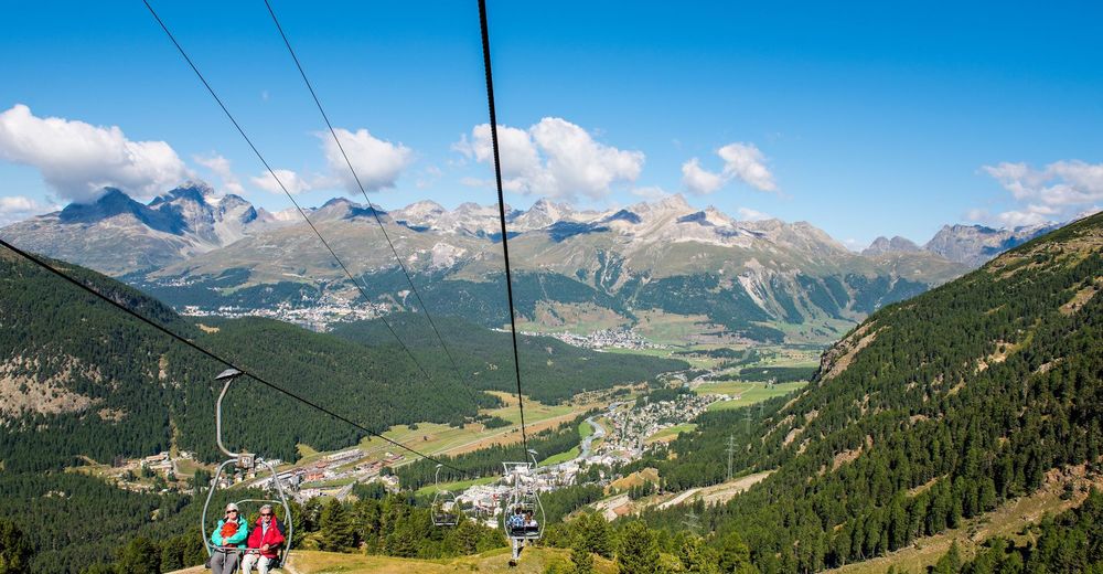
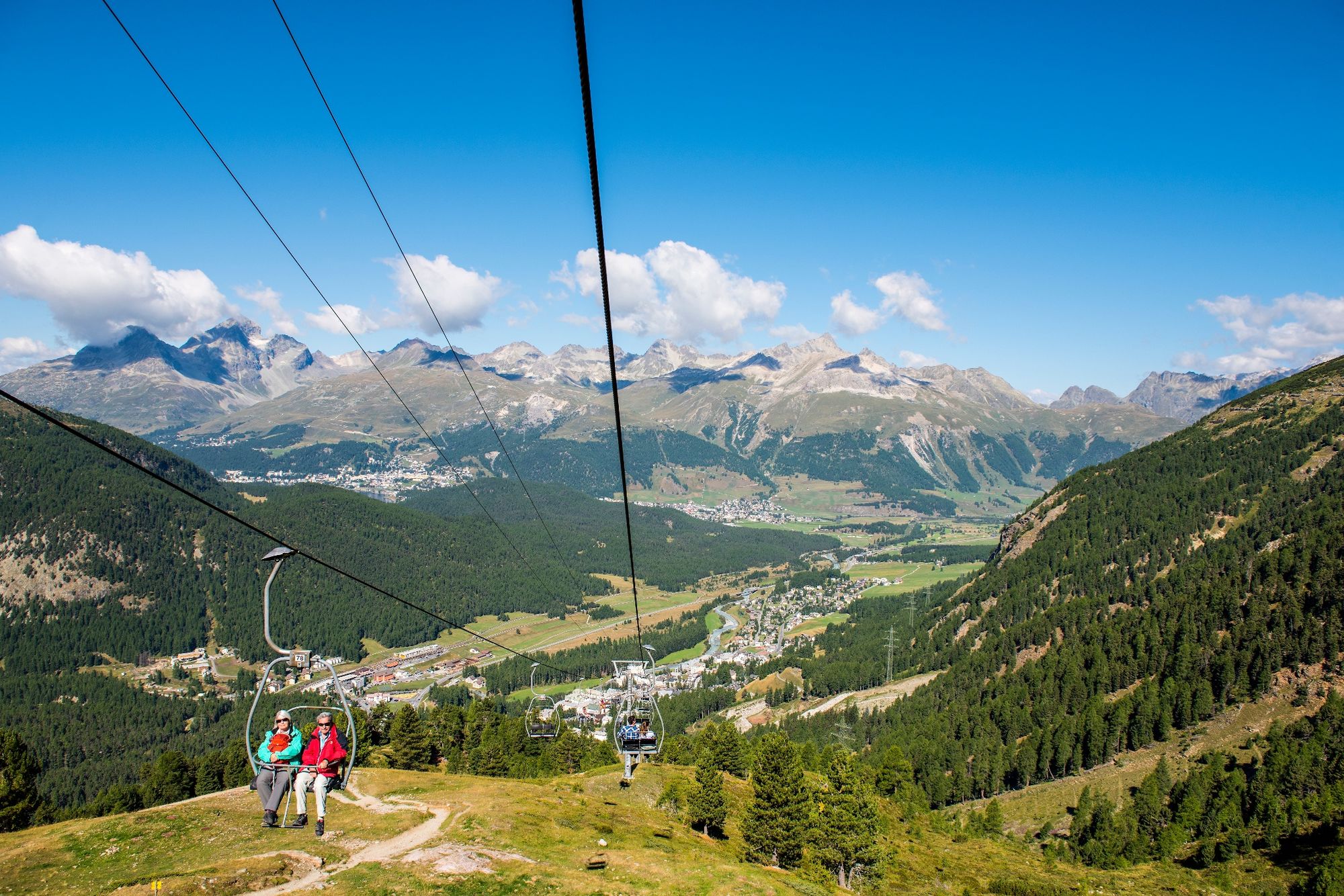
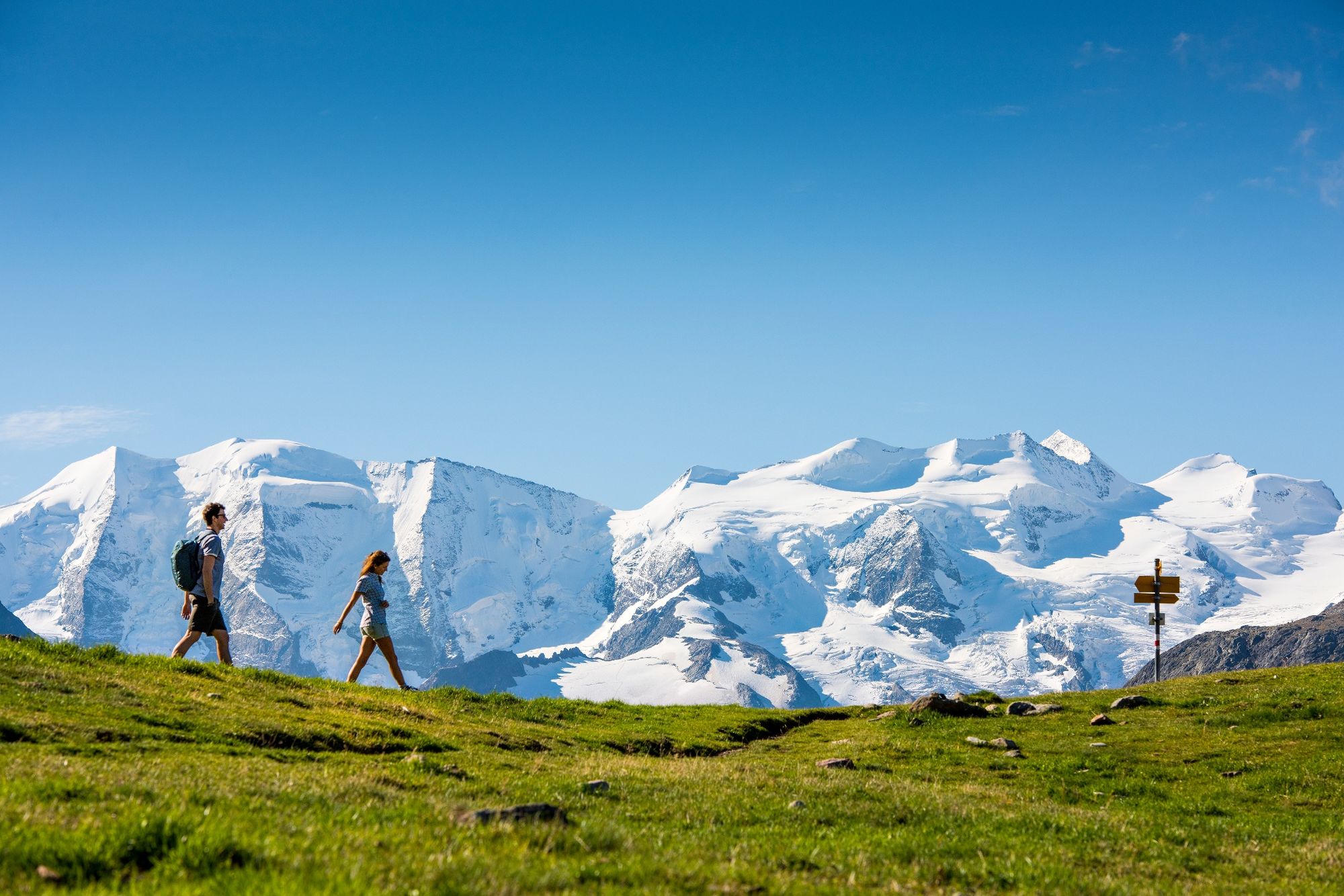
This easy tour starts by taking the chairlift up to Alp Languard (2,326m/7,631ft).
- Difficulty
-
easy
- Rating
-
- Starting point
-
Pontresina, Alp Languard chairlift top station
- Route
-
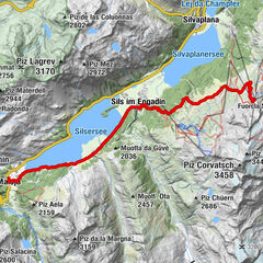
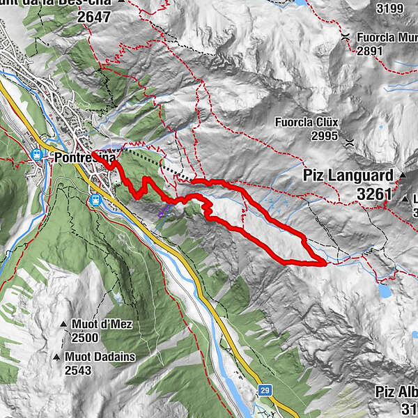
Alp LanguardParadieshütte2.7 kmRöntgenplatz6.0 kmPontresina (1,805 m)7.0 km
- Best season
-
JanFebMarAprMayJunJulAugSepOctNovDec
- Description
-
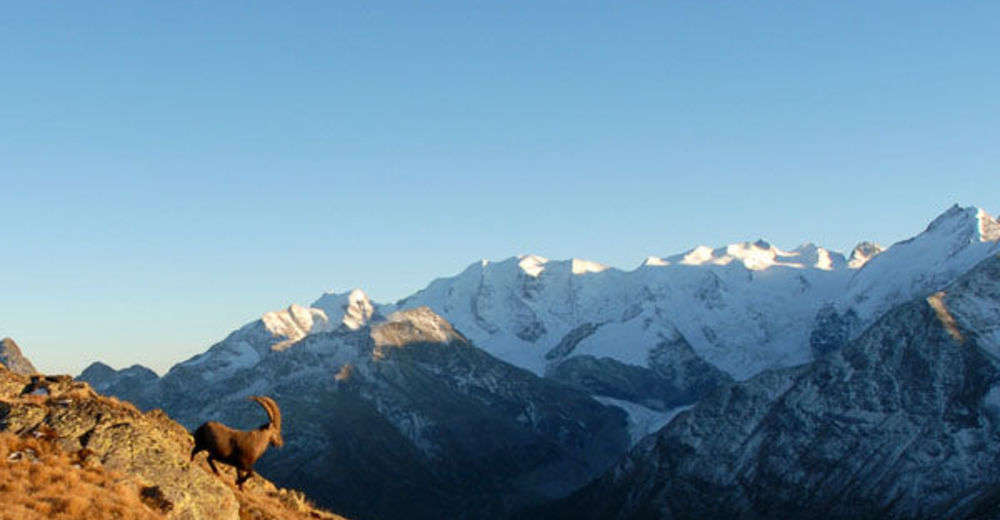
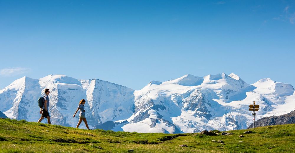
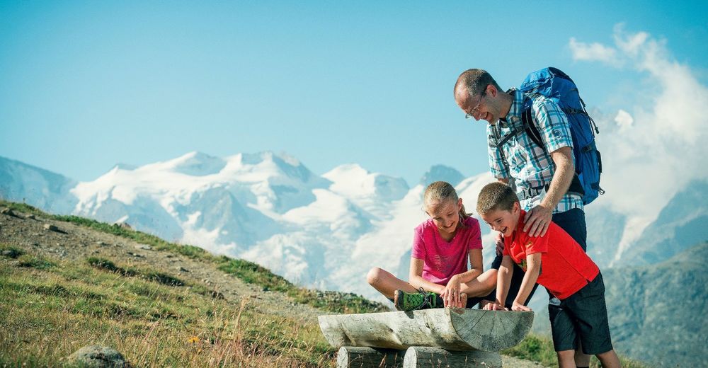
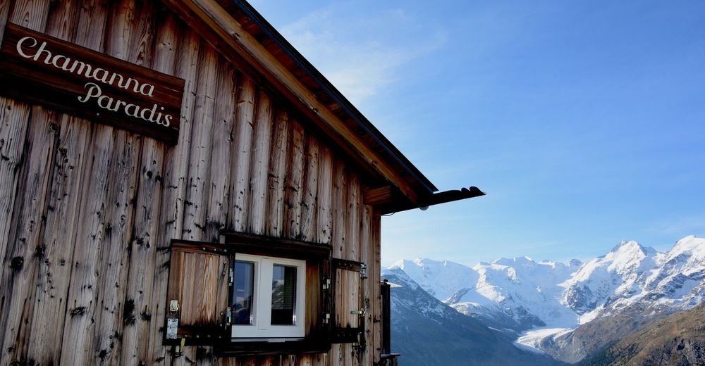
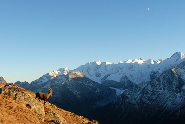
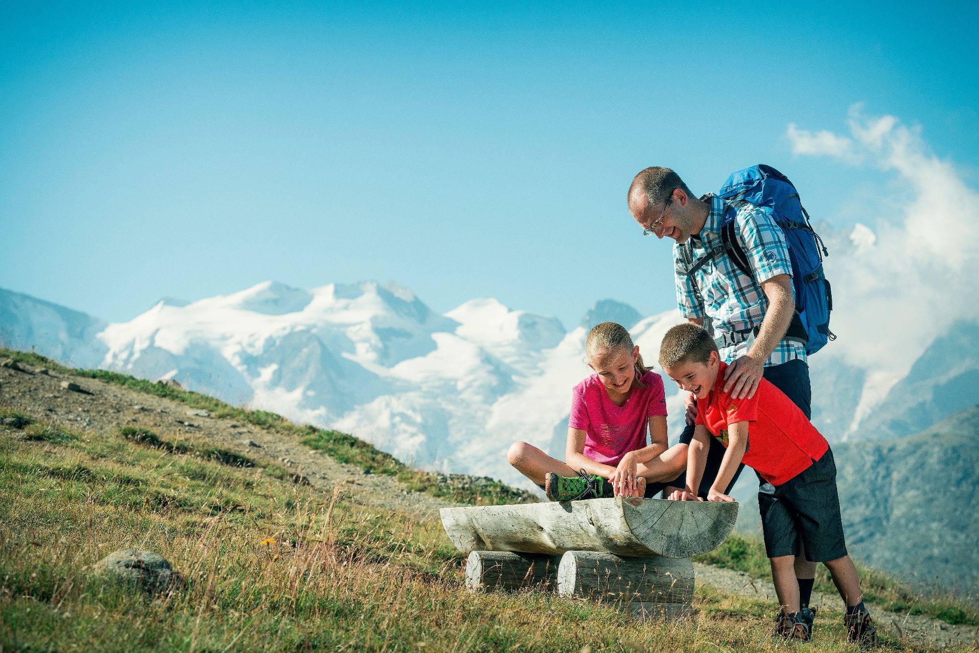
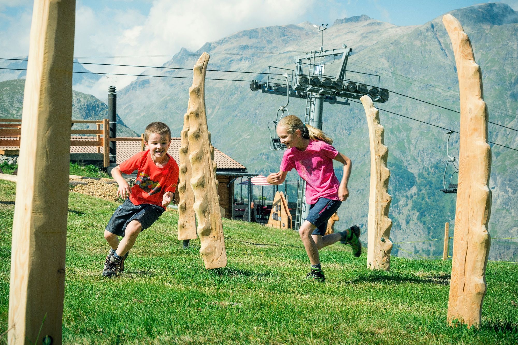
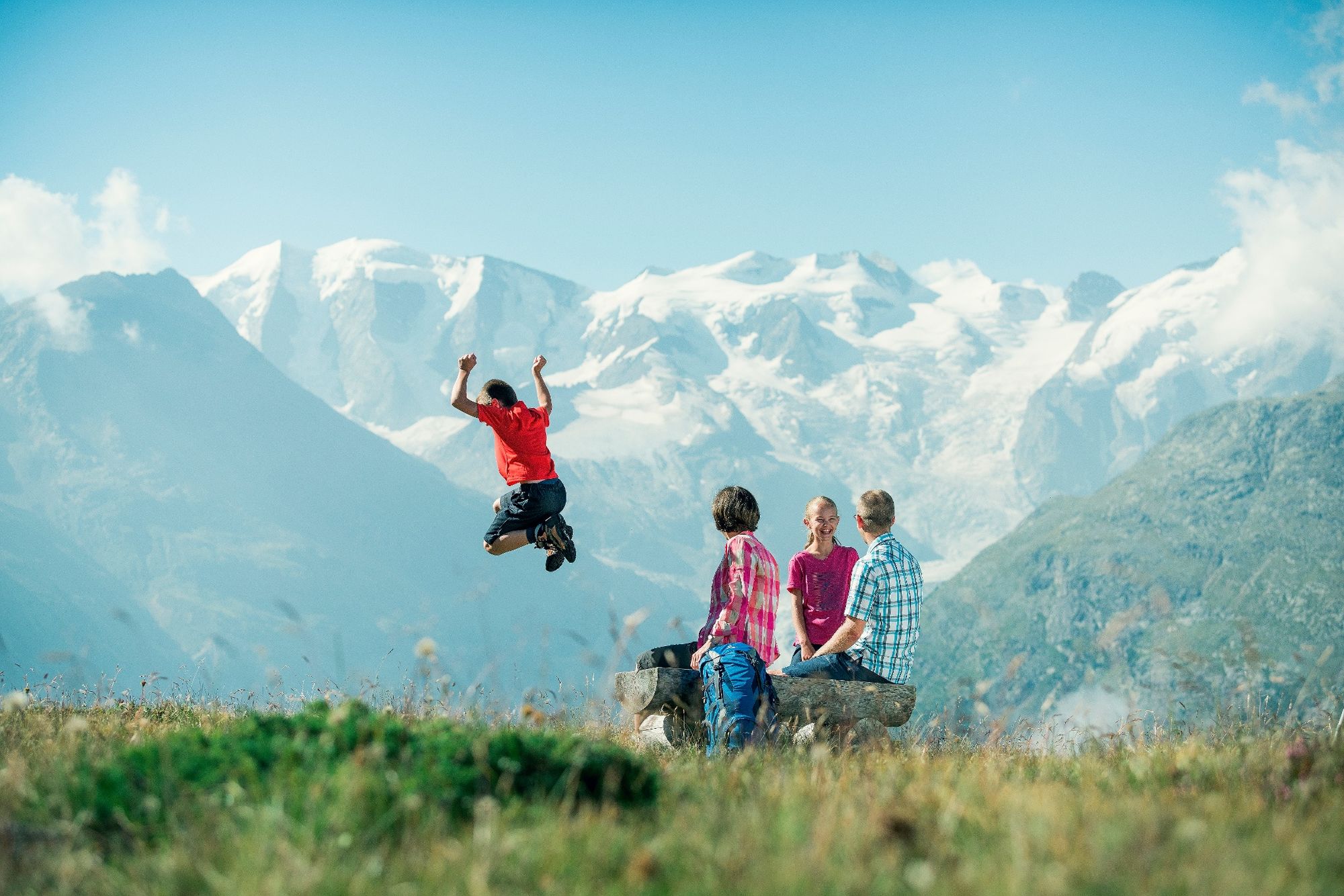
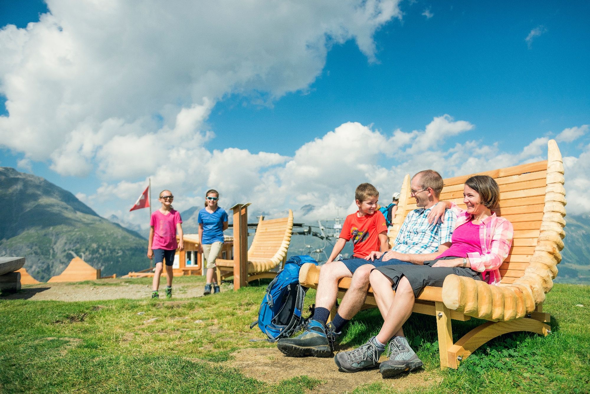
From the Alp Languard, the trail leads through the Val Languard. Do not forget to take a pair of binoculars with you, because there is plenty to see in the valley, such as marmots sunbathing and, if you are lucky, even ibex, which have been reintroduced here on Piz Albris (3,166m/10,387ft). The route follows the course of the stream, which ends at a fork in the trail almost at the end of the valley. The march towards Paradis Hut (2540 m/8,333ft) should be rewarded with a piece of cake. After this delicious pick-me-up, the trail takes you along the crest and past some wonderful viewpoints opening out onto the magnificent Bernina Massif. From the treeline, the zigzag forest trail - which is named after Prof. C.W. Röntgen, the inventor of the x-ray - descends towards Pontresina. The hike ends beside the two cultural highlights of Saint Mary's Church and the Spaniola Tower.
More information
Engadin Tourismus AG
Via Maistra 1
CH-7500 St. Moritz
Phone: +41 81 830 00 01
E-mail: allegra@engadin.ch
Internet: www.engadin.ch - Directions
-
Pontresina - Alp Languard - Paradis hut - Röntgenweg - Giarsun - Pontresina
- Highest point
- 2,538 m
- Endpoint
-
Pontresina
- Height profile
-
 © outdooractive.com
 - Tips
-
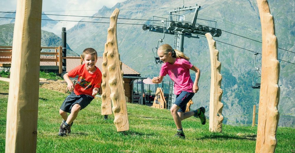
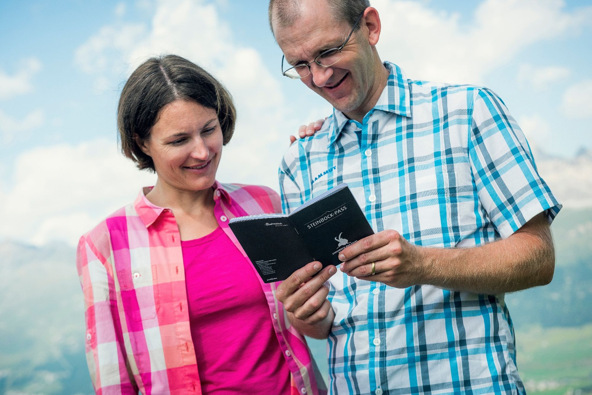
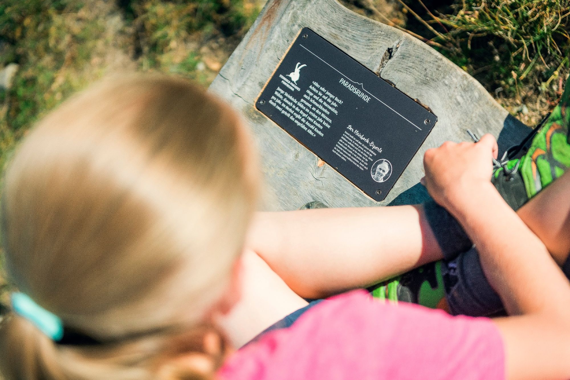
Remember to discover Pontresina's Ibex Paradise. www.pontresina.ch/steinbock-paradies
If you do not fancy a steep descent, you can take the chairlift back to the valley.
- Public transportation


- Author
-
The tour Alp Languard - Paradis hut - Pontresina is used by outdooractive.com provided.
GPS Downloads


General info
Refreshment stop
Fauna
A lot of view
Other tours in the regions
-
Veltlin / Valtellina
853
-
Engadin St. Moritz
782
-
Pontresina
317