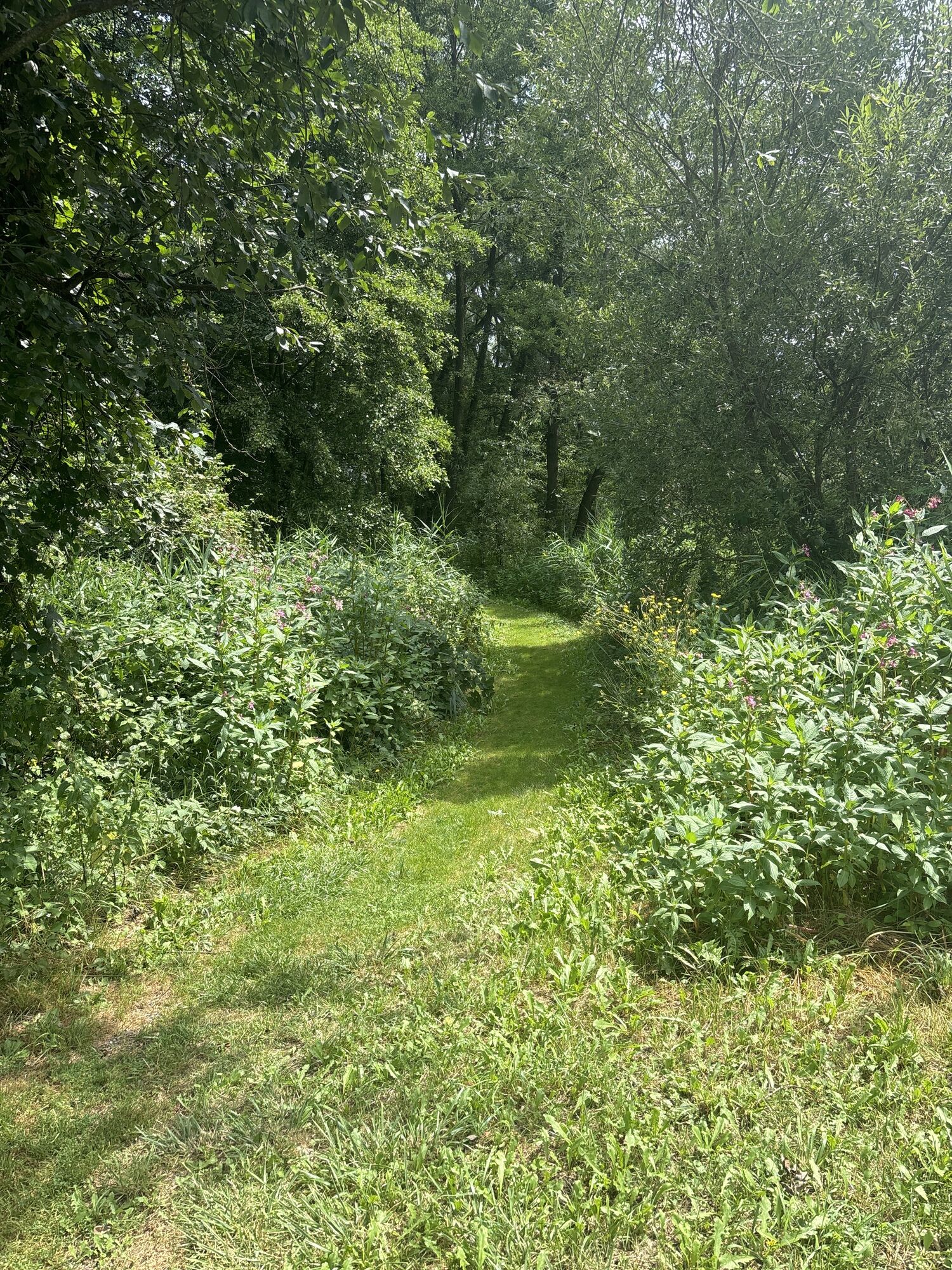
Bad Tatzmannsdorf - Evangelische Kirche Mariasdorf - Evang. Pfarrkirche - Röm.-kath. Filialkirche zum Heiligsten Herzen Jesu
medium
Navigate
Navigate
Get this tour on your mobile
Bad Tatzmannsdorf - Evangelische Kirche Mariasdorf - Evang. Pfarrkirche - Röm.-kath. Filialkirche zum Heiligsten Herzen Jesu
medium
Cycling
24,85
km
Scan the QR code and start navigation in the bergfex app

Hiking & Tracking


Distance
24,85
km
Duration
02:21
h
Ascent
338
m
Sea level
337 -
635
m
Track download
Bad Tatzmannsdorf - Evangelische Kirche Mariasdorf - Evang. Pfarrkirche - Röm.-kath. Filialkirche zum Heiligsten Herzen Jesu
medium
Cycling
24,85
km


Route
Evang. Friedenskirche
(345 m)
Place of worship
0,5 km
Filialkirche hl. Anna
(354 m)
Place of worship
2,4 km
Mariae Himmelfahrt
(413 m)
Place of worship
5,0 km
Grube
(551 m)
Settlement
10,4 km
Röm.-kath. Filialkirche zum Heiligsten Herzen Jesu
(413 m)
Place of worship
17,0 km
Bergwerk
(378 m)
Village
18,9 km
Neustift bei Schlaining
(485 m)
Village
20,2 km
Route
Bad Tatzmannsdorf
(335 m)
Village
0,2 km
Pfarrkirche St. Johannis der Täufer
(346 m)
Place of worship
0,4 km
Evang. Friedenskirche
(345 m)
Place of worship
0,5 km
Treiber
(350 m)
Restaurant
2,0 km
Jormannsdorf
(355 m)
Village
2,3 km
Filialkirche hl. Anna
(354 m)
Place of worship
2,4 km
Mostschank Karner
(388 m)
Restaurant
4,7 km
Mariasdorf
(400 m)
Village
4,8 km
Evangelische Kirche Mariasdorf
(398 m)
Place of worship
4,9 km
Mariae Himmelfahrt
(413 m)
Place of worship
5,0 km
Fürst
(426 m)
Restaurant
5,2 km
Quellstollen
(549 m)
Cave entrance
10,2 km
Pam-Hans
(568 m)
Restaurant
10,3 km
Grube
(551 m)
Settlement
10,4 km
Bernstein
(618 m)
Village
11,4 km
Gasthof Heanzenhof
(619 m)
Restaurant
11,6 km
Gasthof Pannonia
(620 m)
Restaurant
11,8 km
Oberhasel
(596 m)
Settlement
14,3 km
Grodnau
(413 m)
Village
17,0 km
Röm.-kath. Filialkirche zum Heiligsten Herzen Jesu
(413 m)
Place of worship
17,0 km
Grabenäcker
(399 m)
Corridor/terrain
18,4 km
Gasthof Seidl
(370 m)
Restaurant
18,6 km
Bergwerk
(378 m)
Village
18,9 km
Neustift bei Schlaining
(485 m)
Village
20,2 km
Sulzriegel
(396 m)
Village
23,8 km
Bad Tatzmannsdorf
(335 m)
Village
24,7 km
Last tracked
one day ago
Valuations
1 Comment
Franz Öppinger
12. Oct. 2024
B53 Edeserpentin-Radweg Bernstein
Popular tours in the neighbourhood
- 4,3
Bahntrassen-Radweg
mediumCycling41,6 km - 4,7
S21 Friedensrundweg
lightHiking11,4 km - 4,4
Bad Schönau - Hutwisch
lightHiking9,99 km - 4,8
“Weg der Blicke” (path of glances) – Bad Schönau
lightHiking5,99 km Südburgenländischer Bahntrassen-Radweg
lightCycling67 km- 4,0
"Weg der Blicke"
lightHiking5,86 km - 4,2
BAD-SCHÖNAU Hutwisch und wieder zurück 20220611
mediumHiking10,8 km - 4,2
Summit hiking route
heavyHiking20,6 km - 5,0
Geschriebenstein Roas
heavyHiking55,3 km - 4,0
Geschriebenstein
lightHiking3,90 km
Hiking & Tracking

Over 550.000 tour suggestions, detailed maps and an intuitive route planner make the app a must-have for all nature enthusiasts.

Don't miss out on offers and inspiration for your next holiday
Subscribe to the newsletter
Error
An error has occurred. Please try again.Thank you for your registration
Your e-mail address has been added to the mailing list.
Tours throughout Europe
Austria Switzerland Germany Italy Slovenia France Netherlands Belgium Poland Liechtenstein Czechia Slovakia Spain Croatia Bosnia and Herzegovina Luxembourg Andorra Portugal Iceland United Kingdom Ireland Greece Albania North Macedonia Malta Norway Montenegro Moldova Kosovo Hungary San Marino Romania Estonia Latvia Belarus Cyprus Lithuania Serbia Bulgaria Monaco Denmark Sweden Finland