© Naturpark Geschriebenstein - Bgld. Naturparke
© Naturpark Geschriebenstein - Bgld. Naturparke
© Naturpark Geschriebenstein - Bgld. Naturparke

© Tourismusverband Südburgenland - Christian Pinzker
- Brief description
-
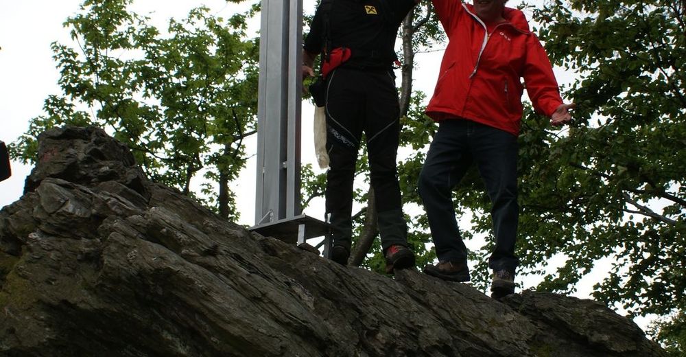
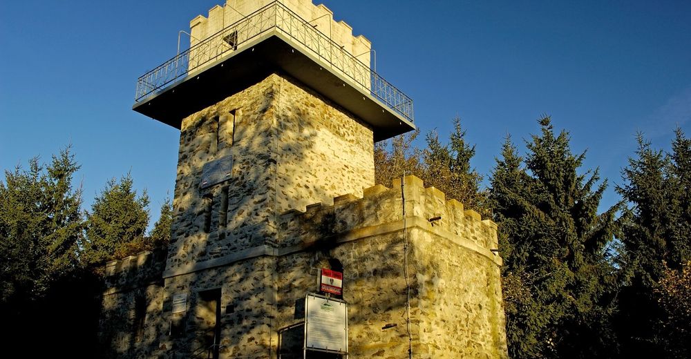
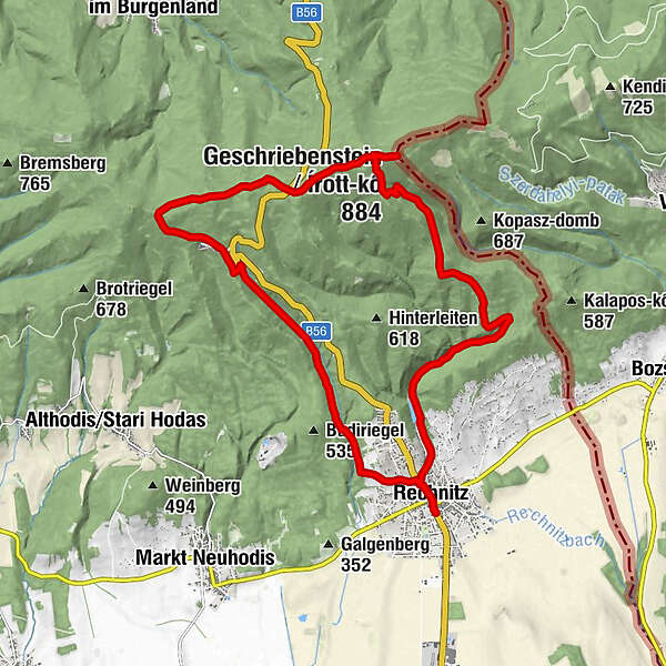
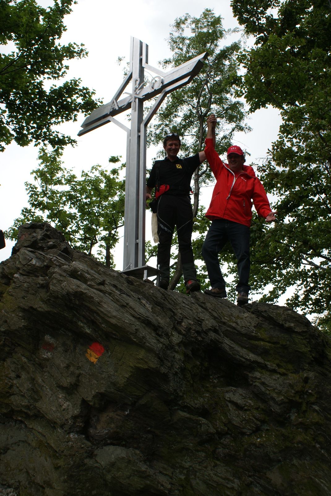
Eine anspruchsvolle Wandertour, die über die beiden höchsten Berge des Burgenlandes führt. Dabei können Sie zwei Gipfelkreuze passieren, bei denen Sie sich in das Gipfelbuch eintragen können.
- Difficulty
-
difficult
- Rating
-
- Route
-
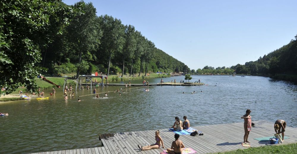
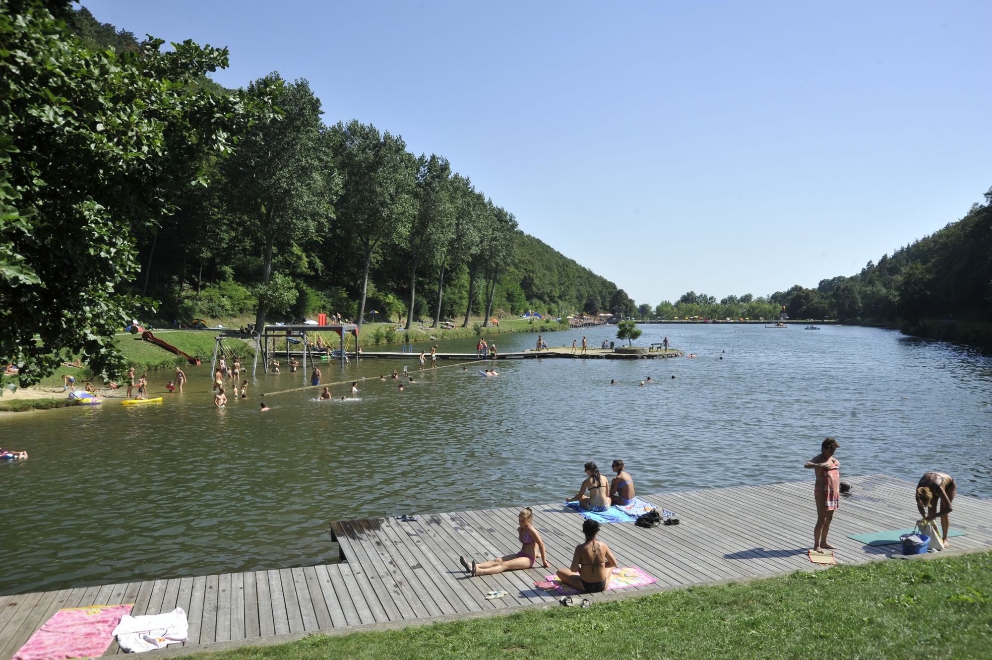
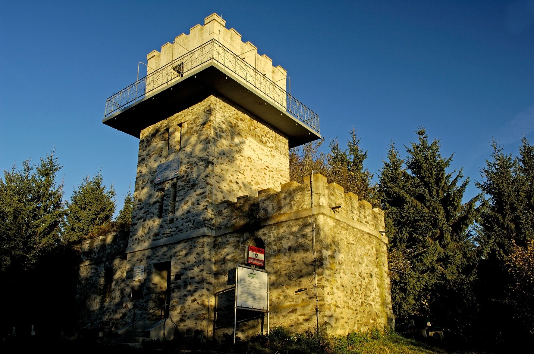
Gasthaus „Am Schlossberg“ Cserer0.1 kmRechnitz0.2 kmPfarrkirche hl. Katharina0.2 kmWolfslucke1.3 kmStauseebuffet1.4 kmGeschriebenstein (884 m)9.0 kmPfarrkirche hl. Katharina20.2 kmRechnitz20.2 kmGasthaus „Am Schlossberg“ Cserer20.3 km
- Best season
-
JanFebMarAprMayJunJulAugSepOctNovDec
- Highest point
- 881 m
- Endpoint
-
Naturparkbüro Rechnitz
- Height profile
-

- Author
-
The tour Gipfelwandertour is used by outdooractive.com provided.
GPS Downloads


General info
Refreshment stop
Insider tip
Flora
A lot of view
Other tours in the regions
-
Wiener Alpen
3050
-
Bucklige Welt - Wiener Alpen
792
-
Rechnitz
138