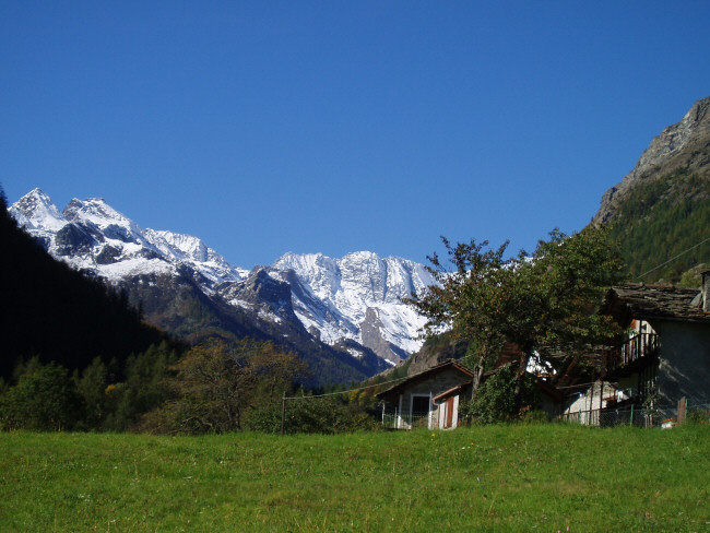
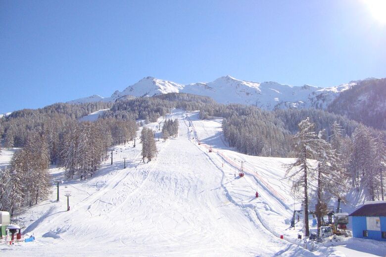
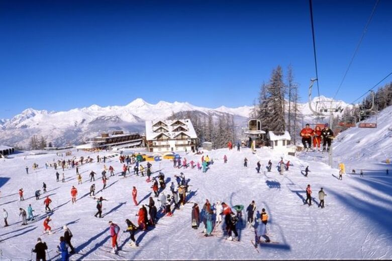
Diese kleine Gemeinde von ungefähr 500 Einwohnern liegt circa 50 Km von Turin enfernt. Das alpine Dorf befindet sich in einem der drei Lanzo-Täler und ist sowohl für Winter- als auch für Sommersport bekannt.
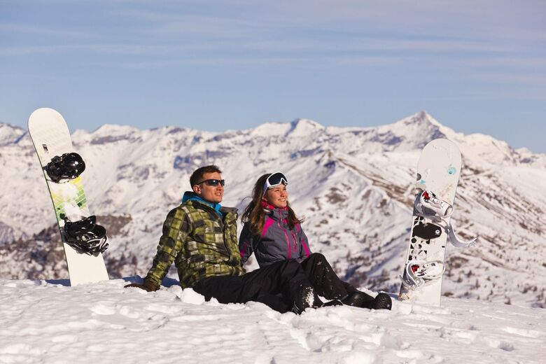
Das Ala-Tal ist circa 30 Km lang und geht von Ceres aufwärts bis zur französischen Grenze, dem Uia Bessanese (3.604 M. ü. M) und dem Uia di Ciamarella (3.676 M. ü. M.).
Contact us
Comune di Ala di Stura
Piazza Centrale, 22, 10070 Ala di Stura (TO)
+39 0123 55102
info@comunealadistura.it
https://www.comunealadistura.it
Contact us
Comune di Ala di Stura
Piazza Centrale, 22, 10070 Ala di Stura (TO)
+39 0123 55102
info@comunealadistura.it
https://www.comunealadistura.it
Open map


Hiking & Tracking


Over 550.000 tour suggestions, detailed maps and an intuitive route planner make the app a must-have for all nature enthusiasts.

Don't miss out on offers and inspiration for your next holiday
Subscribe to the newsletter
Error
An error has occurred. Please try again.
Thank you for your registration
Your e-mail address has been added to the mailing list.