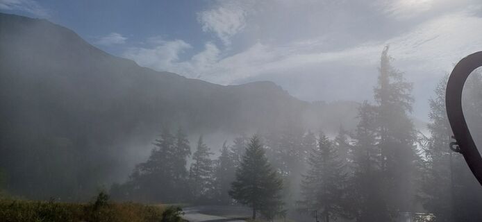
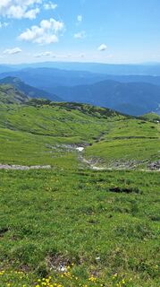
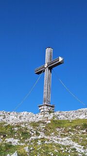
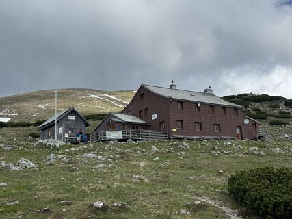
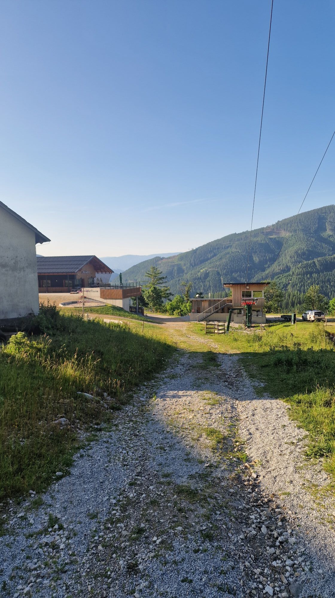
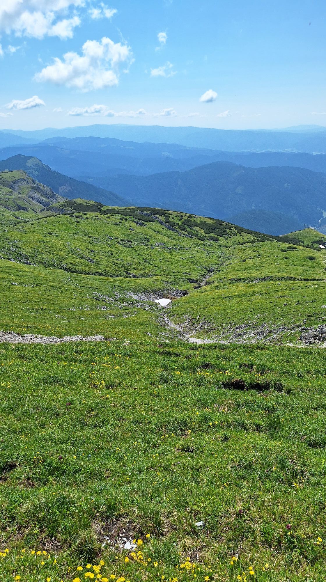
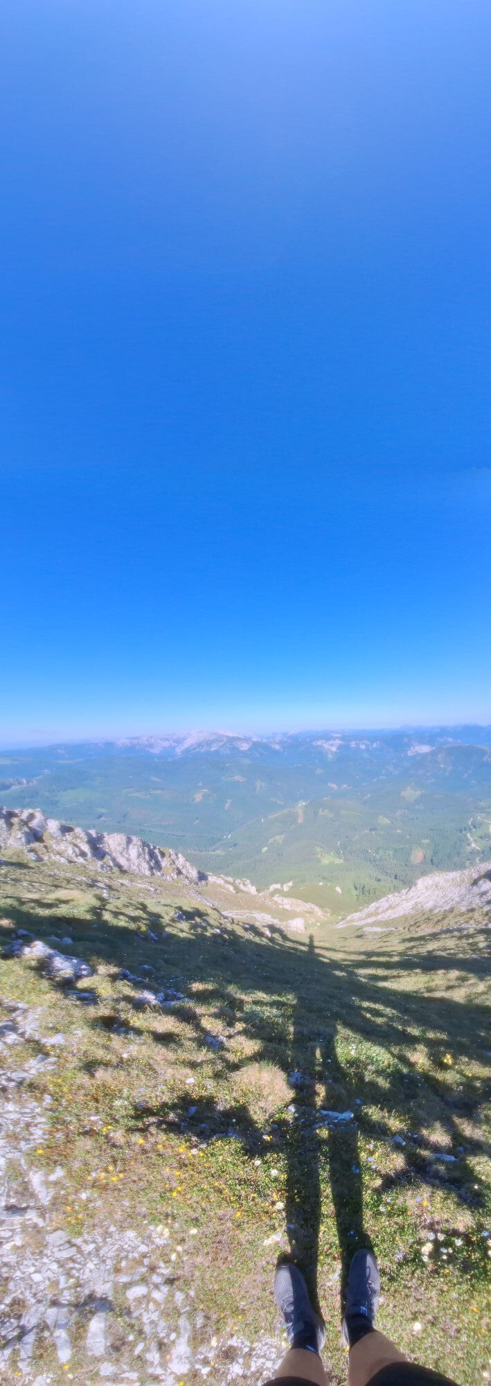
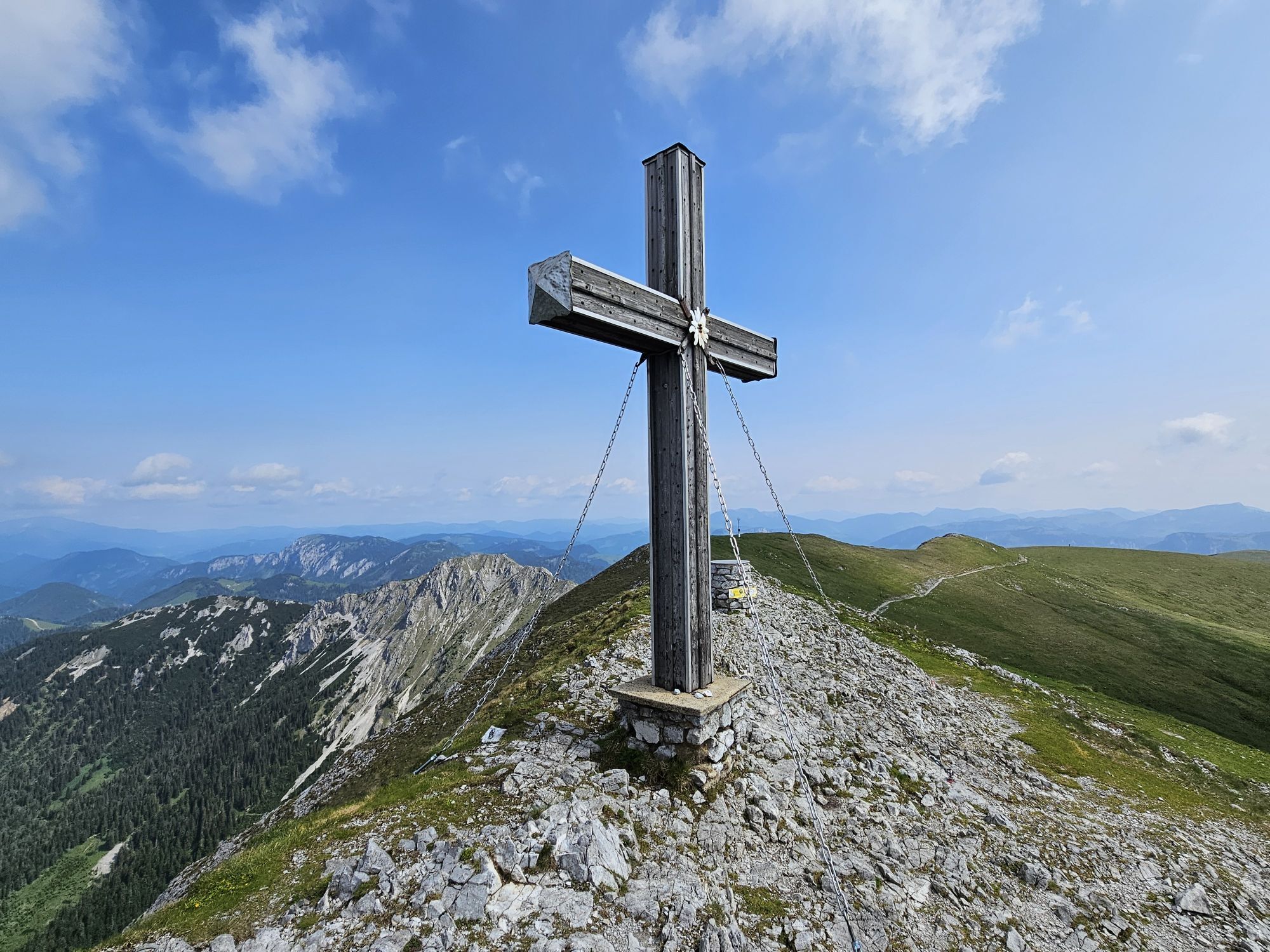
Brunntalbach
Hiking
Navigate
Navigate
Get this tour on your mobile
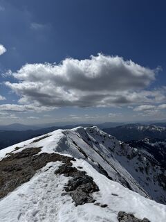
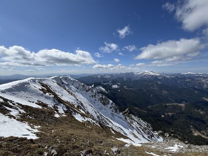
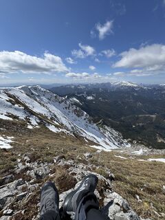
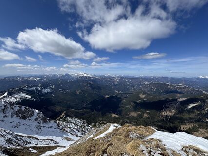
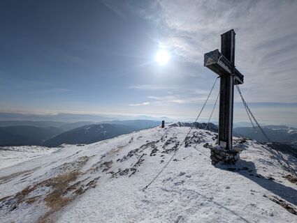
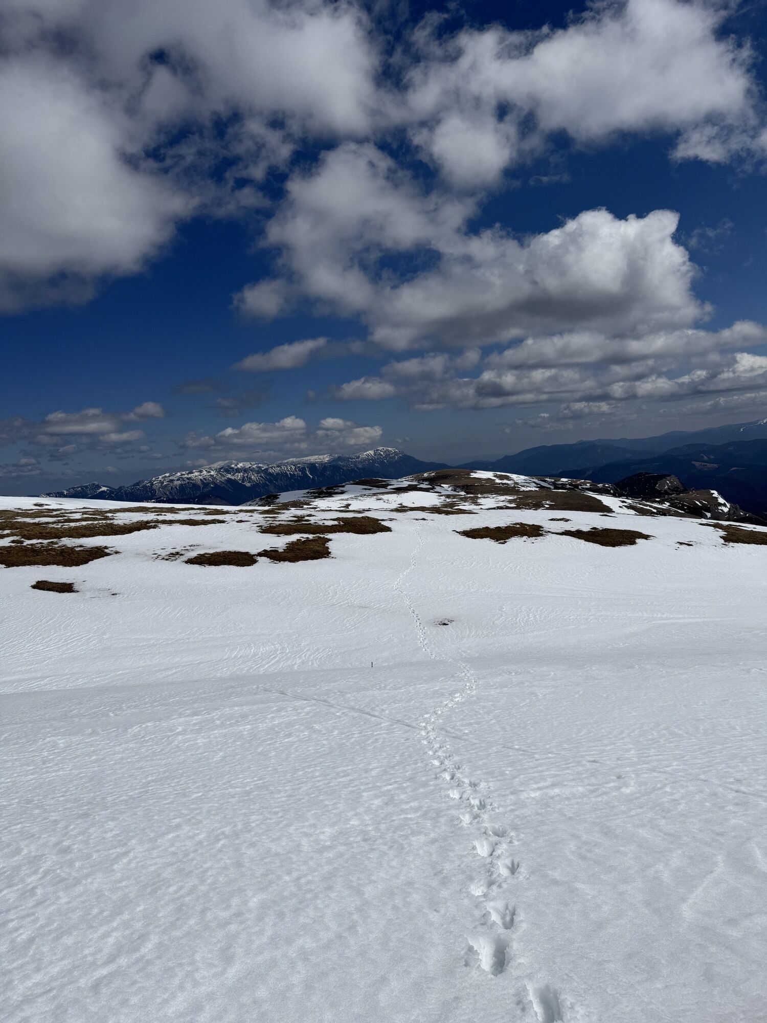
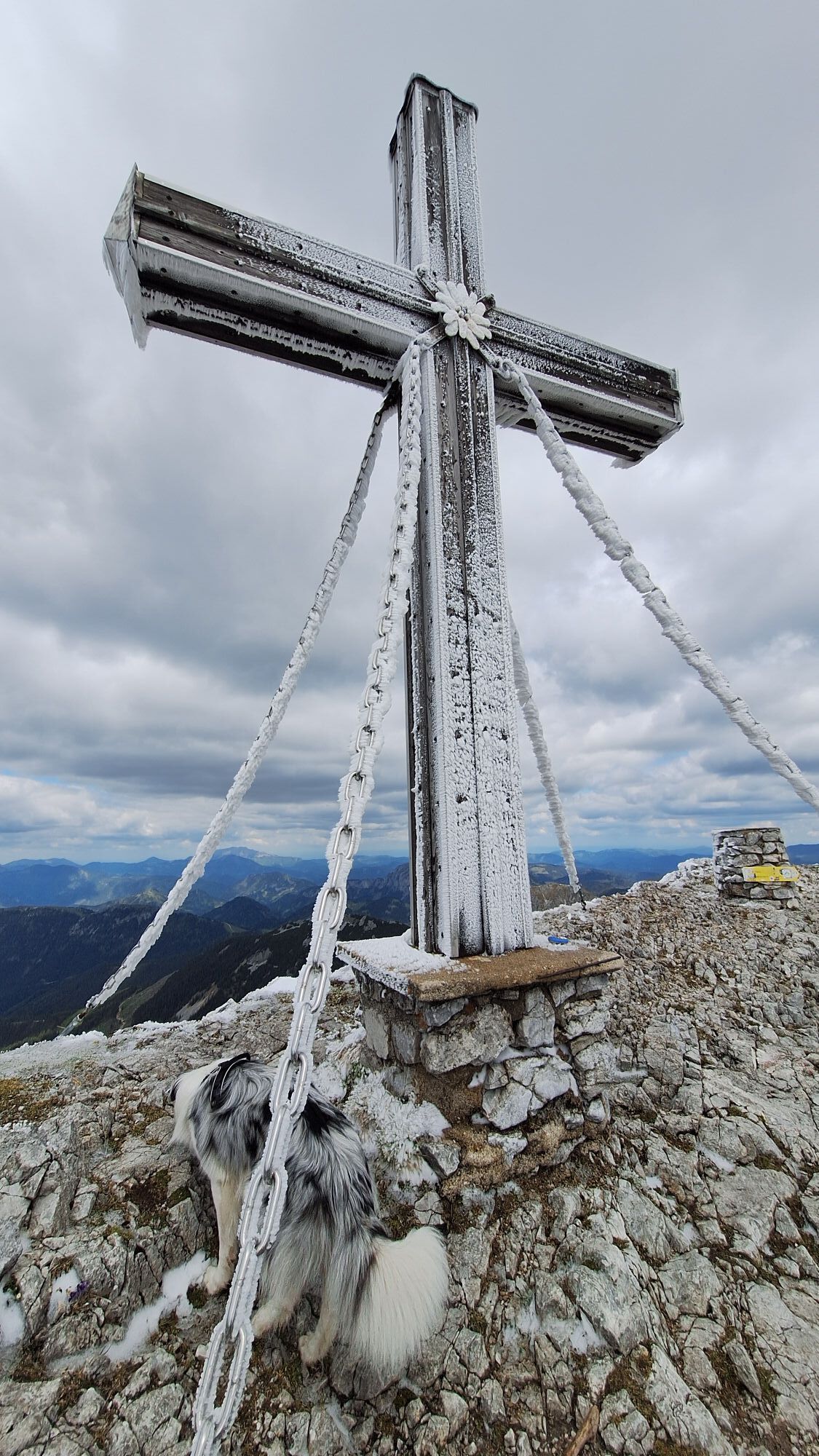
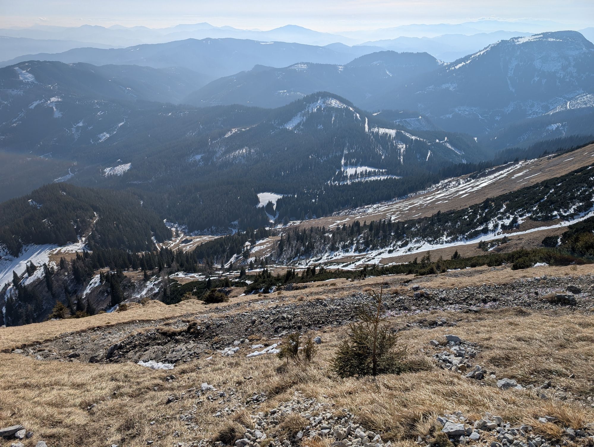
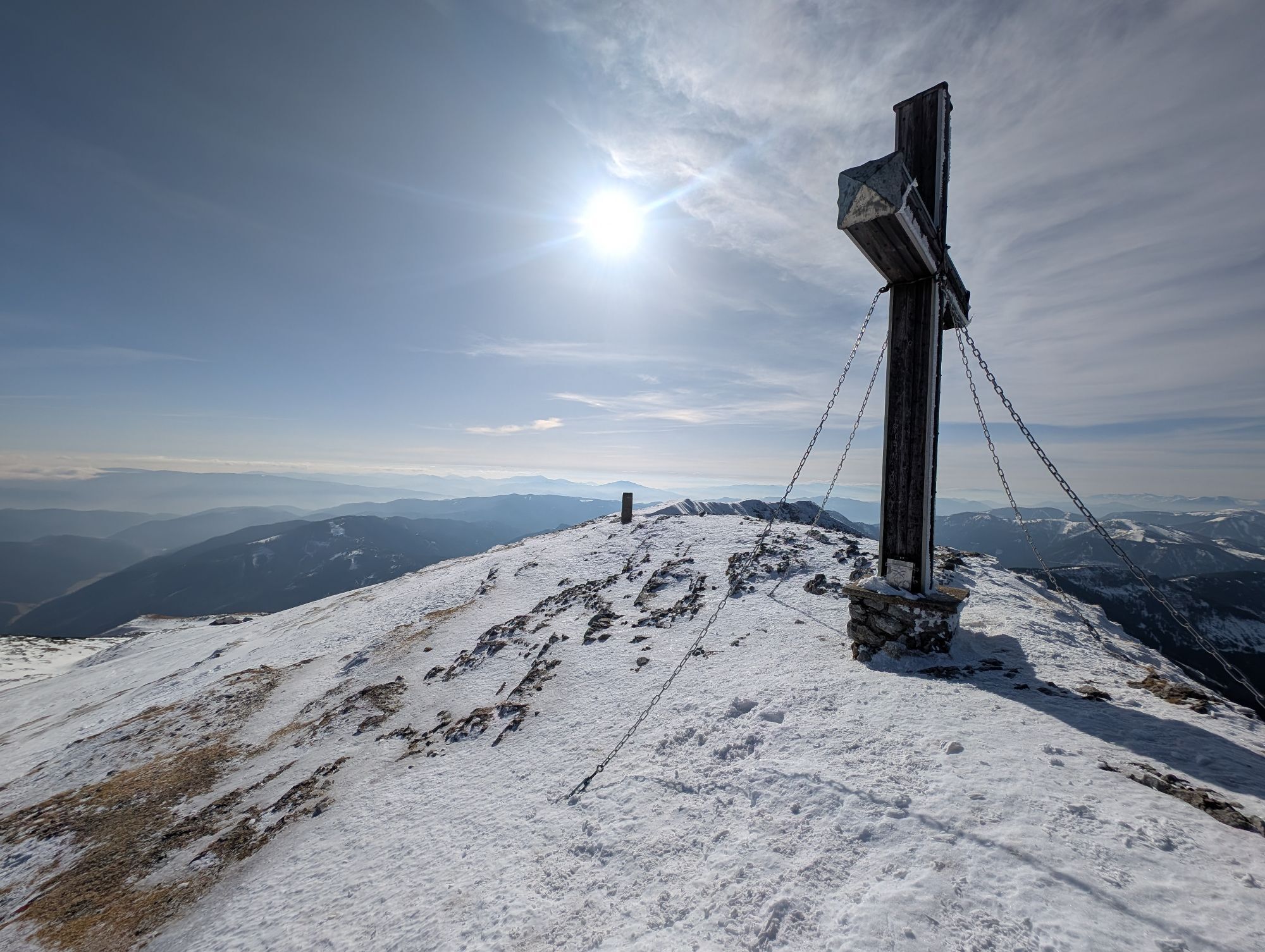
Brunntalbach
Hiking
6.55
km
Scan the QR code and start navigation in the bergfex app

Hiking & Tracking


Distance
6.55
km
Duration
02:43
h
Ascent
683
m
Sea level
1,060 -
1,972
m
Track download
Brunntalbach
Hiking
6.55
km


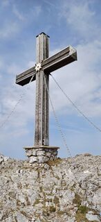
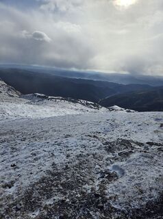
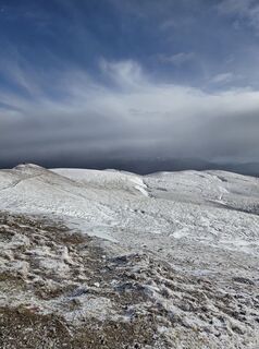
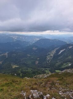
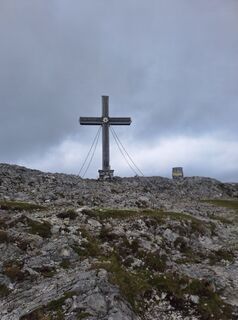
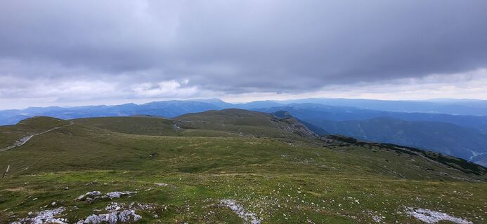
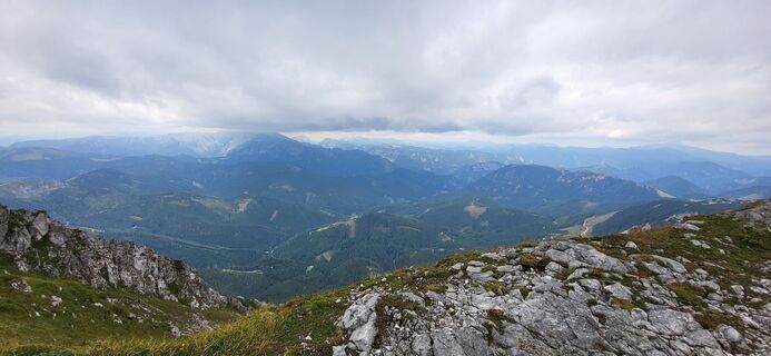
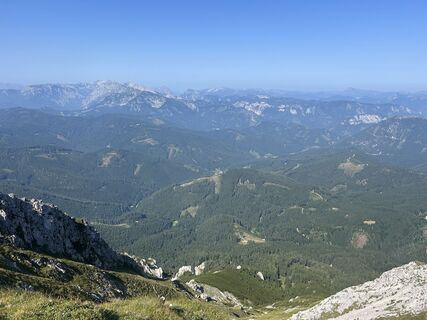
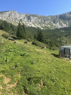
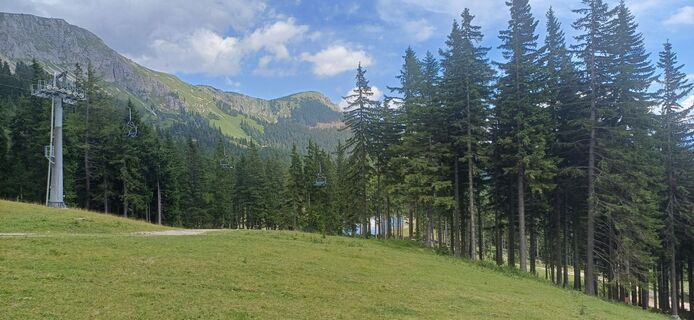
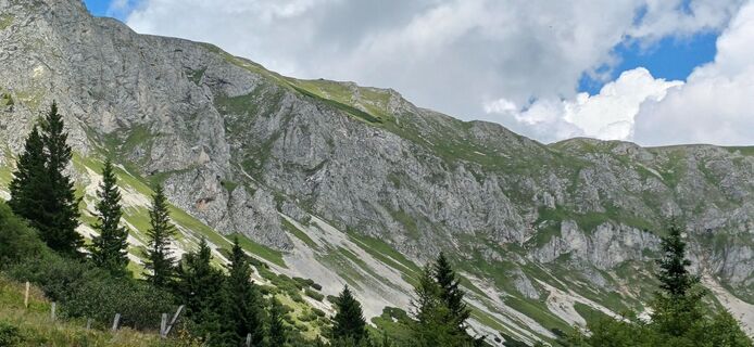
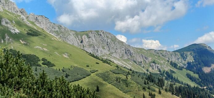
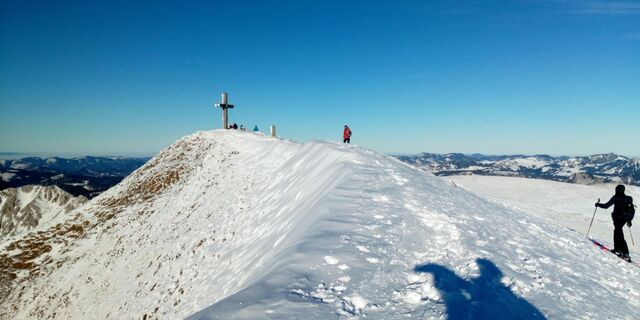
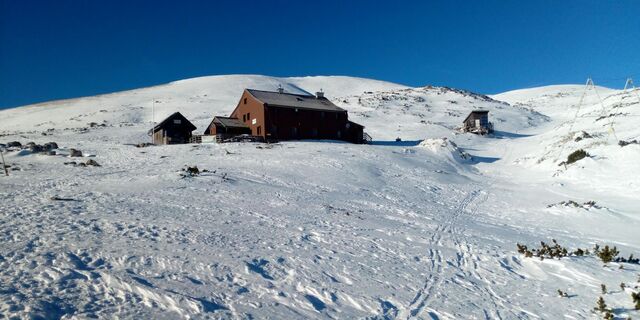
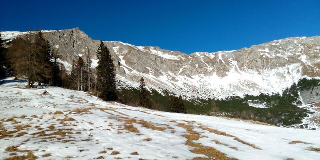
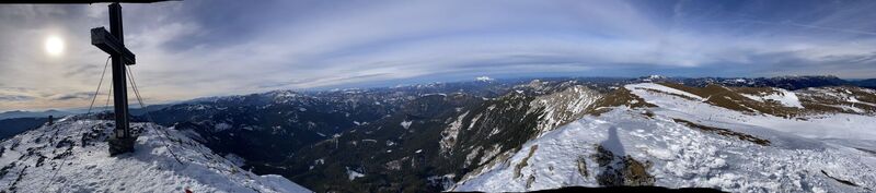
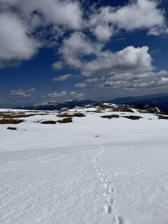
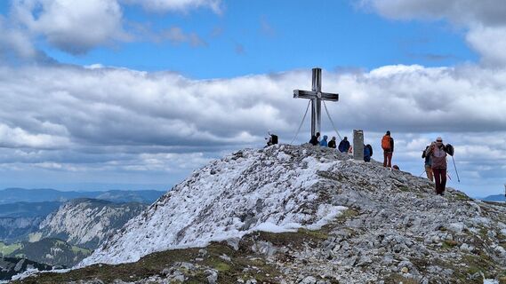
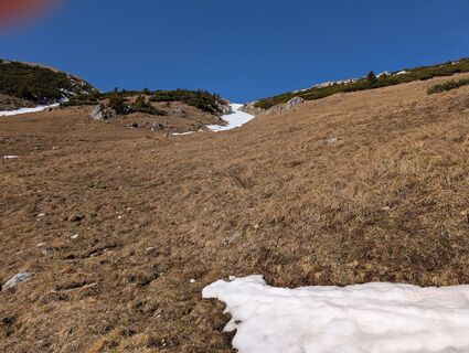
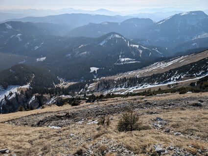
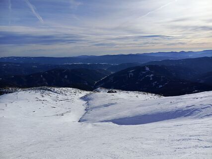
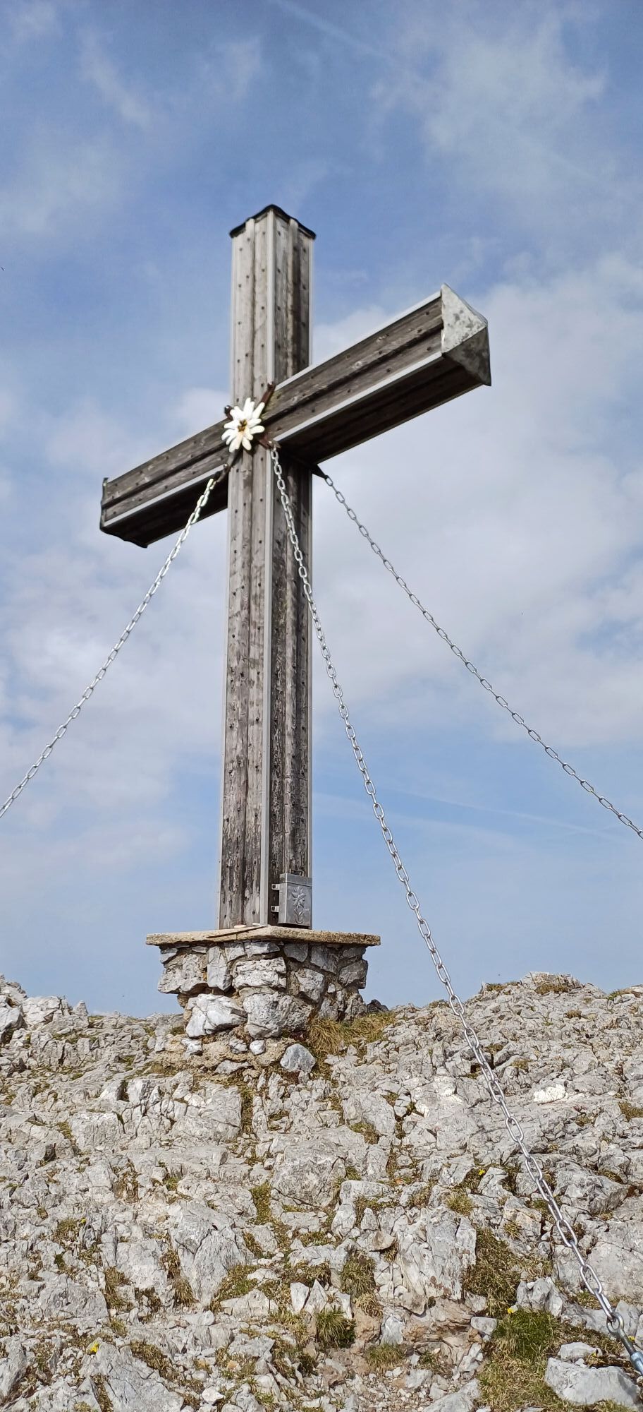
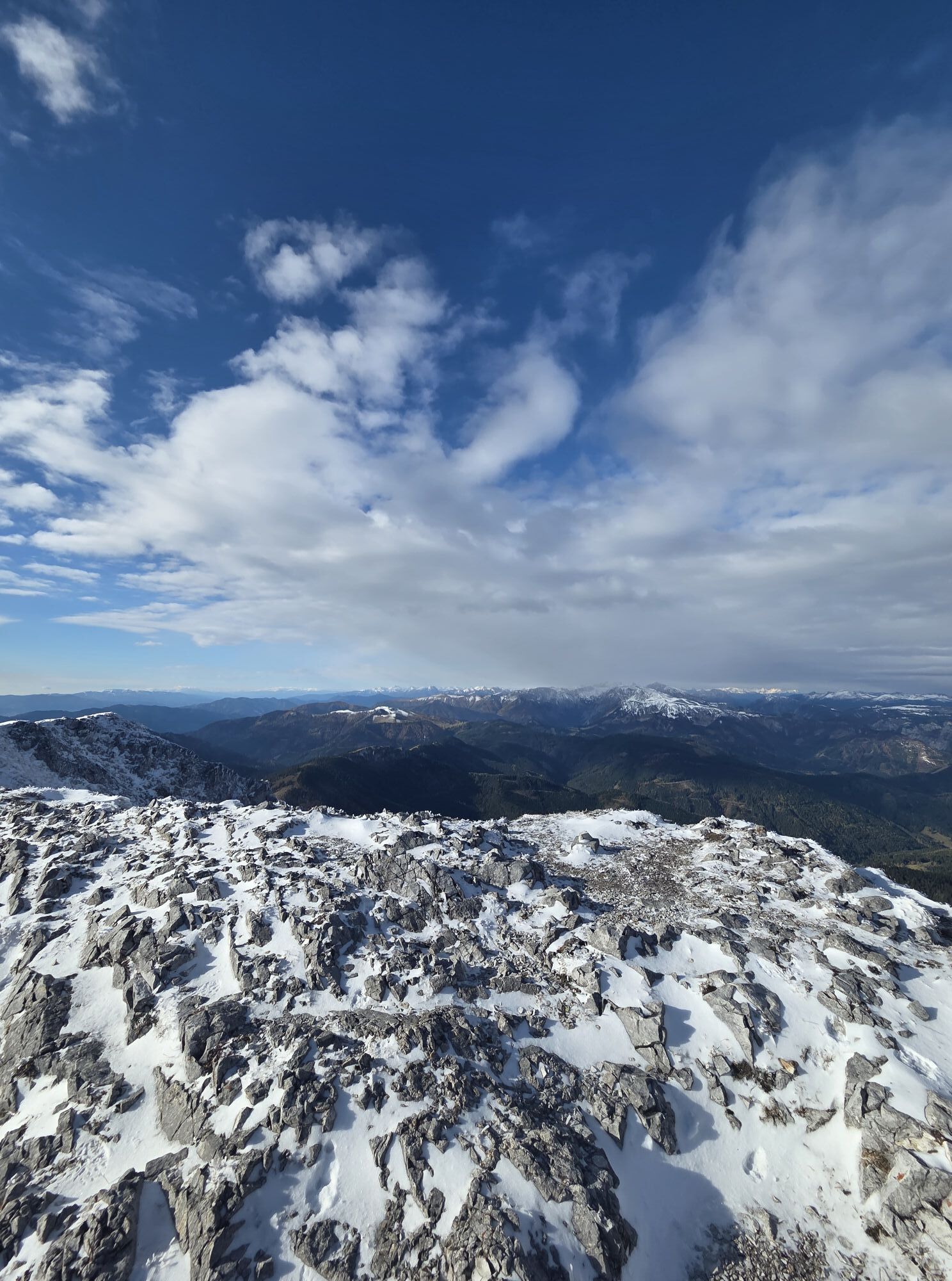
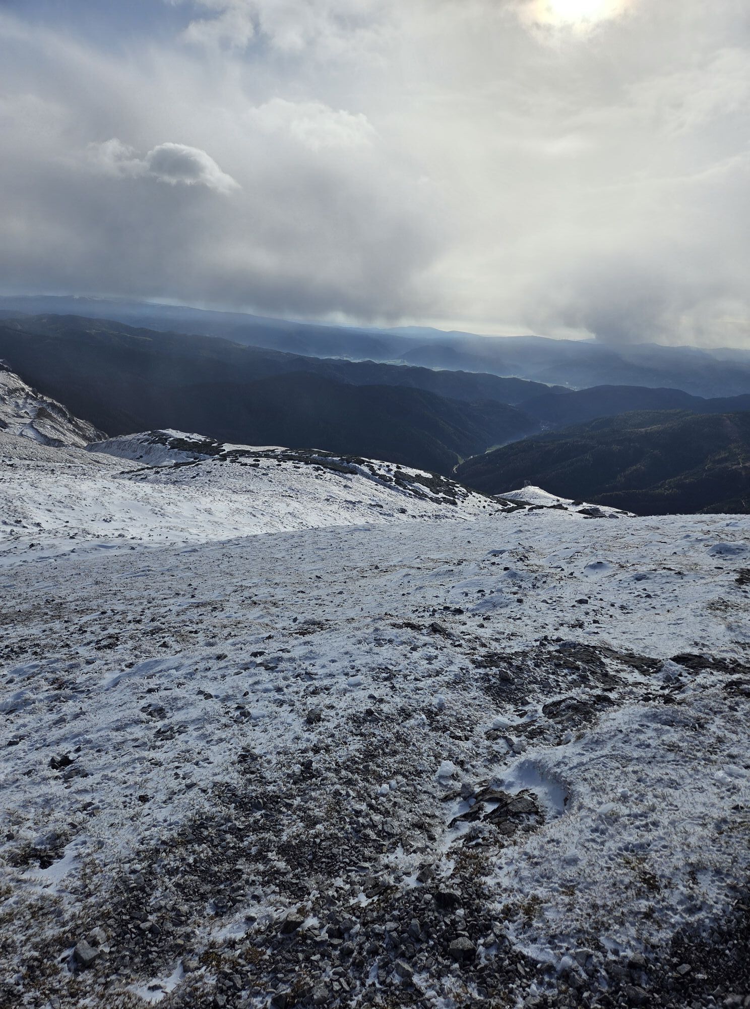
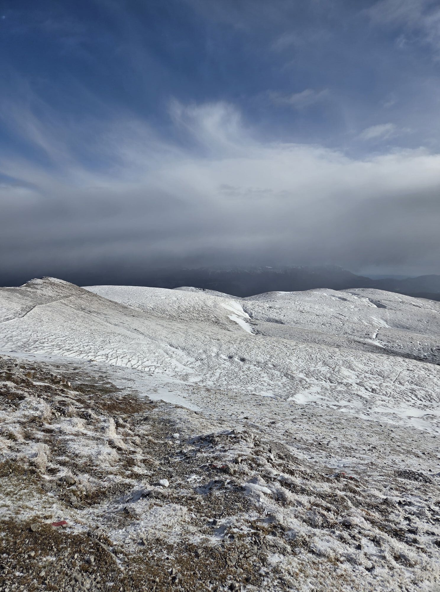
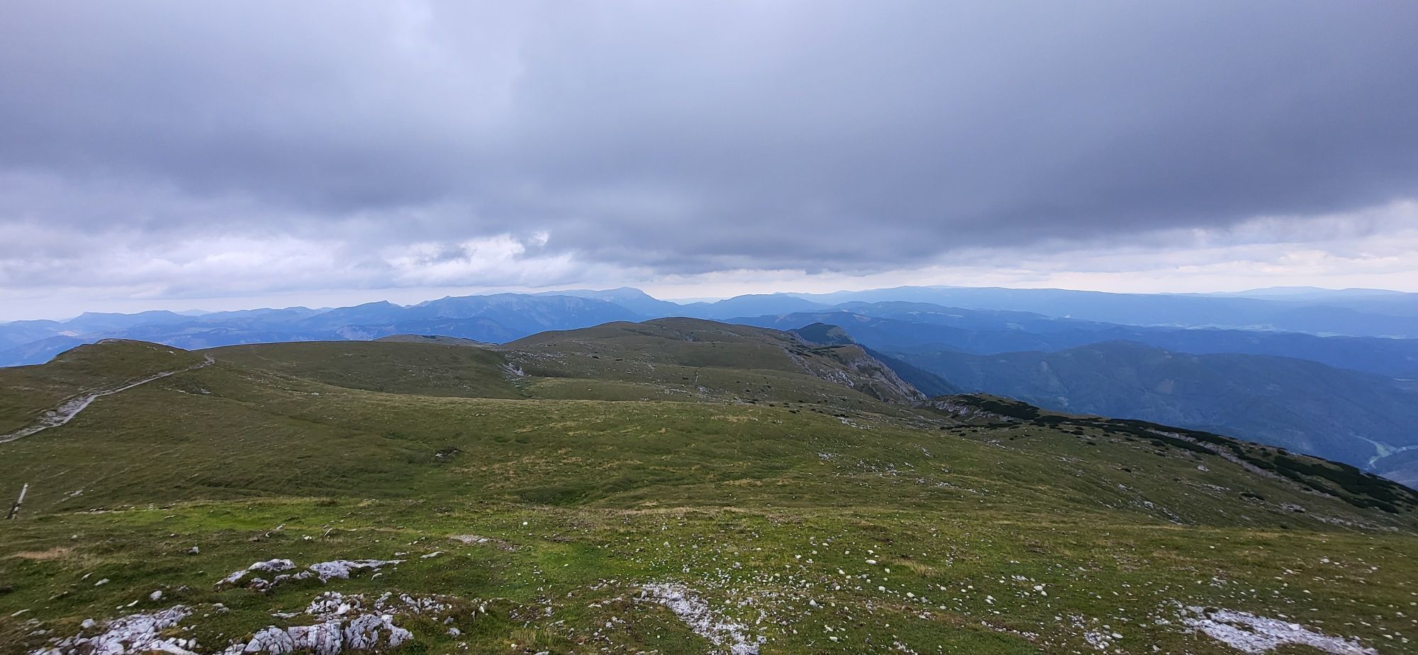
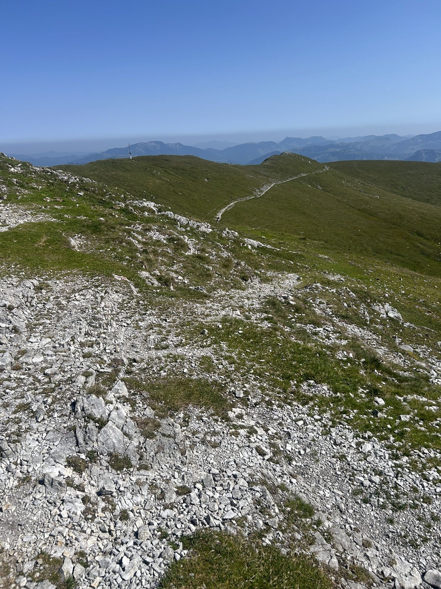
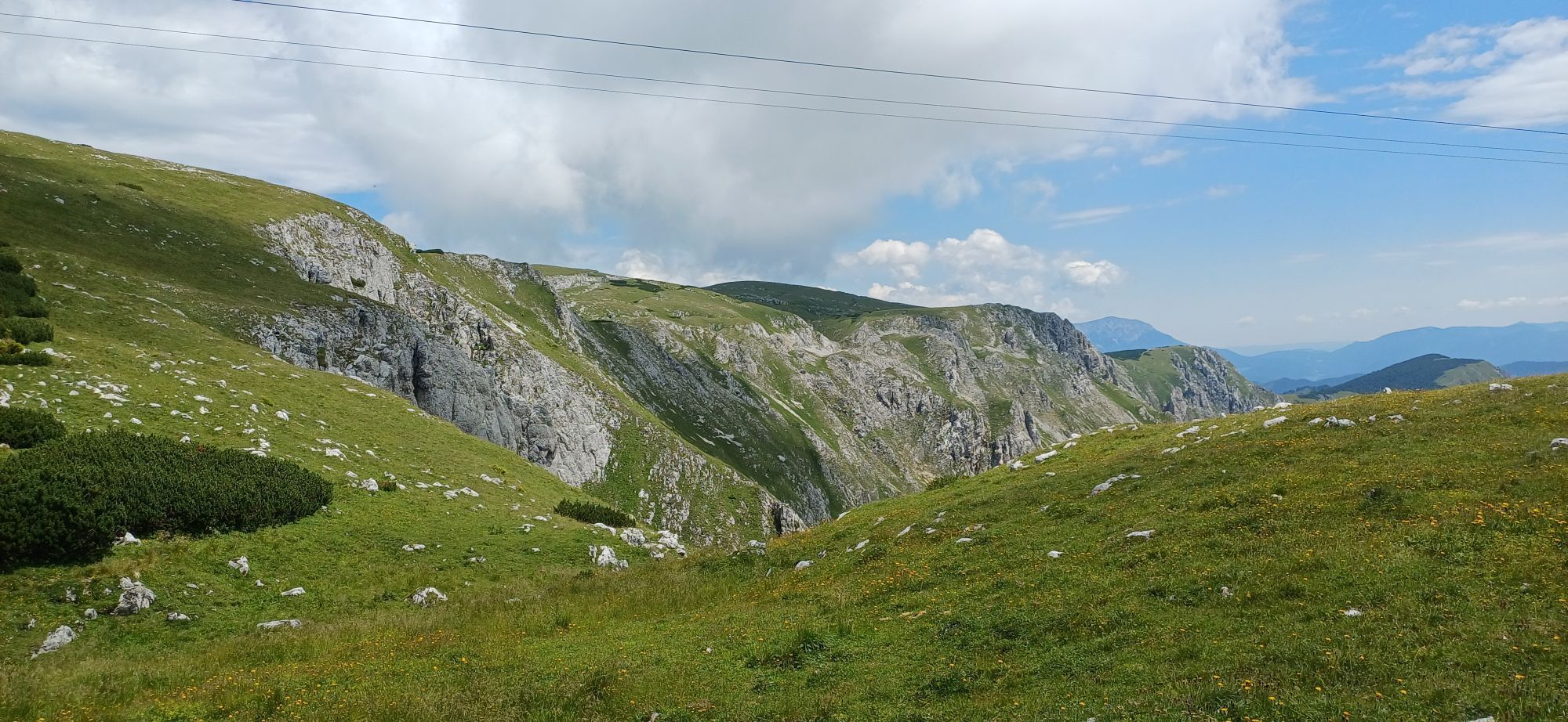
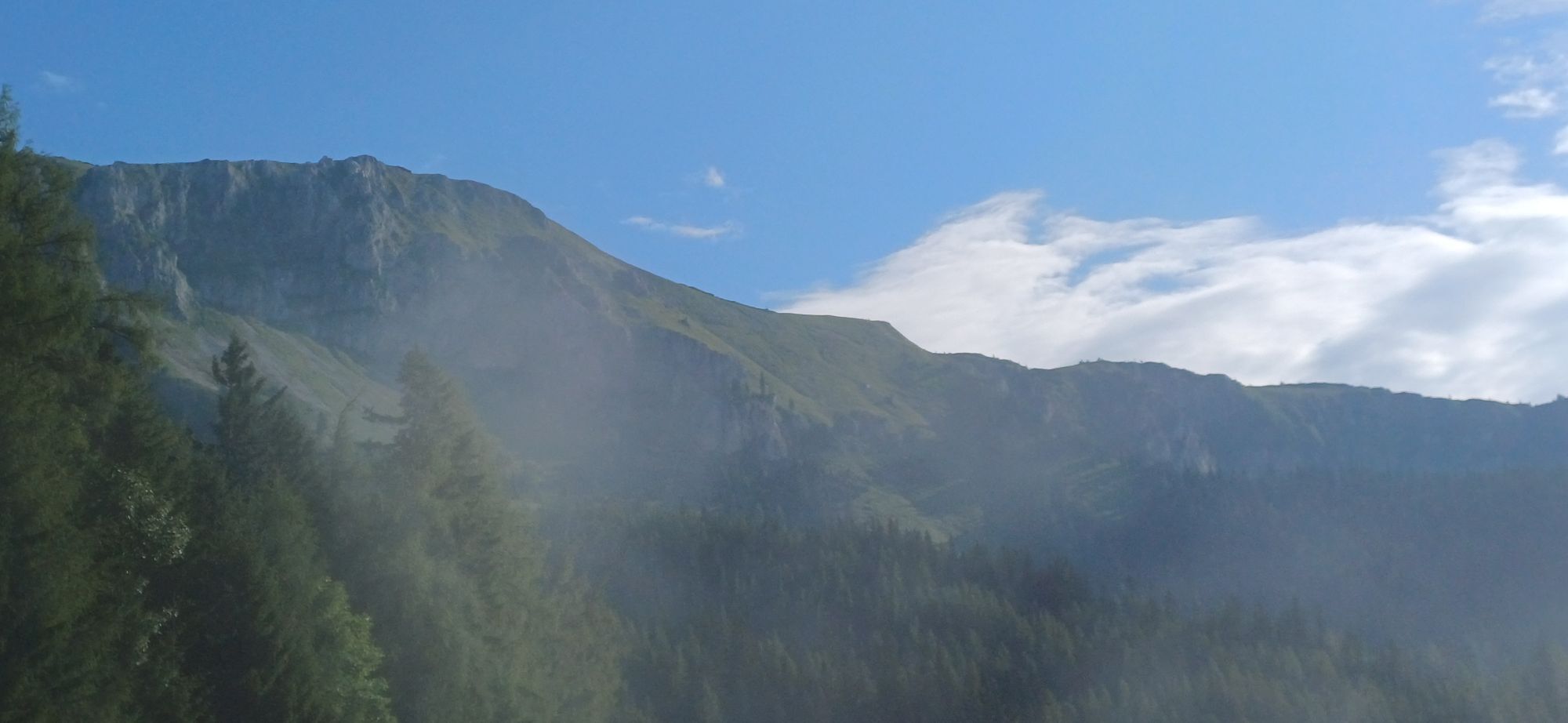
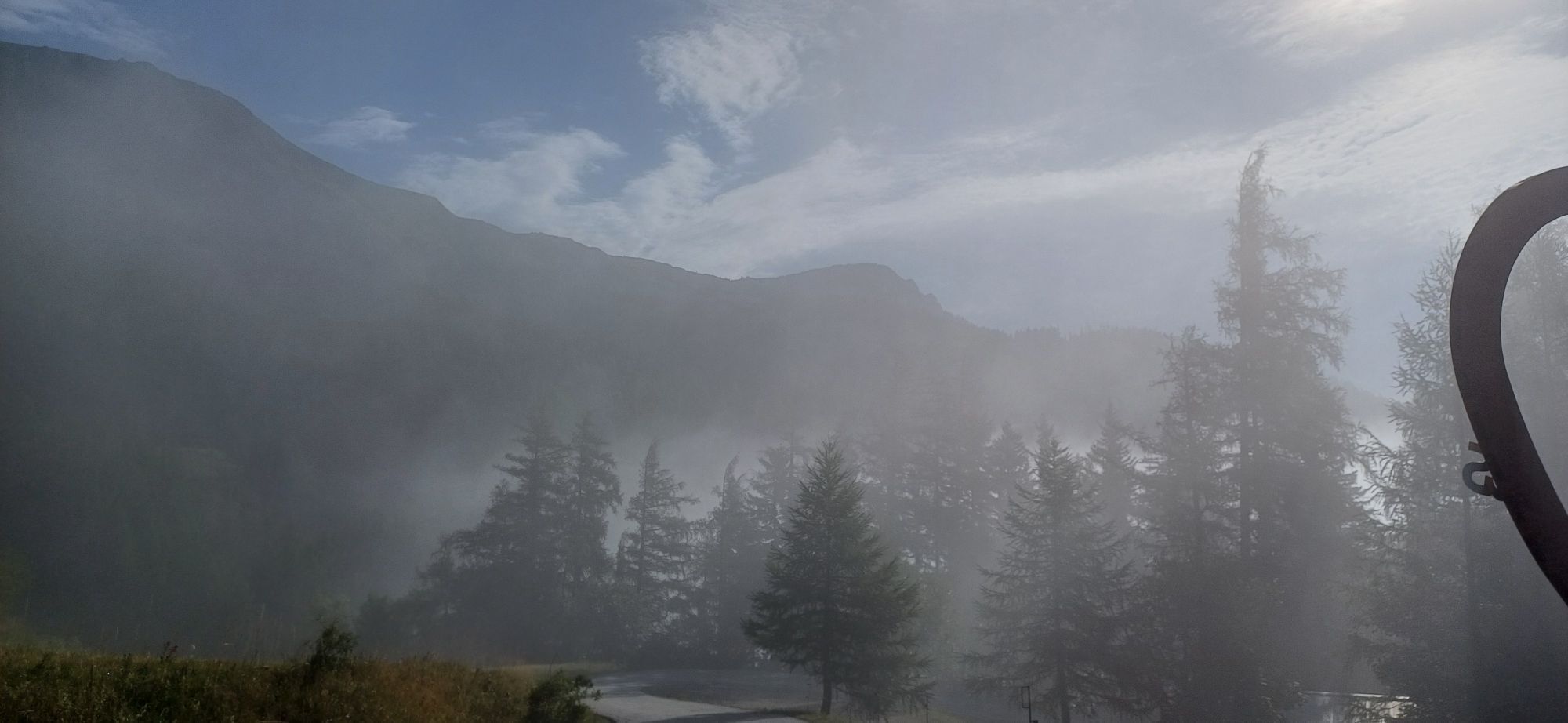
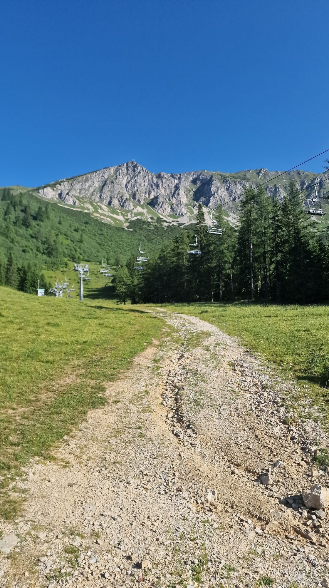
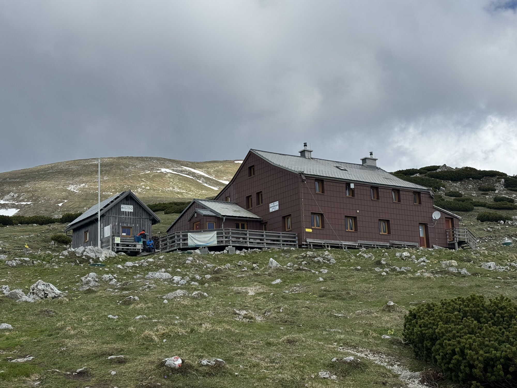
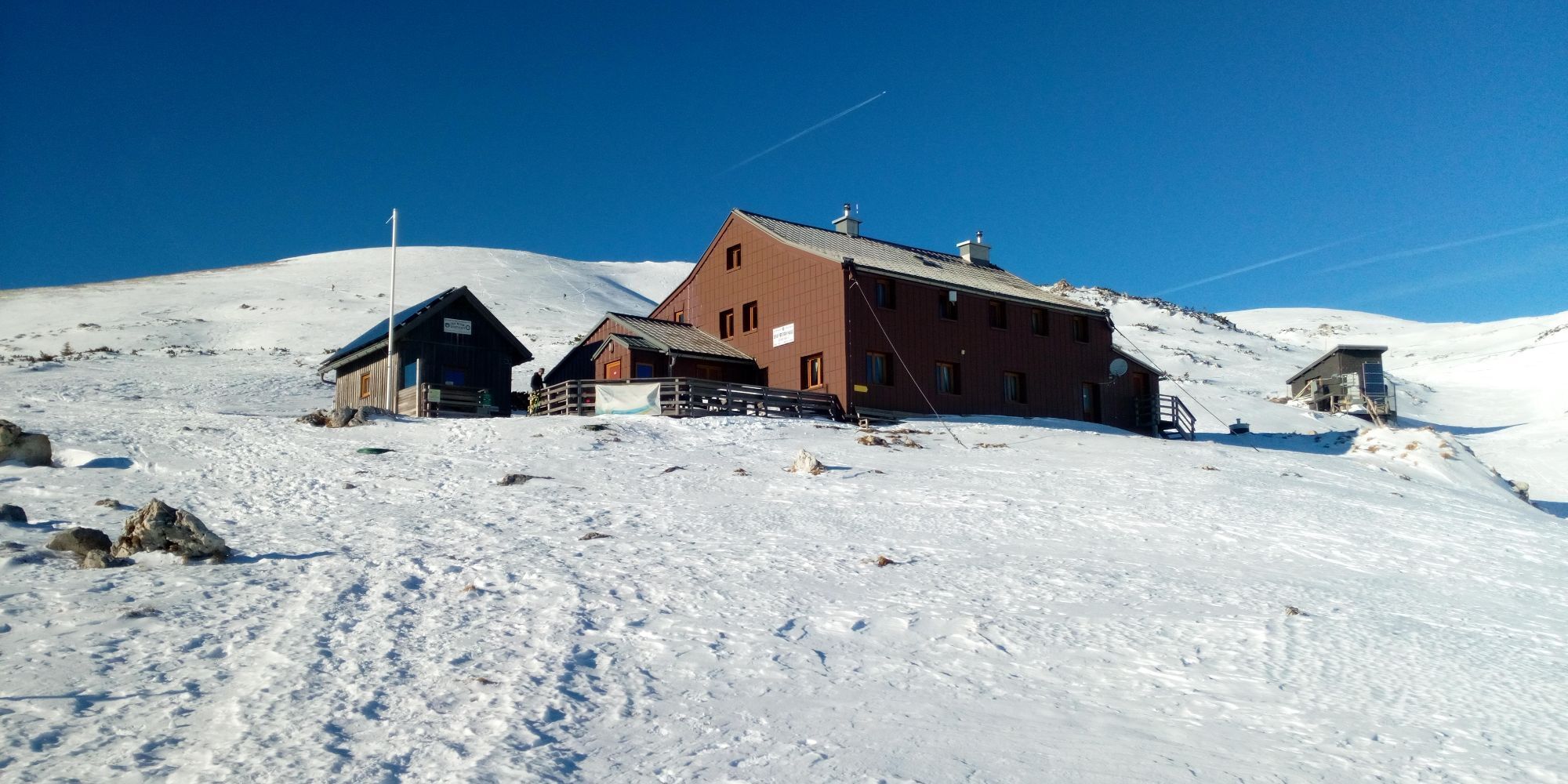
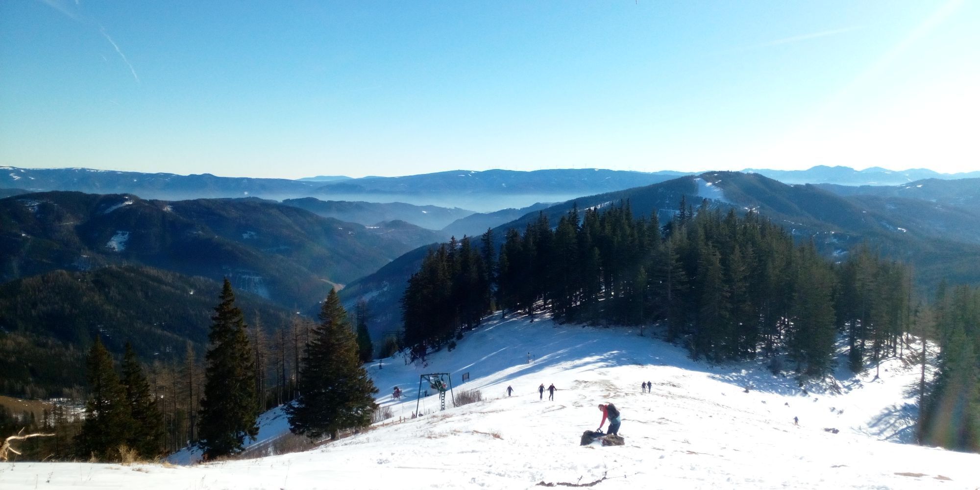
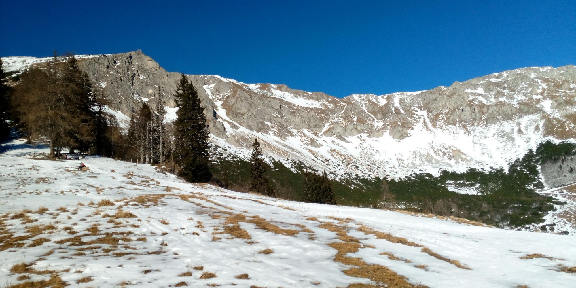
Photos from our users
-
 © Filip TesarčíkCreated on 03.05.2025
 -

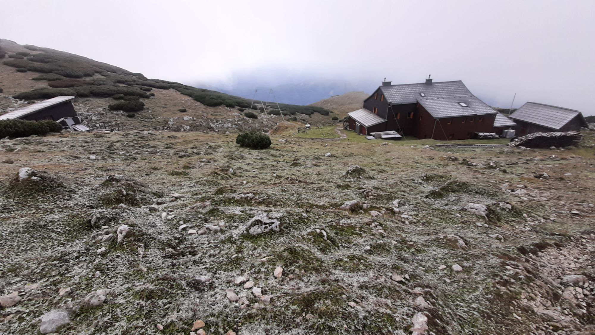
 © Stefan TäublCreated on 25.10.2025
 -
 © Stefan TäublCreated on 25.10.2025
 -
 © Stefan TäublCreated on 25.10.2025
 -
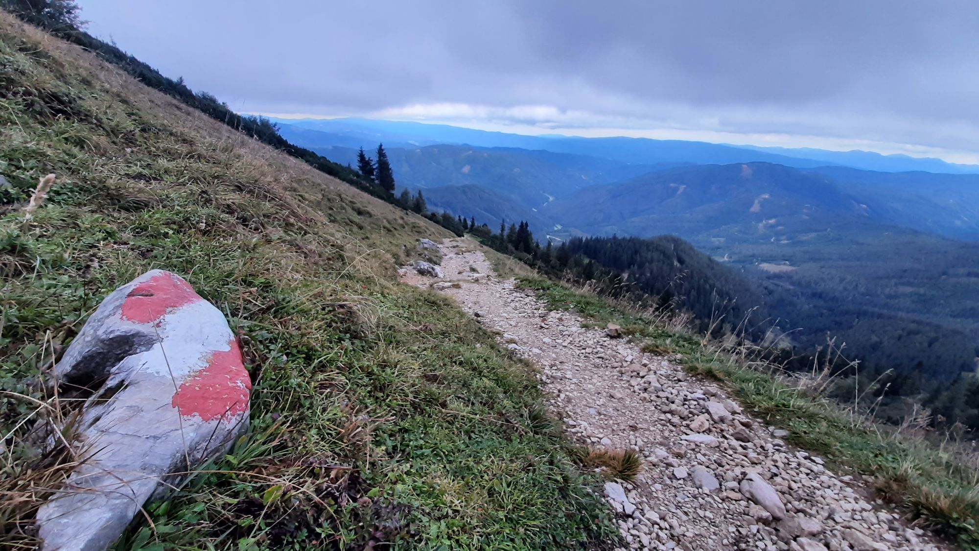
 © Nico MoitziCreated on 23.08.2025
 -
 © Nico MoitziCreated on 23.08.2025
 -
 © Joachim PapstCreated on 23.08.2025
 -
 © Joachim PapstCreated on 23.08.2025
 -

 © Carola KremsCreated on 13.08.2025
 -
 © Carola KremsCreated on 13.08.2025
 -
 © Carola KremsCreated on 13.08.2025
 -
 © AlkamCreated on 13.07.2025
 -
 © AlkamCreated on 13.07.2025
 -
 © AlkamCreated on 13.07.2025
 -
 © AlkamCreated on 13.07.2025
 -
 © AlkamCreated on 13.07.2025
 -
 © AlkamCreated on 13.07.2025
 -
 © AlkamCreated on 13.07.2025
 -

 © Siegried ZupancicCreated on 22.06.2025
 -
 © Siegried ZupancicCreated on 22.06.2025
 -
 © Klaus SchoderCreated on 21.06.2025
 -
 © Klaus SchoderCreated on 21.06.2025
 -
 © Klaus SchoderCreated on 21.06.2025
 -

 © Thomas Liebmann 1Created on 09.06.2025
 -
 © Markus ModerCreated on 13.05.2025
 -
 © Marcin 1Created on 18.01.2025
 -
 © Marcin 1Created on 18.01.2025
 -
 © Marcin 1Created on 18.01.2025
 -
 © Marcin 1Created on 18.01.2025
 -
 © Marcin 1Created on 18.01.2025
 -
 © Matthias NeurothCreated on 02.01.2025
 -

 © Aga MCreated on 17.09.2022
 -
 © Aga MCreated on 17.09.2022
 -

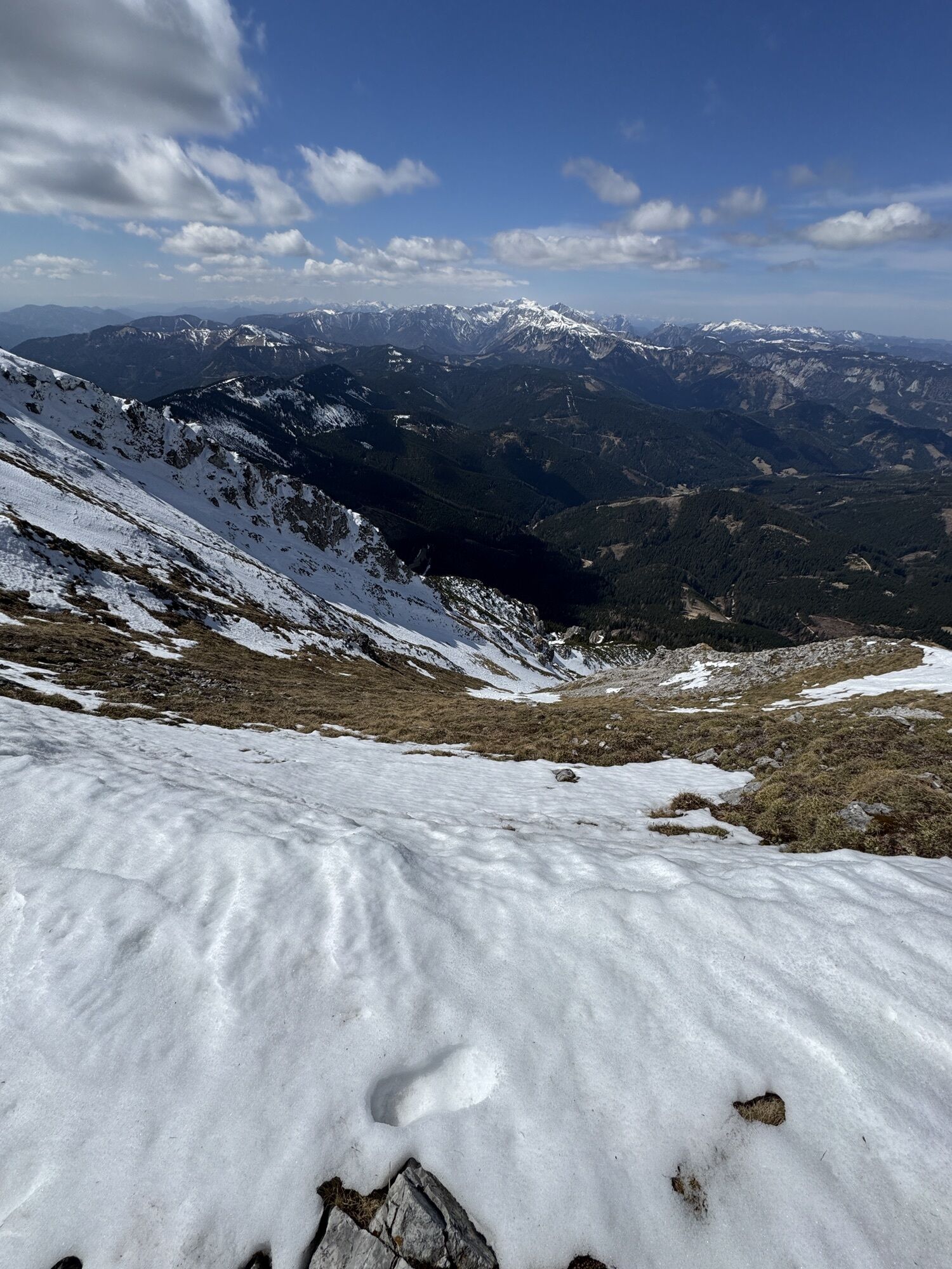
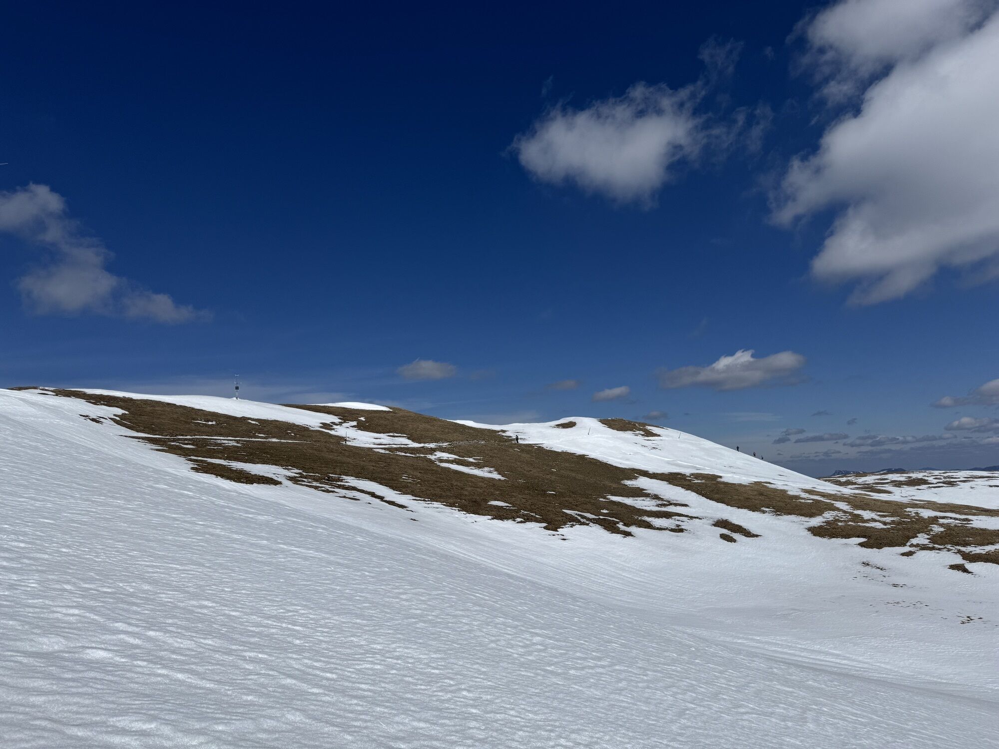
 © Ádám VargaCreated on 12.04.2025
 -
 © Ádám VargaCreated on 12.04.2025
 -
 © Ádám VargaCreated on 12.04.2025
 -
 © Ádám VargaCreated on 12.04.2025
 -
 © Ádám VargaCreated on 12.04.2025
 -
 © Ádám VargaCreated on 12.04.2025
 -
 © Ádám VargaCreated on 12.04.2025
 -
 © Aga MCreated on 24.05.2025
 -
 © Aga MCreated on 24.05.2025
 -
 © WuppiCreated on 09.02.2025
 -
 © WuppiCreated on 09.02.2025
 -
 © WuppiCreated on 09.02.2025
 -
 © WuppiCreated on 09.02.2025
 -
 © Jan kopeckýCreated on 02.01.2025
 -
 © Jan kopeckýCreated on 02.01.2025


No reviews yet
Popular tours in the neighbourhood
-
4.5
Panoramaweg Seebergalm - Hochanger
lightHiking 15.9 km -
5.0
Seewiesen - Voisthaler - Mitteralm
mediumHiking 17.6 km -
4.8
Falkensteiner Klettersteig
heavyVia ferrata 3.35 km -
4.4
Hohe Veitsch Rundwanderung
mediumHiking 13.7 km -
4.2
Seewiesen - Voisthalerhütte
mediumHiking 7.25 km -
4.9
Hochschwabgruppe - Feistringstein 1.836m - Überschreitung
mediumHiking 14.5 km -
4.5
Tonion-Rundtour
mediumHiking 14.7 km -
4.7
Hohe Veitsch - Brunnalm, Steiermark/Österreich
lightHiking 8.07 km -
3.6
Auf den Gipfel der Hohen Veitsch
mediumHiking 6.79 km -
4.4
Hochanger, Aufstieg über Kalkögerl, Abstieg über Göriacher Alm
lightHiking 9.32 km
Hiking & Tracking

Over 550.000 tour suggestions, detailed maps and an intuitive route planner make the app a must-have for all nature enthusiasts.

Don't miss out on offers and inspiration for your next holiday
Subscribe to the newsletter
Error
An error has occurred. Please try again.
Thank you for your registration
Your e-mail address has been added to the mailing list.
Tours throughout Europe
Austria
Switzerland
Germany
Italy
Slovenia
France
Netherlands
Belgium
Poland
Liechtenstein
Czechia
Slovakia
Spain
Croatia
Bosnia and Herzegovina
Luxembourg
Andorra
Portugal
Iceland
United Kingdom
Ireland
Greece
Albania
North Macedonia
Malta
Norway
Montenegro
Moldova
Kosovo
Hungary
San Marino
Romania
Estonia
Latvia
Belarus
Cyprus
Lithuania
Serbia
Bulgaria
Monaco
Denmark
Sweden
Finland