Tag 2 (mot T4)
Hiking
Navigate
Navigate
Get this tour on your mobile
Tag 2 (mot T4)
Hiking
10.72
km
Scan the QR code and start navigation in the bergfex app

Hiking & Tracking


Distance
10.72
km
Duration
06:16
h
Ascent
1,012
m
Sea level
1,559 -
2,248
m
Track download
Tag 2 (mot T4)
Hiking
10.72
km


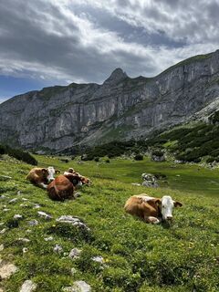
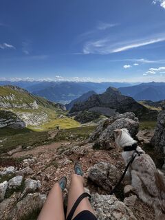
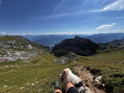
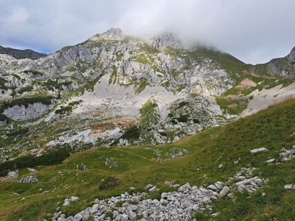
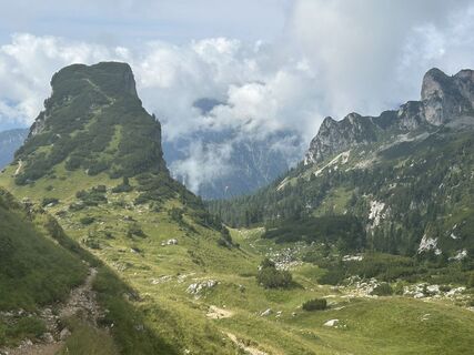
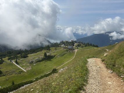
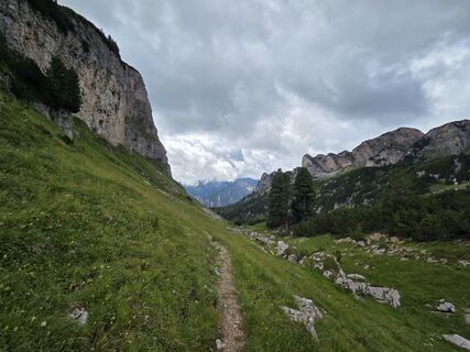
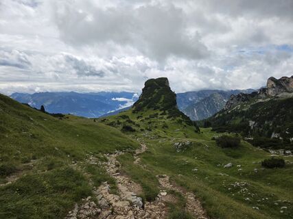
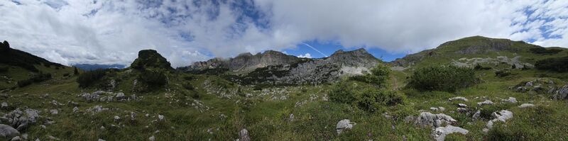
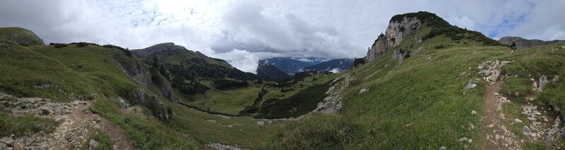
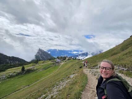
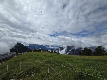
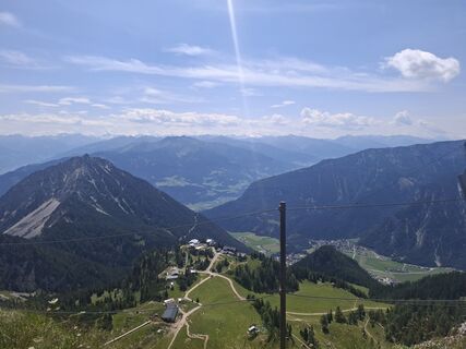
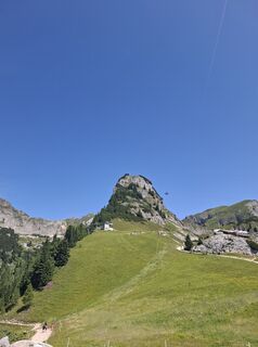
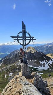
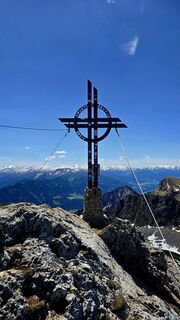
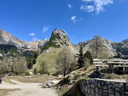
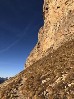
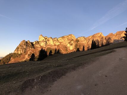
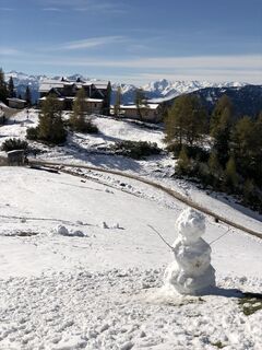
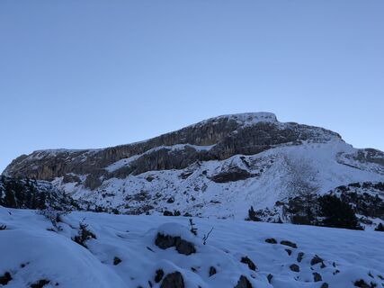
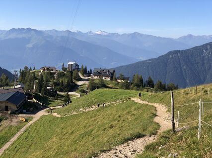
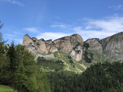
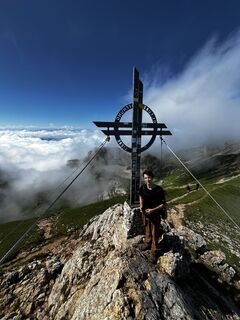
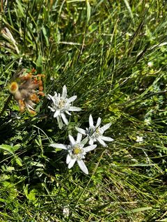
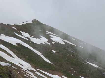
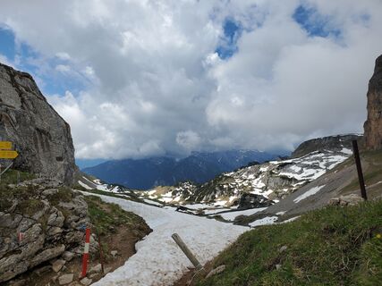
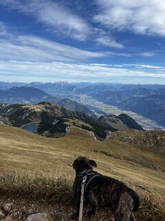
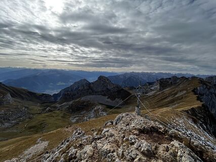
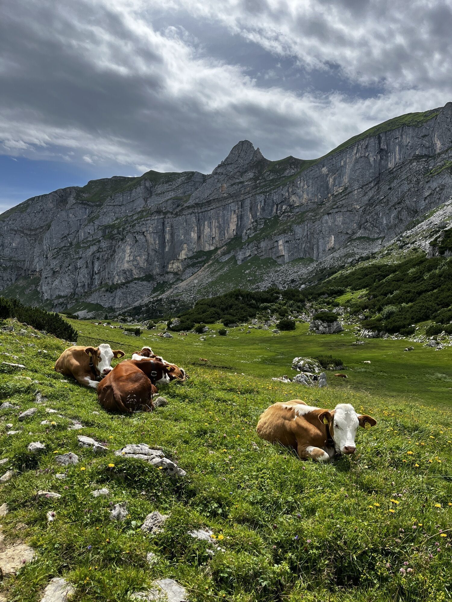
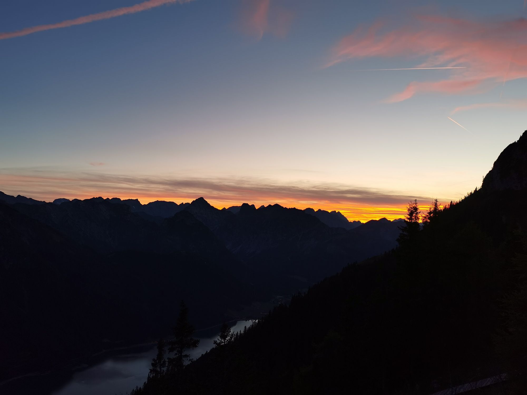
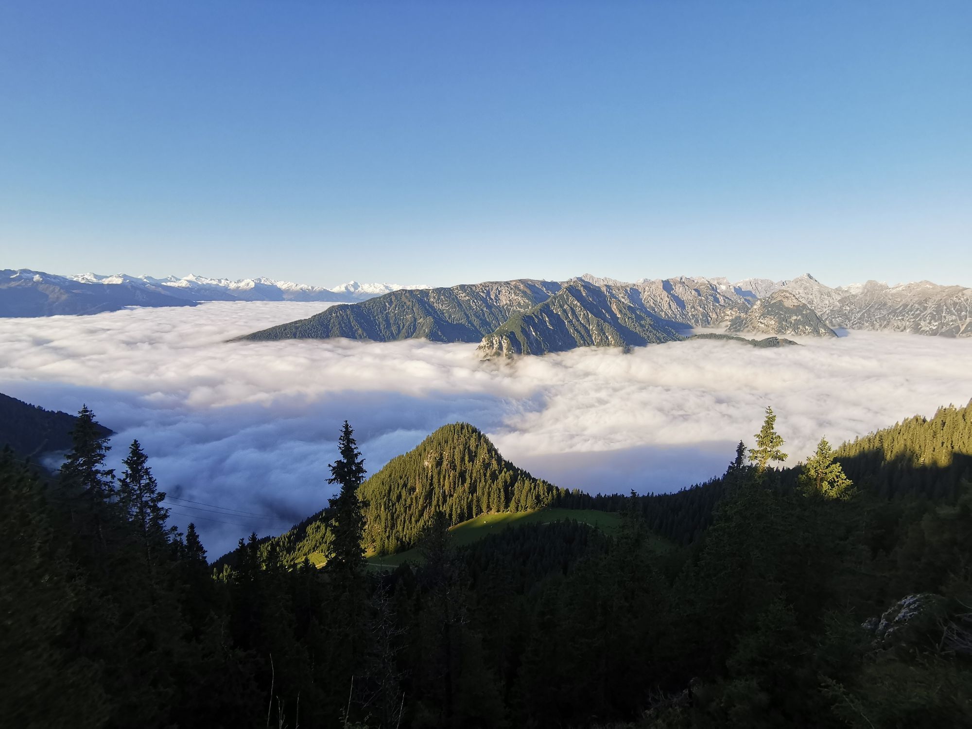
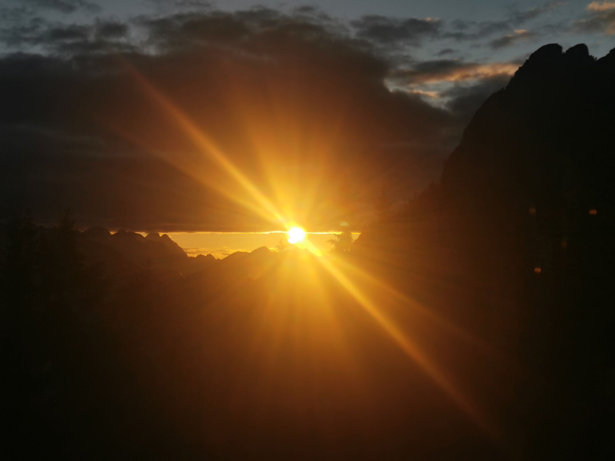
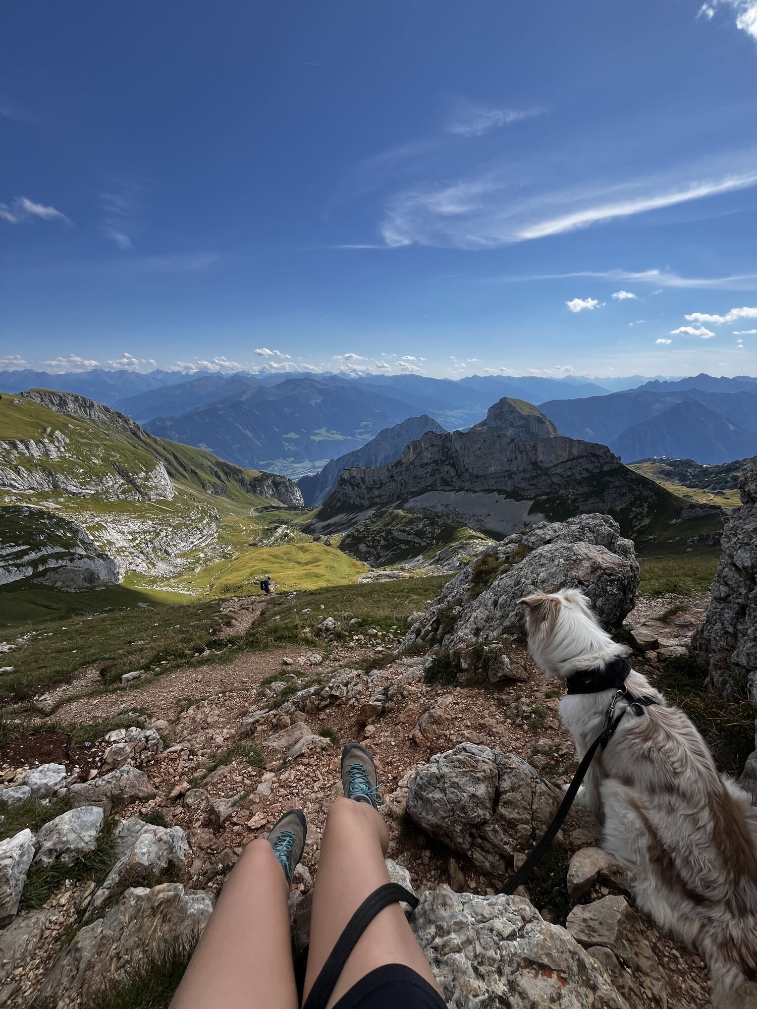
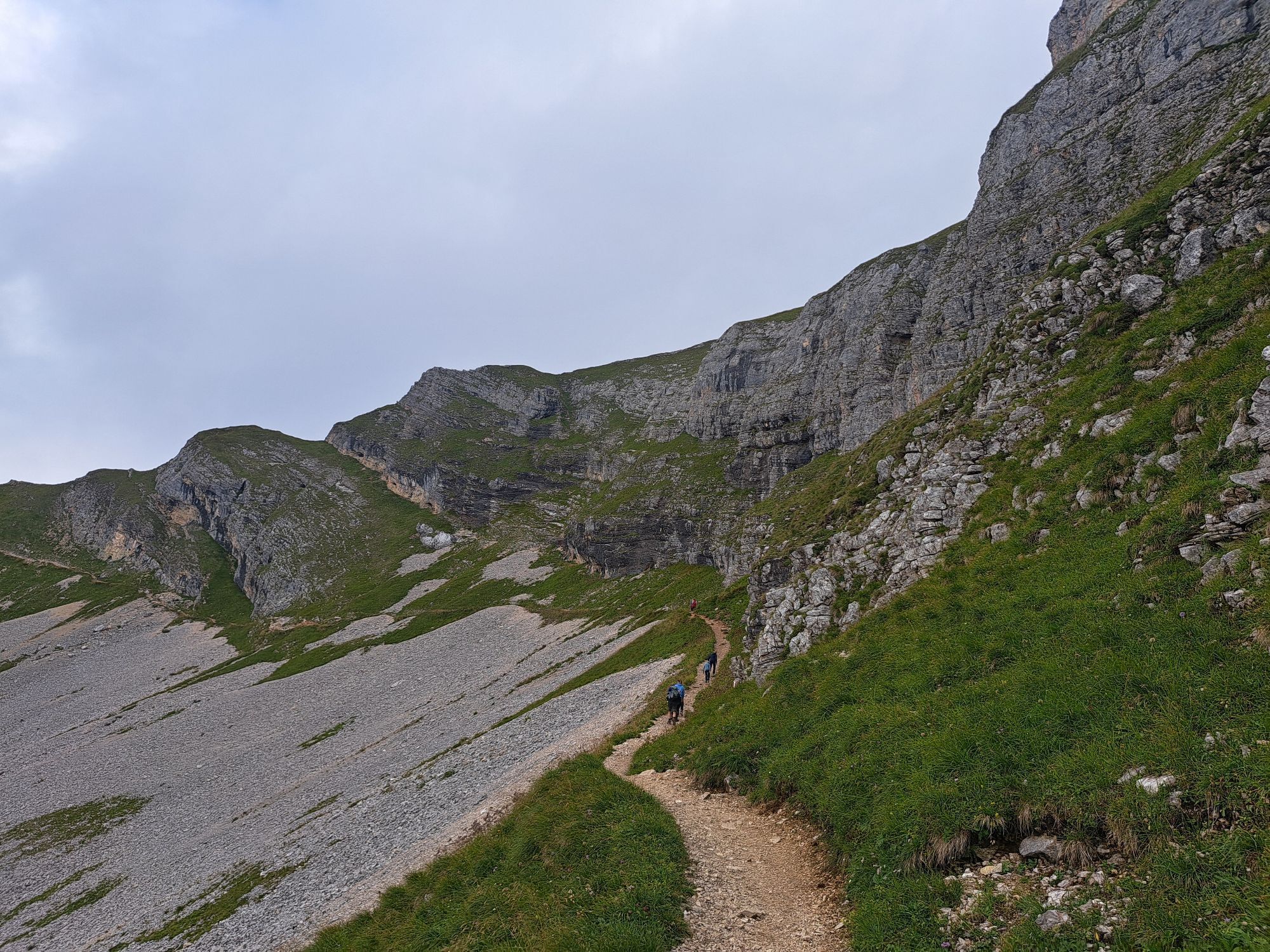
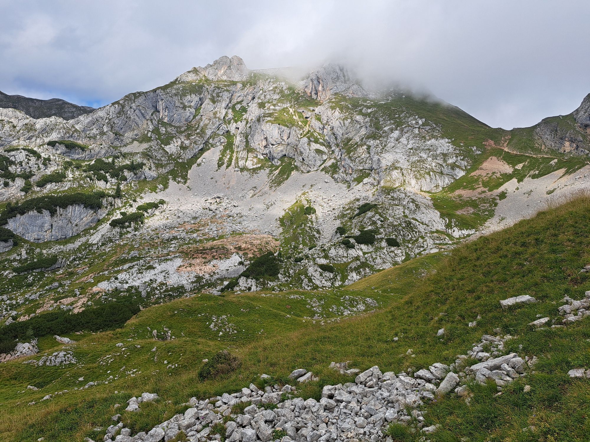
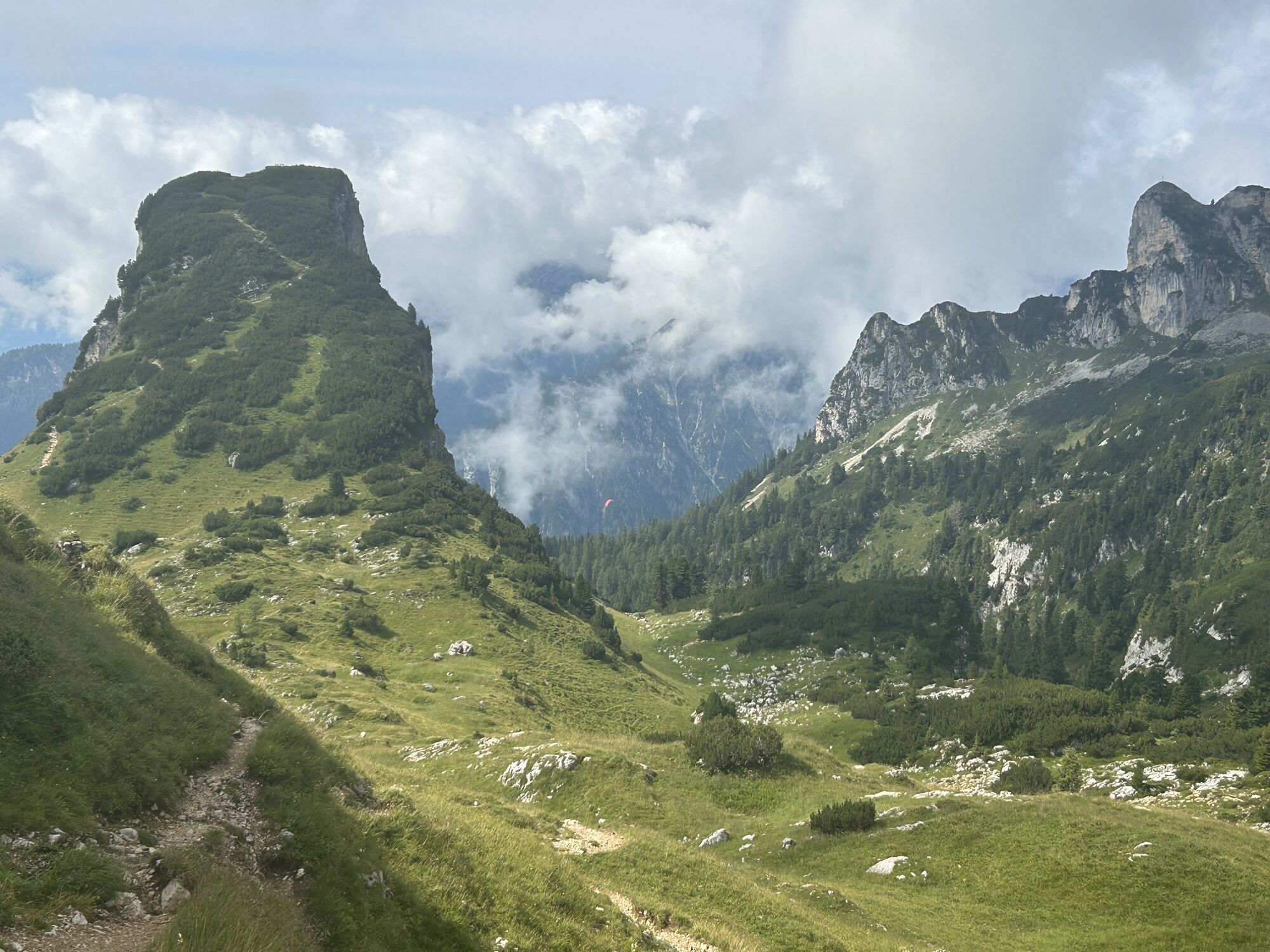
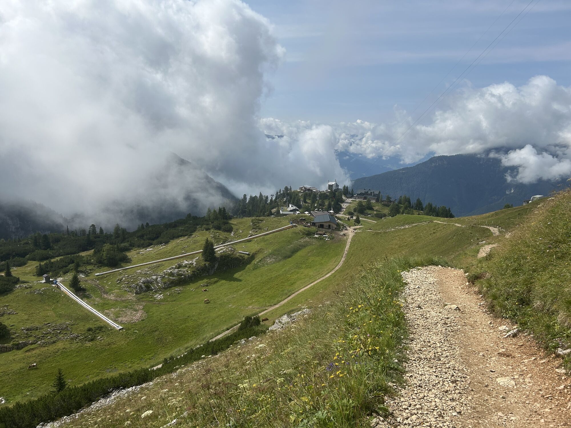
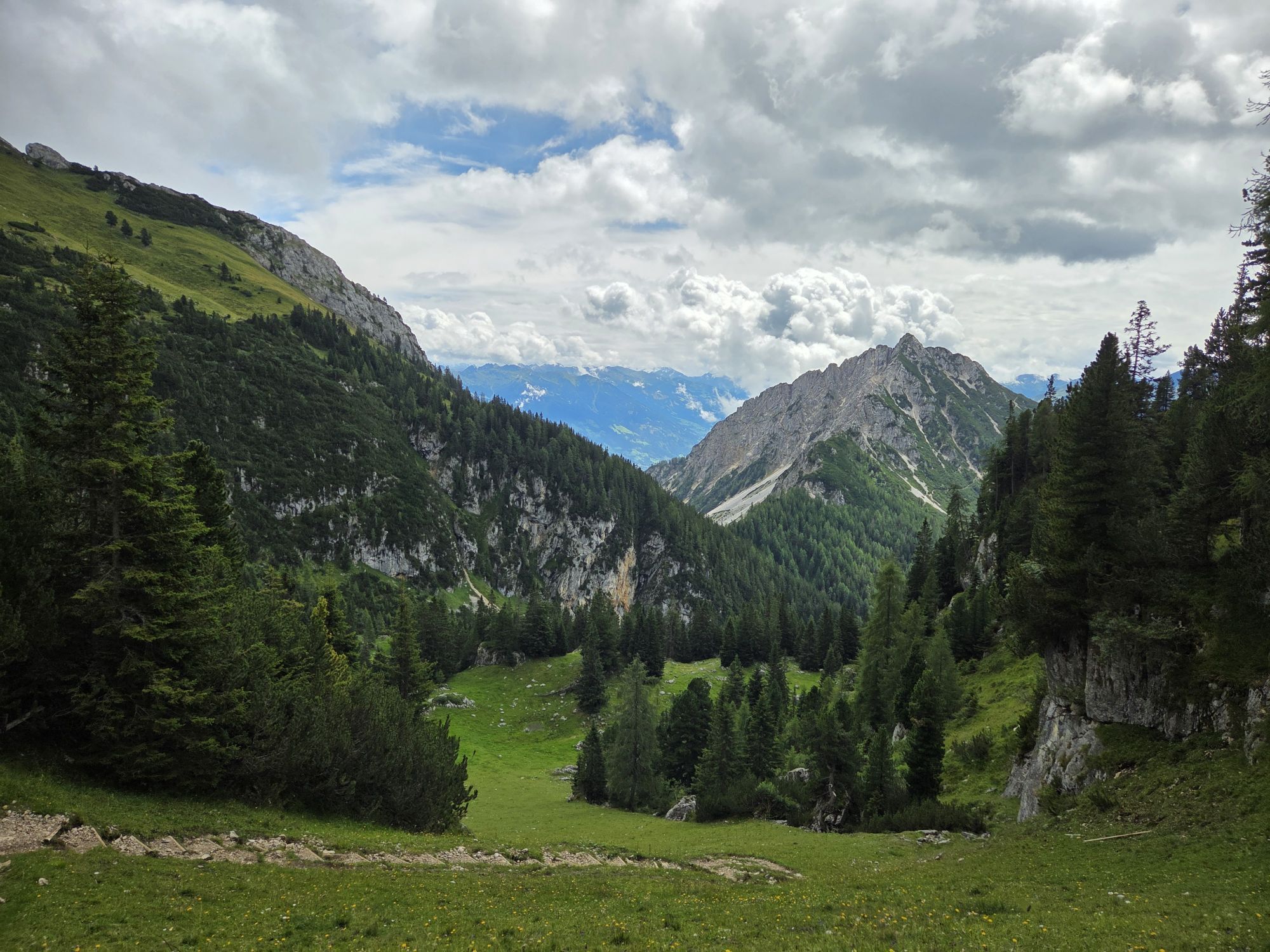
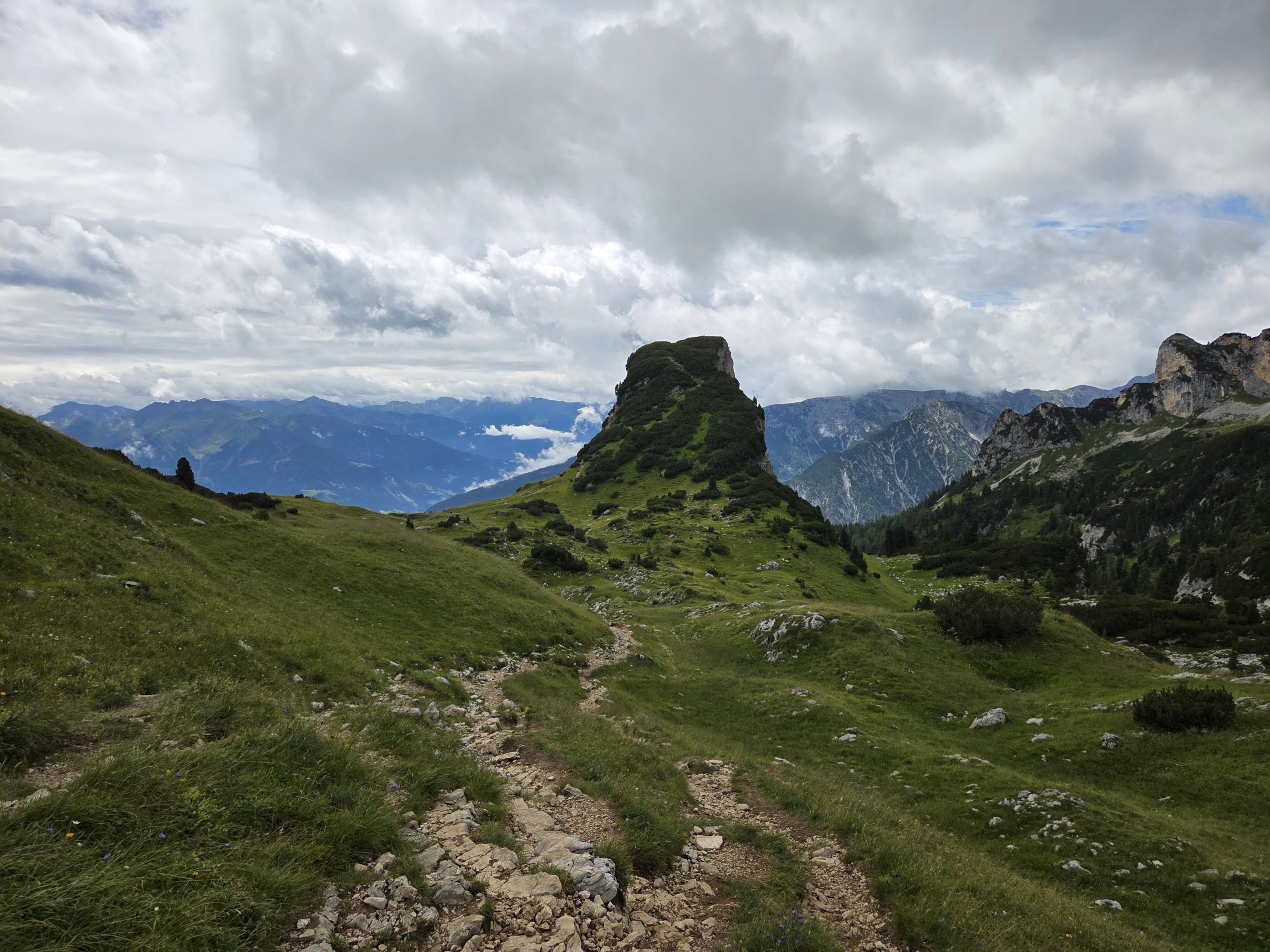
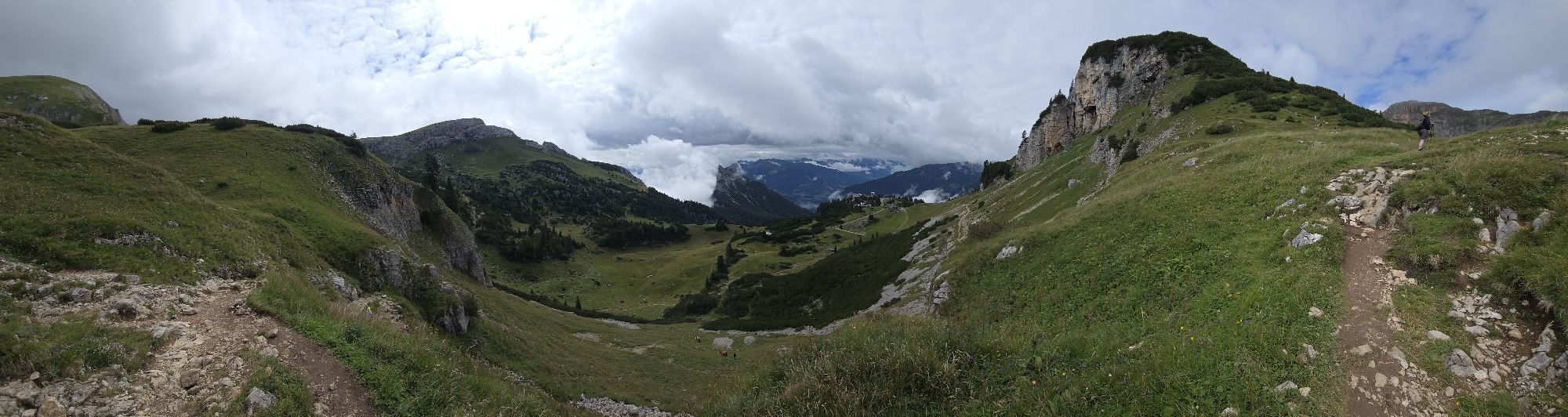
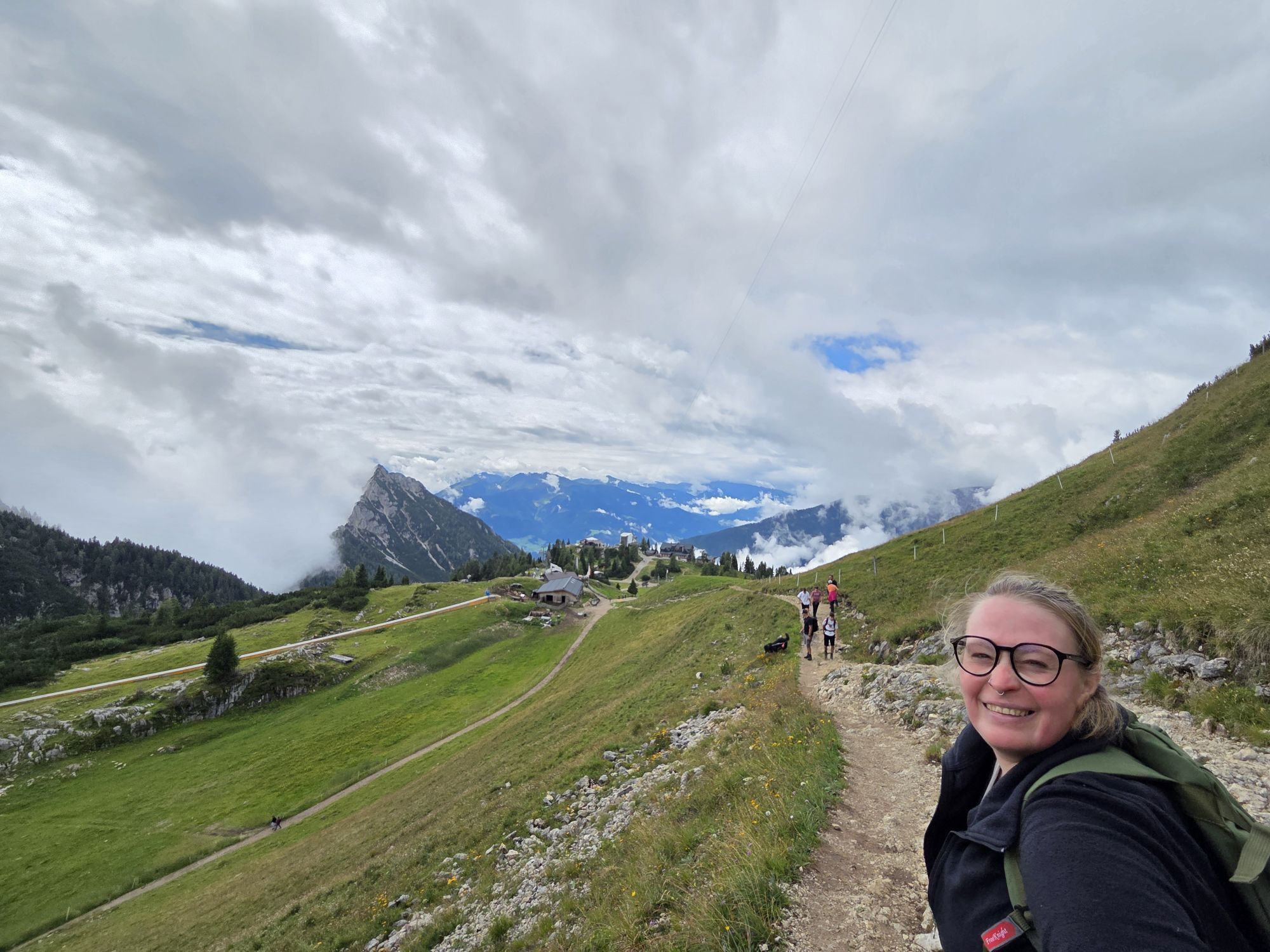
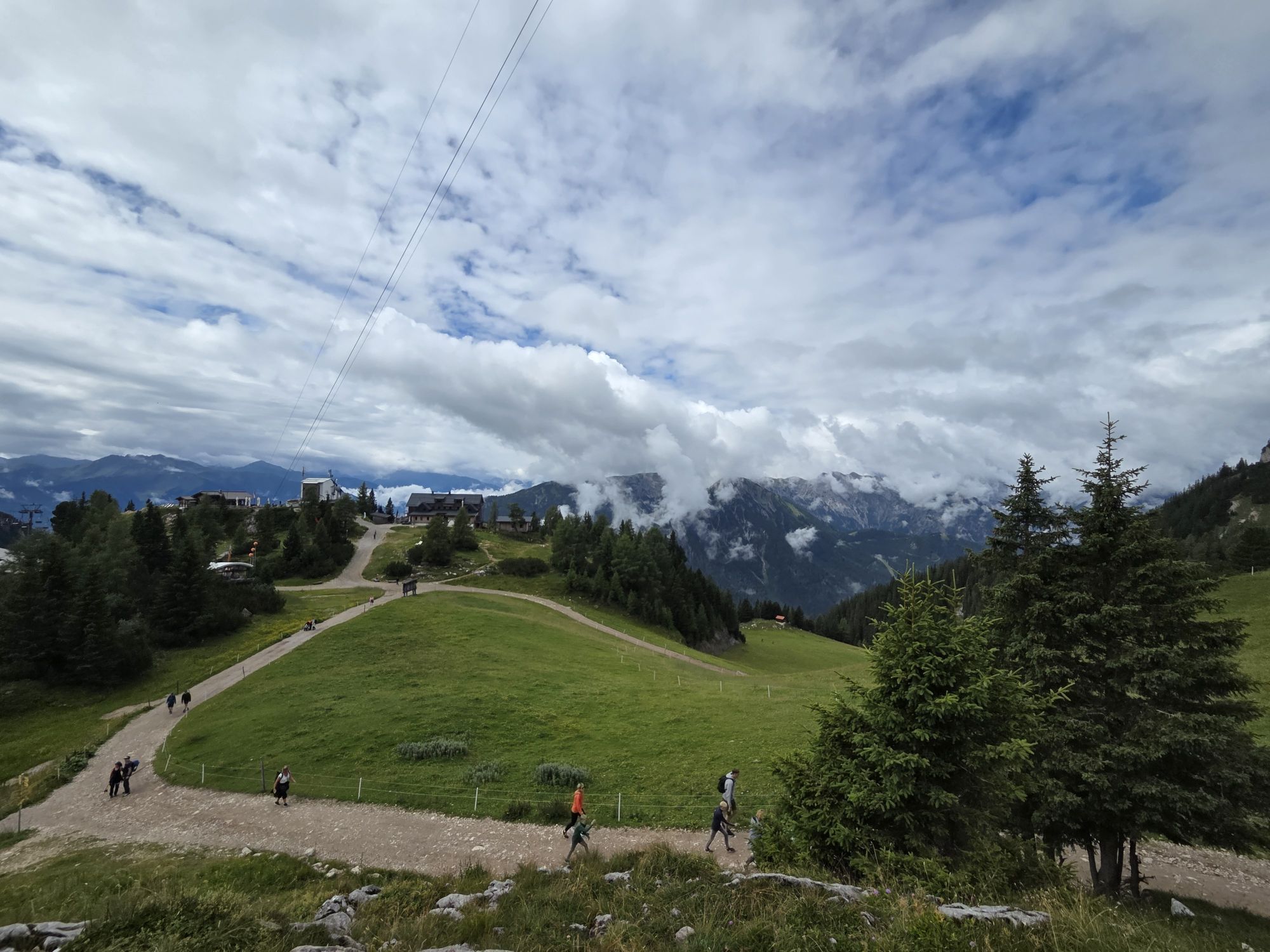
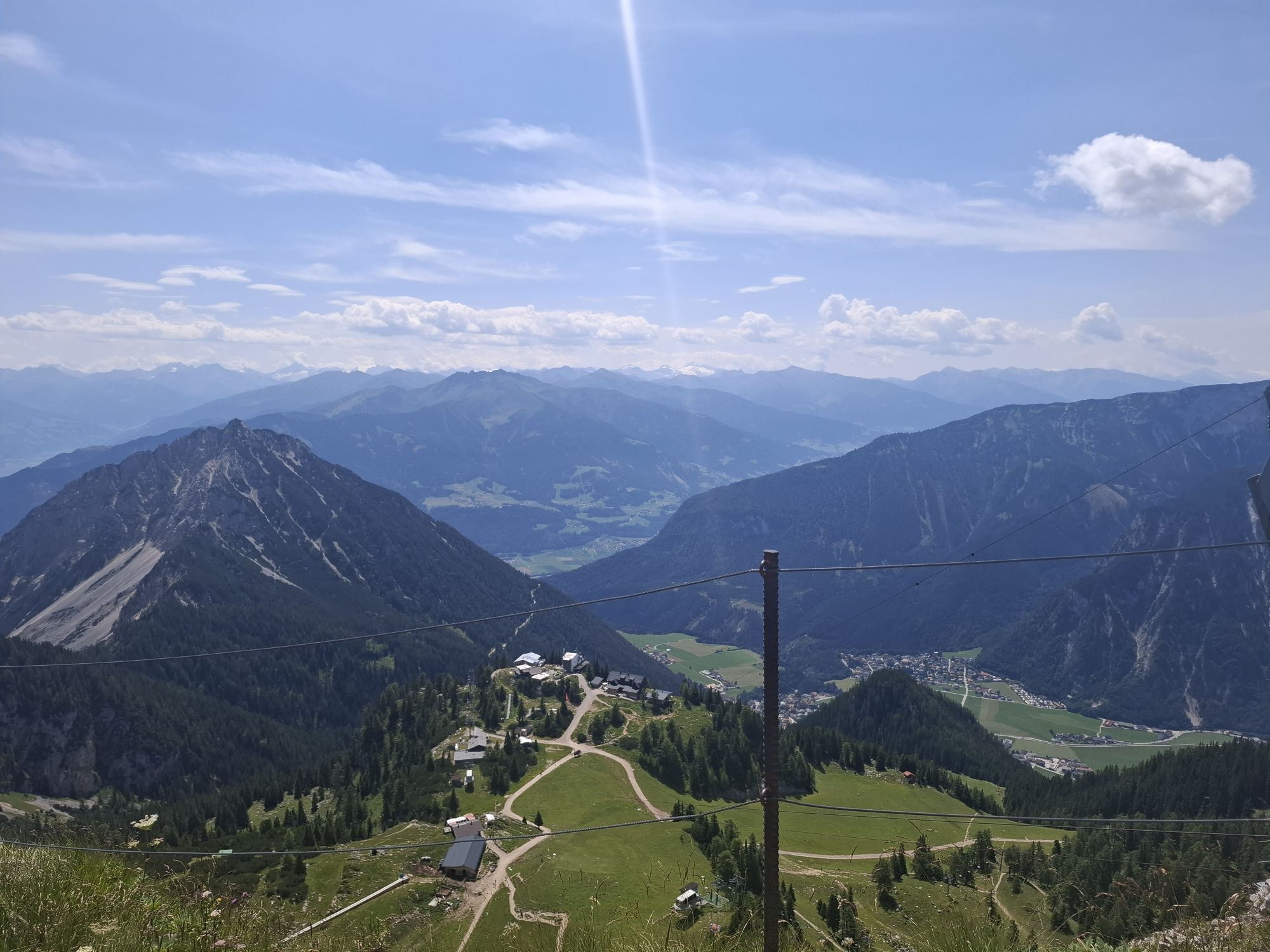
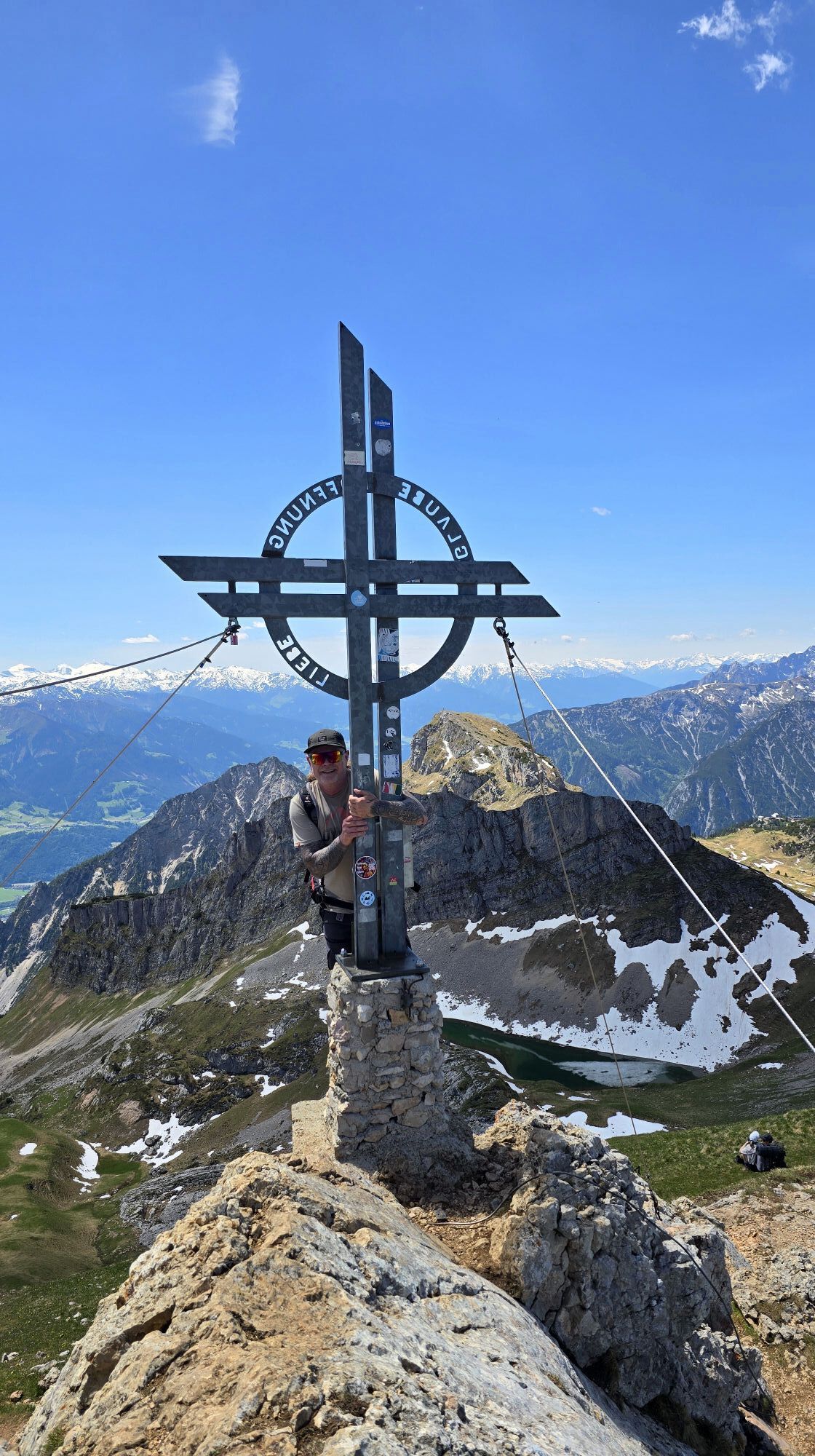
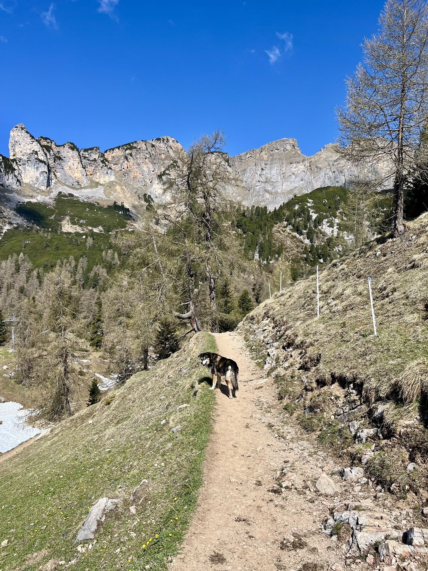
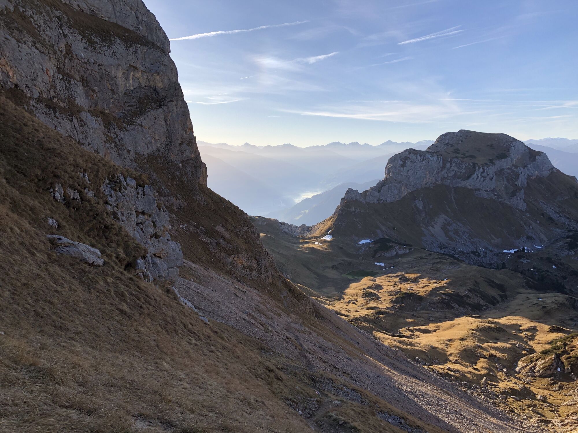
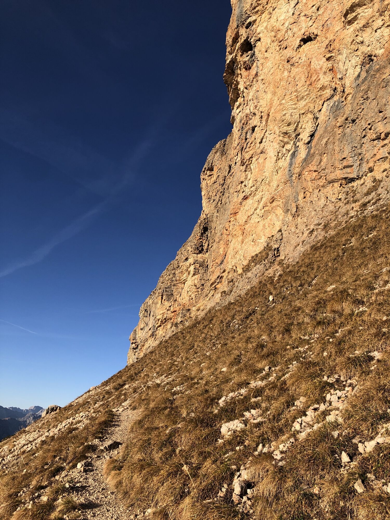
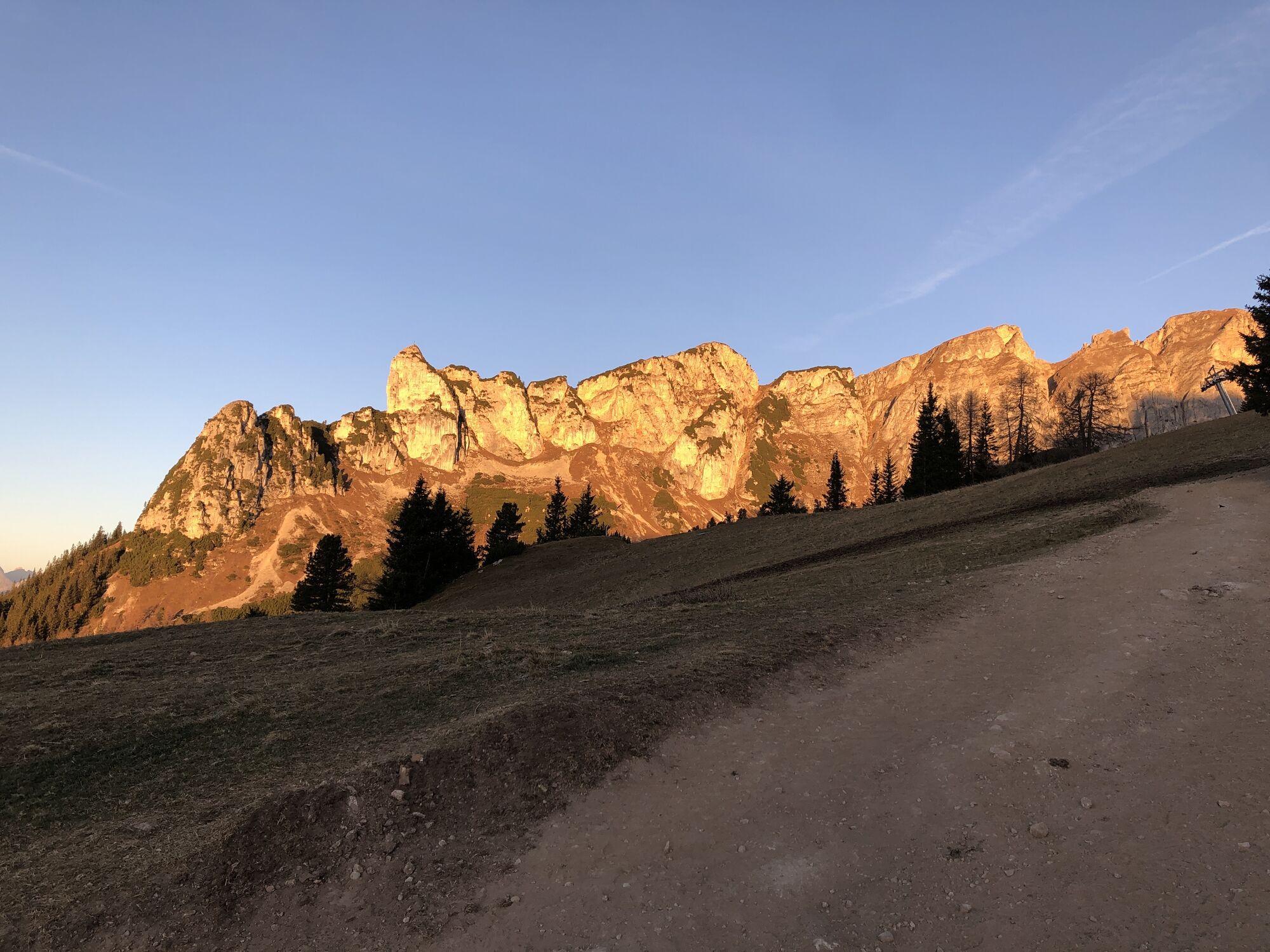
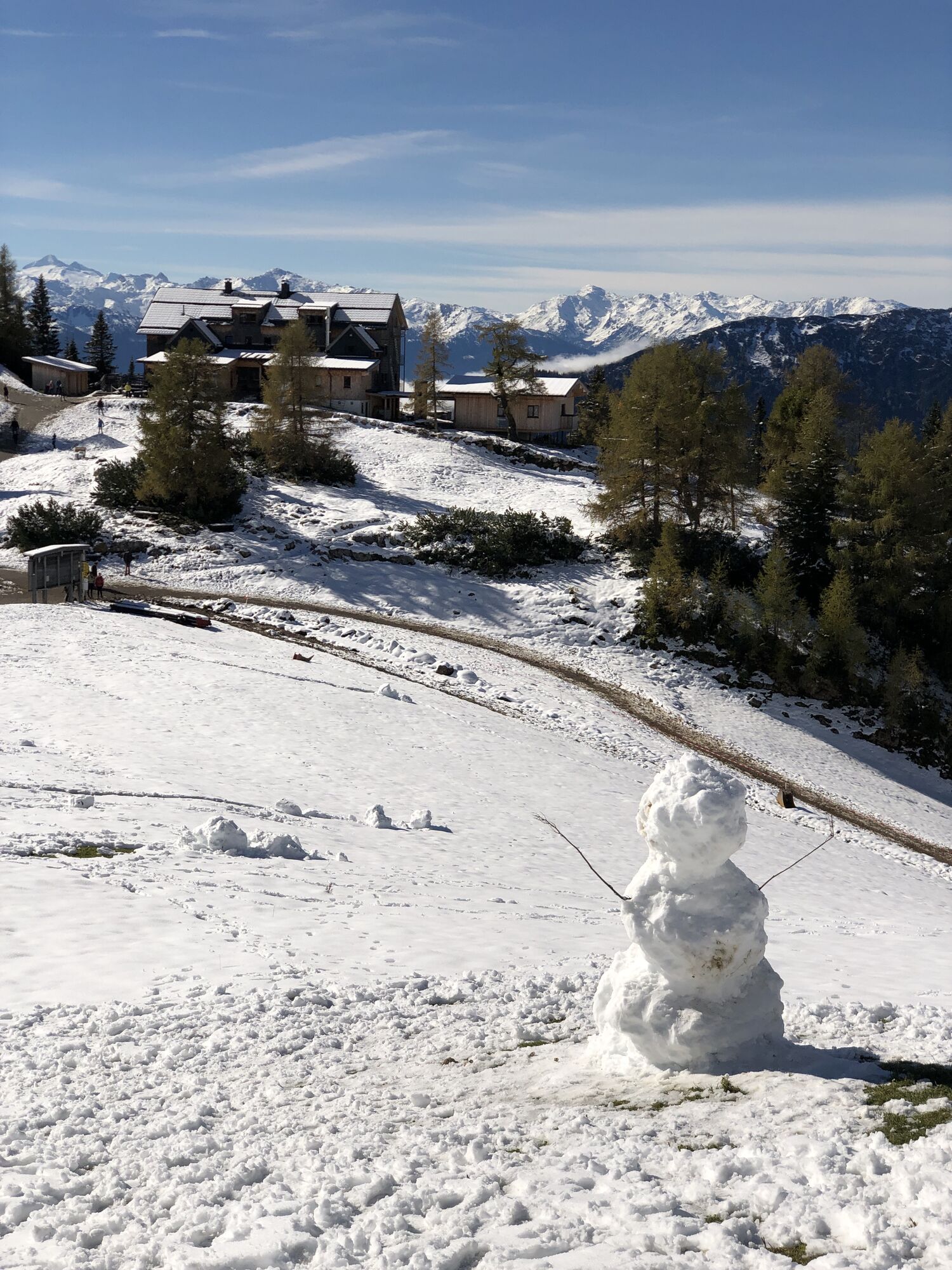
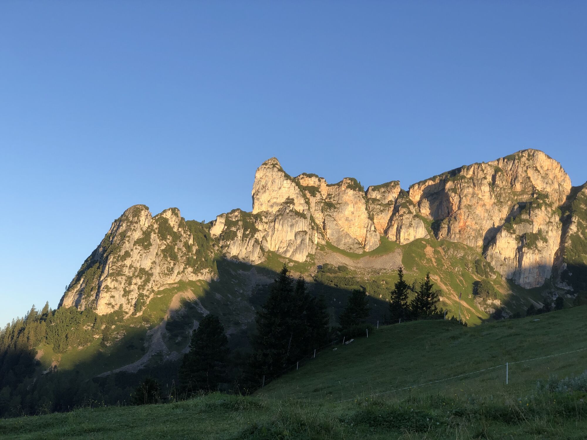
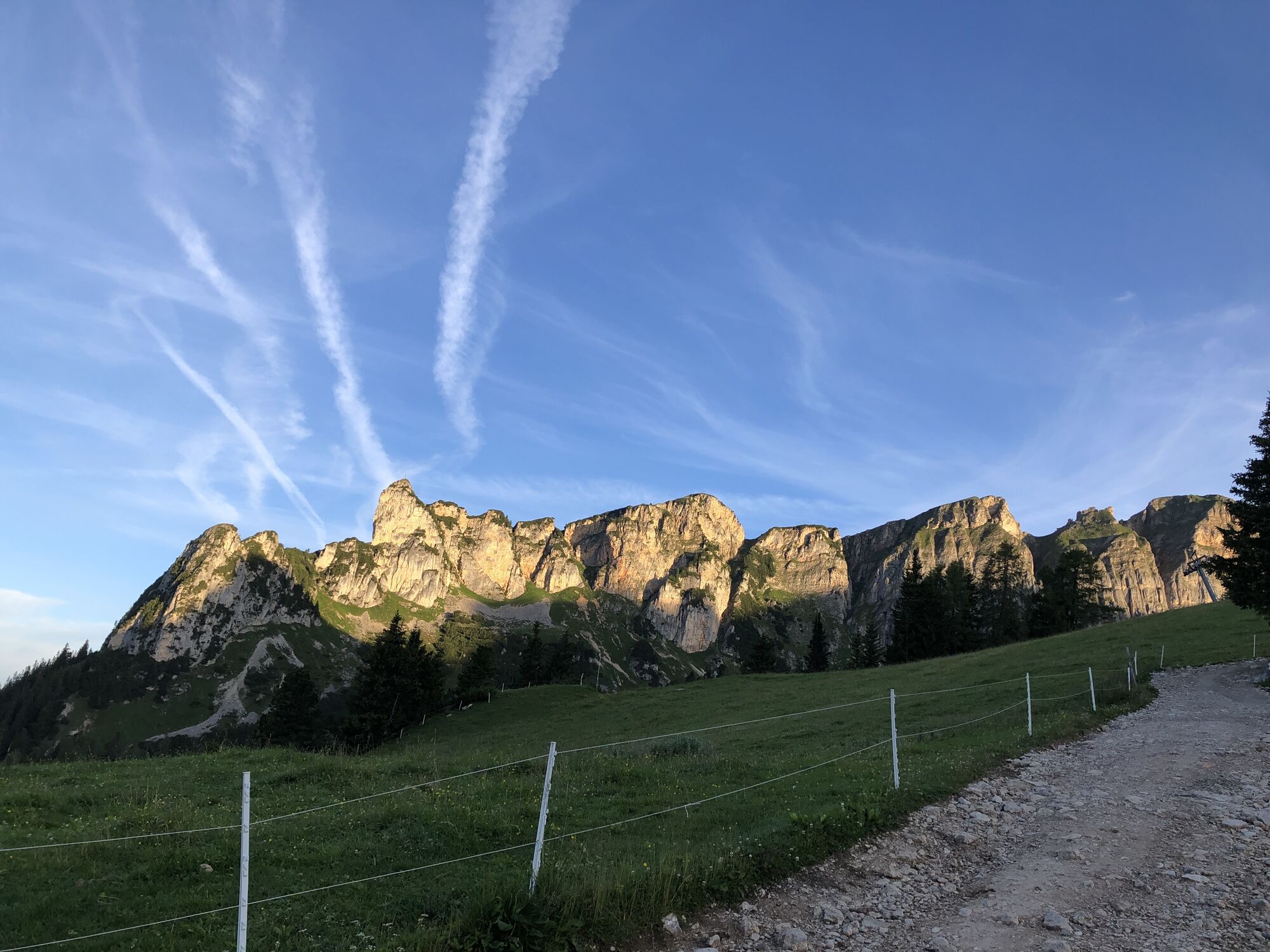
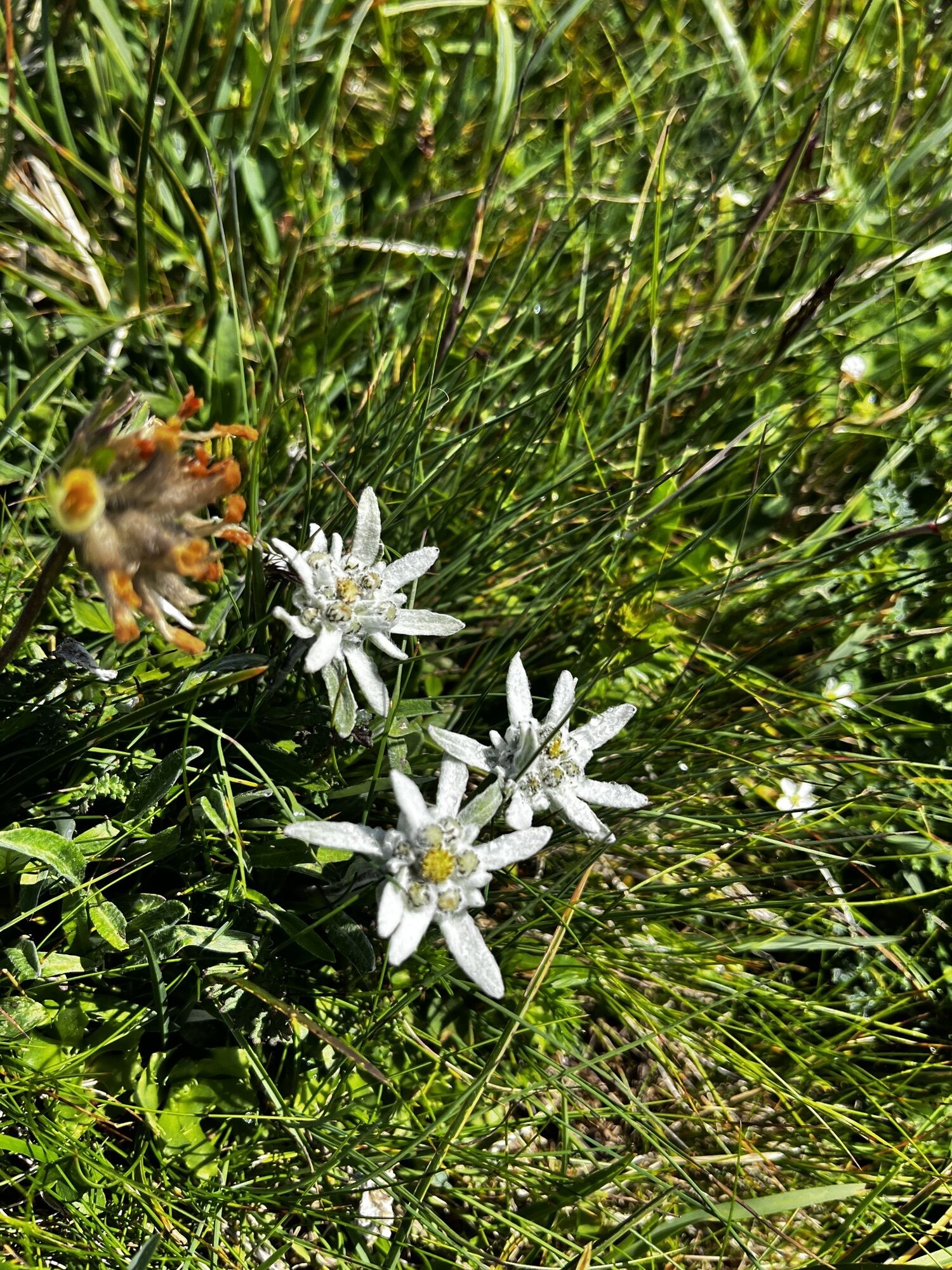
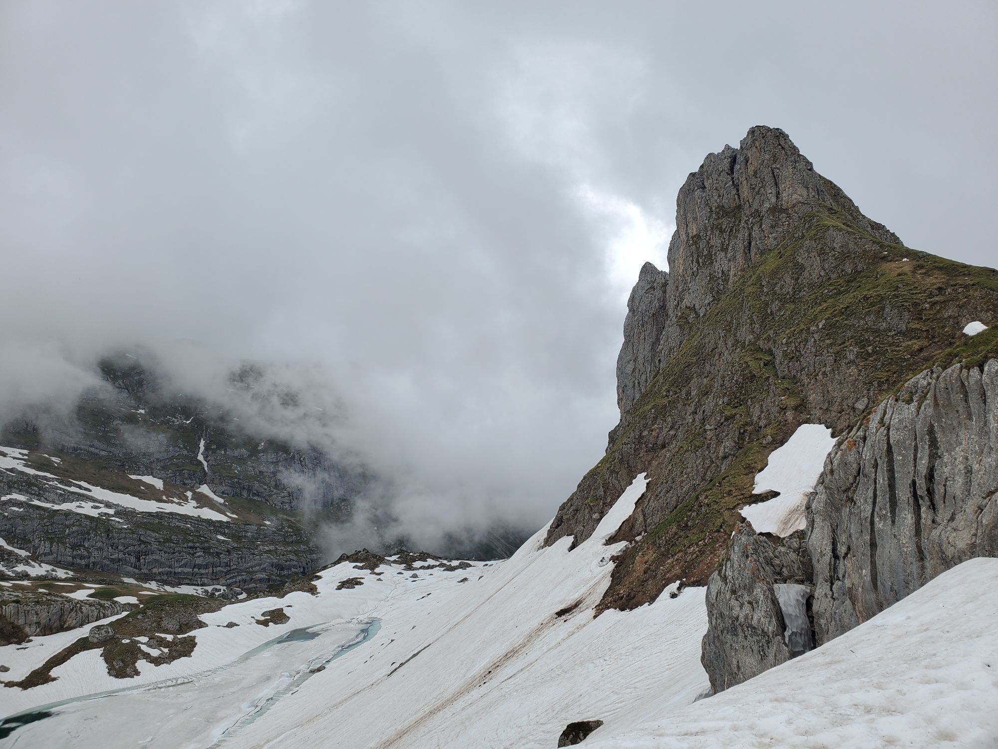
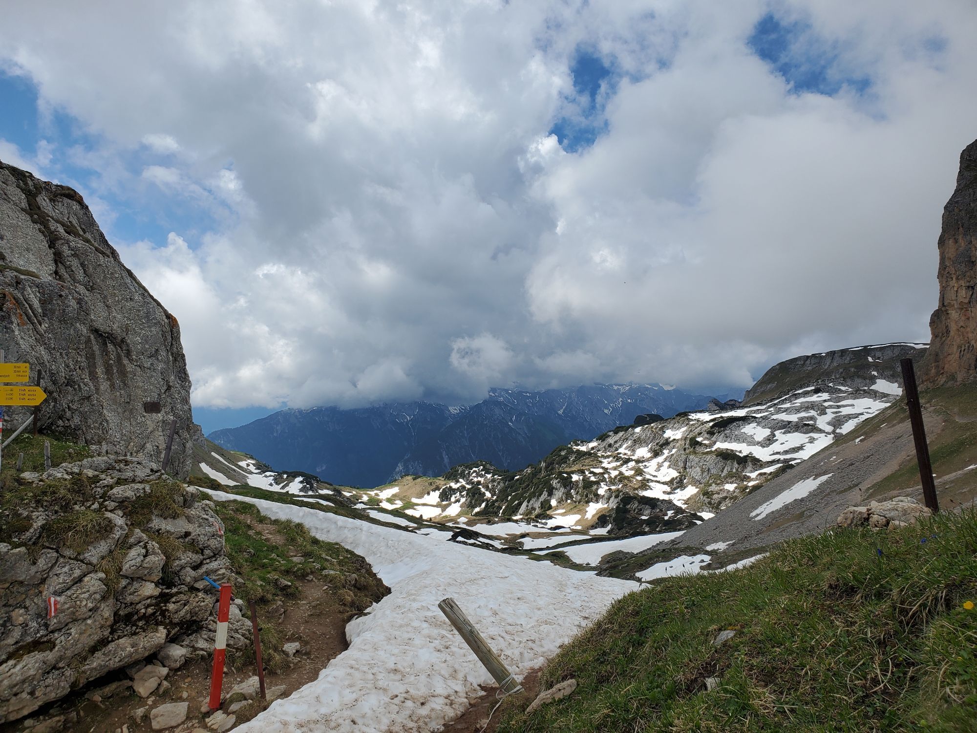
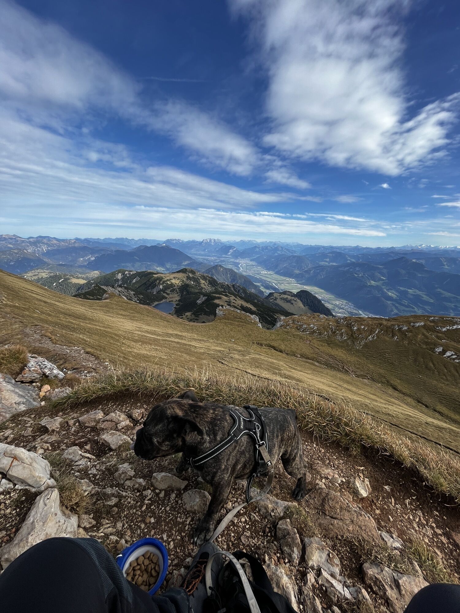
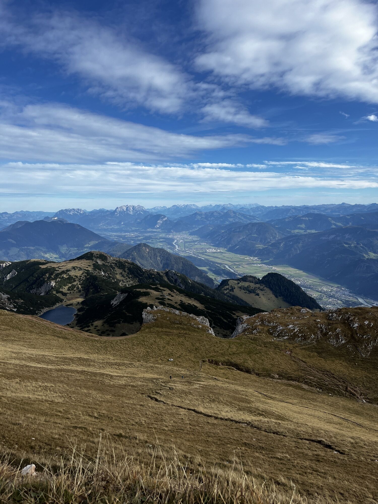
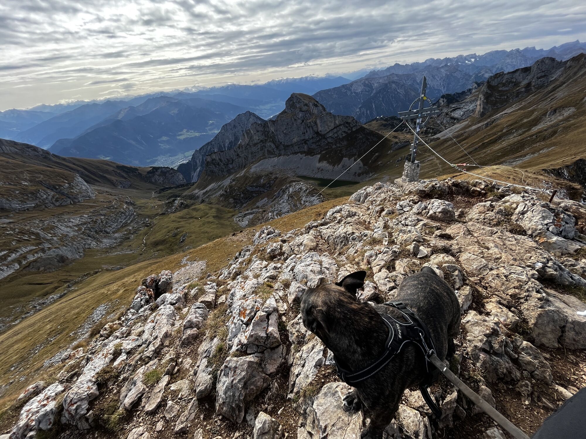
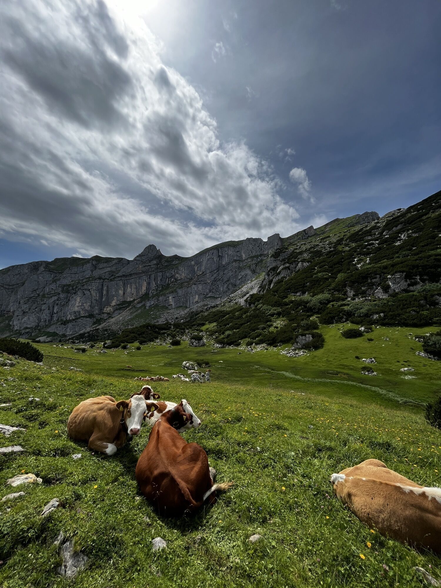
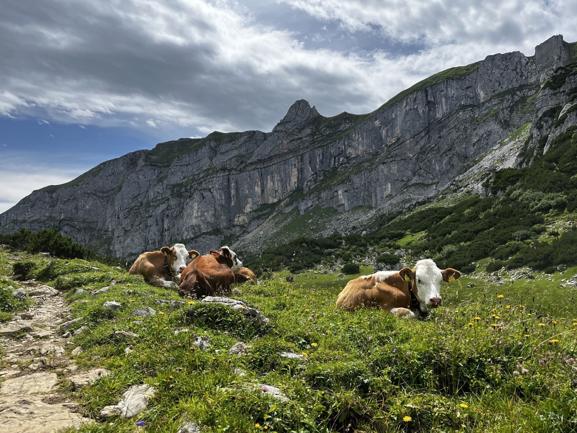
Photos from our users
-
 © Philipp Eberharter 1Created on 24.07.2023
 -

 © Mario KunzeCreated on 06.09.2025
 -
 © Mario KunzeCreated on 06.09.2025
 -
 © Mario KunzeCreated on 05.09.2025
 -
 © Rebeka Bogár 1Created on 26.08.2025
 -
 © Rebeka Bogár 1Created on 26.08.2025
 -
 © Ljubow ObidinaCreated on 24.08.2025
 -
 © Ljubow ObidinaCreated on 24.08.2025
 -
 © Andreas MülletCreated on 06.08.2025
 -
 © Andreas MülletCreated on 06.08.2025
 -

 © Raimund BürgmannCreated on 31.07.2025
 -
 © Raimund BürgmannCreated on 31.07.2025
 -
 © Raimund BürgmannCreated on 31.07.2025
 -
 © Raimund BürgmannCreated on 31.07.2025
 -
 © Raimund BürgmannCreated on 31.07.2025
 -
 © Raimund BürgmannCreated on 31.07.2025
 -
 © Raimund BürgmannCreated on 31.07.2025
 -
 © Raimund BürgmannCreated on 31.07.2025
 -
 © Raimund BürgmannCreated on 31.07.2025
 -
 © Raimund BürgmannCreated on 31.07.2025
 -
 © Thorben WeitCreated on 19.07.2025
 -
 © Thorben WeitCreated on 19.07.2025
 -
 © se_muckCreated on 31.05.2025
 -
 © se_muckCreated on 31.05.2025
 -

 © Veronika SchulteCreated on 01.05.2025
 -
 © Veronika SchulteCreated on 01.05.2025
 -

 © Robert Hofbauer 1Created on 10.11.2024
 -
 © Robert Hofbauer 1Created on 10.11.2024
 -
 © Robert Hofbauer 1Created on 10.11.2024
 -
 © Robert Hofbauer 1Created on 06.10.2024
 -
 © Robert Hofbauer 1Created on 06.10.2024
 -
 © Robert Hofbauer 1Created on 11.08.2024
 -
 © Robert Hofbauer 1Created on 11.08.2024
 -
 © Robert Hofbauer 1Created on 02.08.2024
 -
 © Robert Hofbauer 1Created on 26.07.2024
 -
 © Robert Hofbauer 1Created on 26.07.2024
 -
 © Mathias Schmid 2Created on 14.07.2024
 -
 © Mathias Schmid 2Created on 14.07.2024
 -

 © Susann BraunCreated on 05.06.2024
 -
 © Susann BraunCreated on 05.06.2024
 -
 © Susann BraunCreated on 05.06.2024
 -
 © Philipp Eberharter 1Created on 23.10.2023
 -
 © Philipp Eberharter 1Created on 23.10.2023
 -
 © Philipp Eberharter 1Created on 23.10.2023
 -
 © Philipp Eberharter 1Created on 23.10.2023
 -
 © Philipp Eberharter 1Created on 23.10.2023
 -
 © Philipp Eberharter 1Created on 24.07.2023
 -
 © Philipp Eberharter 1Created on 24.07.2023


No reviews yet
Popular tours in the neighbourhood
-
4.5
Achensee-Umrundung
mediumHiking 23.3 km -
4.5
Wandern zum Bärenkopf
mediumHiking 10.9 km -
4.6
Uferweg von Pertisau zur Gaissalm am Achensee, Österreich
mediumHiking 5.16 km -
4.6
Gütenberg und Feilkopf
lightHiking 10.4 km -
4.5
Wolfsklamm über Maria Tax
mediumHiking 5.50 km -
4.8
Bergstation Rofan Seilbahn - Dalfaz Alm - Bergstation Rofan Seilbahn
lightHiking 4.94 km -
4.9
Achensee - Erfurter Hütte
mediumHiking 9.24 km -
4.8
Hochiss und Gschöllkopf mit Rofanbahn
mediumHiking 6.40 km -
4.4
Den Panoramaweg um das Wiedersbergerhorn
Hiking 3.40 km -
3.4
Wolfsklamm-Stans
mediumHiking 2.66 km

Hiking & Tracking

Over 550.000 tour suggestions, detailed maps and an intuitive route planner make the app a must-have for all nature enthusiasts.

Don't miss out on offers and inspiration for your next holiday
Subscribe to the newsletter
Error
An error has occurred. Please try again.
Thank you for your registration
Your e-mail address has been added to the mailing list.
Tours throughout Europe
Austria
Switzerland
Germany
Italy
Slovenia
France
Netherlands
Belgium
Poland
Liechtenstein
Czechia
Slovakia
Spain
Croatia
Bosnia and Herzegovina
Luxembourg
Andorra
Portugal
Iceland
United Kingdom
Ireland
Greece
Albania
North Macedonia
Malta
Norway
Montenegro
Moldova
Kosovo
Hungary
San Marino
Romania
Estonia
Latvia
Belarus
Cyprus
Lithuania
Serbia
Bulgaria
Monaco
Denmark
Sweden
Finland