Iseler
Hiking
Navigate
Navigate
Get this tour on your mobile
Iseler
Hiking
12.18
km
Scan the QR code and start navigation in the bergfex app

Hiking & Tracking


Distance
12.18
km
Duration
06:29
h
Ascent
932
m
Sea level
1,150 -
1,904
m
Track download
Iseler
Hiking
12.18
km


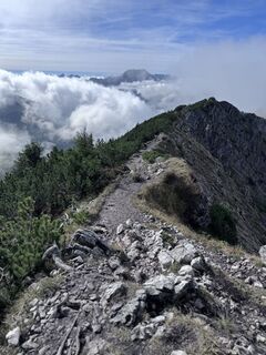
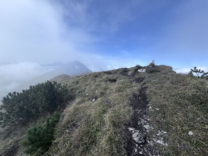
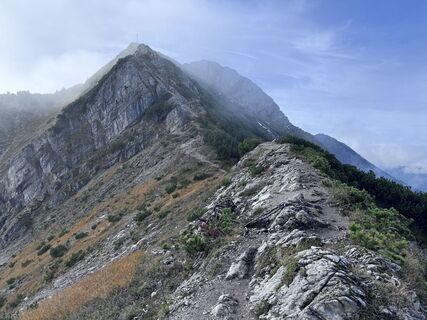
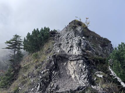
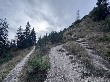
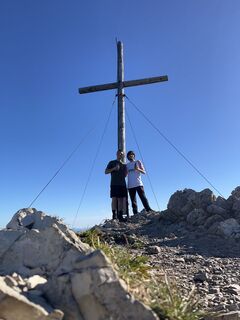
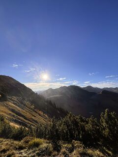
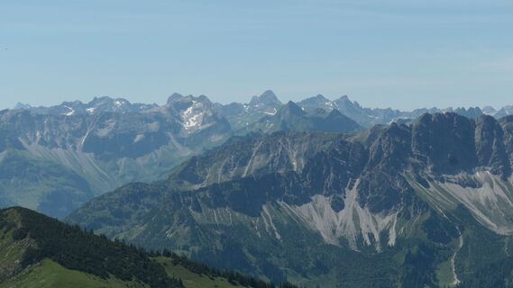
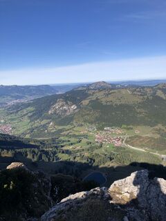
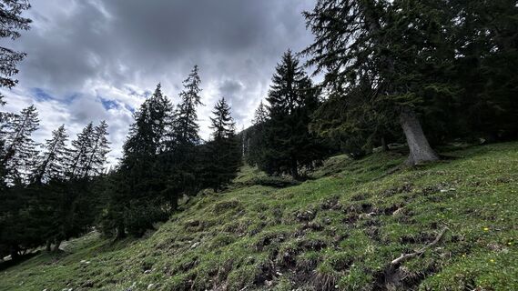
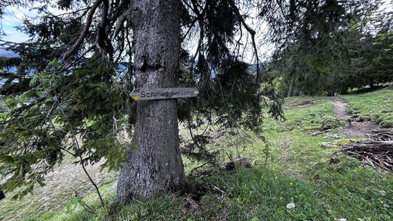
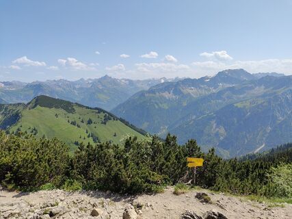
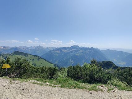
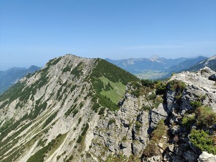
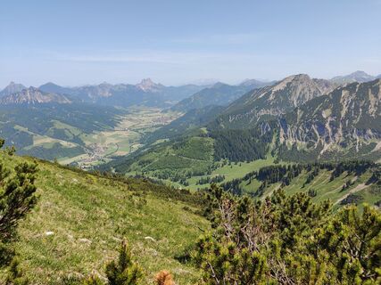
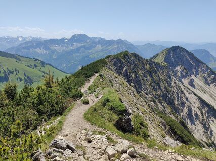
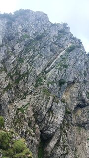
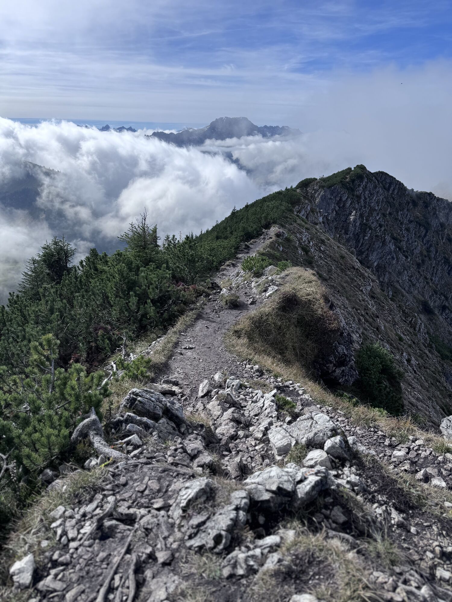
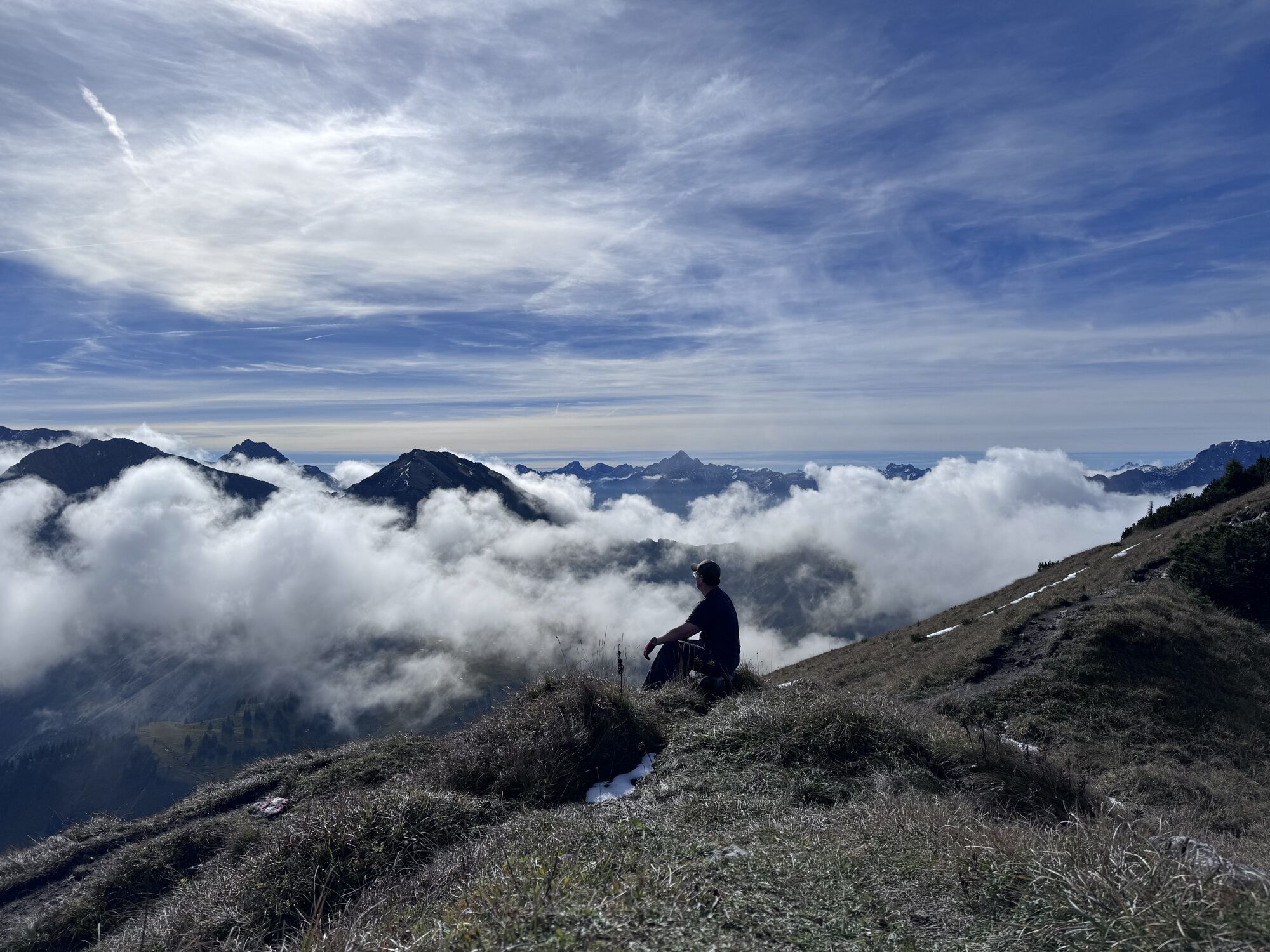
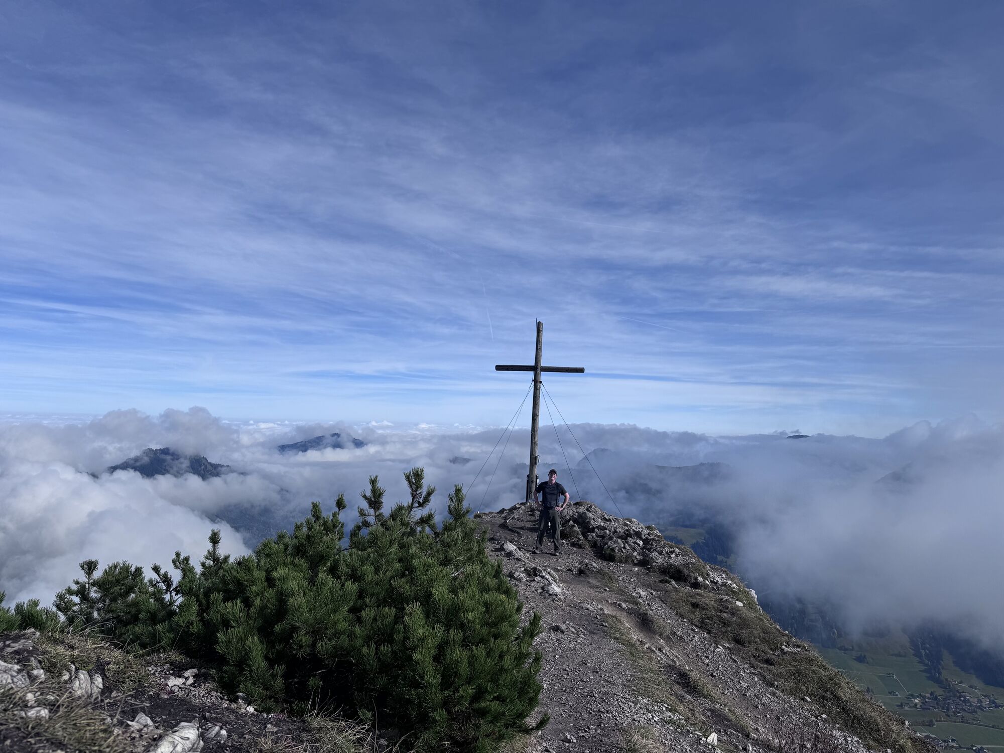
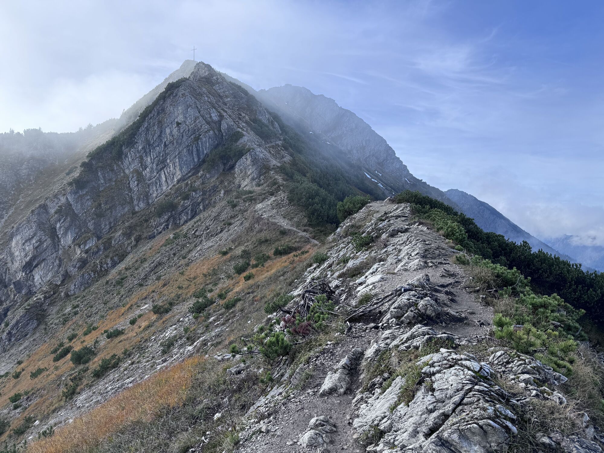
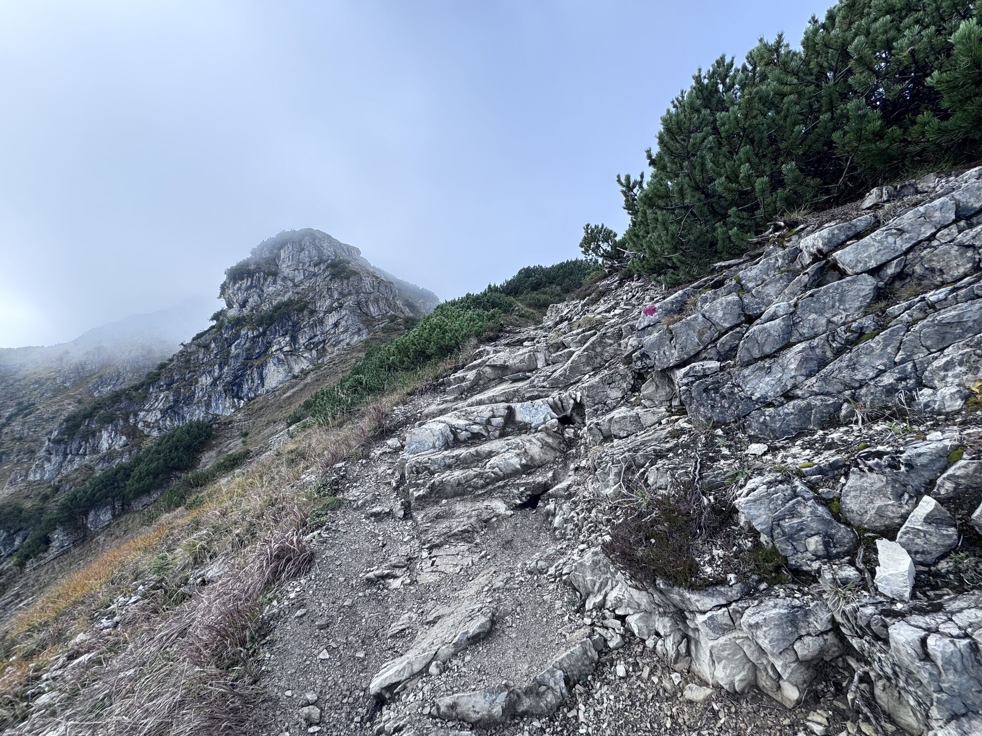
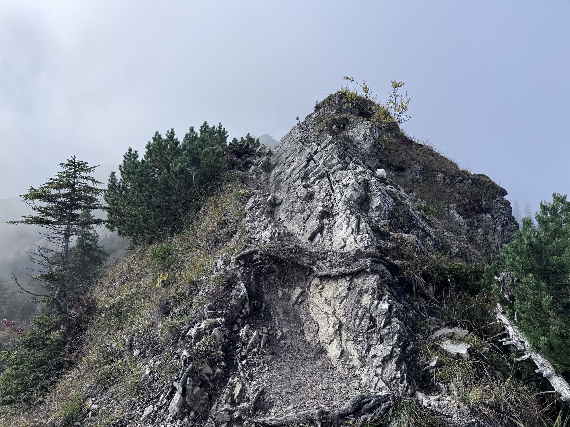
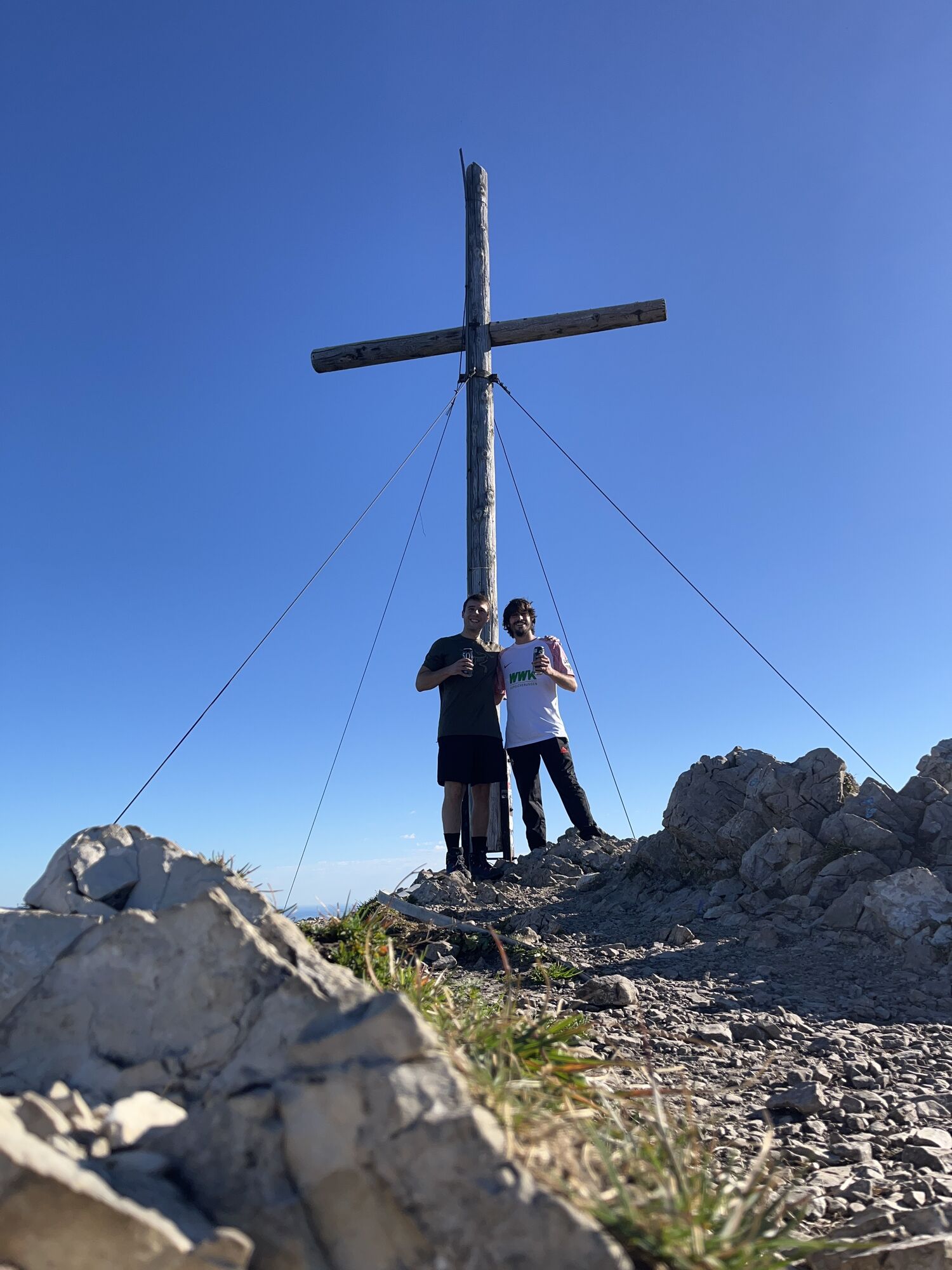
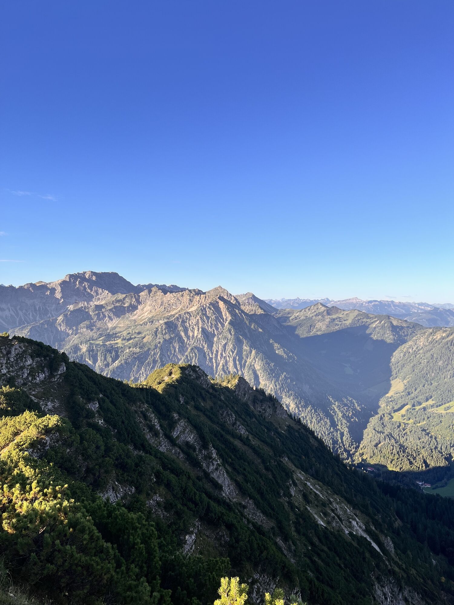
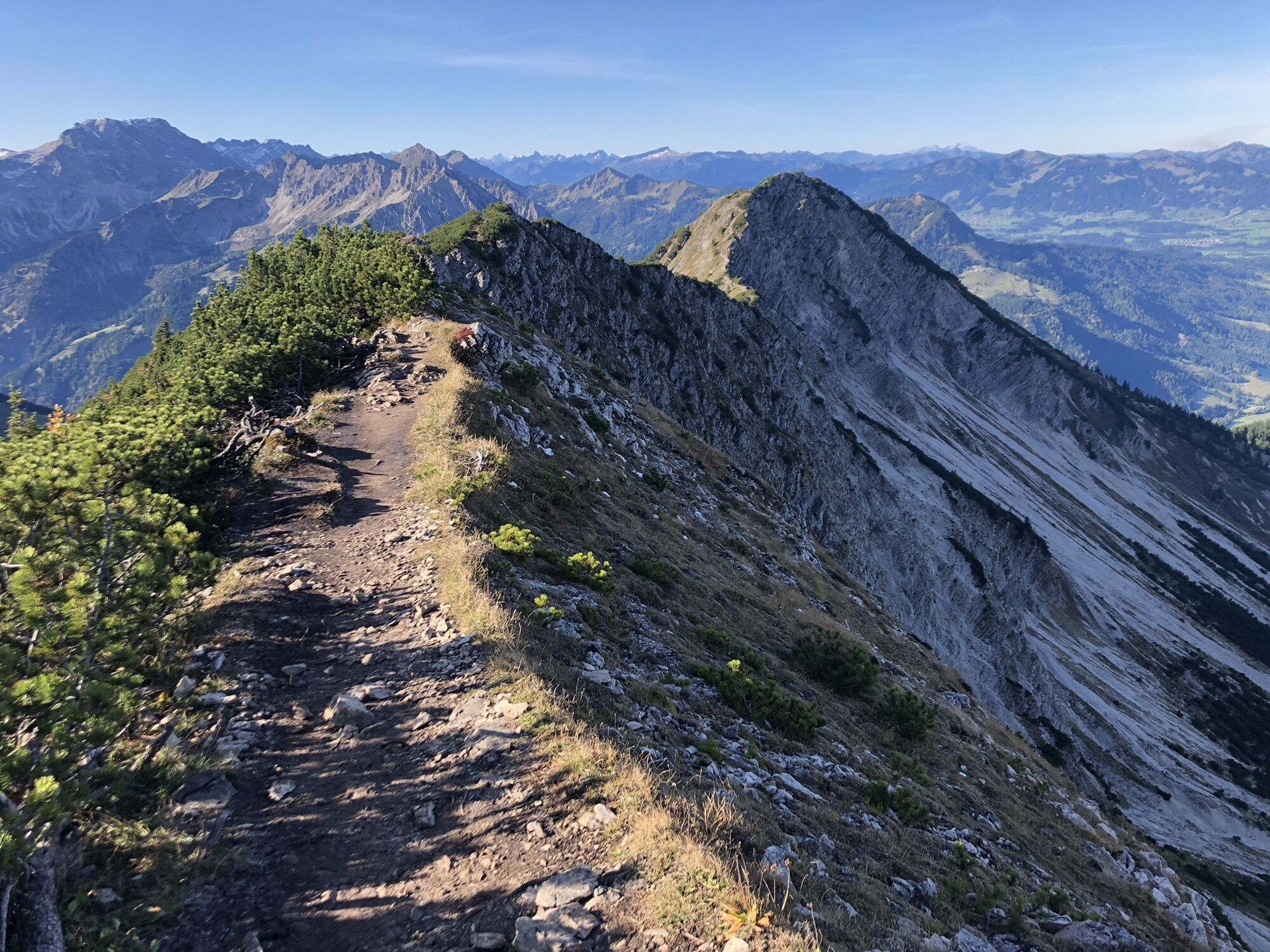
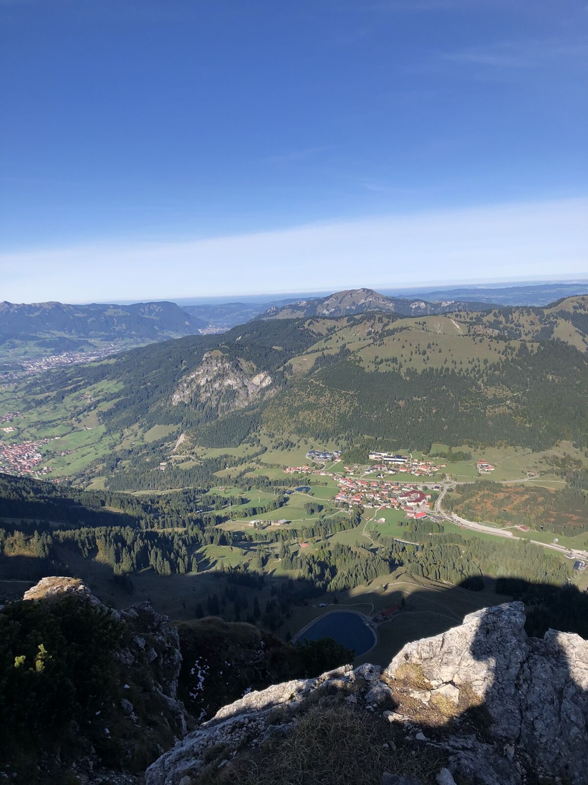
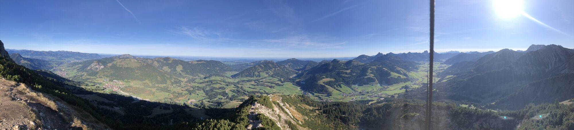
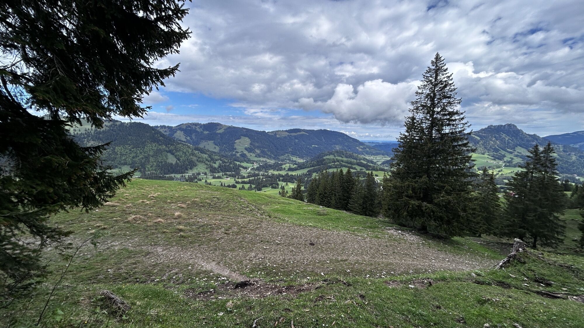
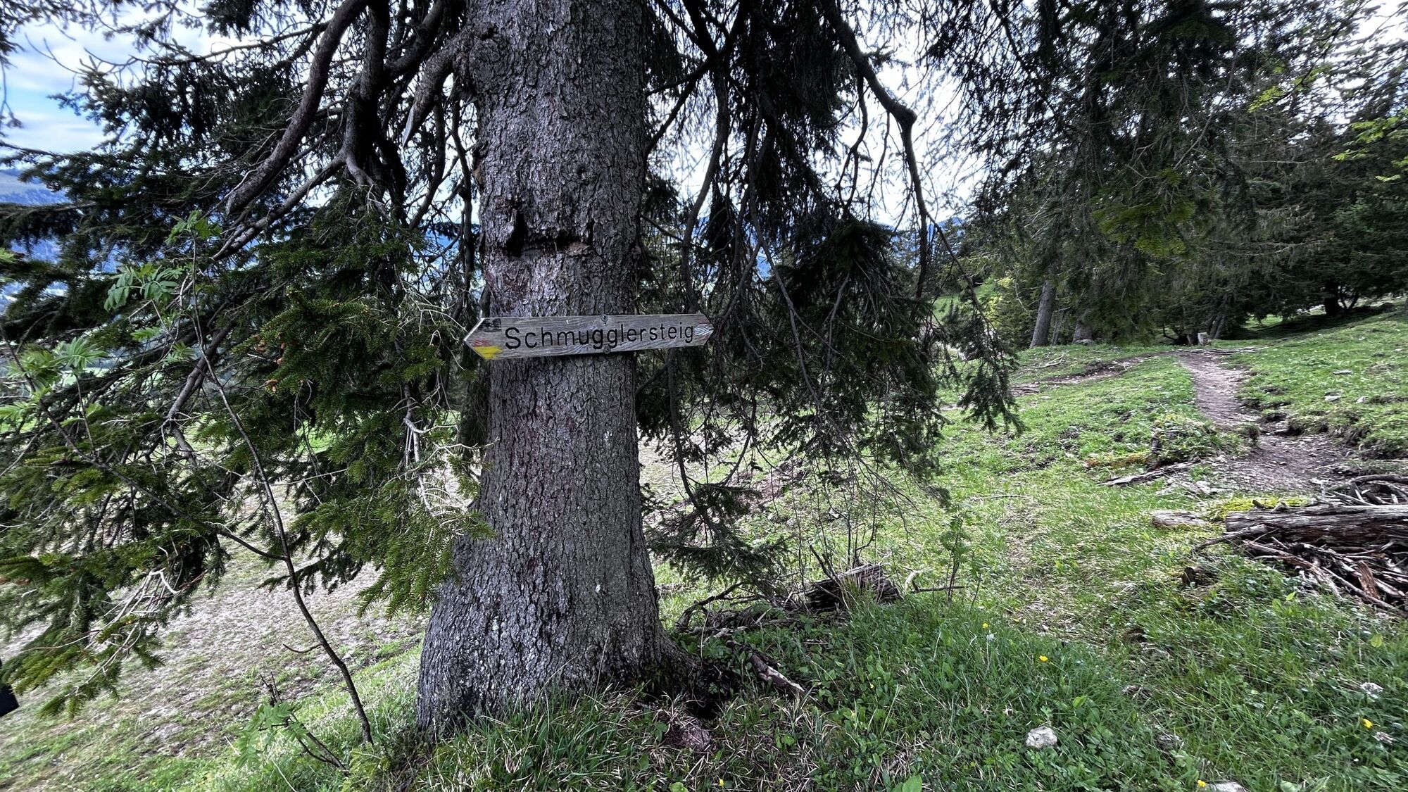
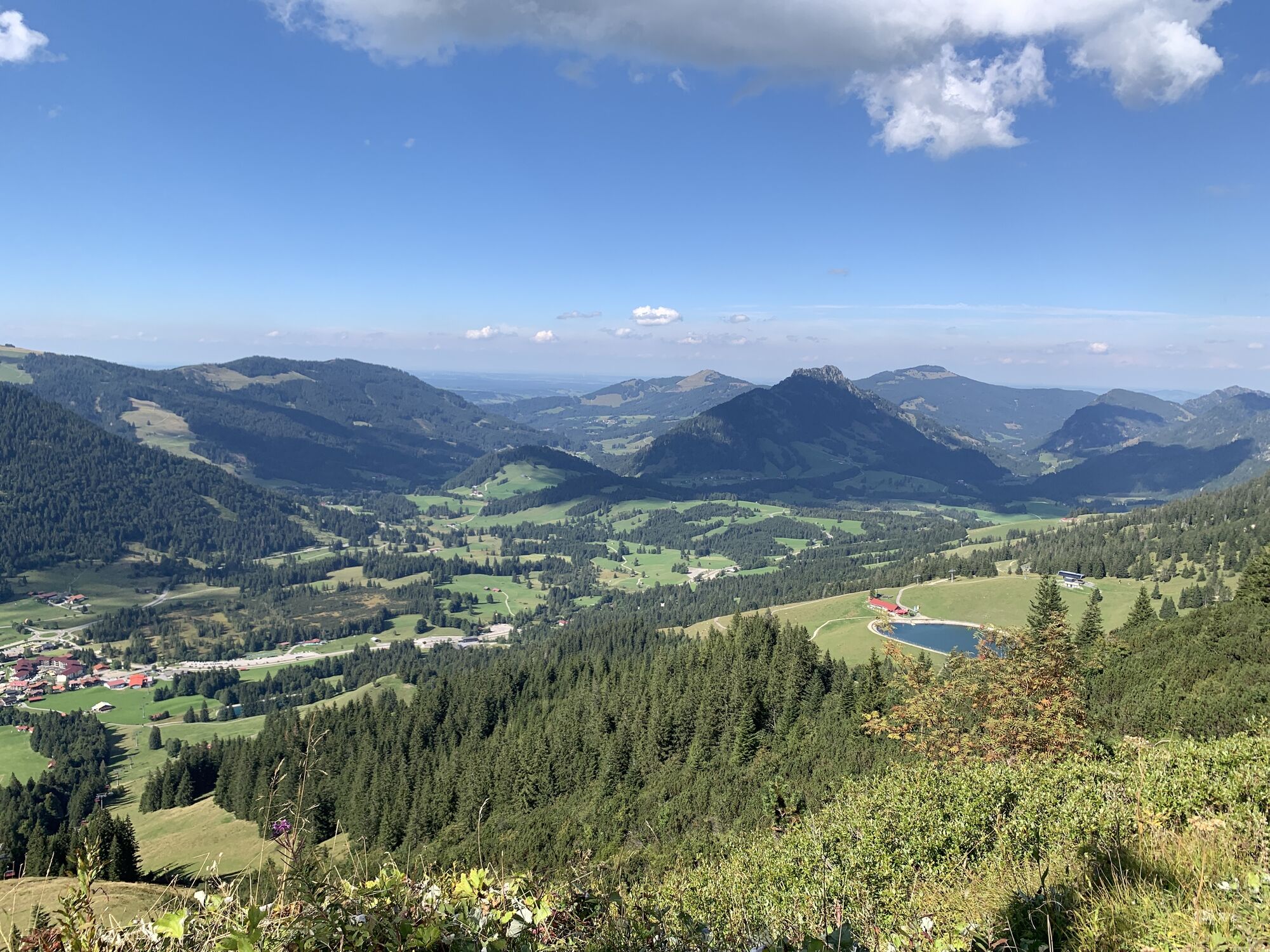
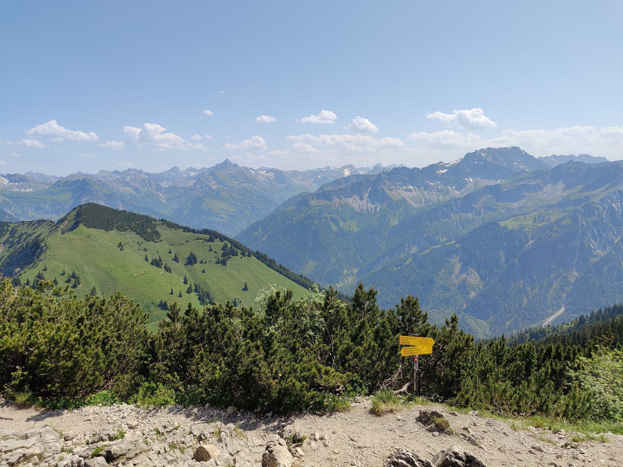
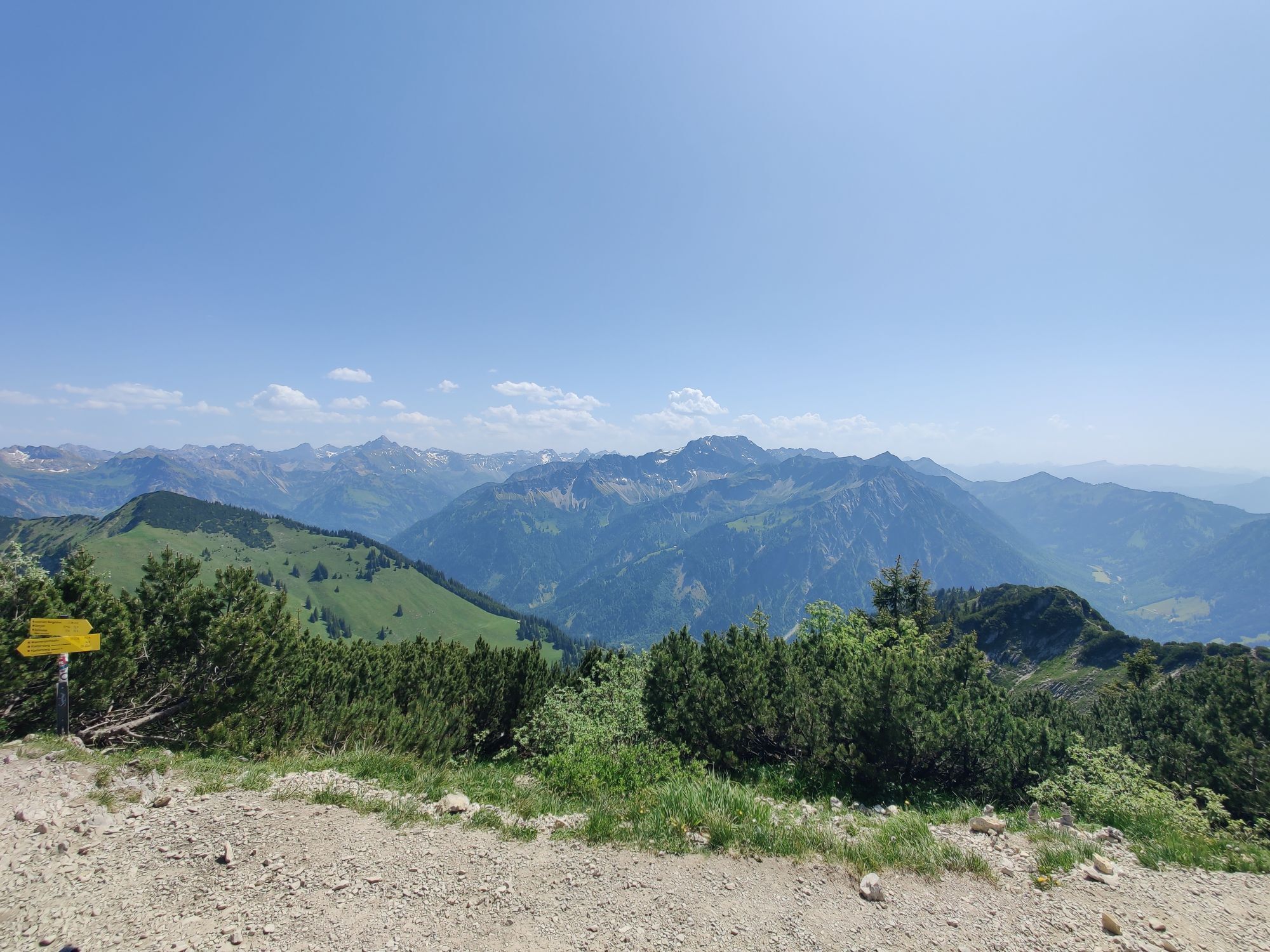
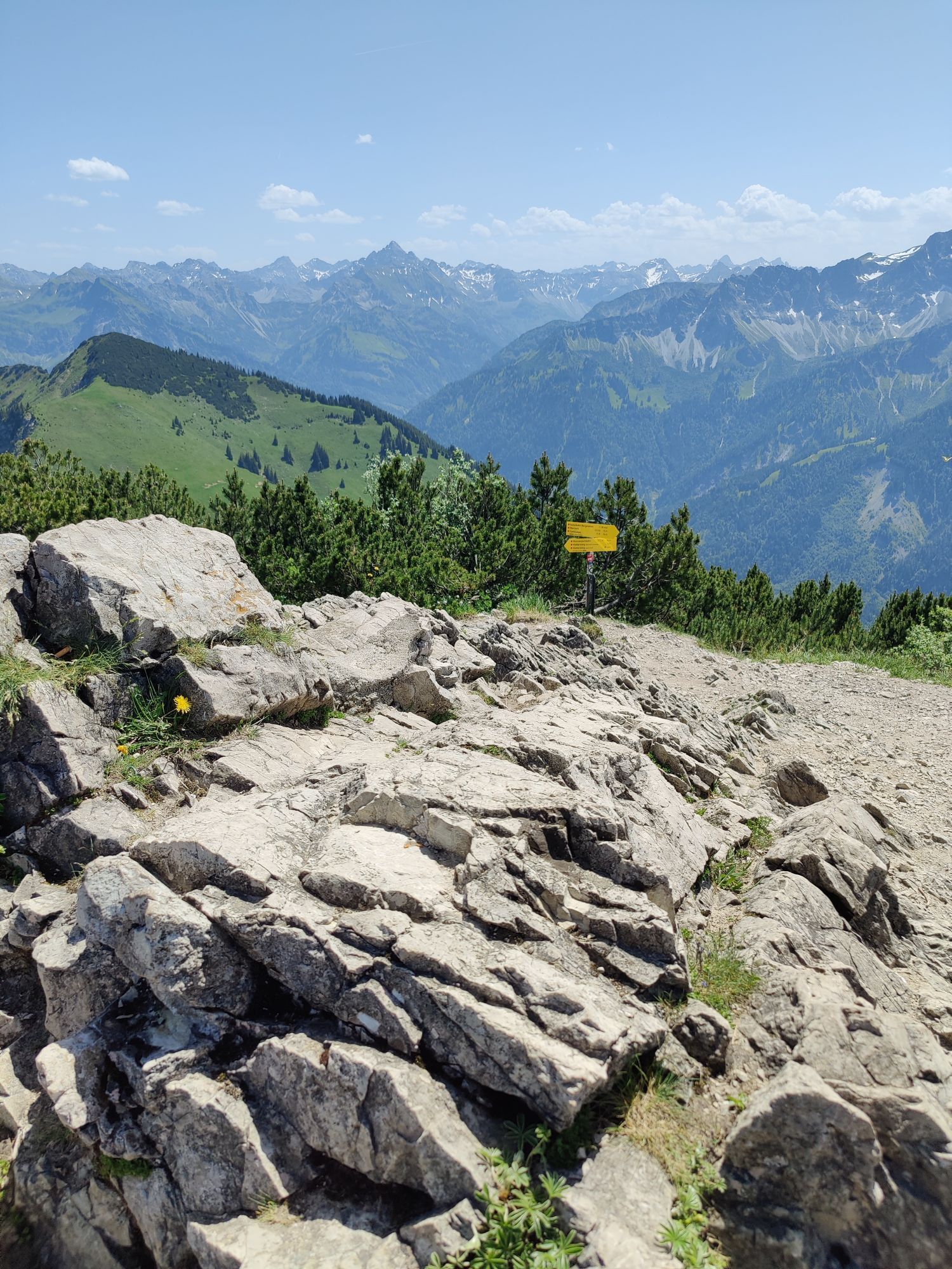
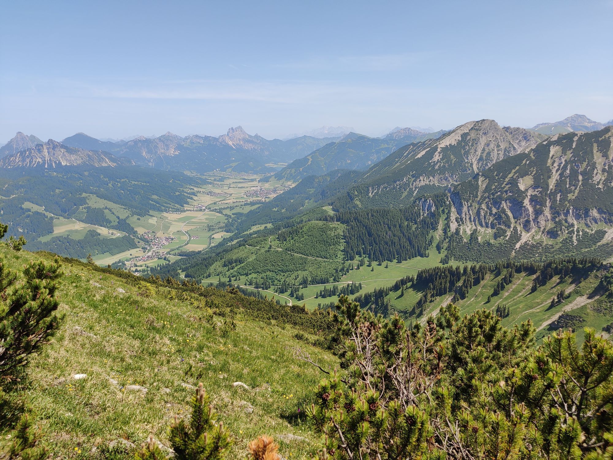
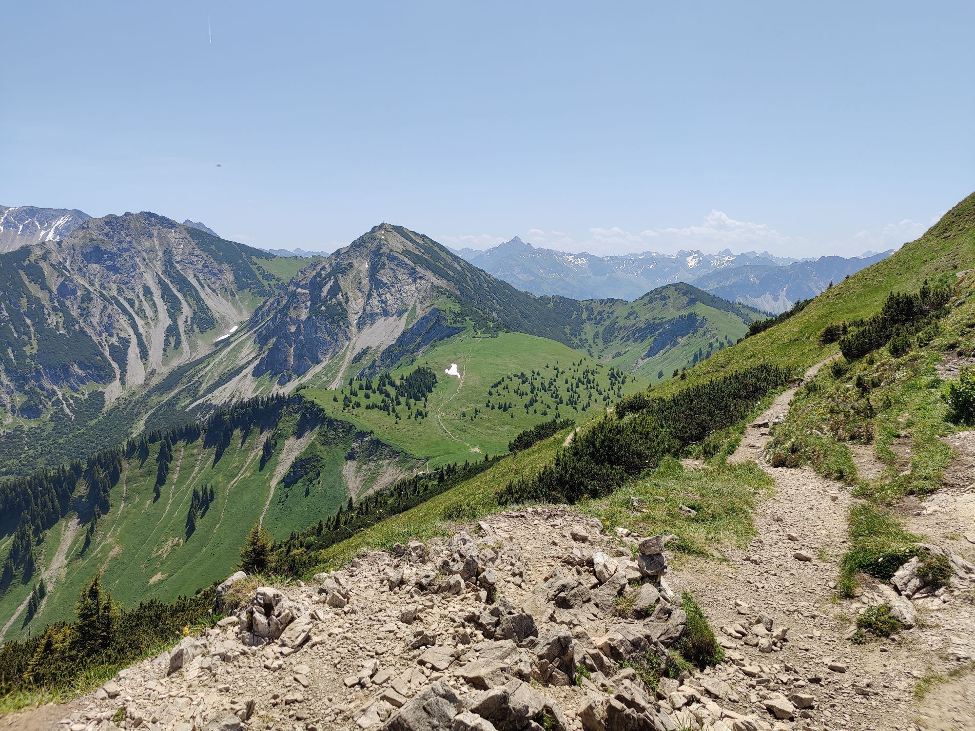
Photos from our users
-
 © Frank DreseCreated on 10.10.2025
 -
 © Frank DreseCreated on 10.10.2025
 -
 © Frank DreseCreated on 10.10.2025
 -
 © Frank DreseCreated on 10.10.2025
 -
 © Frank DreseCreated on 10.10.2025
 -
 © Frank DreseCreated on 10.10.2025
 -
 © Frank DreseCreated on 10.10.2025
 -
 © Frank DreseCreated on 10.10.2025
 -
 © Thomas EderleCreated on 20.09.2025
 -
 © Thomas EderleCreated on 20.09.2025
 -
 © Thomas EderleCreated on 20.09.2025
 -
 © Hans Werner BallCreated on 25.06.2025
 -

 © jurixCreated on 11.10.2021
 -
 © jurixCreated on 11.10.2021
 -
 © jurixCreated on 11.10.2021
 -
 © Christian BaeckeCreated on 19.05.2024
 -
 © Christian BaeckeCreated on 19.05.2024
 -
 © Christian BaeckeCreated on 19.05.2024
 -
 © Benjamin GröneCreated on 25.08.2022
 -
 © Benjamin GröneCreated on 25.08.2022
 -
 © Christian BoysenCreated on 13.06.2025
 -
 © Christian BoysenCreated on 13.06.2025
 -
 © Christian BoysenCreated on 13.06.2025
 -
 © Christian BoysenCreated on 13.06.2025
 -
 © Christian BoysenCreated on 13.06.2025
 -
 © Christian BoysenCreated on 13.06.2025
 -
 © Christian BoysenCreated on 13.06.2025
 -
 © Peter KaulenCreated on 18.07.2024


No reviews yet
Popular tours in the neighbourhood
-
4.2
Three-lake route (awarded the Tyrolean Hiking Trail Seal of Quality)
mediumHiking 14.8 km -
4.2
Höllschlucht hike » Water & Forest
mediumHiking 7.38 km -
4.6
3-Seen Rundtour Vilsalpsee / Schrecksee / Traualpsee
mediumHiking 17.1 km -
4.6
Rubihorn
mediumHiking 9.06 km -
4.4
Wanderung auf den grünten
mediumHiking 8.31 km -
4.8
3-Gipfel-Tour
mediumHiking 11.2 km -
4.5
Mountain hike to the Aggenstein
heavyHiking 15.3 km -
4.0
From Tannheim to the Sulzspitze
mediumHiking 15.6 km -
5.0
Hiking tour to Breitenberg
heavyHiking 15.6 km -
5.0
Gemeinde Grän, Tirol/Österreich Aggenstein Rundtour über Höhenweg
mediumHiking 9.84 km
Hiking & Tracking

Over 550.000 tour suggestions, detailed maps and an intuitive route planner make the app a must-have for all nature enthusiasts.

Don't miss out on offers and inspiration for your next holiday
Subscribe to the newsletter
Error
An error has occurred. Please try again.
Thank you for your registration
Your e-mail address has been added to the mailing list.
Tours throughout Europe
Austria
Switzerland
Germany
Italy
Slovenia
France
Netherlands
Belgium
Poland
Liechtenstein
Czechia
Slovakia
Spain
Croatia
Bosnia and Herzegovina
Luxembourg
Andorra
Portugal
Iceland
United Kingdom
Ireland
Greece
Albania
North Macedonia
Malta
Norway
Montenegro
Moldova
Kosovo
Hungary
San Marino
Romania
Estonia
Latvia
Belarus
Cyprus
Lithuania
Serbia
Bulgaria
Monaco
Denmark
Sweden
Finland