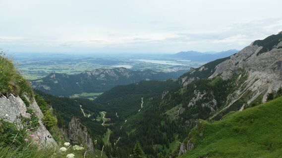
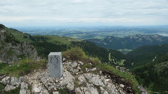
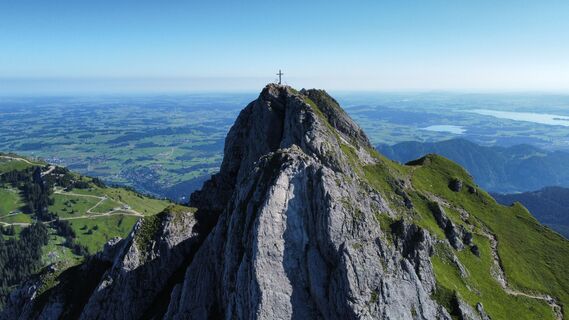
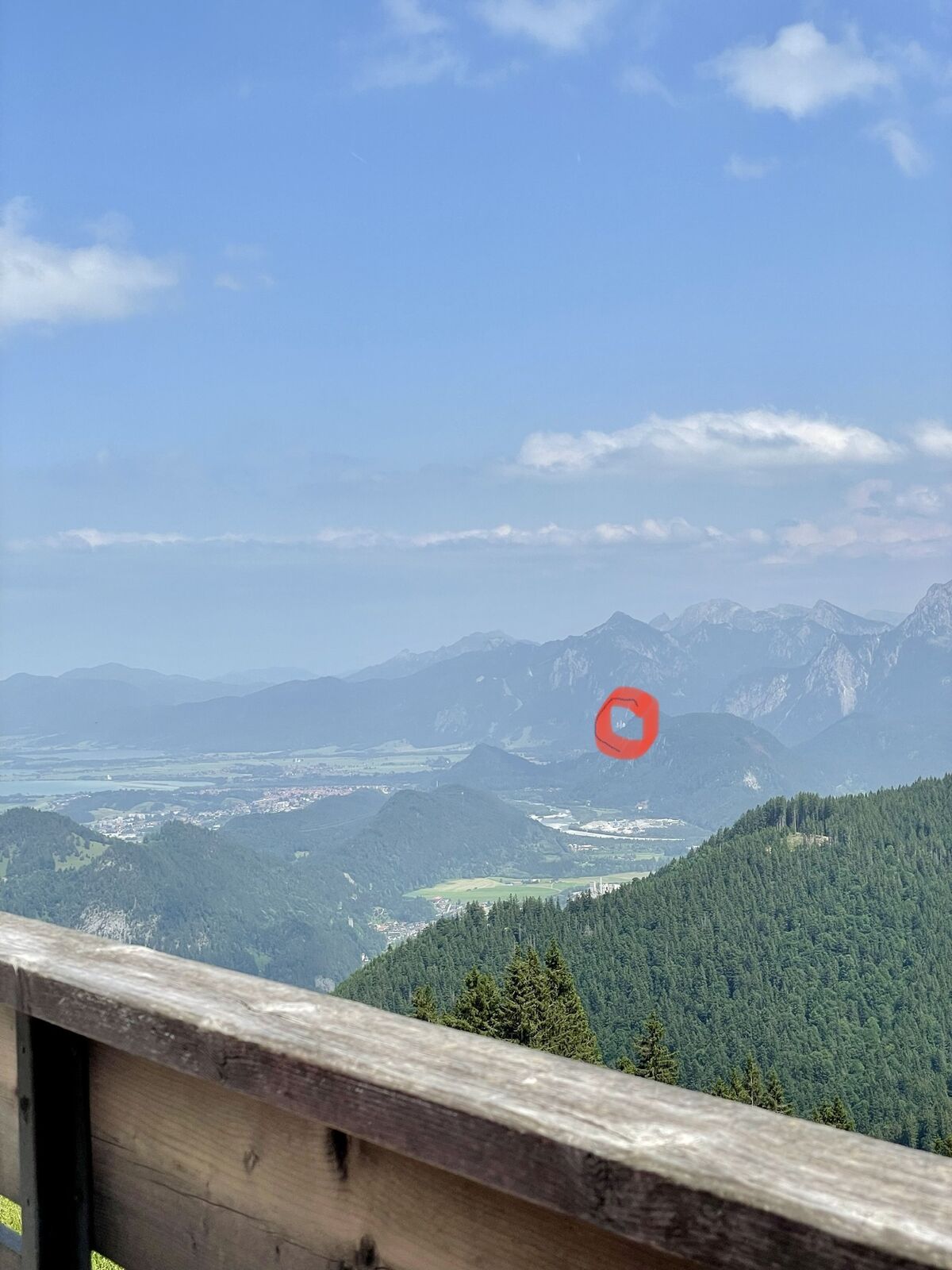
Aggenstein
Hiking
Navigate
Navigate
Get this tour on your mobile
Aggenstein
Hiking
9.56
km
Scan the QR code and start navigation in the bergfex app

Hiking & Tracking


Distance
9.56
km
Duration
03:46
h
Ascent
662
m
Sea level
841 -
1,962
m
Track download
Aggenstein
Hiking
9.56
km


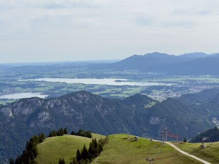
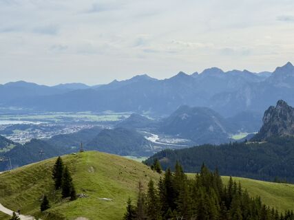
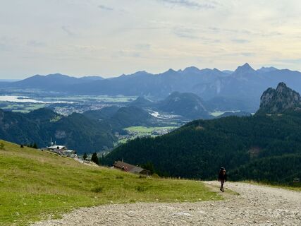
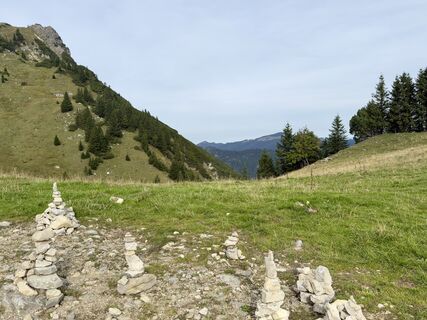
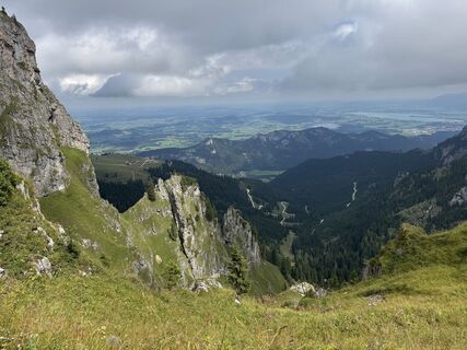
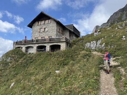
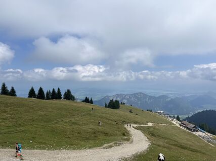
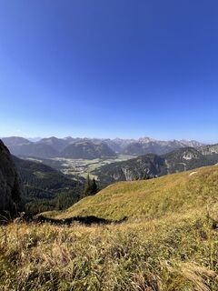
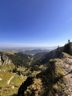
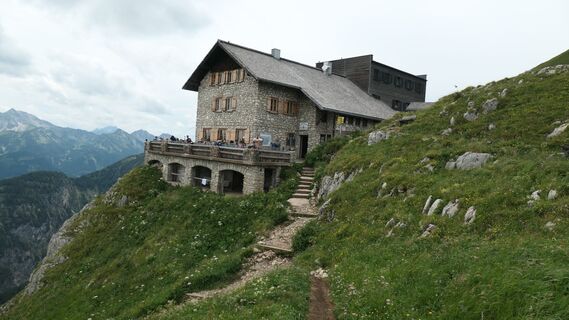
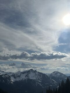
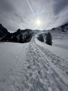
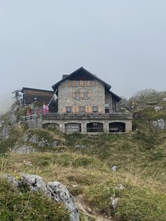
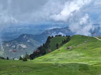
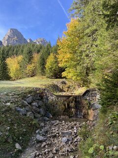
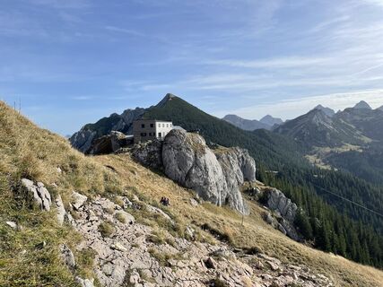
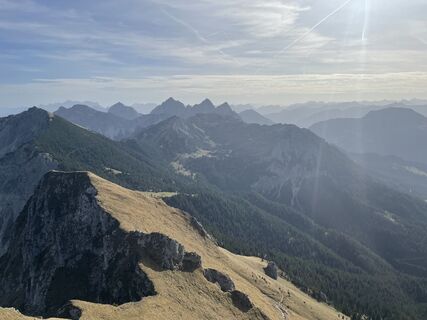
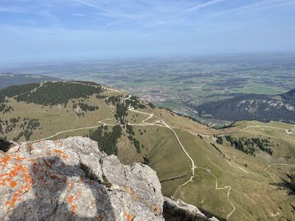
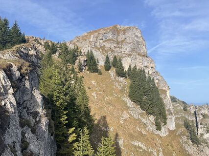
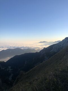
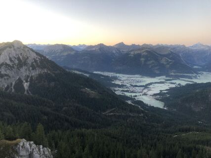
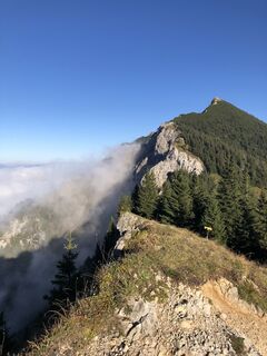
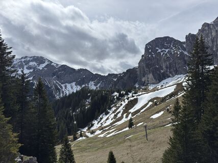
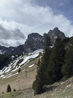
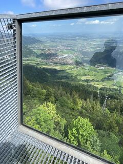
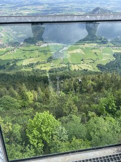
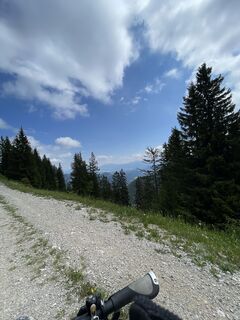
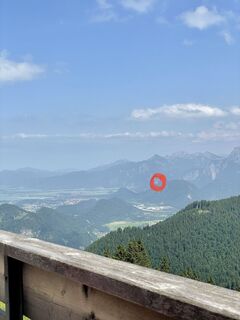
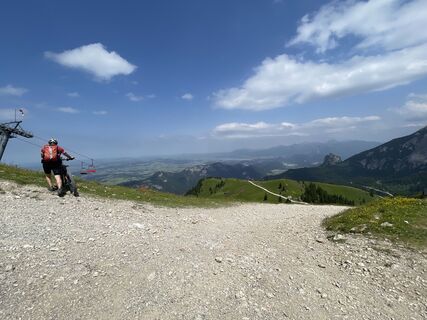
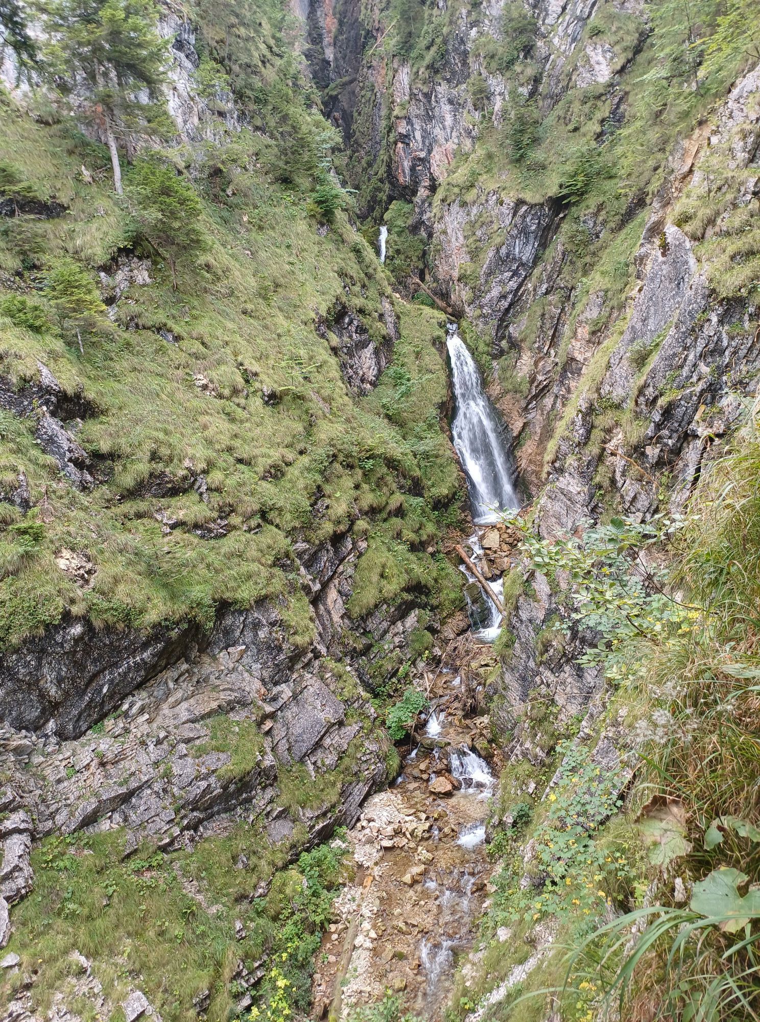
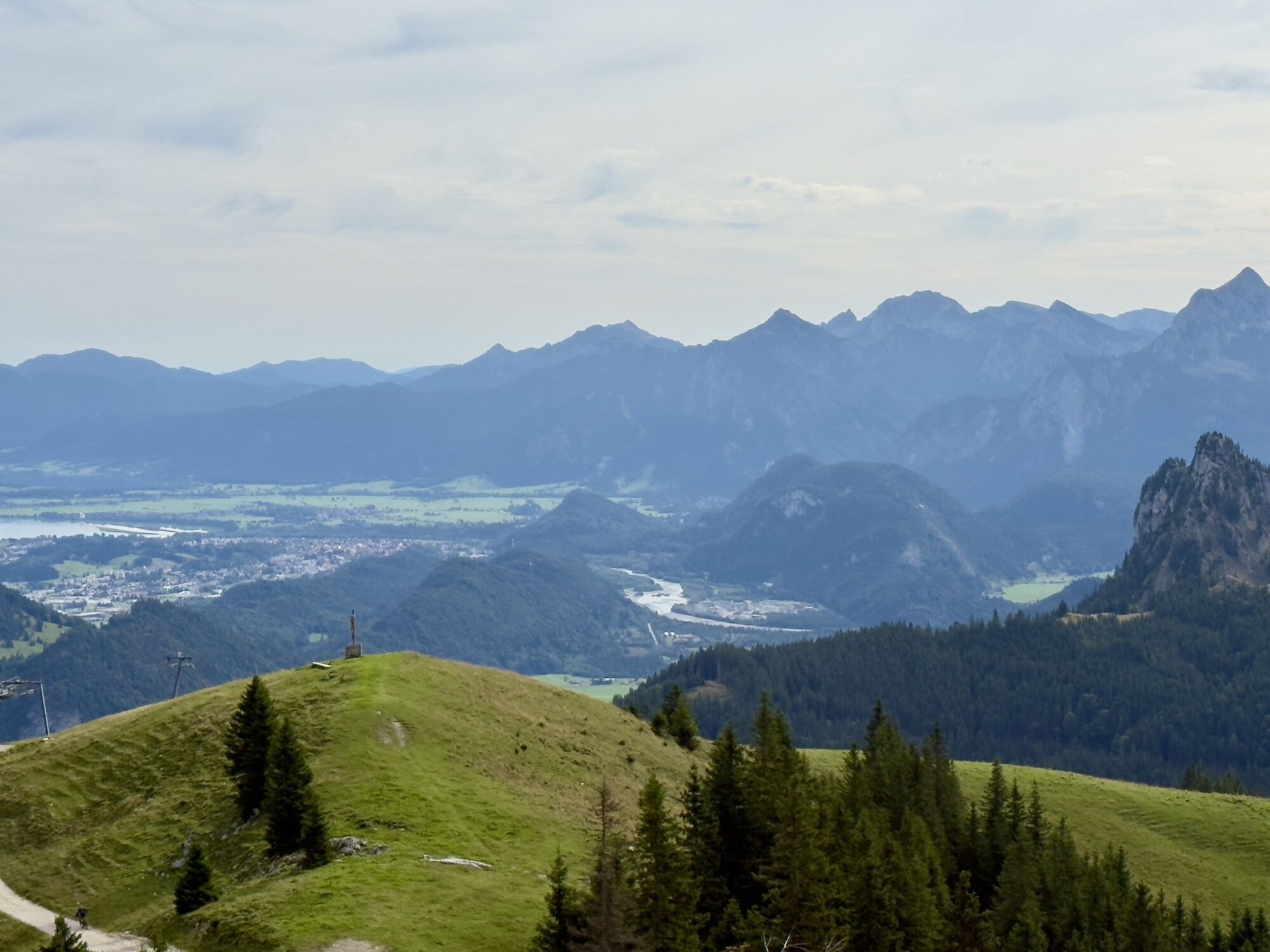
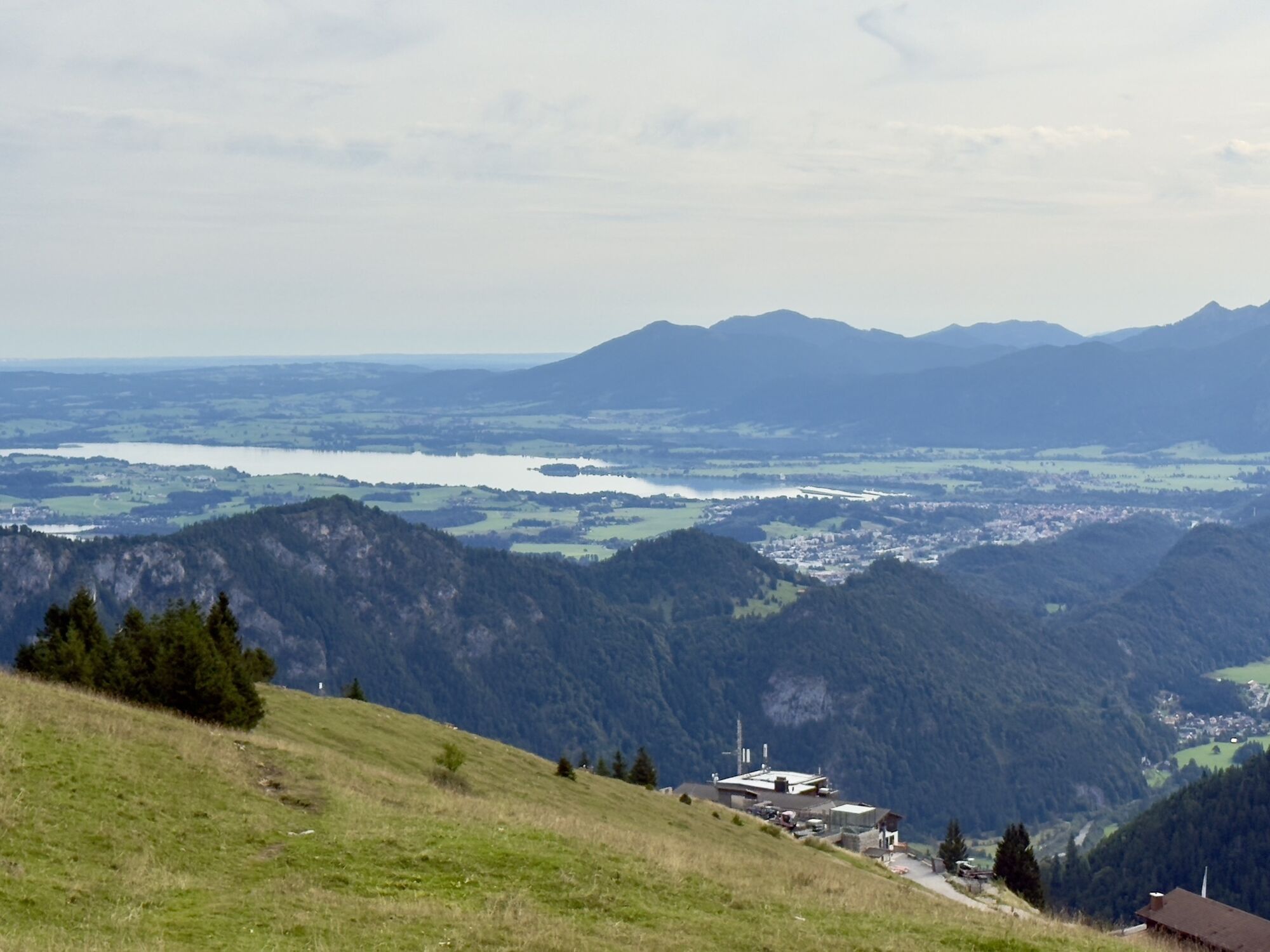
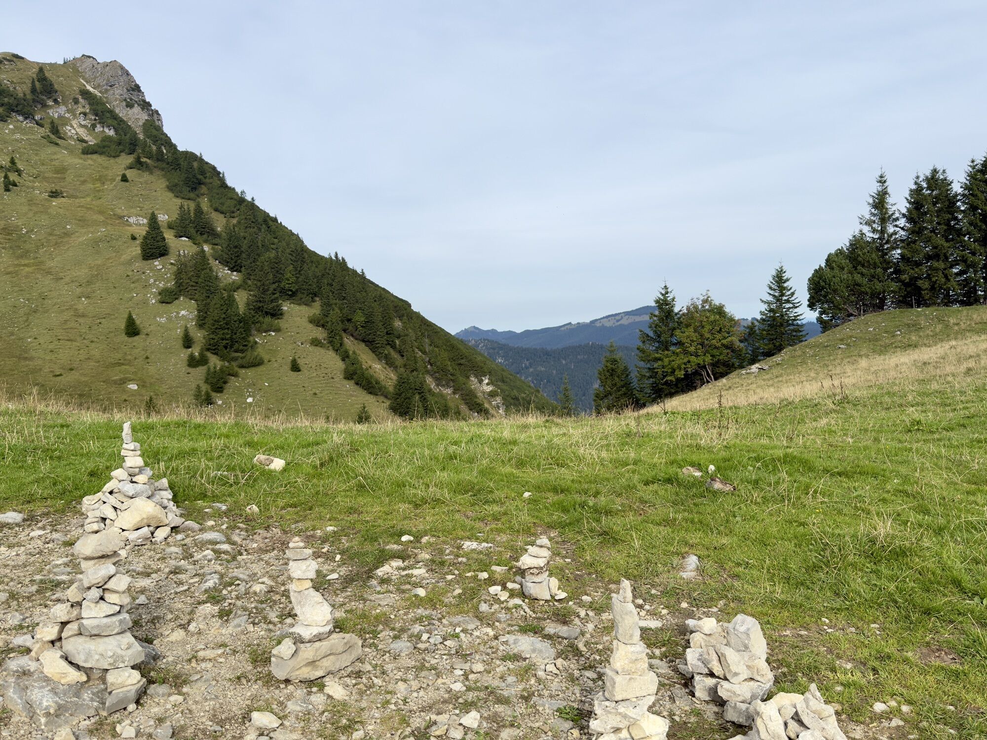
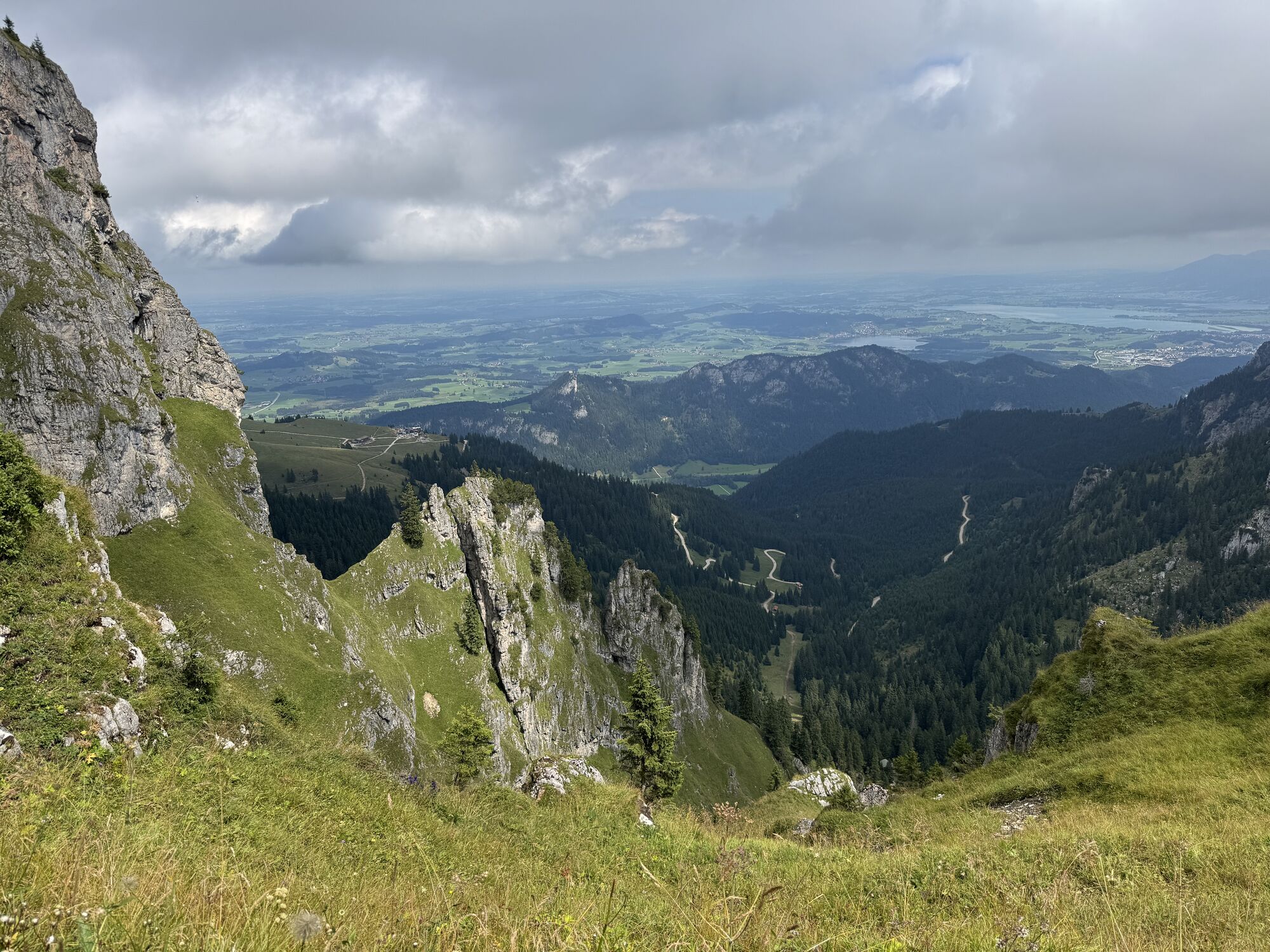
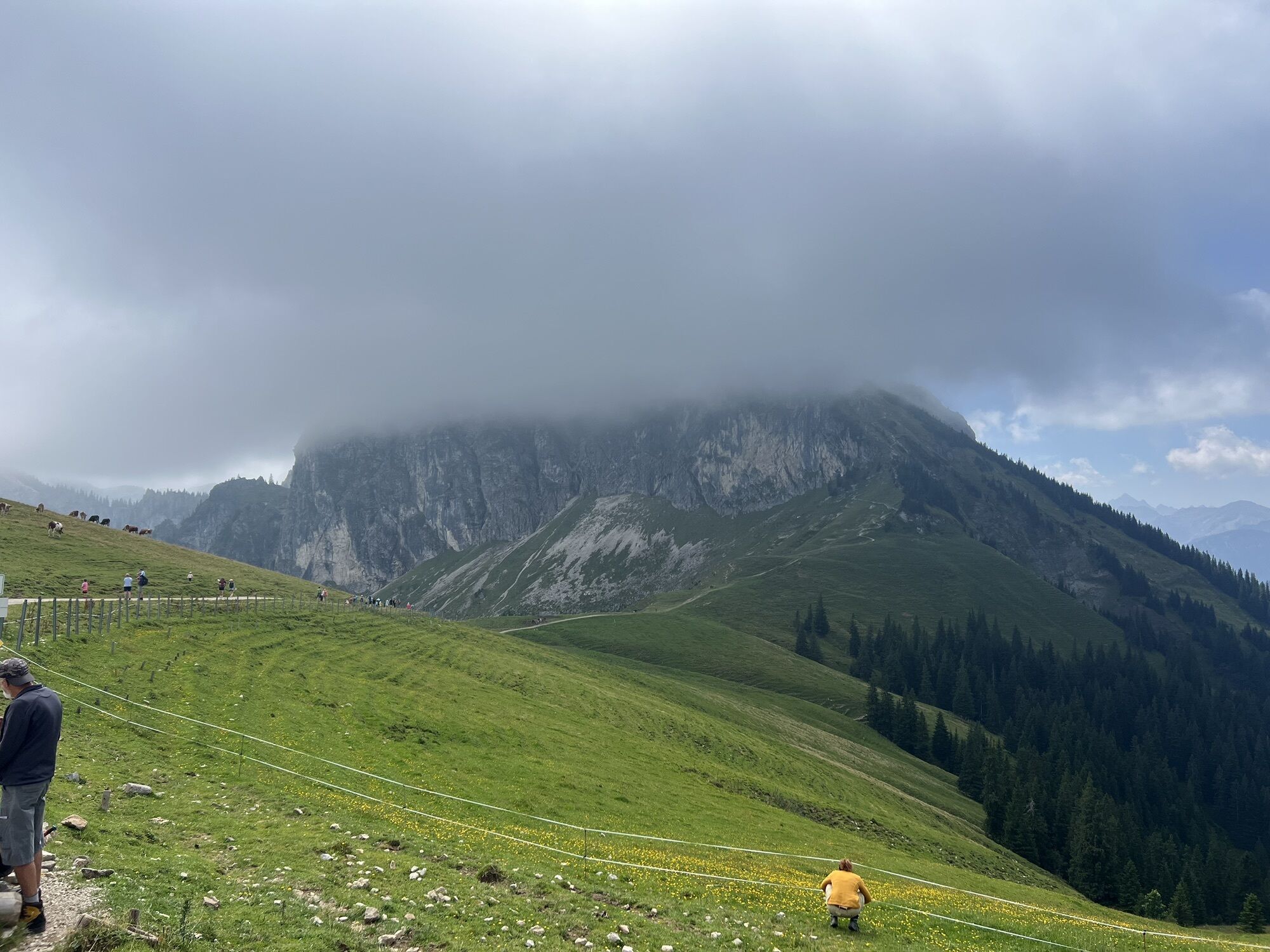
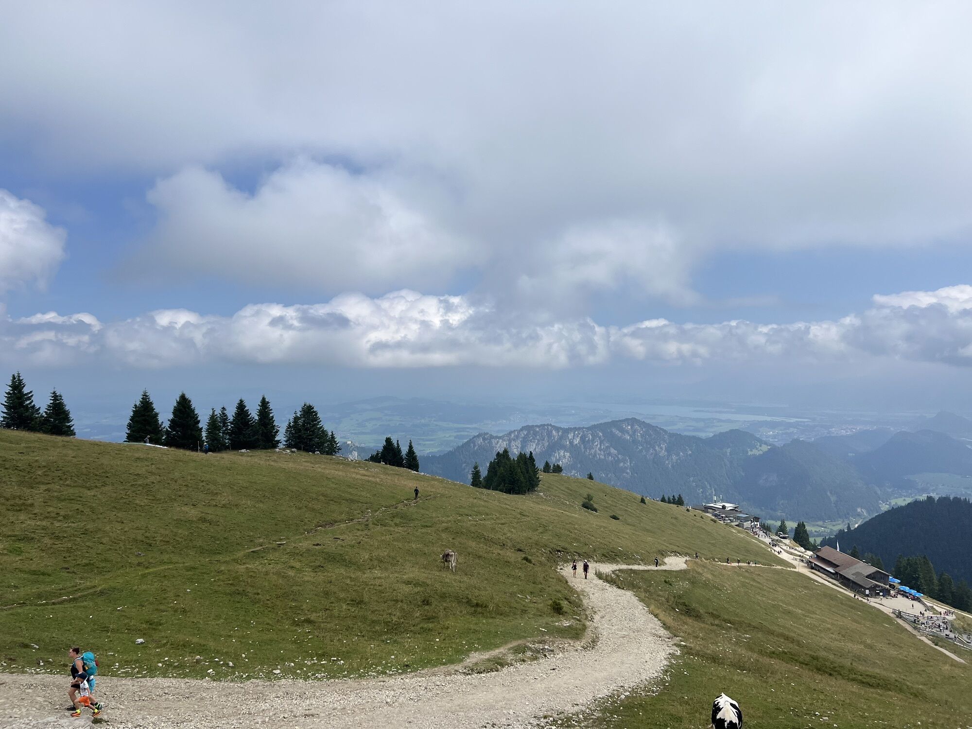
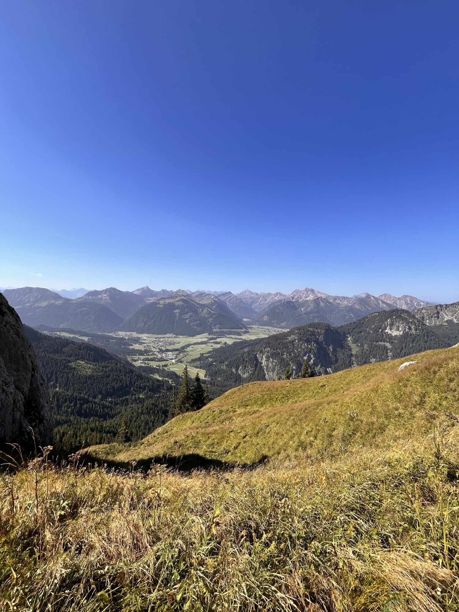
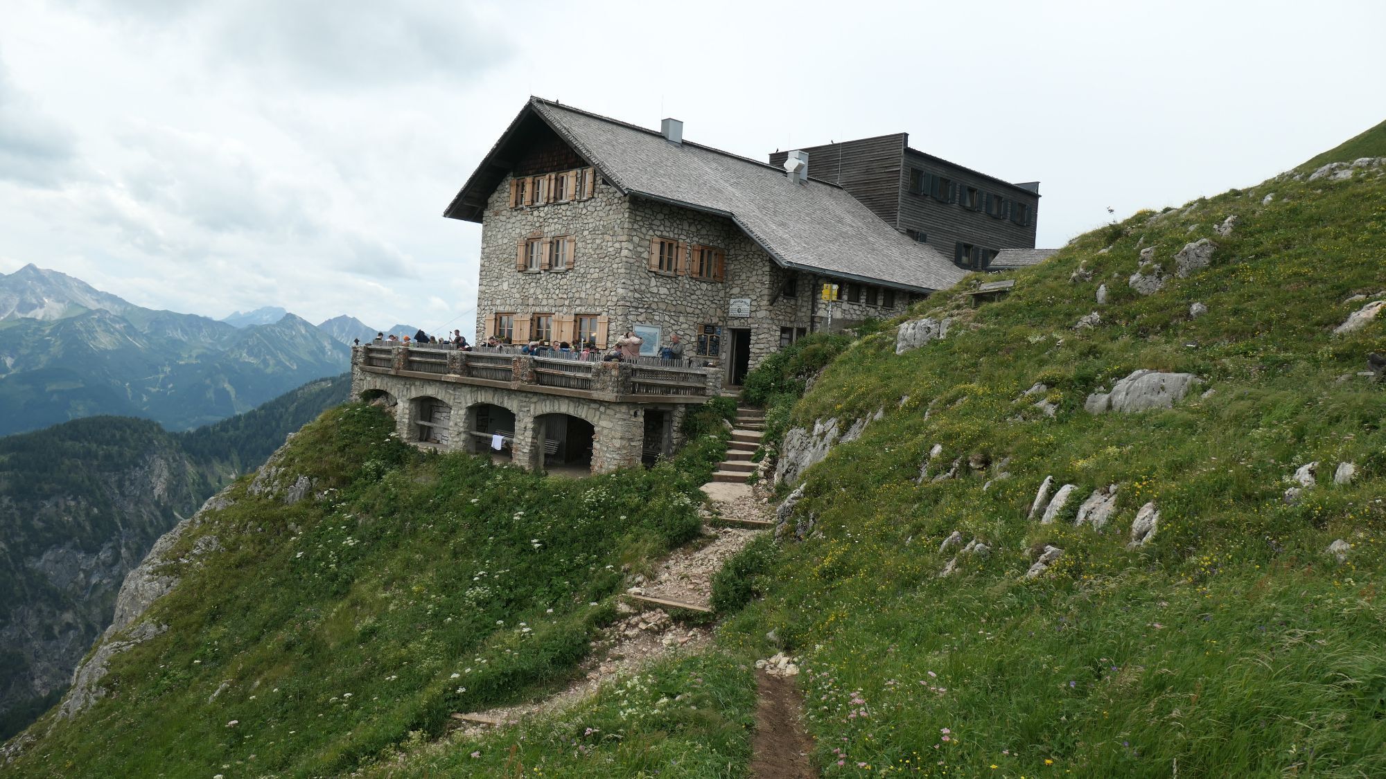
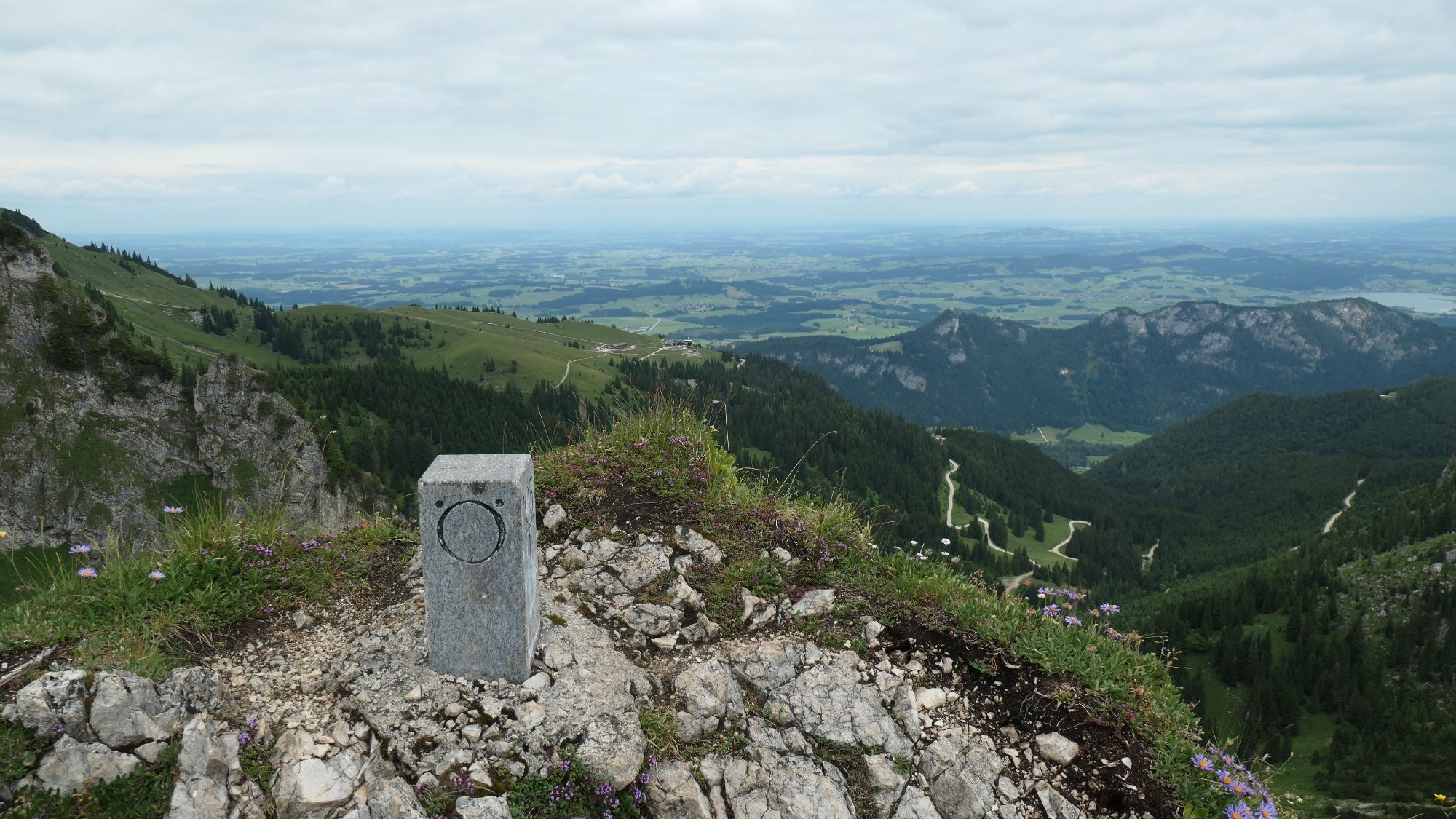
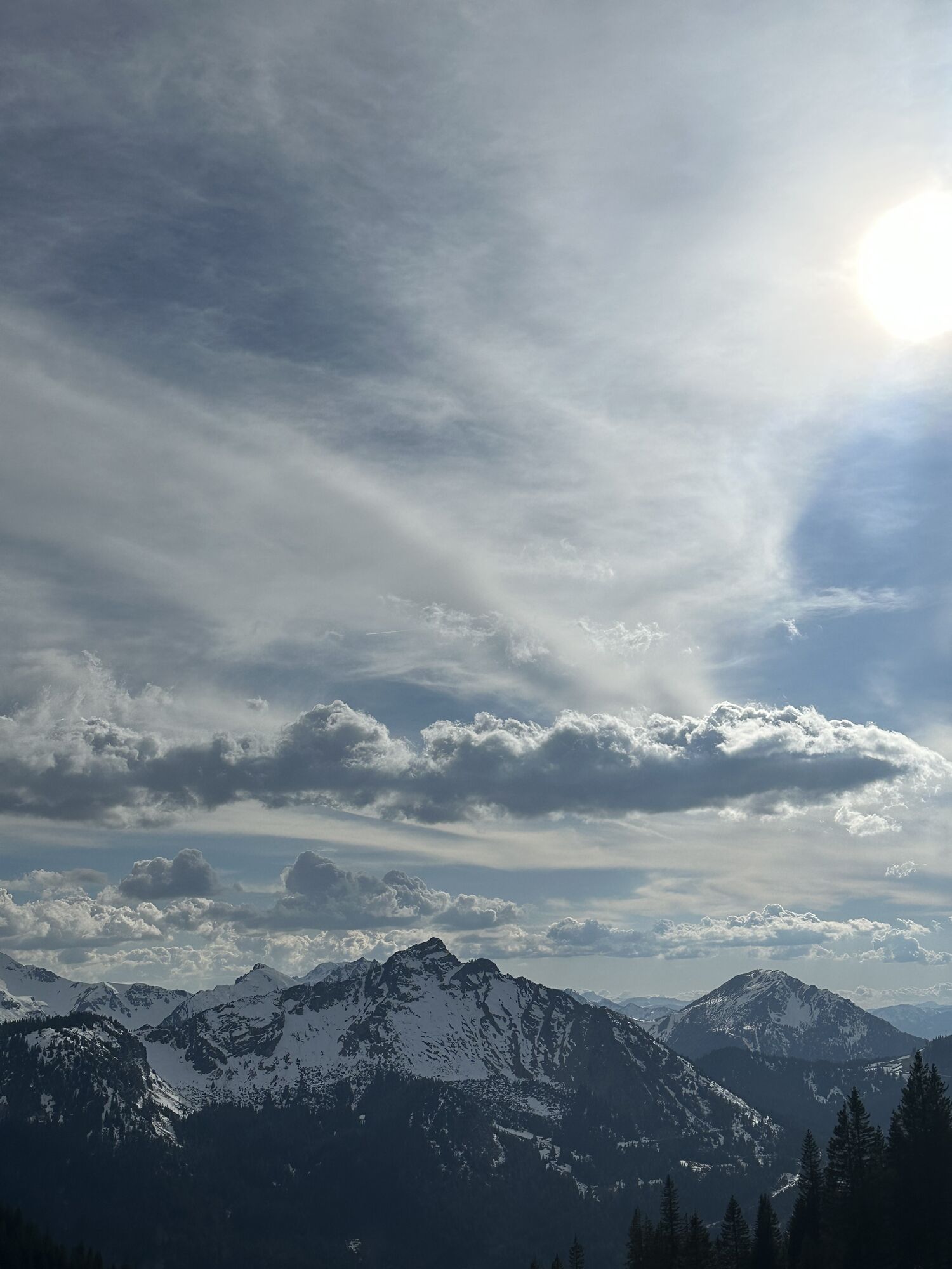
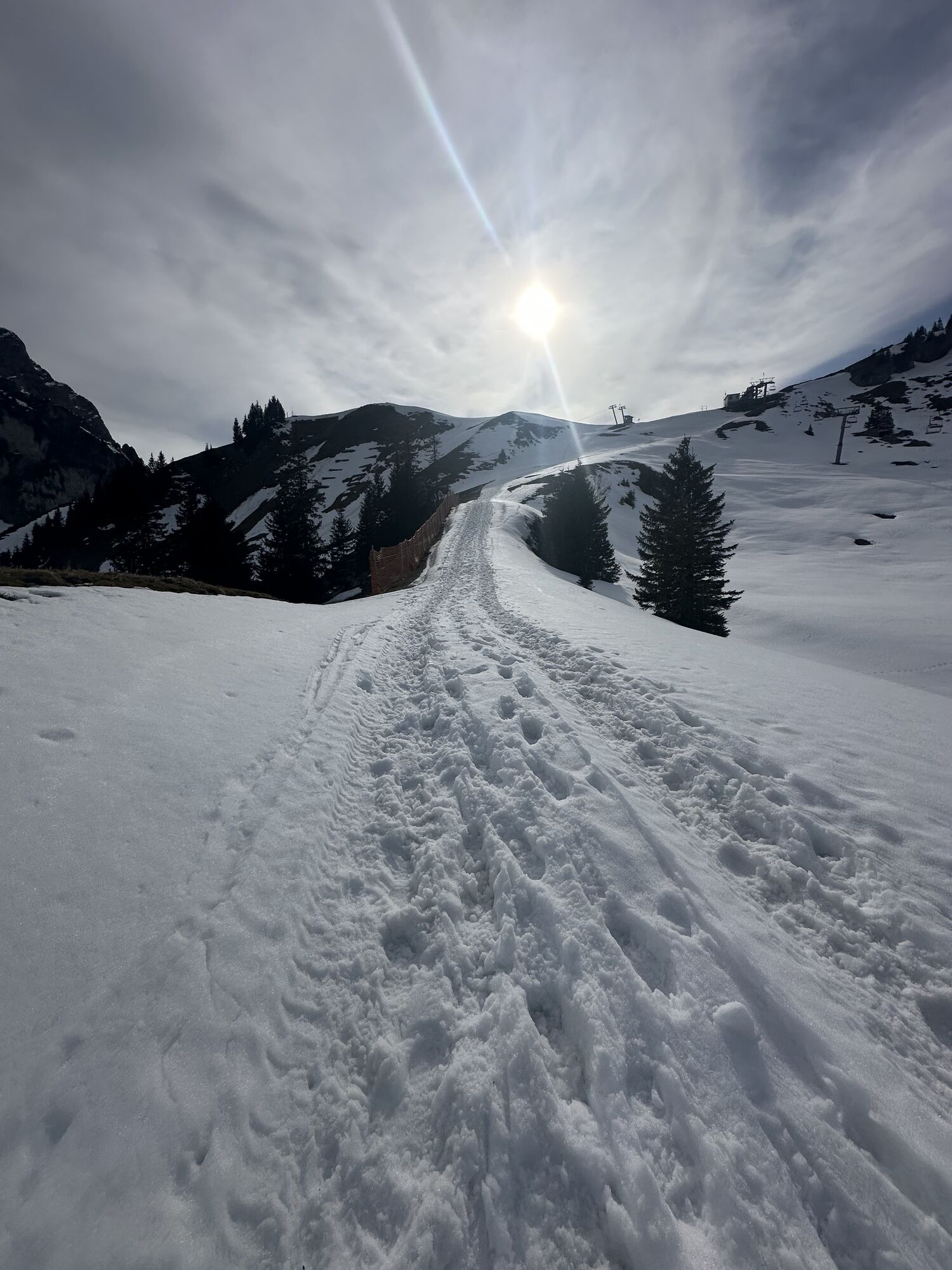
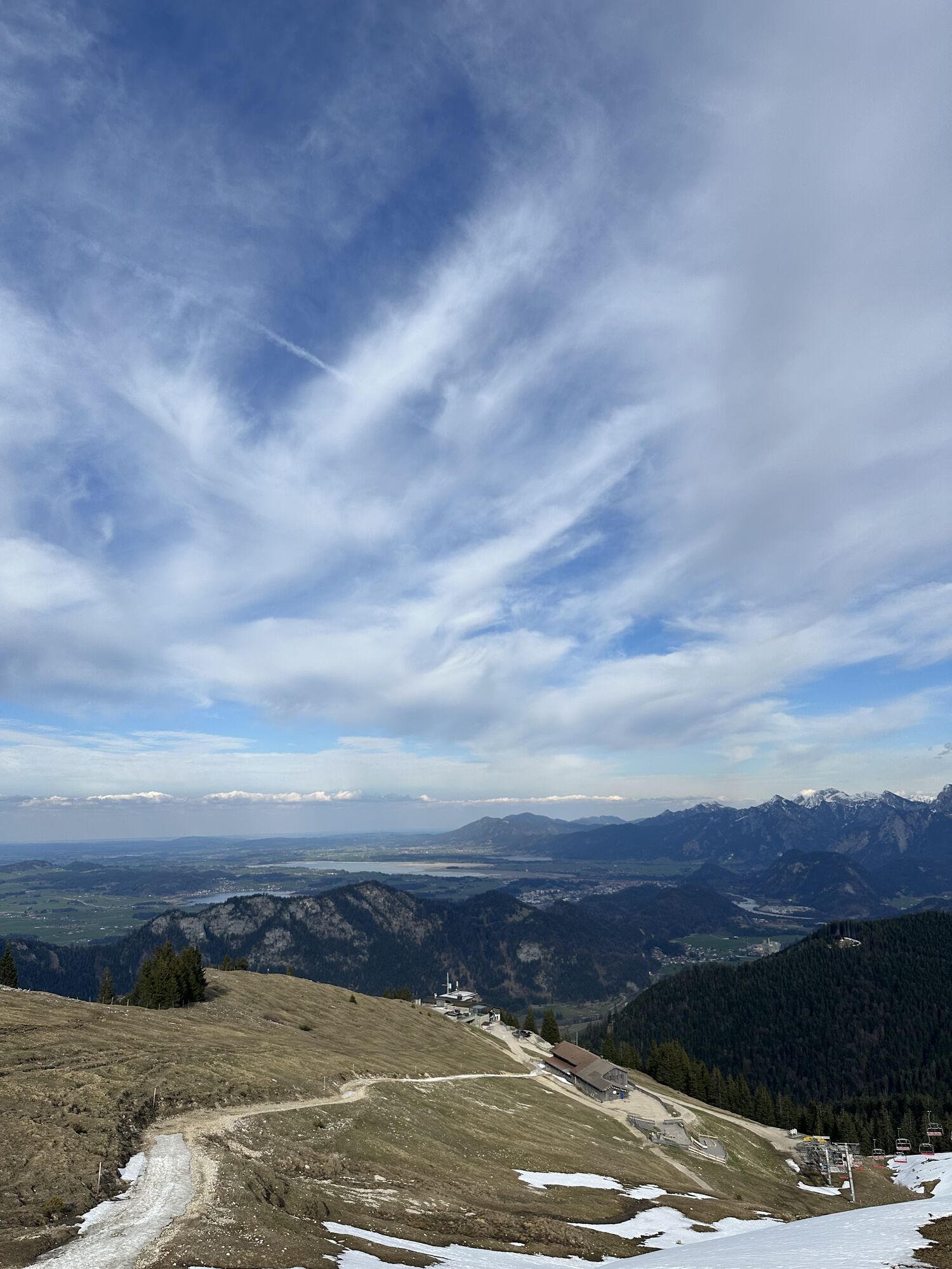
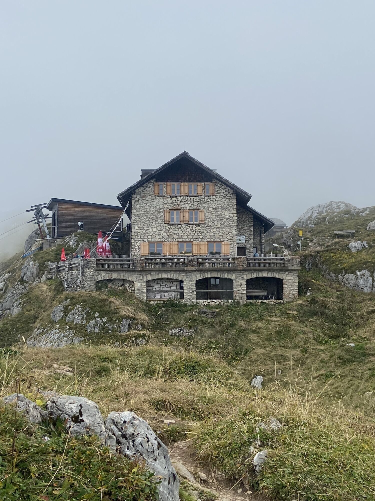
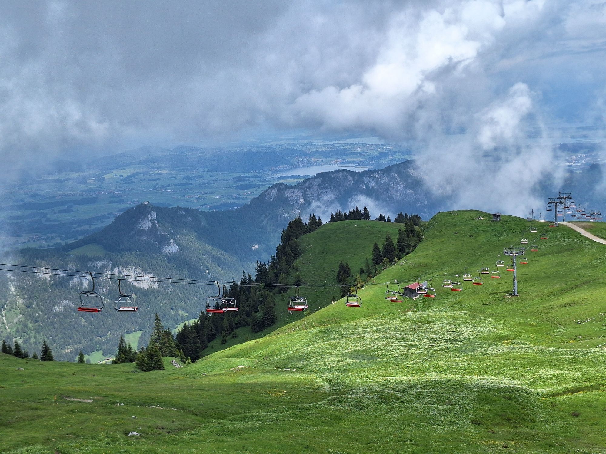
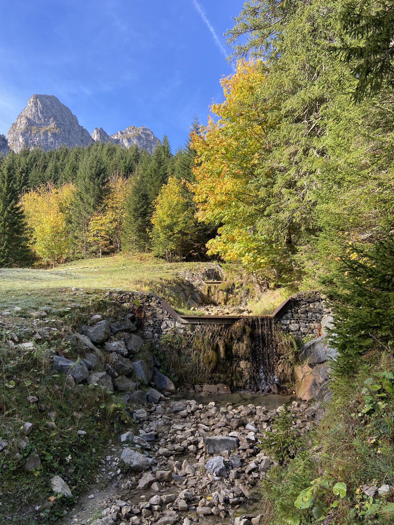
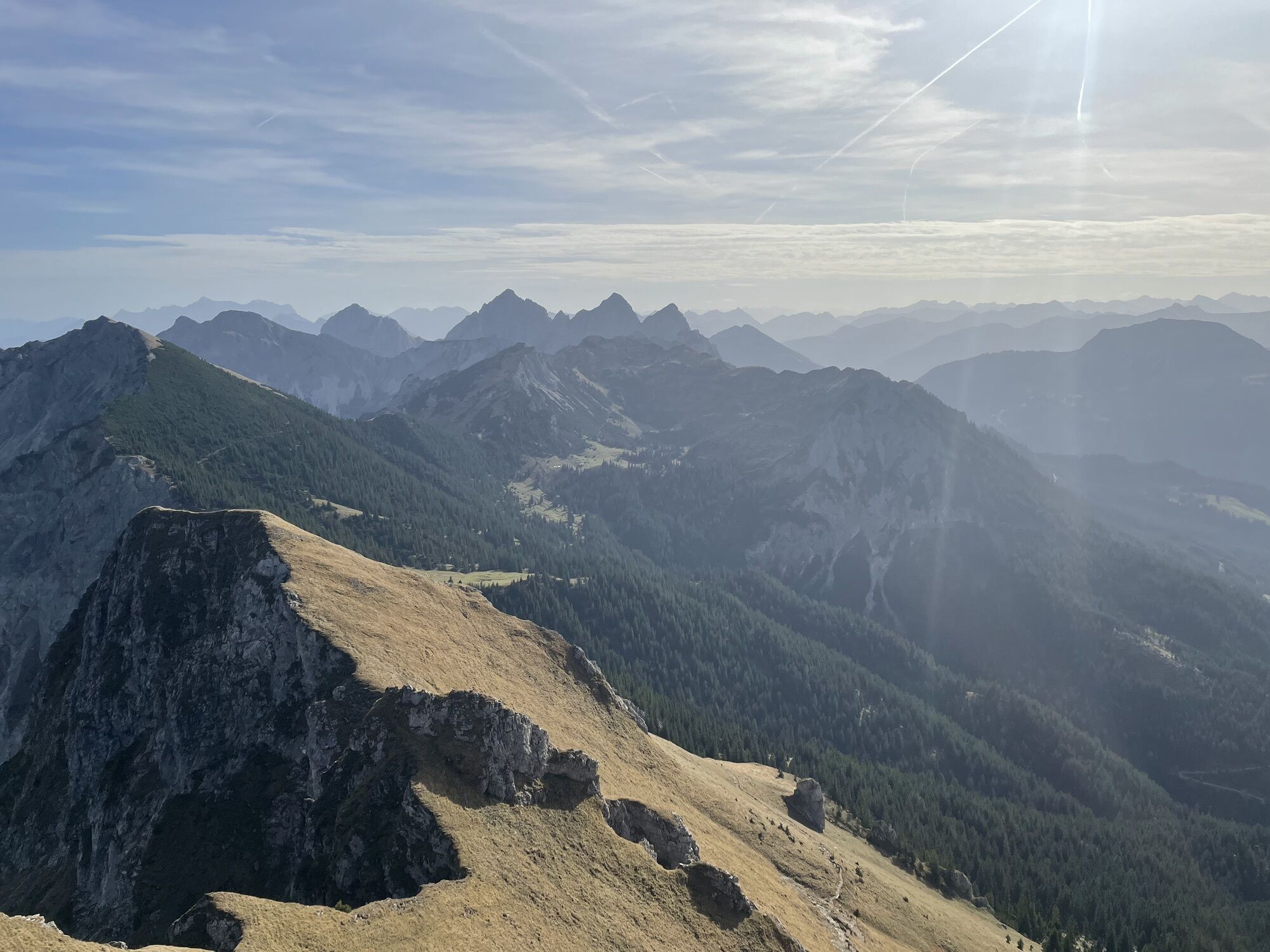
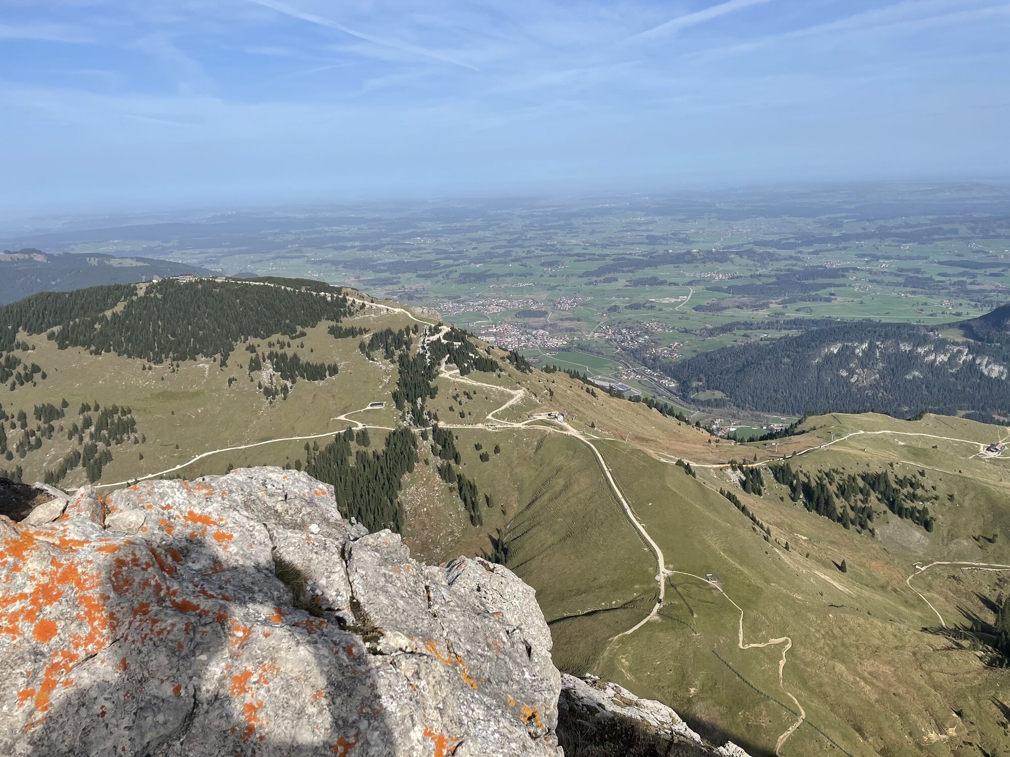
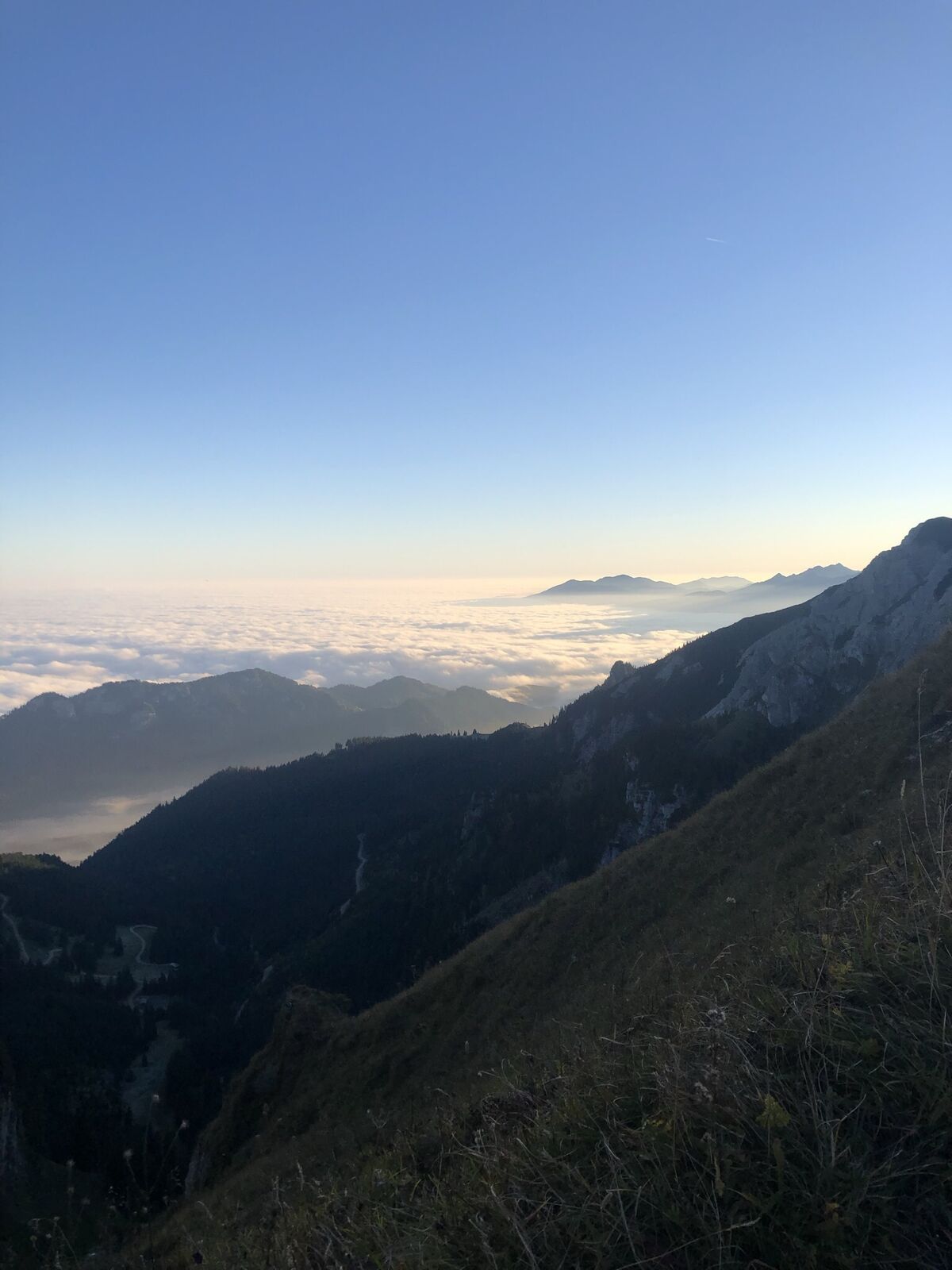
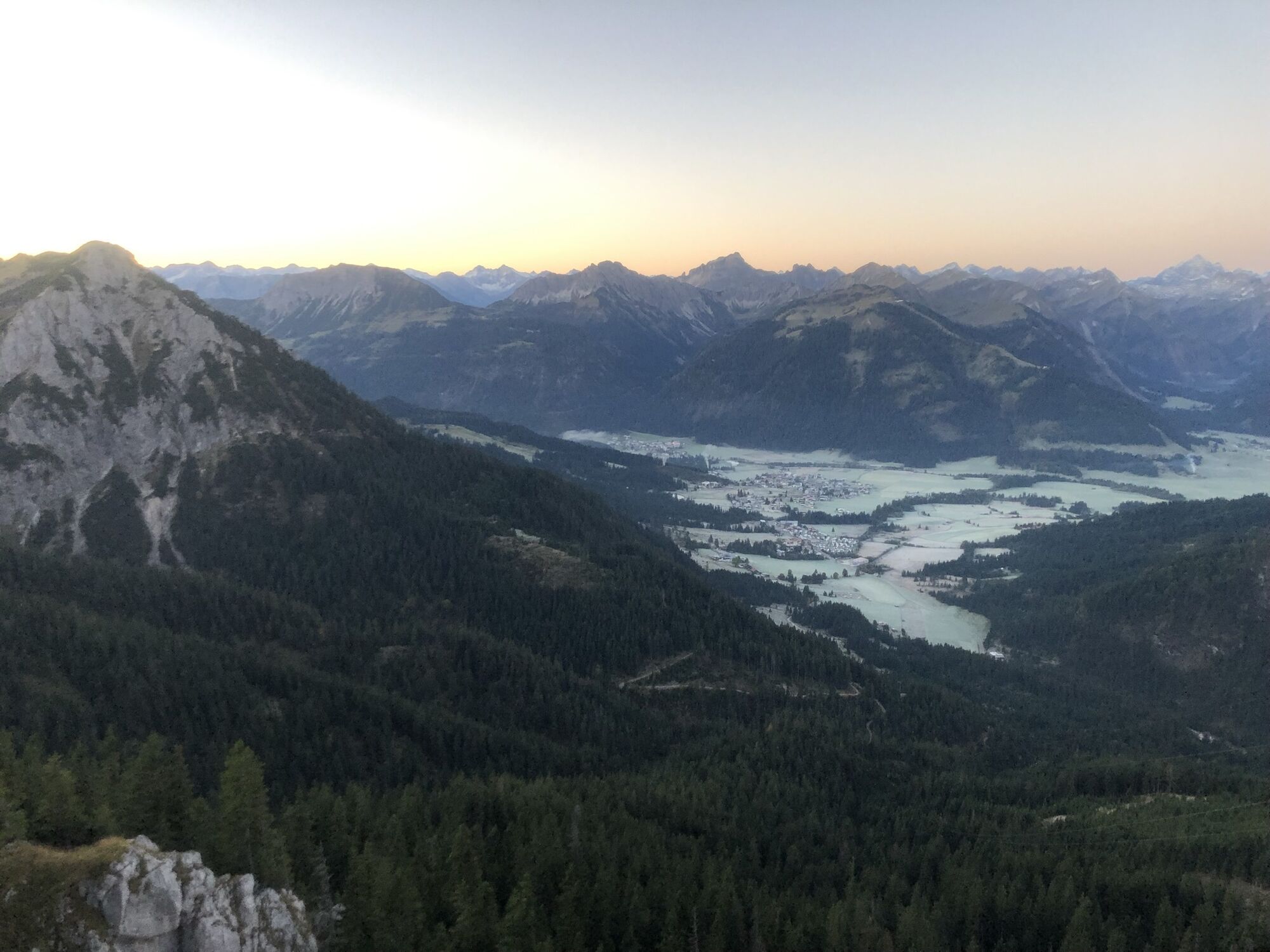
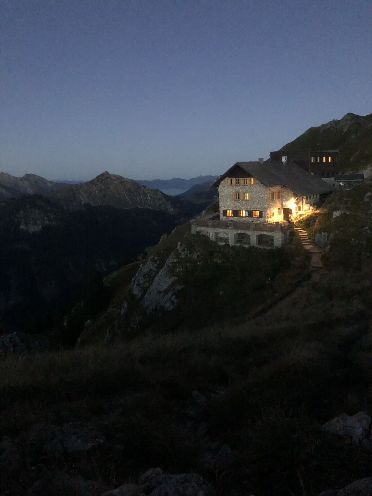
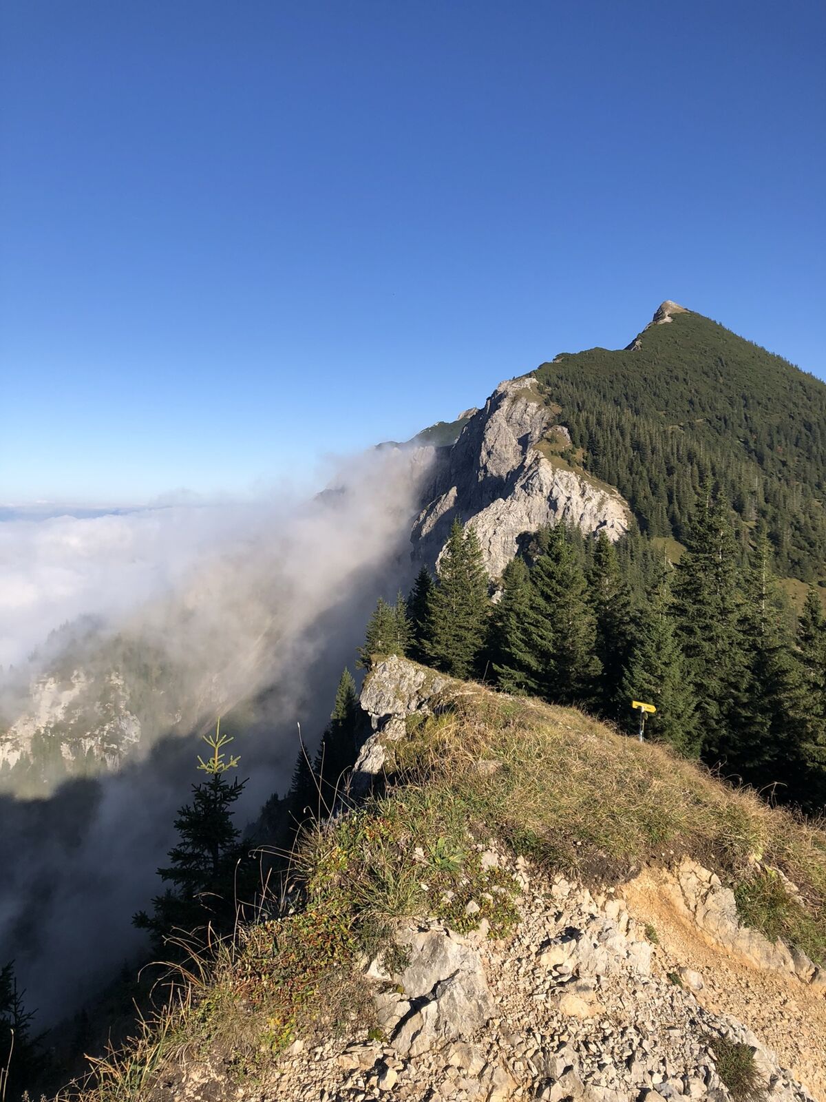
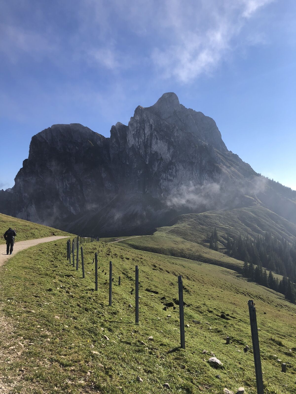
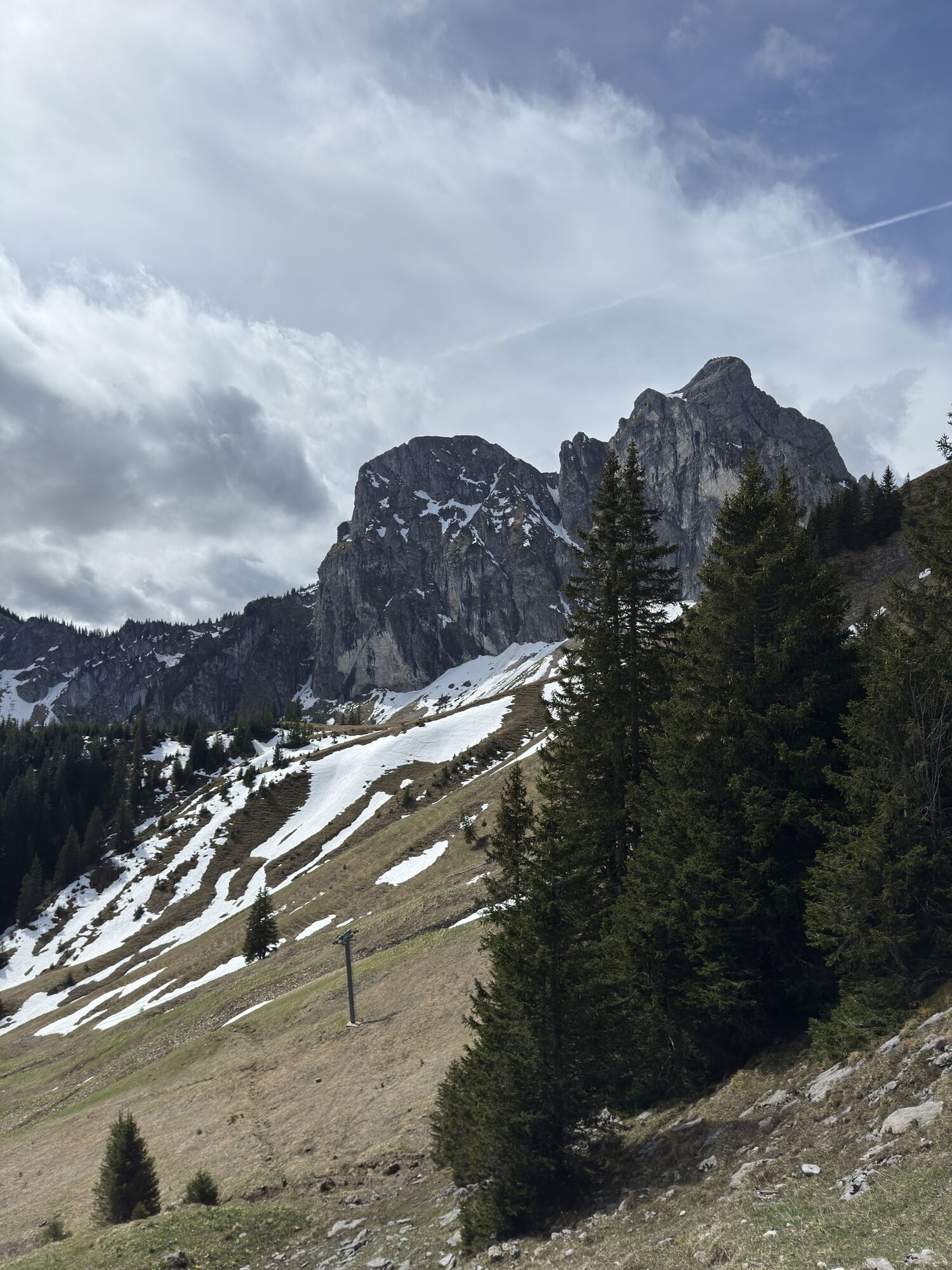
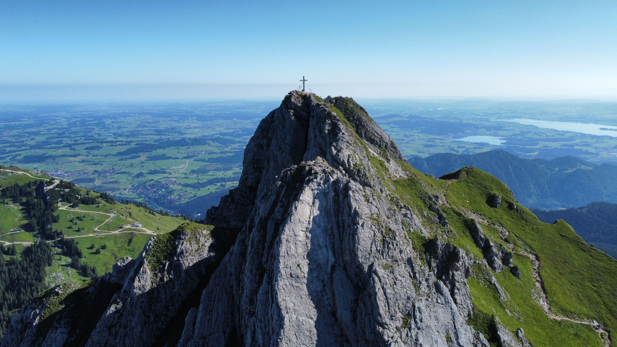
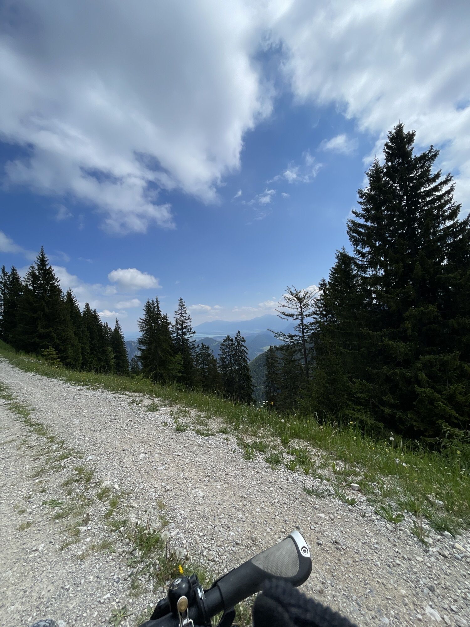
Photos from our users
-
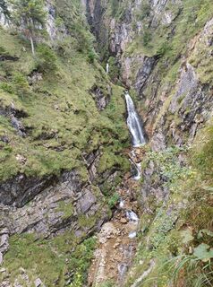
 © karlheinz adonisCreated on 08.09.2025
 -
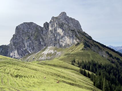
 © Margarita HildermannCreated on 07.09.2025
 -
 © Margarita HildermannCreated on 07.09.2025
 -
 © Margarita HildermannCreated on 07.09.2025
 -
 © Margarita HildermannCreated on 07.09.2025
 -
 © Margarita HildermannCreated on 07.09.2025
 -
 © Margarita HildermannCreated on 07.09.2025
 -
 © Tobias RudolphCreated on 24.08.2025
 -
 © Tobias RudolphCreated on 24.08.2025
 -

 © Anna AndrzejewskaCreated on 18.08.2025
 -
 © Anna AndrzejewskaCreated on 18.08.2025
 -
 © Thomas EderleCreated on 09.08.2025
 -
 © Thomas EderleCreated on 09.08.2025
 -
 © Hans Werner BallCreated on 27.06.2025
 -
 © Hans Werner BallCreated on 27.06.2025
 -
 © Hans Werner BallCreated on 27.06.2025
 -
 © xLeon-Alpin⛏️Created on 05.04.2025
 -
 © xLeon-Alpin⛏️Created on 05.04.2025
 -
 © xLeon-Alpin⛏️Created on 05.04.2025
 -
 © MattiCreated on 23.09.2024
 -
 © KatharinaCreated on 13.06.2024
 -
 © MattiCreated on 16.10.2023
 -
 © Ralf UmmingerCreated on 29.10.2022
 -
 © Ralf UmmingerCreated on 29.10.2022
 -
 © Ralf UmmingerCreated on 29.10.2022
 -
 © Ralf UmmingerCreated on 29.10.2022
 -
 © jurixCreated on 10.10.2021
 -
 © jurixCreated on 10.10.2021
 -
 © jurixCreated on 10.10.2021
 -
 © jurixCreated on 09.10.2021
 -
 © jurixCreated on 09.10.2021
 -
 © Dirk Rolf KitzeCreated on 21.04.2025
 -
 © Dirk Rolf KitzeCreated on 21.04.2025
 -
 © Dirk Rolf KitzeCreated on 21.04.2025
 -
 © Szuki76Created on 10.08.2024
 -
 © lotharkoernerCreated on 12.06.2023
 -
 © lotharkoernerCreated on 12.06.2023
 -
 © lotharkoernerCreated on 12.06.2023
 -
 © lotharkoernerCreated on 20.06.2022
 -
 © lotharkoernerCreated on 20.06.2022


No reviews yet
Popular tours in the neighbourhood
-
4.2
Three-lake route (awarded the Tyrolean Hiking Trail Seal of Quality)
mediumHiking 14.8 km -
4.2
Höllschlucht hike » Water & Forest
mediumHiking 7.38 km -
4.6
3-Seen Rundtour Vilsalpsee / Schrecksee / Traualpsee
mediumHiking 17.1 km -
4.8
3-Gipfel-Tour
mediumHiking 11.2 km -
4.5
Mountain hike to the Aggenstein
heavyHiking 15.3 km -
4.0
From Tannheim to the Sulzspitze
mediumHiking 15.6 km -
4.8
Around Weißensee
lightHiking 6.12 km -
5.0
Hiking tour to Breitenberg
heavyHiking 15.6 km -
5.0
Gemeinde Grän, Tirol/Österreich Aggenstein Rundtour über Höhenweg
mediumHiking 9.84 km -
4.8
To the Bad Kissinger Hut via the Gräner Höhenweg
mediumHiking 13.0 km

Hiking & Tracking

Over 550.000 tour suggestions, detailed maps and an intuitive route planner make the app a must-have for all nature enthusiasts.

Don't miss out on offers and inspiration for your next holiday
Subscribe to the newsletter
Error
An error has occurred. Please try again.
Thank you for your registration
Your e-mail address has been added to the mailing list.
Tours throughout Europe
Austria
Switzerland
Germany
Italy
Slovenia
France
Netherlands
Belgium
Poland
Liechtenstein
Czechia
Slovakia
Spain
Croatia
Bosnia and Herzegovina
Luxembourg
Andorra
Portugal
Iceland
United Kingdom
Ireland
Greece
Albania
North Macedonia
Malta
Norway
Montenegro
Moldova
Kosovo
Hungary
San Marino
Romania
Estonia
Latvia
Belarus
Cyprus
Lithuania
Serbia
Bulgaria
Monaco
Denmark
Sweden
Finland