Hauzenberg - pai di sotto
Mountainbike
Navigate
Navigate
Get this tour on your mobile
Hauzenberg - pai di sotto
Mountainbike
564.45
km
Scan the QR code and start navigation in the bergfex app

Hiking & Tracking


Distance
564.45
km
Duration
34:52
h
Ascent
5,378
m
Sea level
66 -
1,384
m
Track download
Hauzenberg - pai di sotto
Mountainbike
564.45
km


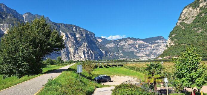
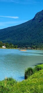
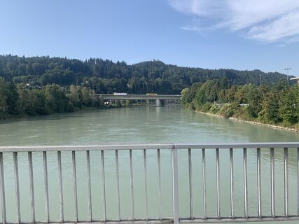
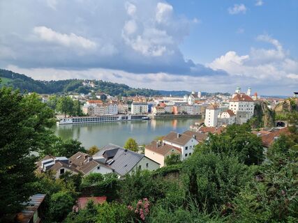
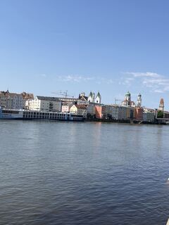
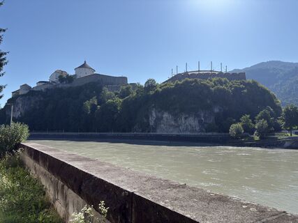
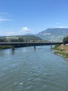
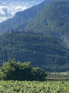
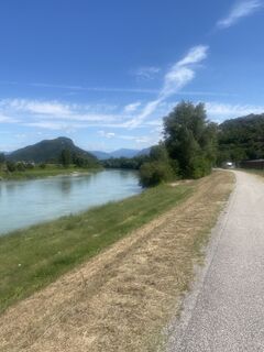
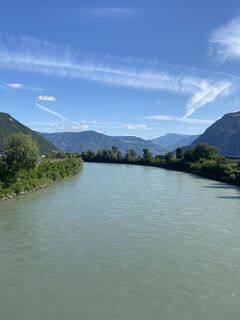
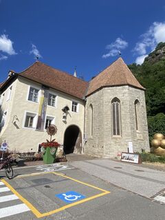
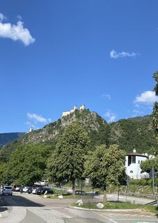
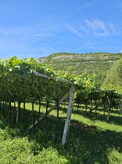
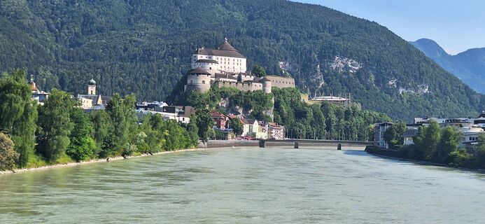
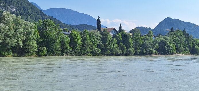
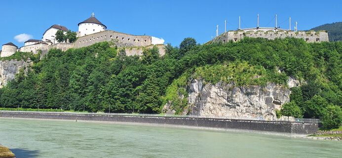
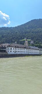
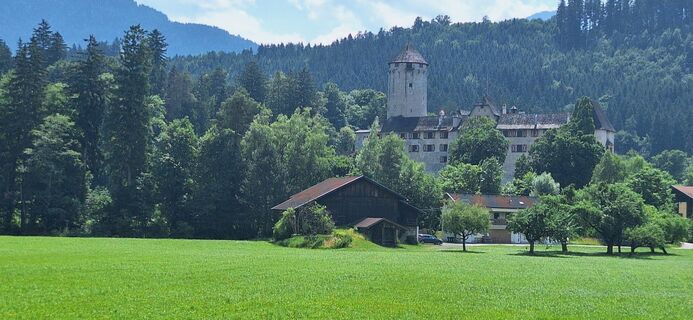
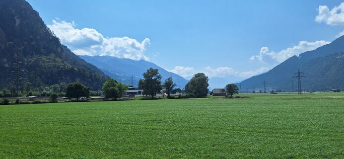
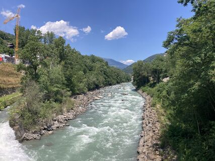
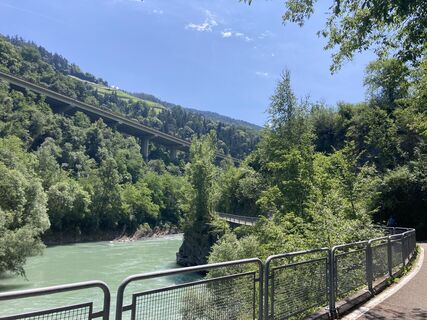
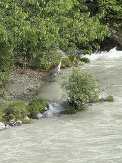
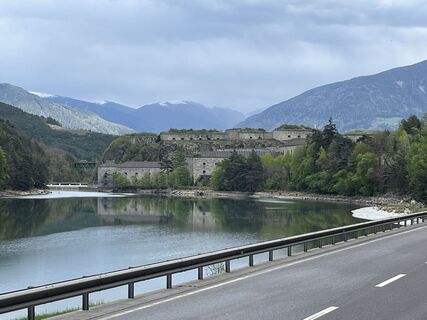
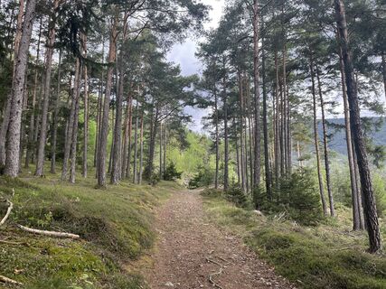
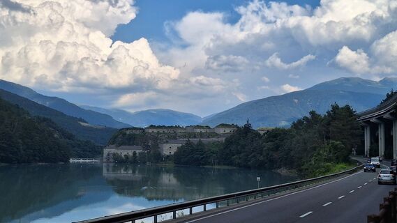
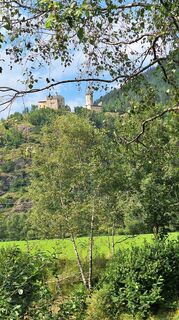
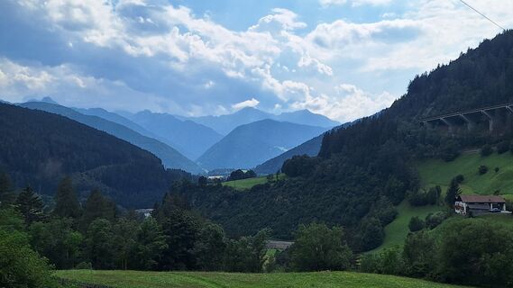
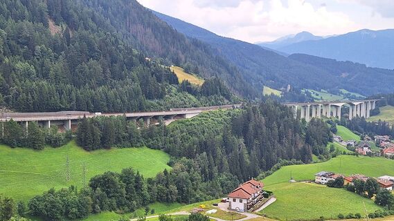
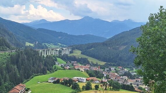
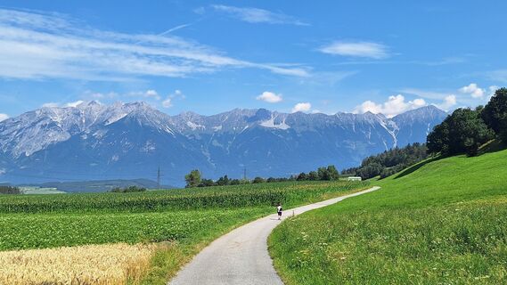
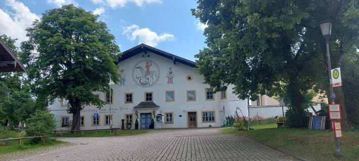
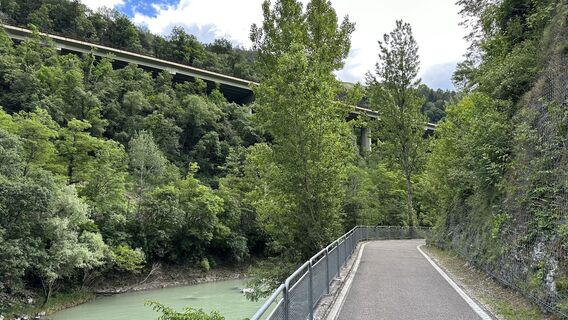
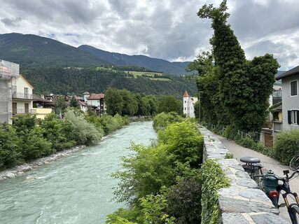
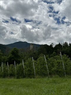
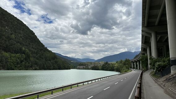
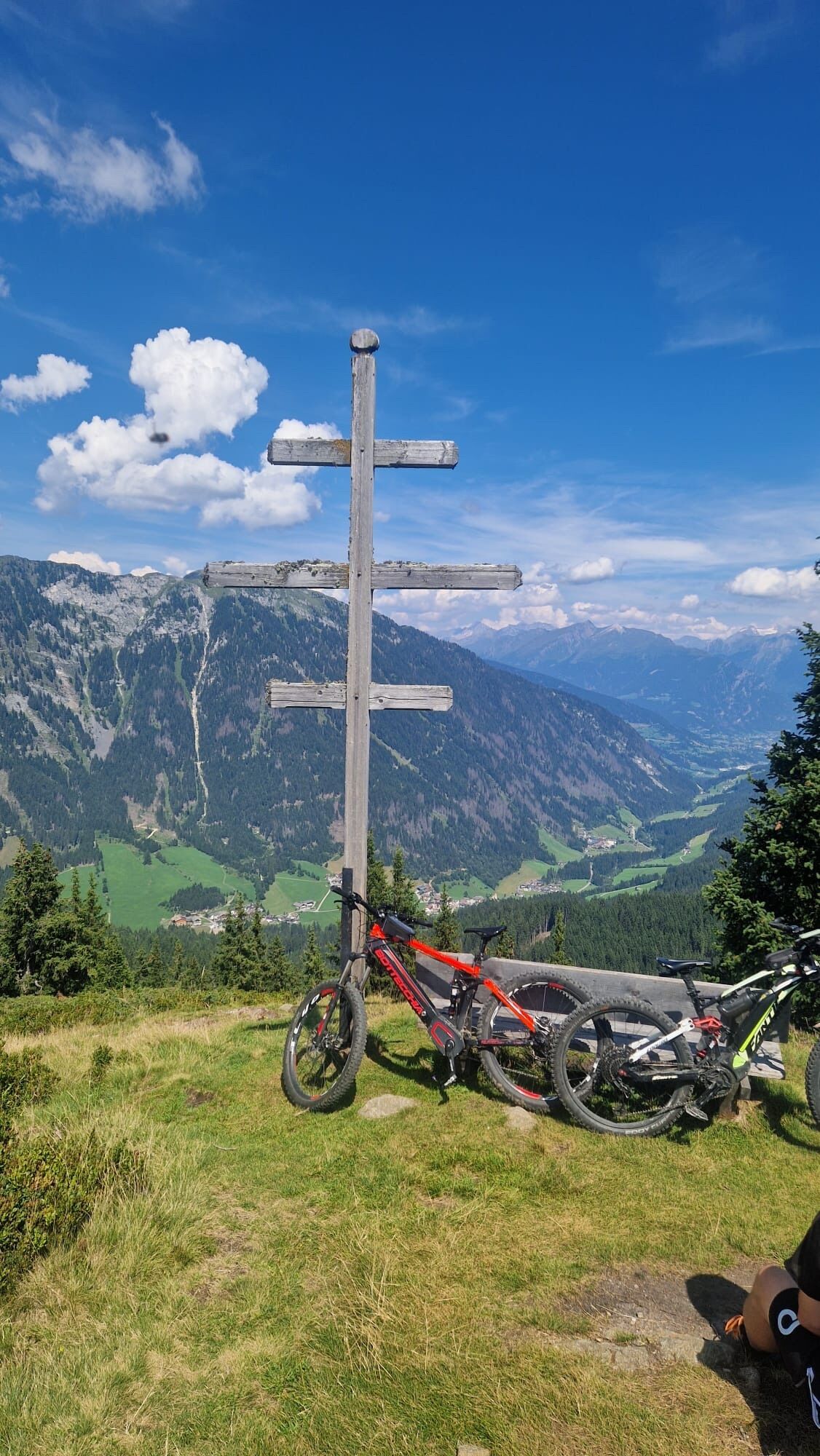
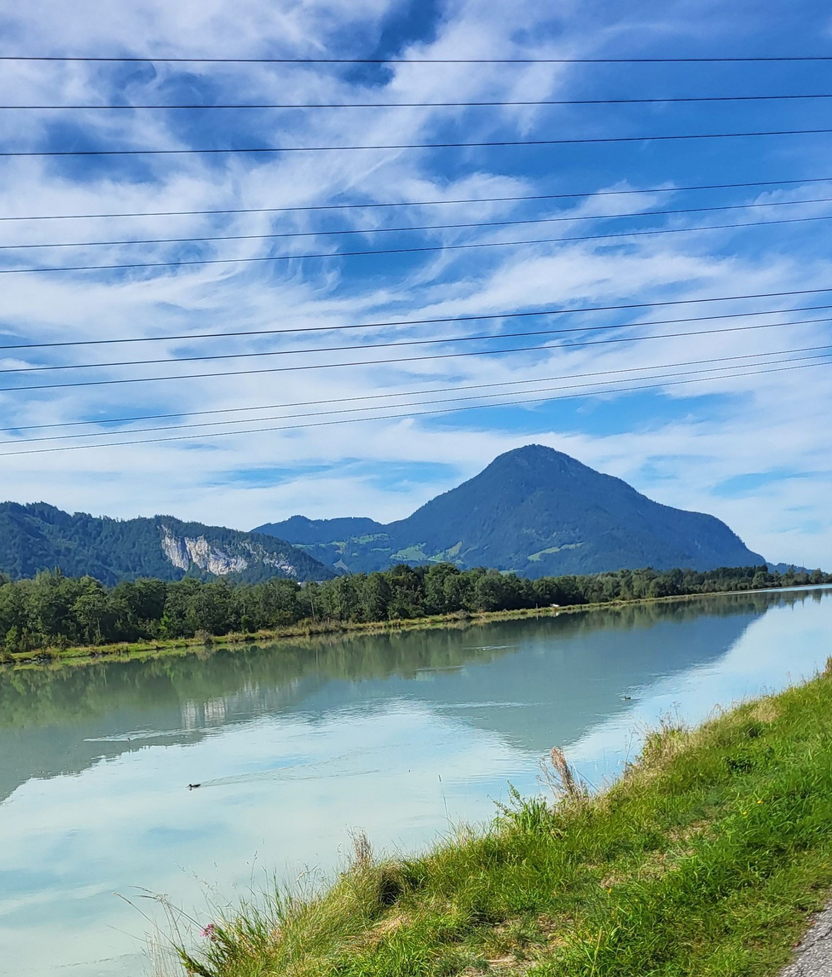
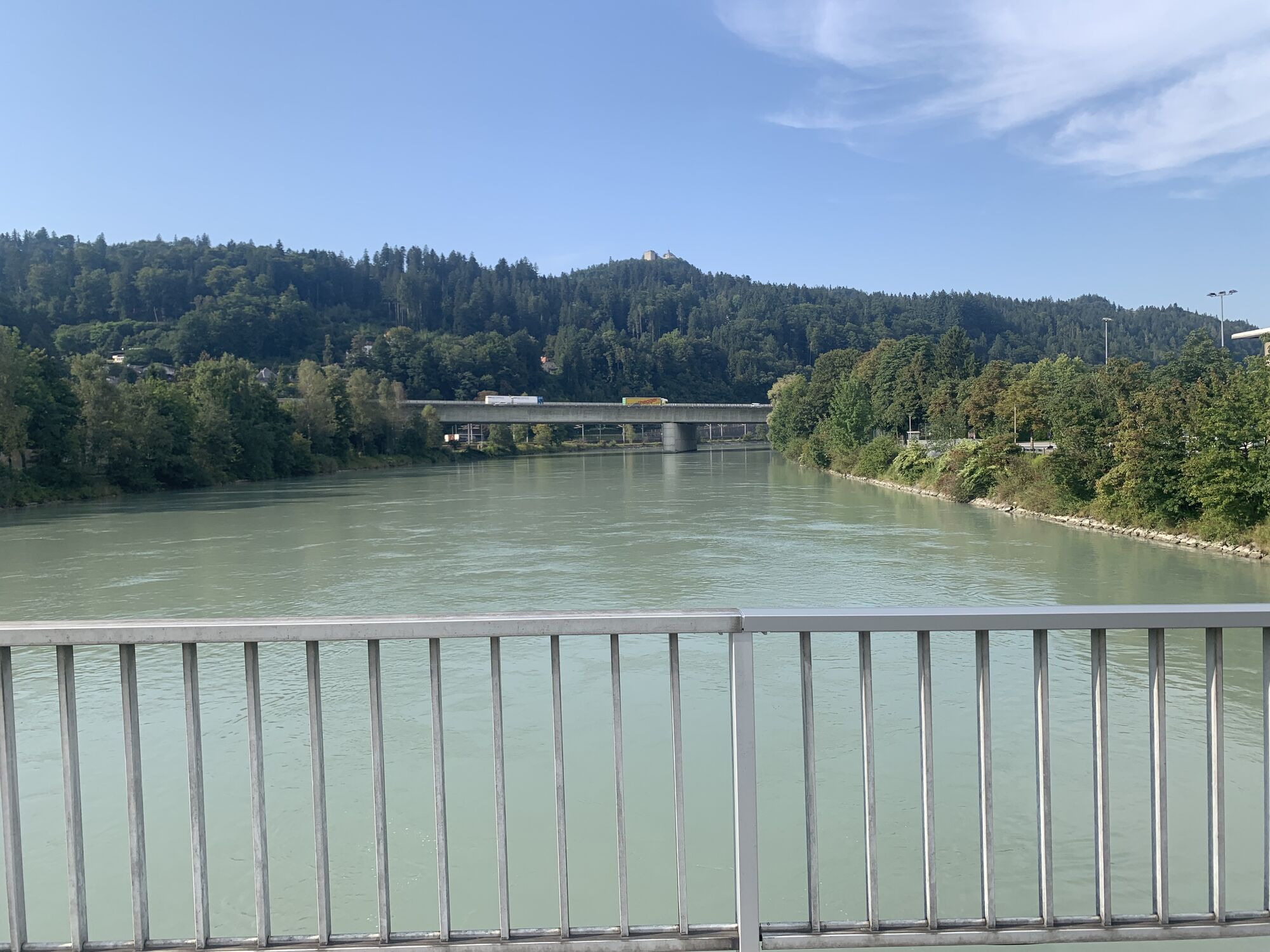
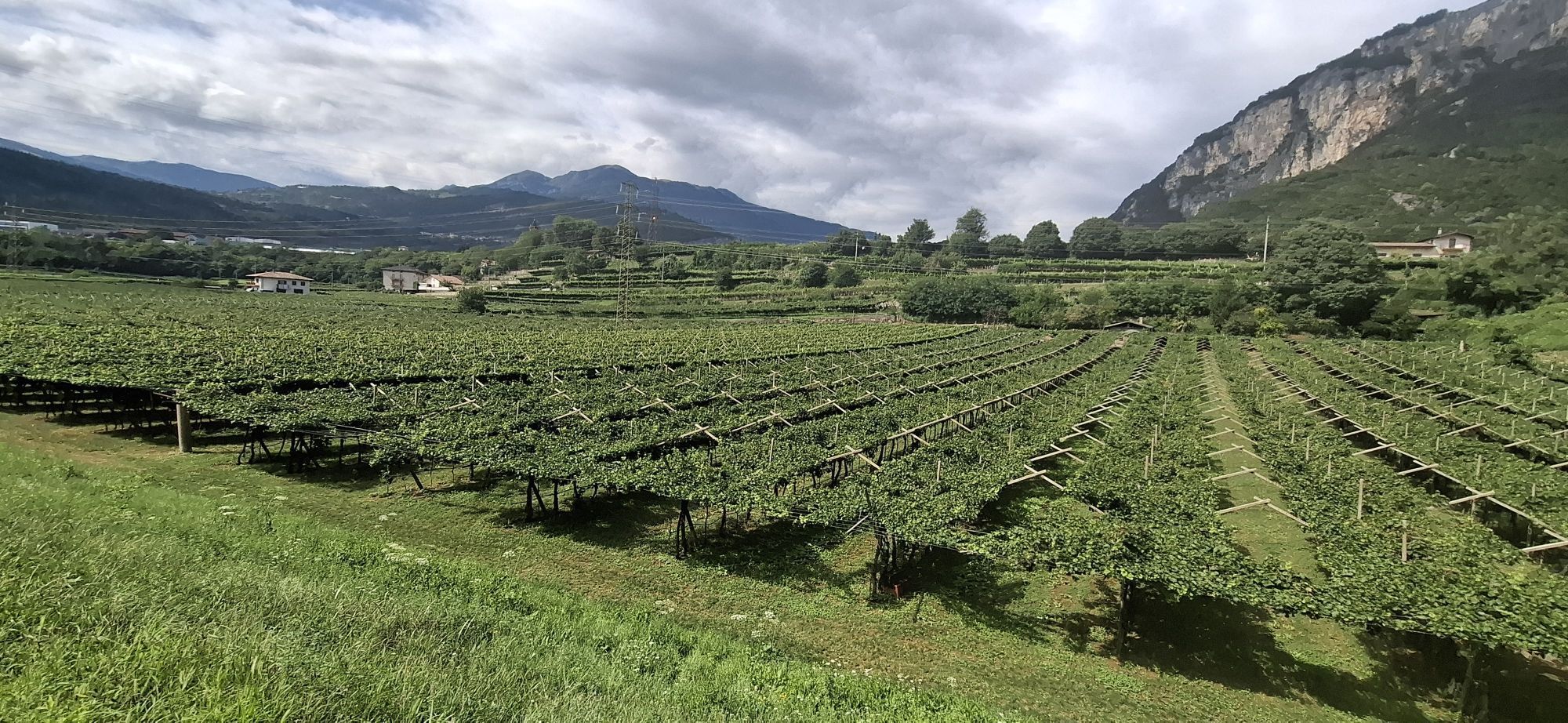
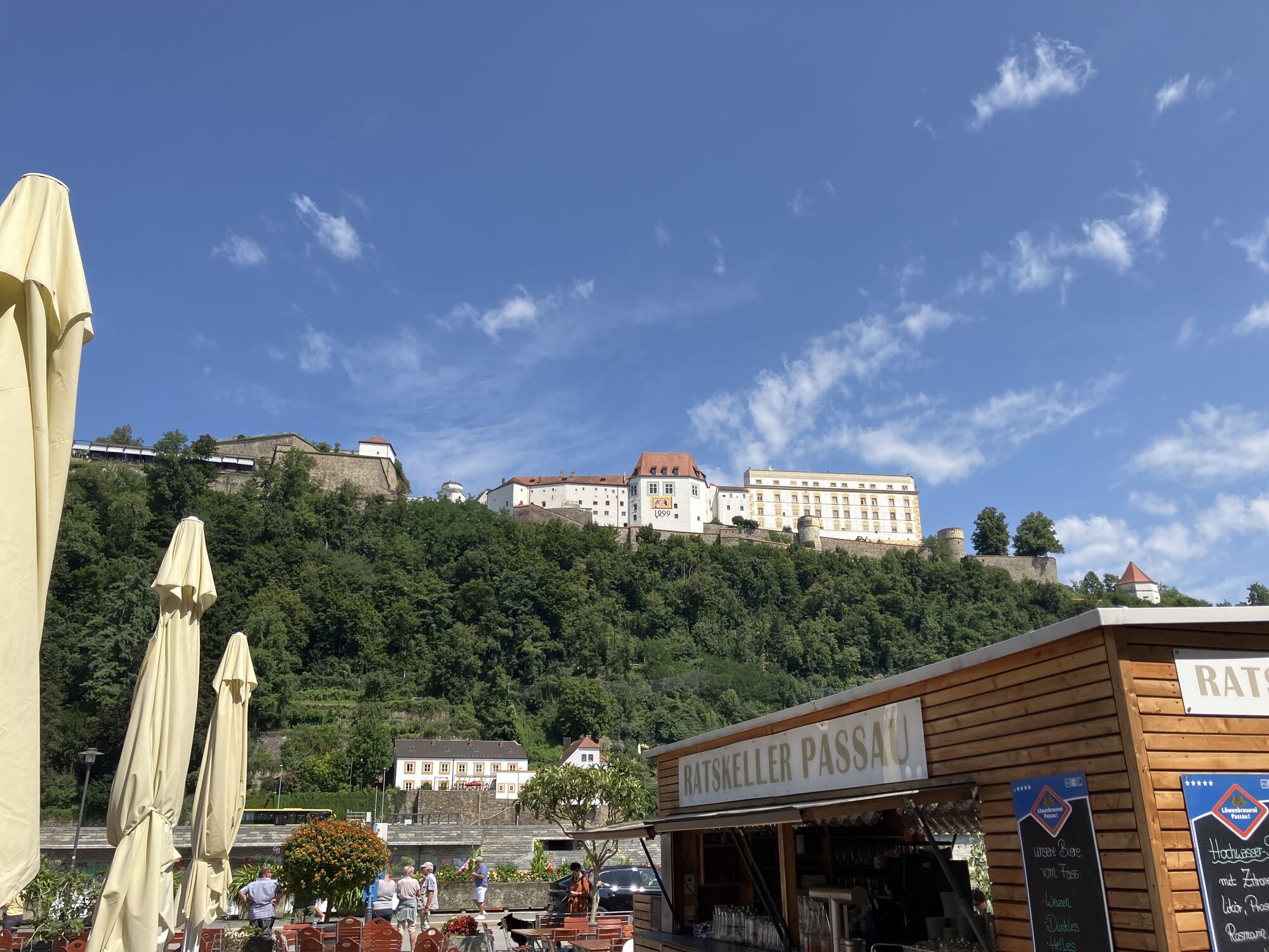
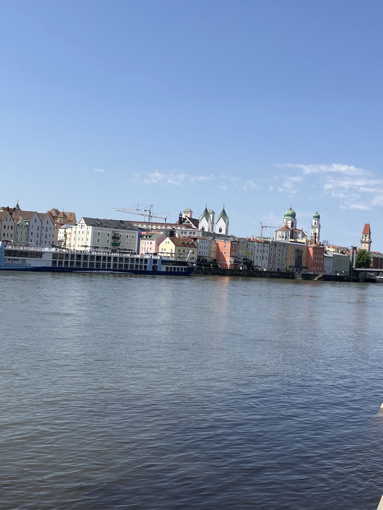
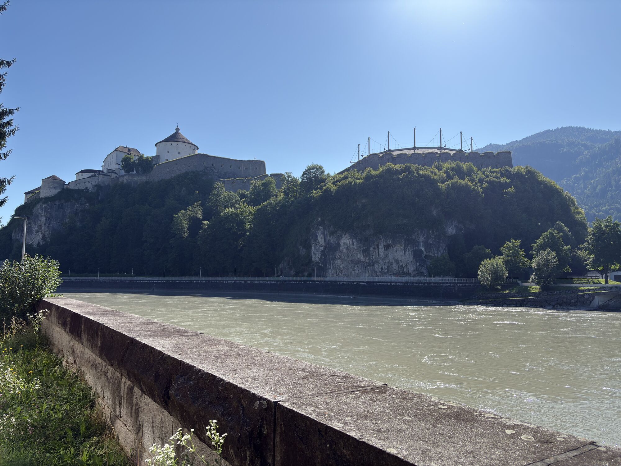
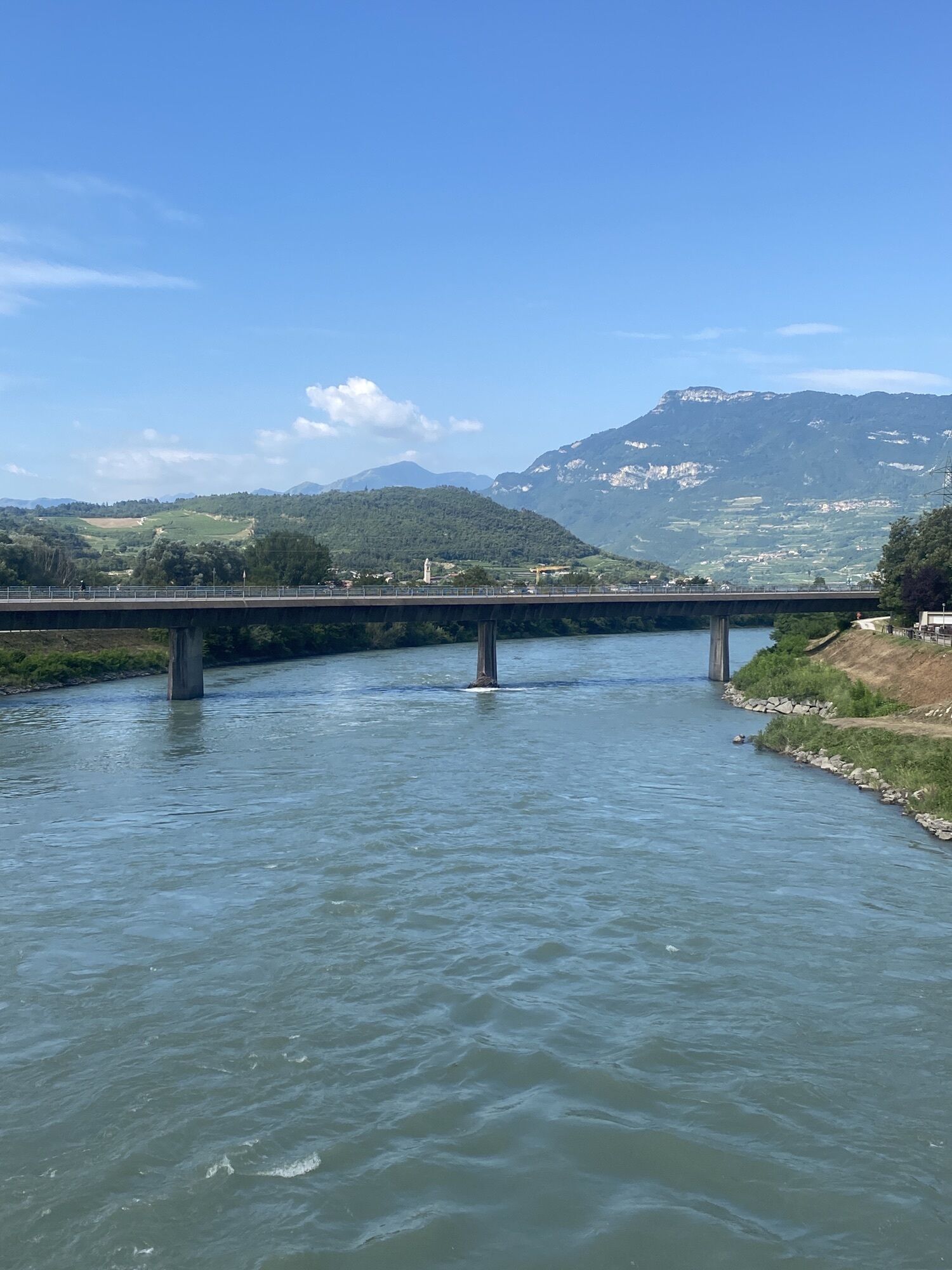
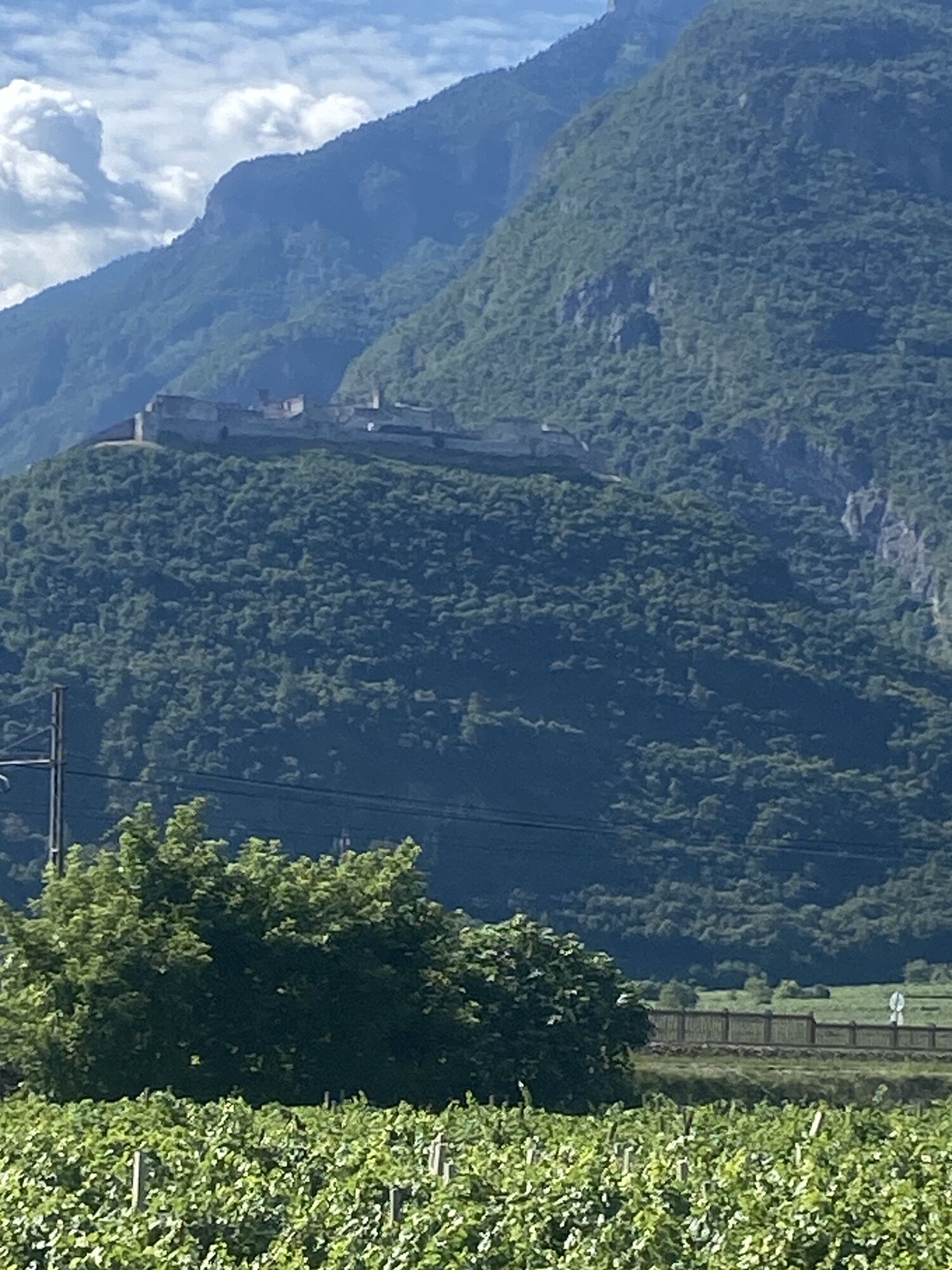
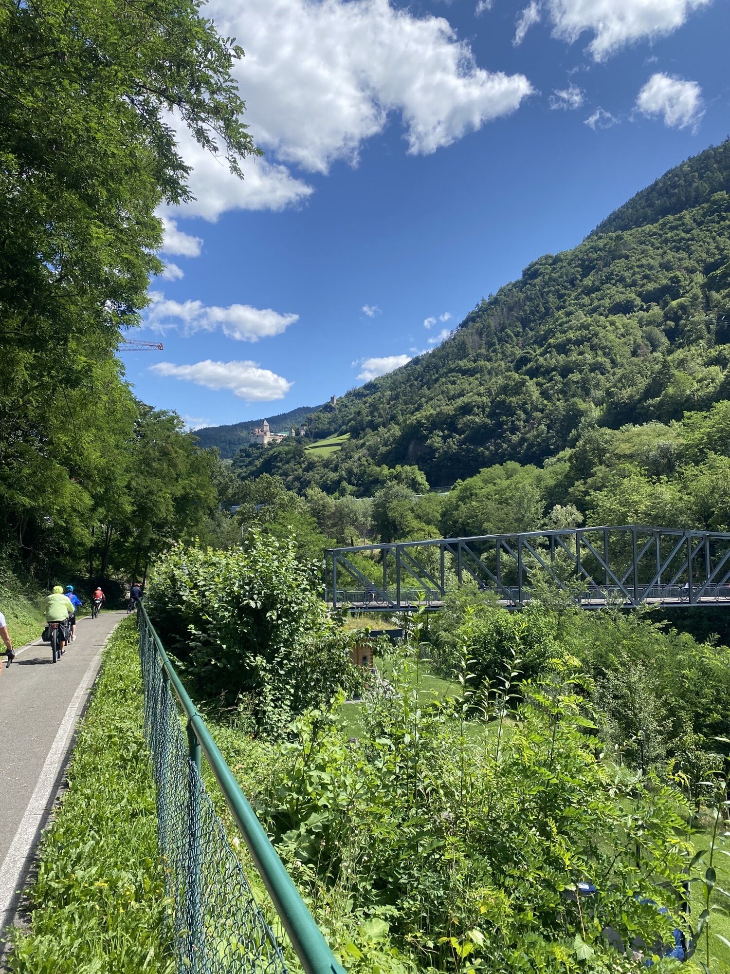
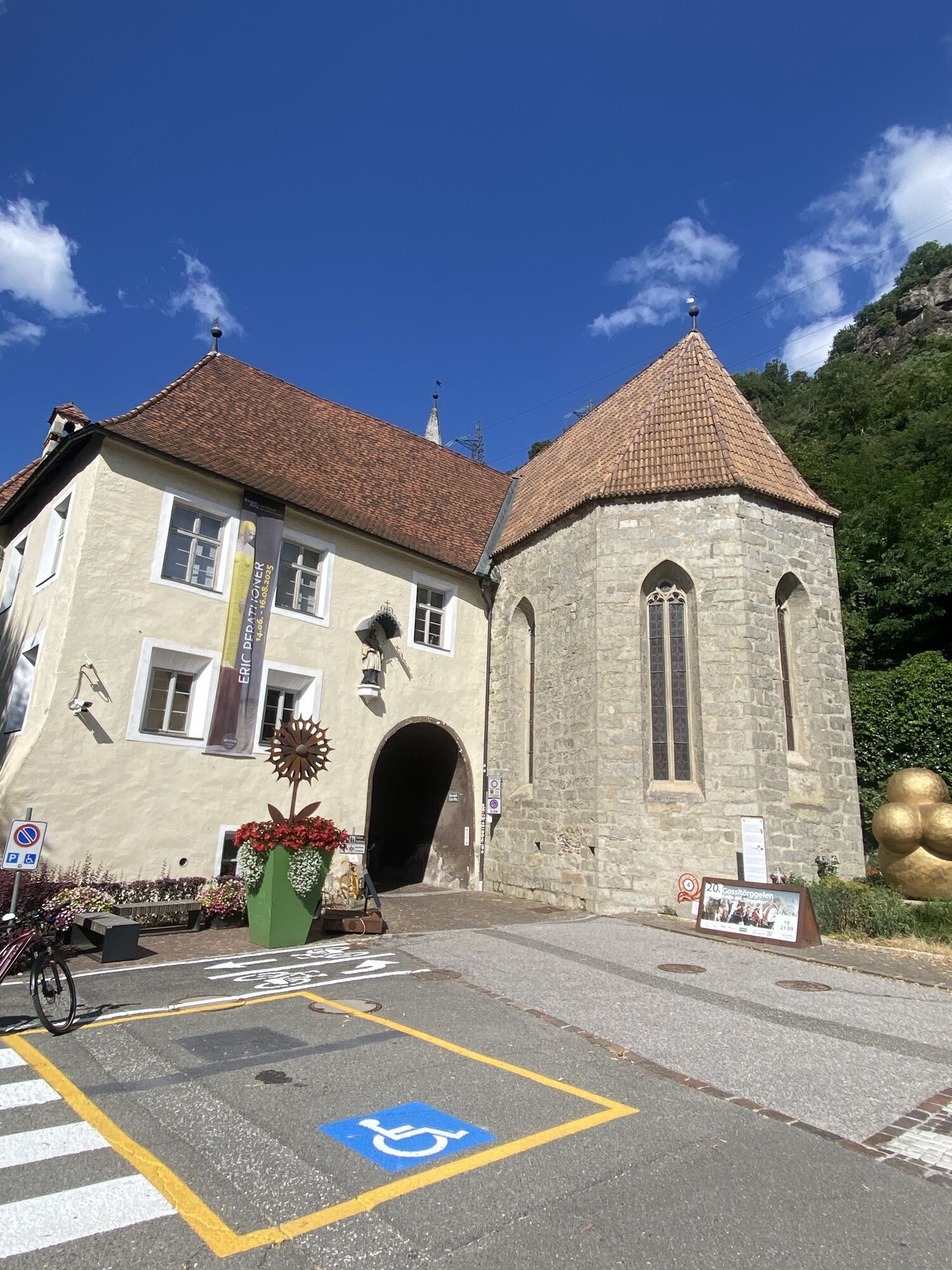
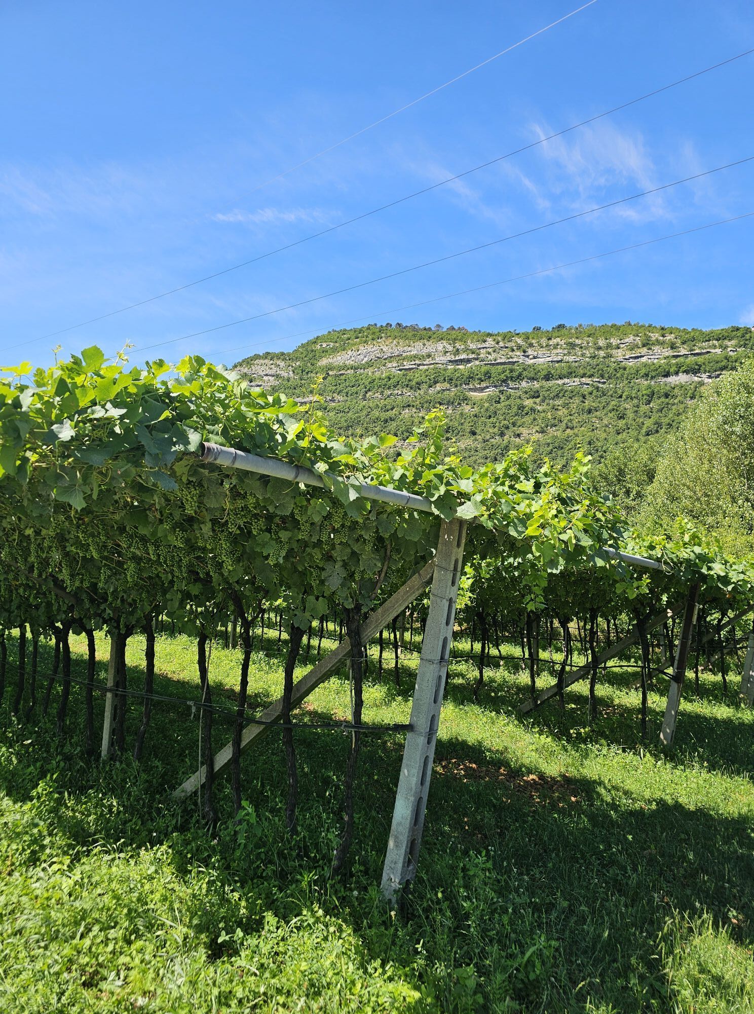
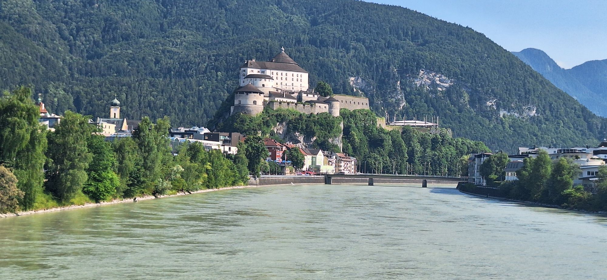
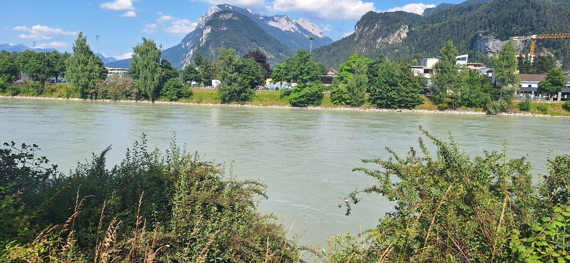
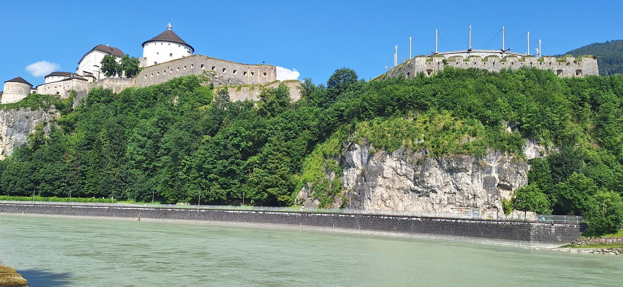
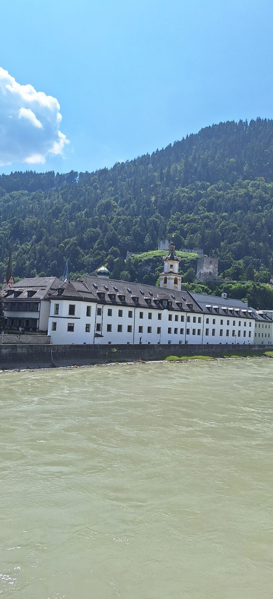
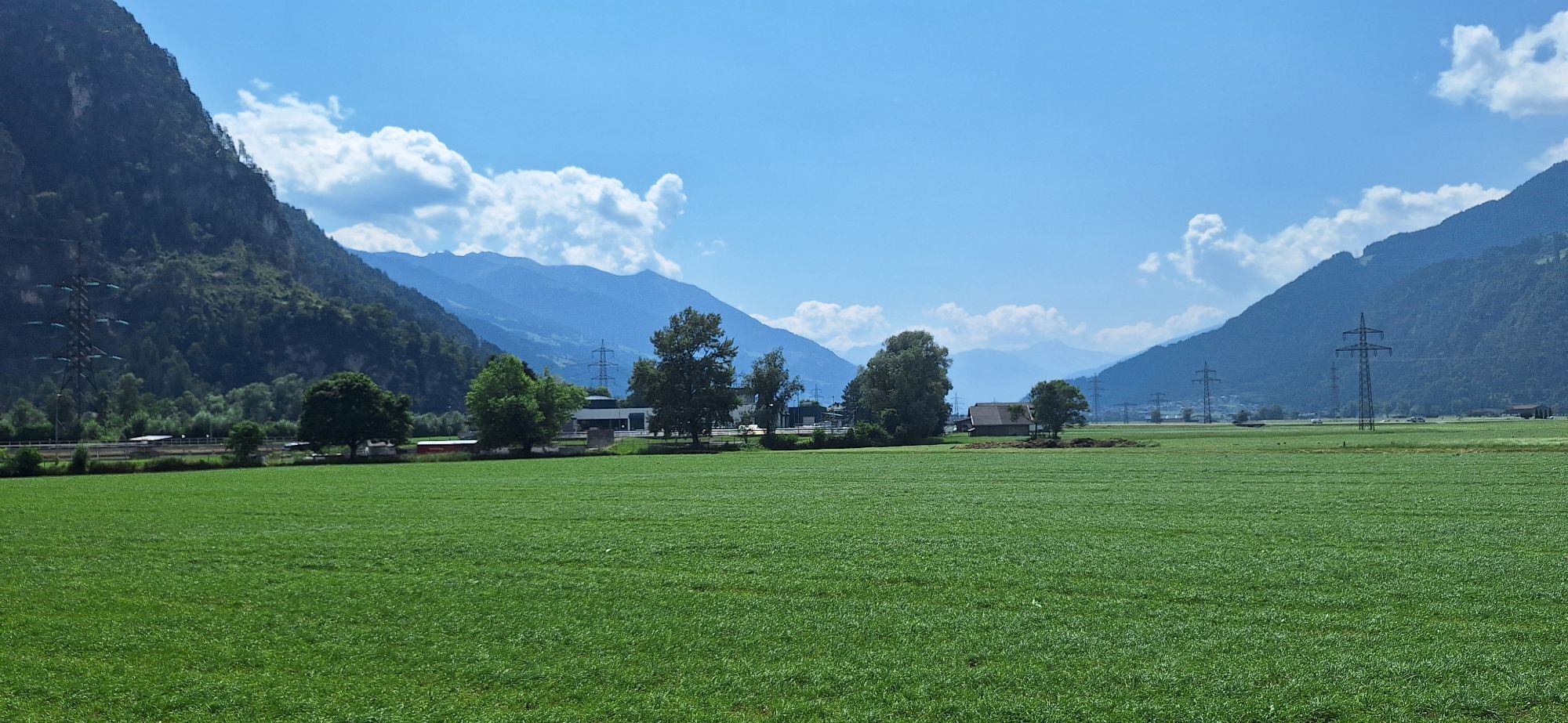
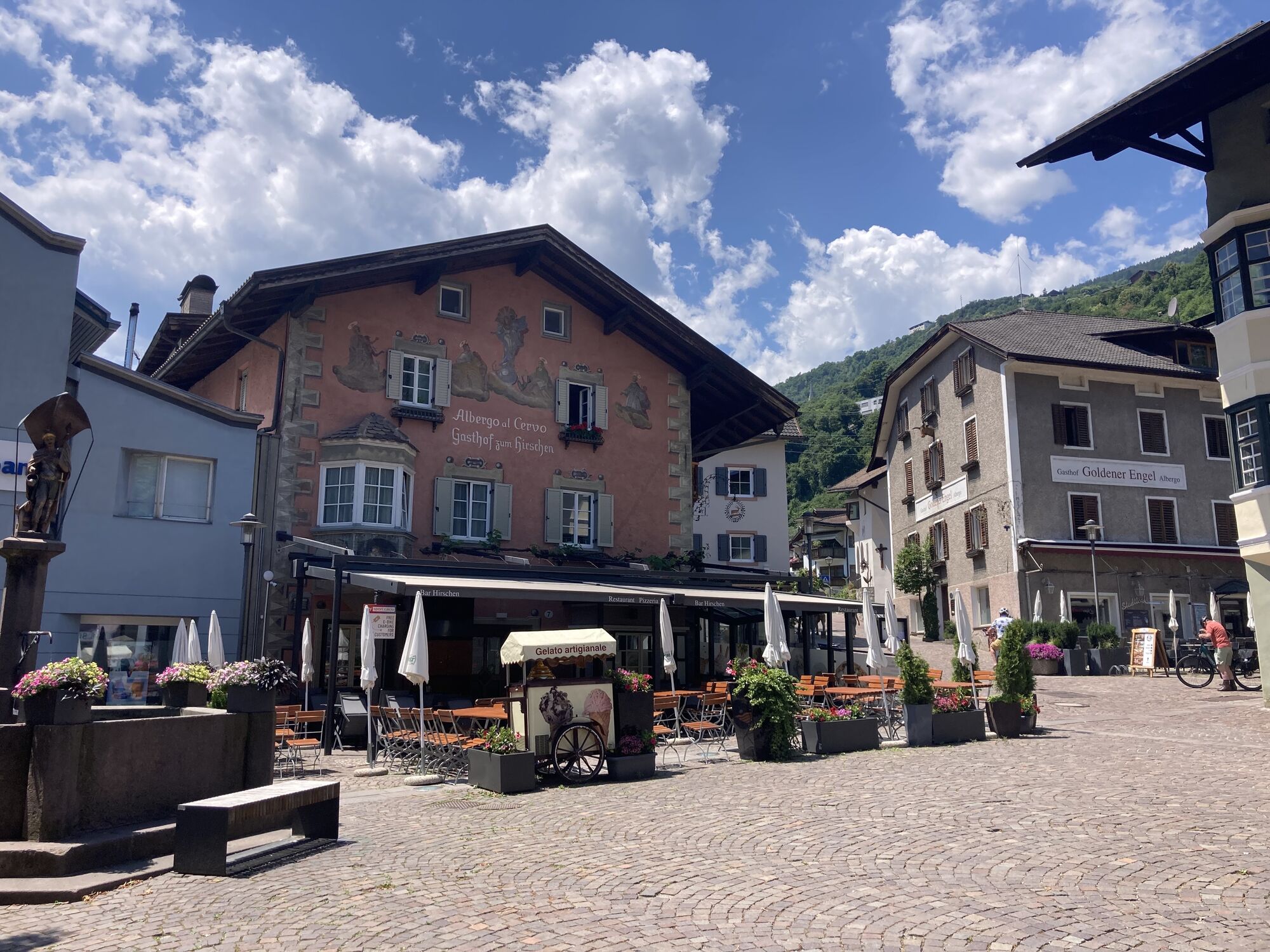
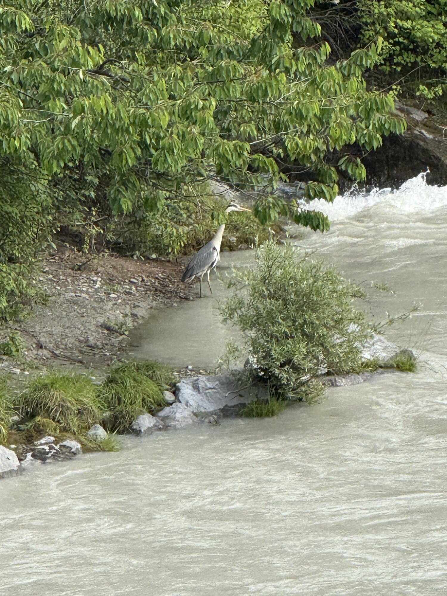
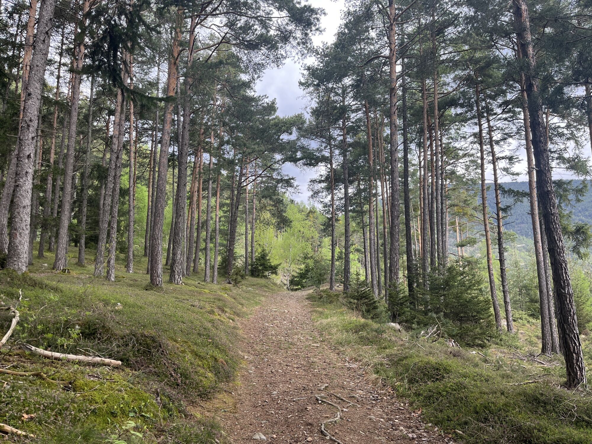
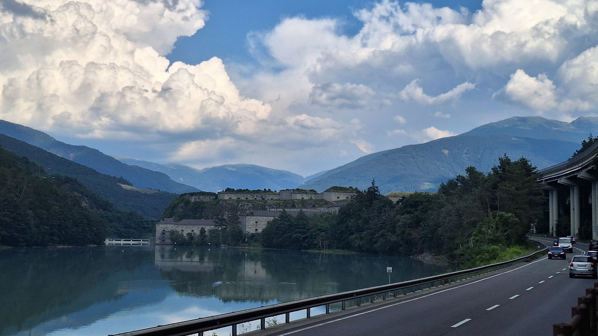
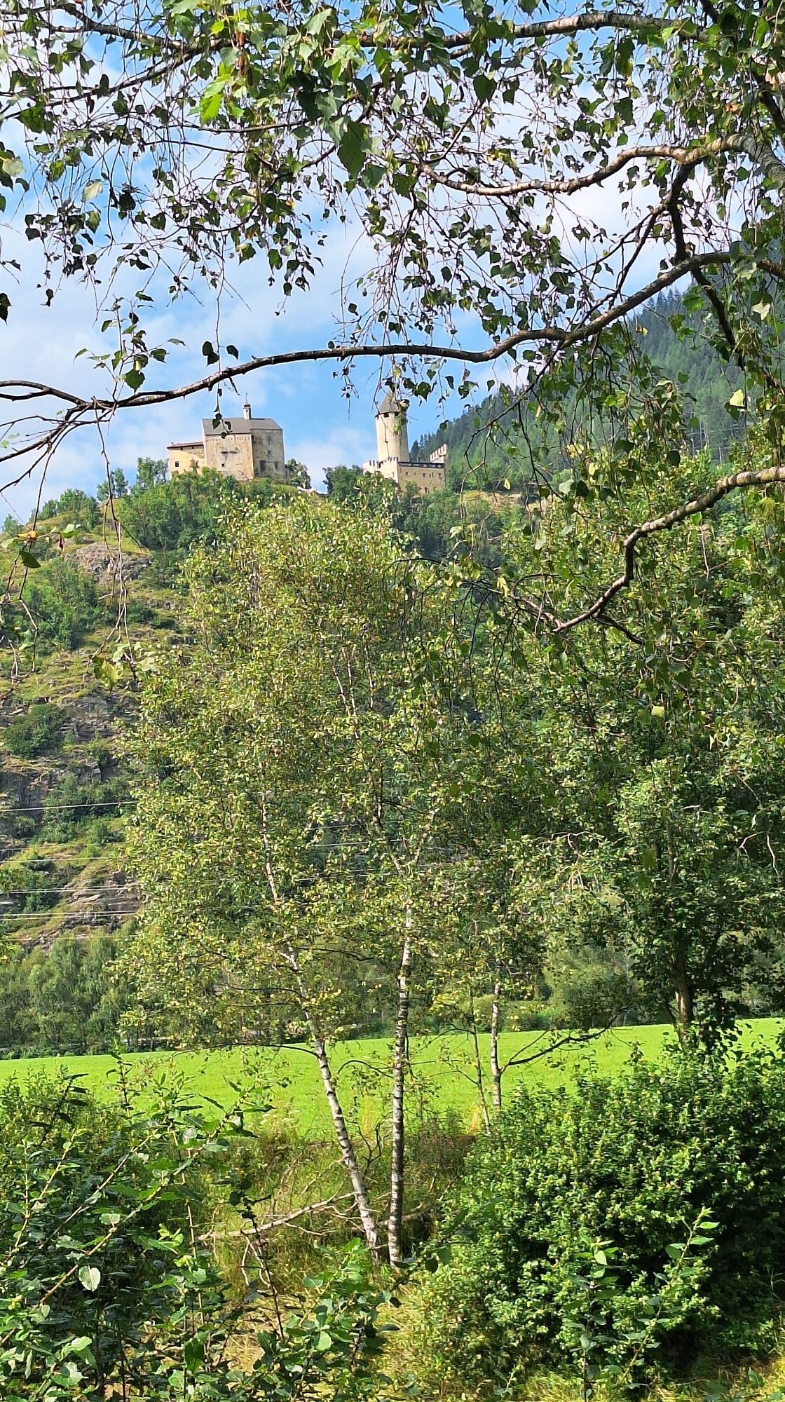
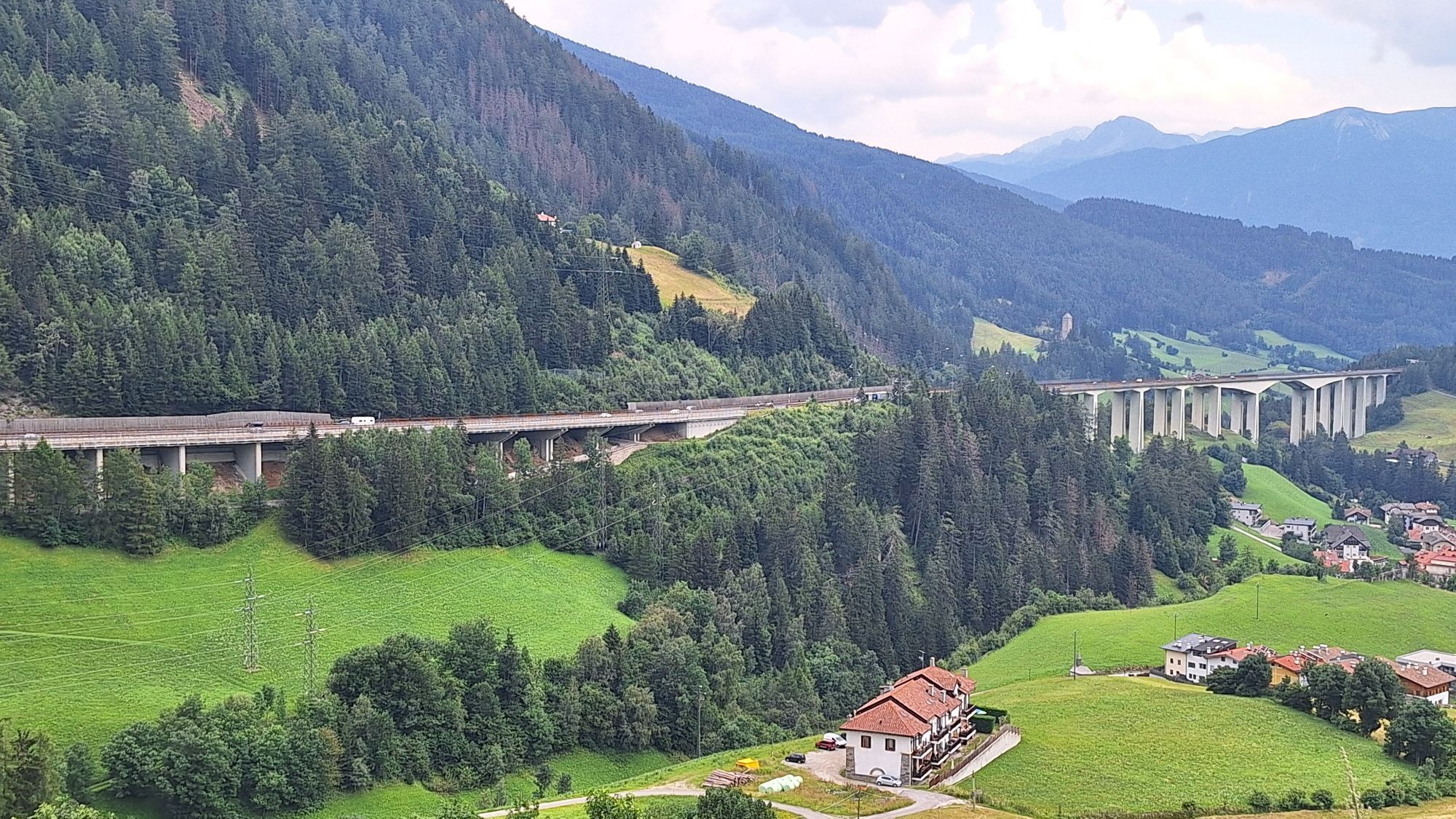
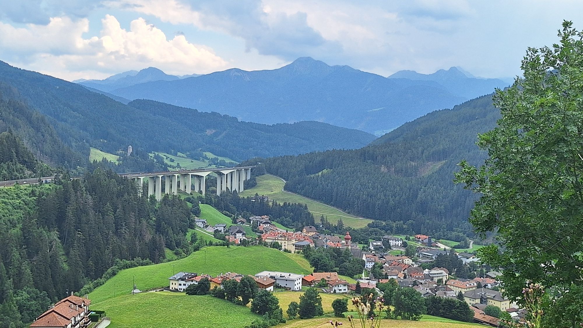
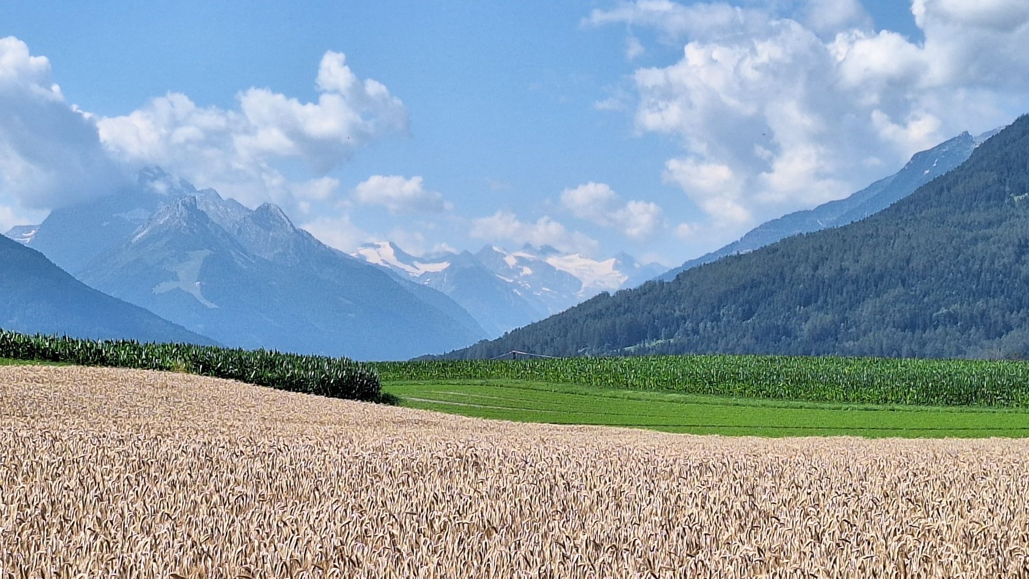
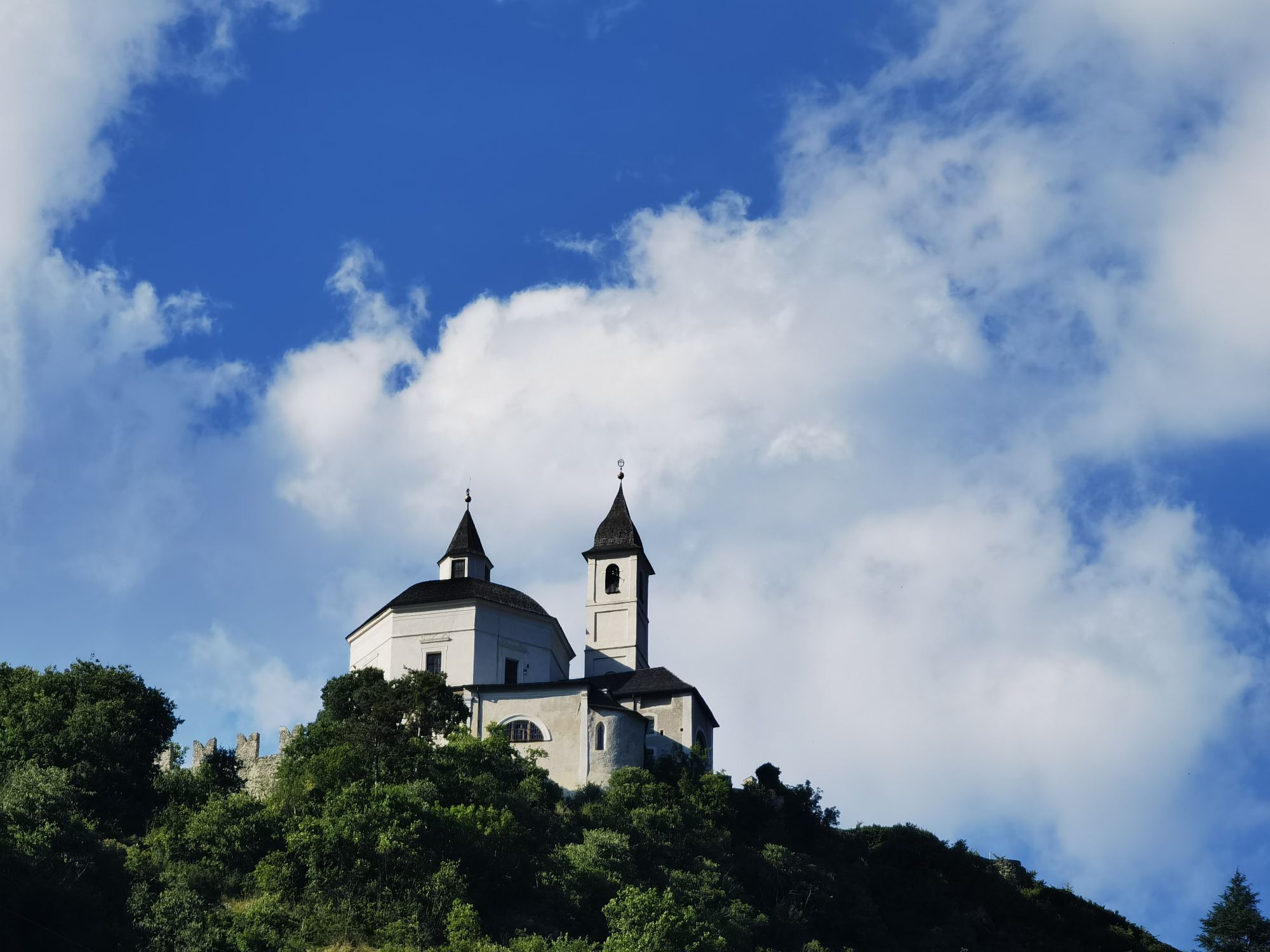
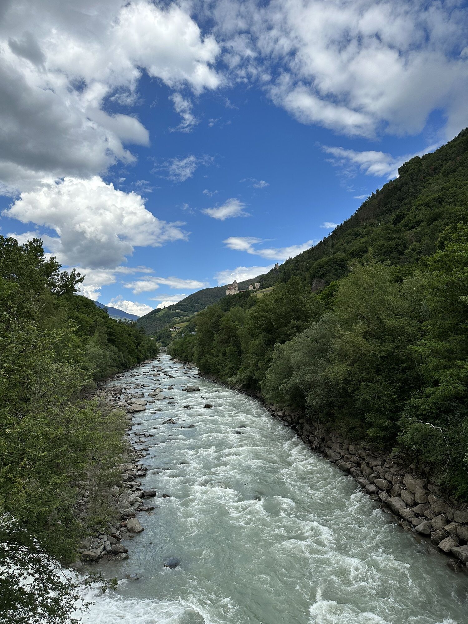
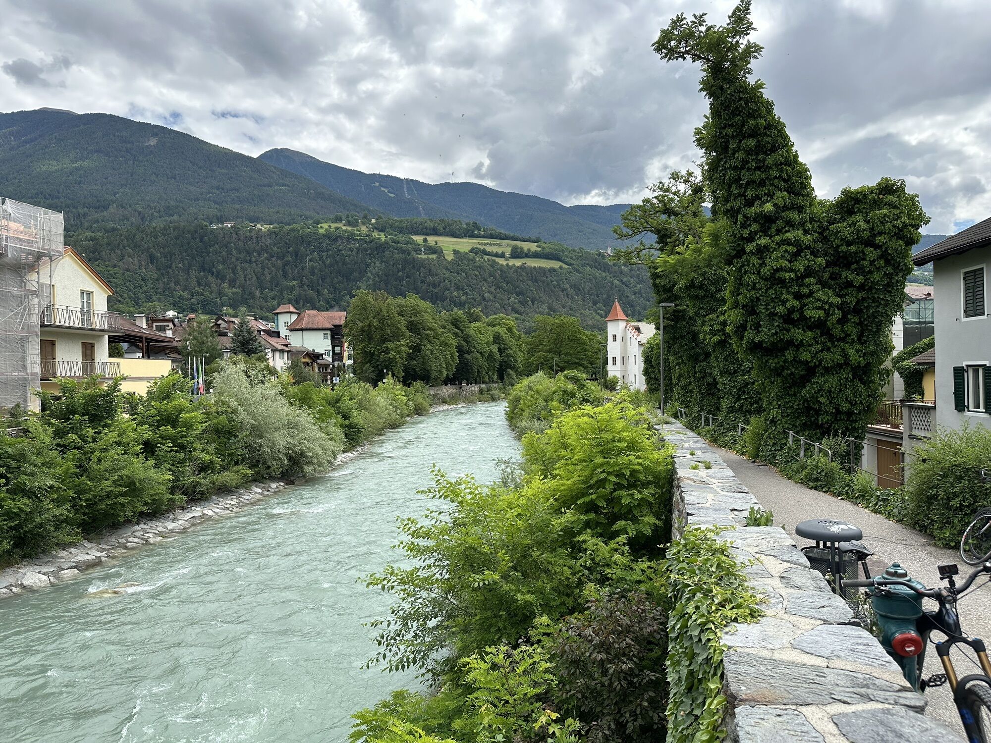
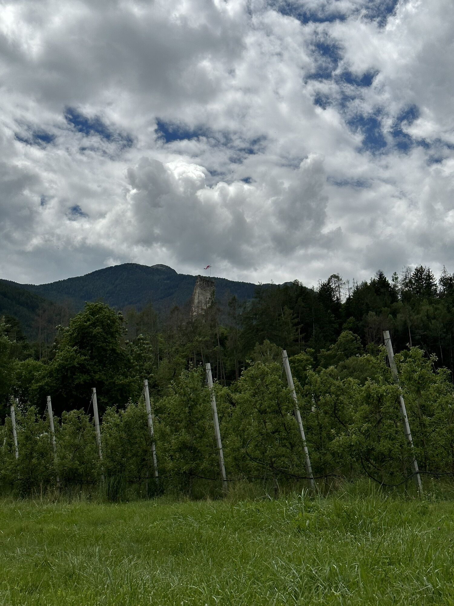
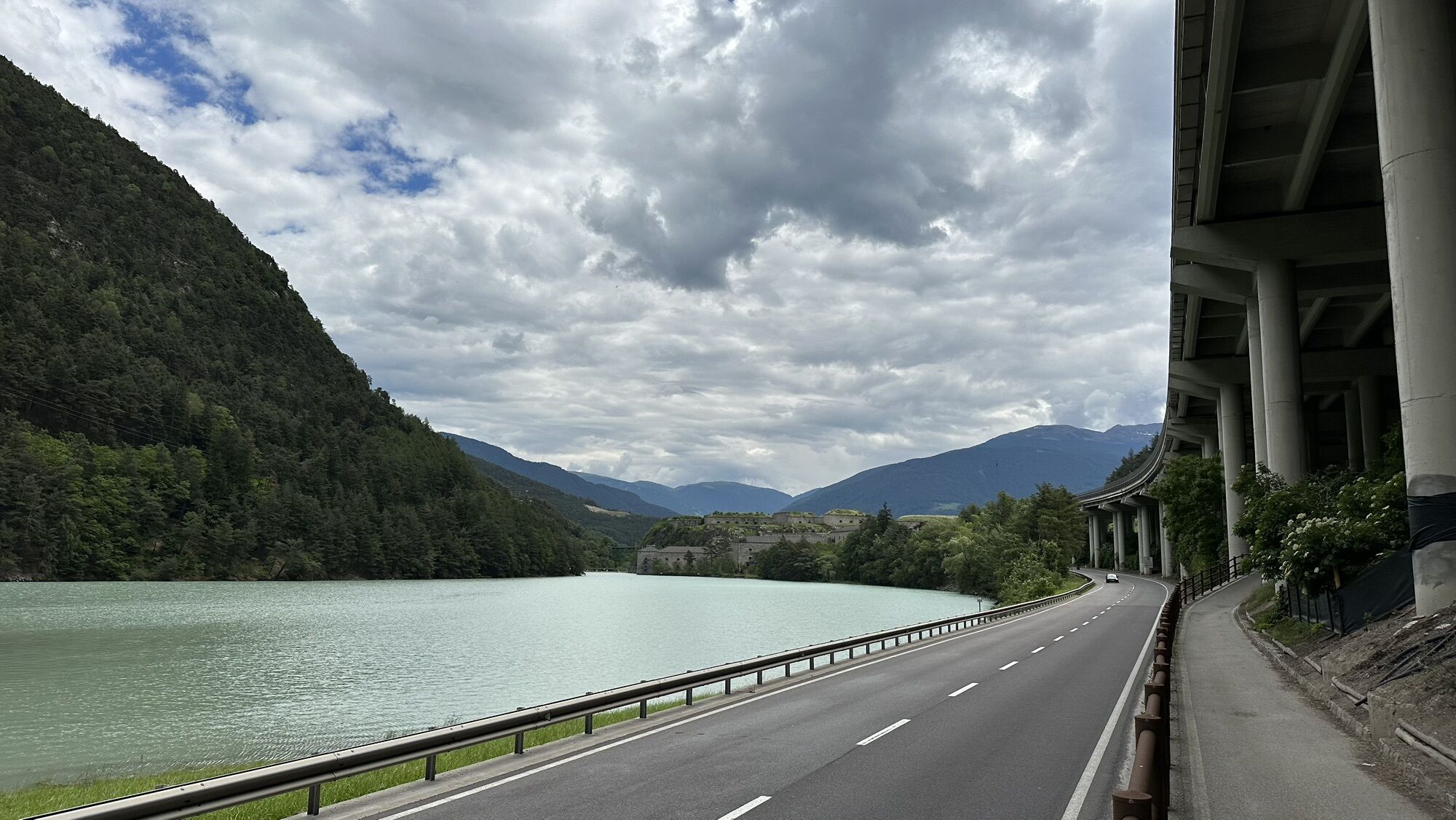
Photos from our users
-

 © Stefano “Iddo”Created on 12.08.2024
 -
 © Alois HörbingerCreated on 17.09.2025
 -

 © MarianneCreated on 04.09.2025
 -
 © MarianneCreated on 04.09.2025
 -
 © Wilhelm BöningCreated on 27.08.2025
 -

 © Petra PoslusnyCreated on 24.08.2025
 -
 © Bernhard.BreiteggerCreated on 17.08.2025
 -

 © Rudi ArtnerCreated on 07.08.2025
 -
 © Rudi ArtnerCreated on 07.08.2025
 -
 © Daniel UnterlechnerCreated on 19.07.2025
 -
 © Gianberto ZilliCreated on 11.07.2025
 -
 © Gianberto ZilliCreated on 11.07.2025
 -
 © Gianberto ZilliCreated on 10.07.2025
 -
 © Gianberto ZilliCreated on 10.07.2025
 -
 © Gianberto ZilliCreated on 09.07.2025
 -
 © Gianberto ZilliCreated on 09.07.2025
 -
 © Gianberto ZilliCreated on 09.07.2025
 -
 © Marianne UnterrainerCreated on 08.07.2025
 -
 © Ernst PürimayrCreated on 20.06.2025
 -
 © Ernst PürimayrCreated on 20.06.2025
 -
 © Ernst PürimayrCreated on 20.06.2025
 -
 © Ernst PürimayrCreated on 20.06.2025
 -
 © Ernst PürimayrCreated on 20.06.2025
 -
 © Ernst PürimayrCreated on 20.06.2025
 -
 © Ernst PürimayrCreated on 20.06.2025
 -
 © Lorenz KleberCreated on 19.06.2025
 -
 © Lorenz KleberCreated on 19.06.2025
 -
 © Lorenz KleberCreated on 19.06.2025
 -
 © Michael HohensinnCreated on 06.06.2025
 -
 © Stefano “Iddo”Created on 22.04.2025
 -
 © Stefano “Iddo”Created on 20.04.2025
 -
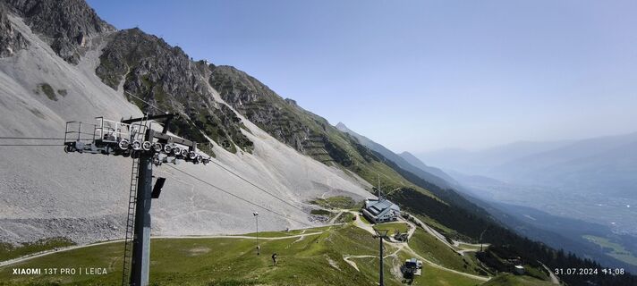
 © Karl-HeinzCreated on 31.07.2024
 -
 © Matej Mikus 1Created on 27.07.2024
 -
 © Matej Mikus 1Created on 27.07.2024
 -
 © Matej Mikus 1Created on 27.07.2024
 -
 © Matej Mikus 1Created on 27.07.2024
 -
 © Matej Mikus 1Created on 27.07.2024
 -
 © Matej Mikus 1Created on 27.07.2024
 -
 © Matej Mikus 1Created on 27.07.2024
 -
 © Hans KlamerCreated on 24.06.2024
 -

 © ReinspergerCreated on 22.08.2023
 -

 © Eberl ChristianCreated on 11.06.2023
 -
 © Eberl ChristianCreated on 11.06.2023
 -
 © Eberl ChristianCreated on 11.06.2023
 -
 © Eberl ChristianCreated on 11.06.2023
 -
 © Eberl ChristianCreated on 11.06.2023
 -
 © Eberl ChristianCreated on 11.06.2023
 -
 © Eberl ChristianCreated on 11.06.2023


No reviews yet
Popular tours in the neighbourhood
-
4.7
Zittauer Hut
mediumHiking 6.85 km -
3.9
Edelhütte
lightHiking 3.16 km -
4.0
Durlaßboden reservoir (circular route)
lightHiking 10.7 km -
4.6
Hochfügen, Vier-Almen-Tour, Tirol/Österreich
lightHiking 7.82 km -
4.5
Mayrhofen-Stilluptal
mediumMountainbike 18.4 km -
4.5
Ahornspitze
mediumMountain hiking 14.2 km -
3.2
Rundwanderung über "Stoanmandlweg": Hirschbichlalm - Wedelhütte - Wimbachkopf - Kristallhütte
Hiking 7.25 km -
4.7
Gamshütte von Finkenberg aus
mediumHiking 5.28 km -
5.0
Mayrhofen - Stillup Stausee - Kasseler Hütte
Hiking 22.5 km -
4.0
MTB - Gerlos - Durlaßboden - Trisslalm
lightMountainbike 30.8 km
Hiking & Tracking

Over 550.000 tour suggestions, detailed maps and an intuitive route planner make the app a must-have for all nature enthusiasts.

Don't miss out on offers and inspiration for your next holiday
Subscribe to the newsletter
Error
An error has occurred. Please try again.
Thank you for your registration
Your e-mail address has been added to the mailing list.
Tours throughout Europe
Austria
Switzerland
Germany
Italy
Slovenia
France
Netherlands
Belgium
Poland
Liechtenstein
Czechia
Slovakia
Spain
Croatia
Bosnia and Herzegovina
Luxembourg
Andorra
Portugal
Iceland
United Kingdom
Ireland
Greece
Albania
North Macedonia
Malta
Norway
Montenegro
Moldova
Kosovo
Hungary
San Marino
Romania
Estonia
Latvia
Belarus
Cyprus
Lithuania
Serbia
Bulgaria
Monaco
Denmark
Sweden
Finland