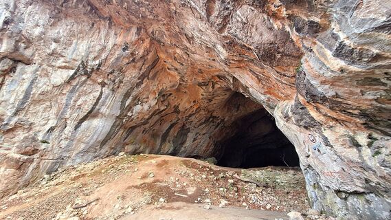
Drachenhöhle und Röthelstein von Mixnitz
Hiking
Navigate
Navigate
Get this tour on your mobile
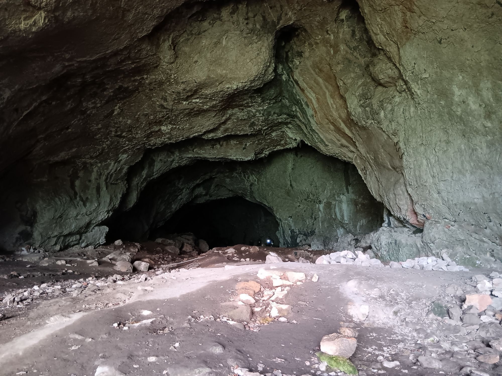
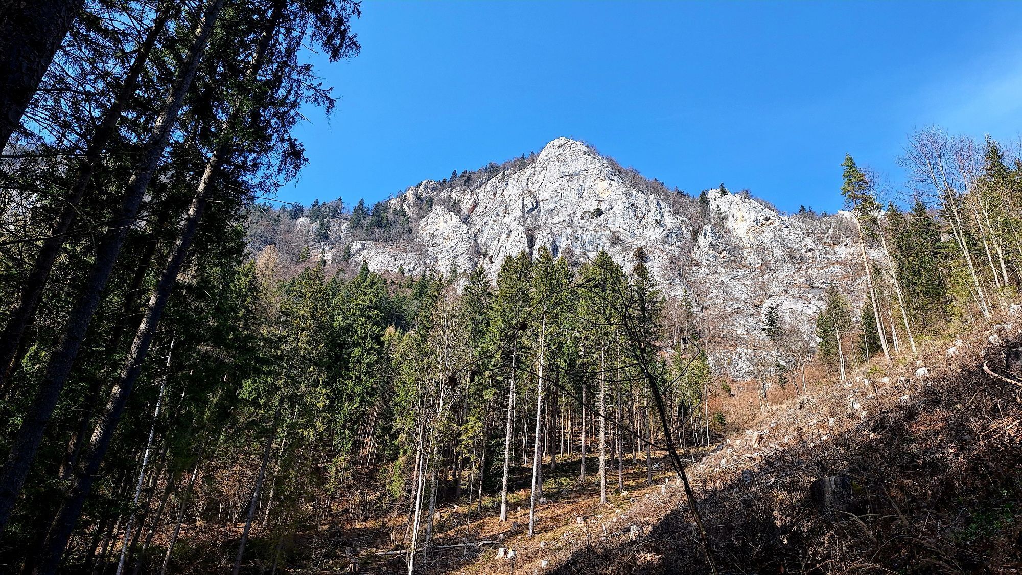
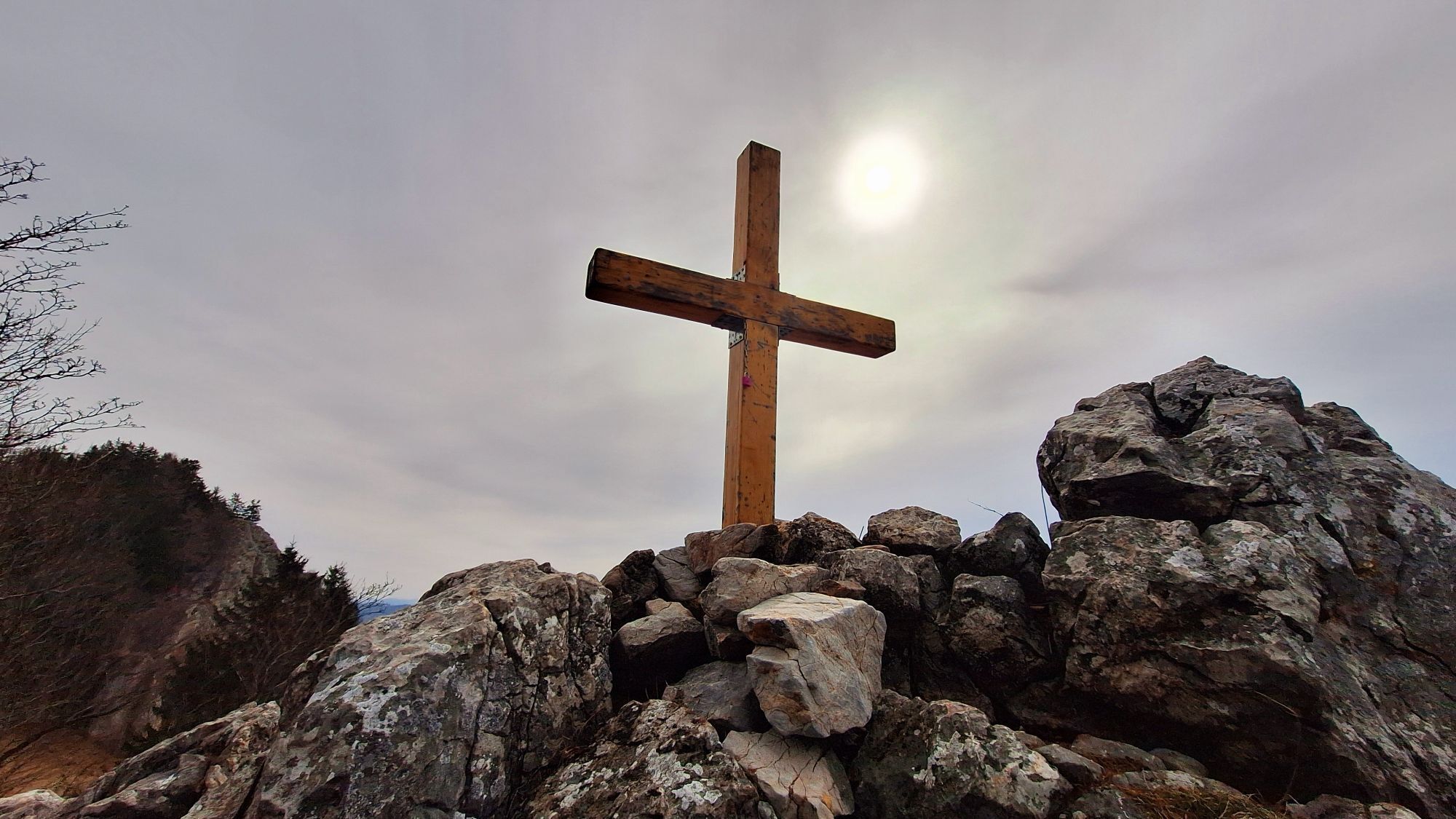
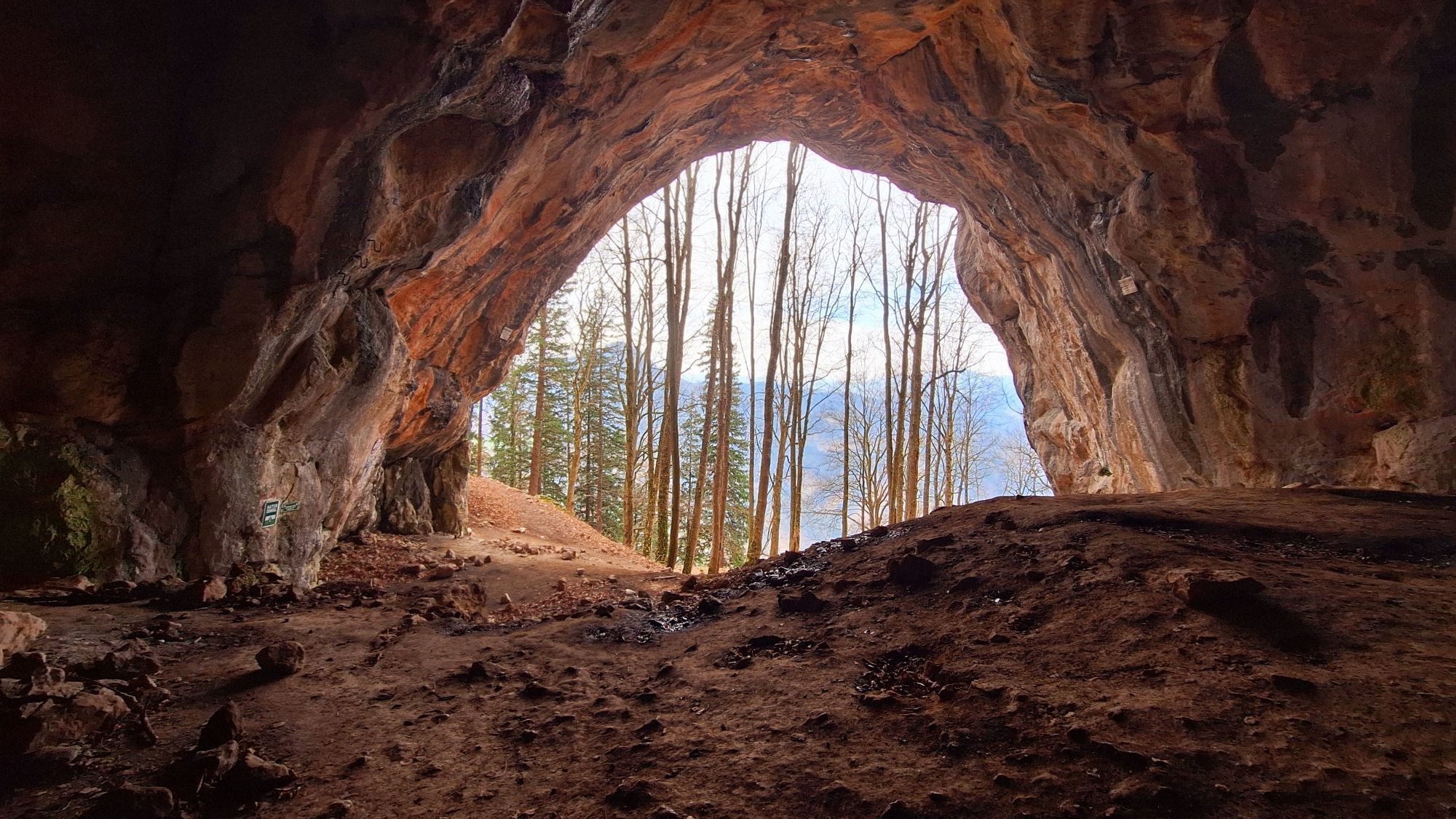
Drachenhöhle und Röthelstein von Mixnitz
Hiking
7.23
km
Scan the QR code and start navigation in the bergfex app

Hiking & Tracking


Distance
7.23
km
Duration
-
h
Ascent
845
m
Sea level
457 -
1,209
m
Track download
Drachenhöhle und Röthelstein von Mixnitz
Hiking
7.23
km


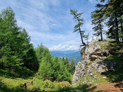
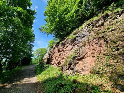
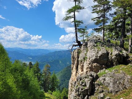
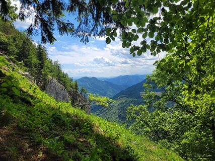
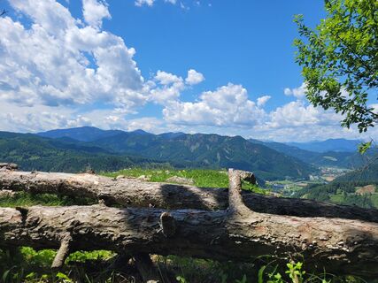
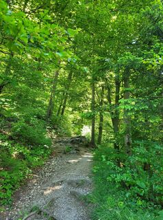
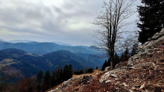
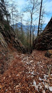
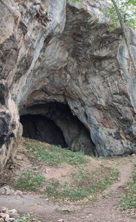
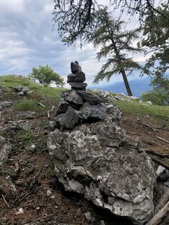
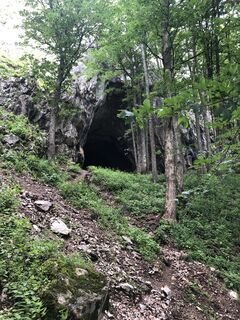
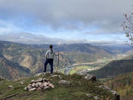
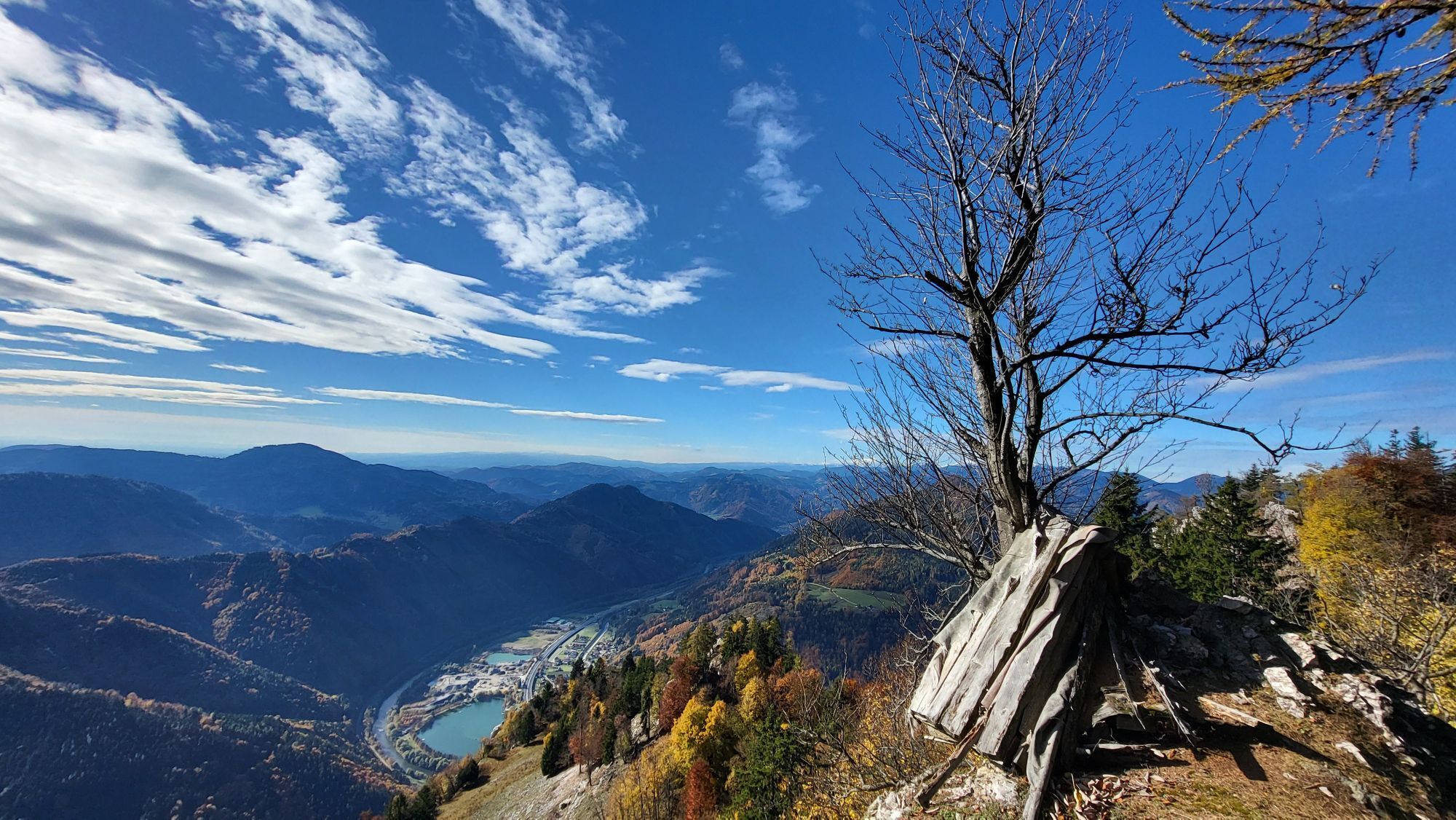
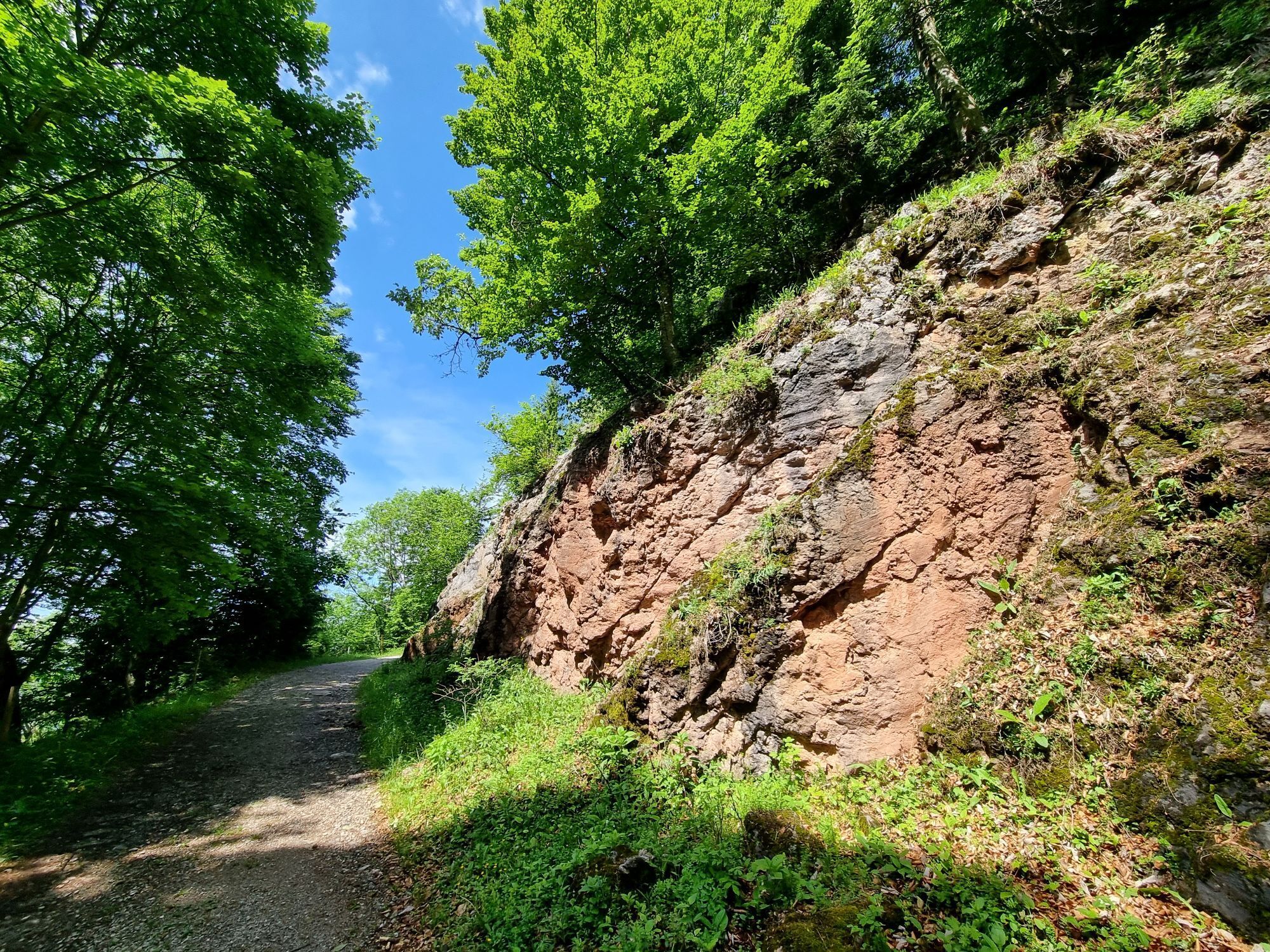
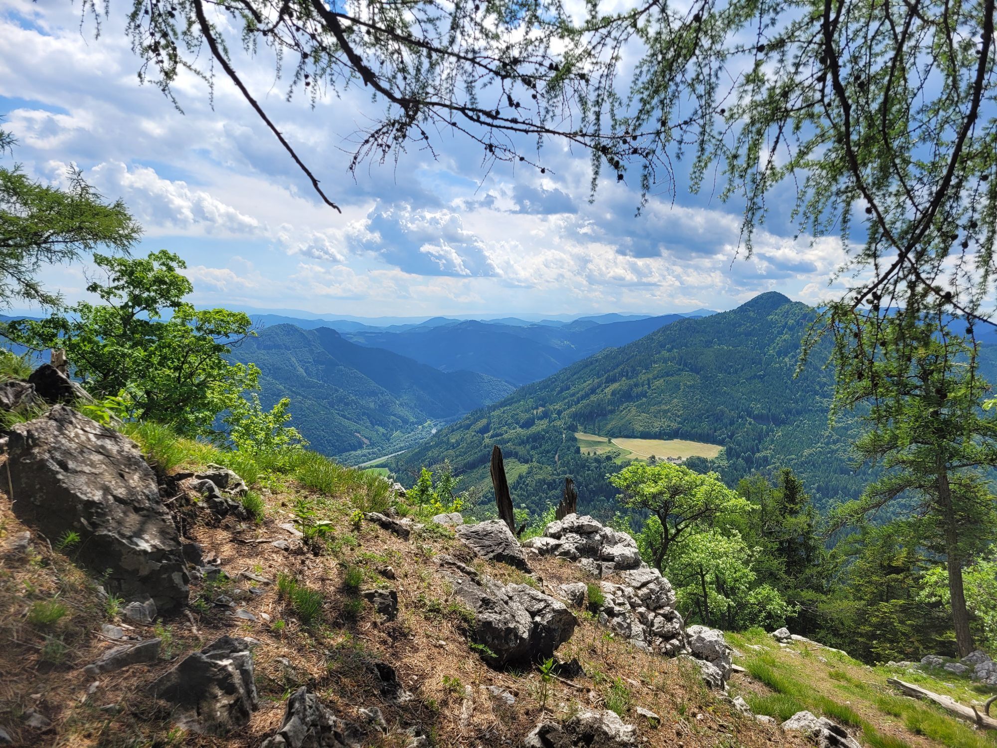
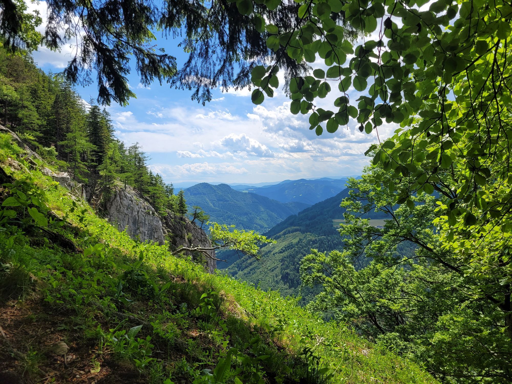
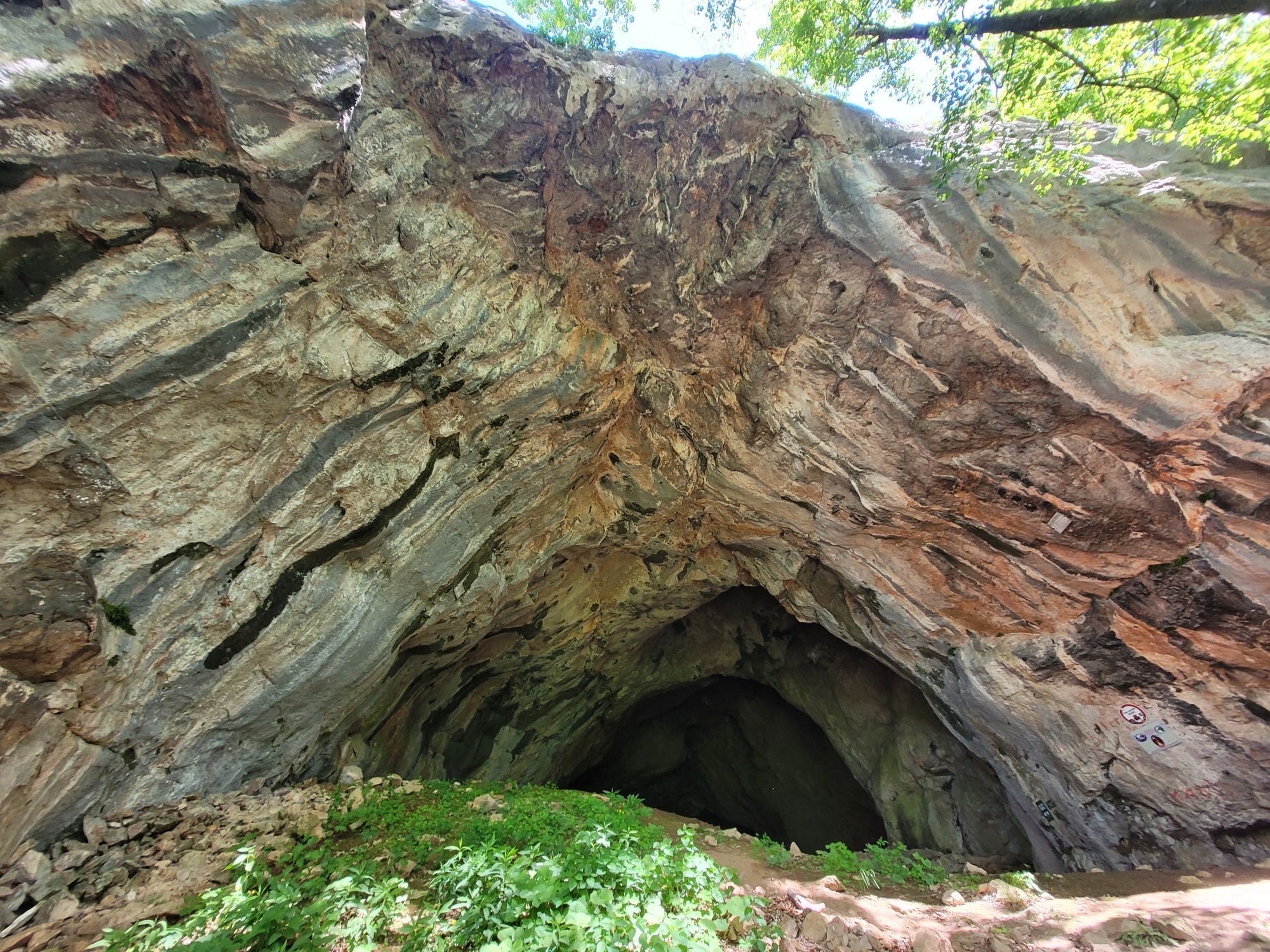
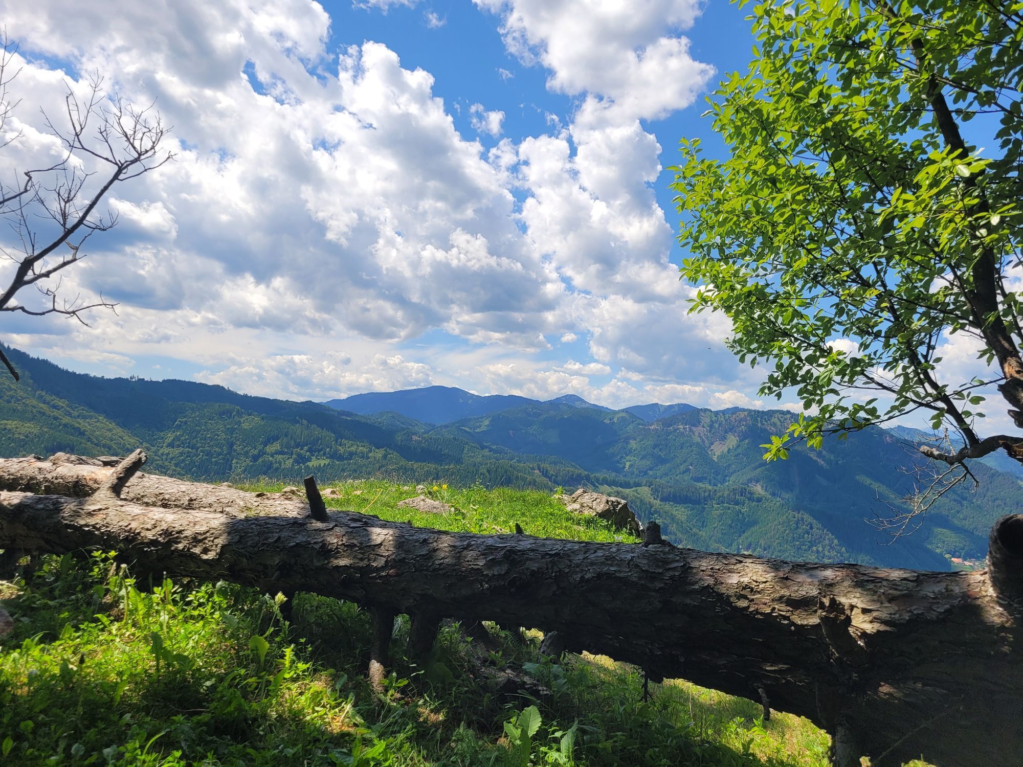
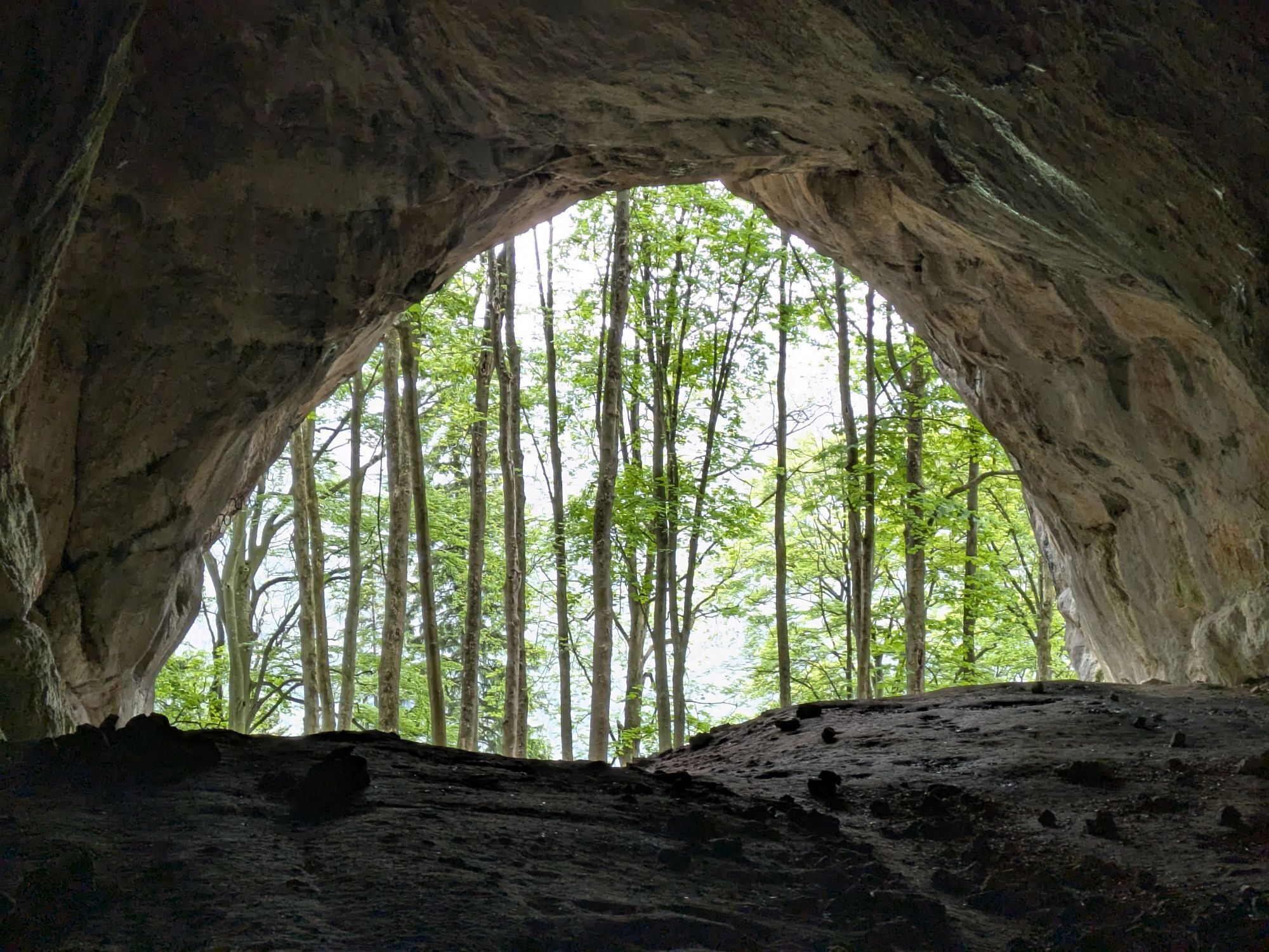
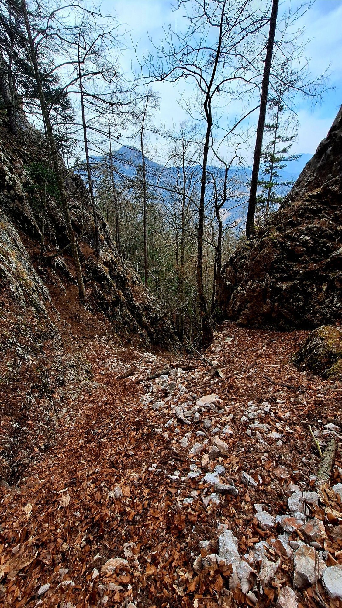
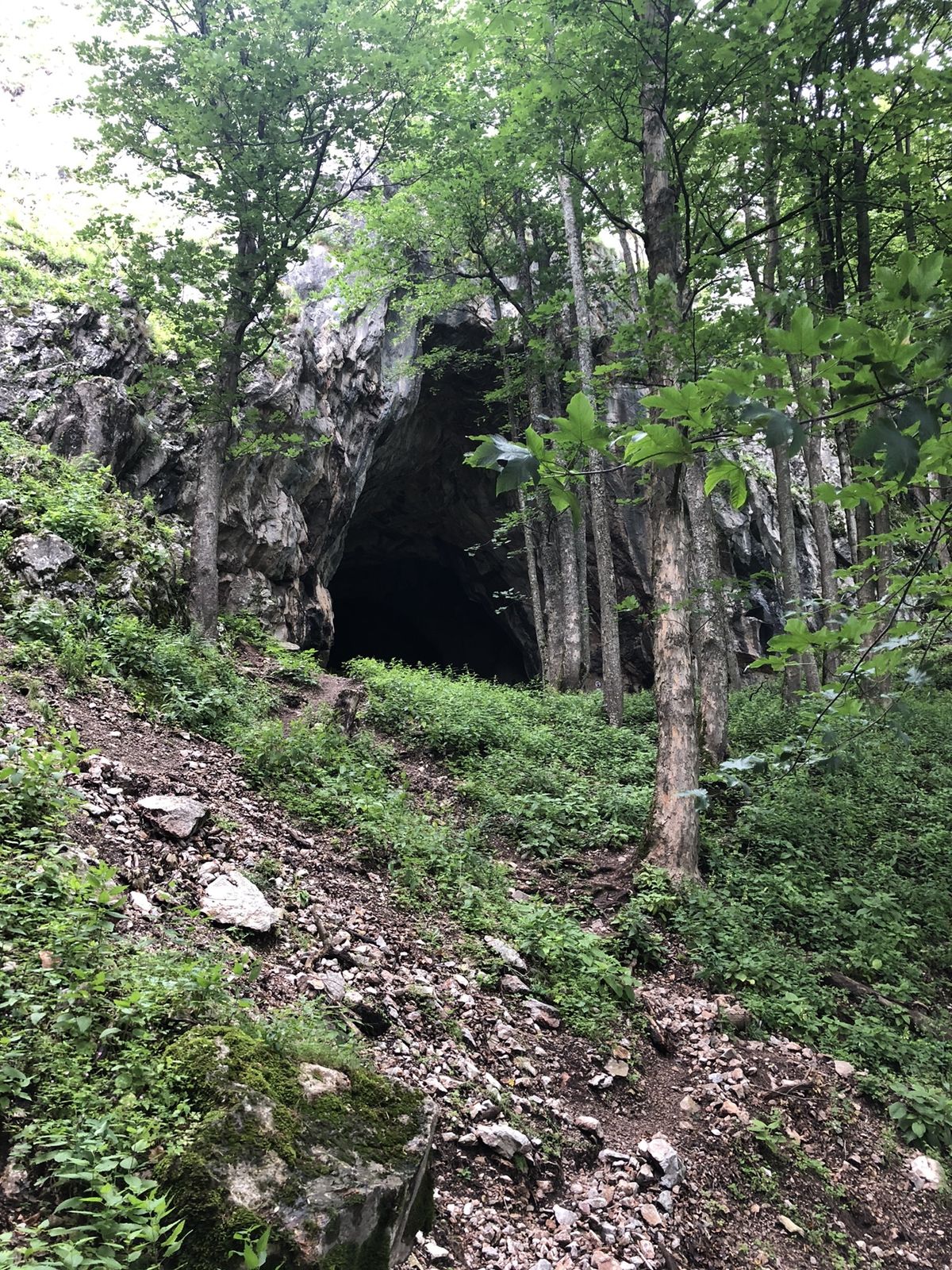
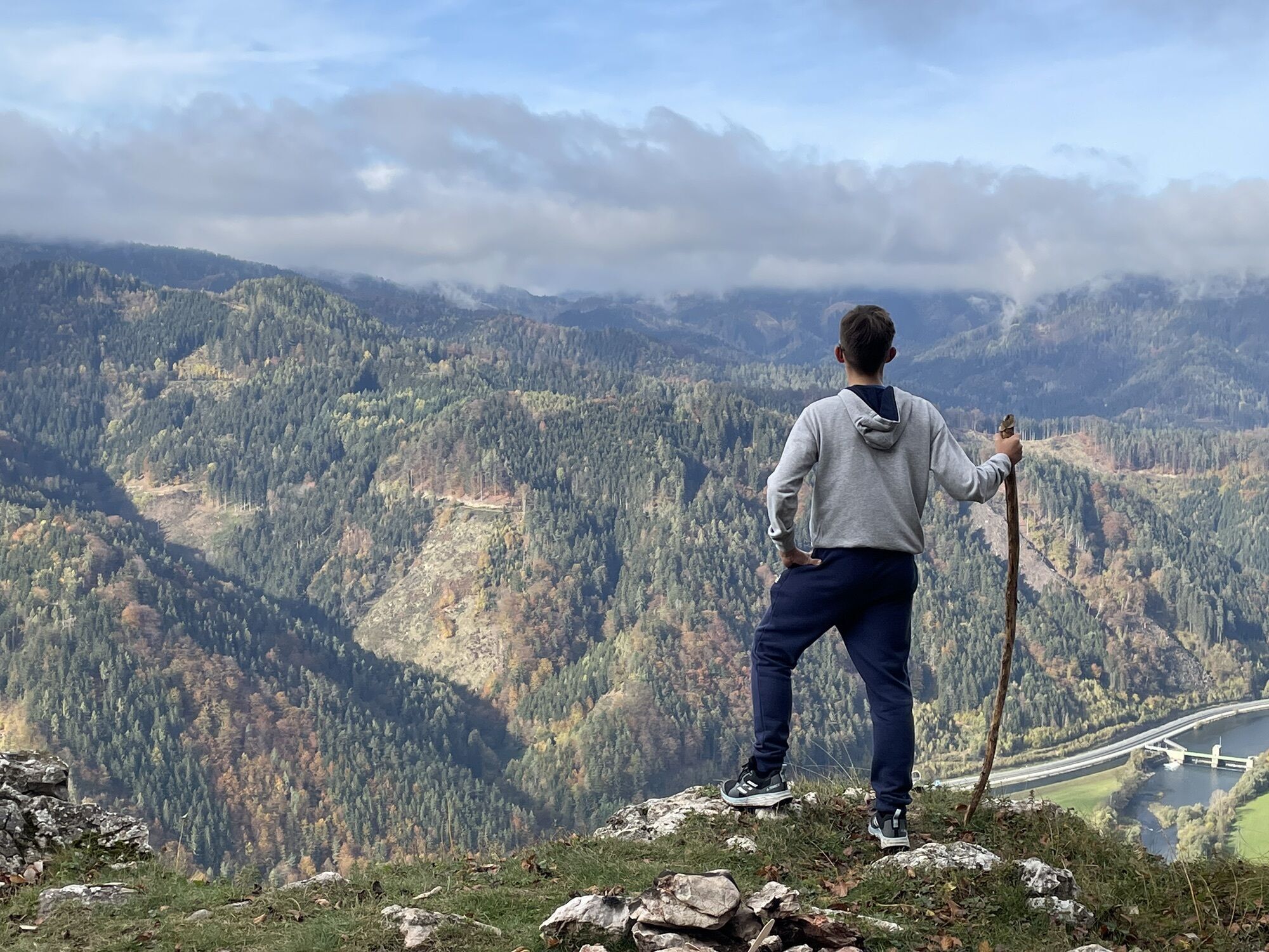
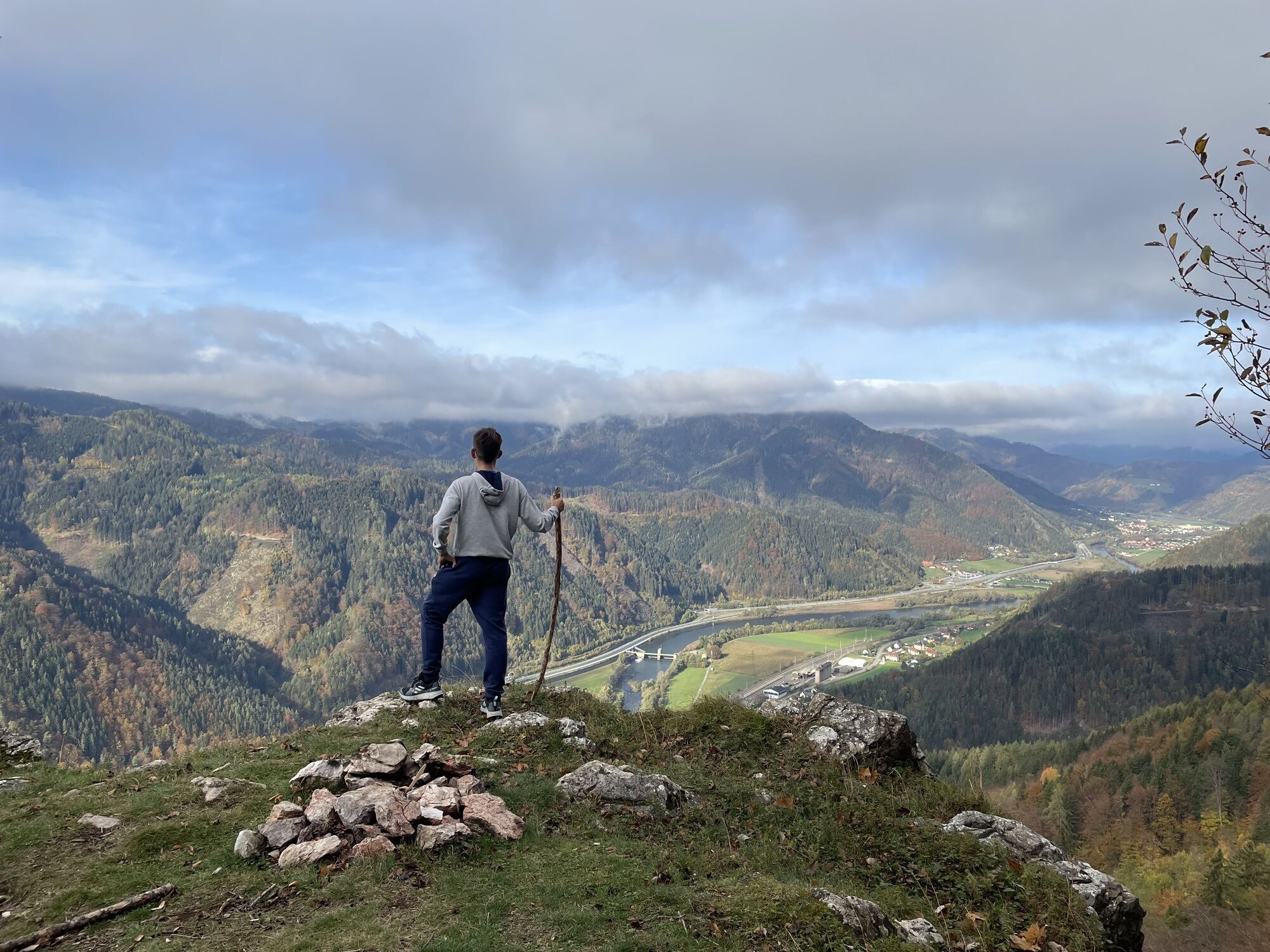
Photos from our users
-

 © Heide BaumgartnerCreated on 25.10.2025
 -

 © Karl KammererCreated on 02.06.2025
 -
 © Karl KammererCreated on 02.06.2025
 -
 © Karl KammererCreated on 02.06.2025
 -
 © Juliane JarkeCreated on 31.05.2025
 -
 © Juliane JarkeCreated on 31.05.2025
 -
 © Juliane JarkeCreated on 31.05.2025
 -
 © Juliane JarkeCreated on 31.05.2025
 -
 © Juliane JarkeCreated on 31.05.2025
 -
 © Juliane JarkeCreated on 31.05.2025
 -
 © Juliane JarkeCreated on 31.05.2025
 -

 © Gerti PesenhoferCreated on 18.05.2025
 -

 © wichita45Created on 17.05.2025
 -

 © Regina FleischmannCreated on 22.03.2025
 -
 © Regina FleischmannCreated on 22.03.2025
 -
 © Regina FleischmannCreated on 22.03.2025
 -
 © Regina FleischmannCreated on 22.03.2025
 -
 © Regina FleischmannCreated on 22.03.2025
 -
 © Regina FleischmannCreated on 22.03.2025
 -
 © Regina FleischmannCreated on 22.03.2025
 -
 © SiMy SamitzCreated on 21.10.2023
 -

 © Robert.UnterlercherCreated on 25.07.2020
 -
 © Robert.UnterlercherCreated on 25.07.2020
 -
 © Robert.UnterlercherCreated on 25.07.2020
 -
 © Yuliya PetkovicCreated on 23.10.2022
 -
 © Yuliya PetkovicCreated on 23.10.2022


No reviews yet
Popular tours in the neighbourhood
-
4.0
Fladnitz an der Teichalm: Teichalm - Hochlantsch
Hiking 3.69 km -
4.3
Plankogel-Rundweg, Sommeralm
lightHiking 6.30 km -
4.5
Siebenkögel-Rundweg, Sommeralm
mediumHiking 12.6 km -
4.7
Teichalm - Hochlantsch - Schüsserlbrunn
mediumHiking 12.6 km -
4.6
Frauenberg - Rennfeld Steiermark
lightHiking 6.40 km -
4.6
Kesselfallklamm, Steiermark
lightHiking 3.30 km -
4.6
Mixnitz - Drachenhöhle - Röthelstein - Rote Wand - Tyrnauer Alm
mediumHiking 14.6 km -
4.7
Rote Wand über Tyrnaueralm, Teichalm
mediumHiking 14.0 km -
4.2
Vom Schöcklkreuz auf den Schöckl
Hiking 5 km -
4.3
Hochlantsch-Runde, Teichalm
heavyHiking 11.5 km
Hiking & Tracking

Over 550.000 tour suggestions, detailed maps and an intuitive route planner make the app a must-have for all nature enthusiasts.

Don't miss out on offers and inspiration for your next holiday
Subscribe to the newsletter
Error
An error has occurred. Please try again.
Thank you for your registration
Your e-mail address has been added to the mailing list.
Tours throughout Europe
Austria
Switzerland
Germany
Italy
Slovenia
France
Netherlands
Belgium
Poland
Liechtenstein
Czechia
Slovakia
Spain
Croatia
Bosnia and Herzegovina
Luxembourg
Andorra
Portugal
Iceland
United Kingdom
Ireland
Greece
Albania
North Macedonia
Malta
Norway
Montenegro
Moldova
Kosovo
Hungary
San Marino
Romania
Estonia
Latvia
Belarus
Cyprus
Lithuania
Serbia
Bulgaria
Monaco
Denmark
Sweden
Finland