Signal de Botrange - Noir Flohay - Butte Baltia
medium
Navigate
Navigate
Get this tour on your mobile
Signal de Botrange - Noir Flohay - Butte Baltia
medium
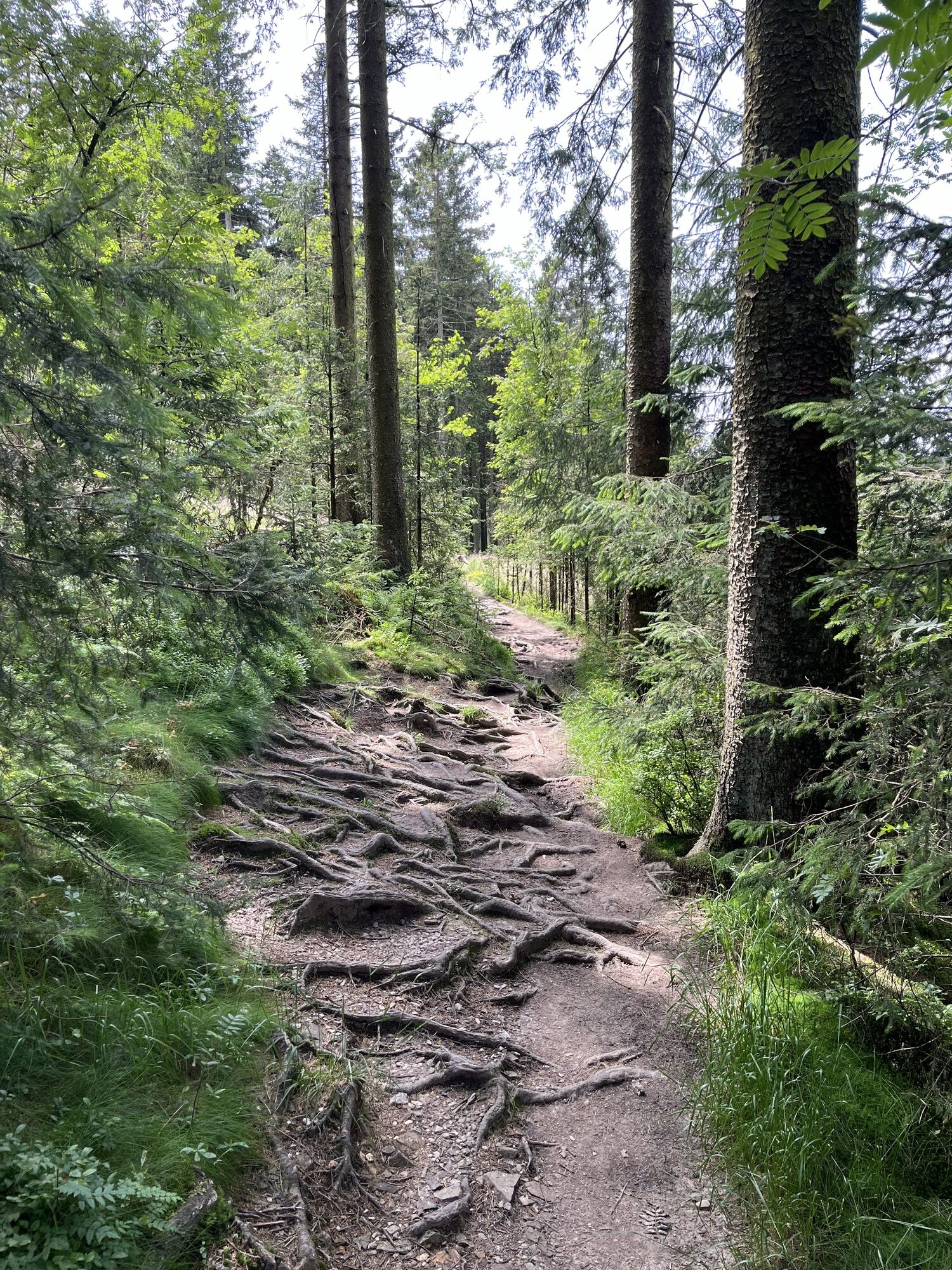
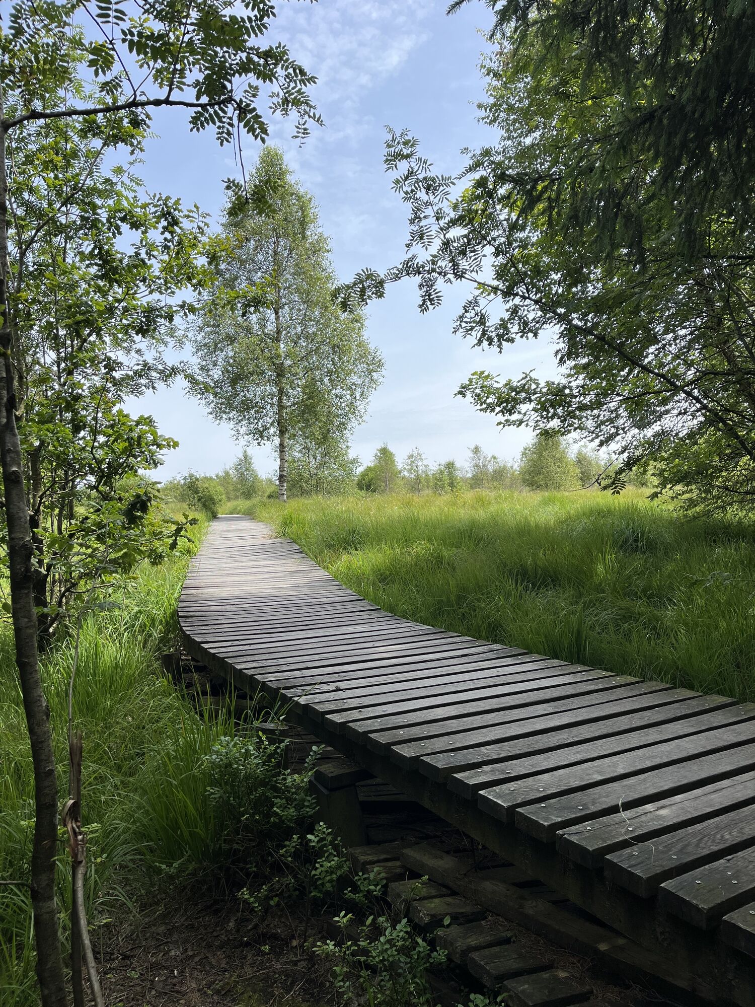
Hiking
18.35
km
Scan the QR code and start navigation in the bergfex app

Hiking & Tracking


Distance
18.35
km
Duration
04:32
h
Ascent
256
m
Sea level
520 -
694
m
Track download
Signal de Botrange - Noir Flohay - Butte Baltia
medium
Hiking
18.35
km


Route
Signal de Botrange
(694 m)
Restaurant
0.0 km
Noir Flohay
(633 m)
Summit
13.2 km
Signal de Botrange
(694 m)
Viewpoint
18.1 km
Signal de Botrange
(694 m)
Summit
18.2 km
Butte Baltia
(700 m)
Viewpoint
18.3 km
Route
Signal de Botrange
(694 m)
Restaurant
0.0 km
Noir Flohay
(633 m)
Summit
13.2 km
Signal de Botrange
(694 m)
Viewpoint
18.1 km
Signal de Botrange
(694 m)
Summit
18.2 km
Butte Baltia
(700 m)
Viewpoint
18.3 km
No reviews yet
Popular tours in the neighbourhood
- 2.7
Hautes Fagnes - Château Reinhardstein
lightHiking16.3 km - 4.0
Eifelsteig Etappe 3
mediumHiking24.5 km - 4.7
Xhouffrais - Sourbrodt
lightHiking18.3 km - 5.0
Monschau Runde #LL2ROM V02
mediumHiking4.08 km Rundwanderung Hohes Venn
lightHiking27.5 km- 4.0
Monschau am rivier Roer
lightHiking15.6 km Winter hiking trail Wahlerscheid - Eifel National Park
mediumHiking8.24 kmMalmedy, België Le Moulin Bévercé
mediumHiking8.01 km- 3.3
Wasser, Wolle, Schiefersteine
mediumHiking13.3 km Bog birches, streams, and forest development - Eifel National Park
lightHiking5.91 km
Hiking & Tracking

Over 550.000 tour suggestions, detailed maps and an intuitive route planner make the app a must-have for all nature enthusiasts.

Don't miss out on offers and inspiration for your next holiday
Subscribe to the newsletter
Error
An error has occurred. Please try again.Thank you for your registration
Your e-mail address has been added to the mailing list.
Tours throughout Europe
Austria Switzerland Germany Italy Slovenia France Netherlands Belgium Poland Liechtenstein Czechia Slovakia Spain Croatia Bosnia and Herzegovina Luxembourg Andorra Portugal Iceland United Kingdom Ireland Greece Albania North Macedonia Malta Norway Montenegro Moldova Kosovo Hungary San Marino Romania Estonia Latvia Belarus Cyprus Lithuania Serbia Bulgaria Monaco Denmark Sweden Finland