


Level of difficulty: S2


Places to stop for refreshments: Restaurant Dorbia and Restaurant Moosalp

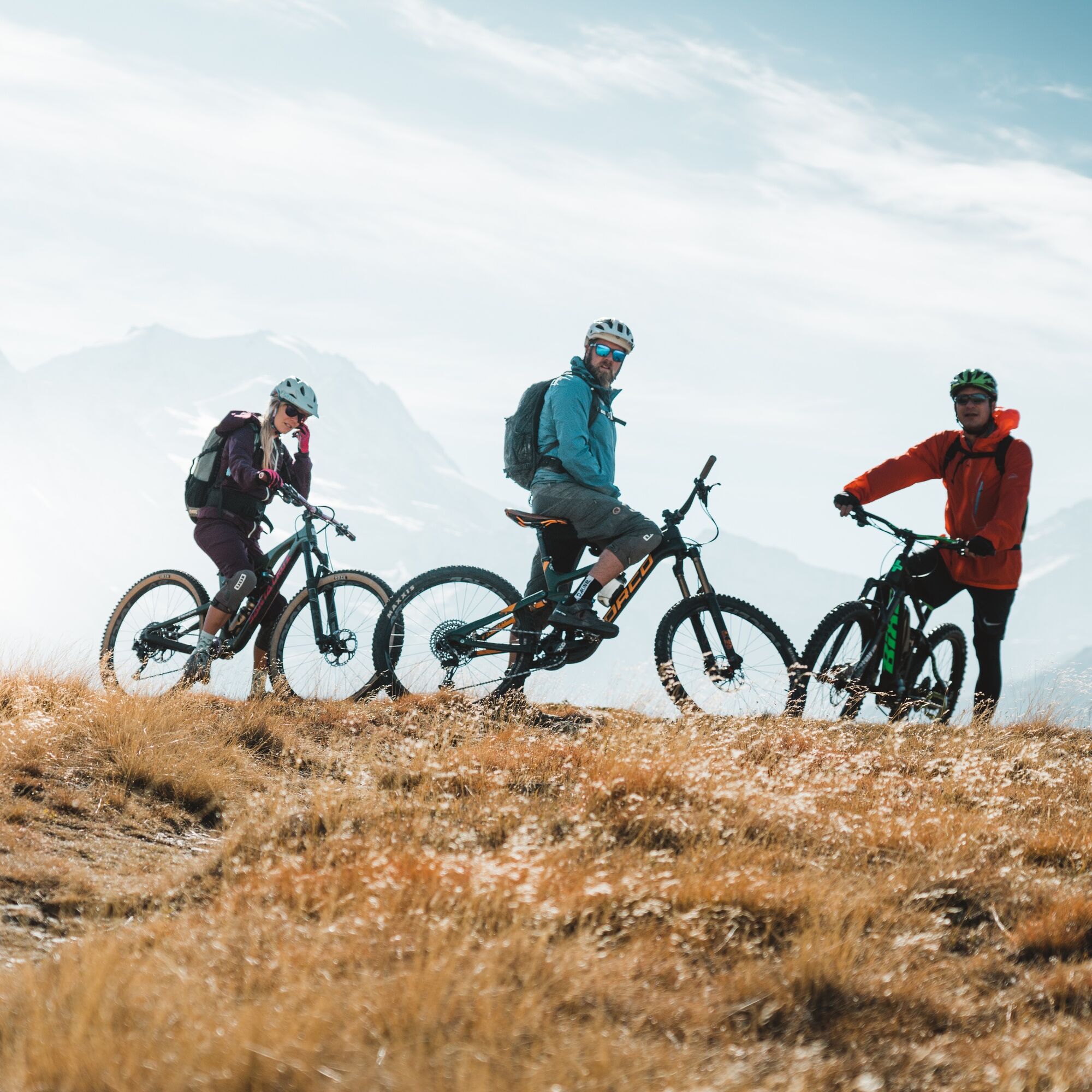
The Stalden Enduro Tour initially leads like the Kalpetran Enduro from Moosalp to the ‘Pletsche’ alp and then on a winding and beautiful trail to Embd. A speed reduction is required at the exposed points. From the village of Embd, keeping at altitude, the tour leads along the road out of the valley to ‘Halbtag’, turning left onto the forest road uphill to ‘Riejolli’. From ‘Riejolli’ it continues on an enjoyable trail to the Törbelbach and on to ‘Feld’. Care should be taken at isolated exposed points along this section. From the hamlet of Feld, the tour changes to the road for about 200 metres of descent until shortly before Oberbrunnen, where you turn right again into enduro mode. This section of the trail is very varied, partly steep and partly flowing. It crosses the mountain road several times before entering Stalden. It connects to trail no. 150 Visp-Zermatt.
By bus from Visp via Bürchen to Moosalp. Regular train and bus connections at www.sbb.ch/ and www.postauto.ch/de/fahrplan
S2
www.embd.ch/tourismus
www.moosalpregion.ch
www.bike-wallis.ch
‘Stand’ vantage point on Moosalp and Alpe Pletsche
Webcams of the tour
Seetal - Grächen
Brandalp - Skilift Seefeld
Moosalp - Restaurant Moosalp - Törbel
Hannigalp
Grächen - Dorf
Moosalp - Bergrestaurant Dorbia
Brandalp - Skilift Seefeld
Brandalp - Skilift Seefeld
Brandalp - Skilift Seefeld
Brandalp - Skilift Seefeld
Rothorli
Rothorli
Grächen
Gspon
Heidabahn Talstation
Furggen Berg
Brandalp - Skilift Seefeld
Brandalp - Skilift Seefeld
Brandalp - Skilift Seefeld
Brandalp - Skilift Seefeld
Törbel - Chalet Dolores
Yakfarm - Embd
Popular tours in the neighbourhood
- 5,0
Ibex Trail
mediumHiking9,02 km SUONEN CIRCULAR HOKE GREDETSCHTAL
mediumHiking7,45 km- 4,5
Via Ferrata Jegihorn
mediumVia ferrata6,40 km - 4,0
SUONEN HIKE FROM STIGWASSER AND OBERSTA TO GREDETSCHTAL
mediumHiking6,17 km - 5,0
Jägihorn via ferrata
heavyVia ferrata6,14 km - 4,5
Saas Fee - Bärenfalle - Melchboden - Hannigalp
mediumHiking8,38 km Panoramaweg Visperterminen
lightHiking9,72 km- 5,0
Moosalp Panoramaweg
lightHiking6,36 km Hannigalp-Seetal-Hannigalp
mediumHiking10,4 kmFinnen-Honegga-Brischeru-Salwald-Finnen
lightHiking10,8 km
Hiking & Tracking


Don't miss out on offers and inspiration for your next holiday
Your e-mail address has been added to the mailing list.