Nüziders - Stüble - Außerberg - Krone
light
Navigate
Navigate
Get this tour on your mobile
Nüziders - Stüble - Außerberg - Krone
light
Hiking
3.70
km
Scan the QR code and start navigation in the bergfex app

Hiking & Tracking


Distance
3.70
km
Duration
01:18
h
Ascent
111
m
Sea level
555 -
712
m
Track download
Nüziders - Stüble - Außerberg - Krone
light
Hiking
3.70
km


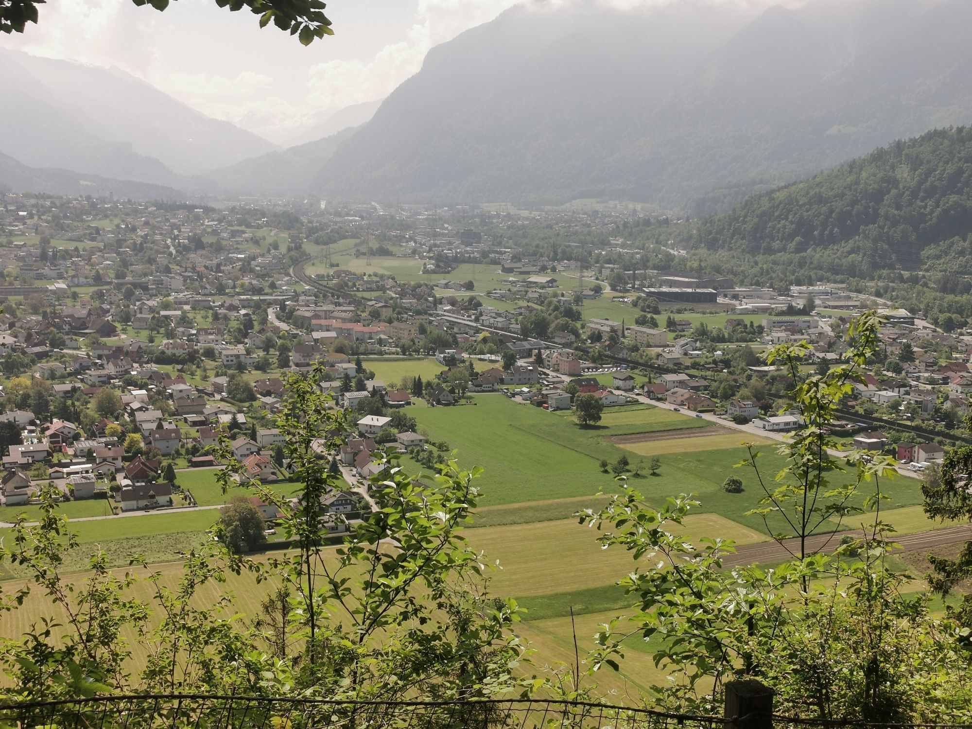
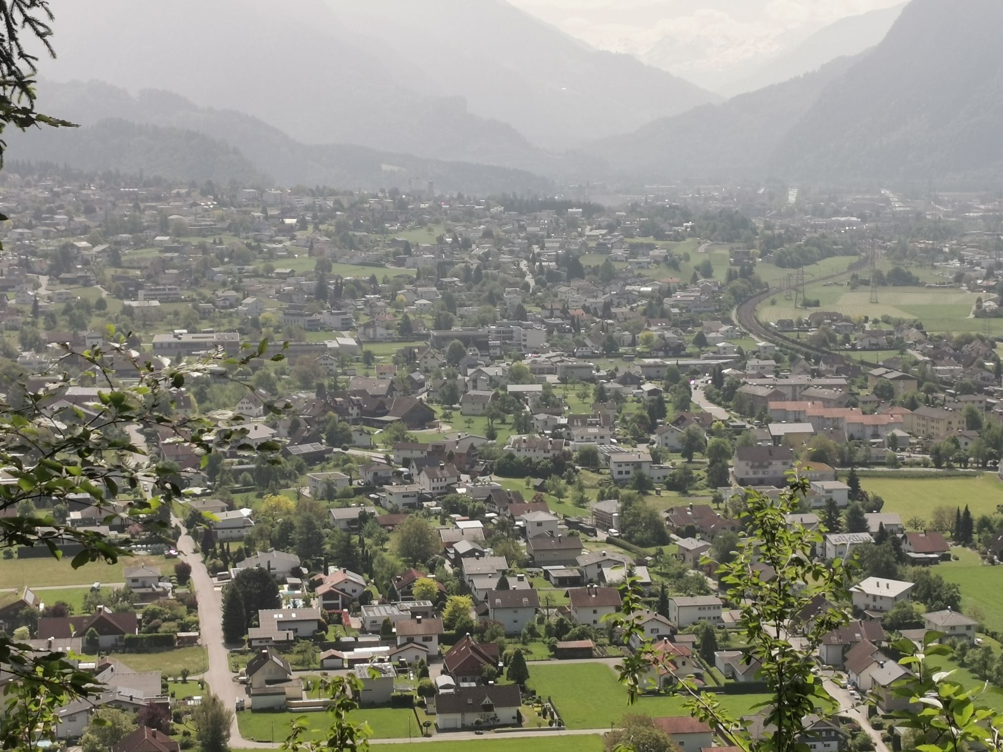
Route
Nüziders
(548 m)
Village
0.0 km
Außerberg
(752 m)
Summit
2.1 km
Steinbühel
(614 m)
Corridor/terrain
3.3 km
Route
Nüziders - Stüble - Außerberg - Krone
light
Hiking
3.70
km
Nüziders
(548 m)
Village
0.0 km
Krone
(559 m)
Restaurant
0.0 km
Stüble
(561 m)
Corridor/terrain
0.1 km
Tschugmainer
(559 m)
Corridor/terrain
0.1 km
Sigberger
(557 m)
Corridor/terrain
0.1 km
Batschmatscher
(571 m)
Corridor/terrain
0.2 km
Bädle
(567 m)
Corridor/terrain
0.3 km
Bad Sonnenberg
(563 m)
Restaurant
0.3 km
Außerberg
(752 m)
Summit
2.1 km
Steinbühel
(614 m)
Corridor/terrain
3.3 km
Stueller
(628 m)
Corridor/terrain
3.4 km
Gugnere
(583 m)
Corridor/terrain
3.4 km
Krone
(559 m)
Restaurant
3.7 km
No reviews yet
Popular tours in the neighbourhood
-
4.7
Sonntags-Runde
mediumHiking 9.75 km -
5.0
Bürs, Bürserschlucht Bürs, Vorarlberg
mediumHiking 5.31 km -
5.0
Douglasshütte, Lünersee, Gafalljoch Brand bei Bludenz, Vorarlberg
lightHiking 9.16 km -
4.5
Muttersberg - Fraßenhütte - Fraßen - Tiefenseesattel Nüziders, Österreich
mediumHiking 10.1 km -
4.4
Golm-Rundwanderweg im Rätikon
mediumThematic route 7.28 km -
4.3
Golmer, Höhenweg und Golmer Seenrundweg
mediumMountain hiking 7.62 km -
3.5
Damülser Rundtour
Hiking 11.9 km -
5.0
Durch die Mengschlucht ab Nenzing
lightHiking 7.19 km -
3.5
Golmer Höhenweg Geißspitze
heavyHiking 13.8 km -
5.0
Üble Schlucht / Laterns Laterns, Vorarlberg
mediumHiking 6.65 km
Hiking & Tracking

Over 550.000 tour suggestions, detailed maps and an intuitive route planner make the app a must-have for all nature enthusiasts.

Don't miss out on offers and inspiration for your next holiday
Subscribe to the newsletter
Error
An error has occurred. Please try again.
Thank you for your registration
Your e-mail address has been added to the mailing list.
Tours throughout Europe
Austria
Switzerland
Germany
Italy
Slovenia
France
Netherlands
Belgium
Poland
Liechtenstein
Czechia
Slovakia
Spain
Croatia
Bosnia and Herzegovina
Luxembourg
Andorra
Portugal
Iceland
United Kingdom
Ireland
Greece
Albania
North Macedonia
Malta
Norway
Montenegro
Moldova
Kosovo
Hungary
San Marino
Romania
Estonia
Latvia
Belarus
Cyprus
Lithuania
Serbia
Bulgaria
Monaco
Denmark
Sweden
Finland