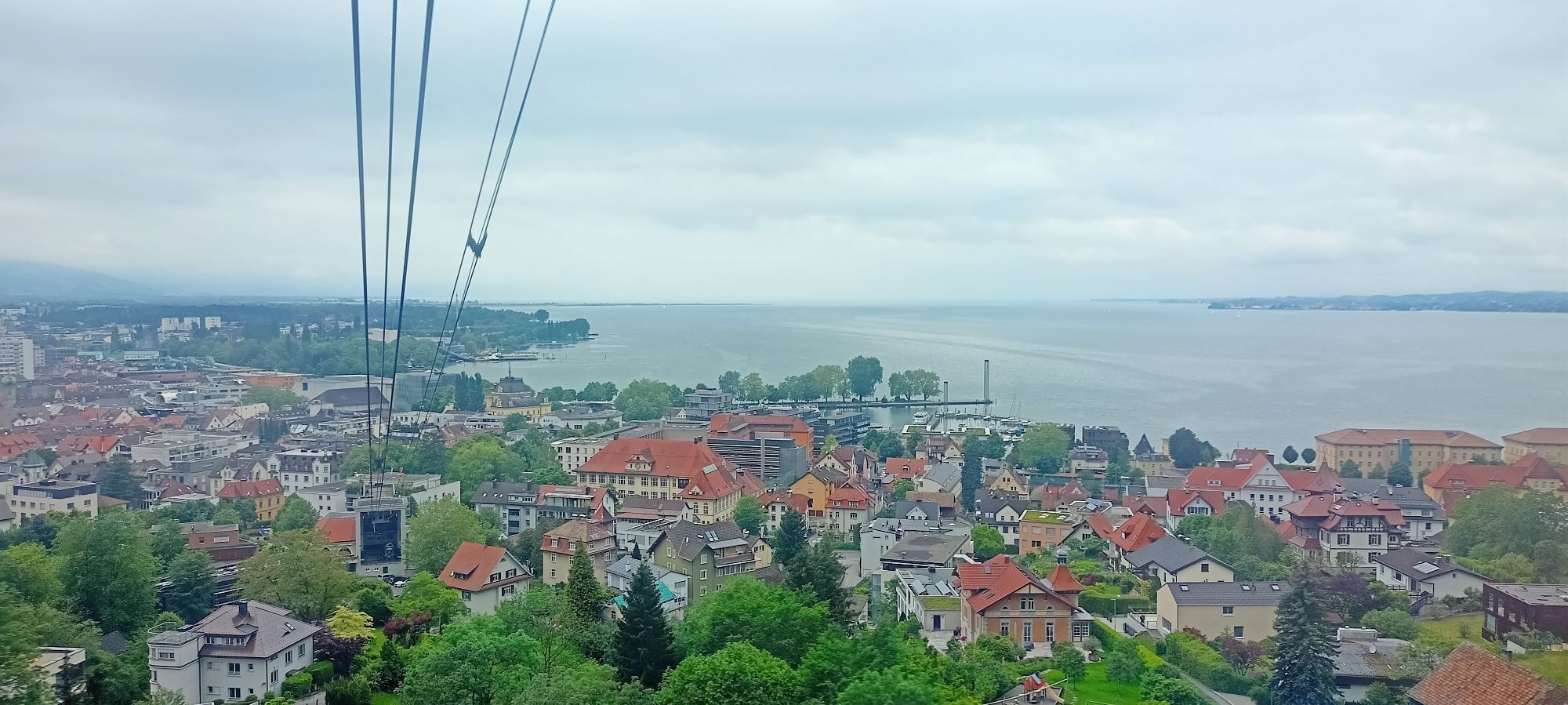
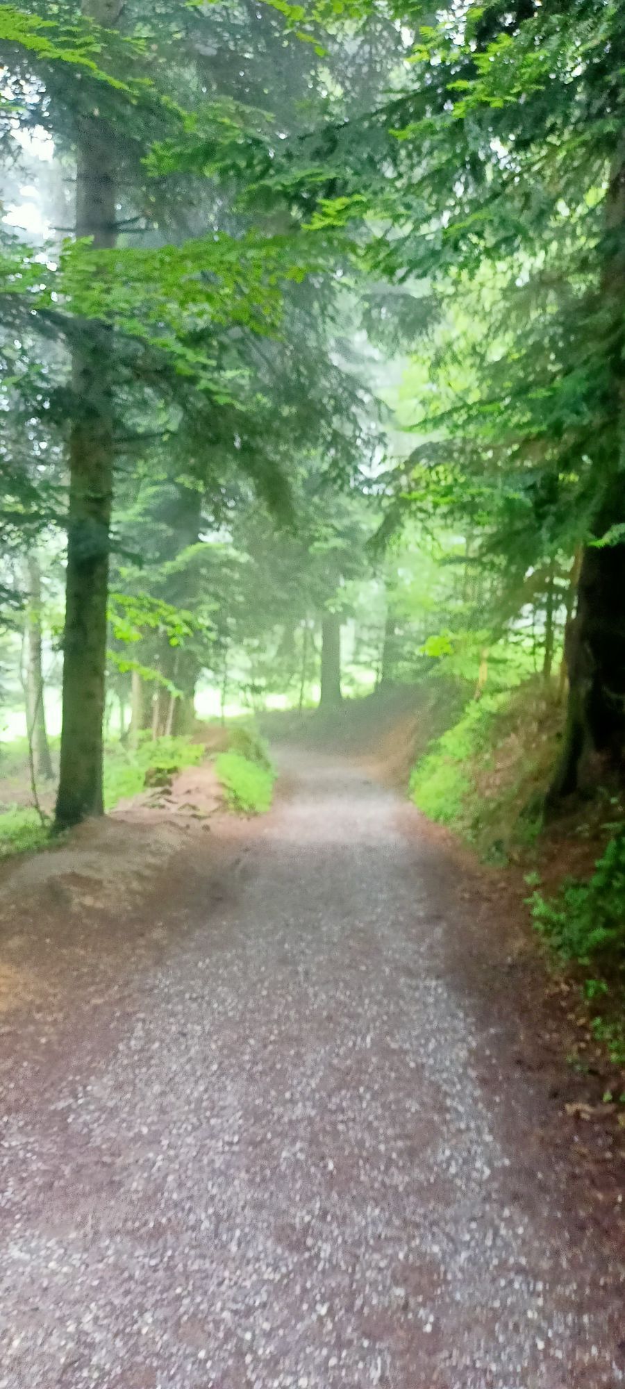
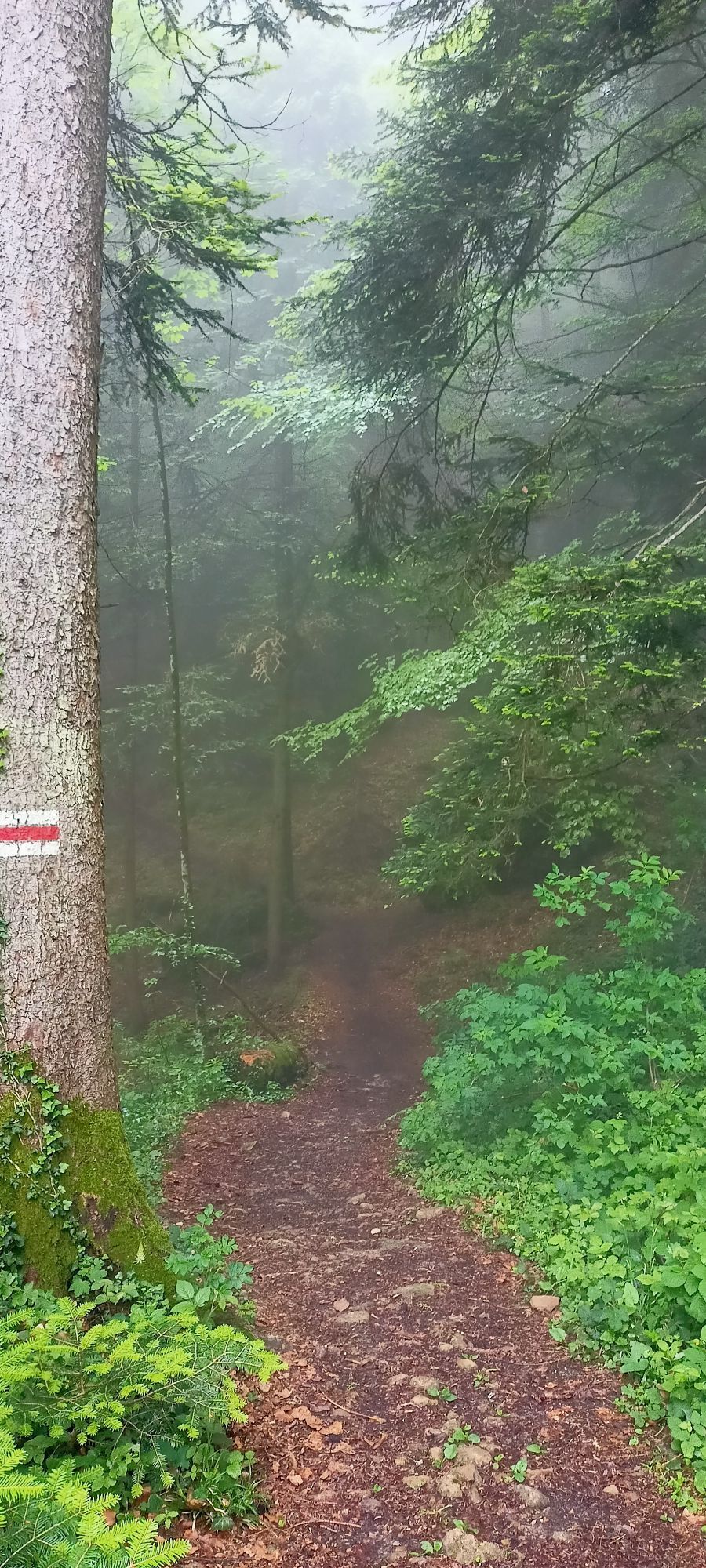
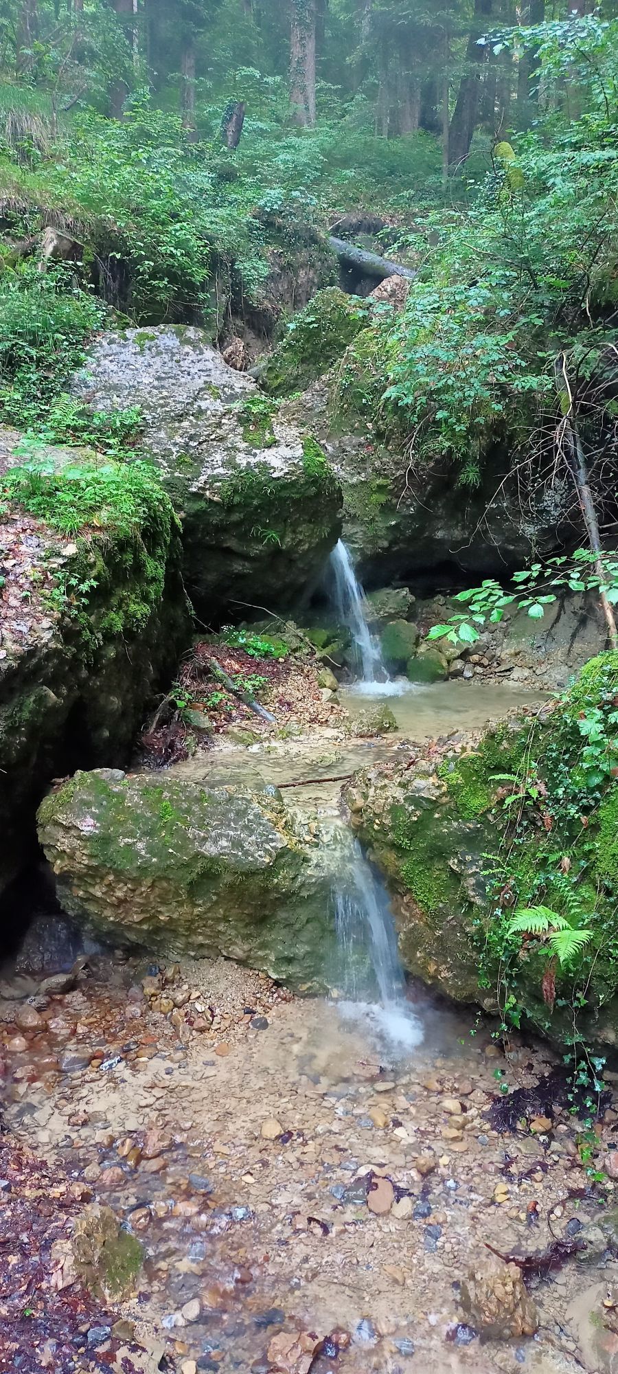
Bregenz, Vorarlberg/Österreich, Pfänder Taltour
Hiking
Navigate
Navigate
Get this tour on your mobile
Bregenz, Vorarlberg/Österreich, Pfänder Taltour
Hiking
6.13
km
Scan the QR code and start navigation in the bergfex app

Hiking & Tracking


Distance
6.13
km
Duration
02:03
h
Ascent
111
m
Sea level
415 -
999
m
Track download
Bregenz, Vorarlberg/Österreich, Pfänder Taltour
Hiking
6.13
km


Bergab über Straßen, Wurzeln und Schotter. Mit Kindern ab 8 gut zu bewältigen. Nicht geeignet für Kinderwagen oder Gehbeeinträchtigte.
Route
Route
Bregenz, Vorarlberg/Österreich, Pfänder Taltour
Hiking
6.13
km


No reviews yet
Popular tours in the neighbourhood
- 4.7
Hochälpele 1464m, Bödele
lightHiking9.87 km - 4.4
Bregenz, Austria - Pfänder
lightHiking8.57 km - 4.2
Sonntagsrunde
mediumHiking7 km - 3.7
Auf den Karren
lightHiking12.2 km - 3.4
Schwarzenberg| Bödele - Hochalpl
lightHiking10.2 km - 4.5
Schuttannen -Staufen -Runde
mediumHiking6.29 km - 5.0
Karrenbahn (Talstation) - Karren - Schluchtsee - Rappenloch (Klamm)
mediumHiking8.03 km - 4.5
Känzele Klettersteig Bregenz, Vorarlberg
mediumVia ferrata2.17 km - 5.0
Staufenrunde, Dornbirn
mediumHiking7.29 km - 4.8
Chillige Tour am Bödele
lightSki tour3.38 km
Hiking & Tracking

Over 550.000 tour suggestions, detailed maps and an intuitive route planner make the app a must-have for all nature enthusiasts.

Don't miss out on offers and inspiration for your next holiday
Subscribe to the newsletter
Error
An error has occurred. Please try again.Thank you for your registration
Your e-mail address has been added to the mailing list.
Tours throughout Europe
Austria Switzerland Germany Italy Slovenia France Netherlands Belgium Poland Liechtenstein Czechia Slovakia Spain Croatia Bosnia and Herzegovina Luxembourg Andorra Portugal Iceland United Kingdom Ireland Greece Albania North Macedonia Malta Norway Montenegro Moldova Kosovo Hungary San Marino Romania Estonia Latvia Belarus Cyprus Lithuania Serbia Bulgaria Monaco Denmark Sweden Finland