


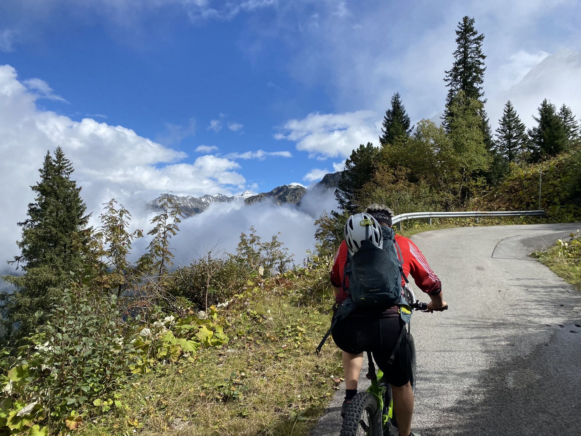
This route leads to the foot of the impressive Ochsen valley glacier in the Silvretta mountains. This mountain bike route is primarily used by mountaineers as a bike & hike/climbing tour. The ascent to...
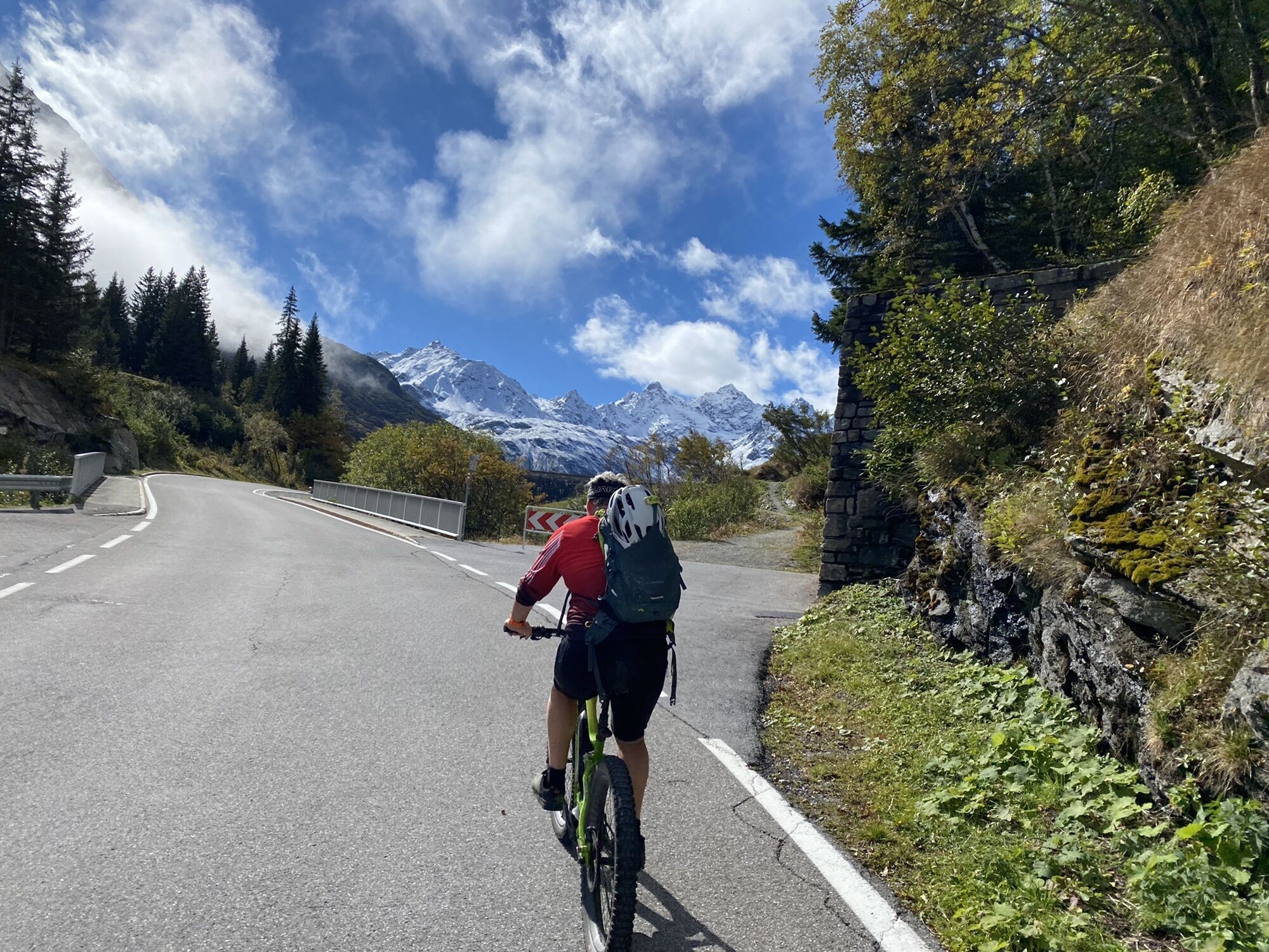
This route leads to the foot of the impressive Ochsen valley glacier in the Silvretta mountains. This mountain bike route is primarily used by mountaineers as a bike & hike/climbing tour. The ascent to the Wiesbadener Hut is very steep and partly not or barely rideable and is therefore not suitable for leisure rides. Furthermore, there are many hikers, especially at the Silvretta Lake. Special behavior instructions must be observed here – see additional information.

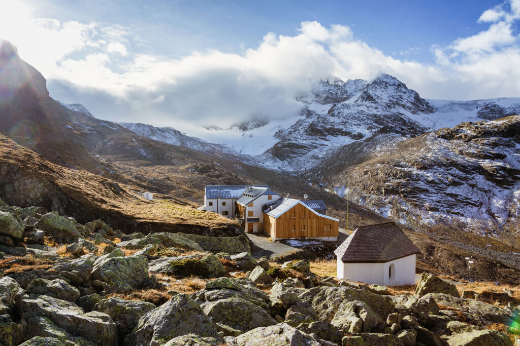
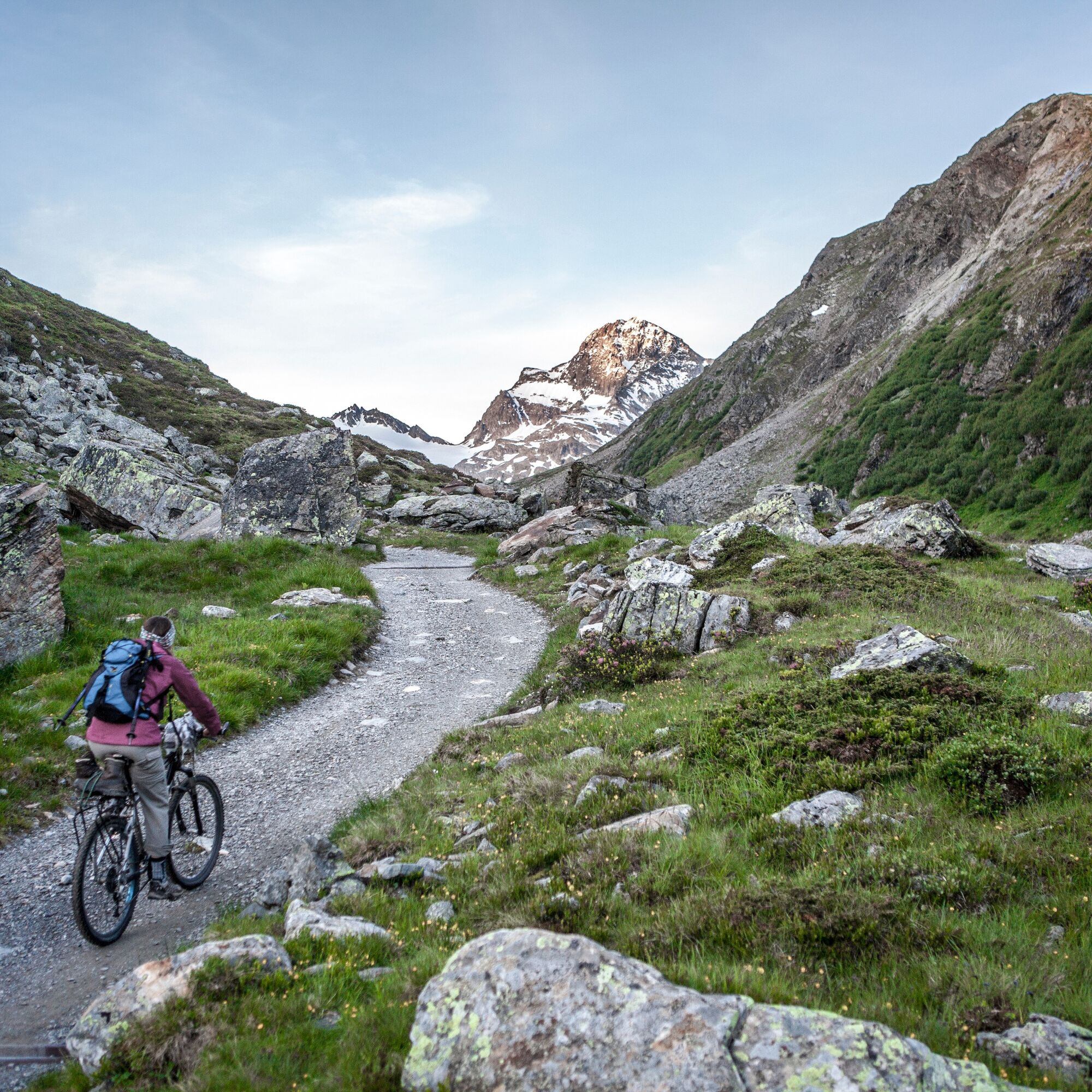
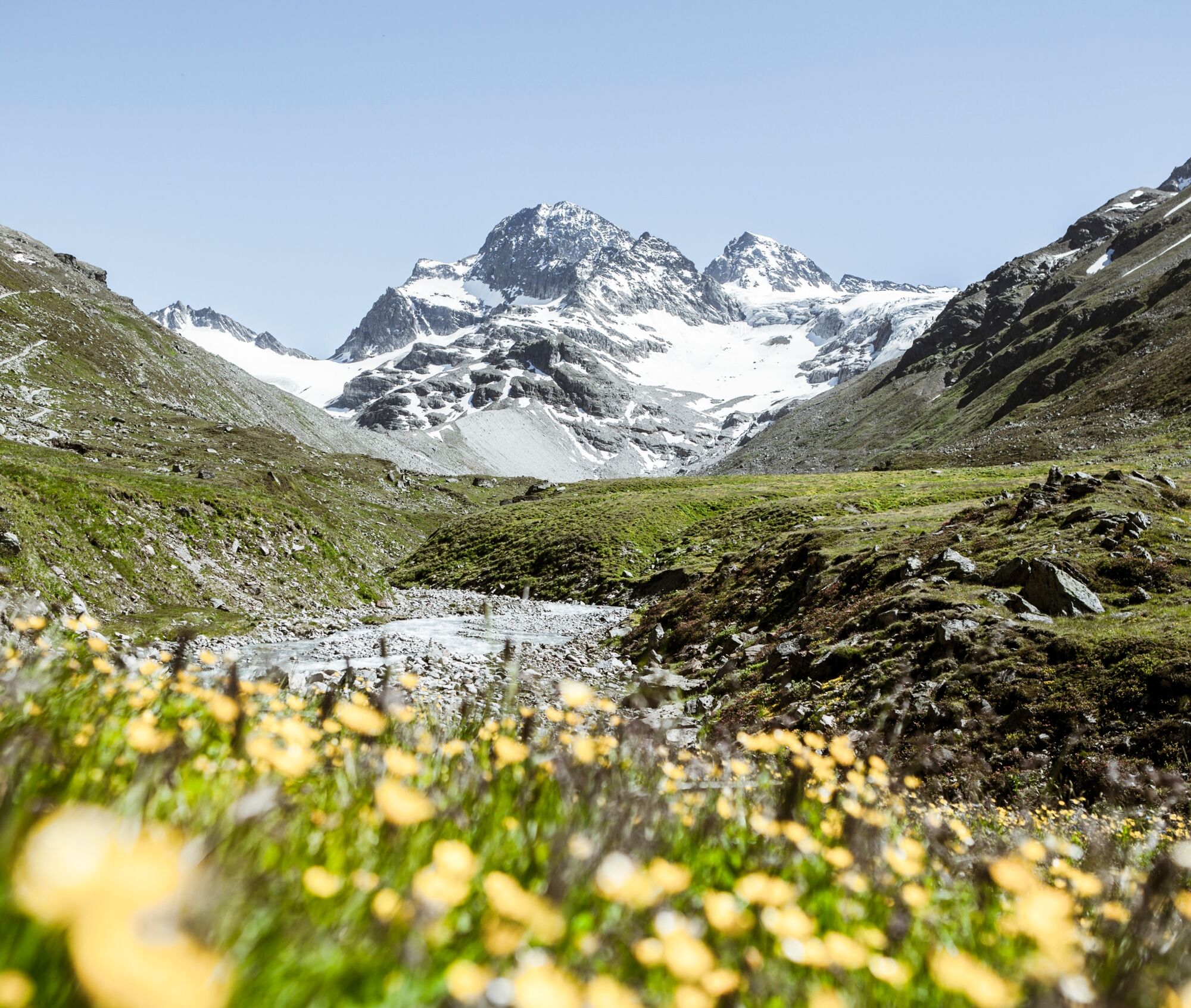
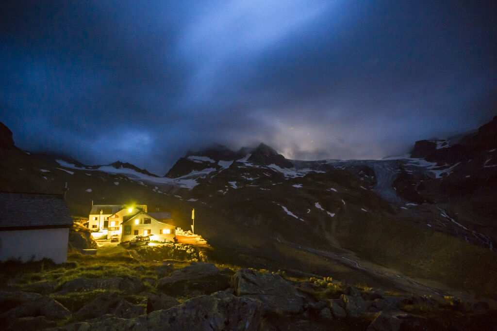
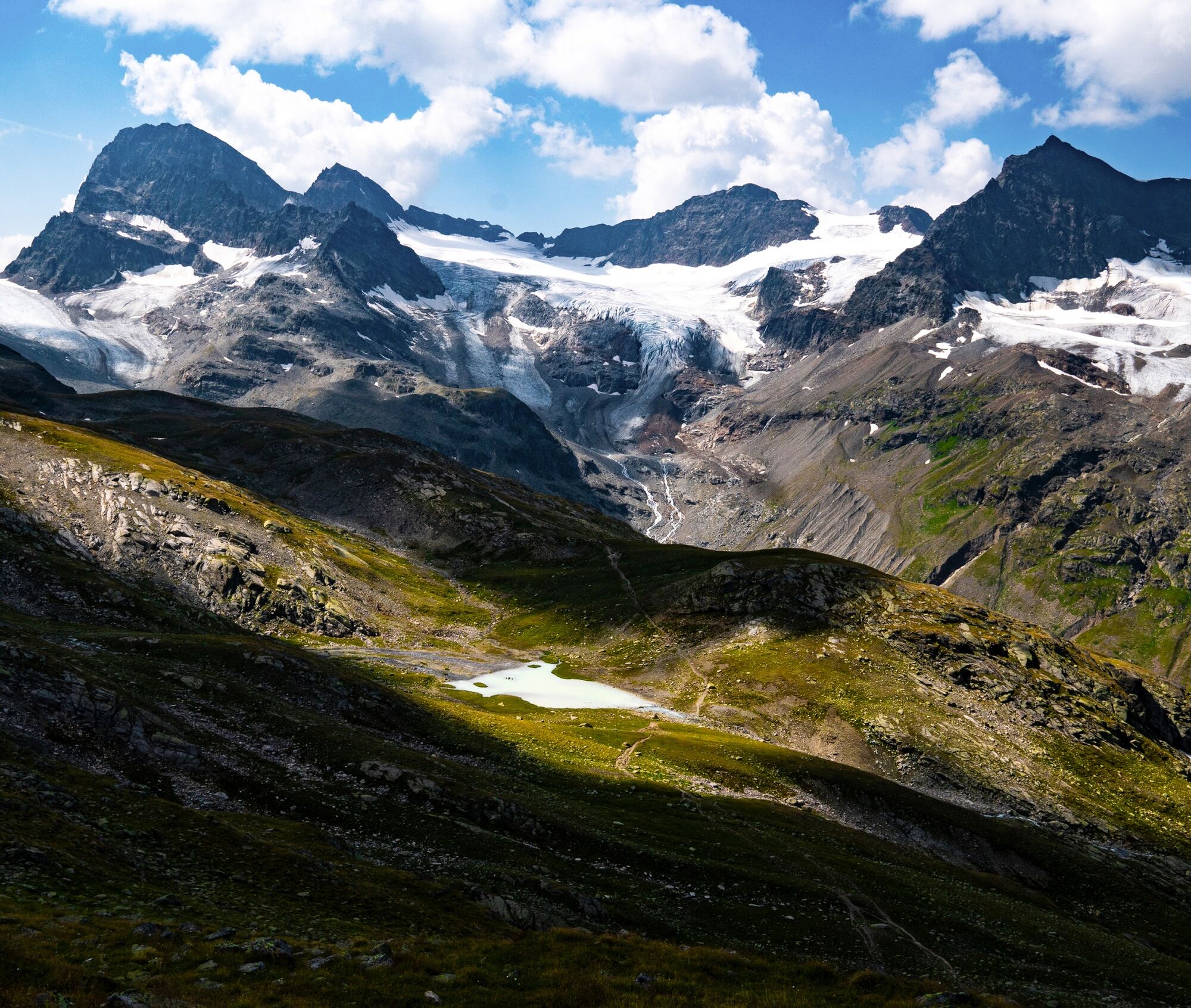
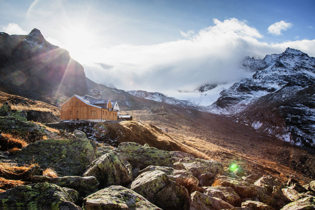
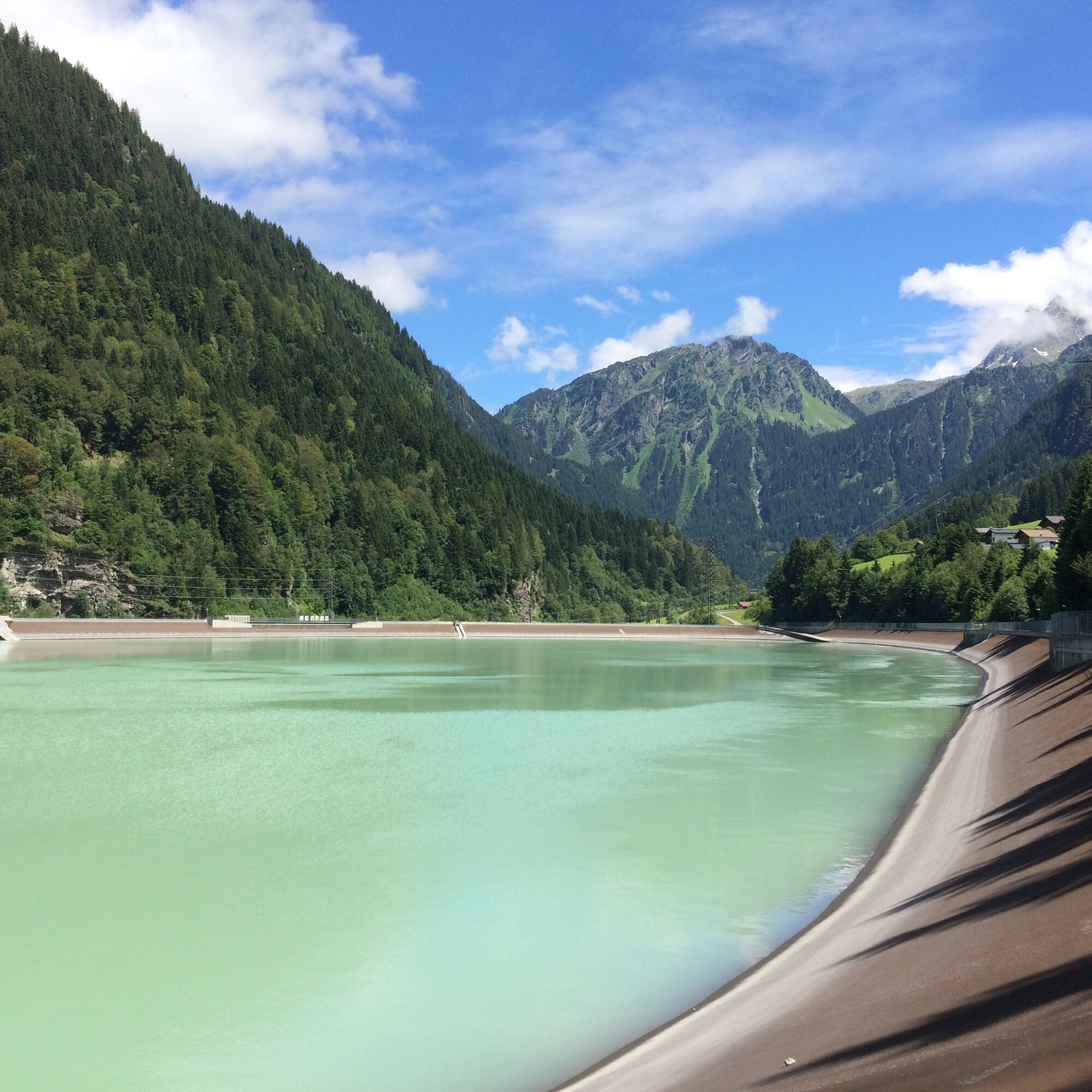
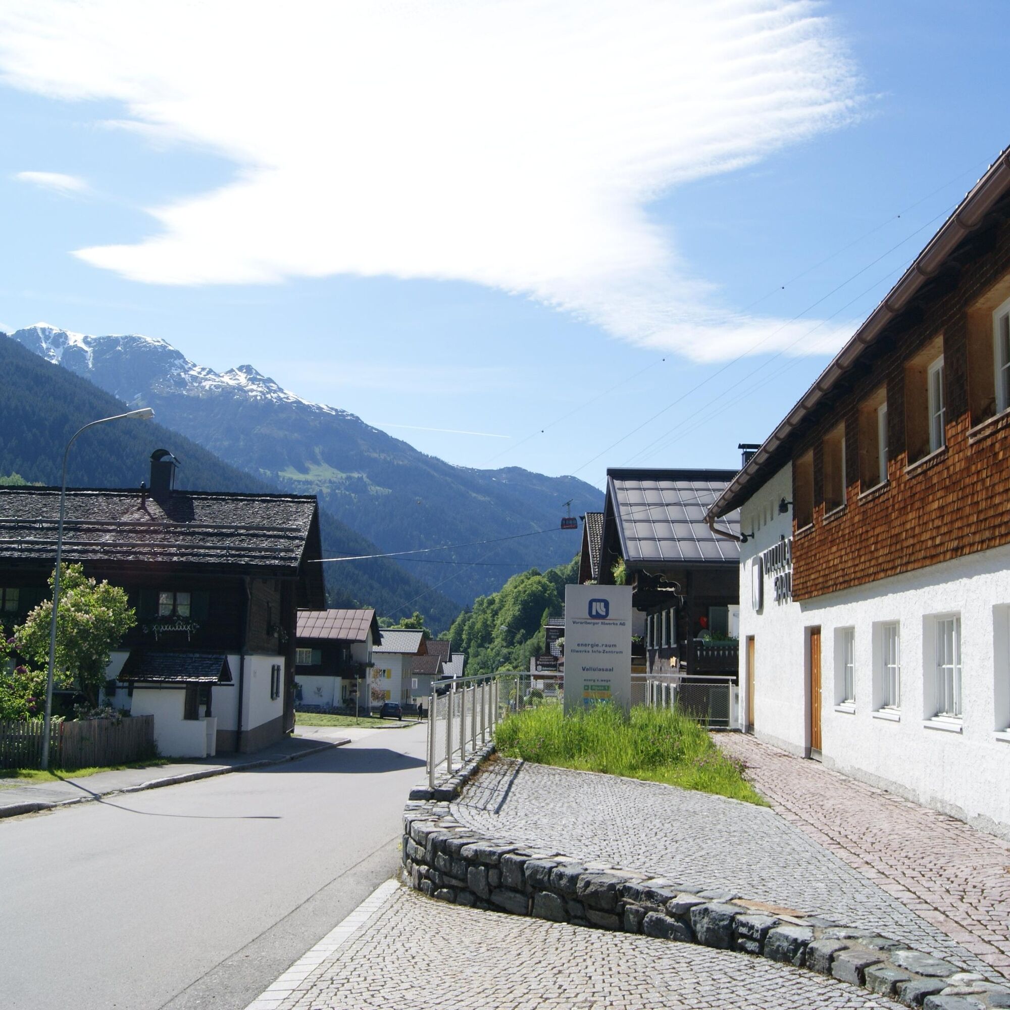
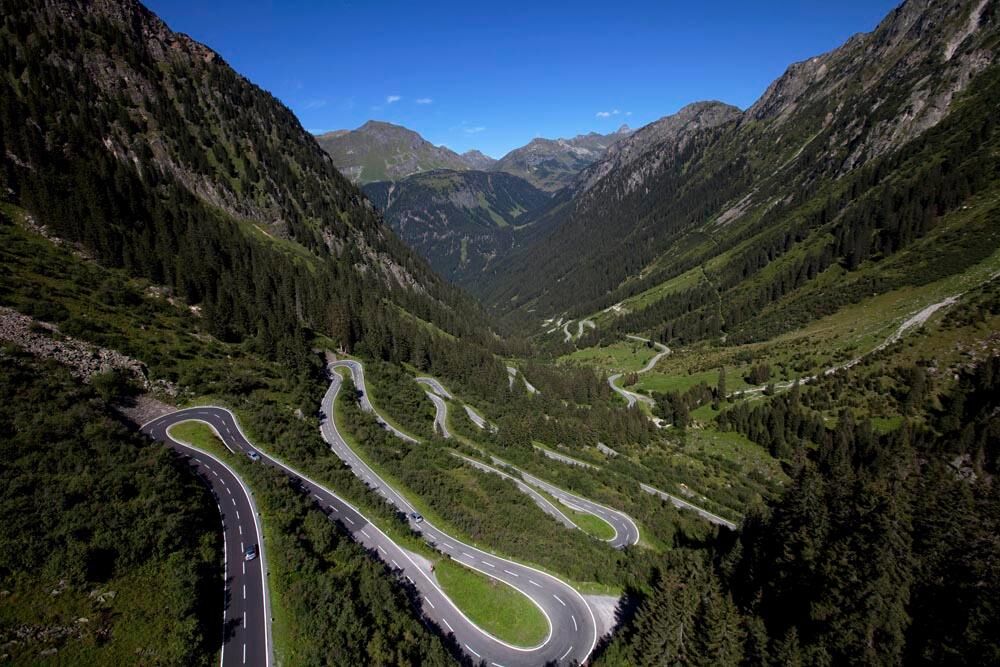
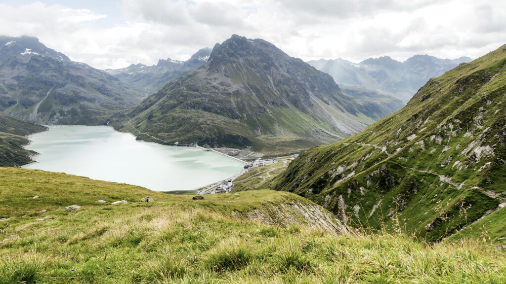
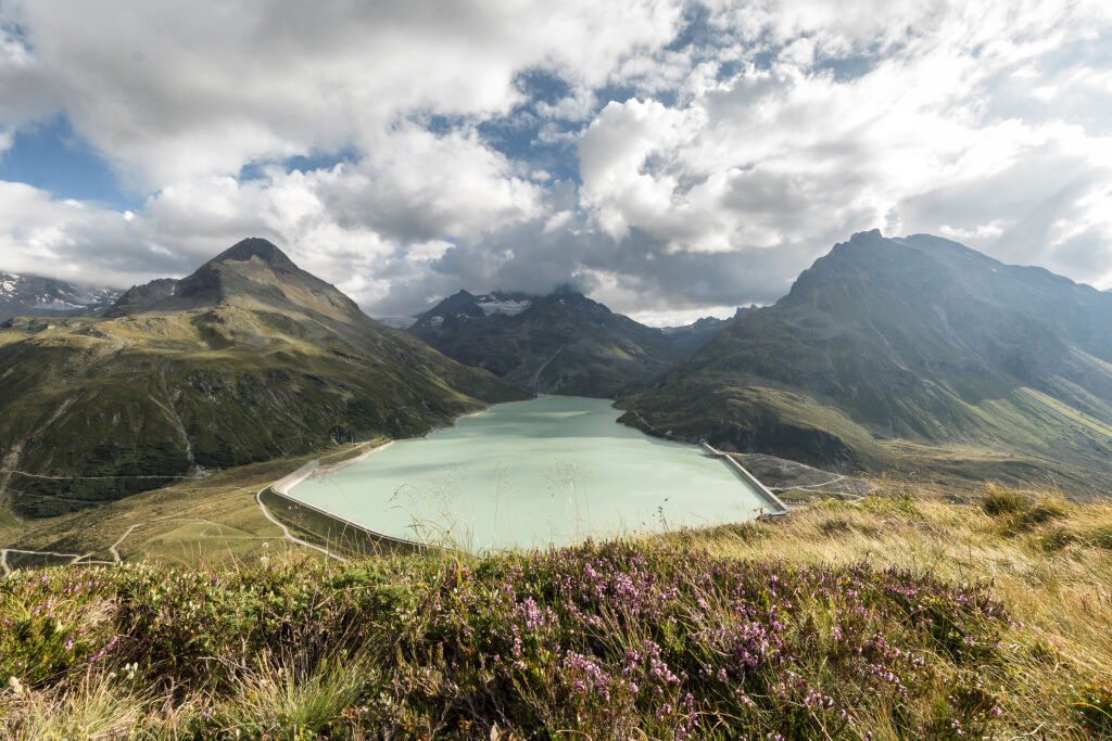
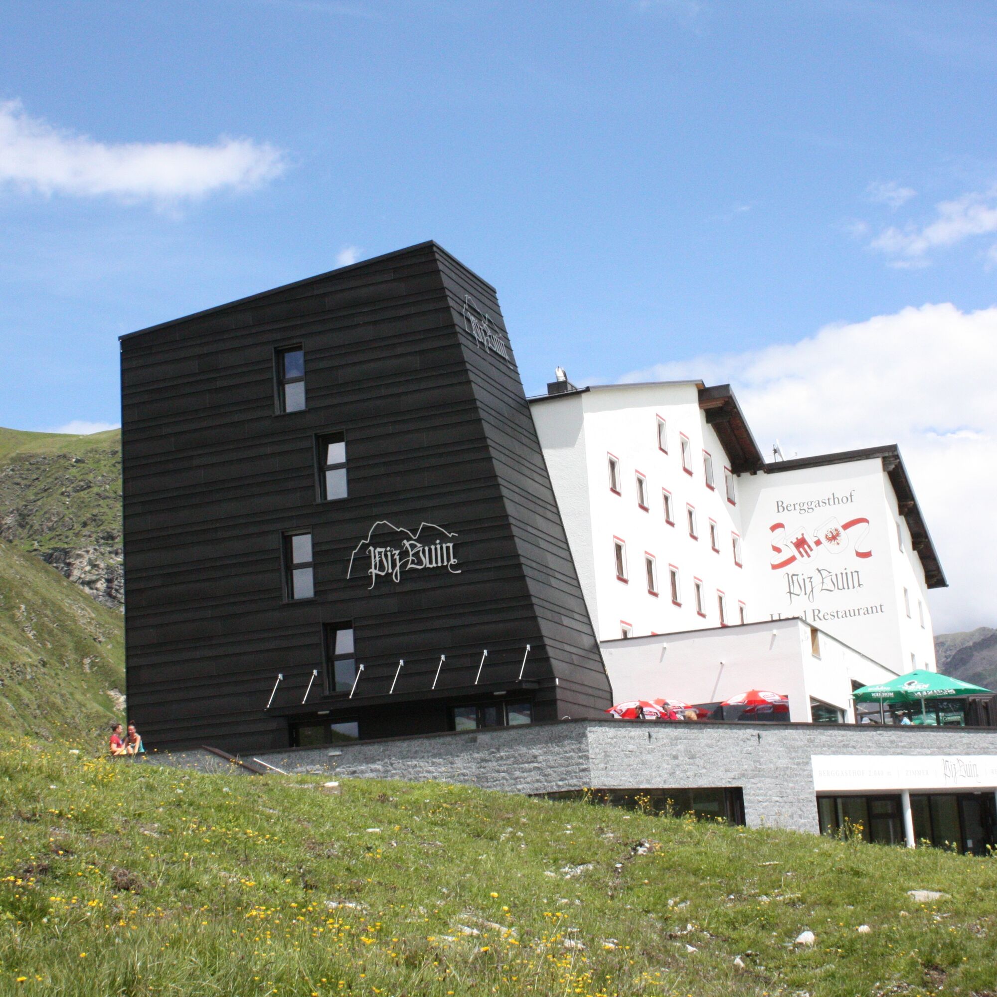
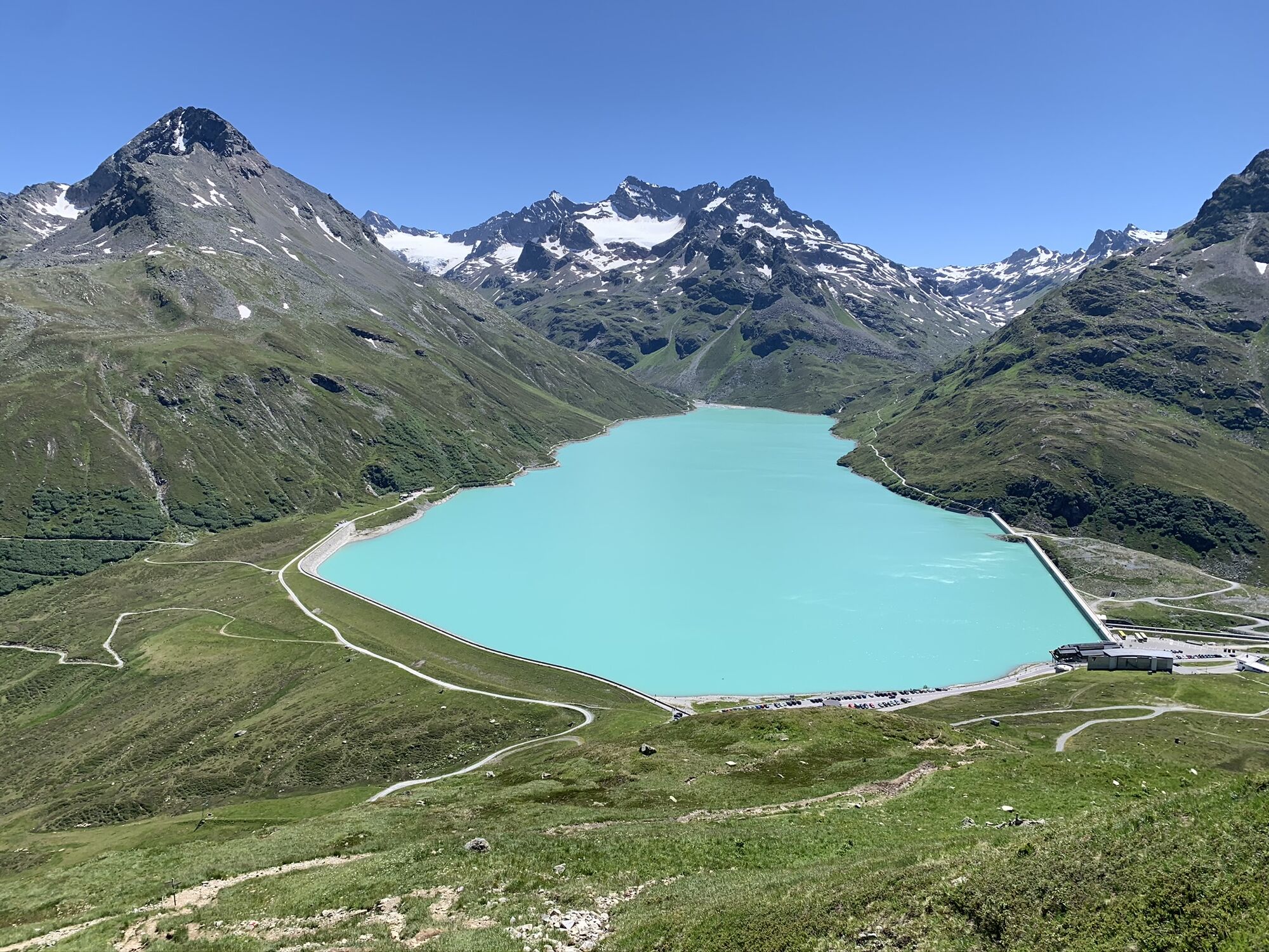
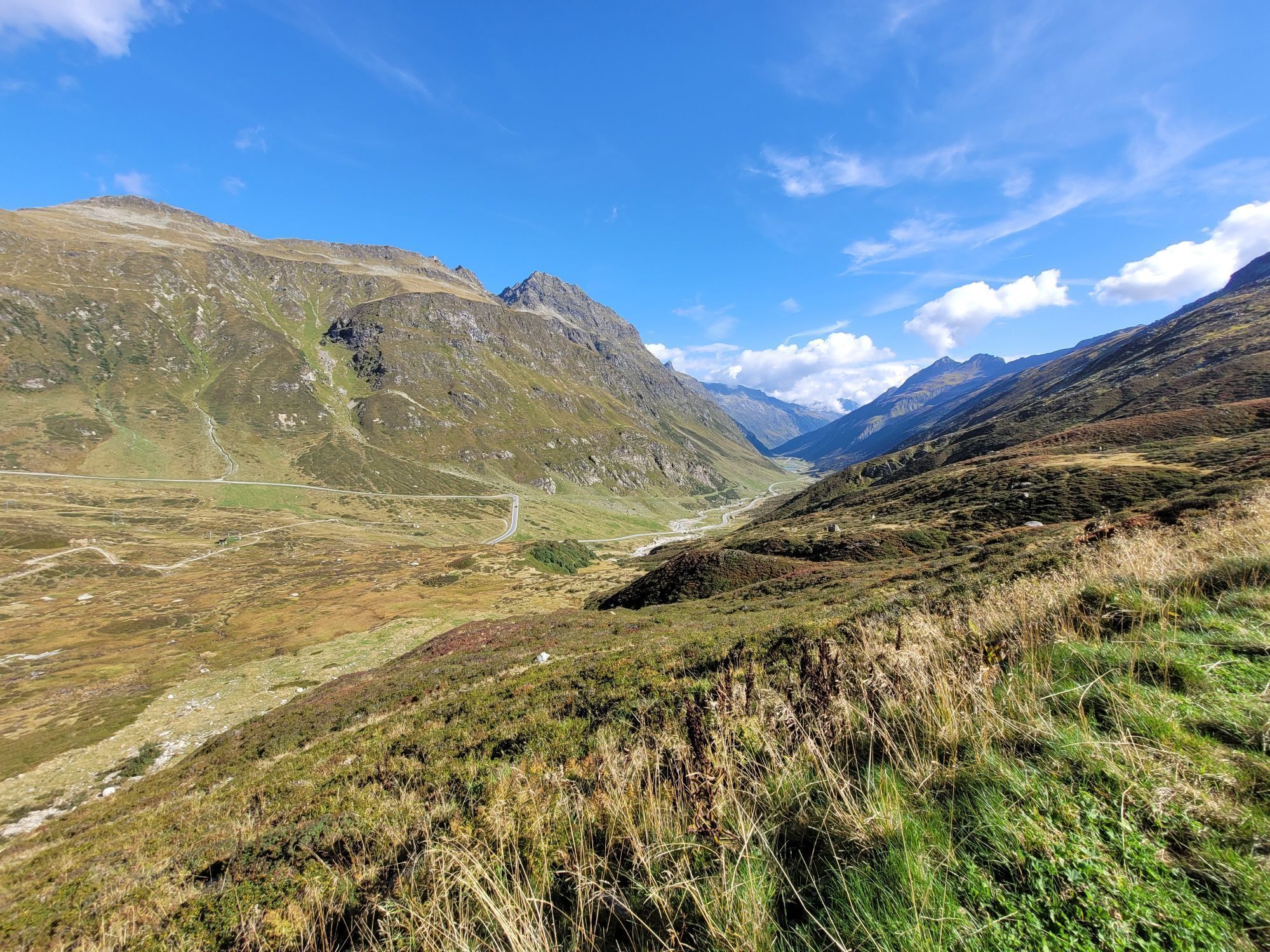
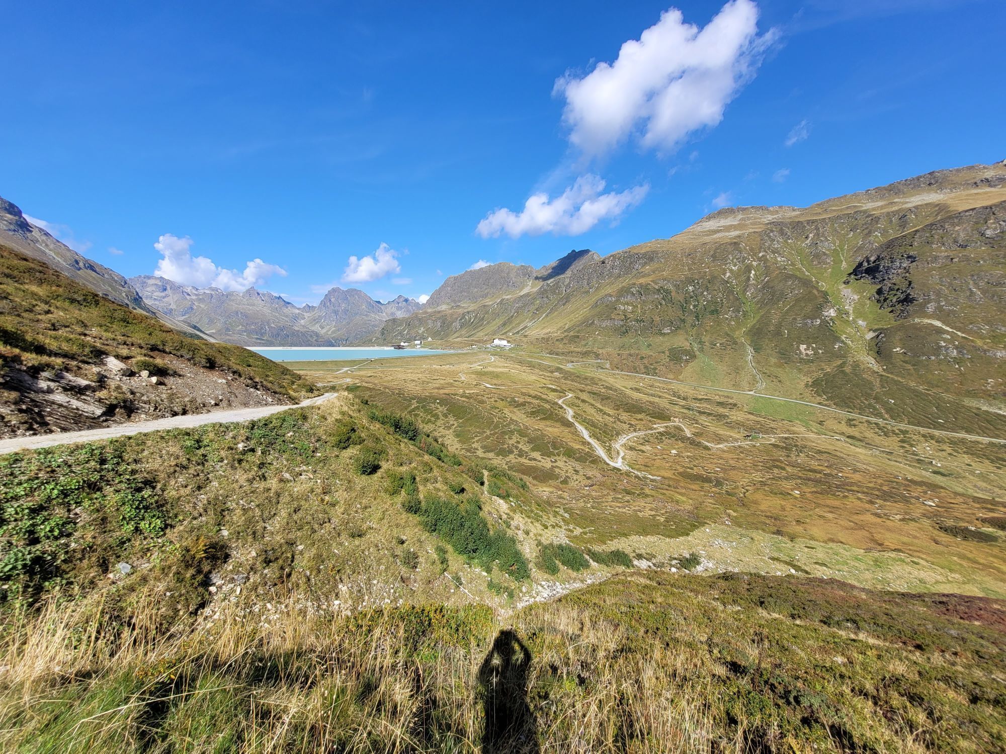
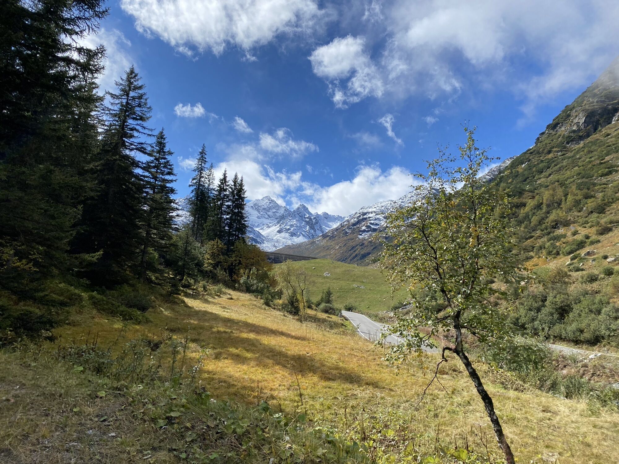
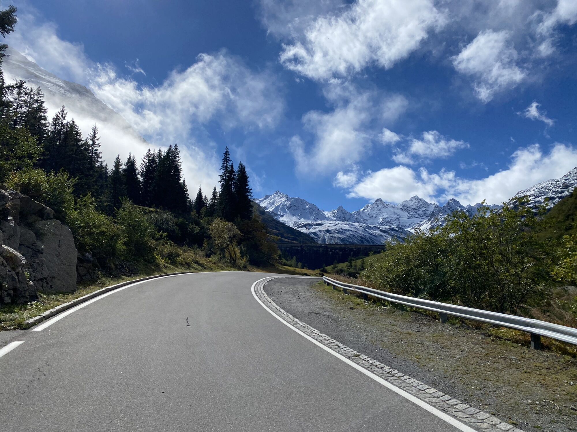
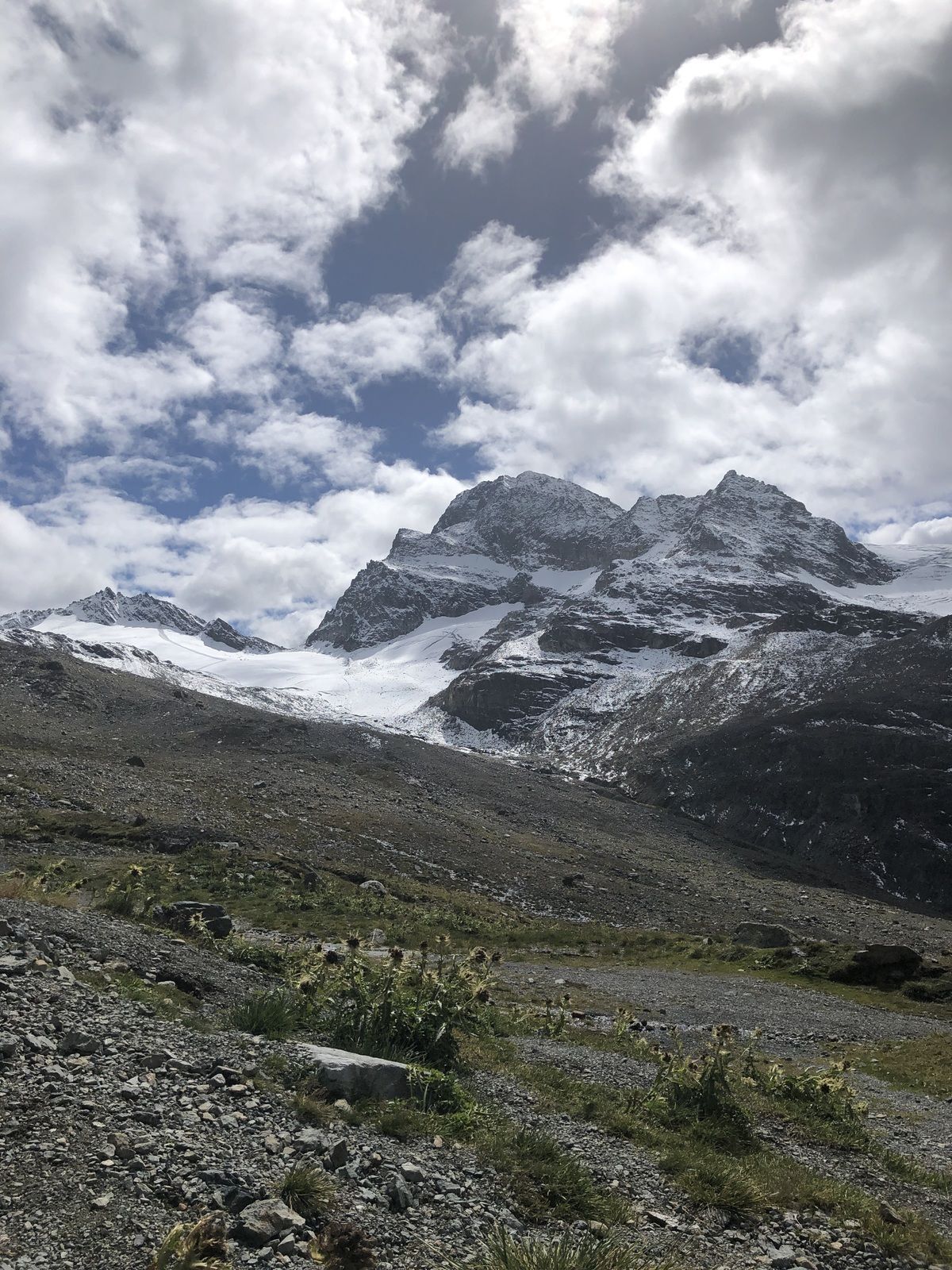
The route starts at Silvretta Park Montafon (Valisera Bahn valley station) towards St. Gallenkirch and leads inland past the Rifabecken to the end of the village of Partenen. There, you follow the Silvretta High Alpine Road with 34 hairpin bends to the Silvretta Lake at over 2,000 m. Shortly after the Piz Buin mountain inn (just below the dam - riding on the Bieler dam is prohibited!) a gravel path leads off to the right. You ride this path to the rear parking lot at the Silvretta Lake. Along the east shore of the Silvretta Lake, you reach the entrance to the Ochsen valley. Here begins the gravel ascent via the Ochsen valley to the Wiesbadener Hut, located at the foot of Piz Buin (3,312 meters). A special highlight is the impressive view of the Ochsen valley glacier in close proximity to the hut.
Note: This route is also the last stage of the Vorarlberg cycle path "From Lake Constance to Piz Buin."
Yes
Spare battery, charger, bike helmet, day bike backpack (approx. 20 liters) with rain cover, comfortable sports shoes, possibly cycling shoes, weather-appropriate and durable clothing in multiple layers, possibly cycling jersey, possibly cycling gloves, air pump, bike tools, sun and rain protection, provisions and drinking water, water bottle and suitable holder, first aid kit, pocket knife, mobile phone, possibly phone holder for the handlebars, possibly headlamp and reflectors, maps
EMERGENCY CALL: 144
112 European emergency call (works with any mobile/network)
www.vorarlberg.travel/sicherheitstipps
Gaschurn Versettla Bahn valley station
Important information about the Silvretta Bielerhöhe / Silvretta Lake area:
- Riding along the lakeshore is only permitted on the east shore up to the Klostertal entrance.
- For riding from Silvretta Bielerhöhe to Wiesbadener Hut / Klostertal environmental hut, a recommended time restriction from 10:00 a.m. to 3:00 p.m. applies. During this time, riding should be avoided as there are too many pedestrians on the Silvretta lake circular path.
- Pedestrians always have the right of way.
Free activity map for (e-)mountain biking available at all Montafon tourism offices.
Popular tours in the neighbourhood
- 4,7
Smuggler’s path
mediumThematic route8,60 km - 5,0
Großer Piz Buin (3.312m), Normalweg 2019 über Ochsentaler Gletscher
heavyHigh tour24,1 km - 2,8
Bielerhöhe and circular hike around the Silvretta reservoir
mediumHiking13,1 km - 4,7
Alpgues Rundweg
mediumThematic route9,36 km - 4,4
Vom Kopssee zur Breitspitze Gemeinde Gaschurn, Vorarlberg/Österreich
mediumHiking12,5 km - 4,5
Zamangspitze summit path
mediumThematic route7,07 km - 5,0
Wiegensee-Kopssee
mediumHiking8,17 km - 4,4
Madrisella summit path
mediumThematic route10,8 km Rund ums Hohe Rad
heavyThematic route15,4 km- 1,0
High mountain route to the highest summit of Vorarlberg, the Piz Buin (3,312 m)
heavyHigh tour22,4 km
Hiking & Tracking


Don't miss out on offers and inspiration for your next holiday
Your e-mail address has been added to the mailing list.