Altach - Emser Hütte - St.Rochus - Bütze
heavy
Navigate
Navigate
Get this tour on your mobile
Altach - Emser Hütte - St.Rochus - Bütze
heavy
Mountainbike
27.82
km
Scan the QR code and start navigation in the bergfex app

Hiking & Tracking


Distance
27.82
km
Duration
03:55
h
Ascent
1,154
m
Sea level
408 -
1,424
m
Track download
Altach - Emser Hütte - St.Rochus - Bütze
heavy
Mountainbike
27.82
km


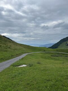
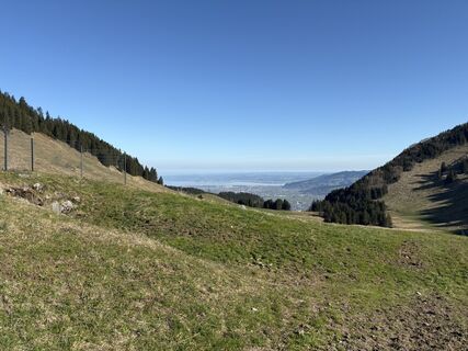
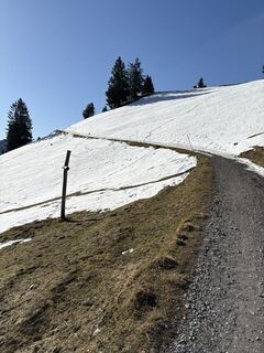
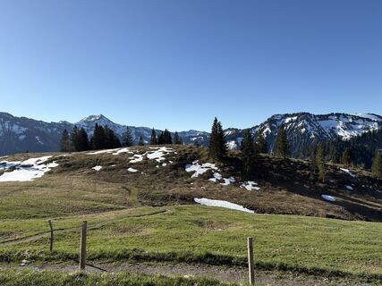
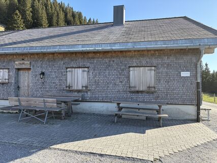
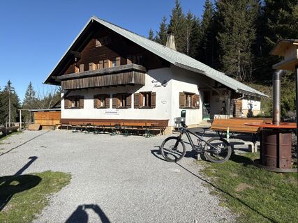
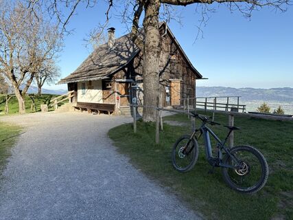
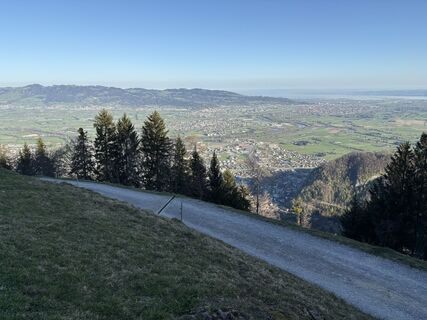
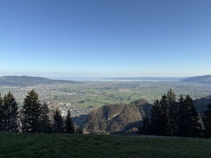
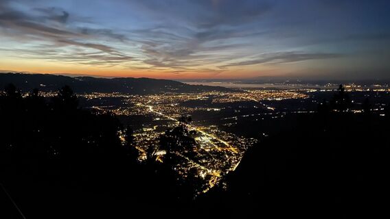
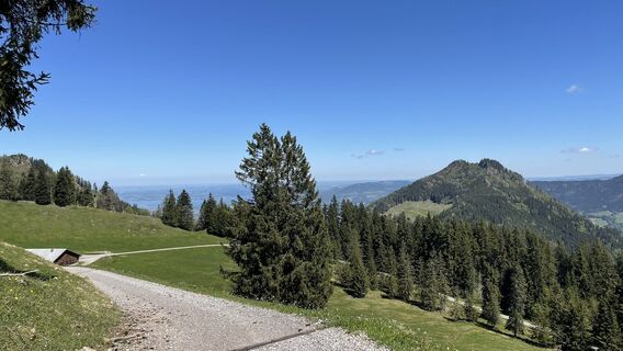
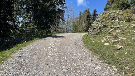
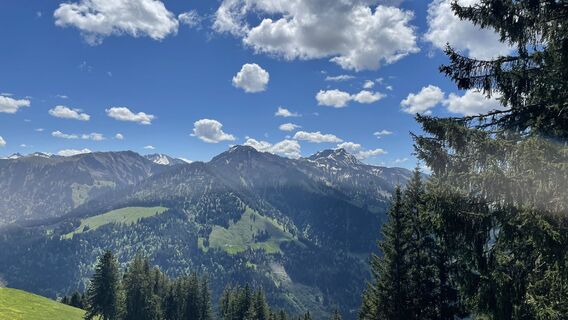
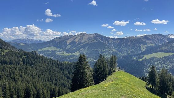
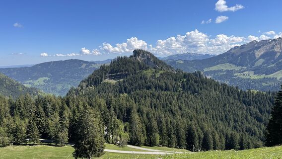
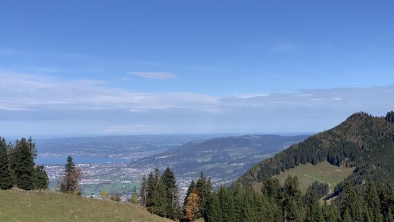
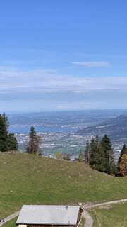
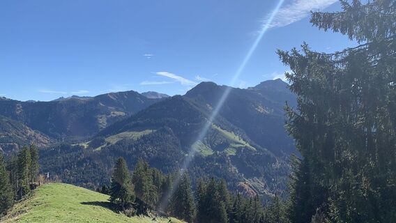
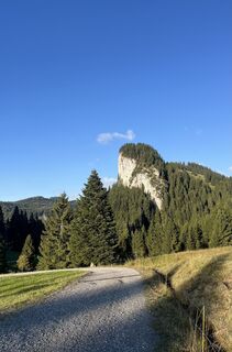
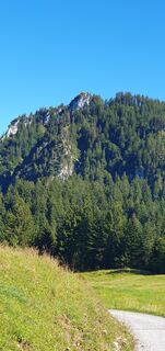
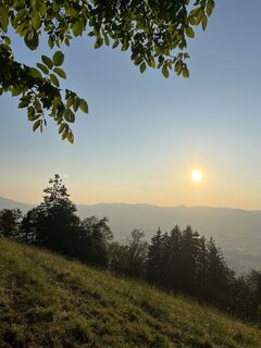
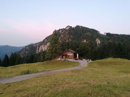
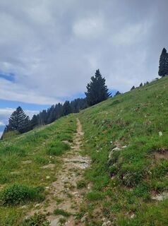
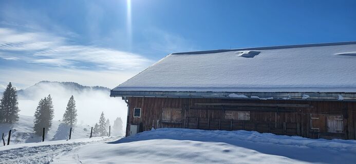
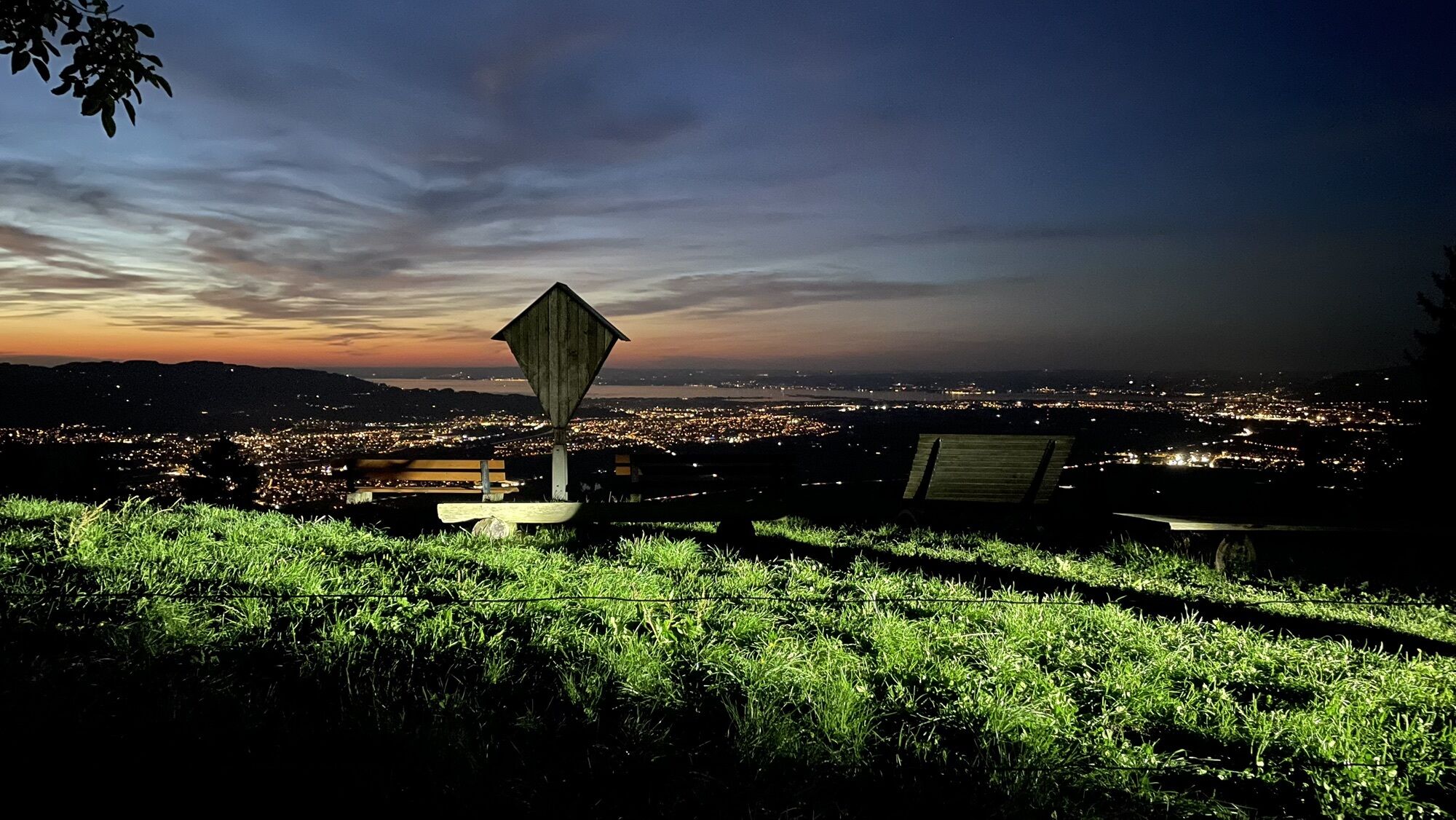
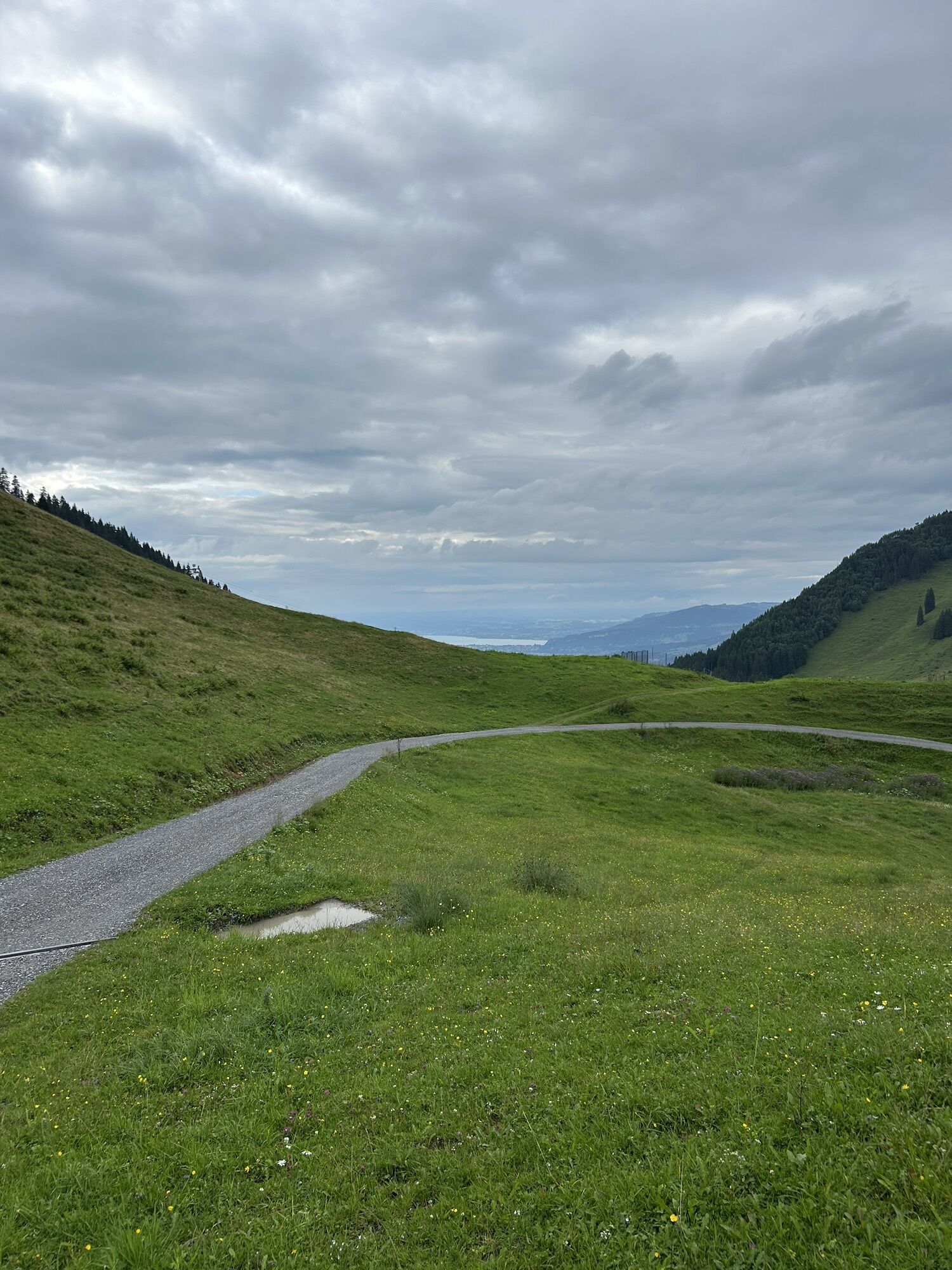
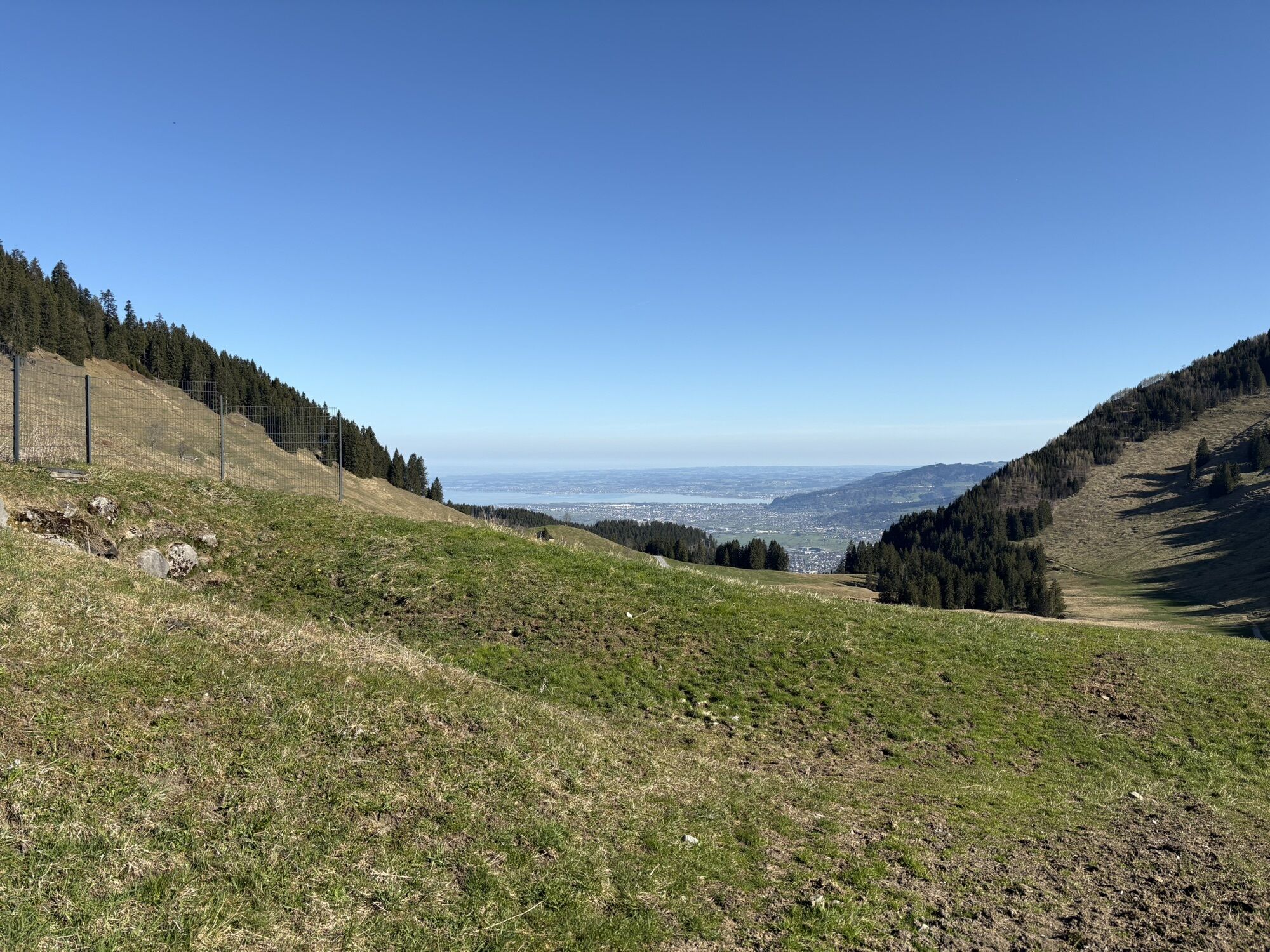
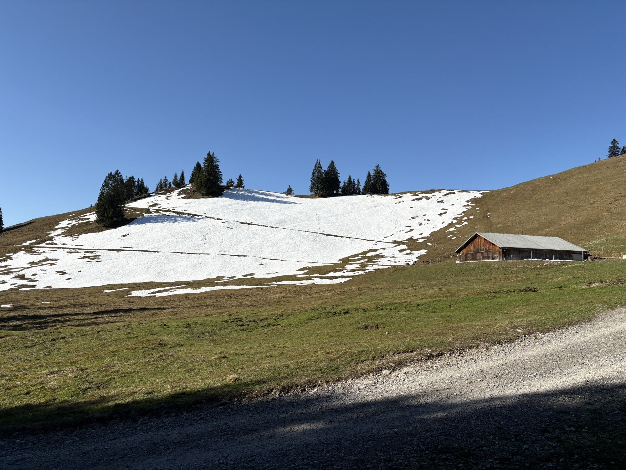
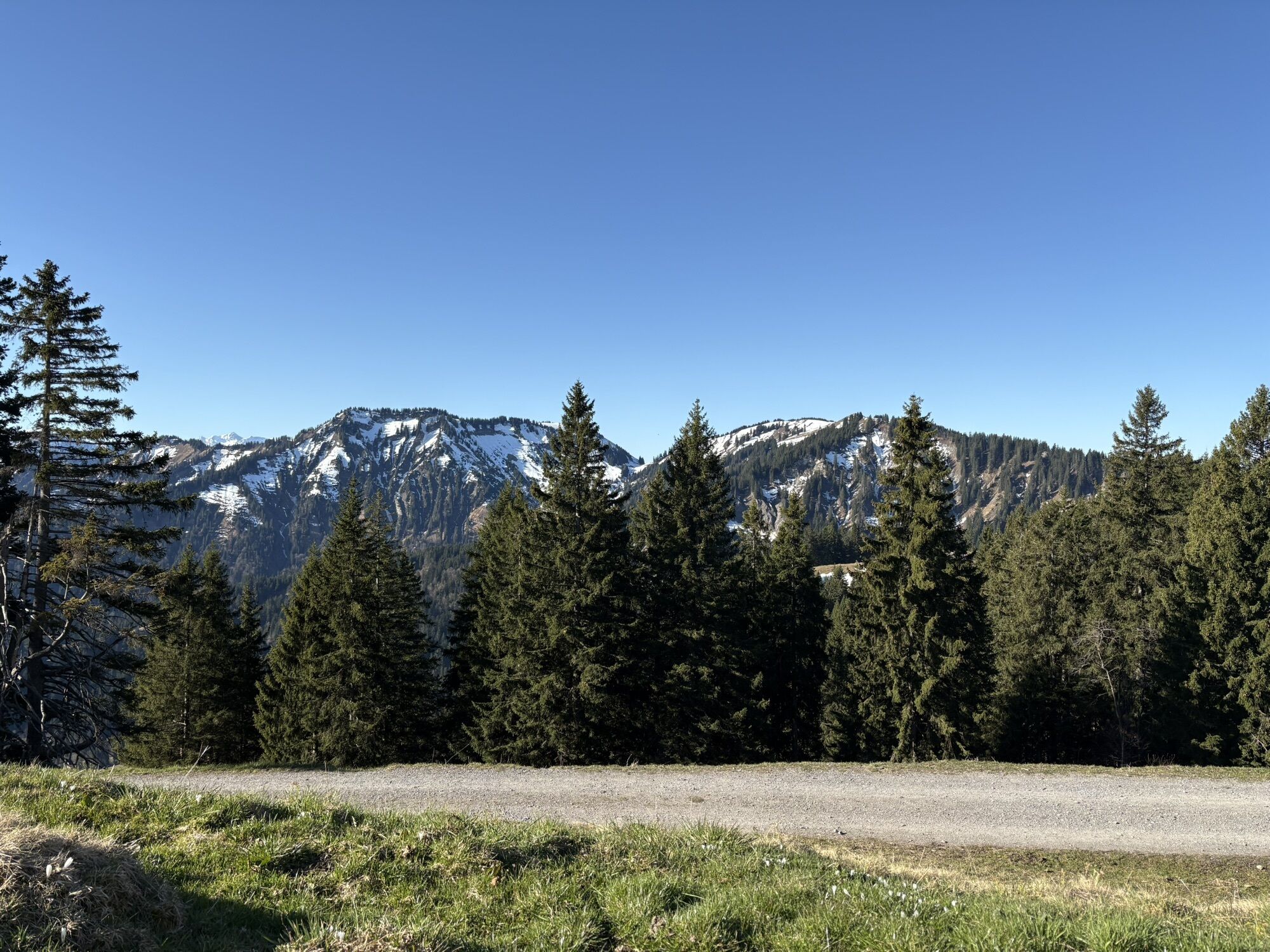
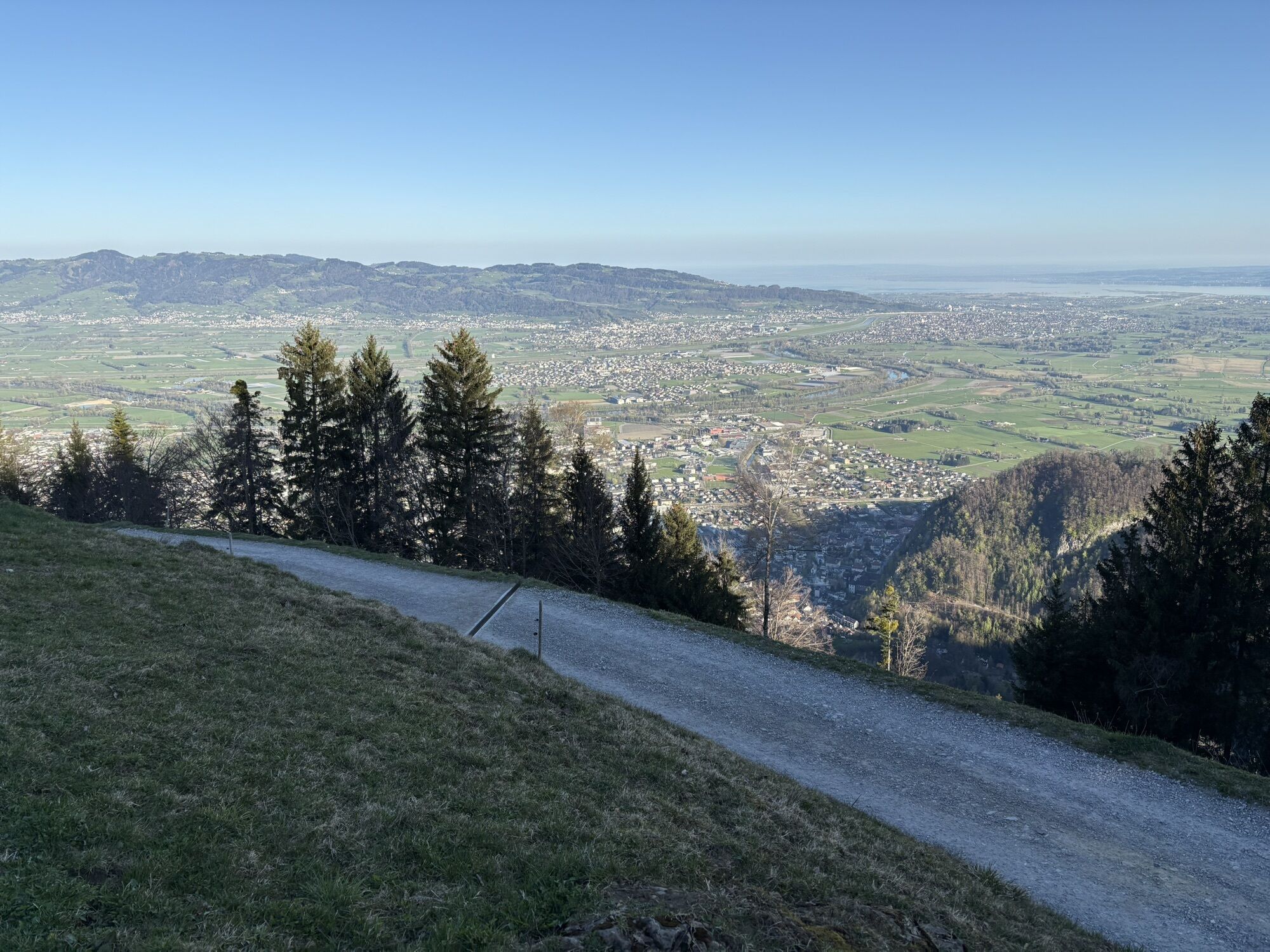
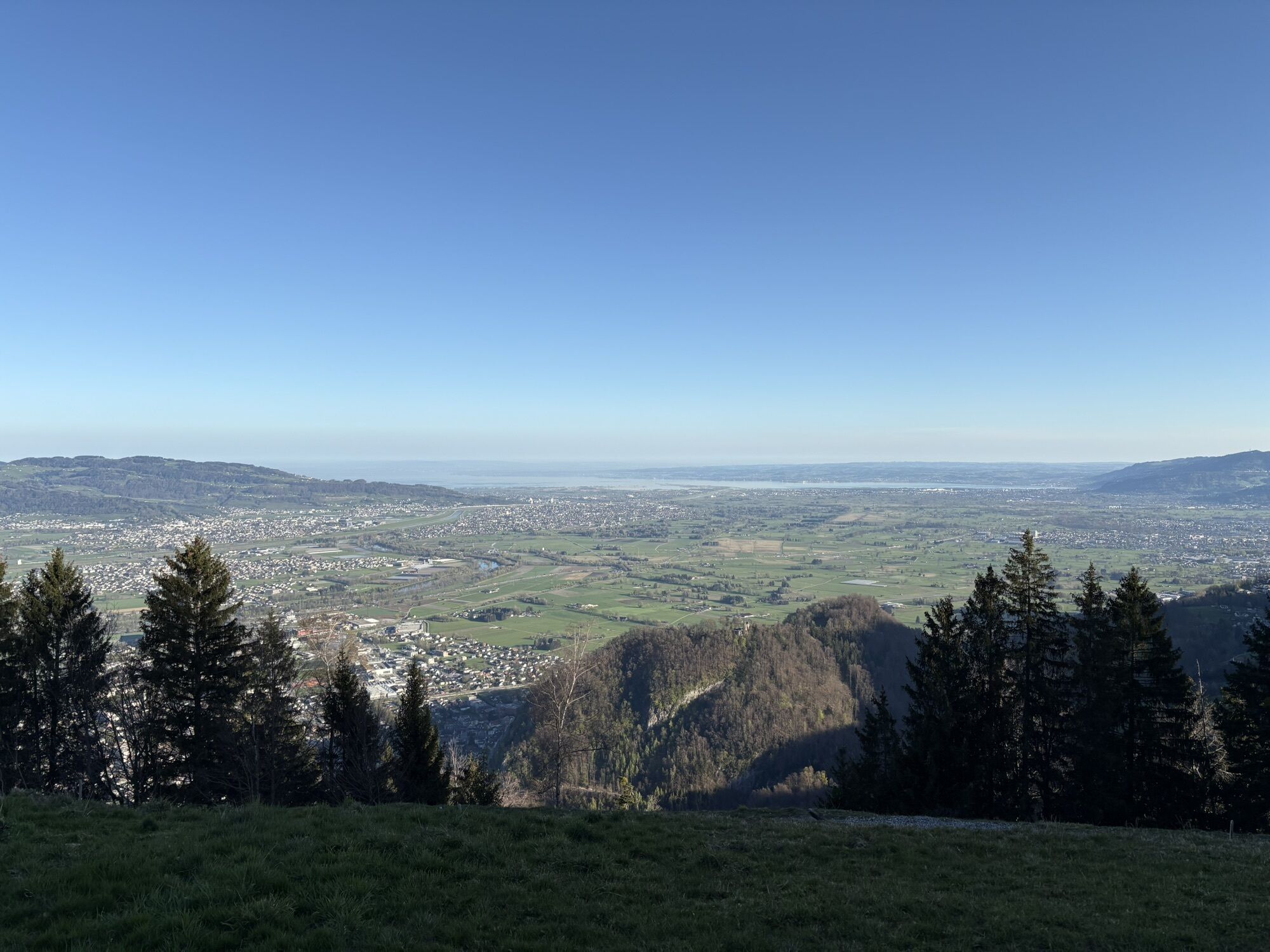
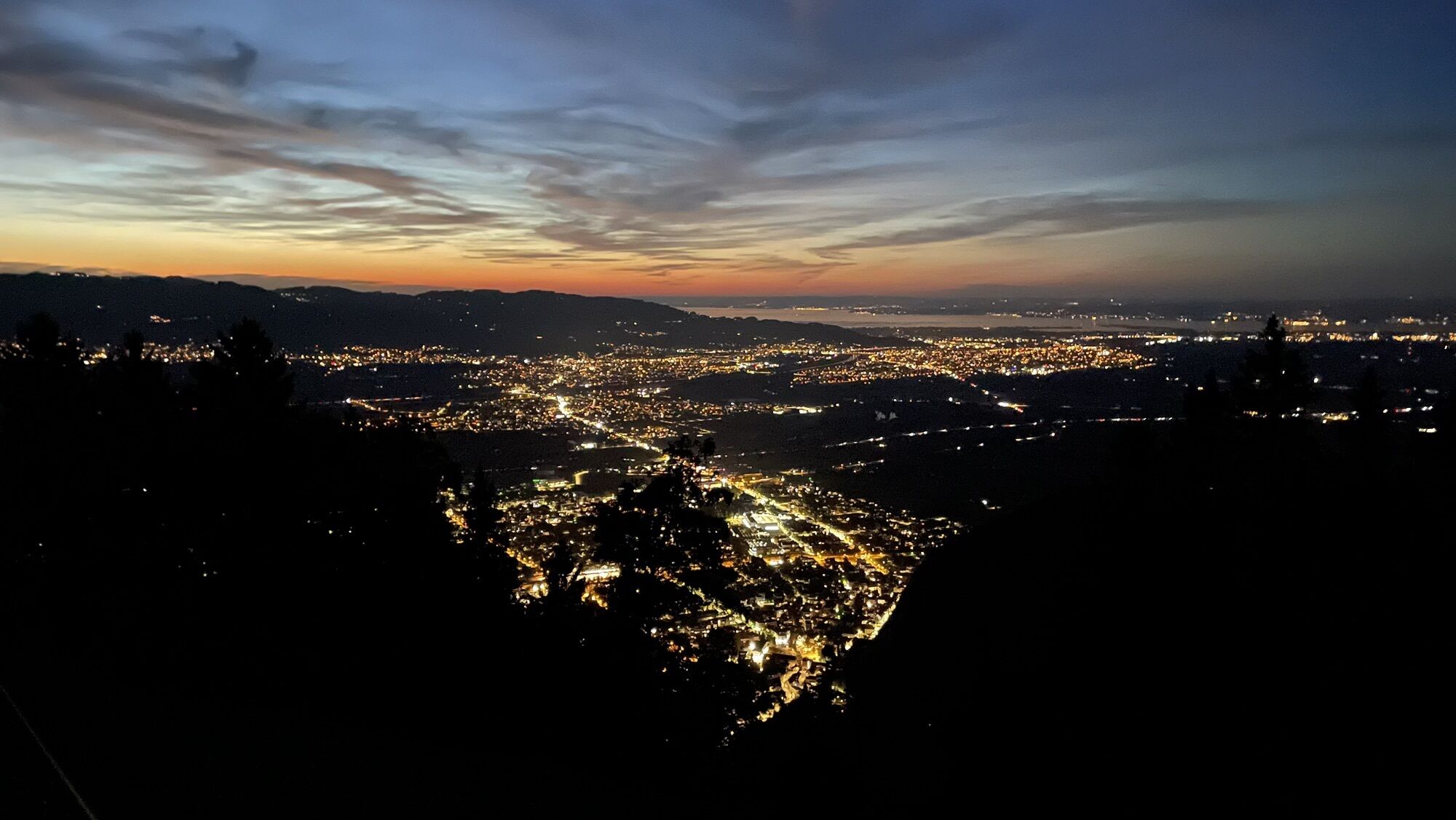
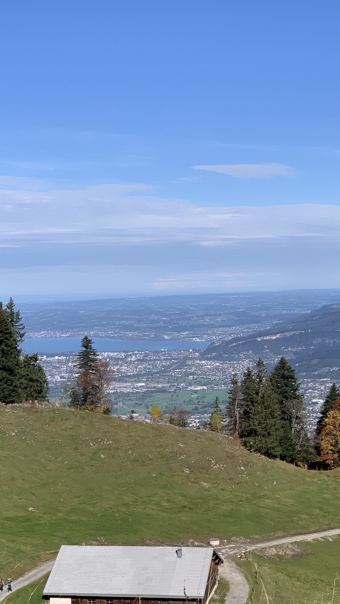
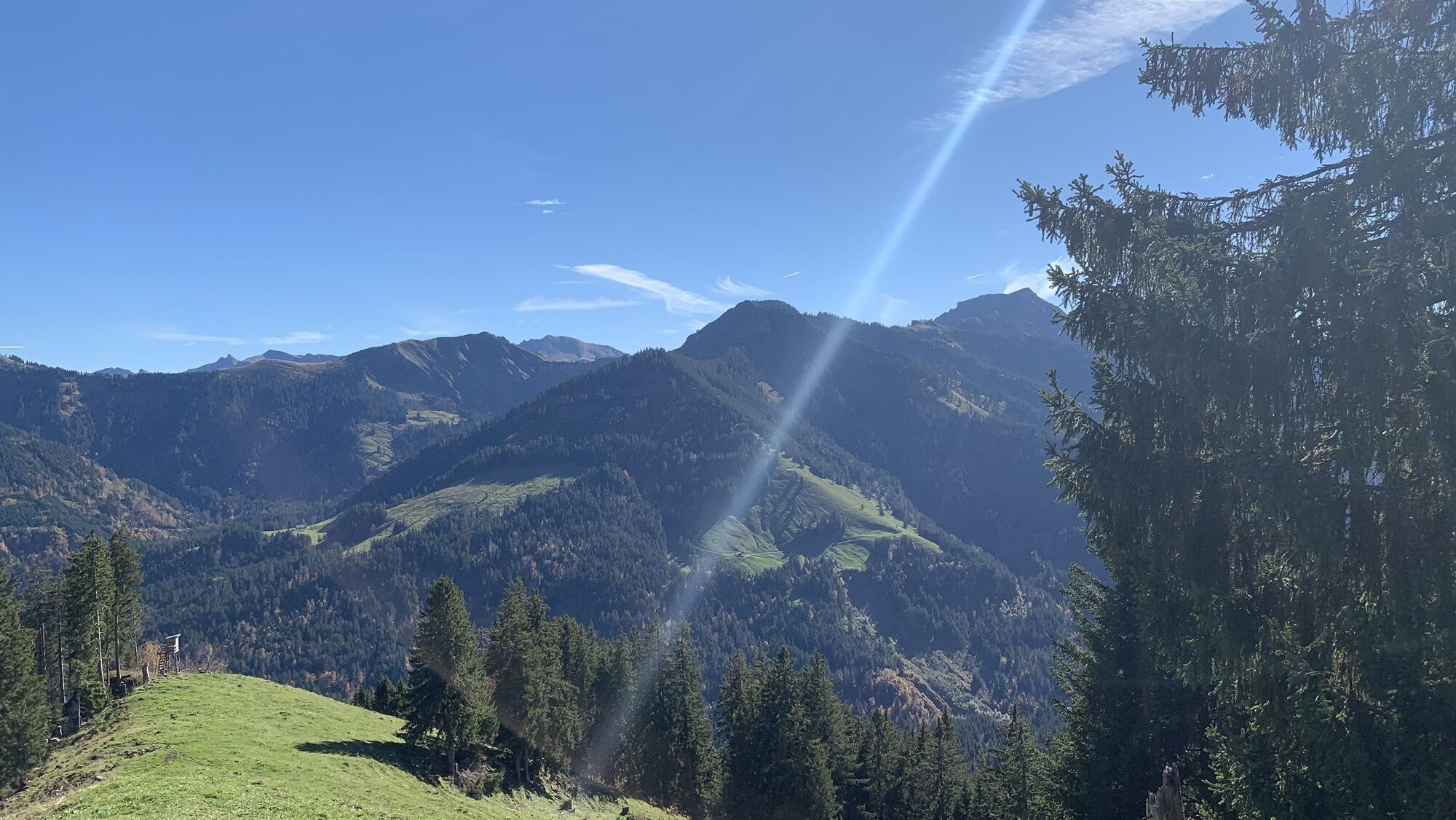
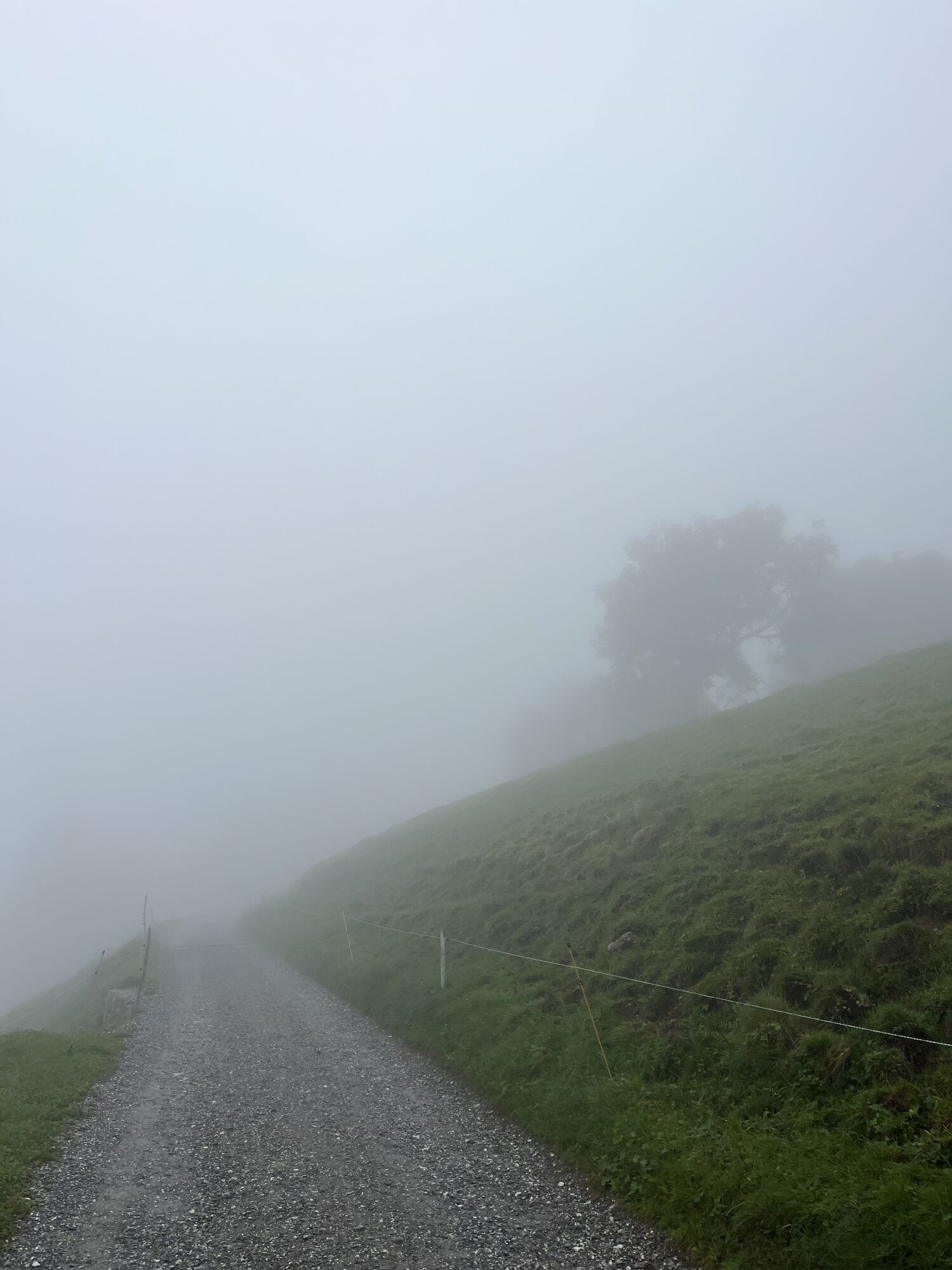
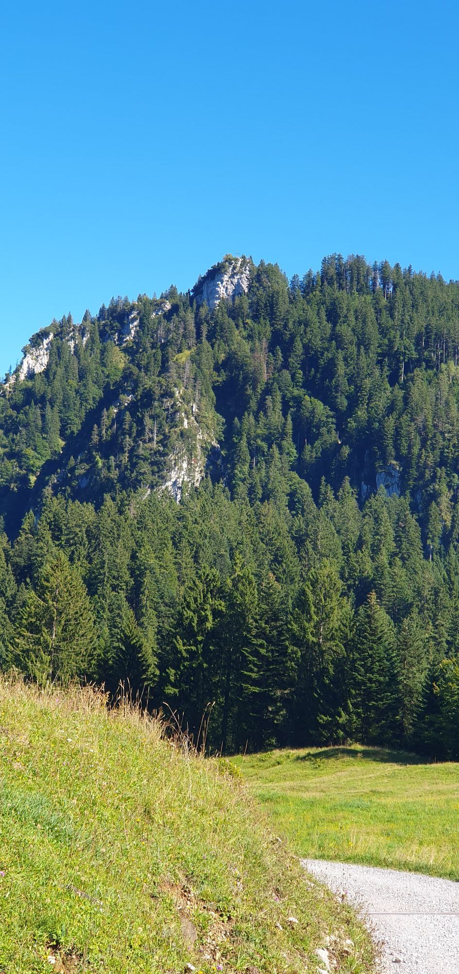
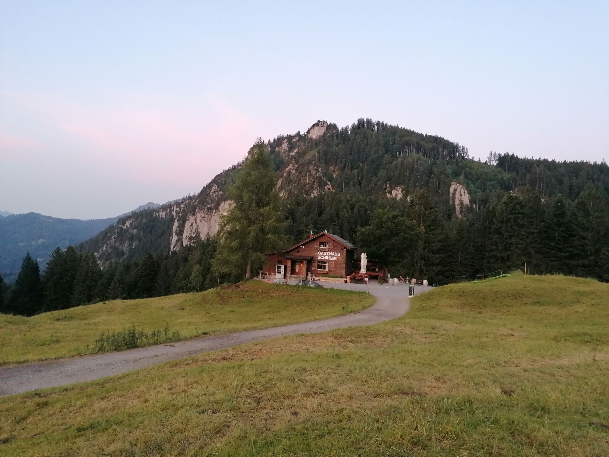
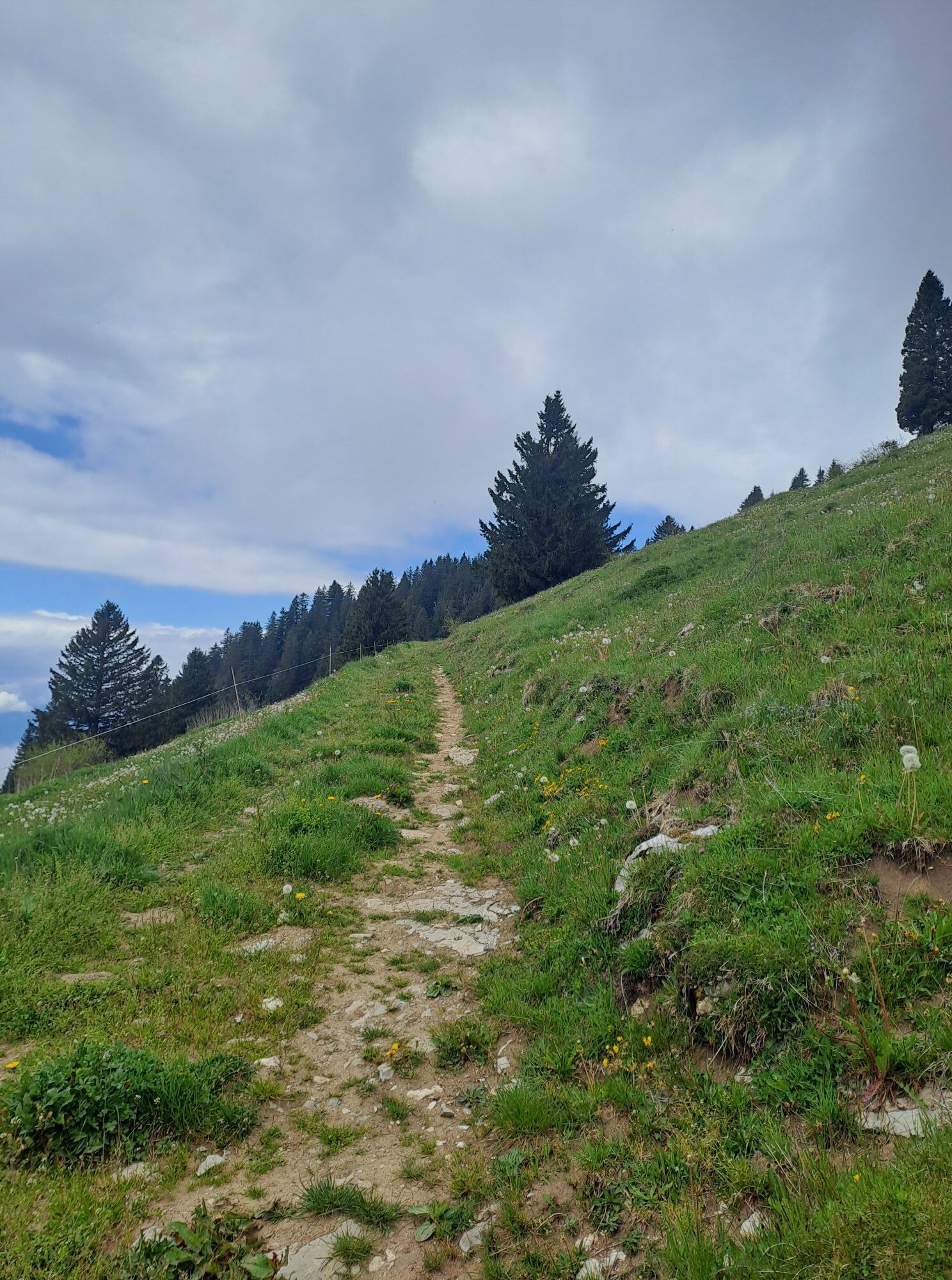
Photos from our users
-
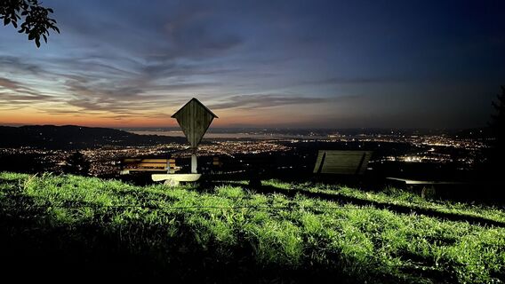
 © Markus gutensohnCreated on 07.09.2025
 -
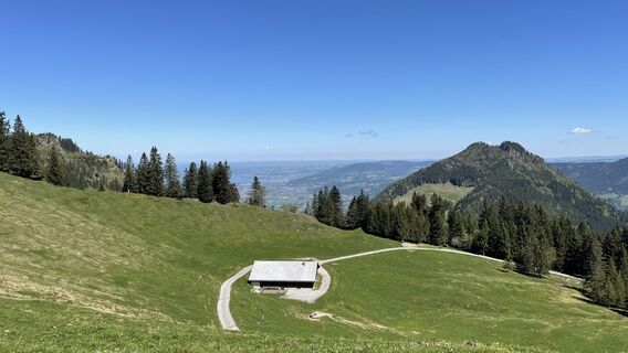 © Markus gutensohnCreated on 14.05.2024
 -
 © Josef WohlgenanntCreated on 30.07.2025
 -
 © Simon FusseneggerCreated on 11.04.2025
 -
 © Simon FusseneggerCreated on 11.04.2025
 -
 © Simon FusseneggerCreated on 11.04.2025
 -
 © Simon FusseneggerCreated on 11.04.2025
 -
 © Simon FusseneggerCreated on 11.04.2025
 -
 © Simon FusseneggerCreated on 11.04.2025
 -
 © Simon FusseneggerCreated on 11.04.2025
 -
 © Simon FusseneggerCreated on 11.04.2025
 -
 © Simon FusseneggerCreated on 11.04.2025
 -
 © Simon FusseneggerCreated on 11.04.2025
 -
 © Simon FusseneggerCreated on 11.04.2025
 -
 © Markus gutensohnCreated on 07.09.2025
 -
 © Markus gutensohnCreated on 14.05.2024
 -
 © Markus gutensohnCreated on 14.05.2024
 -
 © Markus gutensohnCreated on 14.05.2024
 -
 © Markus gutensohnCreated on 14.05.2024
 -
 © Markus gutensohnCreated on 14.05.2024
 -
 © Winfried PeterCreated on 16.10.2022
 -
 © Winfried PeterCreated on 16.10.2022
 -
 © Winfried PeterCreated on 16.10.2022
 -
 © Aurelian BöhlerCreated on 02.10.2025
 -
 © Aurelian BöhlerCreated on 23.09.2025
 -
 © MoniCreated on 31.08.2025
 -
 © Aurelian BöhlerCreated on 19.06.2025
 -
 © TurbinioCreated on 17.06.2025
 -
 © Greg+LisaCreated on 13.05.2025
 -
 © Isabella LeopolderCreated on 17.02.2025
 -
 © Monika gillitschkaCreated on 04.01.2025


Route
Kapelle Oberer Berg
(623 m)
Place of worship
5.7 km
Hohenems
(432 m)
City
9.3 km
Berggasthaus Schuttannen
(1,151 m)
Shelter
17.9 km
Dornbirn
(437 m)
City
19.0 km
St.Rochus
(623 m)
Place of worship
22.5 km
Kapelle hl. Sebastian und hl. Antonius
(447 m)
Place of worship
24.3 km
Hopfreben
(413 m)
Neighbourhood
26.5 km
Route
Altach - Emser Hütte - St.Rochus - Bütze
heavy
Mountainbike
27.82
km
Altach
(411 m)
Village
1.0 km
Götzis
(448 m)
City
3.5 km
Kapelle Unterer Berg
(527 m)
Place of worship
4.8 km
Götznerberg
(530 m)
Neighbourhood
4.8 km
Kapelle Oberer Berg
(623 m)
Place of worship
5.7 km
Jausestation Fischteich
(702 m)
Restaurant
6.1 km
Rappenloch
(874 m)
Corridor/terrain
8.1 km
Langer Rank
(860 m)
Corridor/terrain
8.2 km
Hohenems
(432 m)
City
9.3 km
Alpe Gsohl
(981 m)
Restaurant
9.4 km
Gsohlalpe
(982 m)
Corridor/terrain
9.4 km
Böserstein
(1,045 m)
Corridor/terrain
10.2 km
Älpele
(1,129 m)
Corridor/terrain
10.8 km
Emser Hütte
(1,282 m)
Shelter
12.8 km
Berggasthaus Schuttannen
(1,151 m)
Shelter
17.9 km
Schuttannen
(1,153 m)
Corridor/terrain
17.9 km
Dornbirn
(437 m)
City
19.0 km
Wirtshaus Kreiersalpe
(954 m)
Corridor/terrain
20.0 km
Reute
(689 m)
Village
21.6 km
St.Rochus
(623 m)
Place of worship
22.5 km
Säge
(450 m)
Neighbourhood
23.9 km
Hohenems
(432 m)
City
24.0 km
Winzersteig
(441 m)
Neighbourhood
24.0 km
Kanzlei
(442 m)
Neighbourhood
24.0 km
Kapelle hl. Sebastian und hl. Antonius
(447 m)
Place of worship
24.3 km
Sonnwend
(419 m)
Neighbourhood
25.6 km
Brühl
(415 m)
Neighbourhood
25.9 km
Gasthaus Adler
(414 m)
Restaurant
26.0 km
Schwefel
(420 m)
Neighbourhood
26.4 km
Hopfreben
(413 m)
Neighbourhood
26.5 km
Bütze
(410 m)
Neighbourhood
27.3 km
No reviews yet
Popular tours in the neighbourhood
-
4.7
Sonntags-Runde
mediumHiking 9.75 km -
4.7
Hohe Kugel und First ab Fraxern Fraxern, Vorarlberg
mediumHiking 11.9 km -
4.7
Hochälpele 1464m, Bödele
lightHiking 9.87 km -
4.5
Ebnit rund um die hohe Kugel
mediumMountain hiking 9.39 km -
4.2
Vom Karren zum Staufen über Wurzelweg Dornbirn, Österreich
mediumHiking 8.02 km -
3.5
Damülser Rundtour
Hiking 11.9 km -
5.0
Üble Schlucht / Laterns Laterns, Vorarlberg
mediumHiking 6.65 km -
4.0
Bike & Hike: Ebnit - Valüragrat - Hoher Freschen - Binnelgrat - Ebnit
mediumHiking 18.2 km -
4.4
Hohe Kugel über Alpe Gsohl
mediumHiking 11.1 km -
4.6
Schöner Mann 1532 m (Gipfel und Umrundung) von Schuttannen
mediumHiking 11.5 km
Hiking & Tracking

Over 550.000 tour suggestions, detailed maps and an intuitive route planner make the app a must-have for all nature enthusiasts.

Don't miss out on offers and inspiration for your next holiday
Subscribe to the newsletter
Error
An error has occurred. Please try again.
Thank you for your registration
Your e-mail address has been added to the mailing list.
Tours throughout Europe
Austria
Switzerland
Germany
Italy
Slovenia
France
Netherlands
Belgium
Poland
Liechtenstein
Czechia
Slovakia
Spain
Croatia
Bosnia and Herzegovina
Luxembourg
Andorra
Portugal
Iceland
United Kingdom
Ireland
Greece
Albania
North Macedonia
Malta
Norway
Montenegro
Moldova
Kosovo
Hungary
San Marino
Romania
Estonia
Latvia
Belarus
Cyprus
Lithuania
Serbia
Bulgaria
Monaco
Denmark
Sweden
Finland