


Nette und kurze Einsteiger-/Schlechtwettertour auf den Finnlandsfjellet.

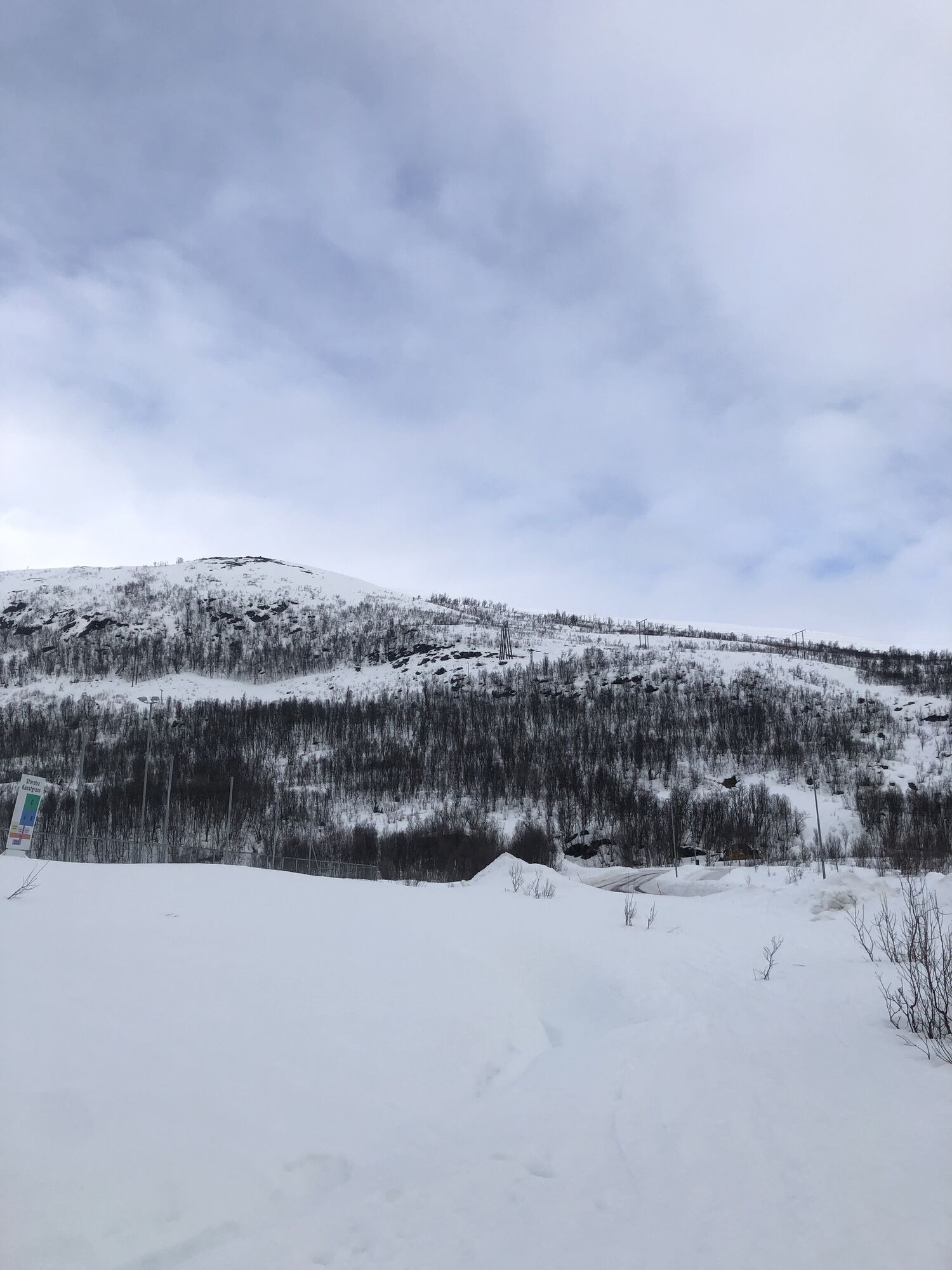
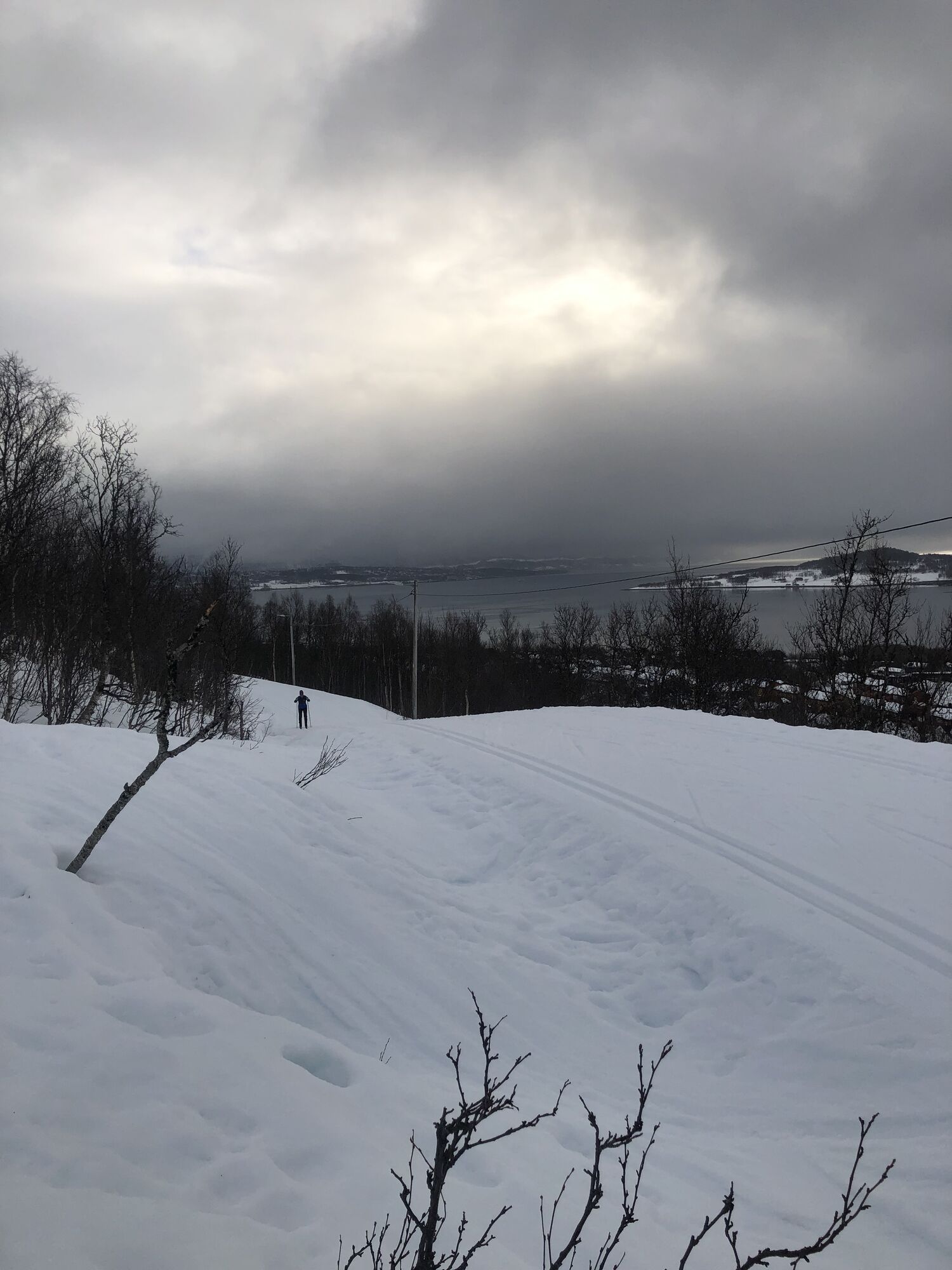
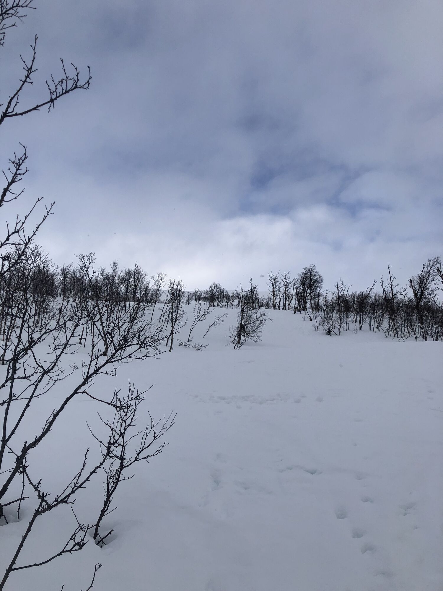


Vom Skistadion in Storelva aus geht es über einen mäßig steilen Hang zuerst durch lichte Birkenwälder und dann über einen breiten Hang Richtung Gipfel.
Für sehr schlechte Sicht sind auch Markierungsstempel zur Orientierung in den Schnee gesetzt.
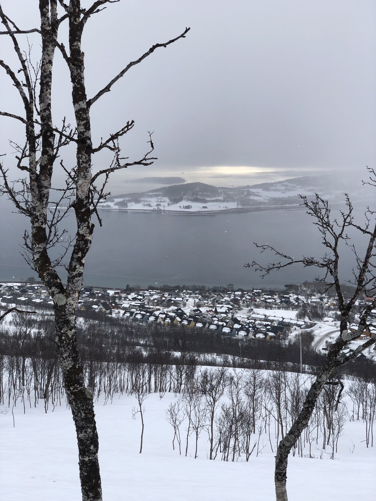
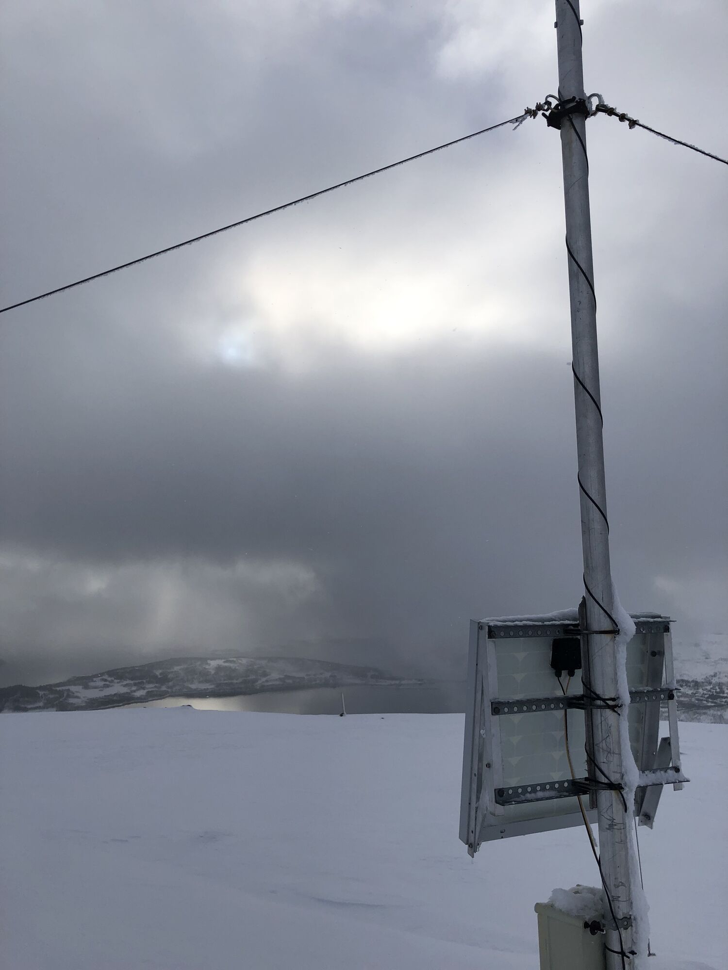
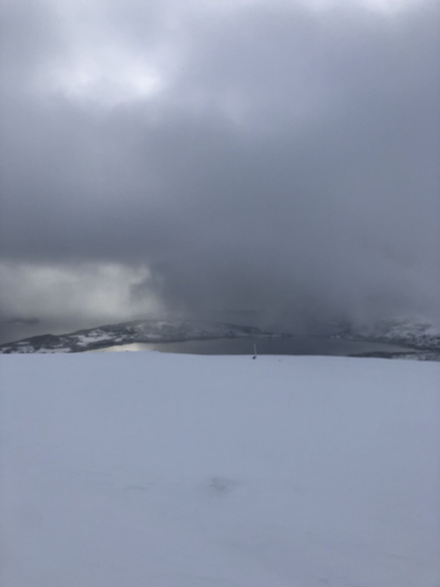
Am Gipfel befindet sich eine kleine Wetterstation. Bei Schönwetter hat man eine tolle Aussicht auf Tromsø, Kaldfjord, Håkøya und die umliegenden Berge (Buren, Rødtinden, Lille Blåmennen, Kjolen, etc.)
Klassische Tourenausrüstung
LVS
Von Tromsø aus kommend bis Storelva und dort von der Hauptstraße rechts zum Ski-Stadion abbiegen (ist gut beschriftet).
Parkplätze gibt es rund um das Ski-Stadion ausreichend.
Popular tours in the neighbourhood
- 5,0
Kjolen
lightSki tour14,3 km Lille Blåmannen
lightSki tour9,98 kmTromsø, Skitour mit Liftfaktor
lightSki tour15,9 km- 5,0
Middagsfjelelt
lightSki tour7,89 km Tverrfjellet
lightSki tour3,76 km- 5,0
Botnfjellet
lightSki tour12 km Rødtinden
lightSki tour5,56 kmBuren, Tromsø
lightSki tour11,0 km- 5,0
Buren top
lightTrailrunning7,07 km Botnfjellet, Tromsø
lightSki tour9,86 km

Hiking & Tracking


Don't miss out on offers and inspiration for your next holiday
Your e-mail address has been added to the mailing list.