


Level of difficulty: T2


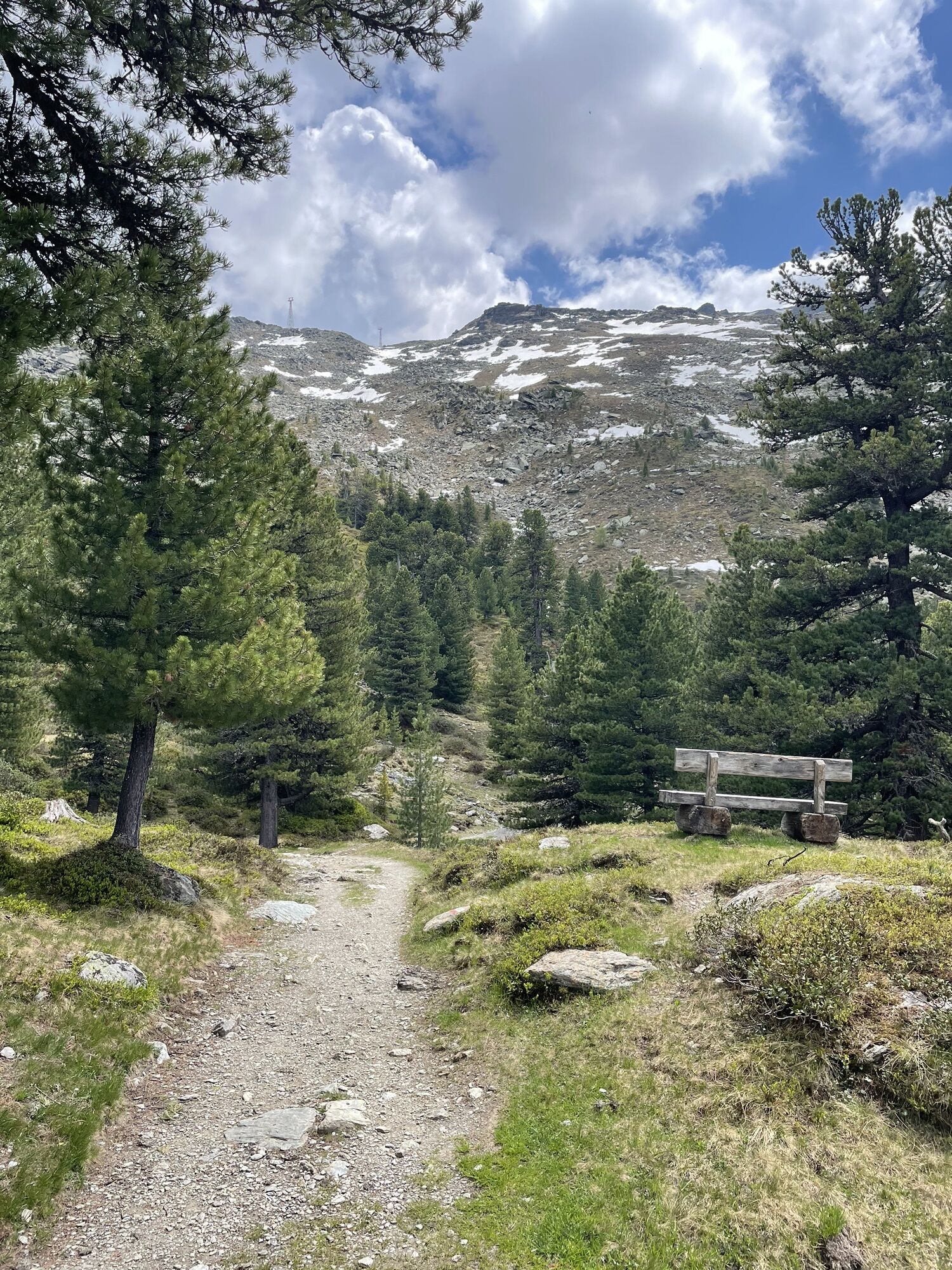

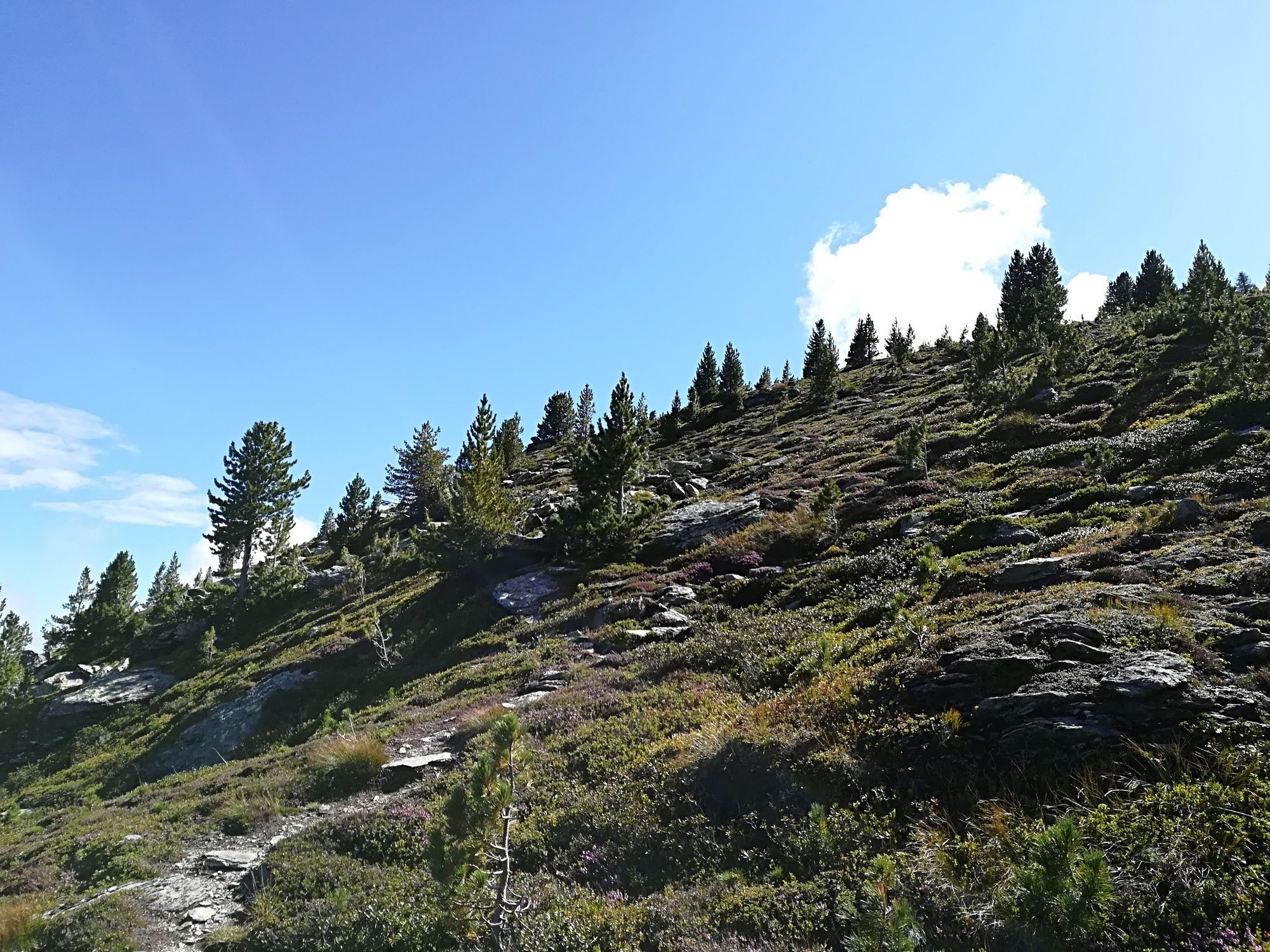
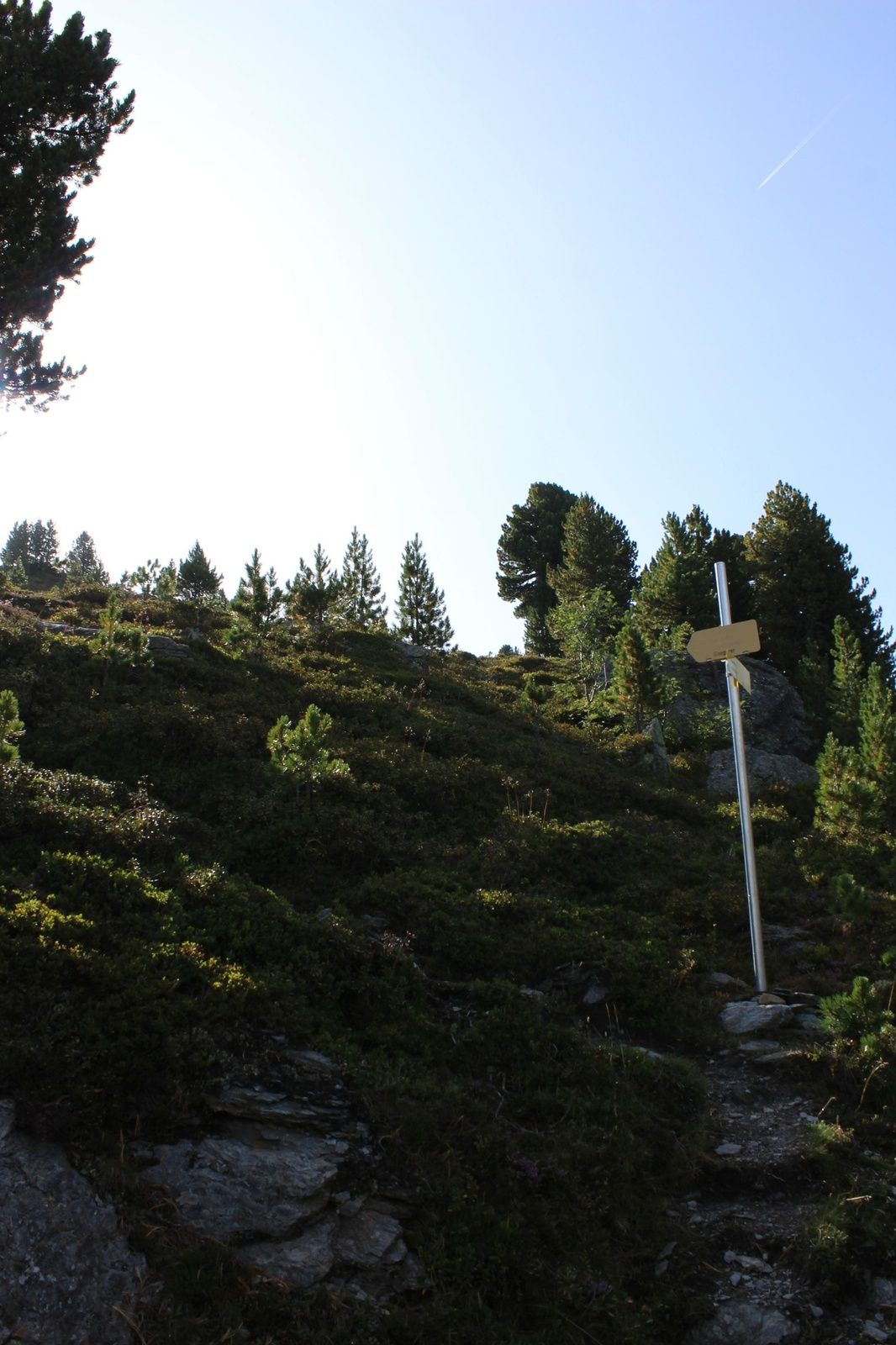
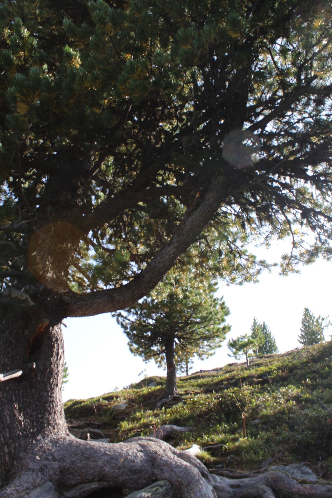
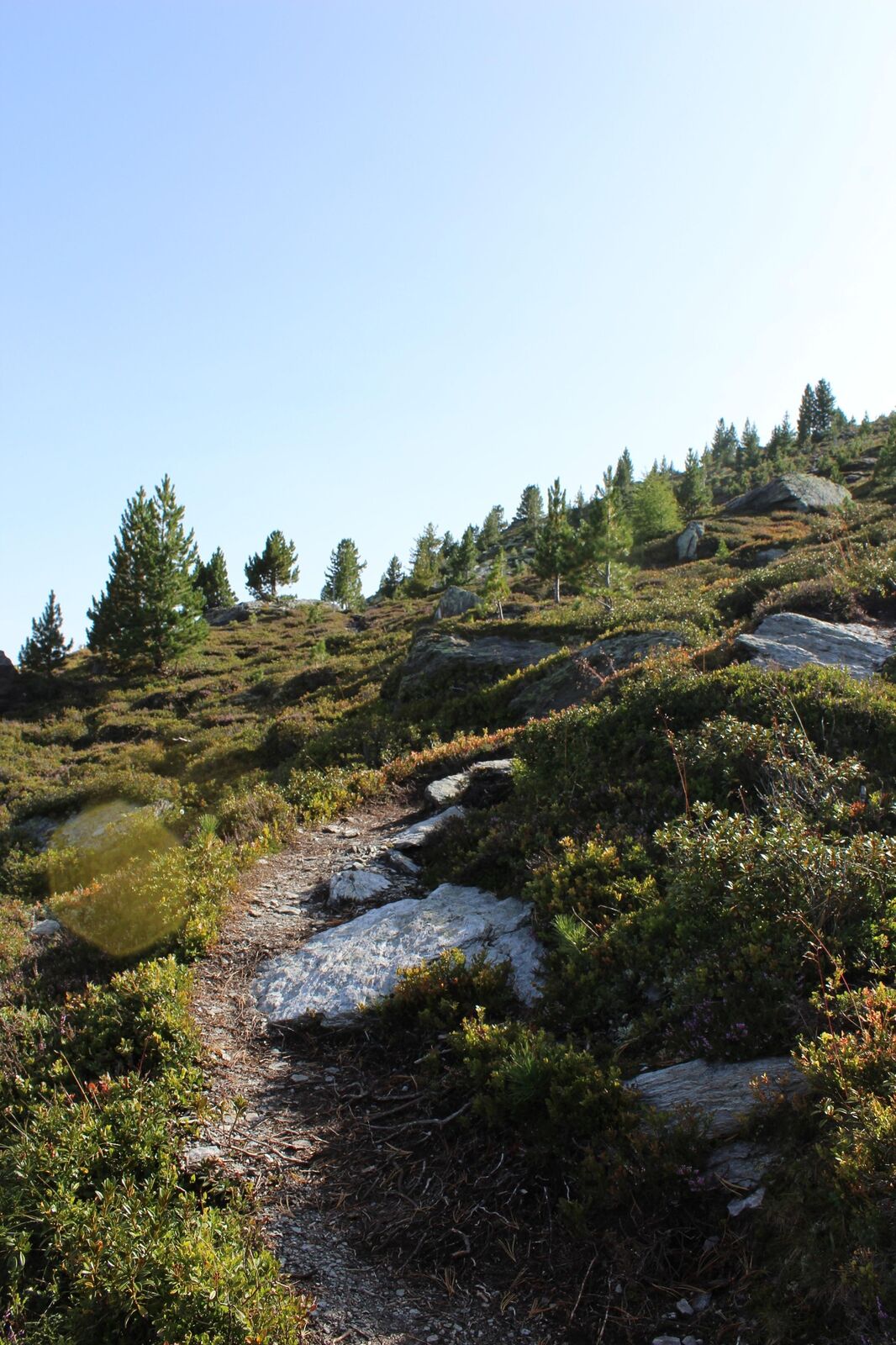
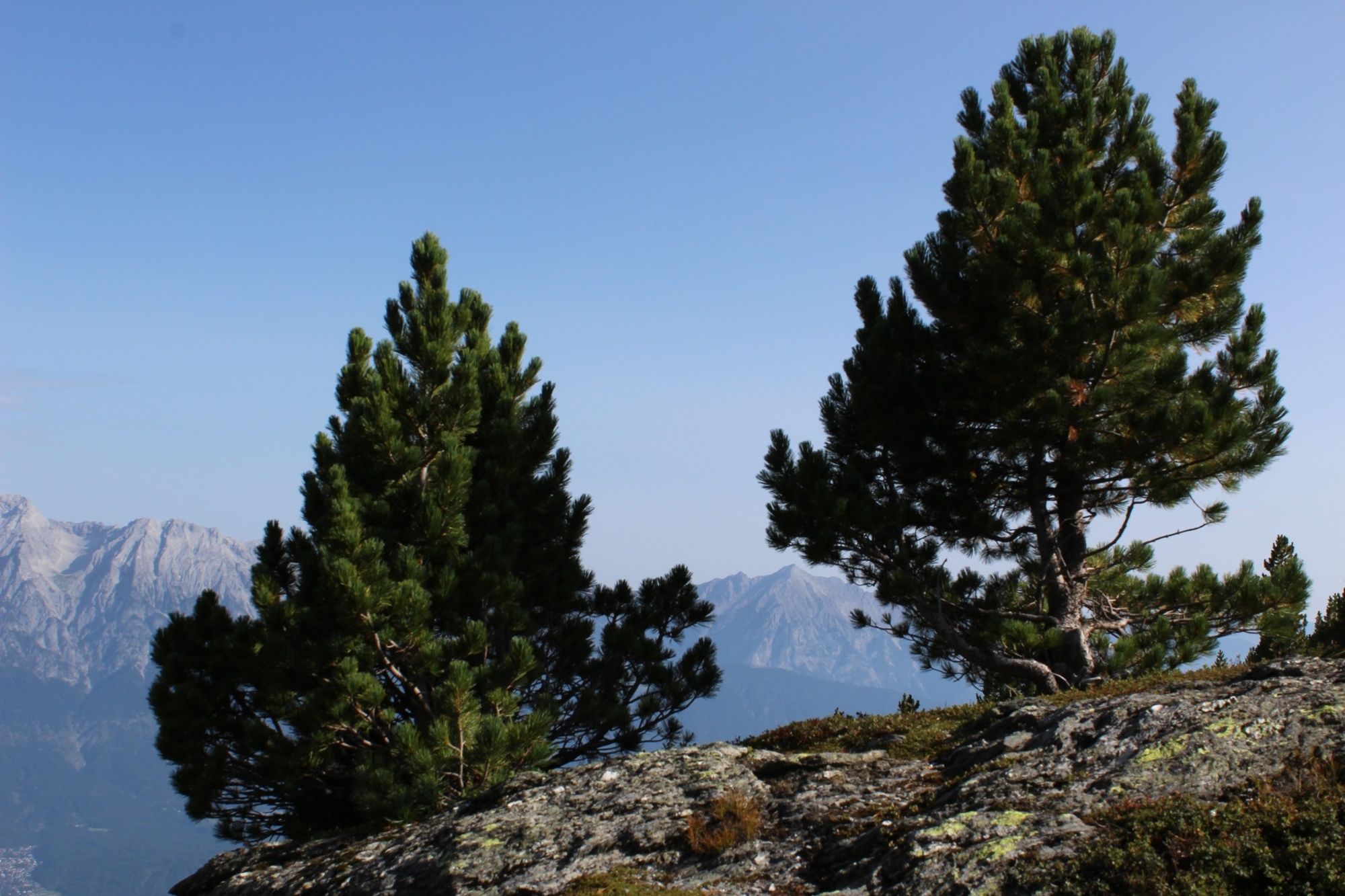
We comfortably take the Glungezerbahn gondola to the mountain station Tulfeinalm. From there, we continue along the ridge of the Schartenkogel steadily up to the summit. At first, the path goes through a beautiful stone pine forest, which shortly afterwards is replaced by huge rock blocks. Through these rock blocks, we follow an easy path that allows us to enjoy the wide panorama.
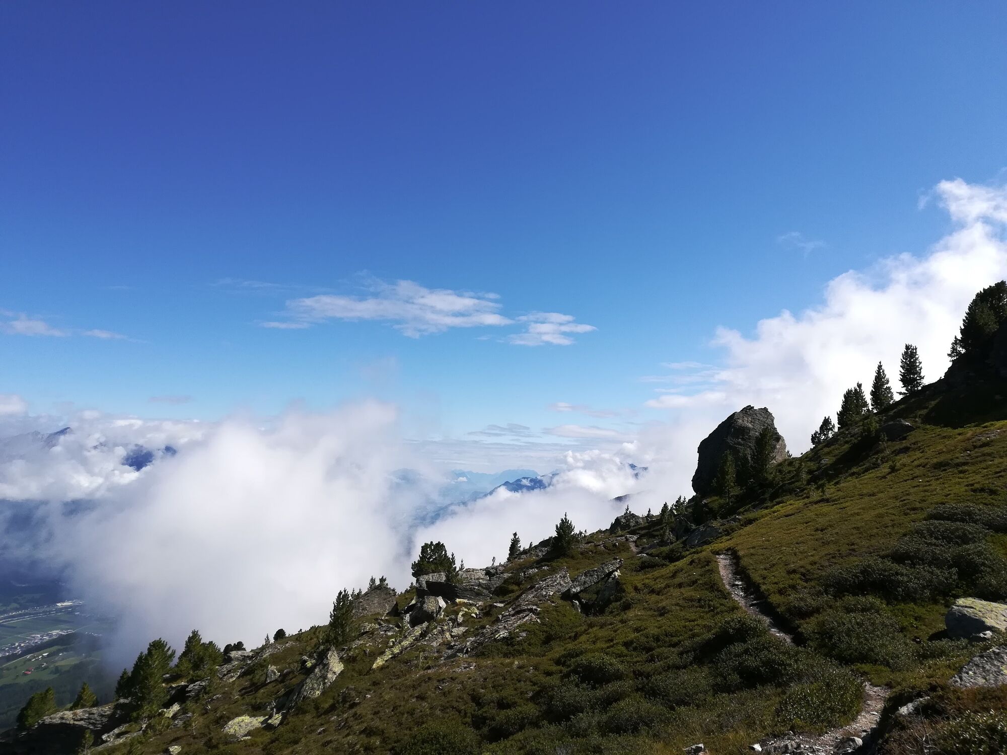
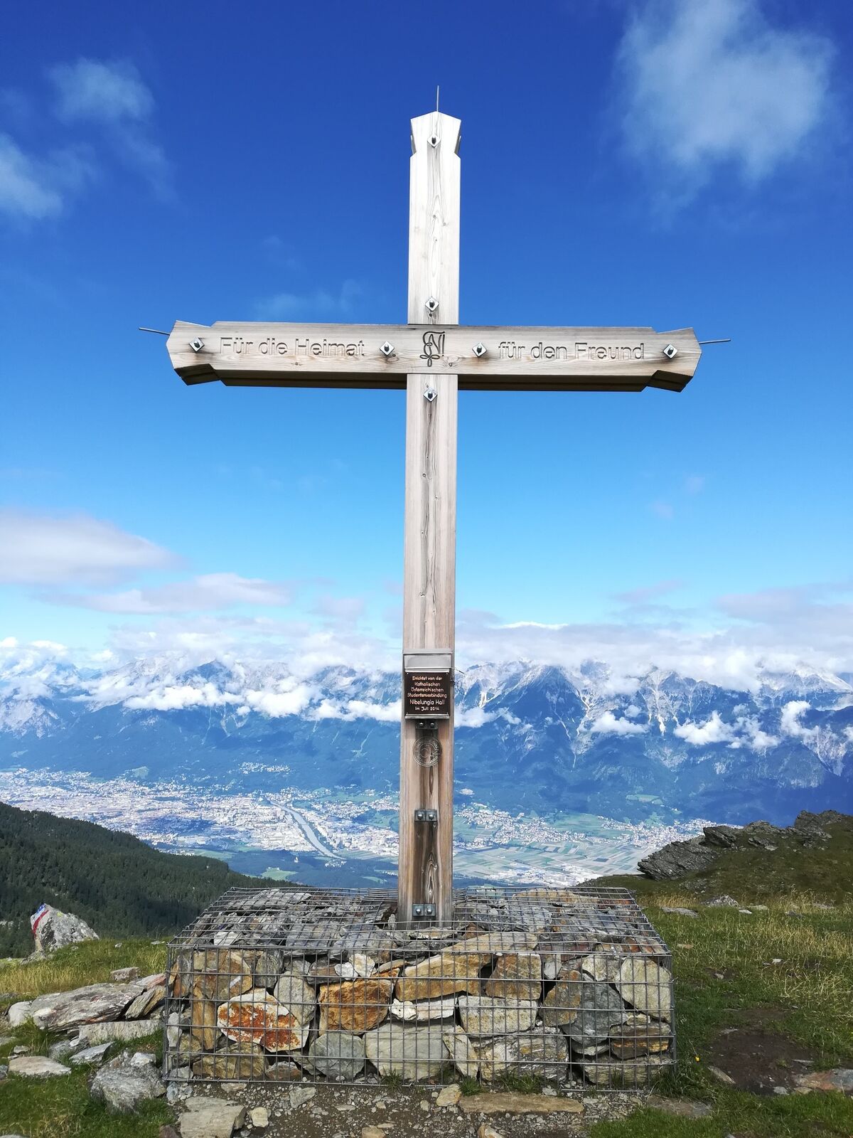
Once at the summit, we enjoy the depth and the view before heading back down along the forest road to the Tulfeinalm and further to the mountain station of the Glungezerbahn.
Yes
Yes
Yes
Tulfes - Glungezerbahn
By bus 540 to Tulfes
Tulfes - Glungezerbahn
T2
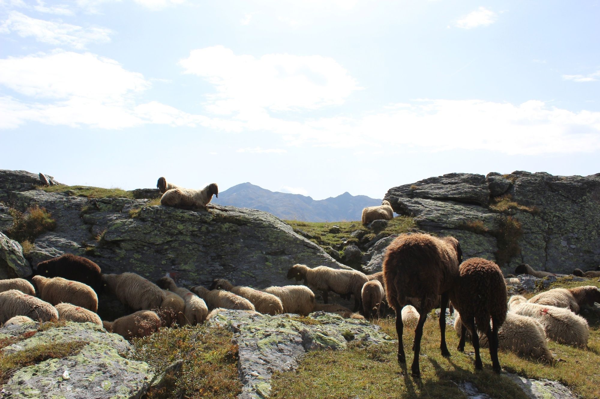
Stopover at the Tulfeinalm!
Webcams of the tour
Glungezer-Gipfel
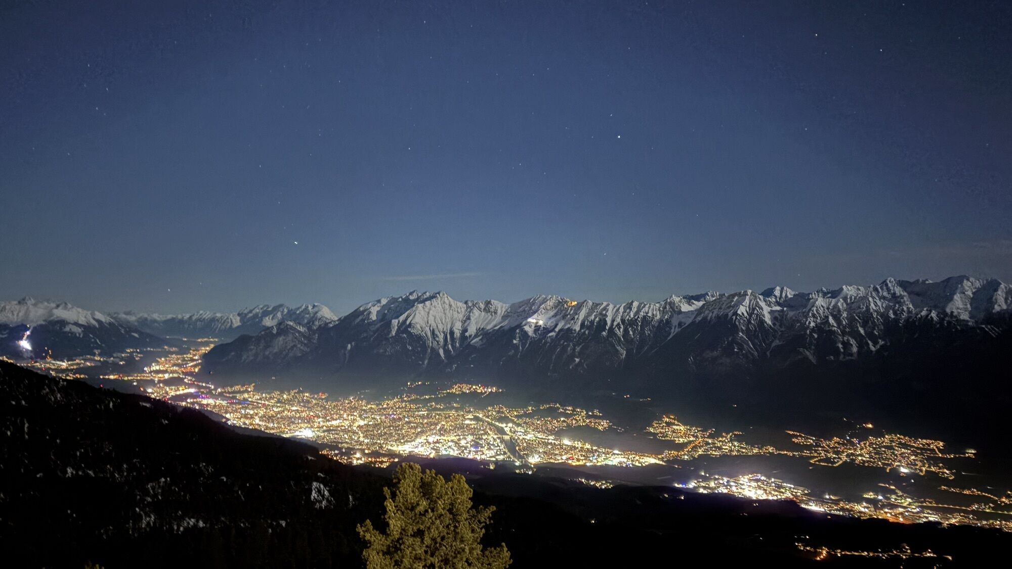
Inntal
Mittelstation Halsmarter
Hall in Tirol - Oberer Stadtplatz
Glungezerbahn Mittelstation
Glungezerbahn Mittelstation
Glungezerbahn Mittelstation
Glungezerbahn Mittelstation
Glungezerbahn Bergstation
Glungezerbahn Bergstation
Glungezerbahn Bergstation
Glungezerbahn Bergstation
Glungezerbahn Bergstation
Glungezerhütte
Popular tours in the neighbourhood
- 4,7
To the scenic Hochmahdkopf
mediumHiking8,31 km - 3,7
To the alpine inn St. Magdalena in the Halltal
mediumHiking7,24 km - 4,9
3 Almen Karwendelrunde MTB Route 408
heavyMountainbike23,8 km - 4,7
Patscherkofl
mediumHiking18,5 km Der Goethe Weg in Tirol
mediumHiking15,9 km- 4,0
In the footsteps of Emperor Franz I to the Kaisersäule
mediumHiking11,0 km Through the Halltal to the gem Issanger
mediumHiking13,7 km- 4,5
Up to the Largoz
mediumHiking7,01 km - 5,0
Gnadenwald - Hinterhornalm - Hundskopf
heavyHiking5,01 km To the Walderjoch
mediumHiking12,9 km
Hiking & Tracking


Don't miss out on offers and inspiration for your next holiday
Your e-mail address has been added to the mailing list.