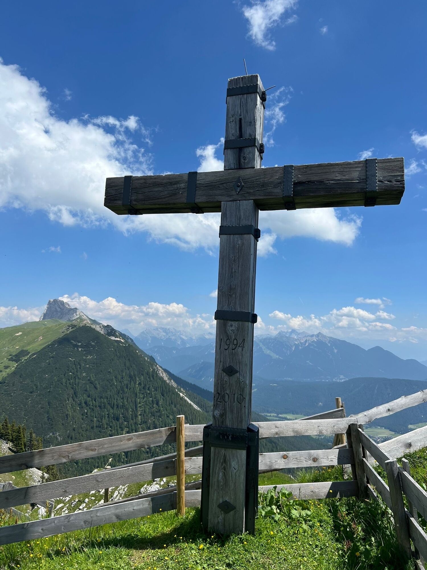
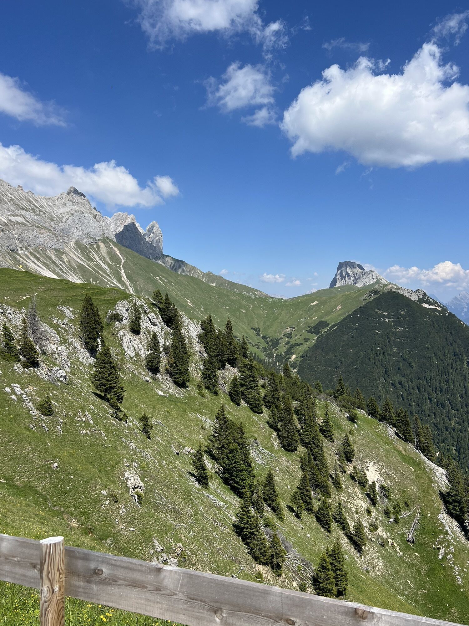
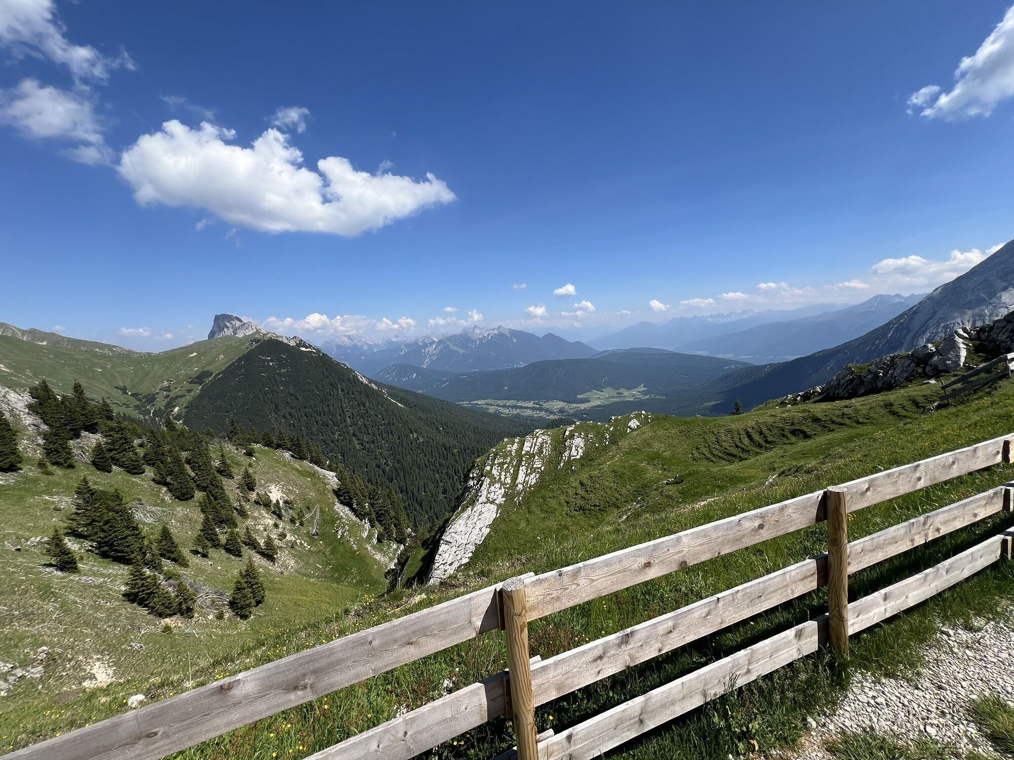
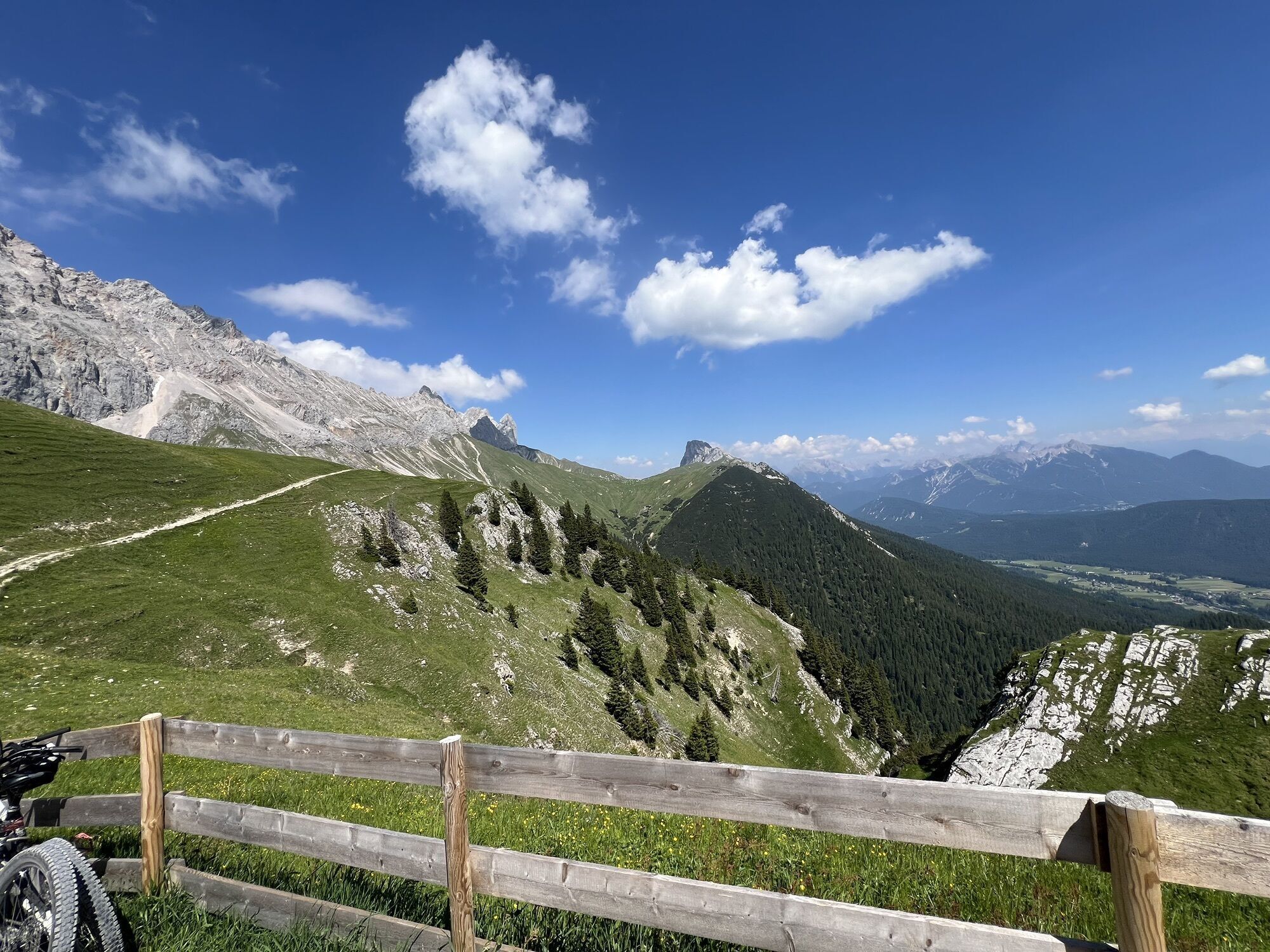
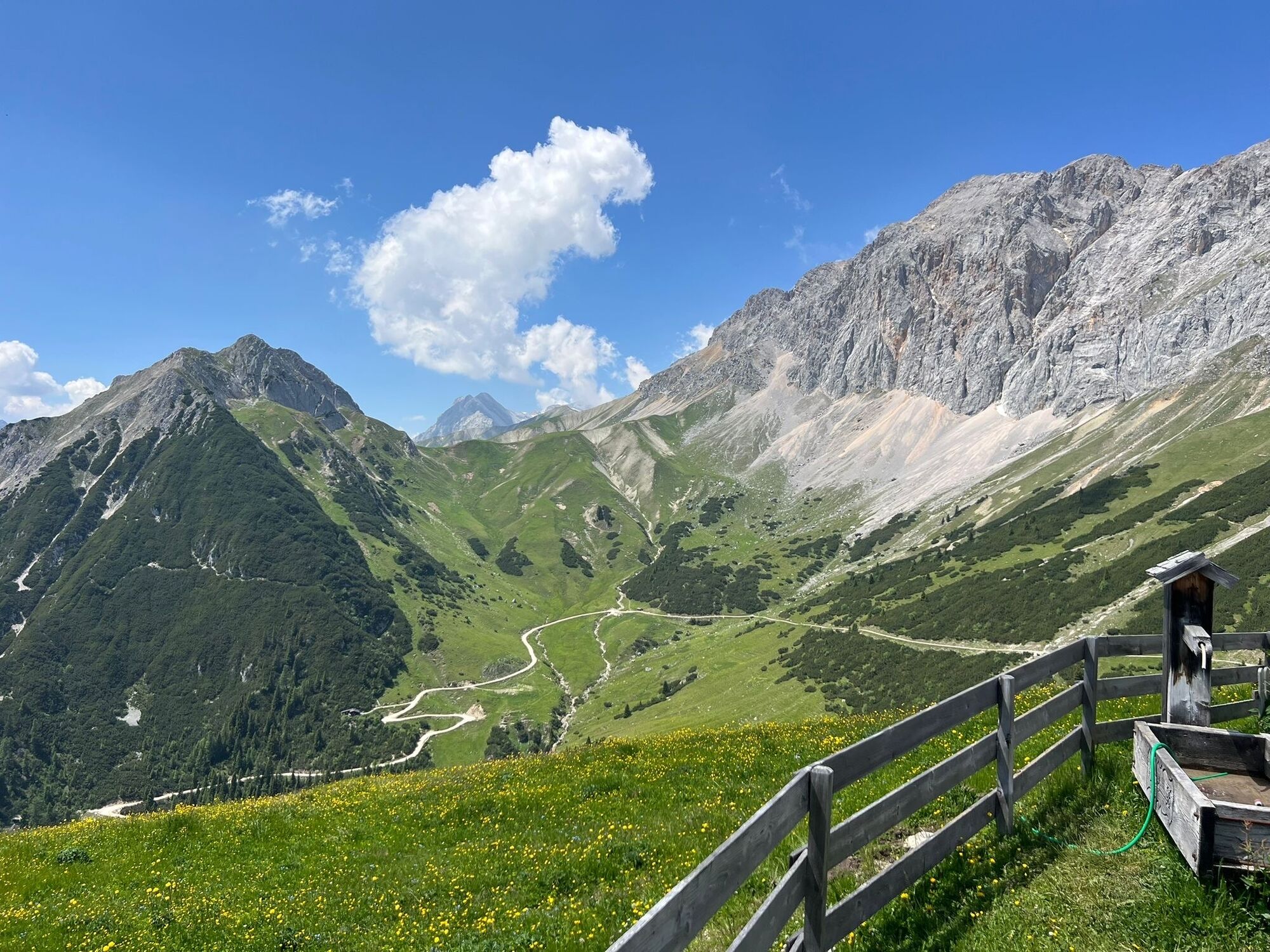
Runde unterm Hochwanner
light
Navigate
Navigate
Get this tour on your mobile
Runde unterm Hochwanner
light
Hiking
15,21
km
Scan the QR code and start navigation in the bergfex app

Hiking & Tracking


Distance
15,21
km
Duration
04:20
h
Ascent
908
m
Sea level
1.232 -
2.041
m
Track download
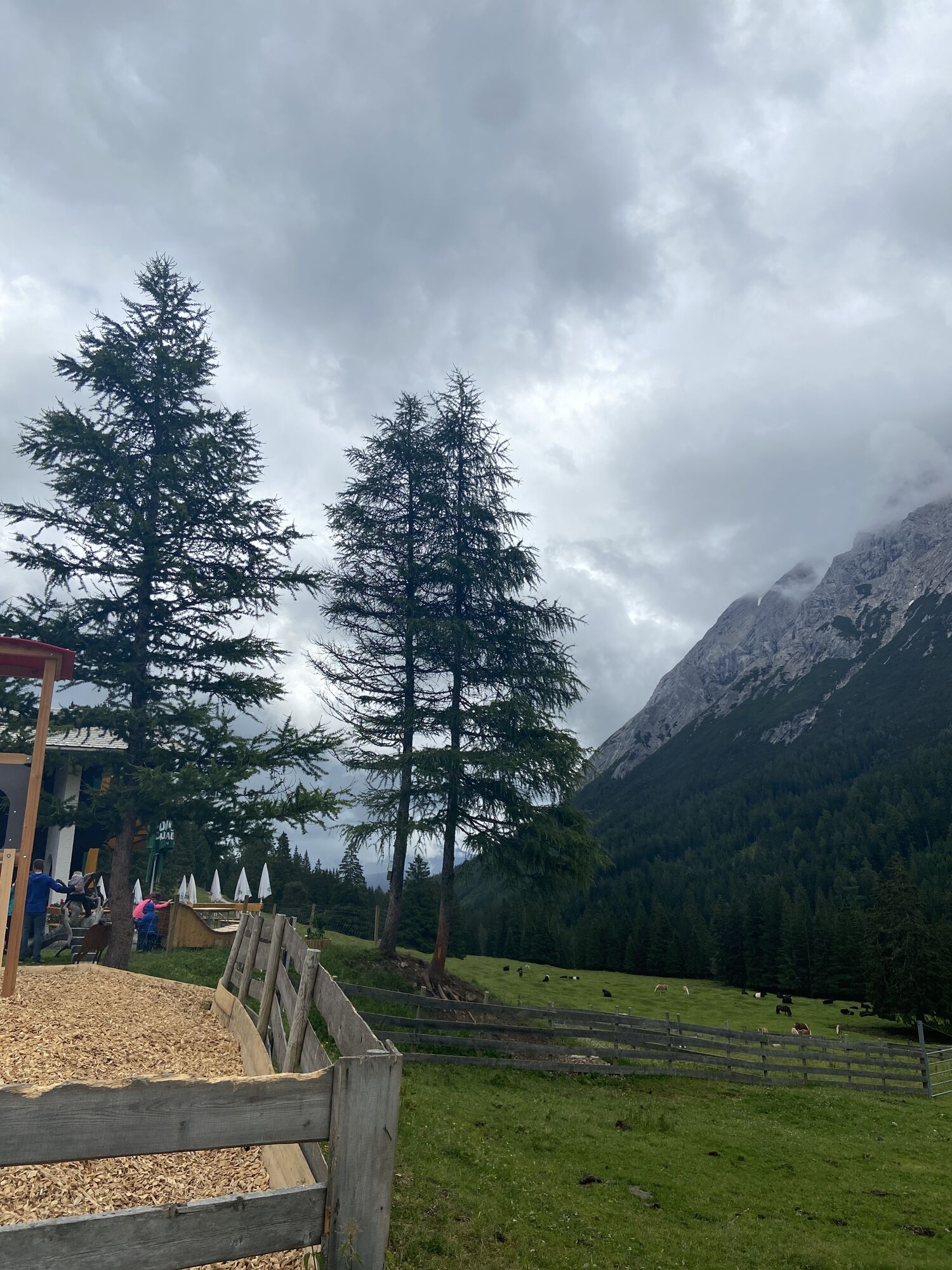
Runde unterm Hochwanner
light
Hiking
15,21
km


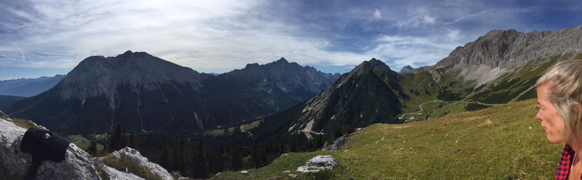
Route
Route
Runde unterm Hochwanner
light
Hiking
15,21
km

Last tracked
4 weeks ago
Valuations
5
(1)
4
(0)
3
(0)
2
(0)
1
(0)
Popular tours in the neighbourhood
- 4,6
Ehrwald / Drachensee / Coburger Hütte / Seebensee
mediumHiking14,8 km - 4,2
"Königstour" über die Gipfel
Hiking4,52 km - 4,4
Garmisch/ Reintal/ Zugspitze
mediumHiking26,7 km - 4,6
Leutaschklamm
lightHiking4,55 km - 4,8
Zugspitze
heavyHiking8,45 km - 4,9
EHRWALD | Seebensee und Drachensee
mediumHiking14,1 km - 5,0
Zugspitze über Stopselziehersteig
heavyHiking12,2 km - 5,0
Bike & Hike Seebensee & Drachensee
mediumMountainbike15,6 km - 4,0
Zugspitze (von Ehrwald über Stopselzieher und über Gatterl zurück)
heavyHiking28,2 km - 4,7
Zugspitze
heavyHiking6,88 km

Hiking & Tracking

Over 550.000 tour suggestions, detailed maps and an intuitive route planner make the app a must-have for all nature enthusiasts.

Don't miss out on offers and inspiration for your next holiday
Subscribe to the newsletter
Error
An error has occurred. Please try again.Thank you for your registration
Your e-mail address has been added to the mailing list.
Tours throughout Europe
Austria Switzerland Germany Italy Slovenia France Netherlands Belgium Poland Liechtenstein Czechia Slovakia Spain Croatia Bosnia and Herzegovina Luxembourg Andorra Portugal Iceland United Kingdom Ireland Greece Albania North Macedonia Malta Norway Montenegro Moldova Kosovo Hungary San Marino Romania Estonia Latvia Belarus Cyprus Lithuania Serbia Bulgaria Monaco Denmark Sweden Finland