


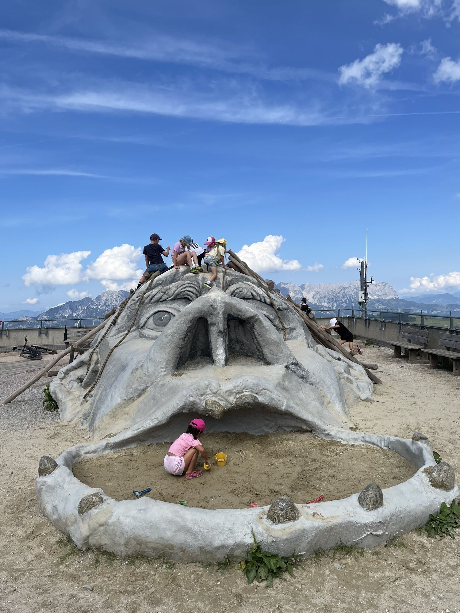
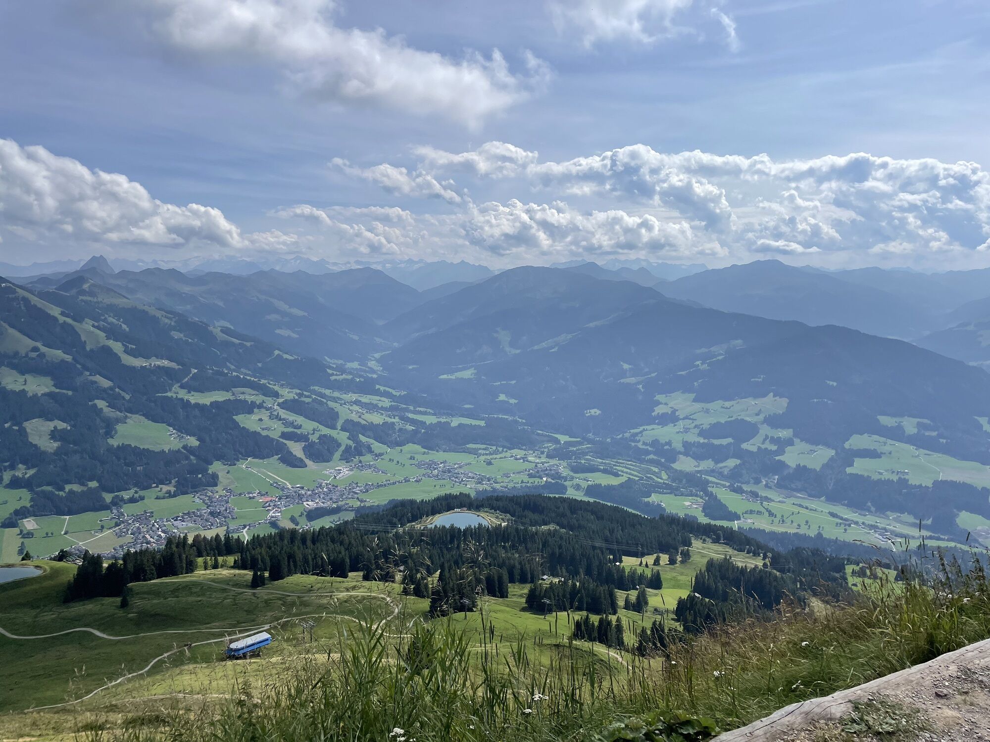
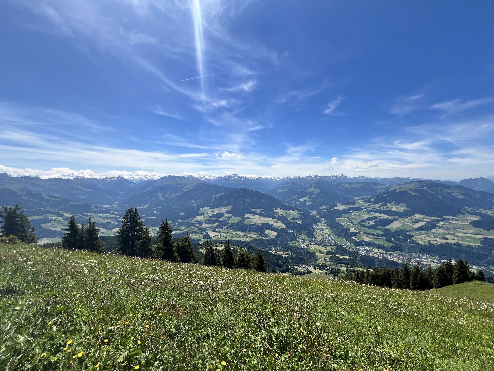
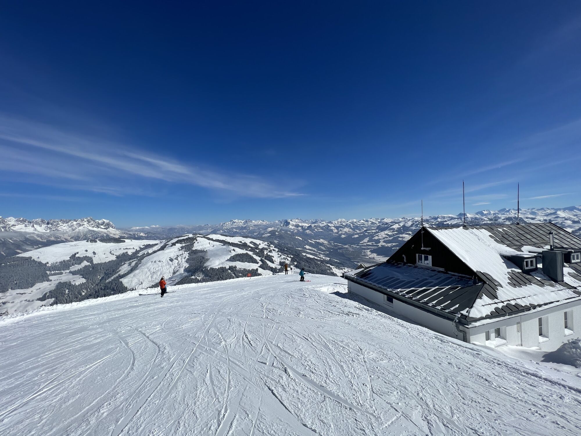
Photos from our users

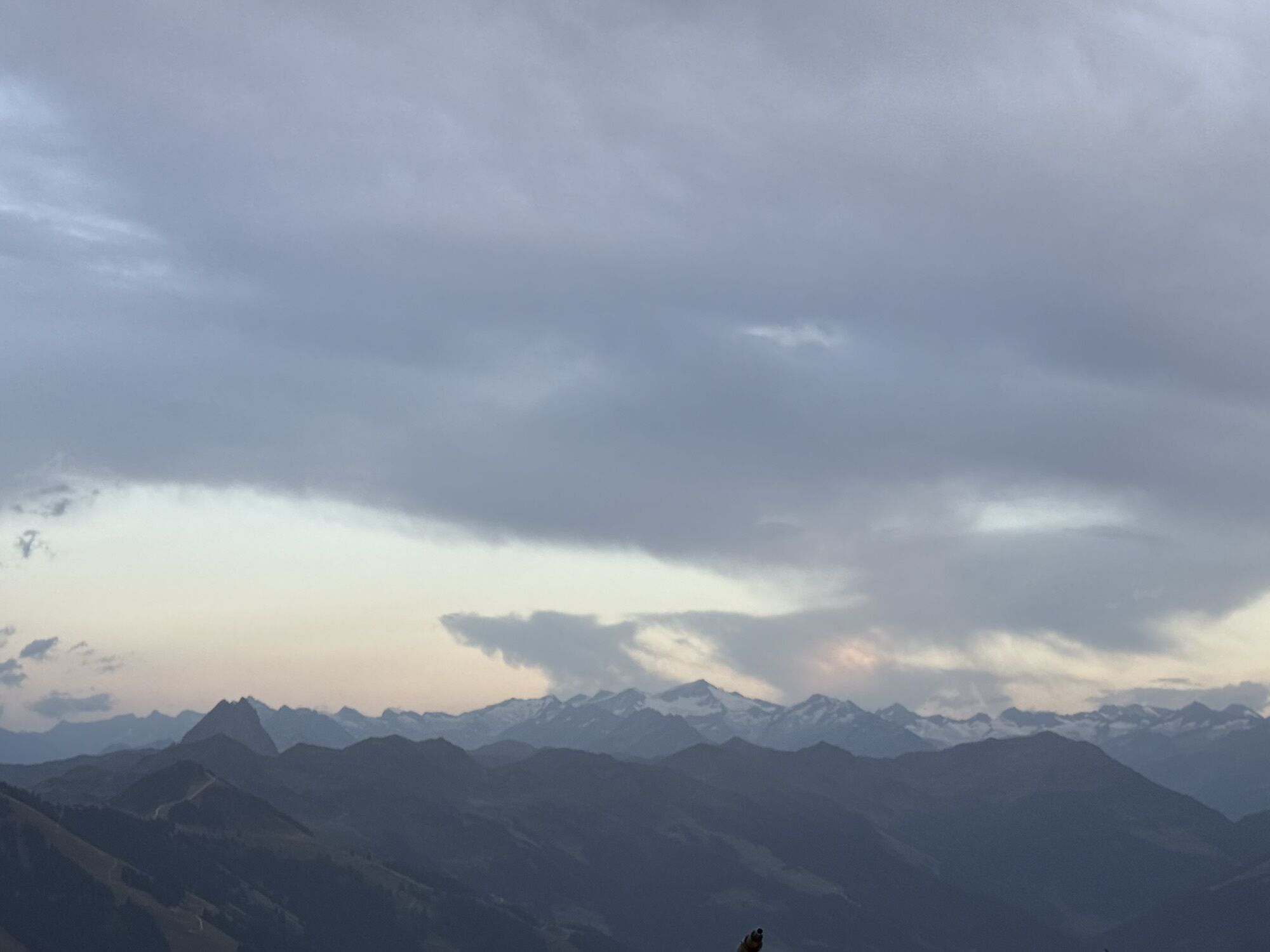
 © Hansjörg KoglerCreated on 28.02.2023
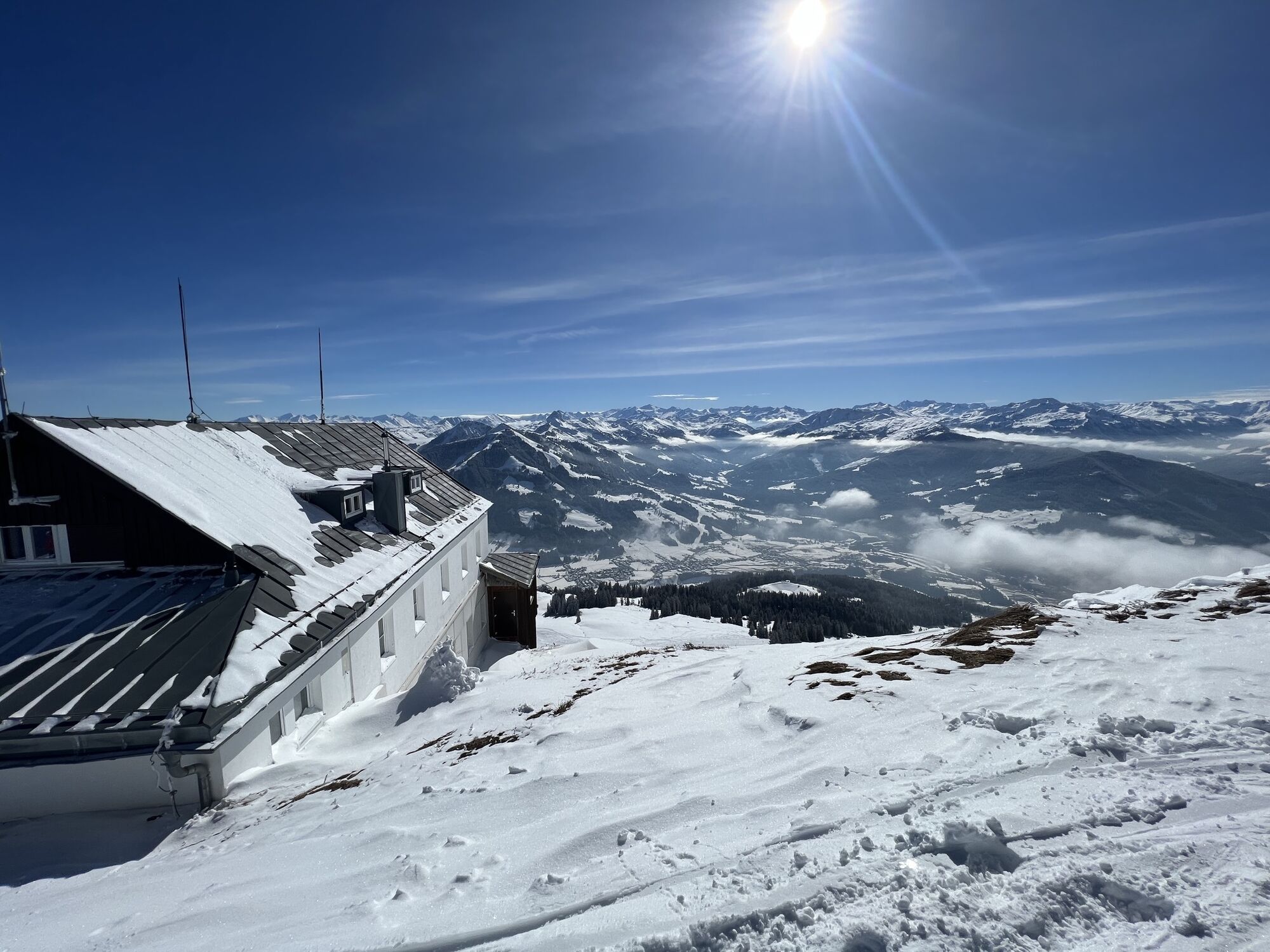
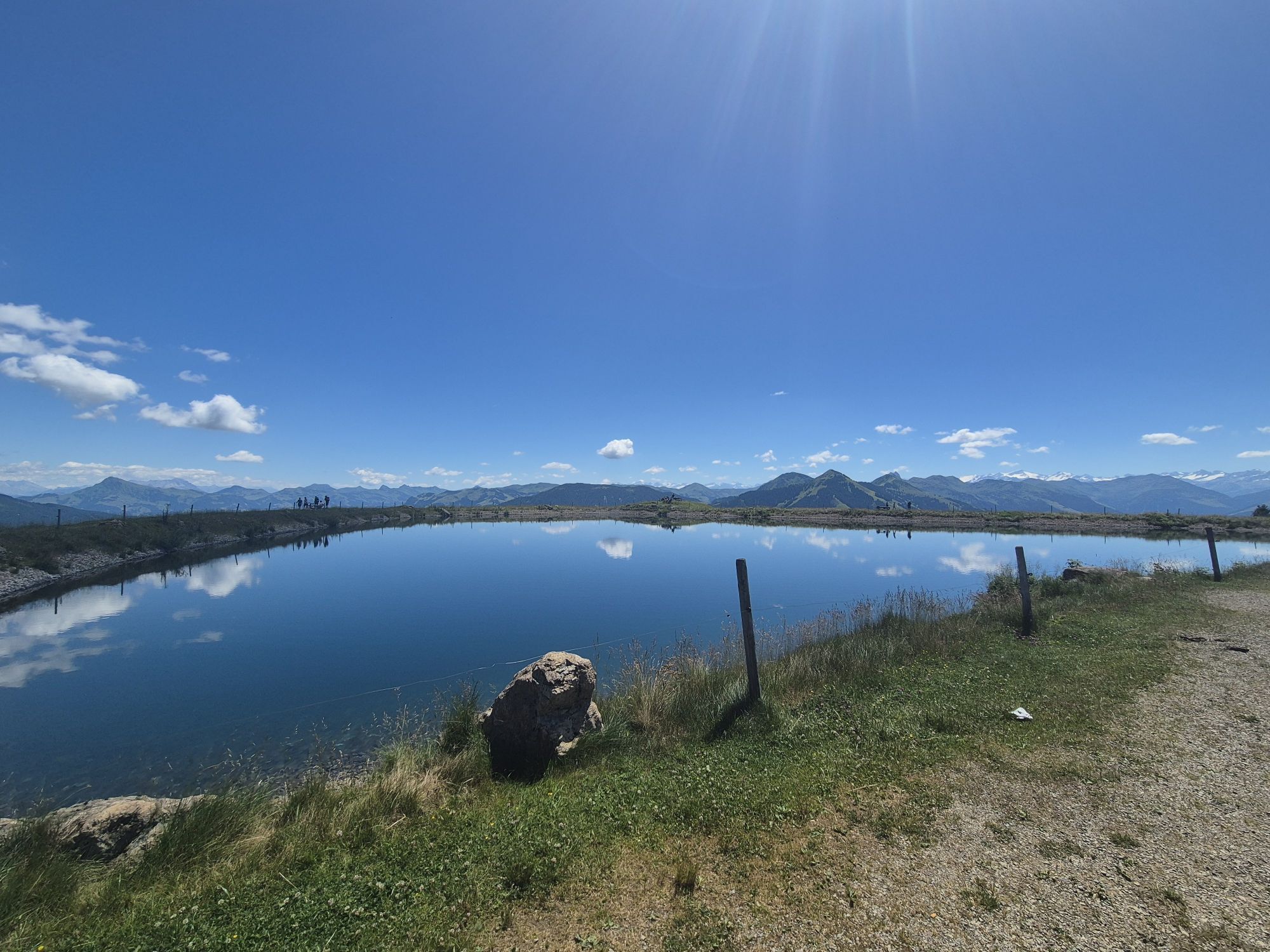
 © En RicoCreated on 02.11.2025
 © En RicoCreated on 02.11.2025
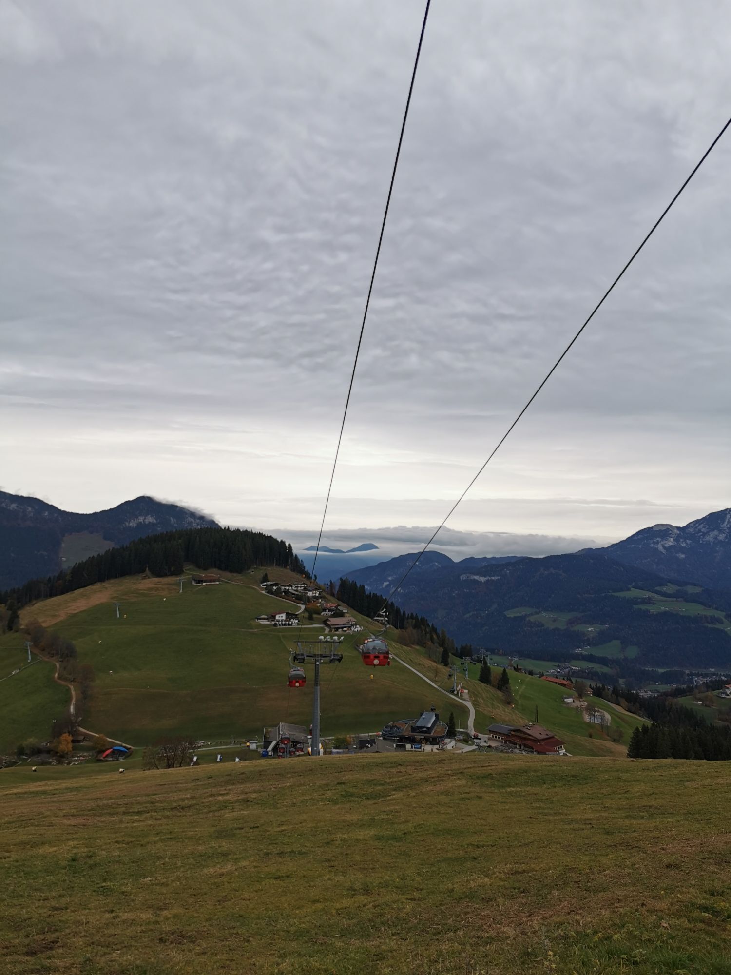
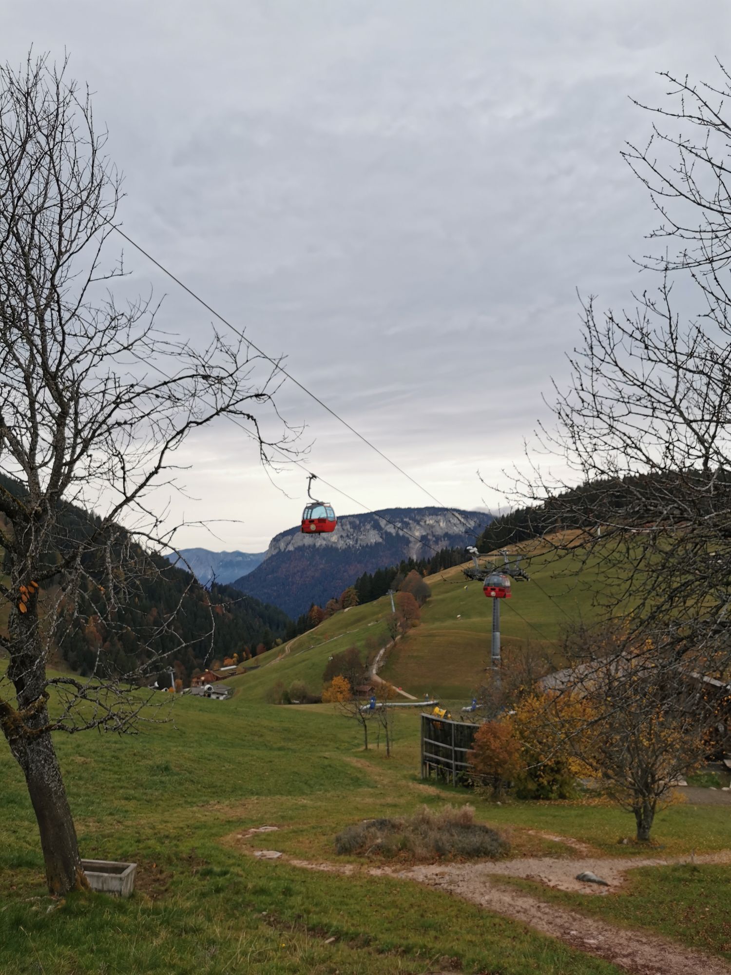
 © Willy 11Created on 14.08.2025
 © Yannic AbelCreated on 29.06.2025
 © Yannic AbelCreated on 29.06.2025
 © Yannic AbelCreated on 29.06.2025
 © Chnorli-FurzCreated on 07.07.2021
 © Chnorli-FurzCreated on 27.06.2021
 © Chnorli-FurzCreated on 19.08.2020
 © Chnorli-FurzCreated on 19.08.2020
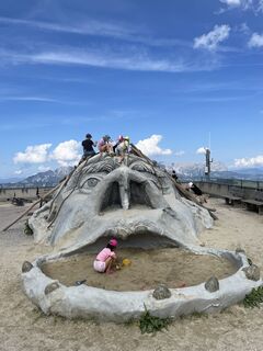
 © RoUlWoLeCreated on 15.08.2024
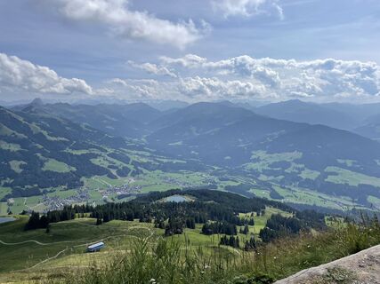 © RoUlWoLeCreated on 15.08.2024
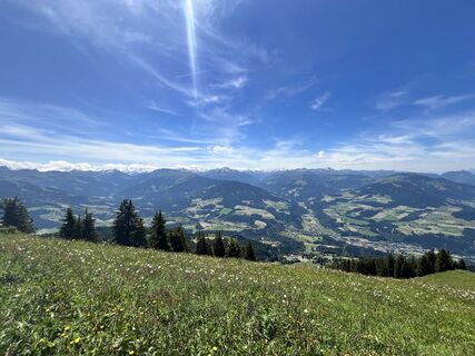
 © Manfred AiningerCreated on 18.06.2024
 © Hansjörg KoglerCreated on 28.02.2023
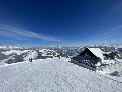 © Hansjörg KoglerCreated on 28.02.2023
 © Christian NielandCreated on 05.10.2022
 © Christian NielandCreated on 05.10.2022
 © jan stalCreated on 29.08.2022
 © SneaksenCreated on 23.12.2024
 © SneaksenCreated on 23.12.2024
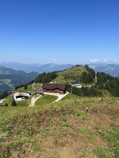
 © Florian TautzCreated on 18.07.2023


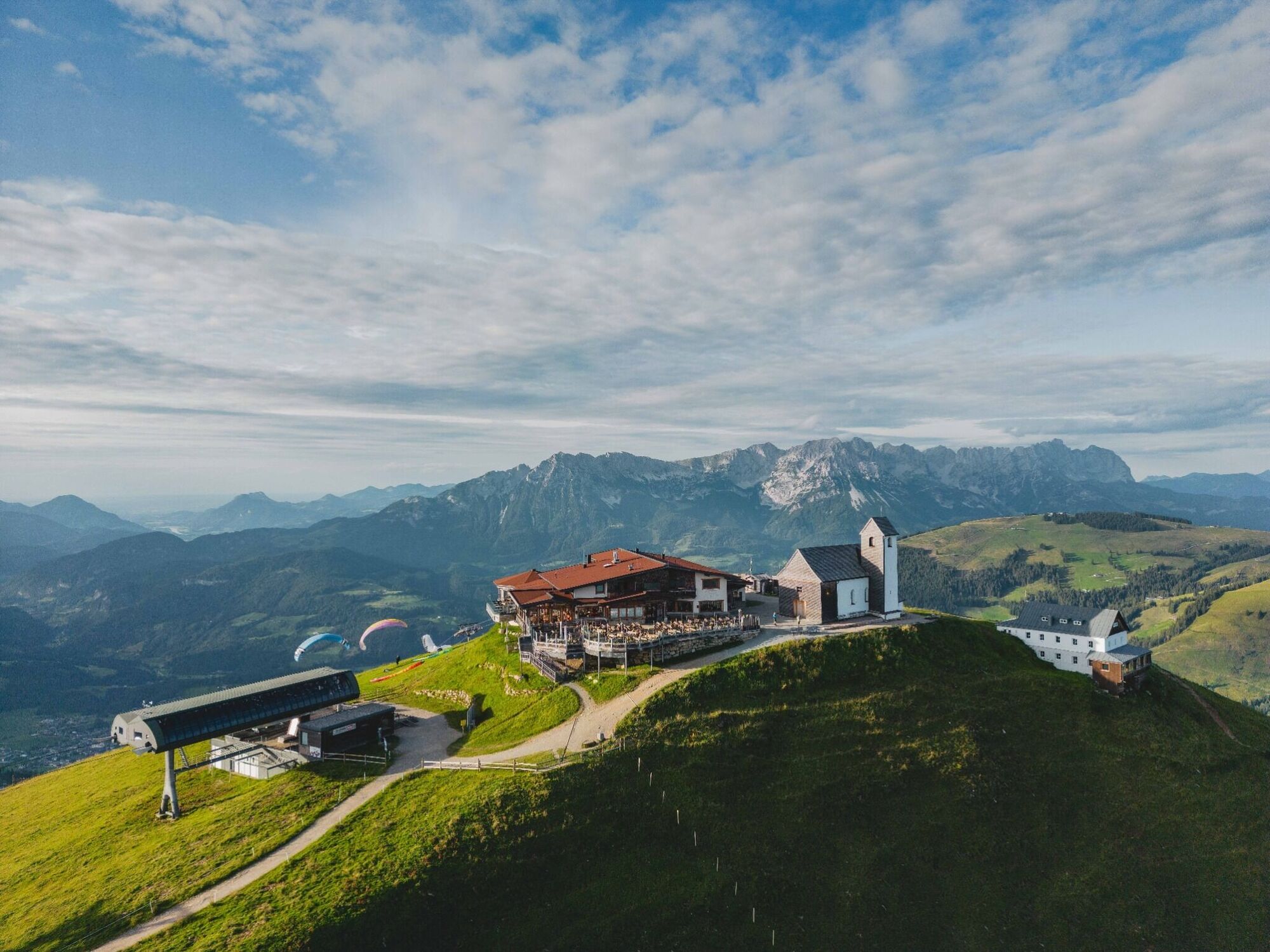
Der Ausgangspunkt dieser Wanderung ist der Gipfel der Hohen Salve. Dort folgt man der Beschilderung in Richtung Alpengasthof Rigi (Nr. 65). Vorbei am Rigi und der Kälberalm, wandert man zur KRAFTalm in...
Der Ausgangspunkt dieser Wanderung ist der Gipfel der Hohen Salve. Dort folgt man der Beschilderung in Richtung Alpengasthof Rigi (Nr. 65). Vorbei am Rigi und der Kälberalm, wandert man zur KRAFTalm in Itter (Nr. 65/67). Über einen Forstweg geht man weiter bis zum Hexenwasser.
Zurück zum Ausgangspunkt folgt man der Beschilderung Richtung Hohe Salve (Nr. 70). Vorbei am Bergrestaurant Gründlalm biegt man rechts auf den Wanderweg Nr. 50. Bei der Angeralm, Keatalm und Innere Keatalm wandert man weiter Richtung Alpengasthof Rigi bis zur Kälbersalvealm (Nr. 71). Von dort aus folgt man der Beschilderung Nr. 90/95 hinauf auf die Hohe Salve über den Salvensee.
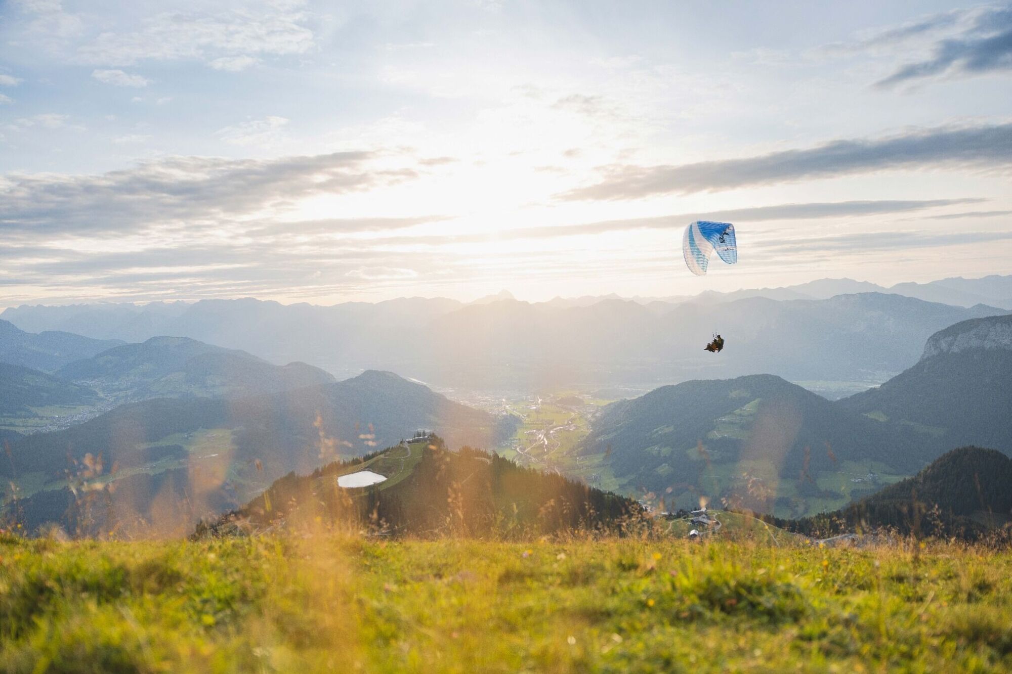
Alternativ kann man von Hochsöll die Gondel zur Hohen Salve benützen.
Outdoor-Bekleidung festes Schuhwerk ausreichend Verpflegung und Getränke Erste-Hilfe-Ausrüstung Handy mit vollem Akku & Ladegerät Wanderkarte & Führerliteratur evtl. GPS-Gerät bzw. die GPS-Daten auf das Handy laden Sonnenschutz (Sonnenbrille, Sonnencreme & Kappe) Regenschutz Bargeld
A12 Ausfahrt Wörgl Ost – Zubringerstrecke B178 Richtung St. Johann i. T. & Kitzbühel – nach Tunnel Ausfahrt Richtung Hopfgarten – im Kreisverkehr ausfahren auf die B170 Richtung Hopfgarten – in Hopfgarten vor Bahnunterführung links abbiegen Richtung SkiWelt – Beschilderung bis Ziel folgen.
Von Kitzbühel kommend: B170 Brixentalstraße Richtung Wörgl – in Hopfgarten nach der zweiten Bahnunterführung rechts die erste Ausfahrt Richtung SkiWelt nehmen – Beschilderung bis Ziel folgen.
Hopfgarten Berglift Bahnhof
Zug: Hopfgarten Berglift Bahnhof
Gästekarteder Region= Bahnfahrkarte von Wörgl bis Hochfilzen + Busfahrkarte vonMariastein bis Kitzbühel inklusive
GenauereInformationen unter: www.hohe-salve.com/mobilität
Parkplatz P3 Wasserfeld (kostenfrei)
Liftparkplatz - bei Gondelnutzung kostenfrei
Webcams of the tour
Bergstation Gondelbahn
Scheffau
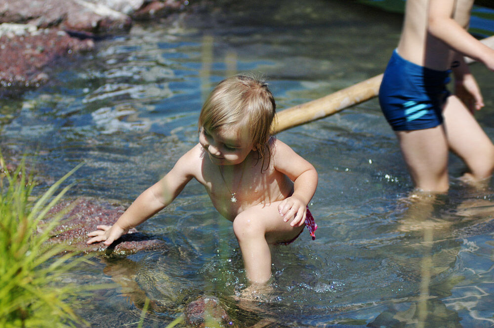
Hexenwasser, Söll am Wilder Kaiser - Skiwelt
Hohe Salve
Bergstation Gondelbahn Hochsöll
Jochstub'n-See
Jochbahn Bergstation
Westendorf
Übungswiese Westendorf - Apartment Anita
Kleine Salve - Salvistabahn
Hexenwasser, Söll am Wilder Kaiser - Skiwelt
Hexenwasser, Söll am Wilder Kaiser - Skiwelt
Popular tours in the neighbourhood
- 4.5
Über Hintersteinersee und Walleralm aufs Hochegg
lightHiking12.2 km - 4.4
Wanderung um den Hintersteinersee
lightHiking5.29 km - 4.1
Bergdoktor Wohnhaus "Gruberhof" (Köpfing Hof) Rundeweg-Söll
lightHiking8.70 km - 4.7
Hintersteinersee
mediumHiking9.87 km - 4.9
Streif Wanderweg
mediumHiking5.73 km - 4.9
Route 209: Brechhornhaus-Choralpe
heavyMountainbike24.4 km - 4.8
Rosskopf
lightHiking7.02 km - 4.8
Ellmauer Tor (22.07.2020)
mediumHiking9.32 km - 4.5
Jubiläumssteig Kaisergrbirge
lightVia ferrata6.29 km - 2.0
Almwanderung zur Käsealm Straubing
lightHiking8.81 km
Hiking & Tracking


Don't miss out on offers and inspiration for your next holiday
Your e-mail address has been added to the mailing list.