


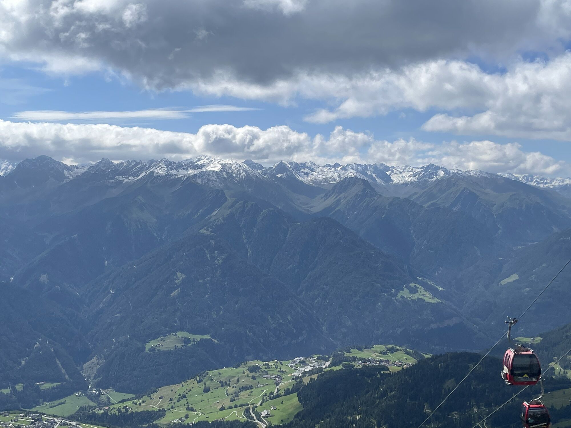
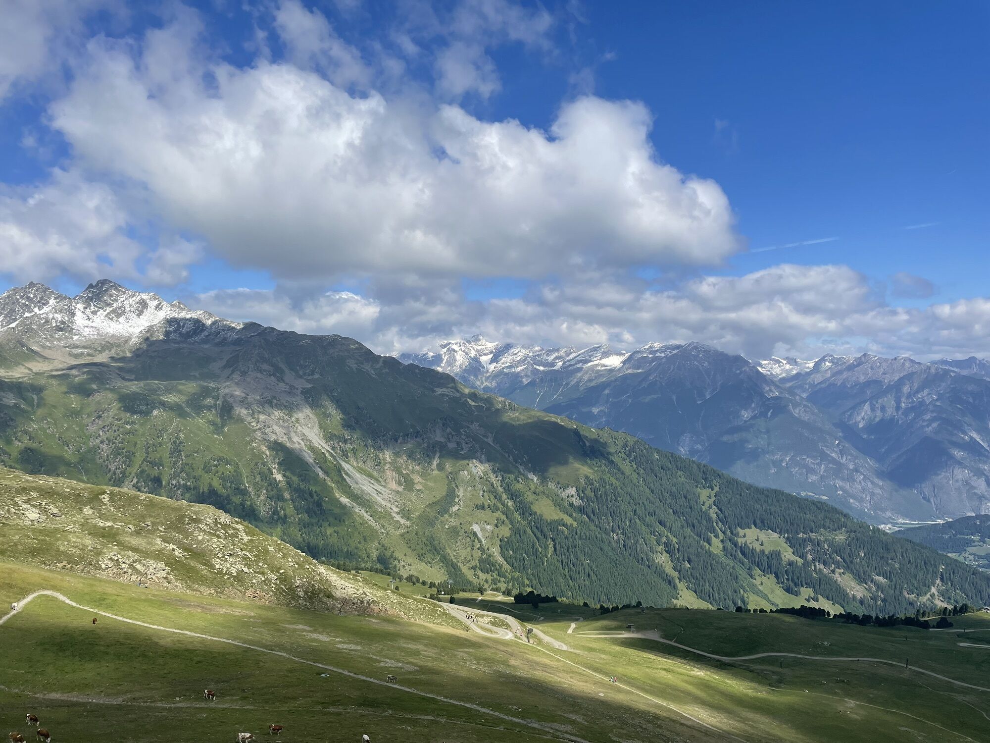
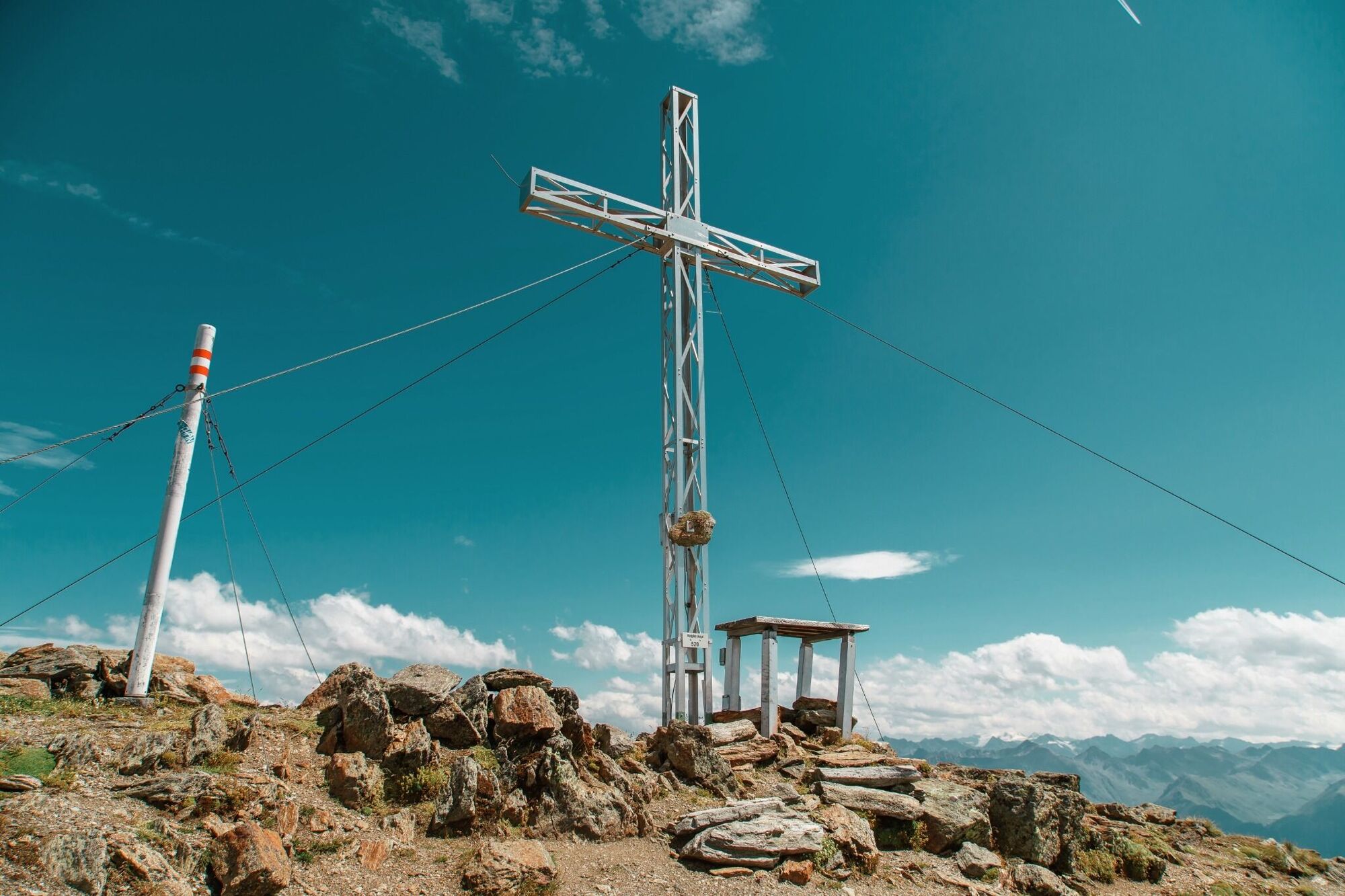
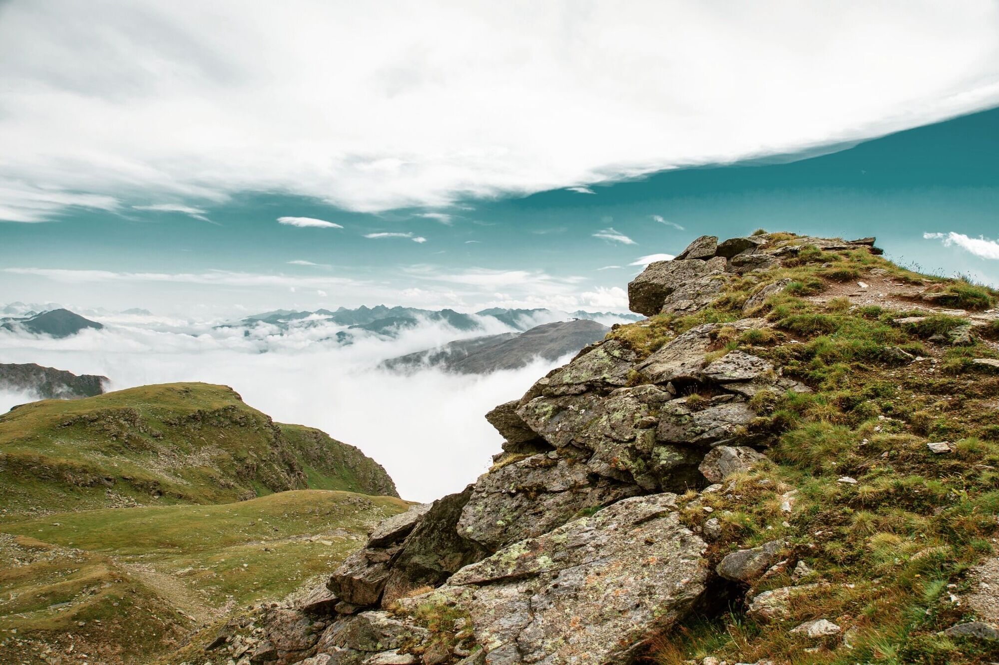
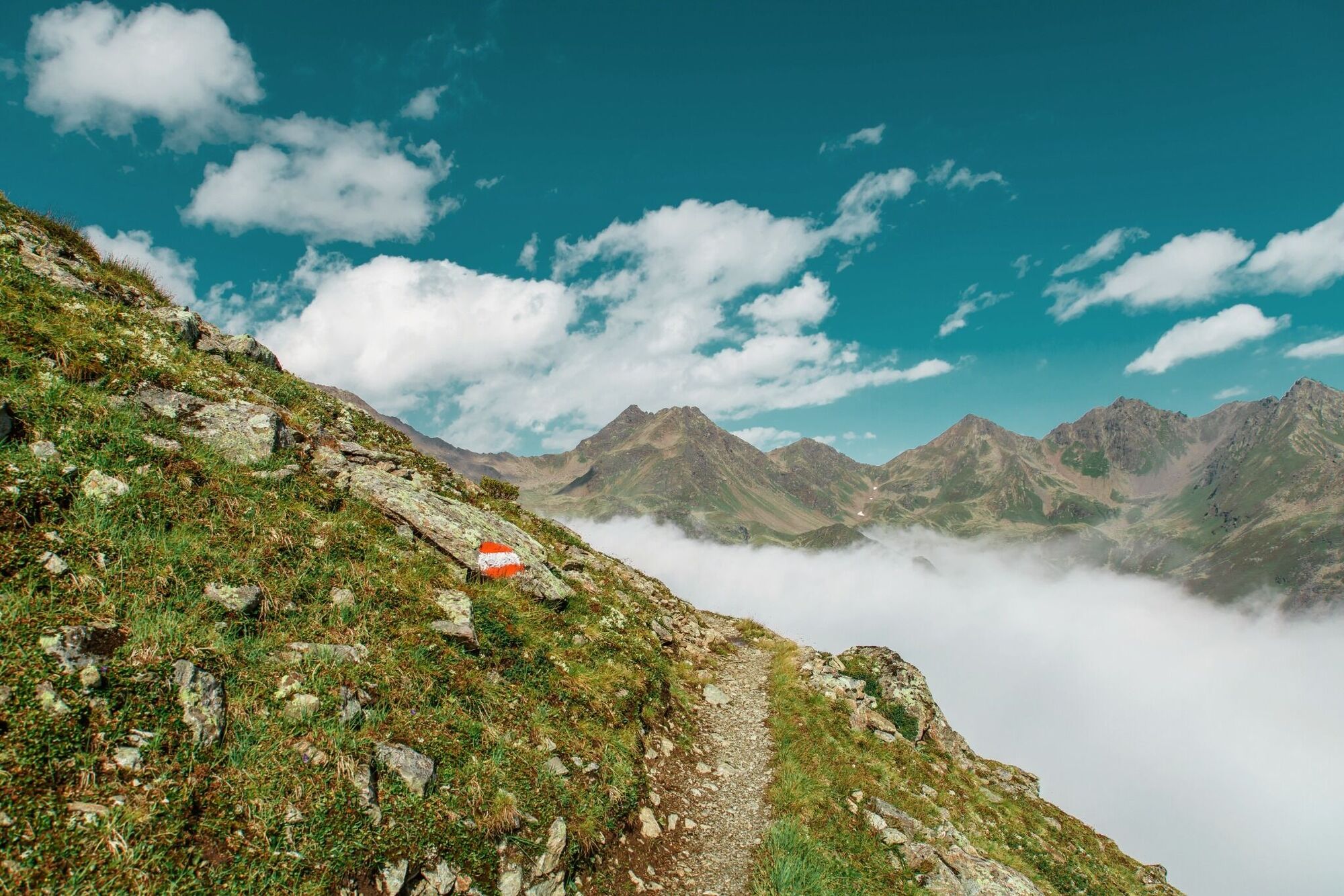
Vom Fisser Joch (F087) auf dem Gratweg Nr. 23 sehr aussichtsreich über die Sattelköpfe (F110), Brunnenköpfe (S255) zum Planskopf 2.804 m (S260). Nun weiter zum Urgjoch (S271), von dort zuerst etwas ansteigend...
Vom Fisser Joch (F087) auf dem Gratweg Nr. 23 sehr aussichtsreich über die Sattelköpfe (F110), Brunnenköpfe (S255) zum Planskopf 2.804 m (S260). Nun weiter zum Urgjoch (S271), von dort zuerst etwas ansteigend am Grat bleiben, dann rechts unter dem Kübelgrubenkopf hindurch, eine Steilflanke querend (Achtung Schneefelder – Rutschgefahr!) zur Kübelgrubenscharte (S276). Hier links vom Grat, zuerst etwas absteigen, dann wieder steiler hoch zur Schulter (S274) am Blauen Kopf und weiter zum Rotpleiskopf (S275). Abstieg zur Ascherhütte oder über die Spinnseen ins Urgtal (F106).
Webcams of the tour
Fiss - Schöngampalm
Fiss - Möseralm
Fiss - Bergstation Schönjochbahn
Königsleithe
Serfaus - Plansegg
Wolfsee
Murmliwasser
Erlebnispark Hög
Erlebnispark Hög
Erlebnispark Hög
Erlebnispark Hög
Erlebnispark Hög
Versing Berg
See/Paznauntal
Oberhalb Langesthei
Mittelstation See
Mittelstation See
Mittelstation See
Mittelstation See
Mittelstation See
Mittelstation See
Stuibenfall
Stuibenfall
Stuibenfall
Stuibenfall
Stuibenfall
Langlaufzentrum Niederthai
Langlaufzentrum Niederthai
Langlaufzentrum Niederthai
Langlaufzentrum Niederthai
Langlaufzentrum Niederthai
Langlaufzentrum Niederthai
Hochgallmigg Landeck
Hochgallmigg Landeck
Popular tours in the neighbourhood
- 4,8
Murmeltierwanderweg
mediumHiking6,87 km - 4,6
Quellenweg & Panorama Genussweg
lightHiking10,5 km - 4,8
Serfaus-Fiss-Ladis-Rundweg
lightMountain hiking10,3 km - 4,5
E5 - 3. Etappe: Memminger Hütte - Zams
mediumLong-distance walking trail14,8 km - 4,5
Radurschelklamm
mediumHiking7,51 km - 5,0
Kaunerberger Wasserweg
mediumHiking15,1 km - 4,9
Furgler vom Lazid
heavyHigh tour9,60 km E5 | Memminger Hütte - Zams
mediumLong-distance walking trail15,1 km- 4,5
Ladis, Matekopf, Fisser Joch, Wonnealpe, Fisser Kuhalm, Fiss, Ladis
mediumHiking22,6 km - 5,0
Holzkugelweg Gemeinde Serfaus, Tirol/Österreich
lightMountain hiking2,72 km
Hiking & Tracking


Don't miss out on offers and inspiration for your next holiday
Your e-mail address has been added to the mailing list.