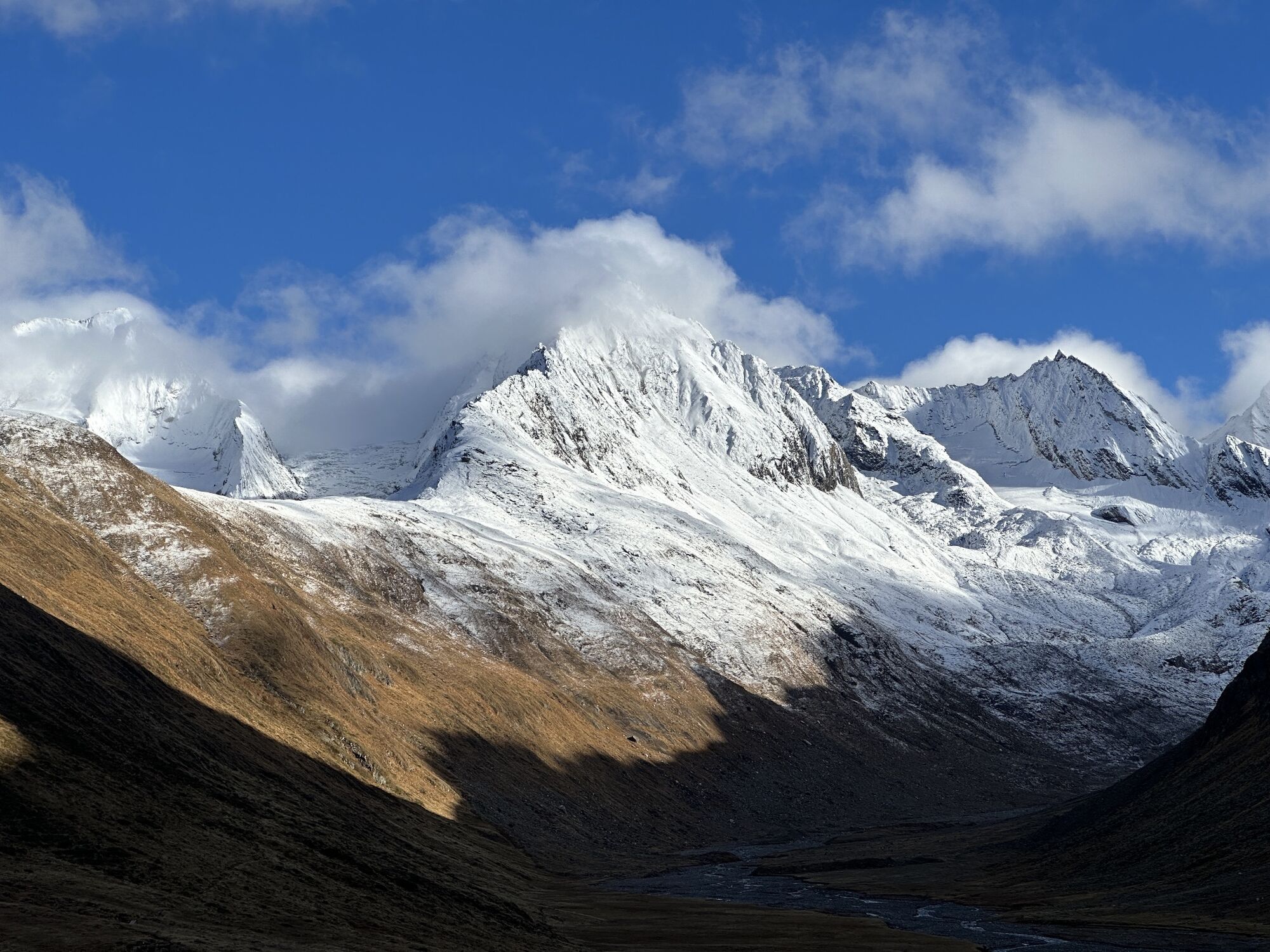
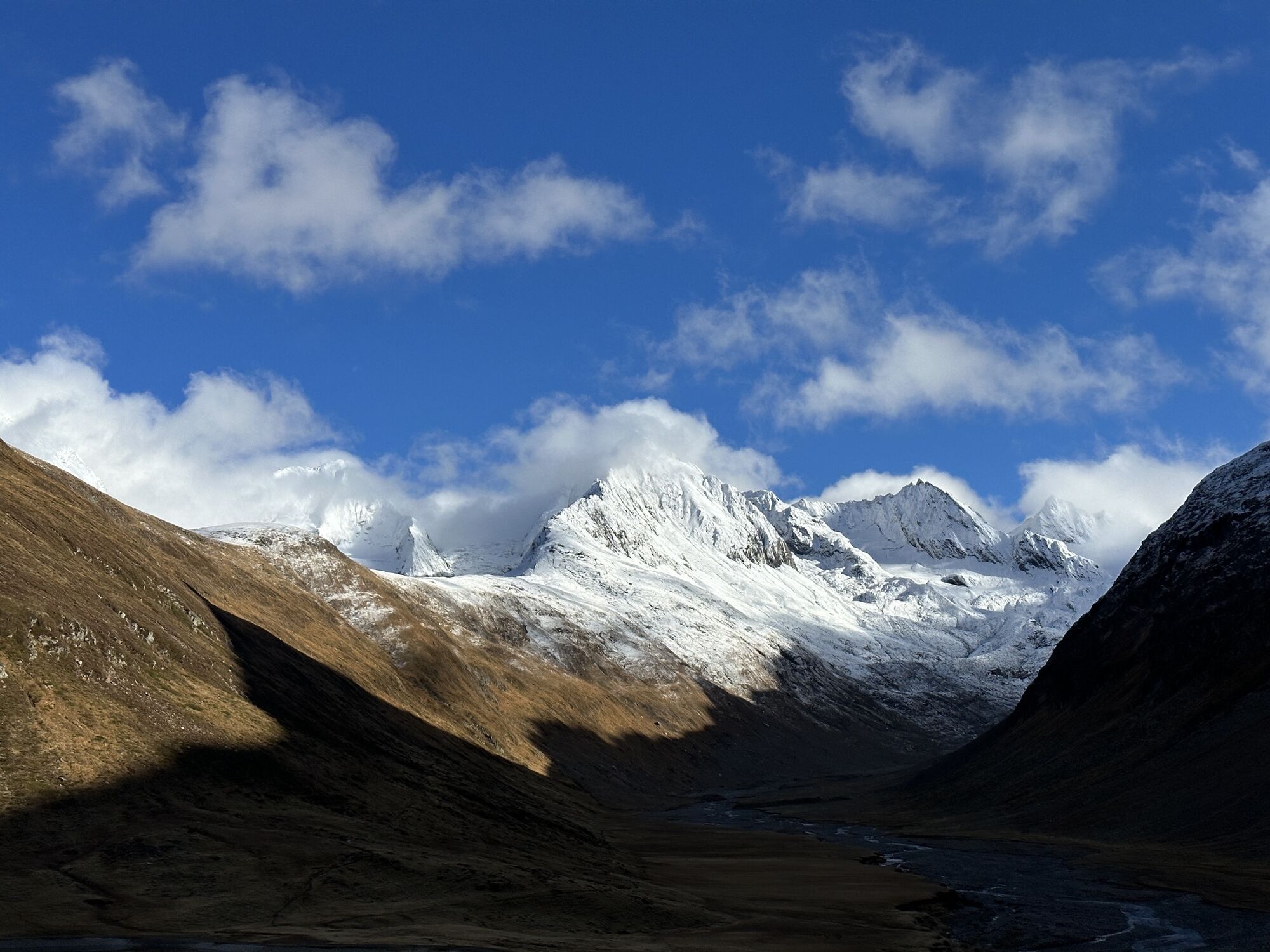
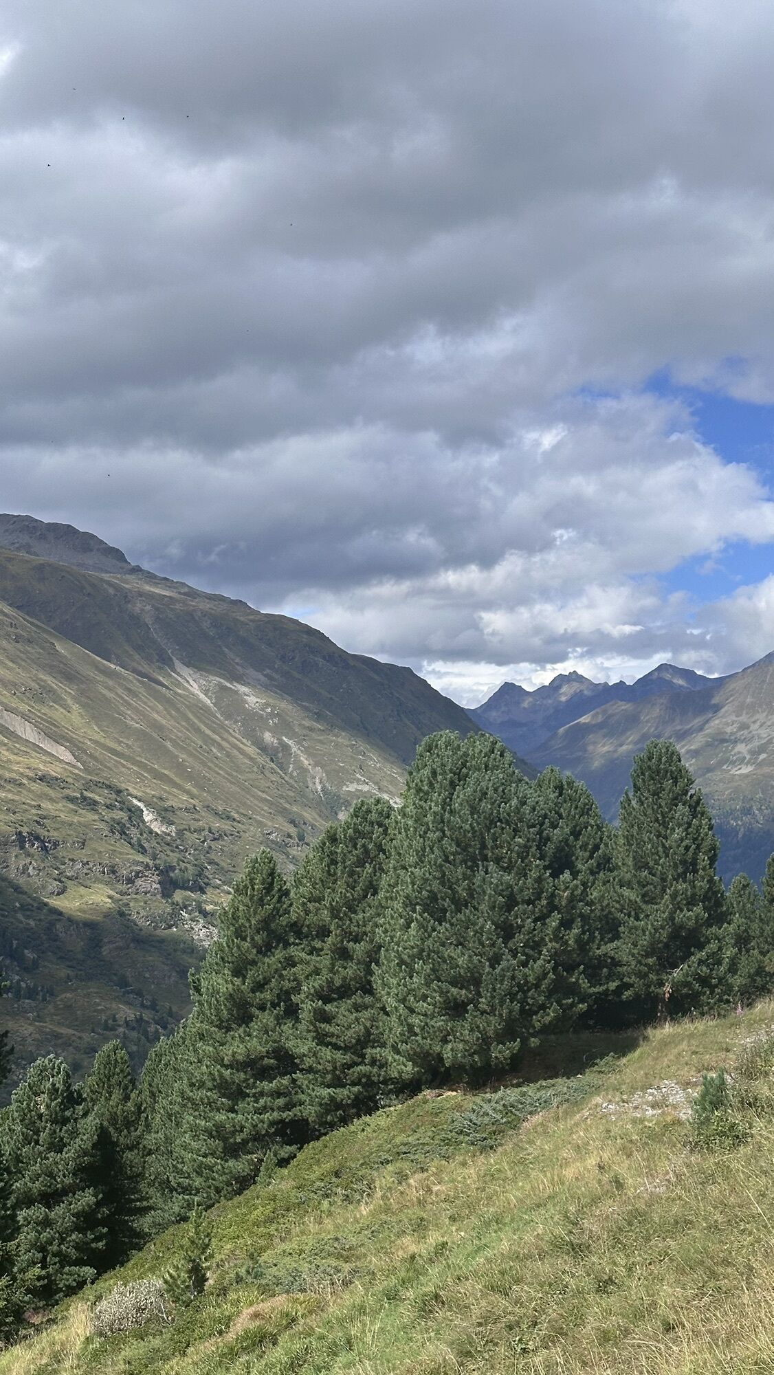
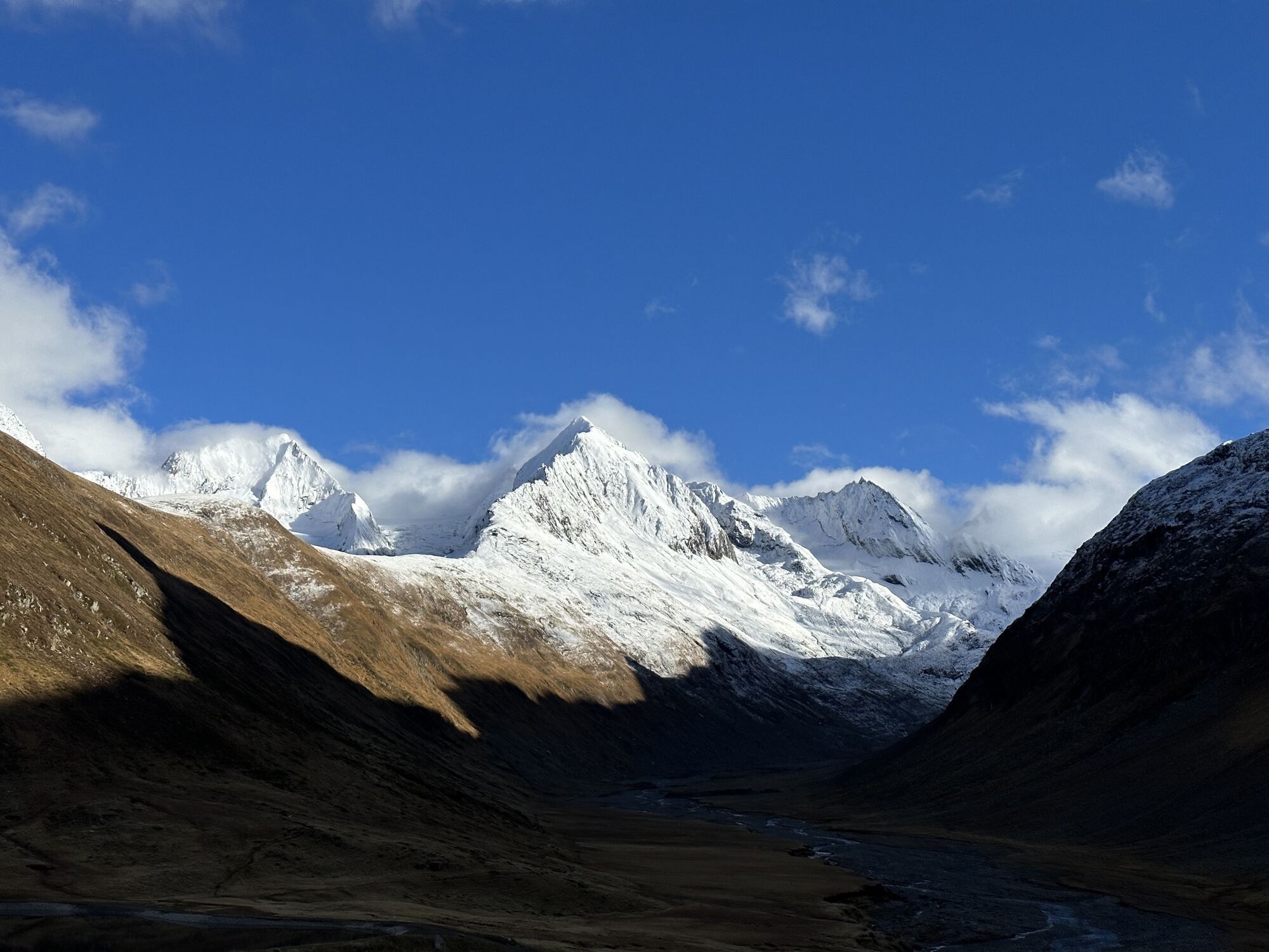
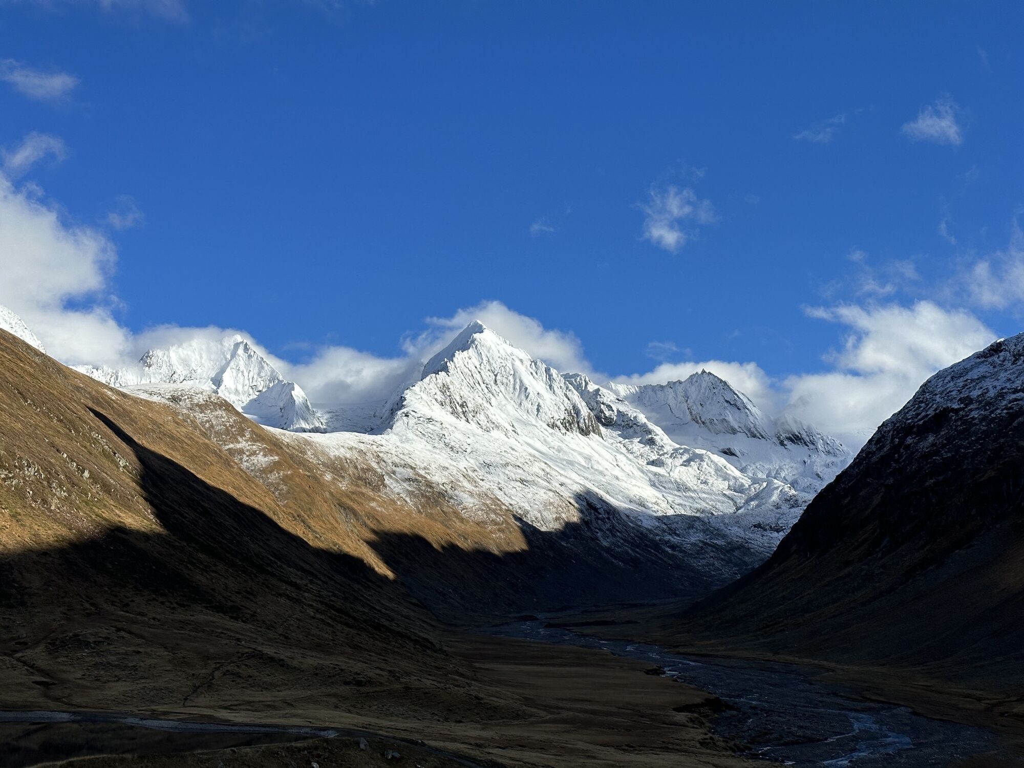
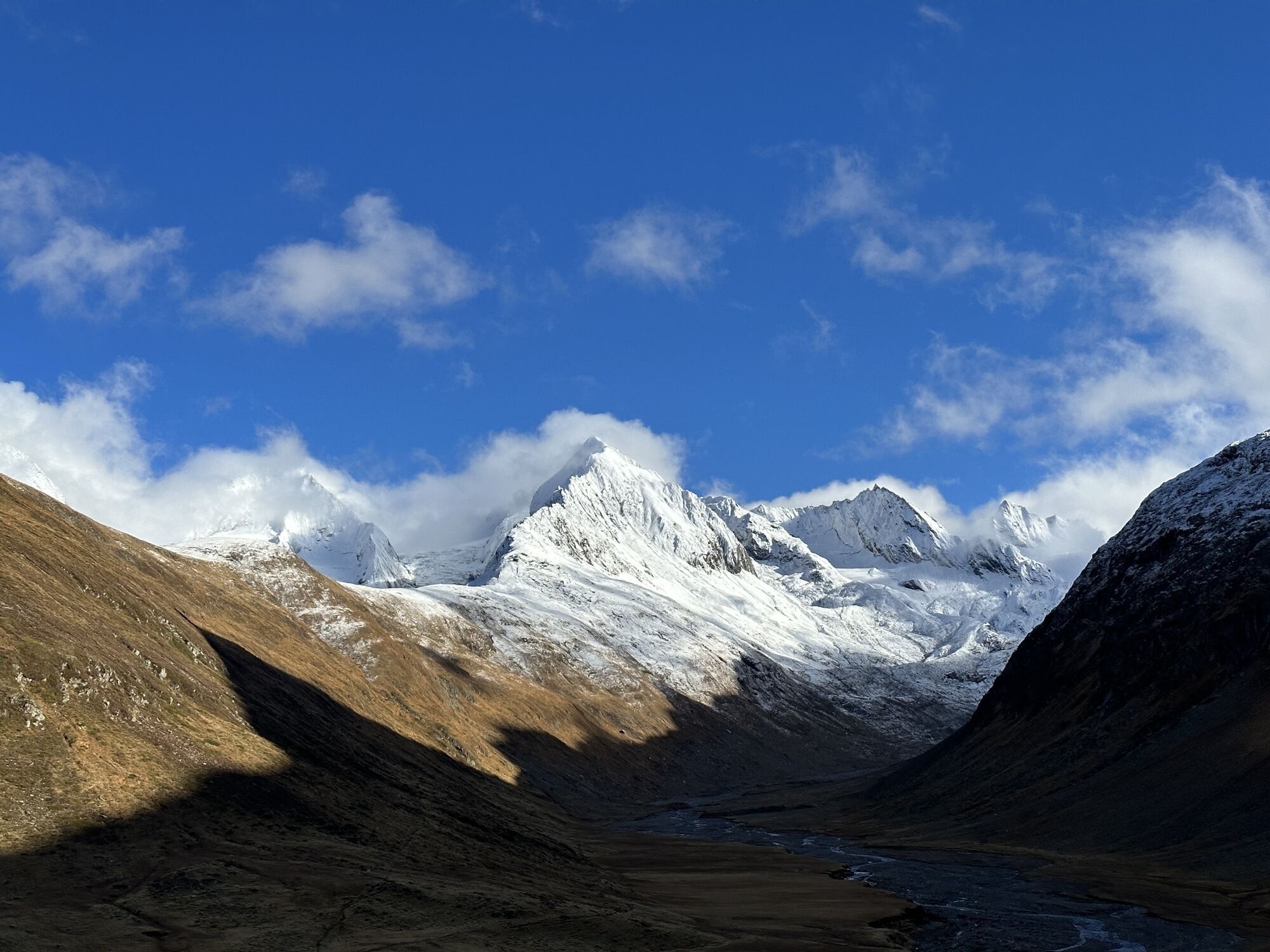
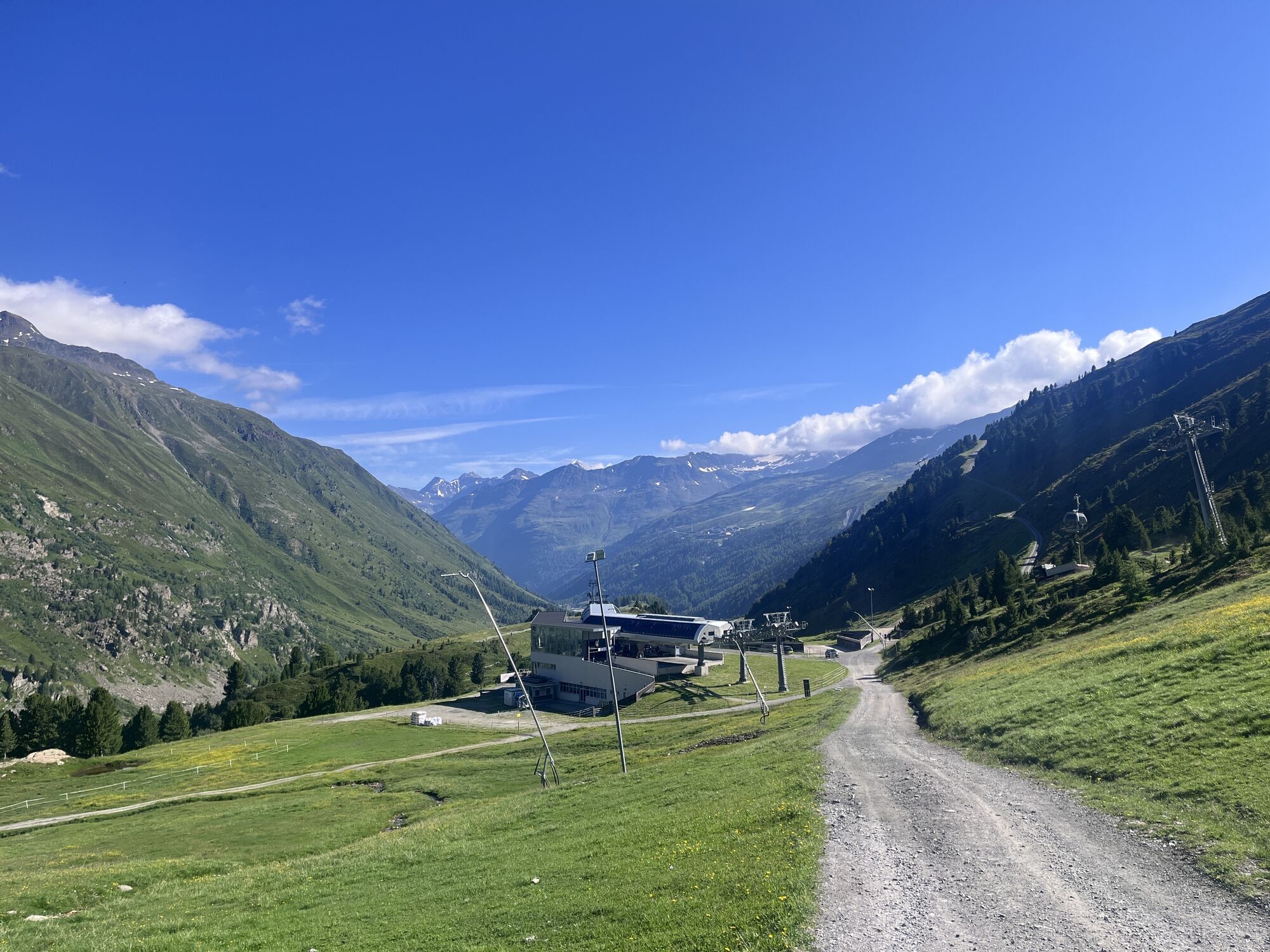
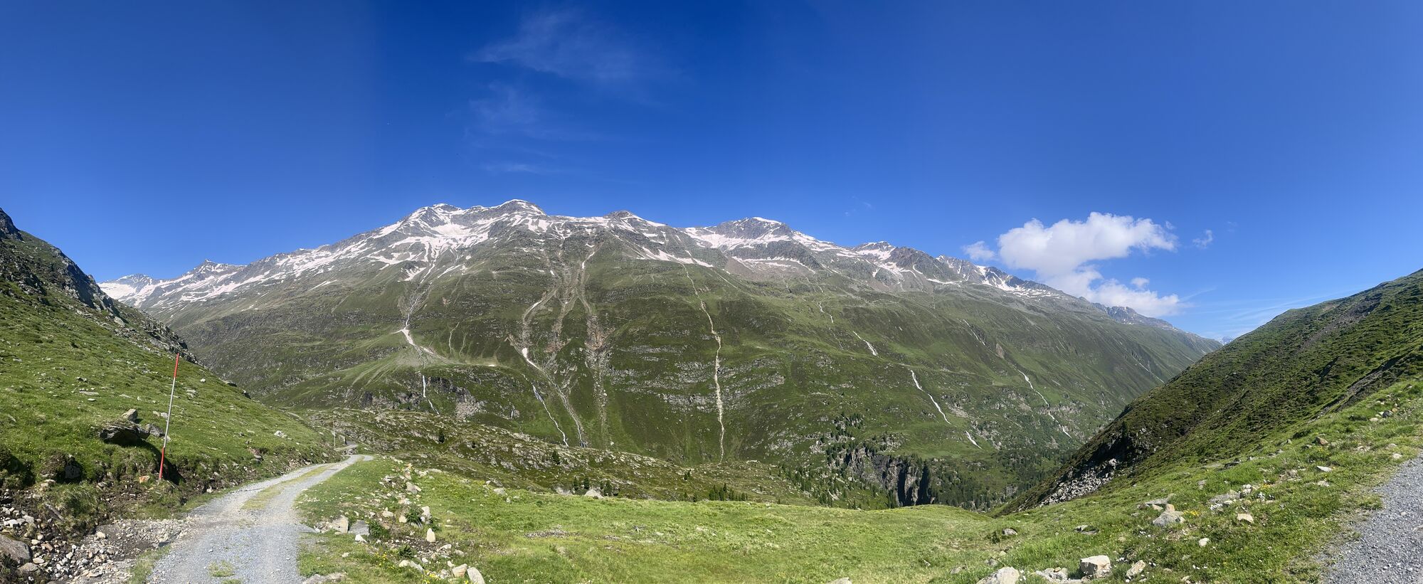
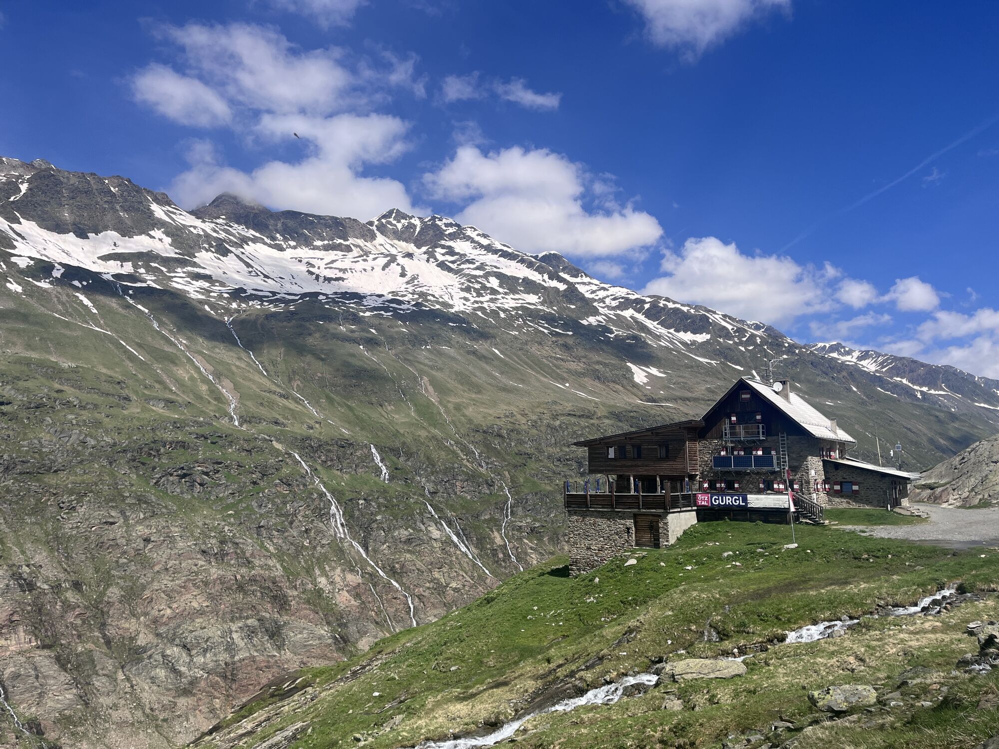
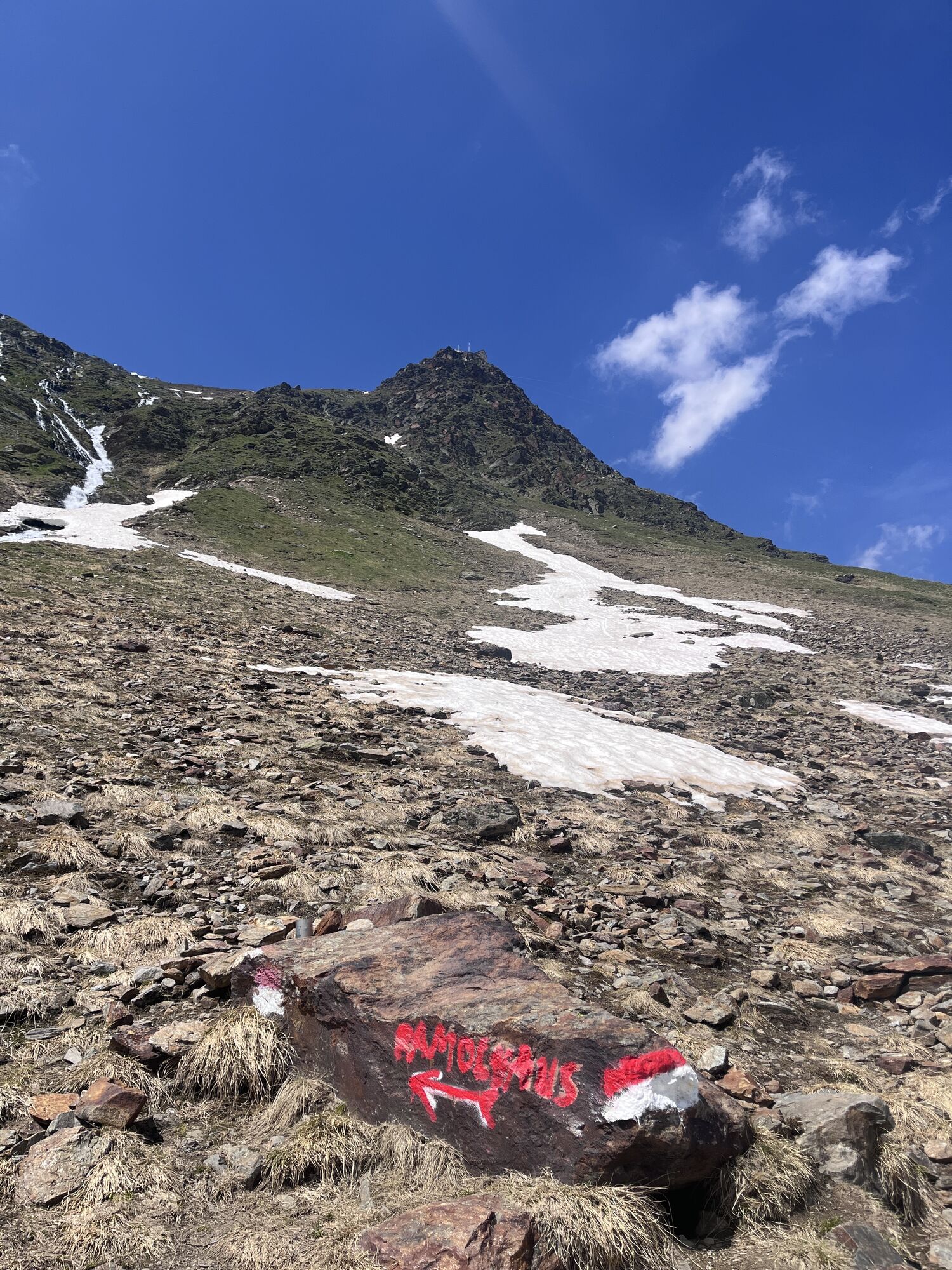
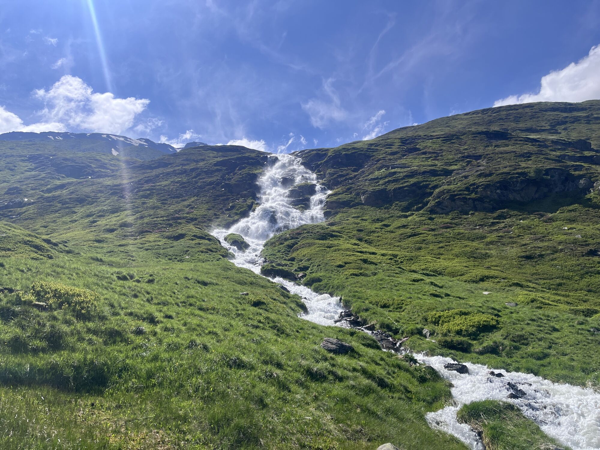
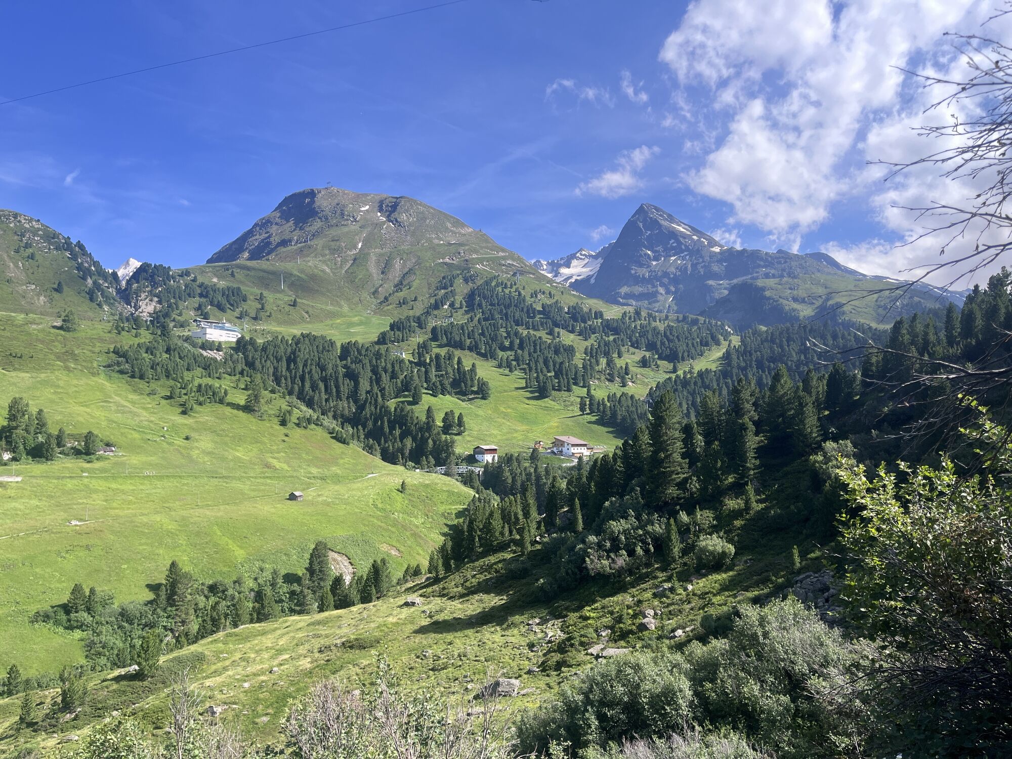
Piccardhütte/(fast)Ramolhaus
medium
Navigate
Navigate
Get this tour on your mobile
Piccardhütte/(fast)Ramolhaus
medium
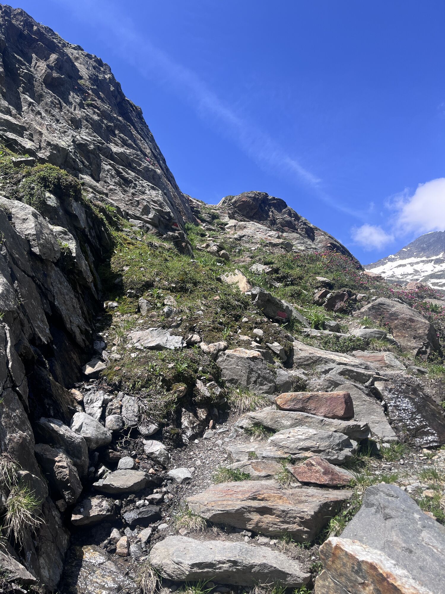
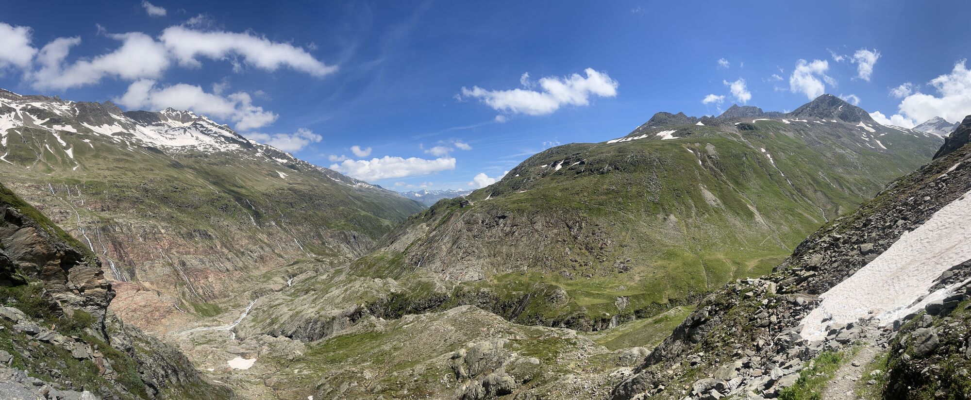
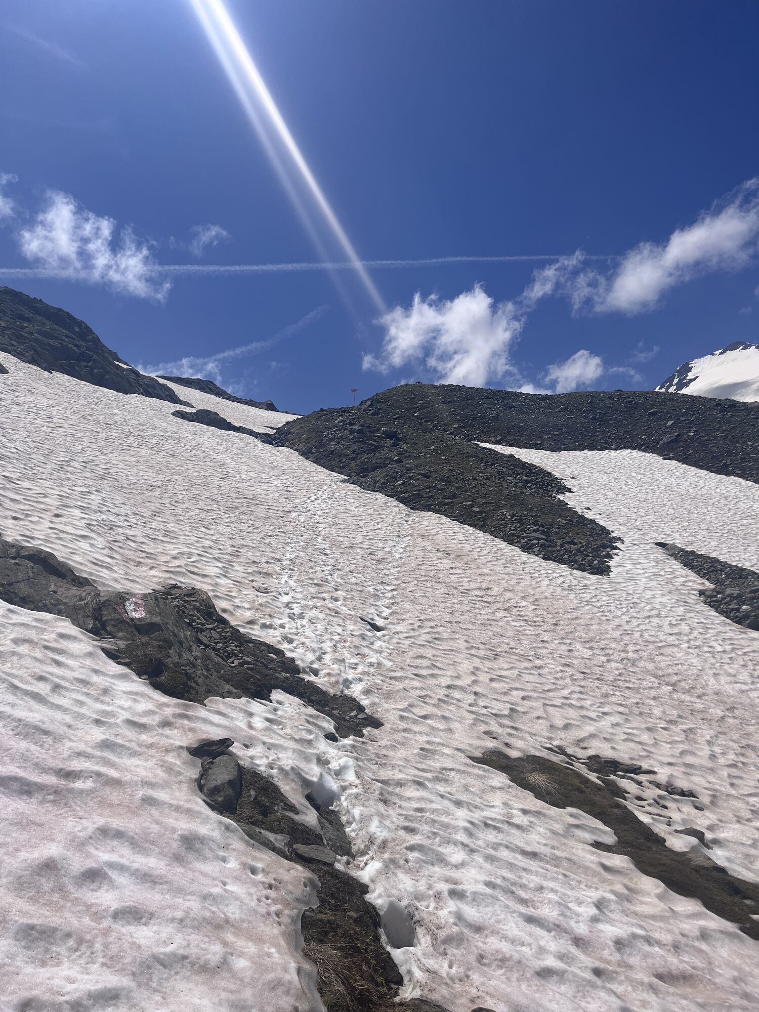
Hiking
17.16
km
Scan the QR code and start navigation in the bergfex app

Hiking & Tracking


Distance
17.16
km
Duration
06:30
h
Ascent
953
m
Sea level
1,897 -
2,687
m
Track download
Piccardhütte/(fast)Ramolhaus
medium
Hiking
17.16
km


Route
Bruggenbodenbahn
(2,126 m)
Gondola station
0.5 km
Schönwieshütte
(2,265 m)
Restaurant
1.9 km
Langtalereckhütte
(2,430 m)
Shelter
5.5 km
Mahdstuhllift
(1,896 m)
Gondola station
16.7 km
Hl. Johannes Nepomuk
(1,907 m)
Place of worship
17.1 km
Obergurgl
(1,907 m)
Village
17.2 km
Route
Bruggenbodenbahn
(2,126 m)
Gondola station
0.5 km
Schönwieshütte
(2,265 m)
Restaurant
1.9 km
Langtalereckhütte
(2,430 m)
Shelter
5.5 km
Mahdstuhllift
(1,896 m)
Gondola station
16.7 km
Hl. Johannes Nepomuk
(1,907 m)
Place of worship
17.1 km
Obergurgl
(1,907 m)
Village
17.2 km

Valuations
1 Comment
Gerhard Seher
10. Jul. 2025
Leider nach Schneefall etwas mühsam auf der Ramolhaus Seite...ansonsten tolle Wanderung
Webcams of the tour
Popular tours in the neighbourhood
- 4.3
Vorderkaser - Eishof / Texelgruppe
lightHiking4.83 km - 4.4
Hochwilde - Pfelders
mediumHigh tour22.1 km - 5.0
Kreuzspitze
heavyHiking11.6 km - 4.5
Vent - Wilder Mann - Breslauer Hütte - Stableinalm
mediumHiking7.25 km - 5.0
From Vent to the Similaun at 3,606 m
heavyHigh tour29.2 km The Meran High Mountain Road from Leiter Alm hut
heavyHiking92.7 km- 4.5
Nederkogl
heavyHiking6.22 km - 4.8
Vent - Martin Busch Hut - Similaun Hut
mediumHiking13.7 km - 5.0
Pfelders - Faltschnaltal - Spronser Seen - Hochmuth
heavyHiking16.7 km - 4.5
Lake Gaislachsee
mediumHiking4.04 km
Hiking & Tracking

Over 550.000 tour suggestions, detailed maps and an intuitive route planner make the app a must-have for all nature enthusiasts.

Don't miss out on offers and inspiration for your next holiday
Subscribe to the newsletter
Error
An error has occurred. Please try again.Thank you for your registration
Your e-mail address has been added to the mailing list.
Tours throughout Europe
Austria Switzerland Germany Italy Slovenia France Netherlands Belgium Poland Liechtenstein Czechia Slovakia Spain Croatia Bosnia and Herzegovina Luxembourg Andorra Portugal Iceland United Kingdom Ireland Greece Albania North Macedonia Malta Norway Montenegro Moldova Kosovo Hungary San Marino Romania Estonia Latvia Belarus Cyprus Lithuania Serbia Bulgaria Monaco Denmark Sweden Finland