


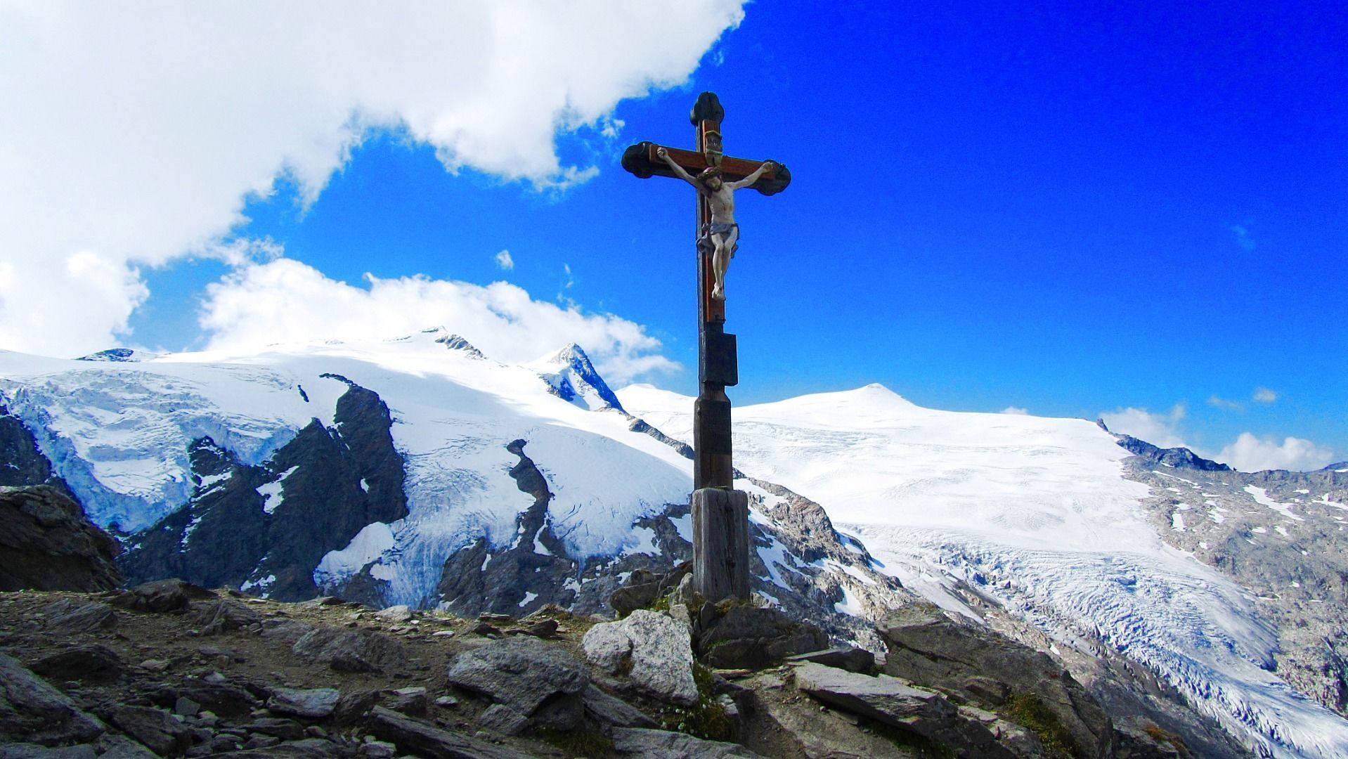
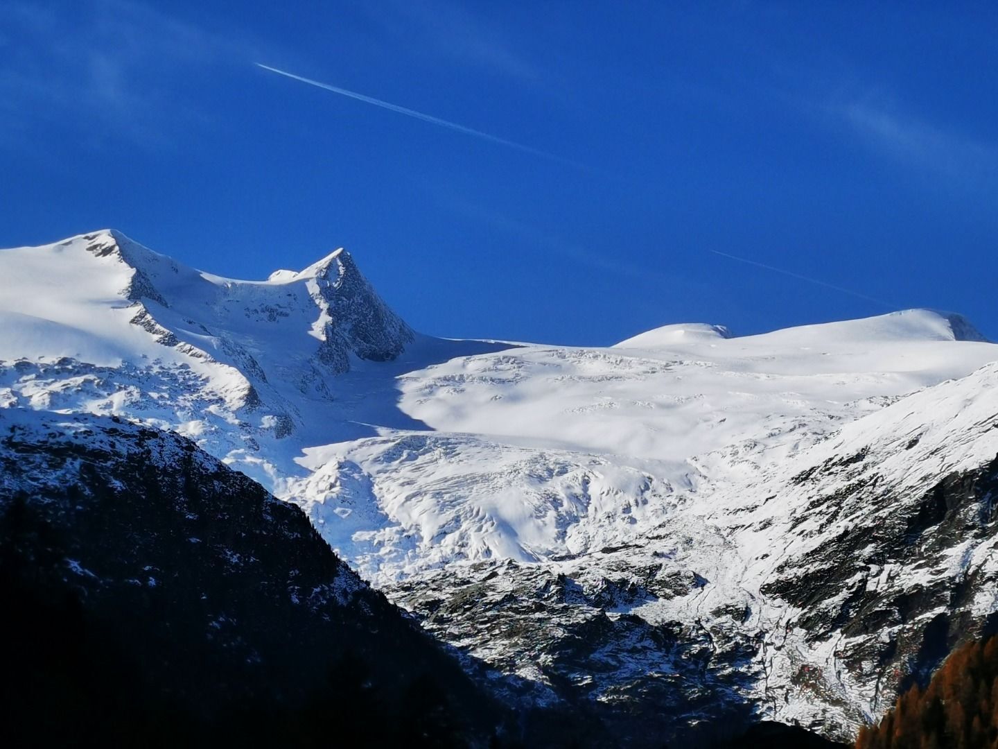
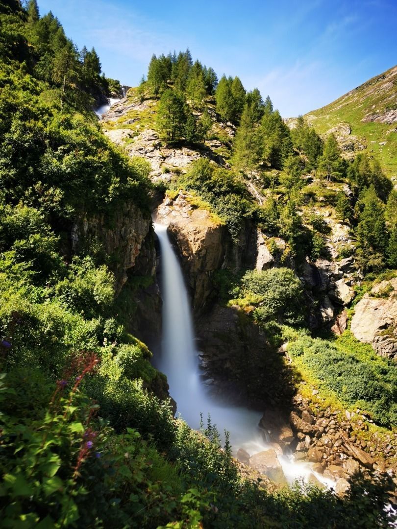
From the Badenerhütte you climb up to the Löbbentörl, one of the best places regarding panoramic view, and then down towards the Salzbodensee. Shortly before you turn left and follow the signs Gletscherweg,...
From the Badenerhütte you climb up to the Löbbentörl, one of the best places regarding panoramic view, and then down towards the Salzbodensee. Shortly before you turn left and follow the signs Gletscherweg, direction Neue Prager Hütte. The view to the left in the direction of Schlatenkees invites you to take a short break. For brisk hikers, a short detour to the glacier is also an option. On the descent, follow the signs to Venedigerhaus Innergschlöß. In many serpentines you reach the Venedigerhaus Innergschlöß after about 4.5 hours. From there on foot, by hut cab or panorama train to the Matreier Tauernhaus.
Popular tours in the neighbourhood
- 4,6
Vom Matreier Tauernhaus über die Felsenkapelle nach Innergschlöss
lightHiking9,19 km - 4,1
Gletscherlehrweg Innergschlöß
mediumHiking9,36 km - 4,5
Circular hike Proßeggklamm
mediumHiking8,41 km - 4,4
Bramberg: Smaragdweg
lightThematic route7,27 km - 4,5
Smaragdweg
lightHiking7,84 km - 5,0
Gletscherweg Innergschlöß Großvenediger
mediumHiking11,0 km - 5,0
Vom Matreier Tauernhaus zum Venedigerhaus
lightHiking8,98 km - 4,7
Smaragdweg, Habachtal, Bramberg
lightHiking15,5 km - 4,7
Runde um den Weißsee - Gletscherlehrpfad Uttendorf, Österreich
mediumHiking6,48 km - 5,0
Muhs-Panoramaweg
mediumHiking14,0 km
Hiking & Tracking


Don't miss out on offers and inspiration for your next holiday
Your e-mail address has been added to the mailing list.