


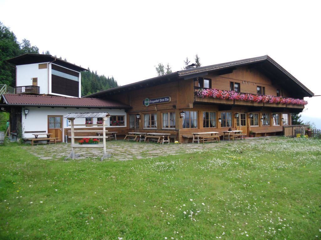
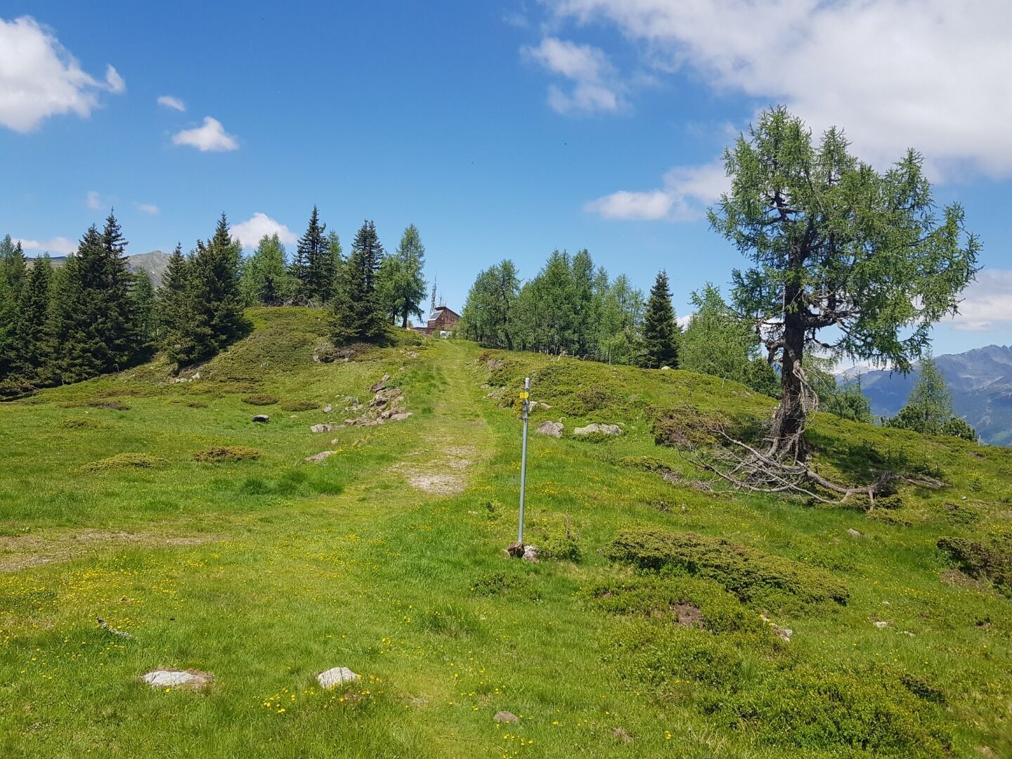
The starting point for the parallel summer trail is the mountain station of the two-seater chairlift, the Sternalm (1505 m). Climb uphill along the meadow (piste in winter). After the right-hand loop,...
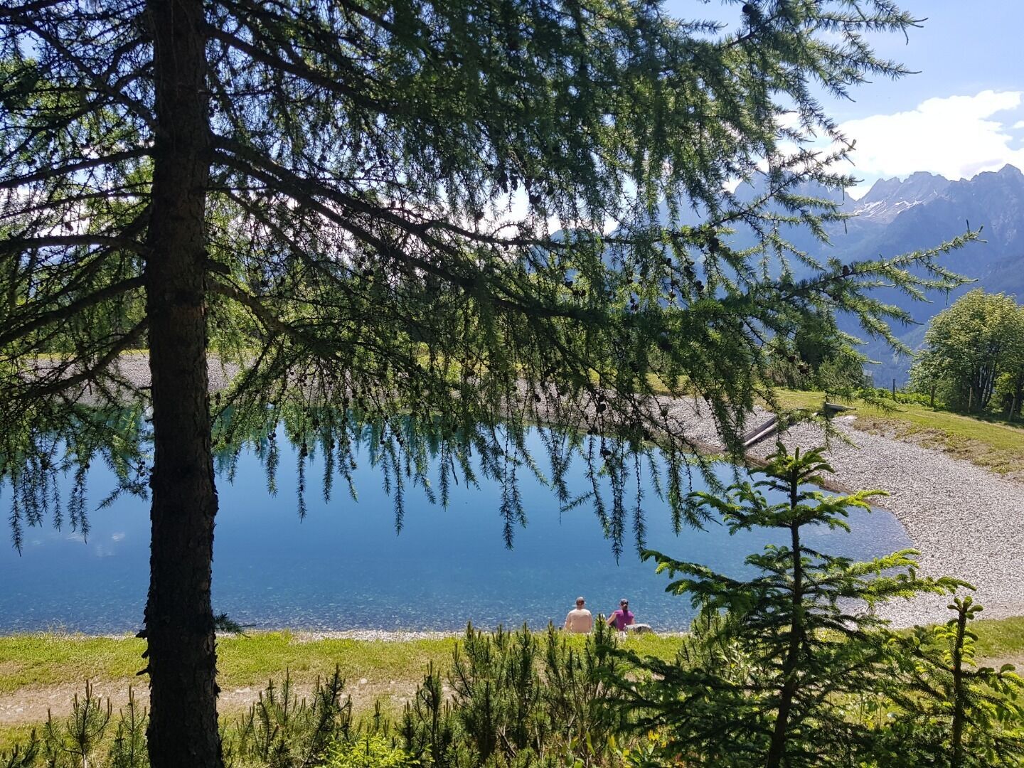
The starting point for the parallel summer trail is the mountain station of the two-seater chairlift, the Sternalm (1505 m). Climb uphill along the meadow (piste in winter). After the right-hand loop, cross the meadow as quickly as possible. The so-called "Märchensteig" (fairytale trail) begins at the "Hubertussee" reservoir.
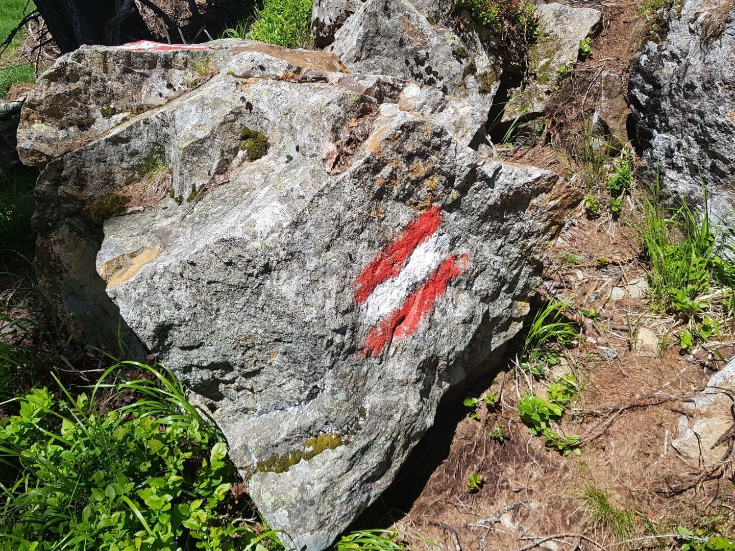
Red-white-red markings on the ground help you to find the exact trail.
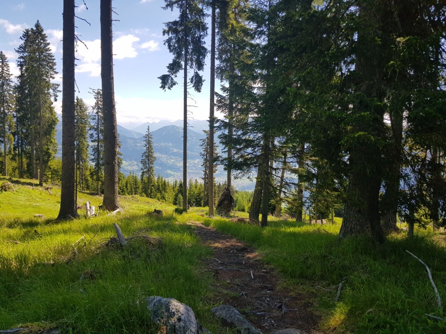
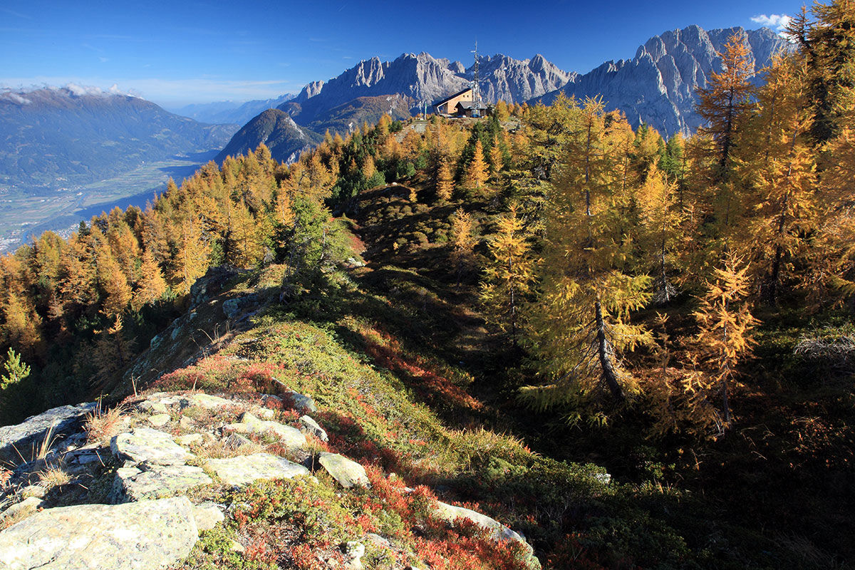
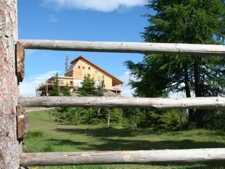
Halfway up, at approx. 1780 m, you come across a nice shelter before continuing the ascent over open terrain to the Hochstein hut.
Mit dem Auto Richtung Iseltal, auf der linken Seite befindet sich die Schlossbergbahn.
Mit dem Bus bis zur Bushaltestelle "Lienz Hochstein/Schloss Bruck" und dann mit der Gondel bis zur Moosalm und dann weiter bis zur Sternalm.
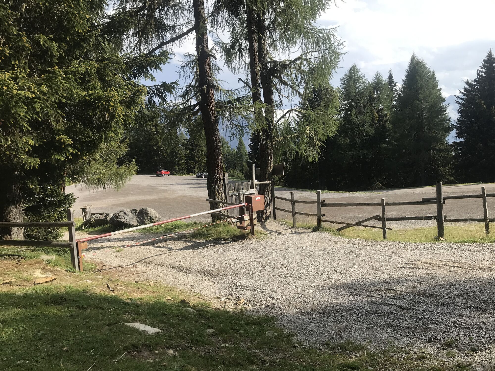
Parkplatz Schlossbergbahn Talstation
Popular tours in the neighbourhood
- 4,7
Glödis 3206m: PP Seichenbrunn, Lienzer Hütte, Glödis KS A/B
heavyHigh tour16,1 km - 4,8
Lienzer Dolomiten-Lasertörl
mediumHiking13,2 km - 5,0
Ederplan Runde vom Parkplatz Stronach
mediumHiking7,19 km - 4,7
Anna Schutzhaus am Ederplan
mediumHiking2,76 km - 3,9
Summit hike to the Hochstadel
mediumHiking7,83 km - 4,8
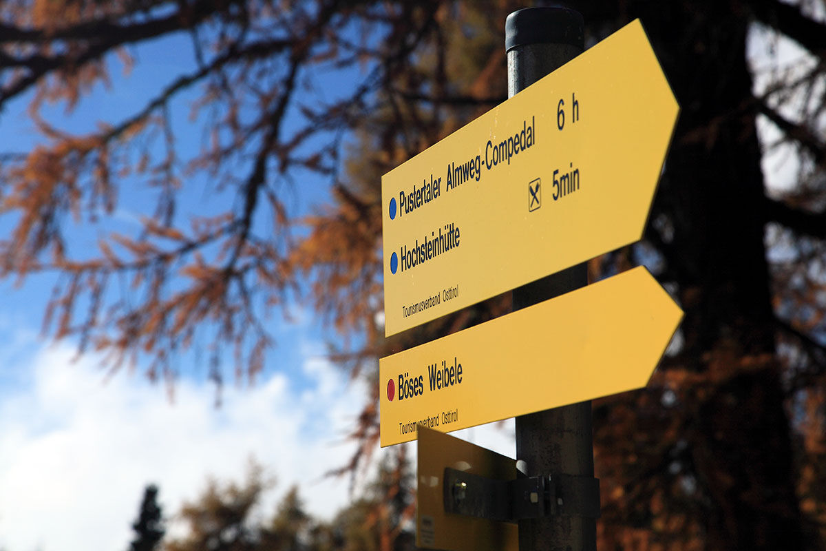
Böses Weibele - Pustertaler Höhenweg
mediumHiking13,2 km - 2,6
Lienzer Dolomiten: Karlsbader Hütte und Laserzwand
lightHiking5,91 km - 5,0
Dolomitenhütte, Rudl-Eller-Weg / Steig, Piccola Ferrata, Laserzsee, Karlsbaderhütte, Dolomitenhütte, Tristach, Österreich
mediumMountain hiking11,1 km - 3,2
Straßkopf
mediumSki tour10,6 km - 4,8
#33: Schleinitz Klettersteig, 3 Gipfel Runde (B)
mediumVia ferrata10,6 km
Hiking & Tracking


Don't miss out on offers and inspiration for your next holiday
Your e-mail address has been added to the mailing list.