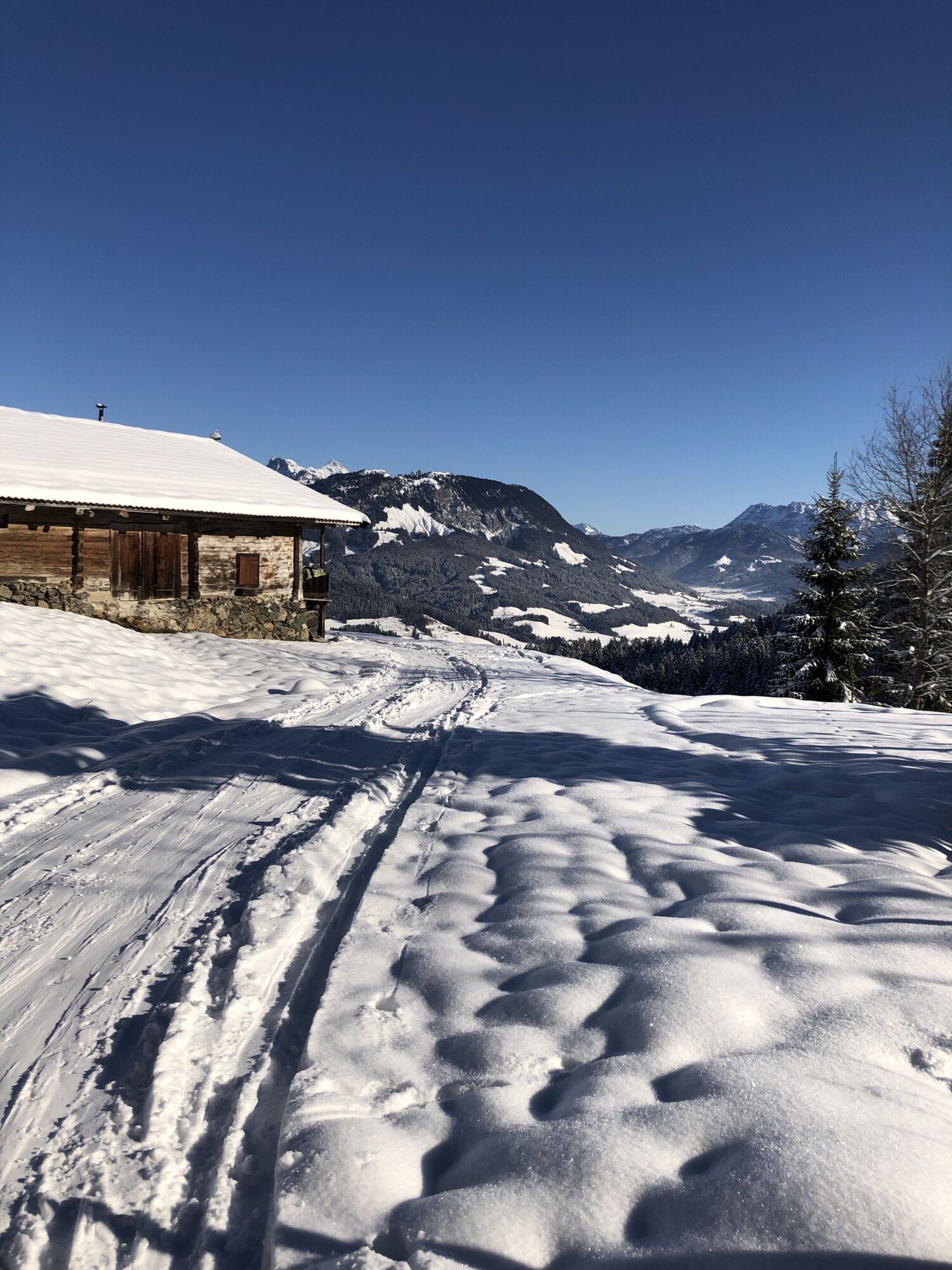
St. Johann in Tirol - Oberhofen - Kalkstein (Baumooskogel) - Boberer
heavy
Navigate
Navigate
Get this tour on your mobile
St. Johann in Tirol - Oberhofen - Kalkstein (Baumooskogel) - Boberer
heavy
Hiking
19.57
km
Scan the QR code and start navigation in the bergfex app

Hiking & Tracking


Distance
19.57
km
Duration
06:10
h
Ascent
1,182
m
Sea level
656 -
1,503
m
Track download
St. Johann in Tirol - Oberhofen - Kalkstein (Baumooskogel) - Boberer
heavy
Hiking
19.57
km


Route
St. Johann in Tirol
(658 m)
City
0.1 km
Kalkstein (Baumooskogel)
(1,506 m)
Summit
6.5 km
Reitham
(691 m)
Settlement
11.8 km
Theresienkapelle
(701 m)
Place of worship
13.1 km
Eifersbacher Wasserfall
(827 m)
Waterfall
14.1 km
Evangelikale Freikirche
(669 m)
Place of worship
18.2 km
St. Johann in Tirol
(658 m)
City
19.1 km
Route
St. Johann in Tirol
(658 m)
City
0.1 km
Boberer
(657 m)
Corridor/terrain
0.1 km
Wieshofermühle
(657 m)
Corridor/terrain
0.1 km
Lafferer
(663 m)
Corridor/terrain
1.2 km
Oberhofen
(664 m)
Settlement
1.4 km
Bachern
(667 m)
Corridor/terrain
1.4 km
Horndachern
(668 m)
Corridor/terrain
1.5 km
Peternfellmoos
(810 m)
Corridor/terrain
2.7 km
Scheffau
(943 m)
Settlement
3.7 km
Kalkstein (Baumooskogel)
(1,506 m)
Summit
6.5 km
Brandleiten
(807 m)
Corridor/terrain
10.8 km
Reitham
(691 m)
Settlement
11.8 km
Sammern
(681 m)
Corridor/terrain
12.0 km
Samer-Badl
(699 m)
Corridor/terrain
13.0 km
Samer Talmühle
(700 m)
Corridor/terrain
13.0 km
Theresienbad
(699 m)
Corridor/terrain
13.0 km
Aiffersbachermühle
(699 m)
Corridor/terrain
13.0 km
Hinterbichl
(700 m)
Corridor/terrain
13.0 km
Theresienkapelle
(701 m)
Place of worship
13.1 km
Eiffersbacher Wasserfall
(810 m)
Viewpoint
14.1 km
Eifersbacher Wasserfall
(827 m)
Waterfall
14.1 km
Grander Schupf
(825 m)
Restaurant
16.1 km
Buchern
(675 m)
Corridor/terrain
18.0 km
Fiechtern
(674 m)
Corridor/terrain
18.1 km
Grandern in Alpendorf
(672 m)
Corridor/terrain
18.1 km
Brünntal-Häusl
(670 m)
Corridor/terrain
18.1 km
Evangelikale Freikirche
(669 m)
Place of worship
18.2 km
Beim Mair
(669 m)
Corridor/terrain
18.2 km
Roaner
(668 m)
Corridor/terrain
18.3 km
Moar
(667 m)
Corridor/terrain
18.4 km
St. Johann in Tirol
(658 m)
City
19.1 km
Eibl
(659 m)
Corridor/terrain
19.3 km
Maler
(659 m)
Corridor/terrain
19.3 km
Roßhäusl
(658 m)
Corridor/terrain
19.4 km
Boberer
(657 m)
Corridor/terrain
19.5 km
No reviews yet
Webcams of the tour
-
Kitzbüheler Hornköpfl
-
Kirchdorf in Tirol - Pension Sonnleit'n
-
St. Johann in Tirol
-
Dorfplatz - St. Johann in Tirol
-
Huber Bräu St. Johann in Tirol
-
Grander Schupf
-
Koasastadion
-
Kitzbüheler Hornköpfl
-
Kitzbüheler Hornköpfl
-
Kitzbüheler Hornköpfl
-
Kitzbüheler Hornköpfl
-
Kitzbüheler Hornköpfl
-
Kitzbüheler Hornköpfl
-
Kitzbüheler Hornköpfl
-
Eichenhof - St. Johann in Tirol
-
Flugplatz St. Johann in Tirol
-
Flugplatz St. Johann in Tirol
-
Tauwiesenlift & OD Trails
-
Harschbichl Bergstation
-
Oberndorf - Penzinghang
-
Speicherteich Hornköpfl
-
St. Johann in Tirol
-
Harschbichl Mittelstation
-
Harschbichl Mittelstation
-
Penzinghang Oberndorf
-
Kalkstein - St. Johann in Tirol
-
Kalkstein - St. Johann in Tirol
-
St. Johann in Tirol - Romantik Aparthotel Sonnleitn
-
Kitzbüheler Horn
-
St. Johann in Tirol
Popular tours in the neighbourhood
-
4.7
Grießbachklamm - Almenrunde
lightHiking 12.4 km -
4.9
Streif Wanderweg
mediumHiking 5.73 km -
4.8
Ellmauer Tor (22.07.2020)
mediumHiking 9.32 km -
4.5
Jubiläumssteig Kaisergrbirge
lightVia ferrata 6.29 km -
5.0
Gruttenhütte über Klammlweg
mediumHiking 5.61 km -
4.7
Durch die Teufelsgasse zur Prostalm
mediumHiking 6.43 km -
4.6
Kitz Bhf- Kitzbühler Horn und zurück zum Alpenhaus
mediumHiking 11.8 km -
4.9
Loferer Steinberge, zum Hinterhorn über die Schmid-Zabierow Hütte, 19.06.22
heavyHiking 14.0 km -
Route 232: Hahnenkamm
Mountainbike 15.1 km -
5.0
Kirchdorf: Stripsenjoch Klettersteige
heavyVia ferrata 3.76 km
Hiking & Tracking

Over 550.000 tour suggestions, detailed maps and an intuitive route planner make the app a must-have for all nature enthusiasts.

Don't miss out on offers and inspiration for your next holiday
Subscribe to the newsletter
Error
An error has occurred. Please try again.
Thank you for your registration
Your e-mail address has been added to the mailing list.
Tours throughout Europe
Austria
Switzerland
Germany
Italy
Slovenia
France
Netherlands
Belgium
Poland
Liechtenstein
Czechia
Slovakia
Spain
Croatia
Bosnia and Herzegovina
Luxembourg
Andorra
Portugal
Iceland
United Kingdom
Ireland
Greece
Albania
North Macedonia
Malta
Norway
Montenegro
Moldova
Kosovo
Hungary
San Marino
Romania
Estonia
Latvia
Belarus
Cyprus
Lithuania
Serbia
Bulgaria
Monaco
Denmark
Sweden
Finland