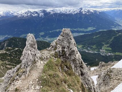
Seefeld, Reither Spitze
Hiking
Navigate
Navigate
Get this tour on your mobile
Seefeld, Reither Spitze
Hiking
13.27
km
Scan the QR code and start navigation in the bergfex app

Hiking & Tracking


Distance
13.27
km
Duration
03:23
h
Ascent
1,161
m
Sea level
1,262 -
2,343
m
Track download
Seefeld, Reither Spitze
Hiking
13.27
km


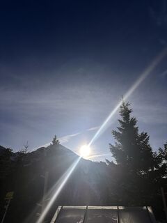
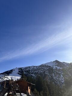
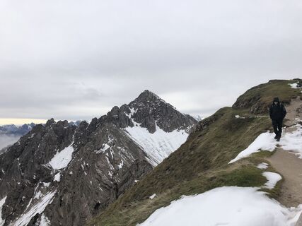
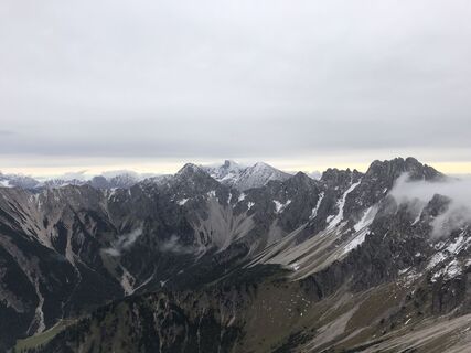
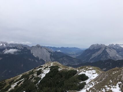
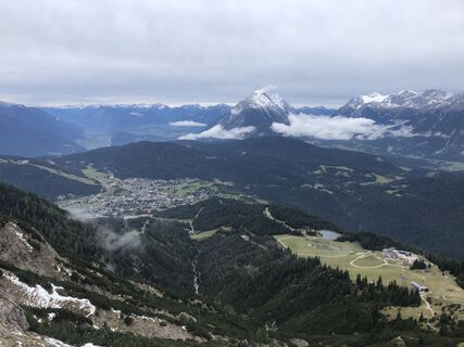
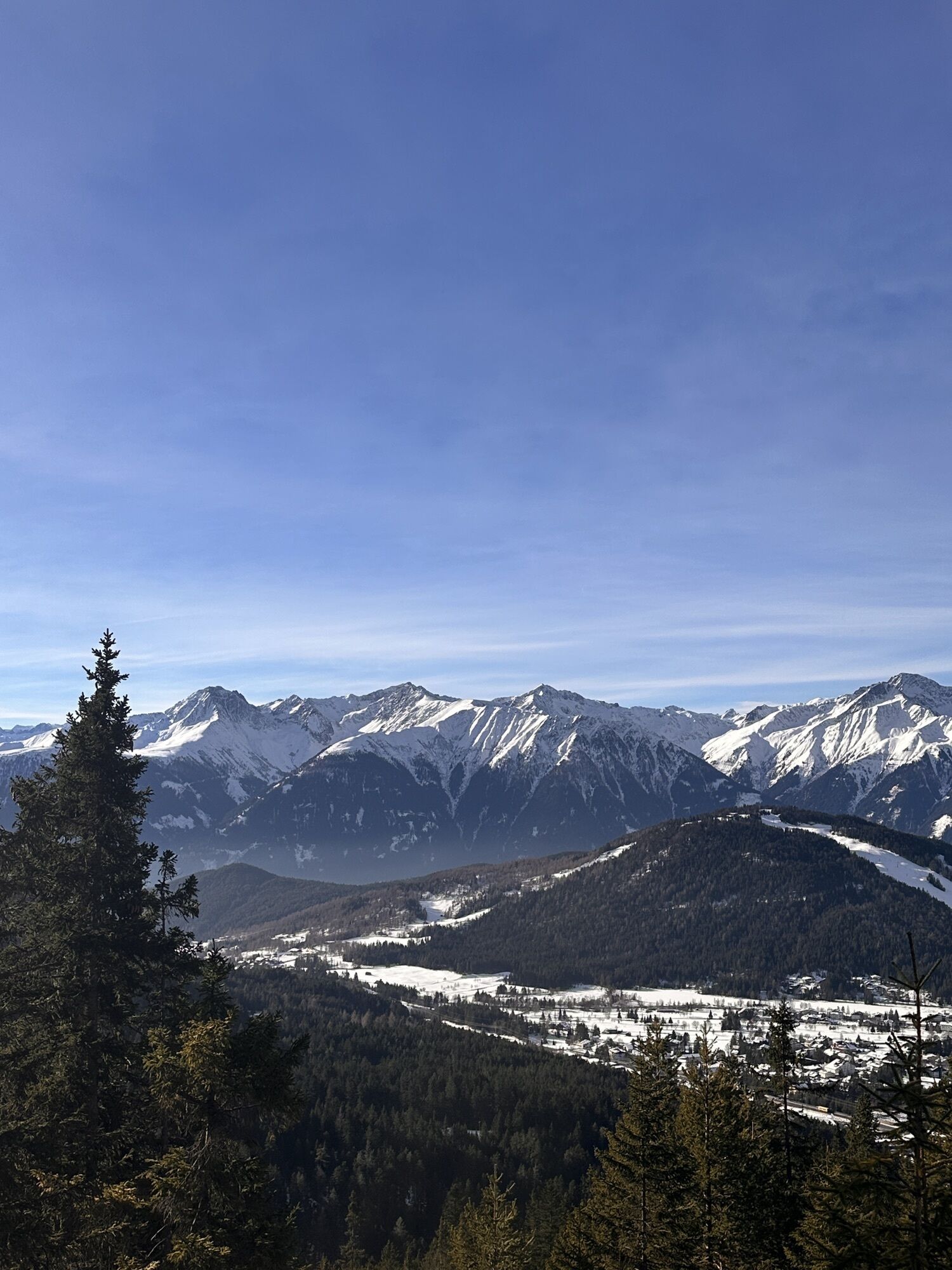
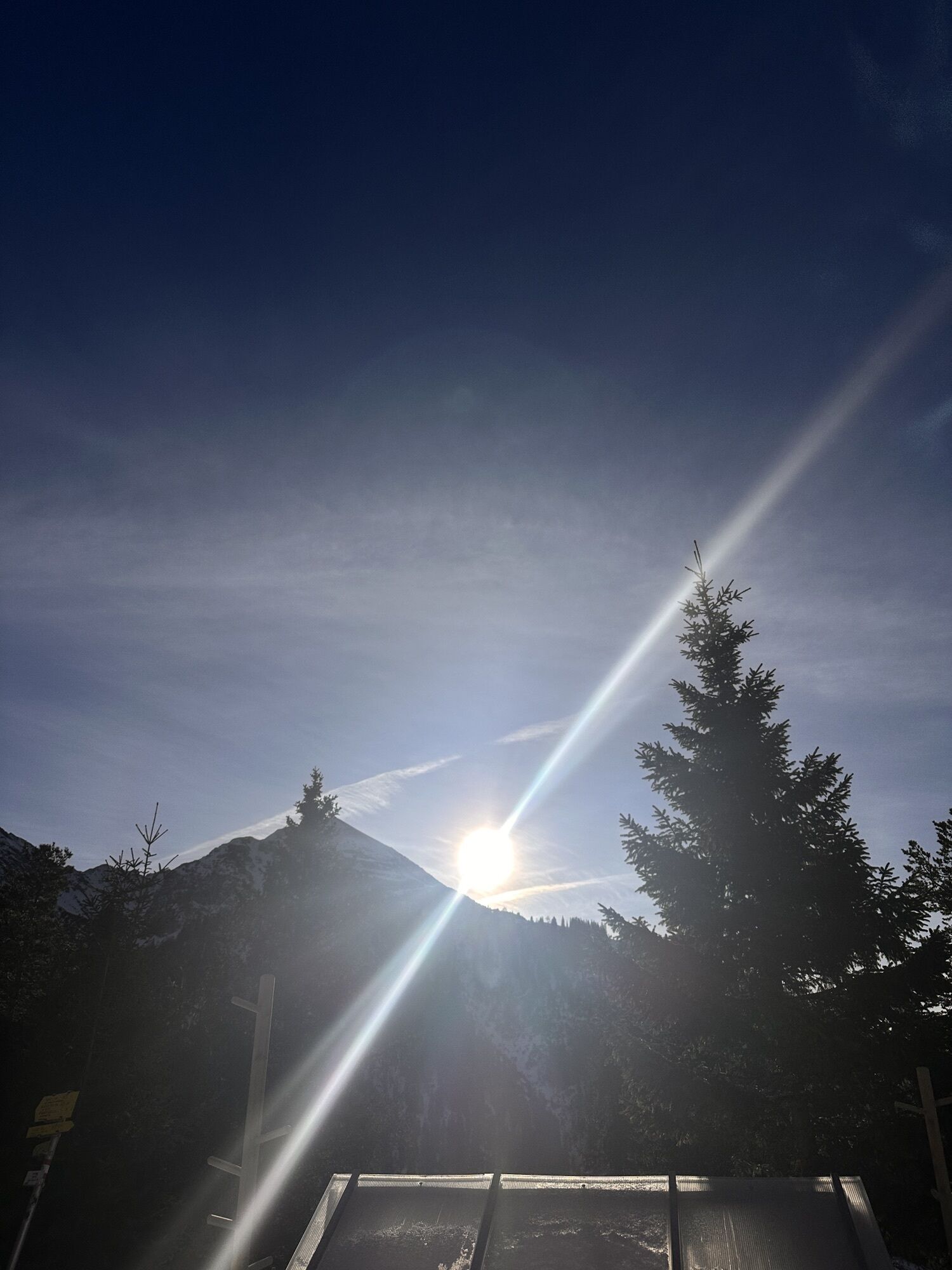
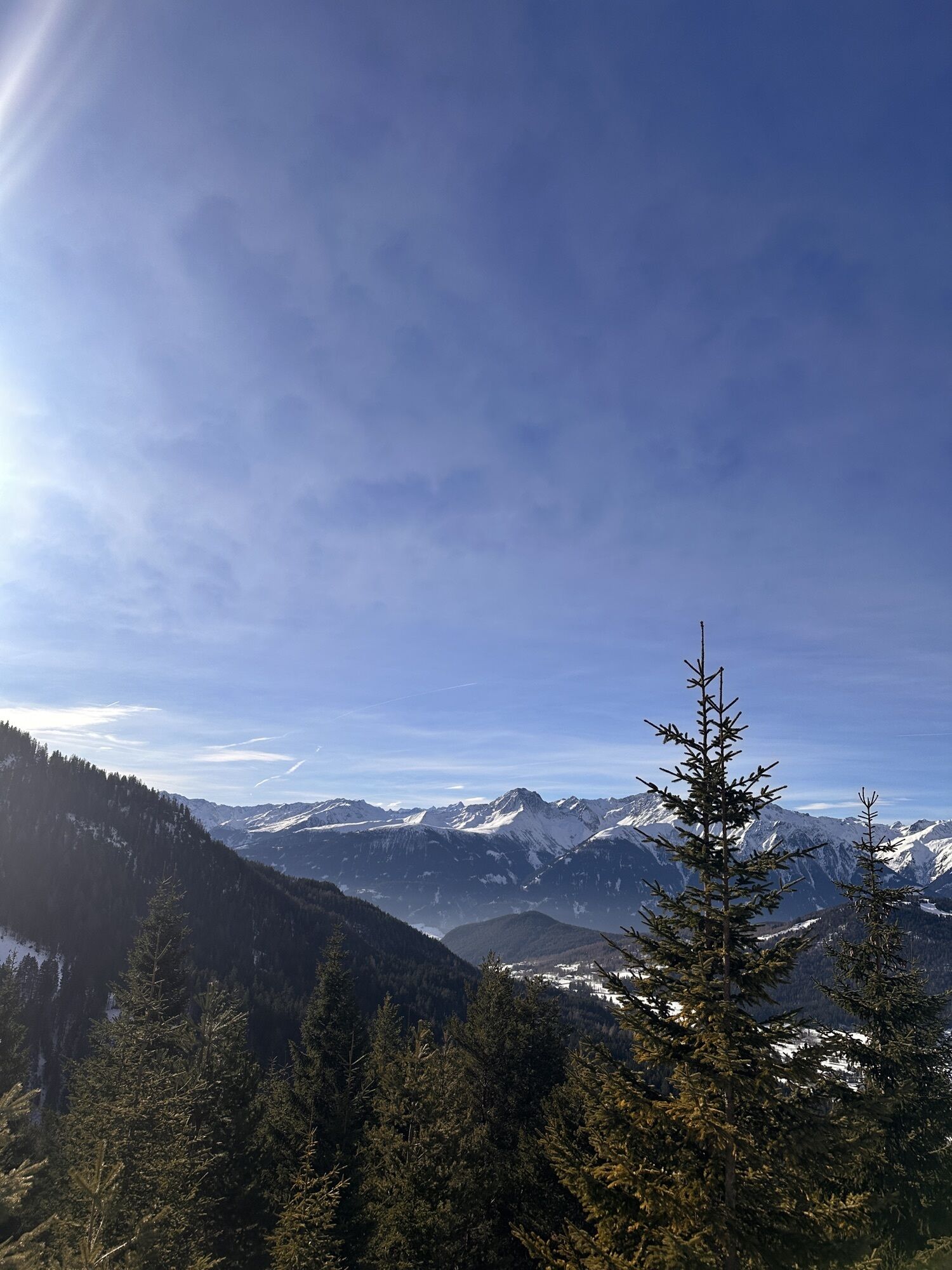
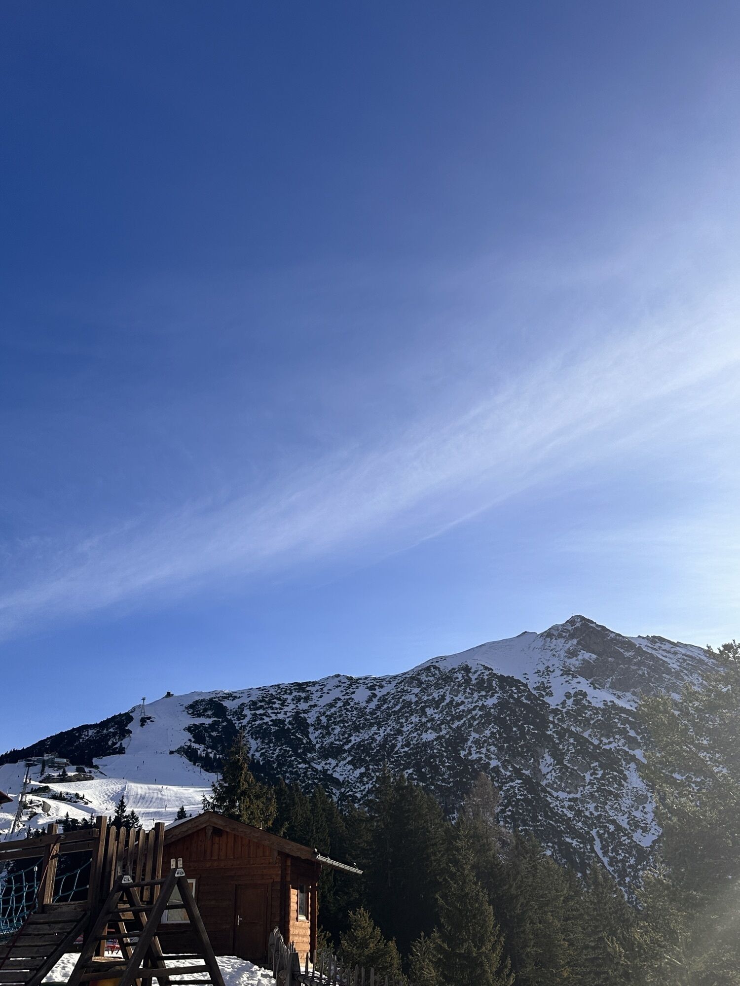
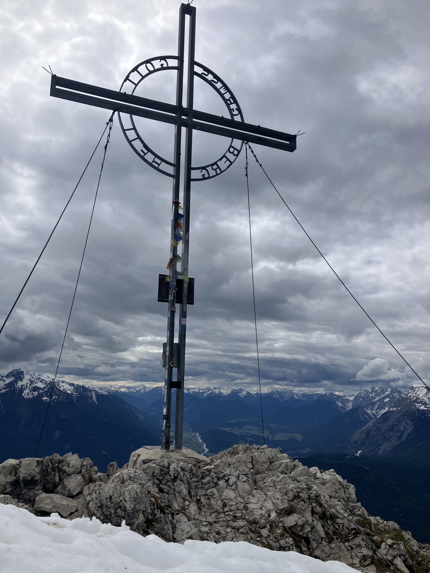
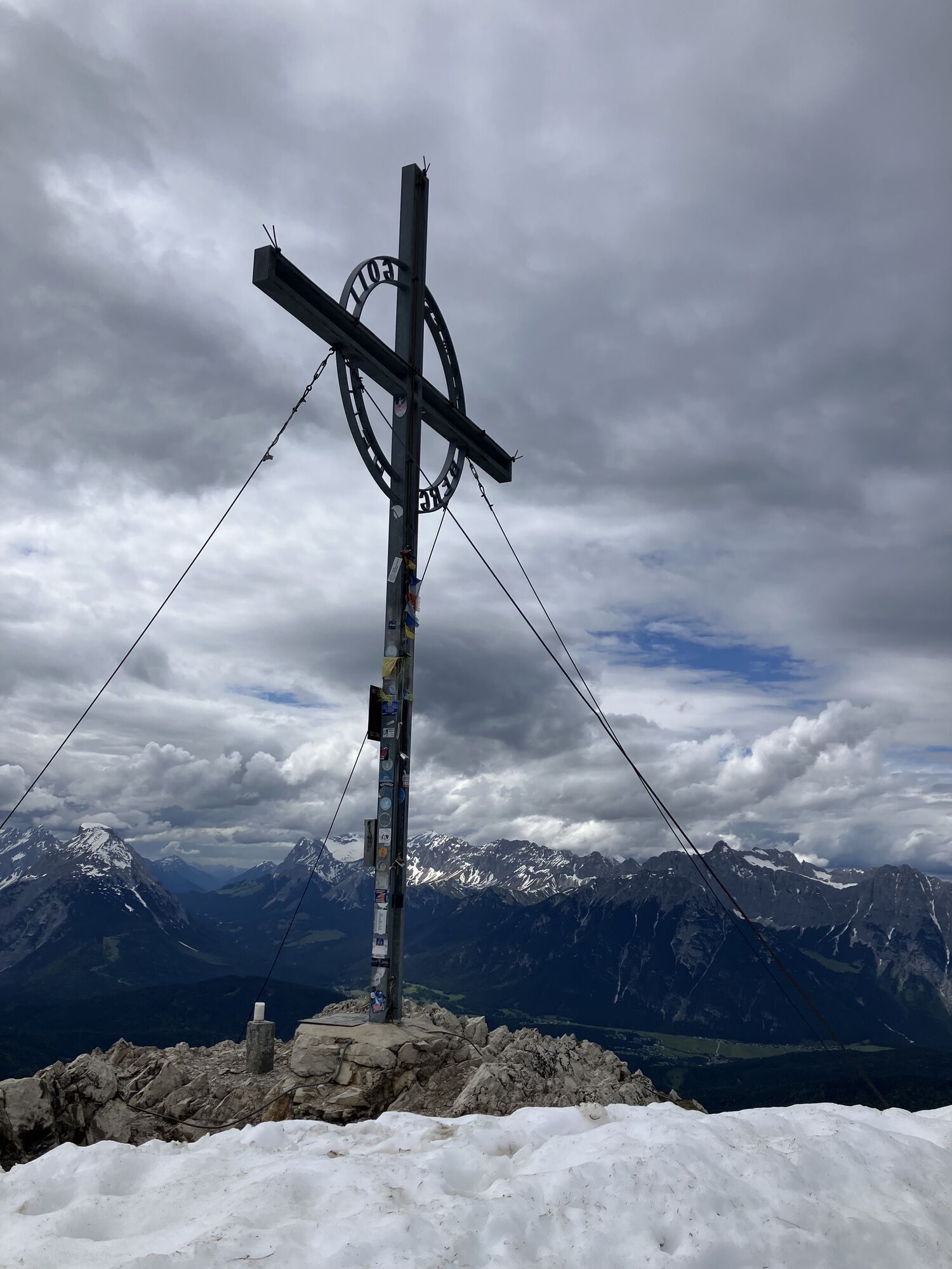
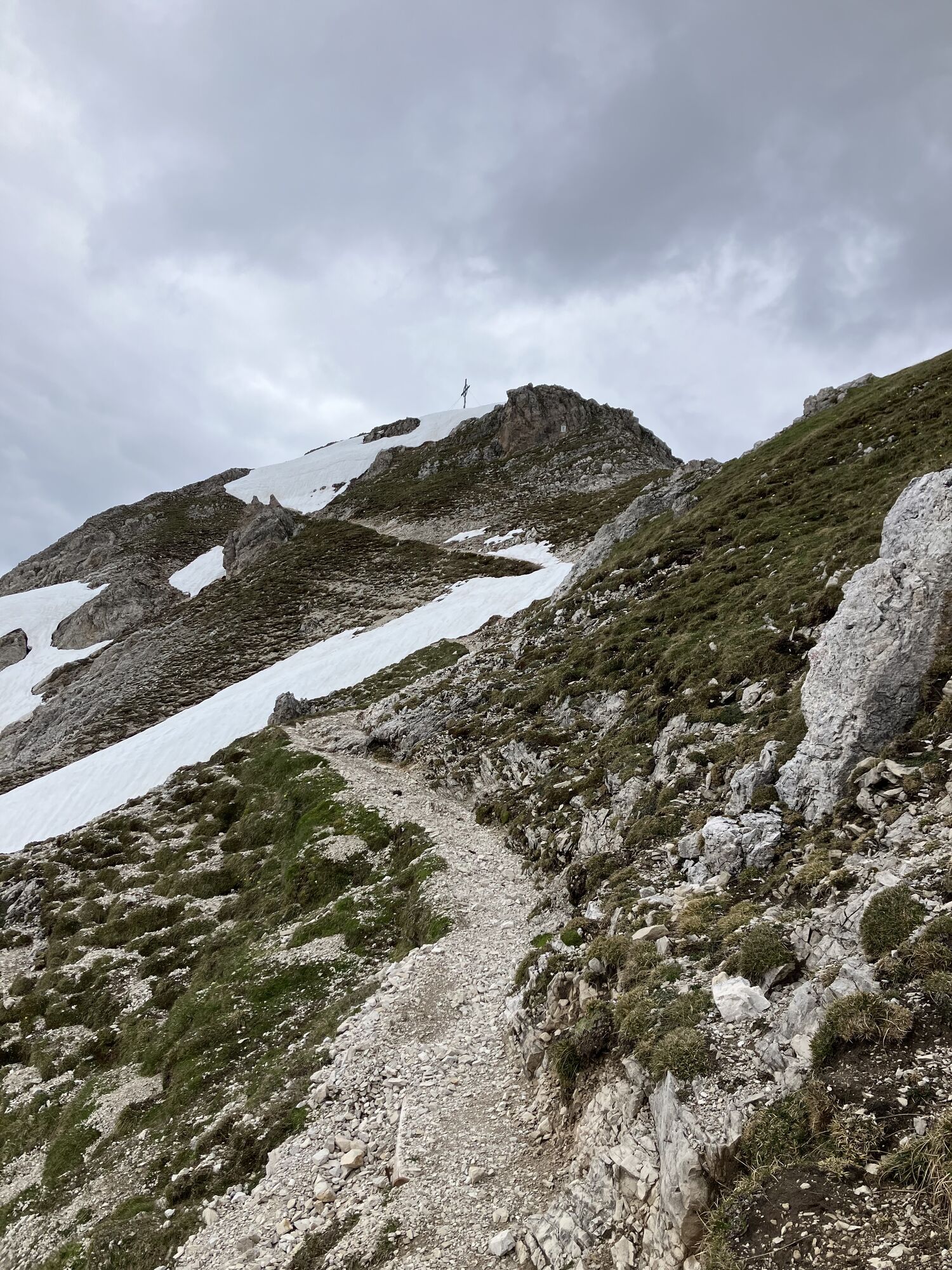
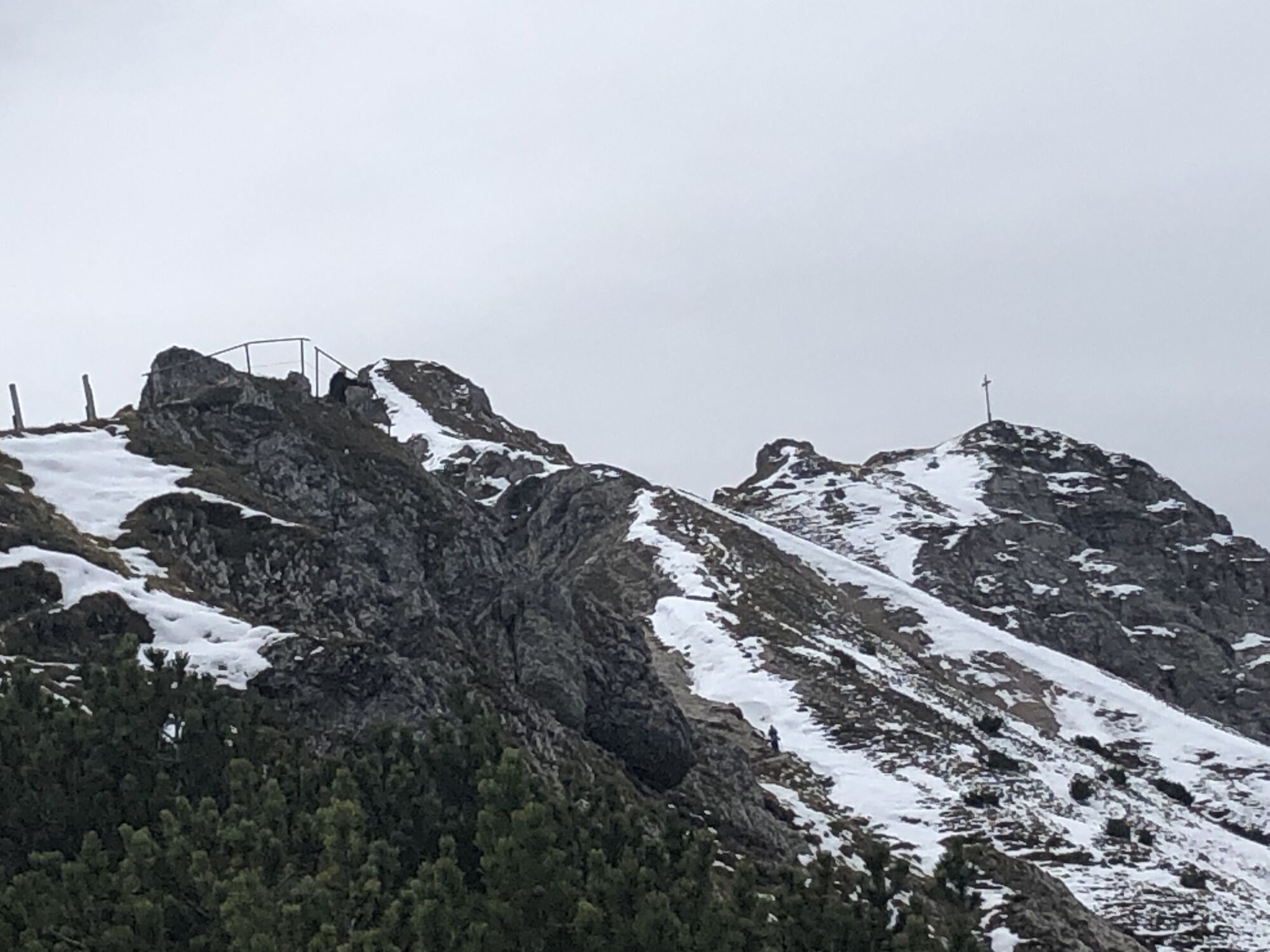
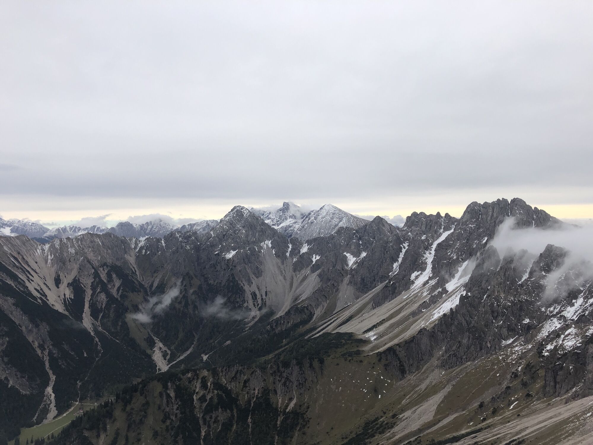
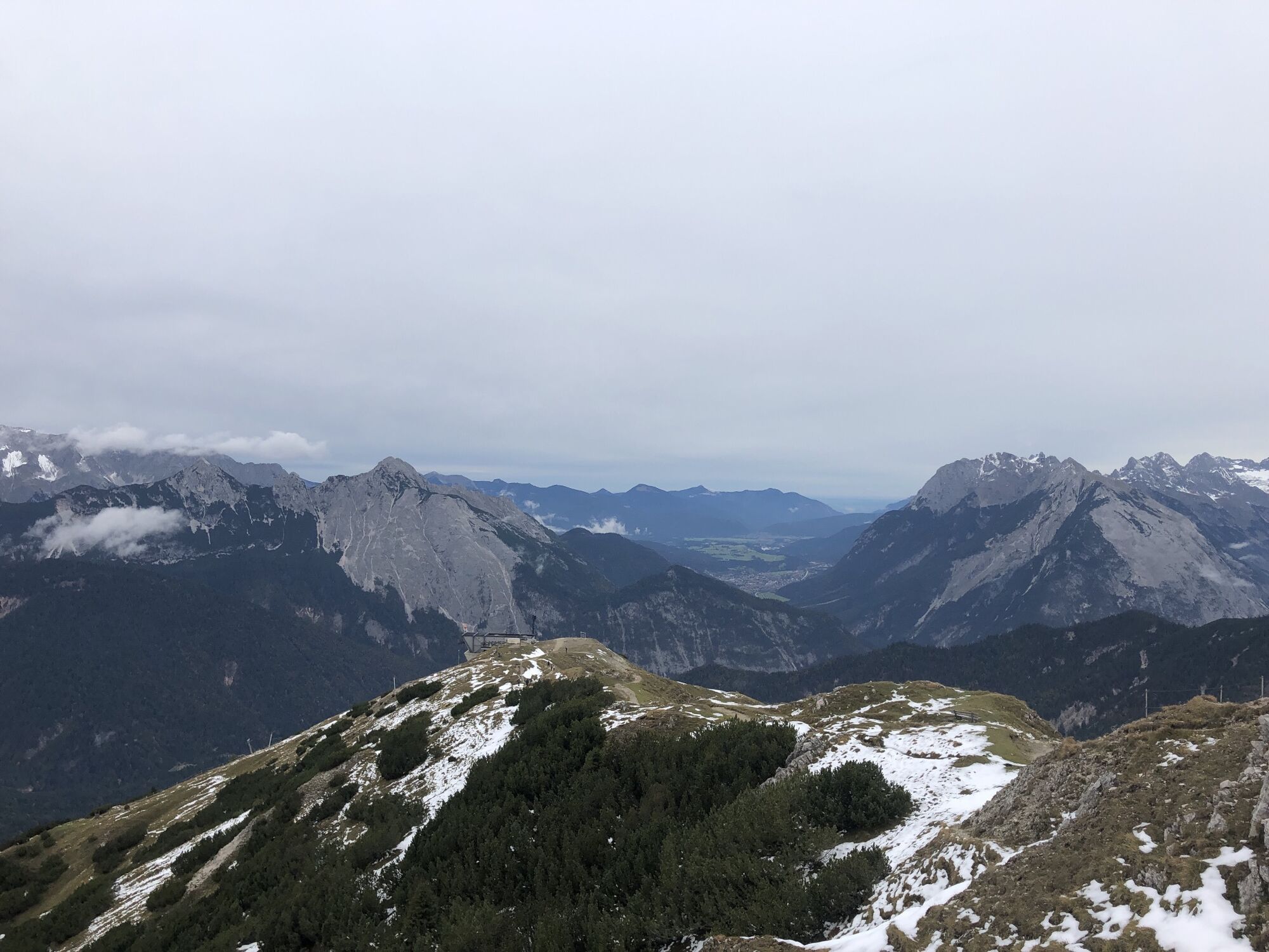
Photos from our users
-
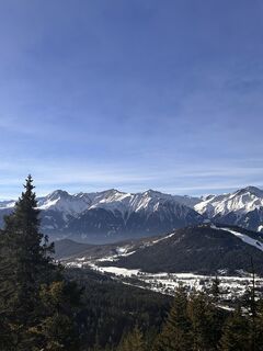
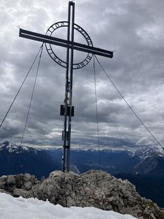
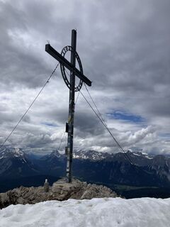
 © Christian schulzeCreated on 24.01.2025
 -
 © Christian schulzeCreated on 24.01.2025
 -
 © Christian schulzeCreated on 24.01.2025
 -
 © Christian schulzeCreated on 24.01.2025
 -
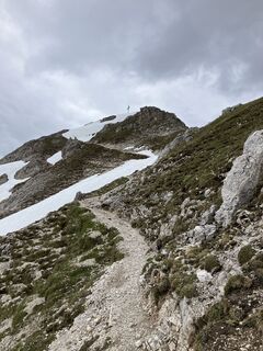
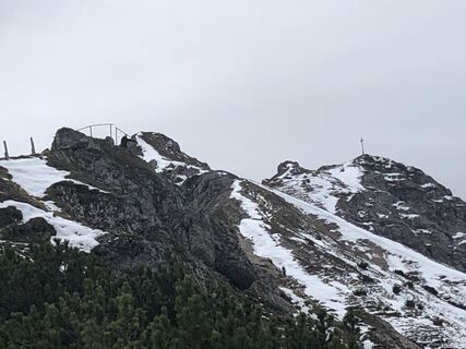
 © NEMO .Created on 29.05.2024
 -
 © NEMO .Created on 29.05.2024
 -
 © NEMO .Created on 29.05.2024
 -
 © NEMO .Created on 29.05.2024
 -
 © Astrid IlligCreated on 01.10.2022
 -
 © Astrid IlligCreated on 01.10.2022
 -
 © Astrid IlligCreated on 01.10.2022
 -
 © Astrid IlligCreated on 01.10.2022
 -
 © Astrid IlligCreated on 01.10.2022


Last tracked
2 weeks ago
No reviews yet
Popular tours in the neighbourhood
-
4.2
"Königstour" über die Gipfel
Hiking 4.52 km -
4.6
Leutaschklamm
lightHiking 4.55 km -
4.9
Gleirschklamm
mediumHiking 15.4 km -
4.3
Große Klammrunde durch die Leutascher Geisterklamm mit Themenweg
mediumThematic route 3.17 km -
5.0
Hallerangerhaus
heavyE-MTB 19.0 km -
4.6
Kranzbergrunde 1 (ab Talstation Sessellift)
lightHiking 11.0 km -
5.0
Reitherspitz
mediumHiking 6.03 km -
5.0
Ehnbachklamm und Kaiser MaxGrotte, Zirl, Tirol/Österreich
heavyHigh tour 6.30 km -
4.8
Seegrube
mediumHiking 4.03 km -
5.0
Wanderung zur Rauthhütte und Zugsptizblick
mediumHiking 6.20 km
Hiking & Tracking

Over 550.000 tour suggestions, detailed maps and an intuitive route planner make the app a must-have for all nature enthusiasts.

Don't miss out on offers and inspiration for your next holiday
Subscribe to the newsletter
Error
An error has occurred. Please try again.
Thank you for your registration
Your e-mail address has been added to the mailing list.
Tours throughout Europe
Austria
Switzerland
Germany
Italy
Slovenia
France
Netherlands
Belgium
Poland
Liechtenstein
Czechia
Slovakia
Spain
Croatia
Bosnia and Herzegovina
Luxembourg
Andorra
Portugal
Iceland
United Kingdom
Ireland
Greece
Albania
North Macedonia
Malta
Norway
Montenegro
Moldova
Kosovo
Hungary
San Marino
Romania
Estonia
Latvia
Belarus
Cyprus
Lithuania
Serbia
Bulgaria
Monaco
Denmark
Sweden
Finland