


Photos from our users
-
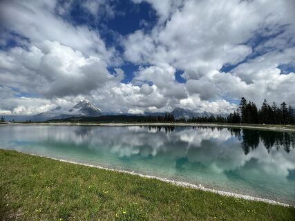
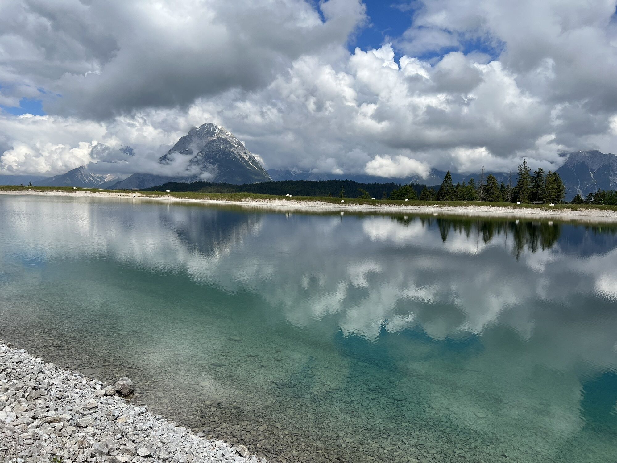
 © Wolfgang ZillichCreated on 11.06.2023
 -
 © Wolfgang ZillichCreated on 11.06.2023
 -
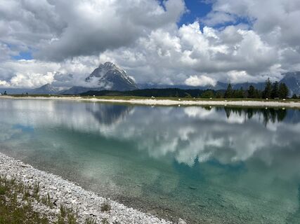
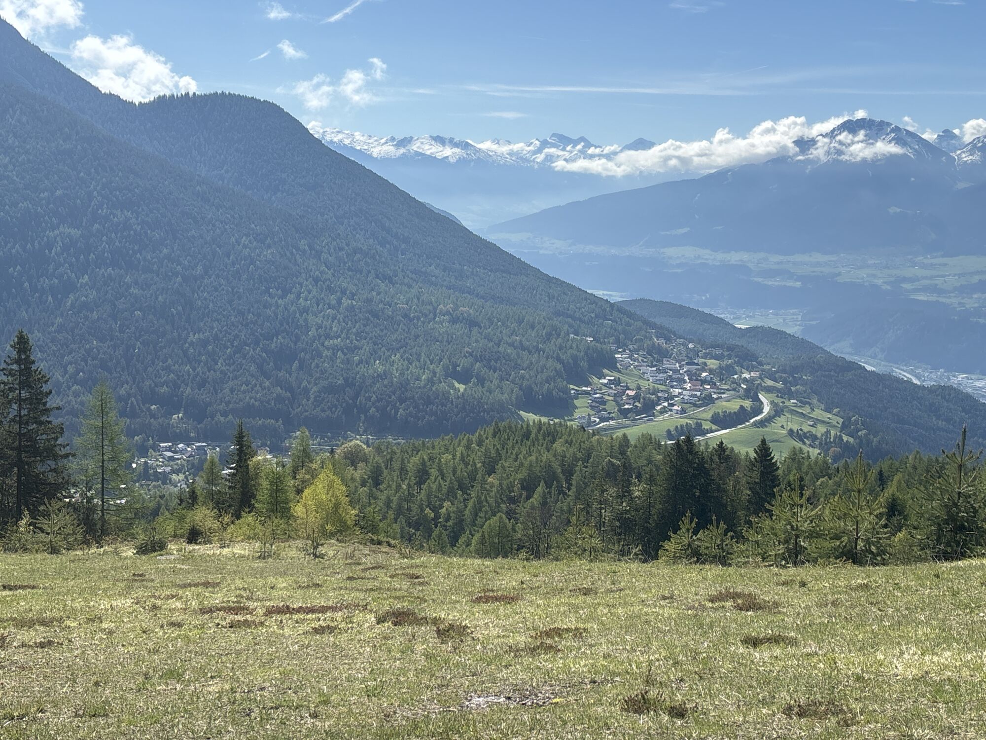
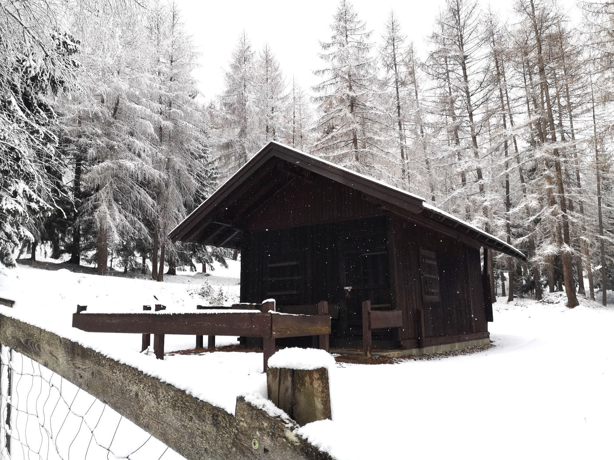
 © Björn BirkeCreated on 10.05.2024
 -
 © Wolfgang ZillichCreated on 11.06.2023
 -
 © Wolfgang ZillichCreated on 11.06.2023
 -
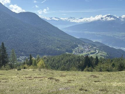
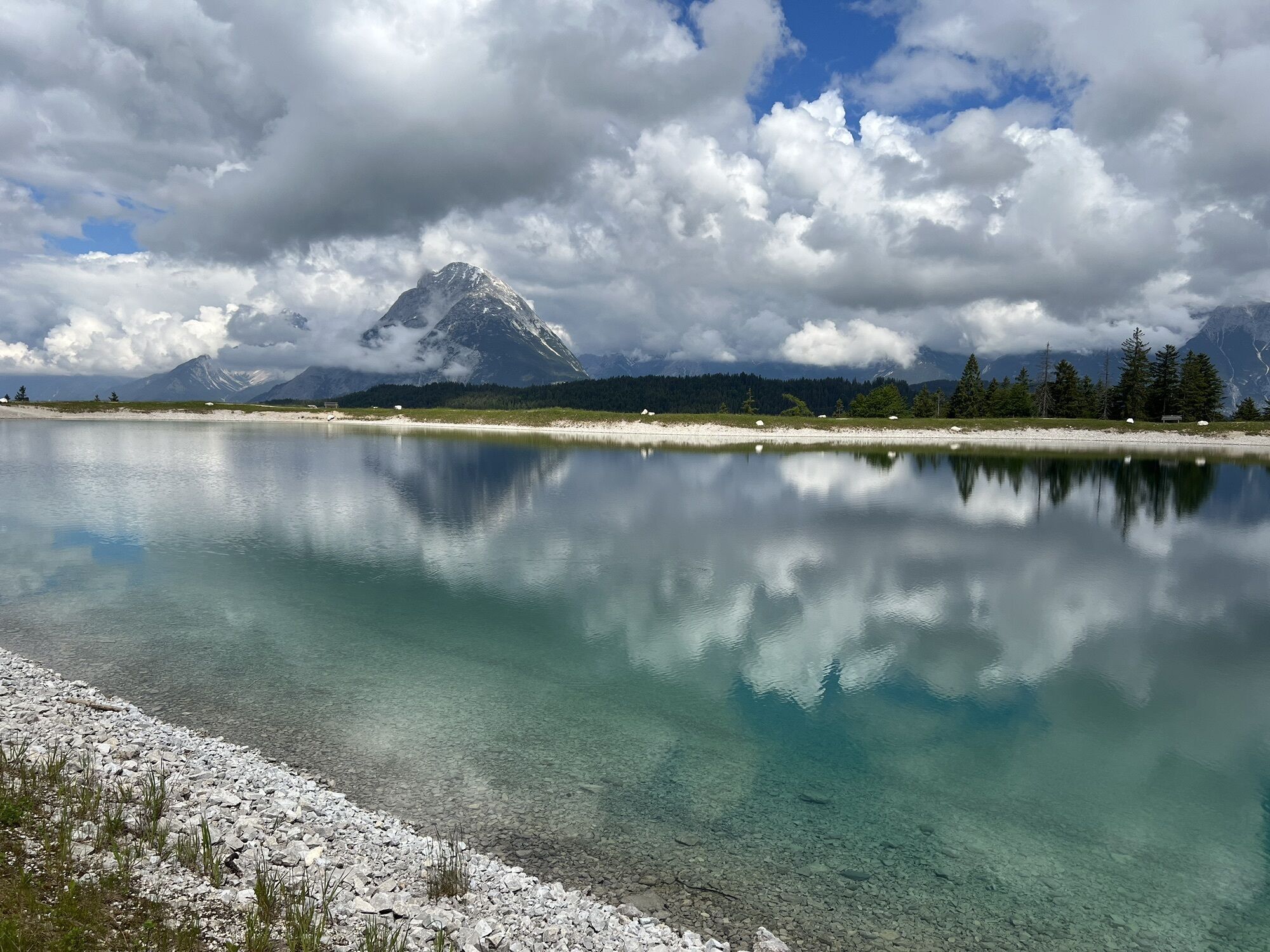
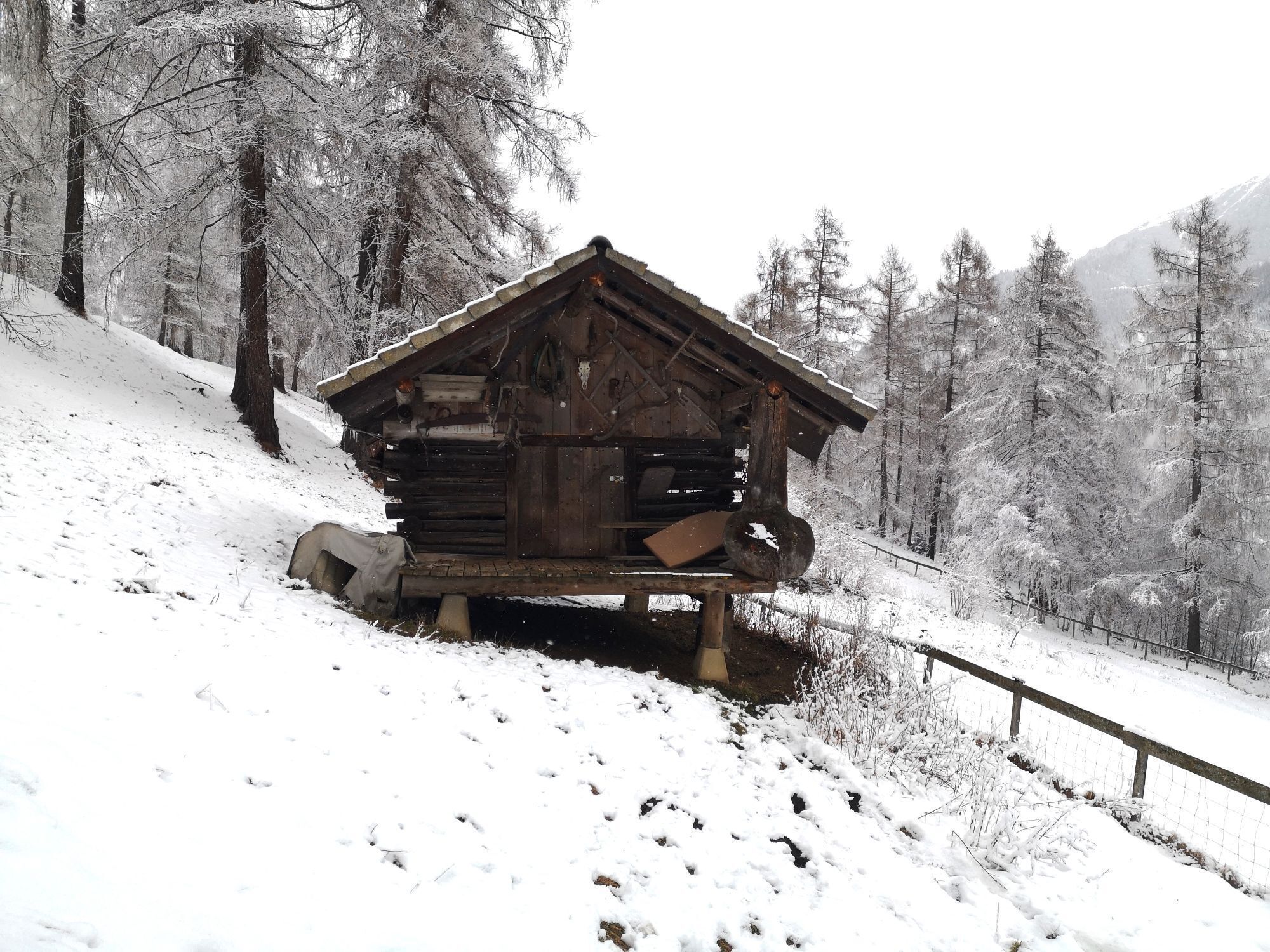
 © Karin PreghenellaCreated on 25.02.2023
 -
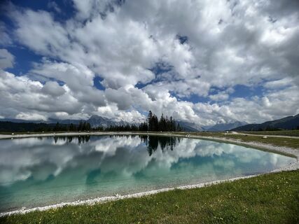
 © Karin PreghenellaCreated on 25.02.2023
 -
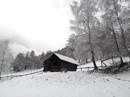
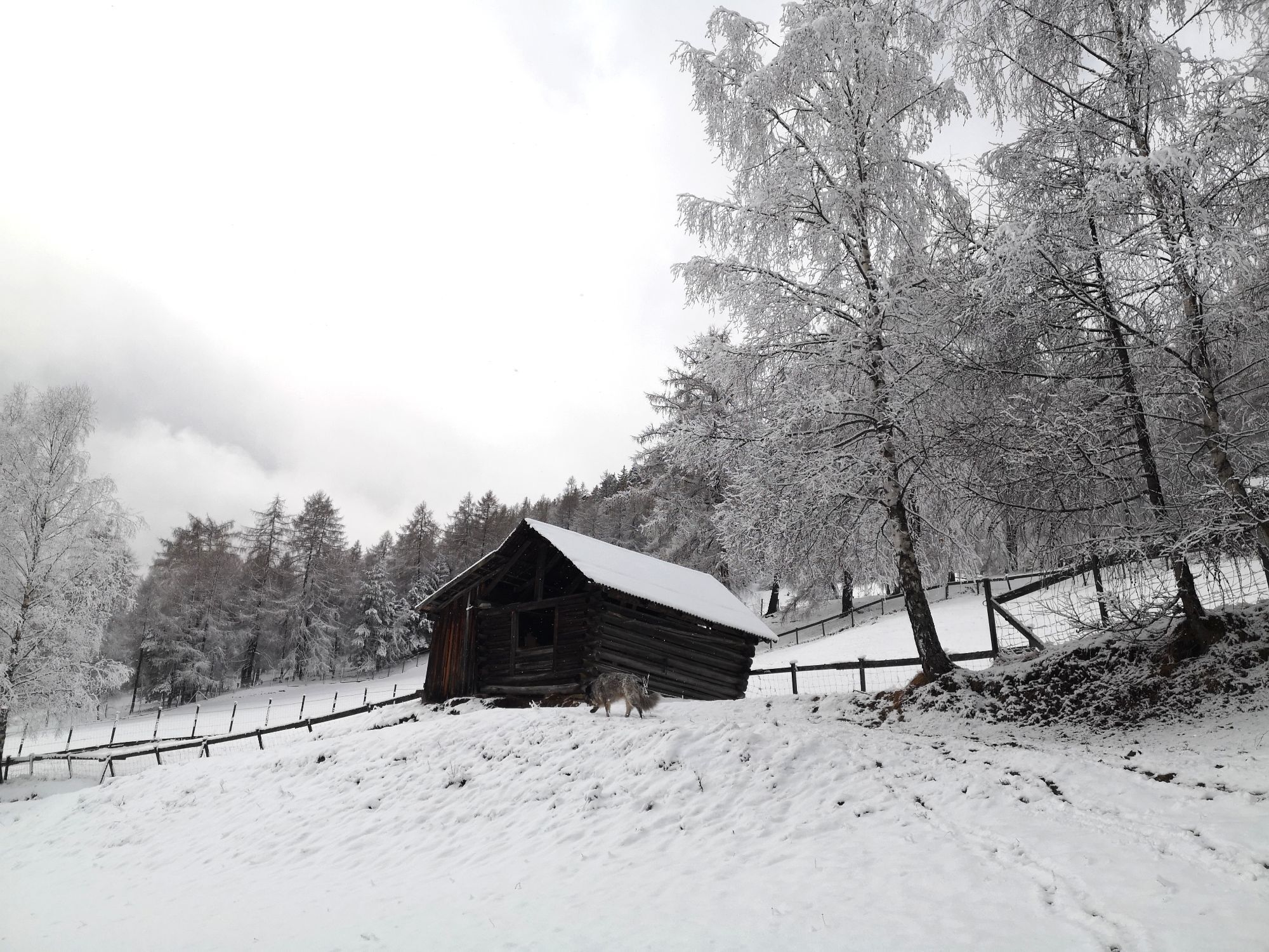
 © Karin PreghenellaCreated on 25.02.2023
 -
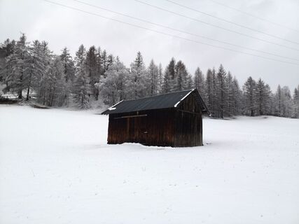
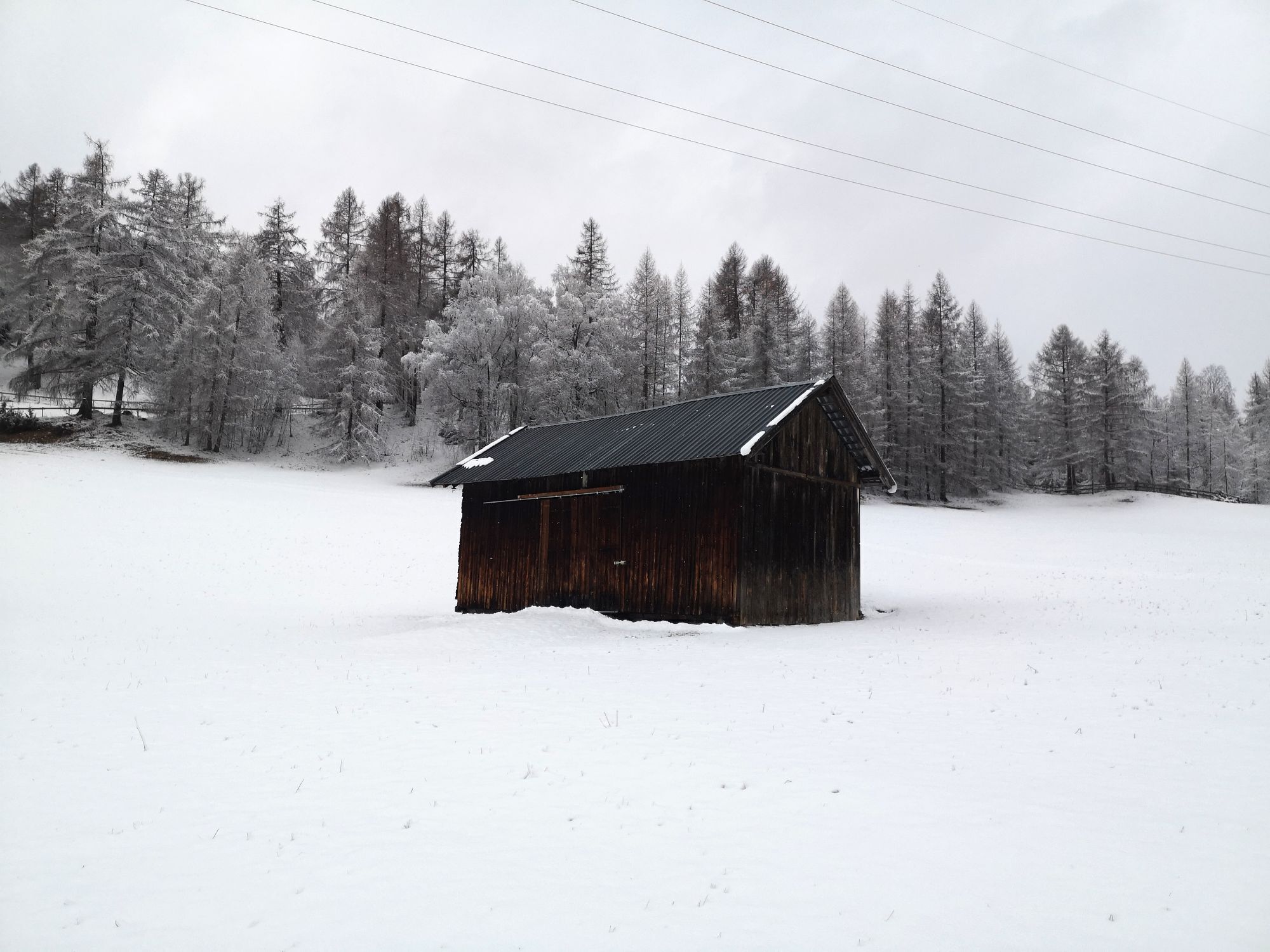
 © Karin PreghenellaCreated on 25.02.2023
 -
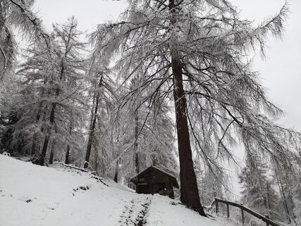
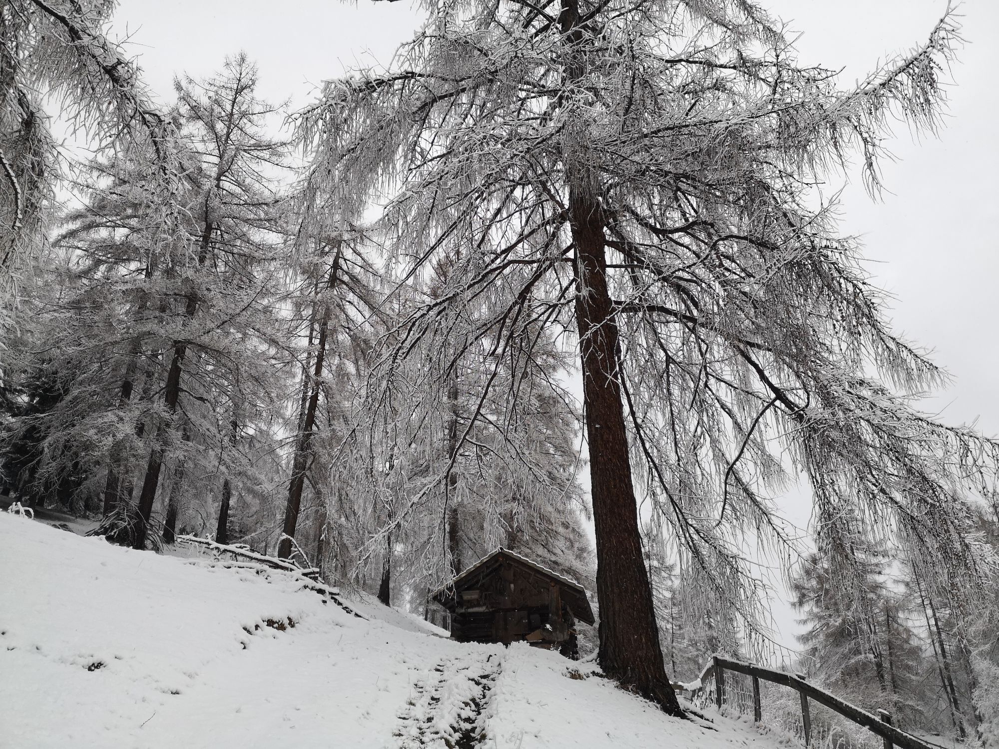
 © Karin PreghenellaCreated on 25.02.2023
 -
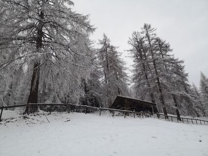
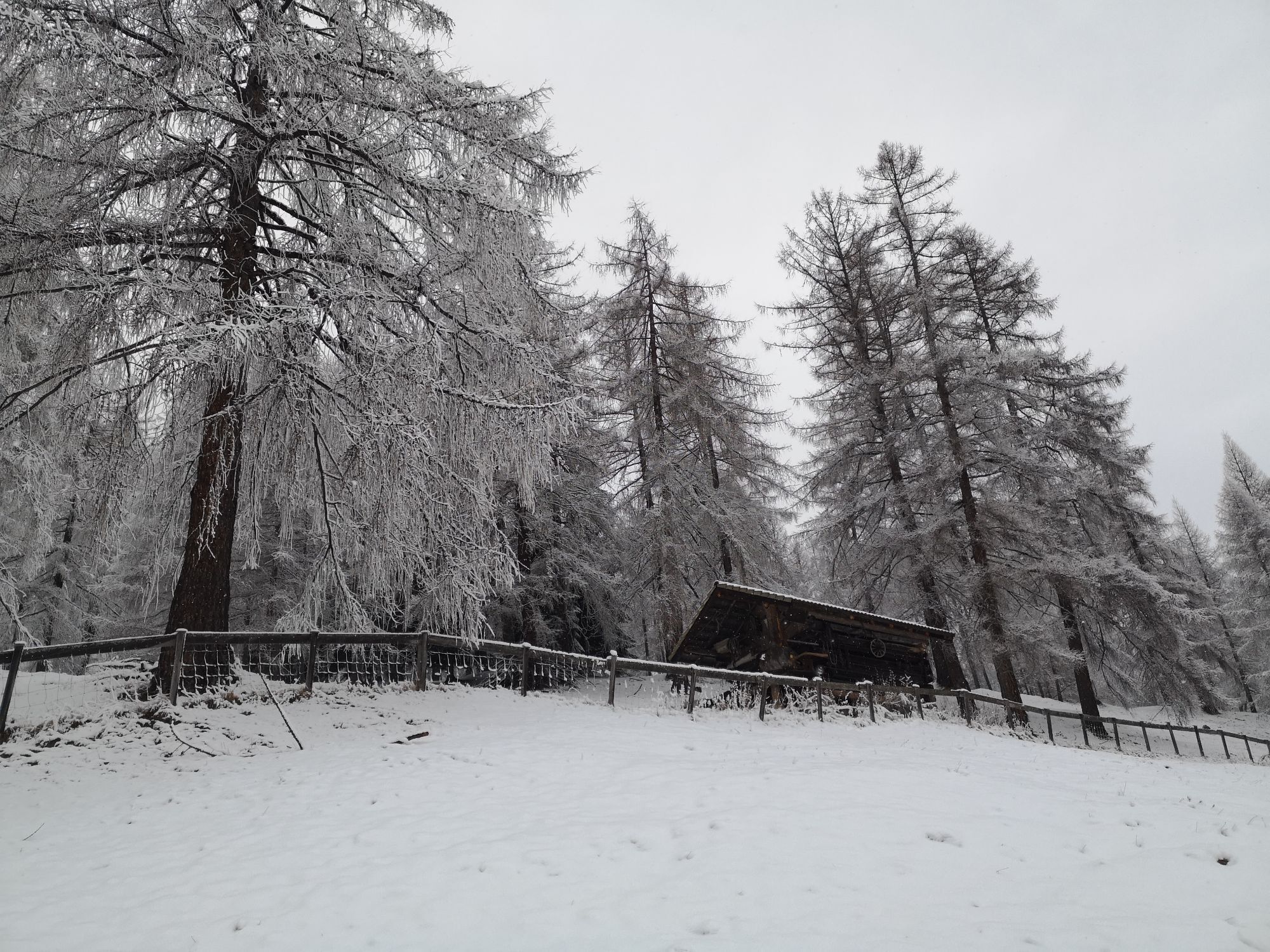
 © Karin PreghenellaCreated on 25.02.2023


Route: Seefeld Zentrum - Kirchwald - Mösern - Gschwandtkopf - Wildsee - Seefeld Zentrum Parkmöglichkeit und öffentliche Anreise: P8 "Apothekenparkplatz" und zahlreiche weitere Parkmöglichkeiten. Mit...
Route: Seefeld Zentrum - Kirchwald - Mösern - Gschwandtkopf - Wildsee - Seefeld Zentrum
Parkmöglichkeit und öffentliche Anreise:
P8 "Apothekenparkplatz" und zahlreiche weitere Parkmöglichkeiten.
Mit der Bahn bis Bahnhof Seefeld.
Alle Verbindungen in Echtzeit finden Sie mit der Wegfinder App Seefeld.
Wegbeschreibung:
Vom Zentrum Seefelds durch den Kirchwald nach Mösern (Nr. 2). Auf der Höhe von Mösern bei der Kapelle die Straße überqueren. Links Wegweiser Gschwandtkopf. Zuerst Weg Nr. 4, in 10 Min. Weggabelung, Weg Nr. 85 weiter auf den Gschwandtkopf mit Einkehrmöglichkeit in der Sonnenalm oder Edelhütte. Nach der Einkehr den Wanderweg Richtung Wildsee folgen und entlang des Sees zurück zum Ausgangspunkt.
Sonnenalm, Edelhütte
Seefeld Zentrum
Mit der Bahn bis Bahnhof Seefeld
Apothekenparkplatz
Popular tours in the neighbourhood
-
4.5
Garmisch/ Reintal/ Zugspitze
mediumHiking 26.7 km -
4.2
"Königstour" über die Gipfel
Hiking 4.52 km -
4.6
Leutaschklamm
lightHiking 4.55 km -
5.0
Bike & Hike Seebensee & Drachensee
mediumMountainbike 15.6 km -
4.7
Zugspitze via Reintal
heavyMountain hiking 21.6 km -
4.9
Gleirschklamm
mediumHiking 15.4 km -
4.2
Große Klammrunde durch die Leutascher Geisterklamm mit Themenweg
mediumThematic route 3.17 km -
4.6
Kranzbergrunde 1 (ab Talstation Sessellift)
lightHiking 11.0 km -
5.0
Reitherspitz
mediumHiking 6.03 km -
5.0
Wanderung zur Rauthhütte und Zugsptizblick
mediumHiking 6.20 km
Hiking & Tracking


Don't miss out on offers and inspiration for your next holiday
Your e-mail address has been added to the mailing list.