


Photos from our users
 © Mathias Schmid 2Created on 14.07.2024
 © Mathias Schmid 2Created on 14.07.2024
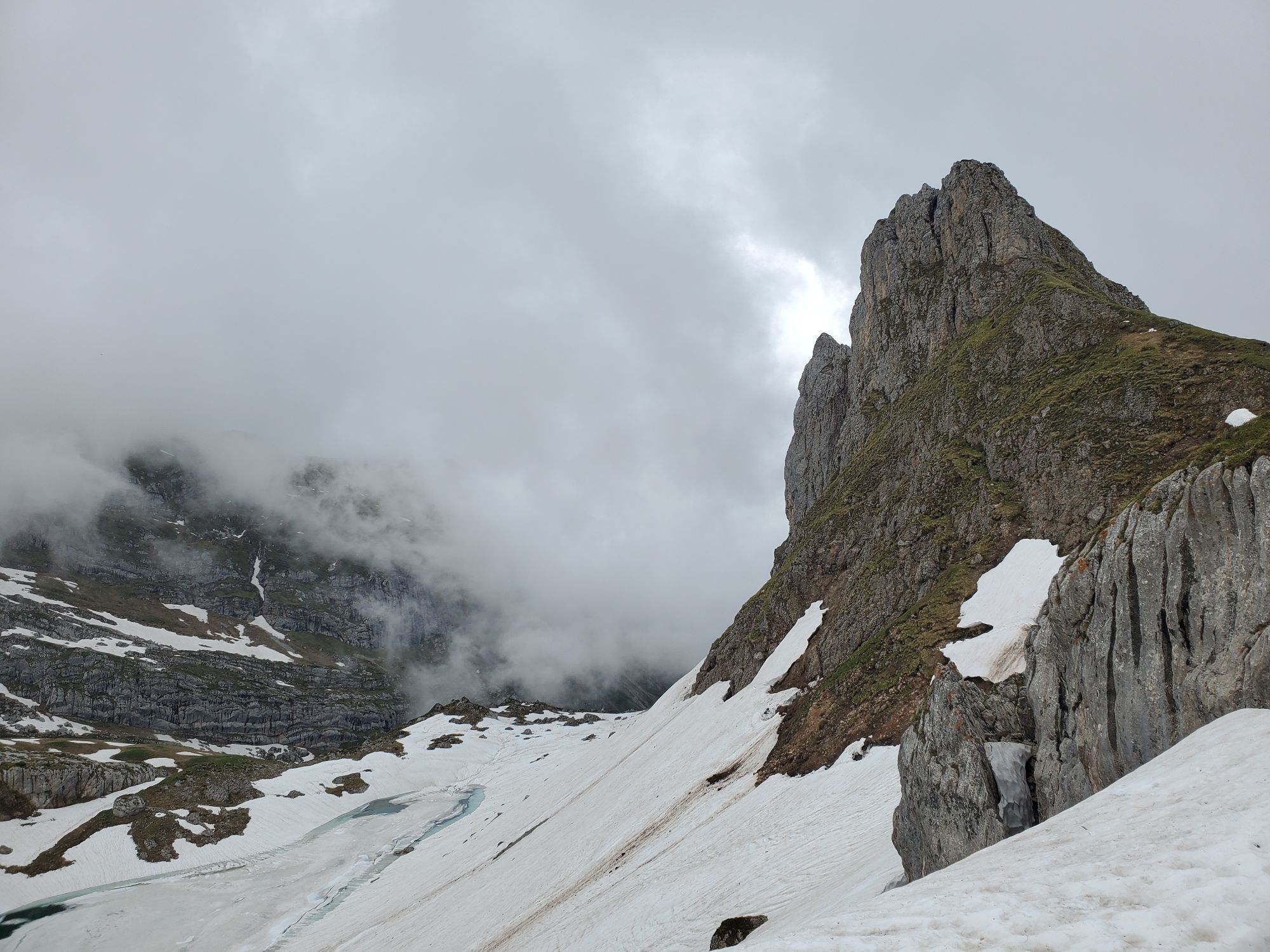
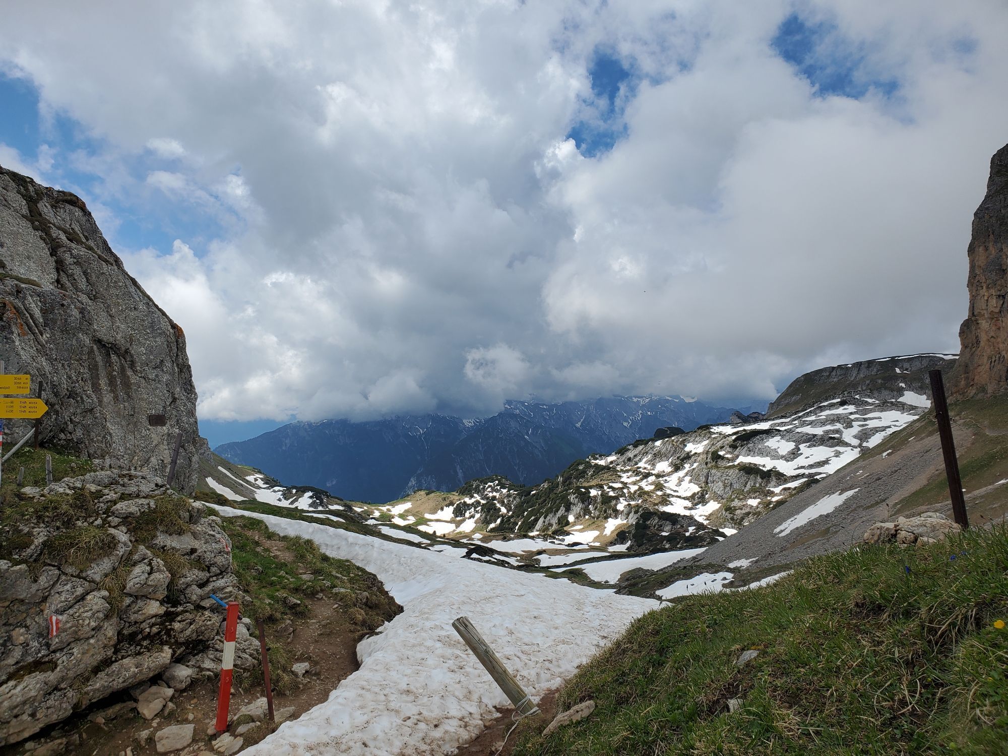
 © Susann BraunCreated on 05.06.2024
 © Susann BraunCreated on 05.06.2024
 © Susann BraunCreated on 05.06.2024
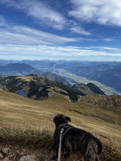
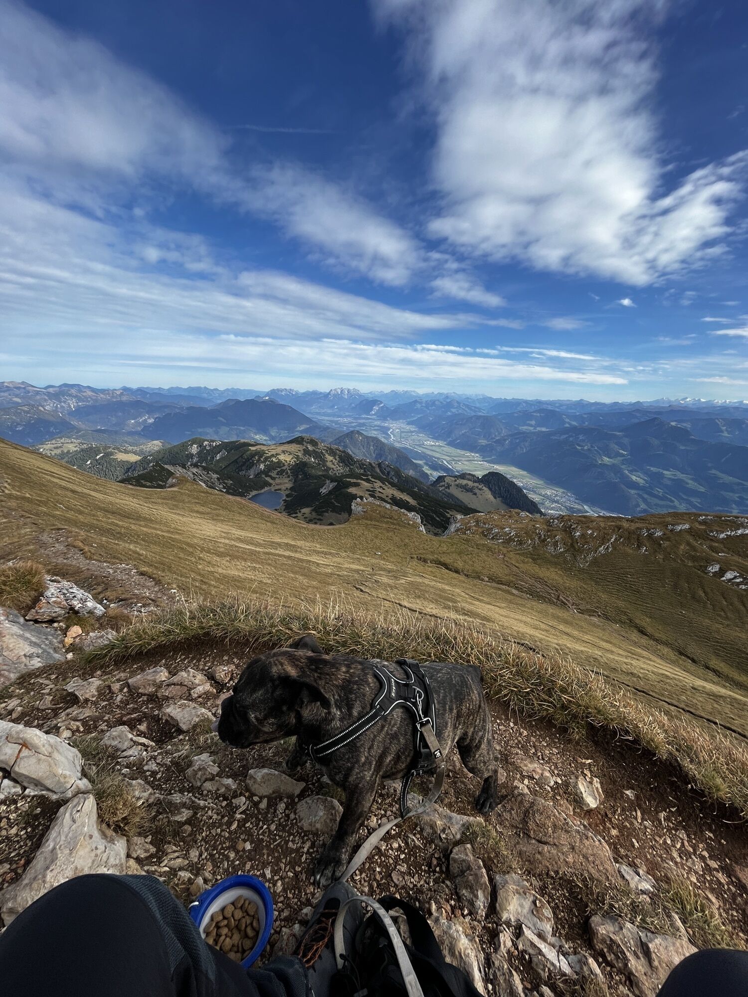
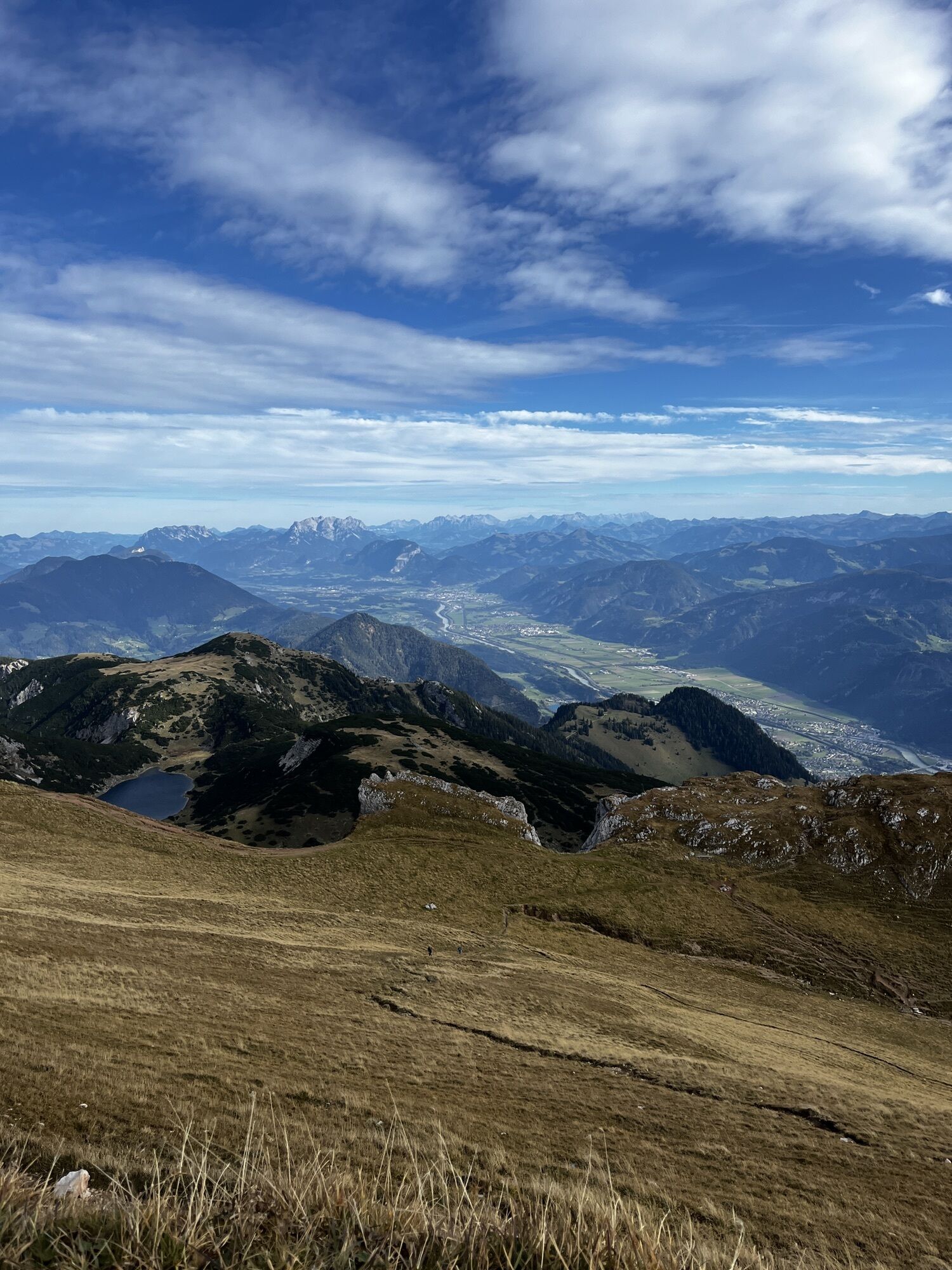
 © Philipp Eberharter 1Created on 23.10.2023
 © Philipp Eberharter 1Created on 23.10.2023
 © Philipp Eberharter 1Created on 23.10.2023
 © Philipp Eberharter 1Created on 23.10.2023
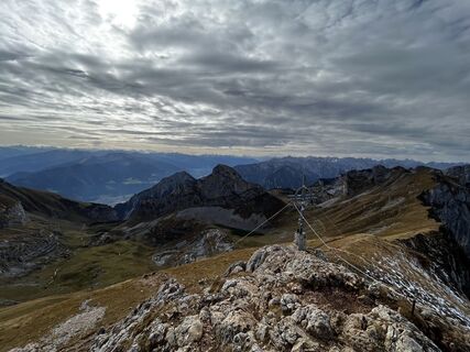 © Philipp Eberharter 1Created on 23.10.2023
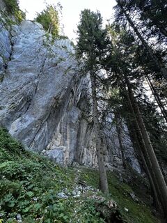 © Moz20Created on 15.07.2023
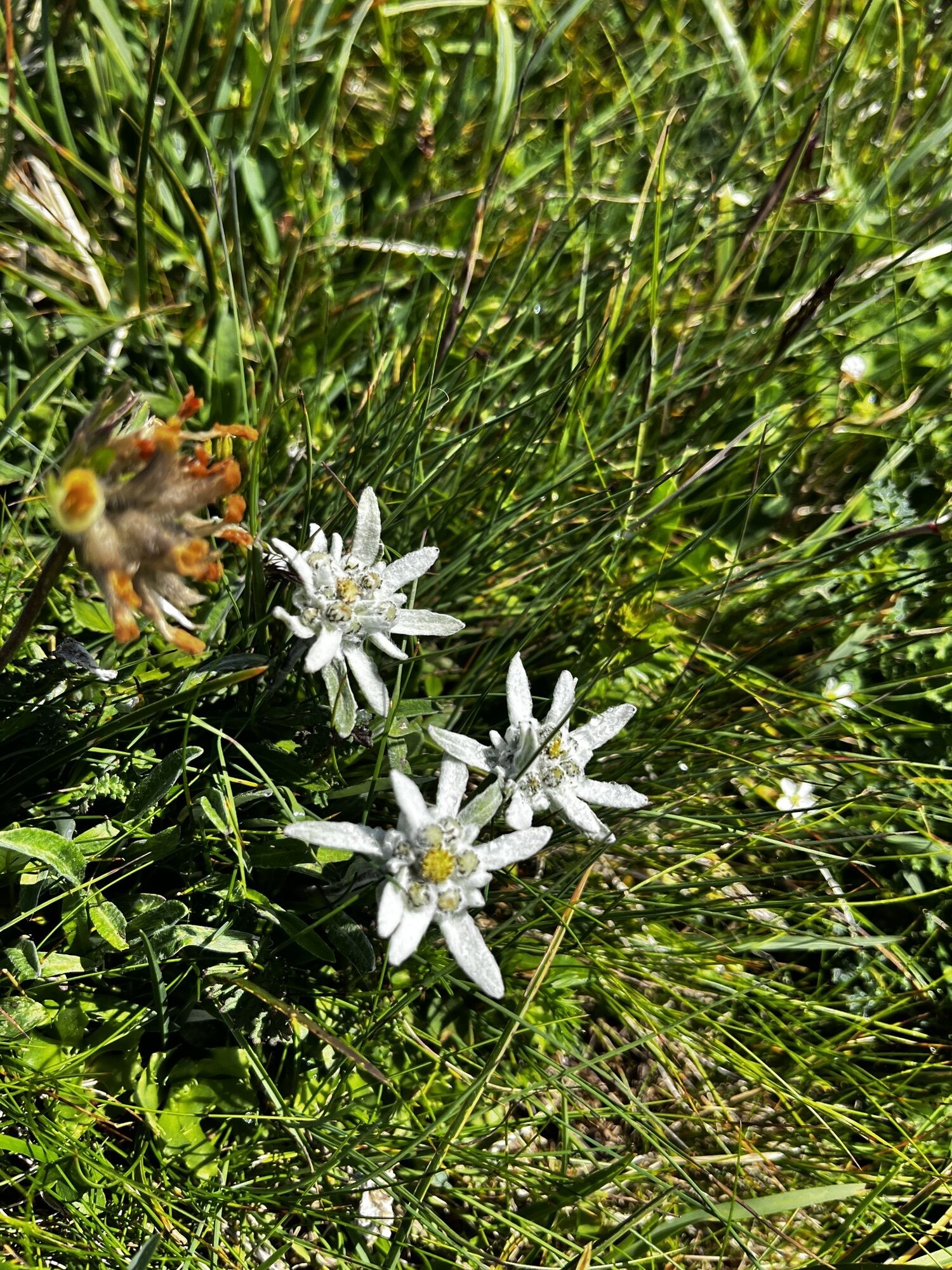


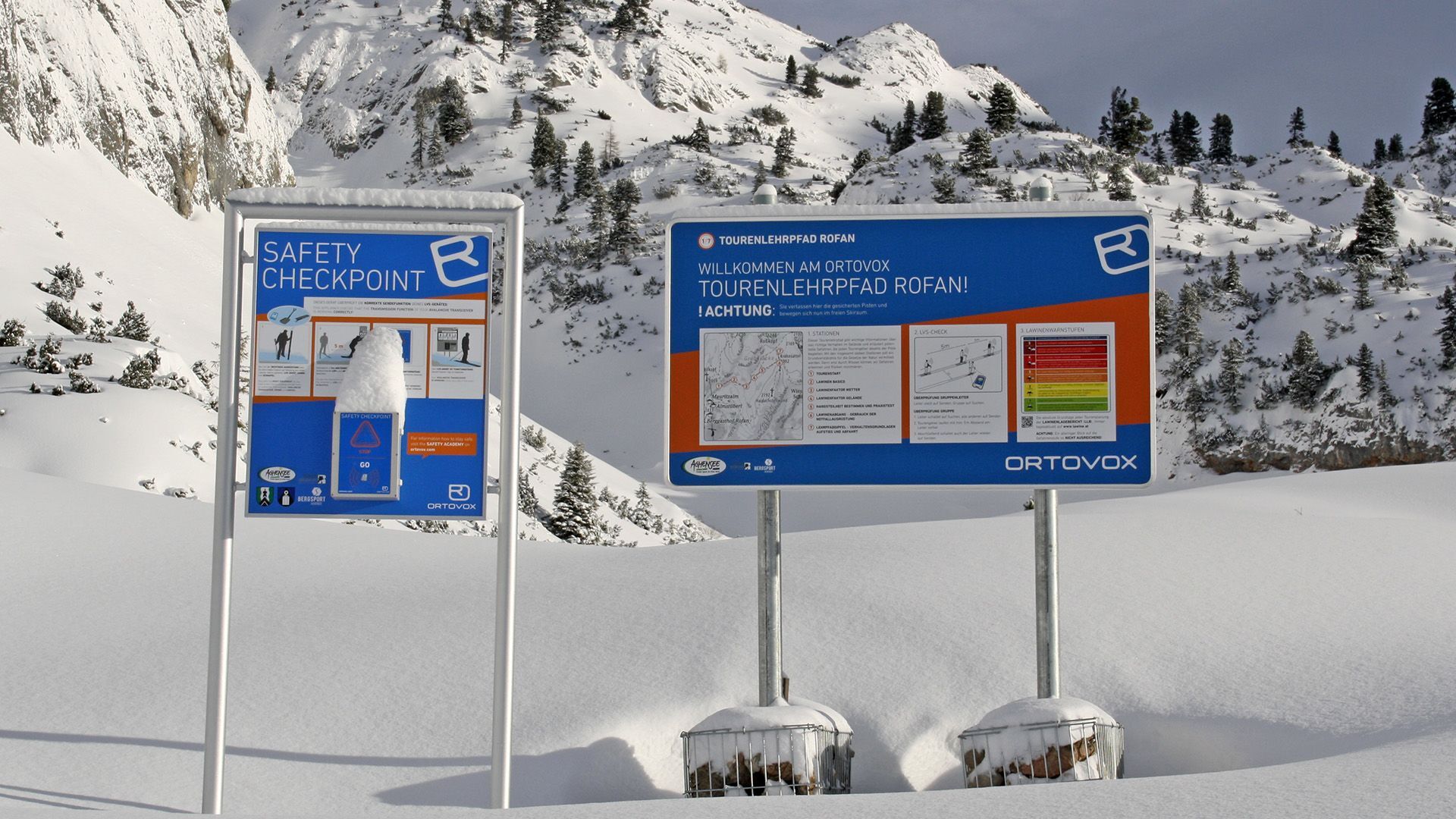
Aufstieg: Von der Bergstation über die Piste zur Mauritzalm, dann abwärts zum Start des Ortovox Tourenlehrpfad Rofan (LVS-Checkpoint) und nach einem breiten Graben (Seekarlrinne, Tafel Nr. 2) im gestuften...
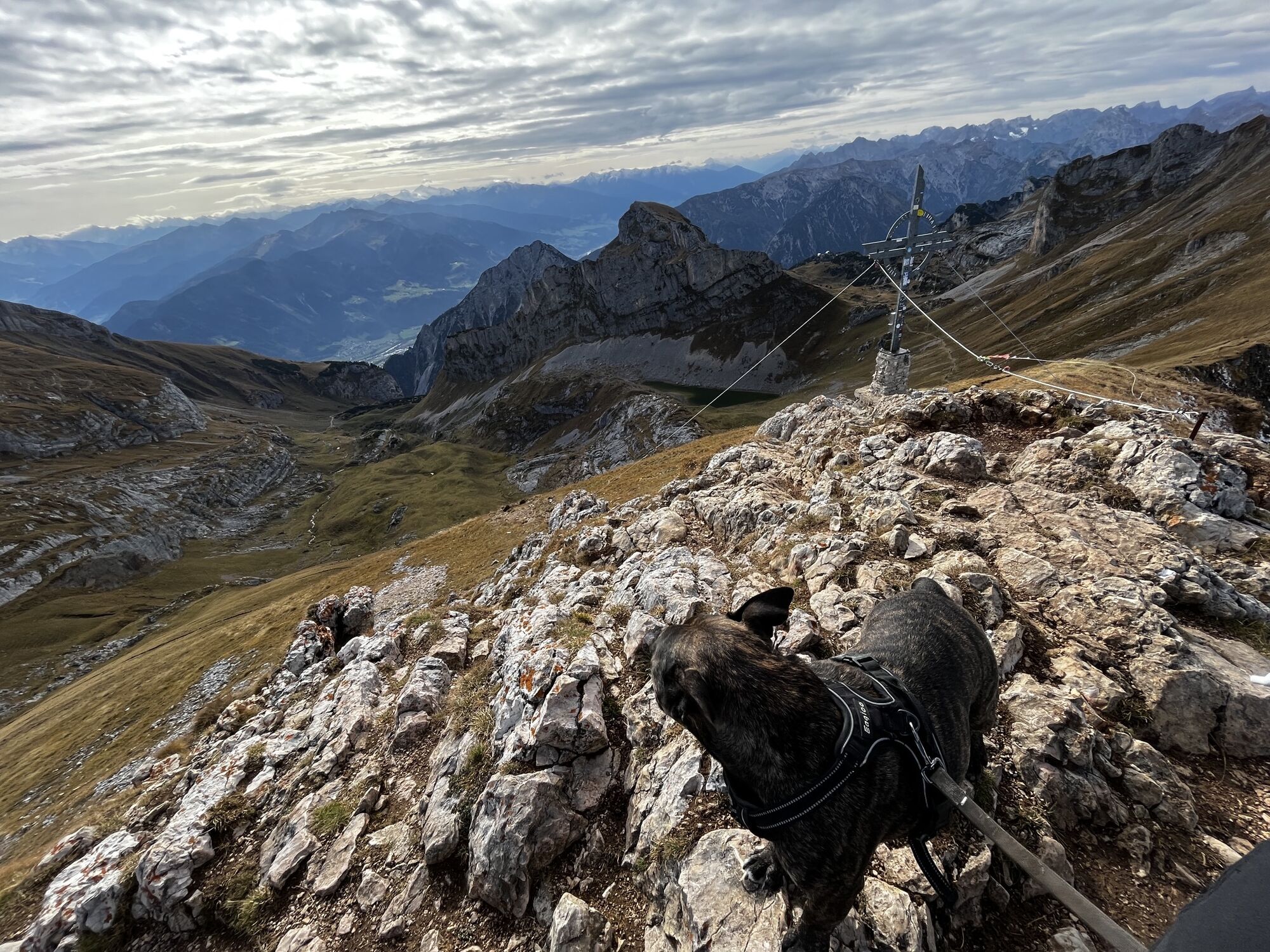
Von der Bergstation über die Piste zur Mauritzalm, dann abwärts zum Start des Ortovox Tourenlehrpfad Rofan (LVS-Checkpoint) und nach einem breiten Graben (Seekarlrinne, Tafel Nr. 2) im gestuften Gelände auf dem Sommerweg gegen Osten auf die Haidachstellwand zu gehen. Über die Grubastiege und einer kurzen steilen Engstelle auf die Hochfläche. An der Haidachstellwand vorbei zur Grubascharte - von dort aus steil, quer aufsteigen Richtung Osten zum Gipfel.
Abfahrt: Entlang der Aufstiegsroute
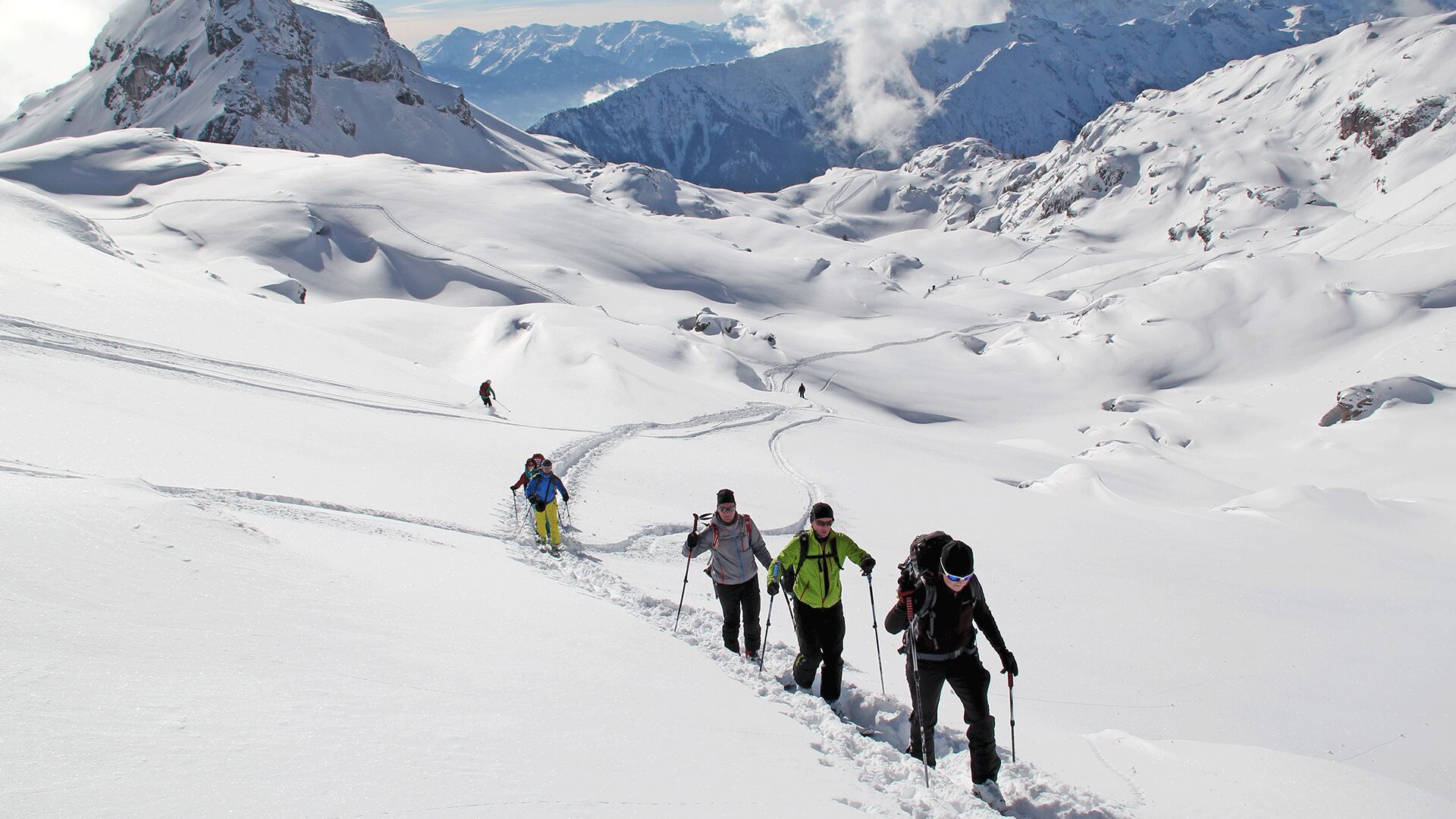
Wiesingabfahrt: Vom Gipfel 30 Grad steile Hänge in die ausgedehnte Mulde zwischen Sagzahn und Gruba Lackenspitze - nun in einem engen Grund - zur Schermsteinalm. Nachfolgend links über eine Steilstufe in das Wiesengelände der Alpbühelalm hinab. Anschließend entlang des Forstweges nach Wiesing (Astenberg). Durch die Rofansiedlung zur Bushaltestelle "Rofansiedlung", die etwas unterhalb der Ortschaft bei der Straßenbrücke liegt.
Mit dem Bus zurück zum Parkplatz der Rofan Seilbahn.
Popular tours in the neighbourhood
- 4,5
Achensee-Umrundung
mediumHiking23,3 km - 4,5
Wandern zum Bärenkopf
mediumHiking10,9 km - 4,7
Uferweg von Pertisau zur Gaissalm am Achensee, Österreich
mediumHiking5,16 km - 4,6
Gütenberg und Feilkopf
lightHiking10,4 km - 4,5
Wolfsklamm über Maria Tax
mediumHiking5,50 km - 4,9
Achensee - Erfurter Hütte
mediumHiking9,24 km - 4,4
Den Panoramaweg um das Wiedersbergerhorn
Hiking3,40 km - 4,8
Hochiss und Gschöllkopf mit Rofanbahn
mediumHiking6,40 km - 4,1
Kellerjoch Hütte - Knappenkapelle
mediumHiking6,70 km - 4,8
Bergstation Rofan Seilbahn - Dalfaz Alm - Bergstation Rofan Seilbahn
lightHiking4,94 km
Hiking & Tracking


Don't miss out on offers and inspiration for your next holiday
Your e-mail address has been added to the mailing list.