


The Pfannspitze is located south-east of the Obstanser See hut (2304 m) and is one of the rarely done ski tours on the Carnic ridge. The starting point is the village of Kartitsch in the Tyrolean Gailtal...
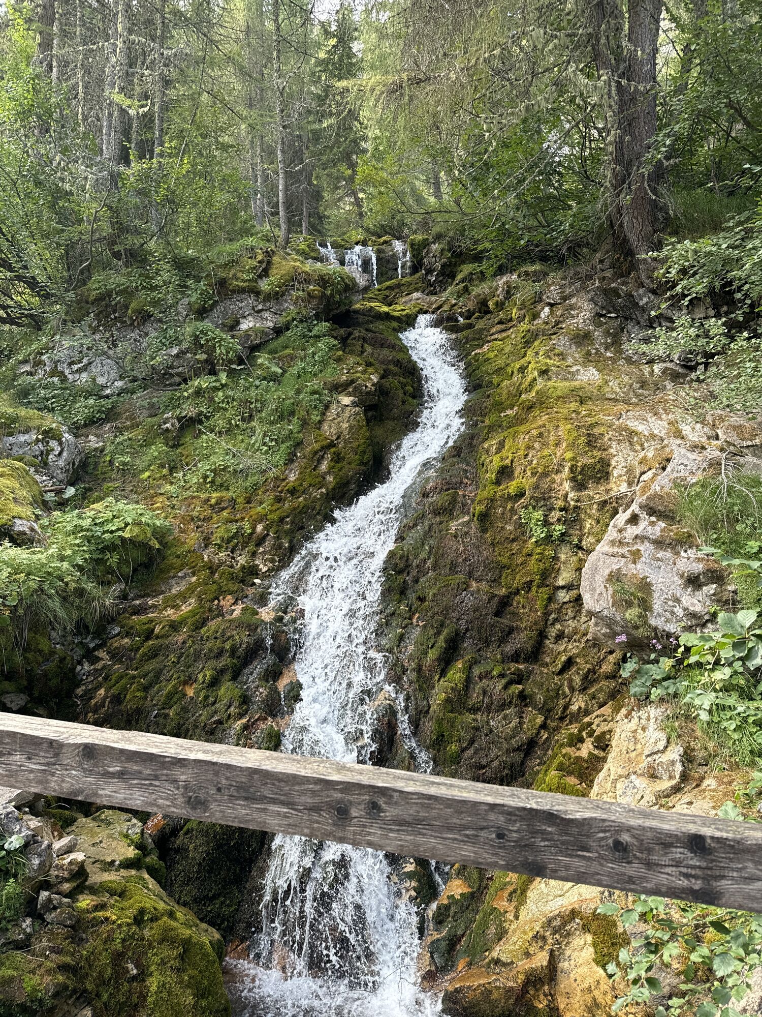
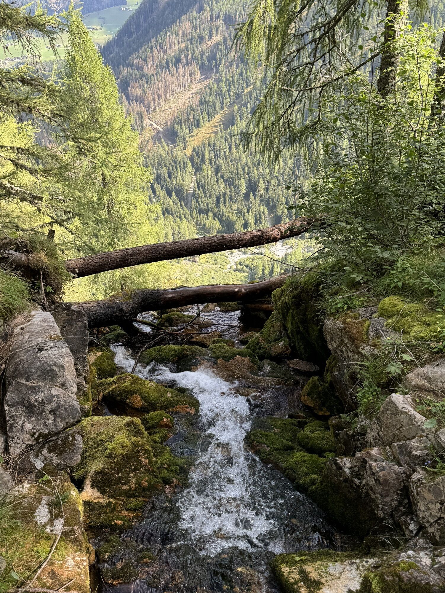
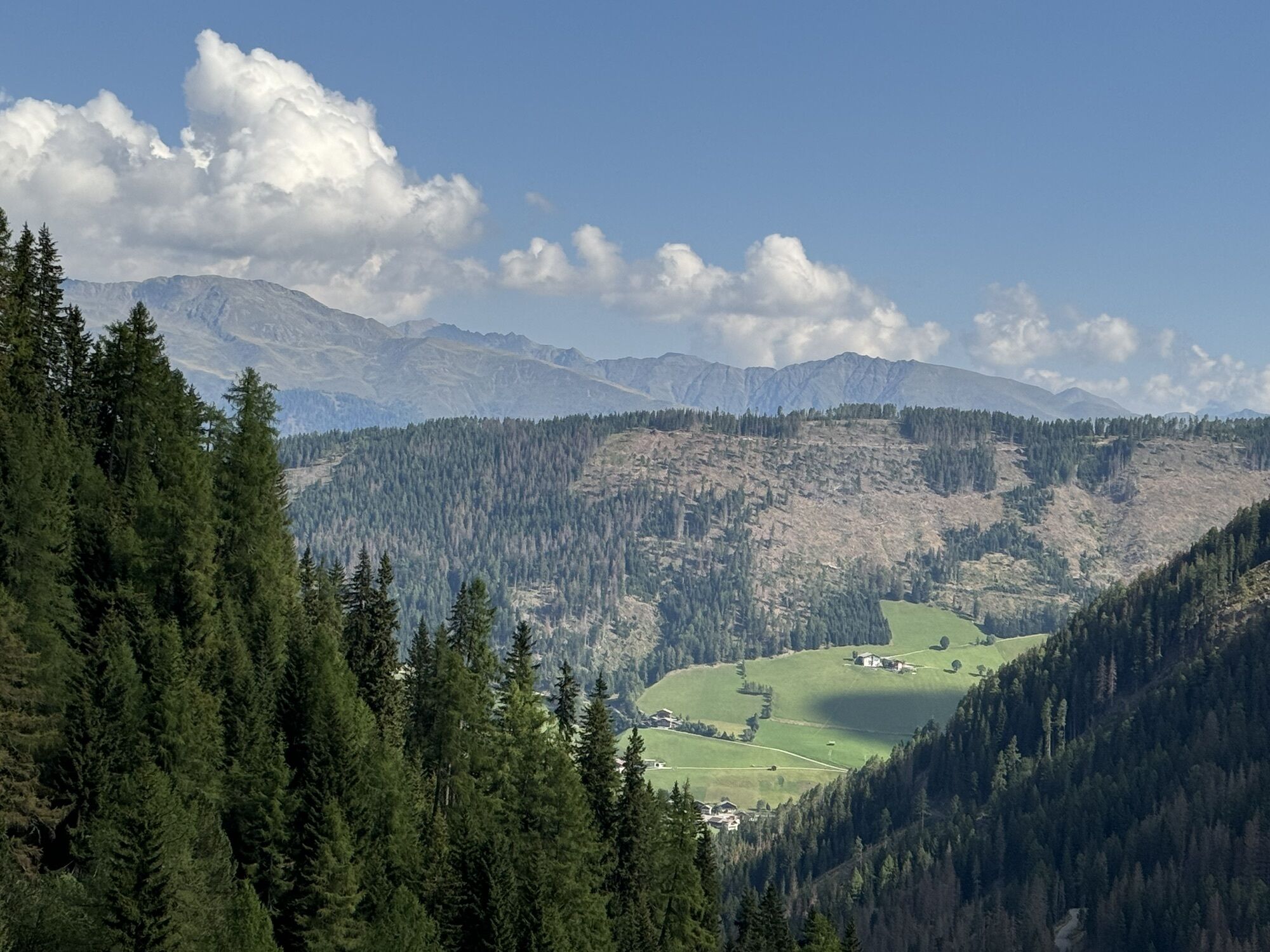
The Pfannspitze is located south-east of the Obstanser See hut (2304 m) and is one of the rarely done ski tours on the Carnic ridge. The starting point is the village of Kartitsch in the Tyrolean Gailtal valley. In the village centre, after a bank branch, opposite the Gasthaus Dolomitenblick, turn right downhill into the valley floor (food market) to Pension Waldruhe and continue uphill to the sports field (1,415 m, parking spaces). Now follow the forest road southwards into the Winklertal valley and uphill via nice hairpin bends to the gloomy rocky ridge. Here you usually have to carry skis and, depending on the conditions, switch to crampons. The exposed sections, which need to be mastered with caution, are right at the start. As soon as the path widens and we move away from the fall terrain, we have to switch back to skis. In further hairpin bends, along a wooden bridge, we reach the fantastically beautiful Obstanser Wiesenboden with the Prinz-Heinrich chapel (1,962 m) hidden behind trees. The trail now follows a diagonal to the south-east across the ground and aims for the rising north-west slopes below the Rosskopf in the spirit of the summer trail. We reach a trough-like gully that takes us southwards to the dreamy hut at Obstanser See (2,304 m). Here we have to cross eastwards into the lonely Hochkar before heading south again at the bottom below the Rosskopftörl and aiming for the broad saddle on the ridge line. While the view of the wild Sesto Dolomites opens up, we trudge along the short south-west ridge, watching out for cornices, to the summit of the Pfannspitze (cross). Descent along the ascent track.
Mit dem Auto bis zum Sportplatz Kartitsch
Mit dem Bus bis zur Haltestelle "Kartitsch Gemeindeamt"
Parkplatz Sportzentrum Kartitsch
Popular tours in the neighbourhood
- 4,9
Drei Zinnen
mediumHiking19,6 km - 4,7
Fischleintal zu den 3 Zinnen Hütte mit Besteigung des Sextner Steins
mediumHiking16,2 km - 5,0
Paternkofel_Schartenweg
heavyVia ferrata20,7 km - 3,9
Rotwandspitze
mediumVia ferrata10,6 km - 4,6
Bad Moos-Dreizinnenhütte
mediumHiking15,2 km - 5,0
Dolomiten - Toblinger Knoten 2.617m - Leitern zum Himmel
mediumVia ferrata20 km - 4,7
Bad Moos - Talschlusshütte - 3 Zinnenhütte - Büllelejochhütte - Zsigmondyhütte - Talschlusshütte - Bad Moos
heavyHiking23,0 km - 4,8
Sillianer Hütte 2.447 m
mediumHiking16,8 km - 5,0
Pfannspitze, 2678 m
mediumHiking15,6 km Sexten Moos - Wanderbus - Rifugio Auronzo - Rifugio Lavaredo - Paternsattel - 3 Zinnenhütte - Altensteintal - Fischleital - Bus - Sexten Moos
lightMountain hiking11,7 km
Hiking & Tracking


Don't miss out on offers and inspiration for your next holiday
Your e-mail address has been added to the mailing list.