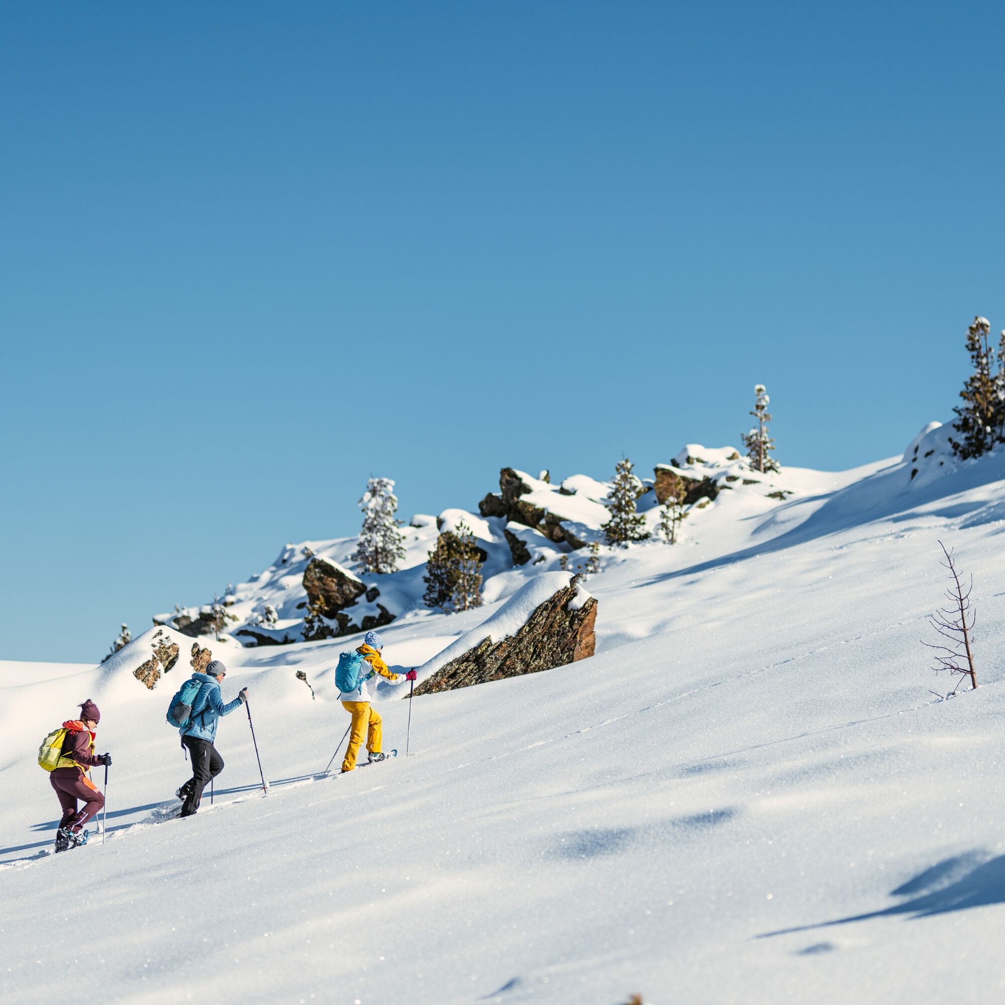
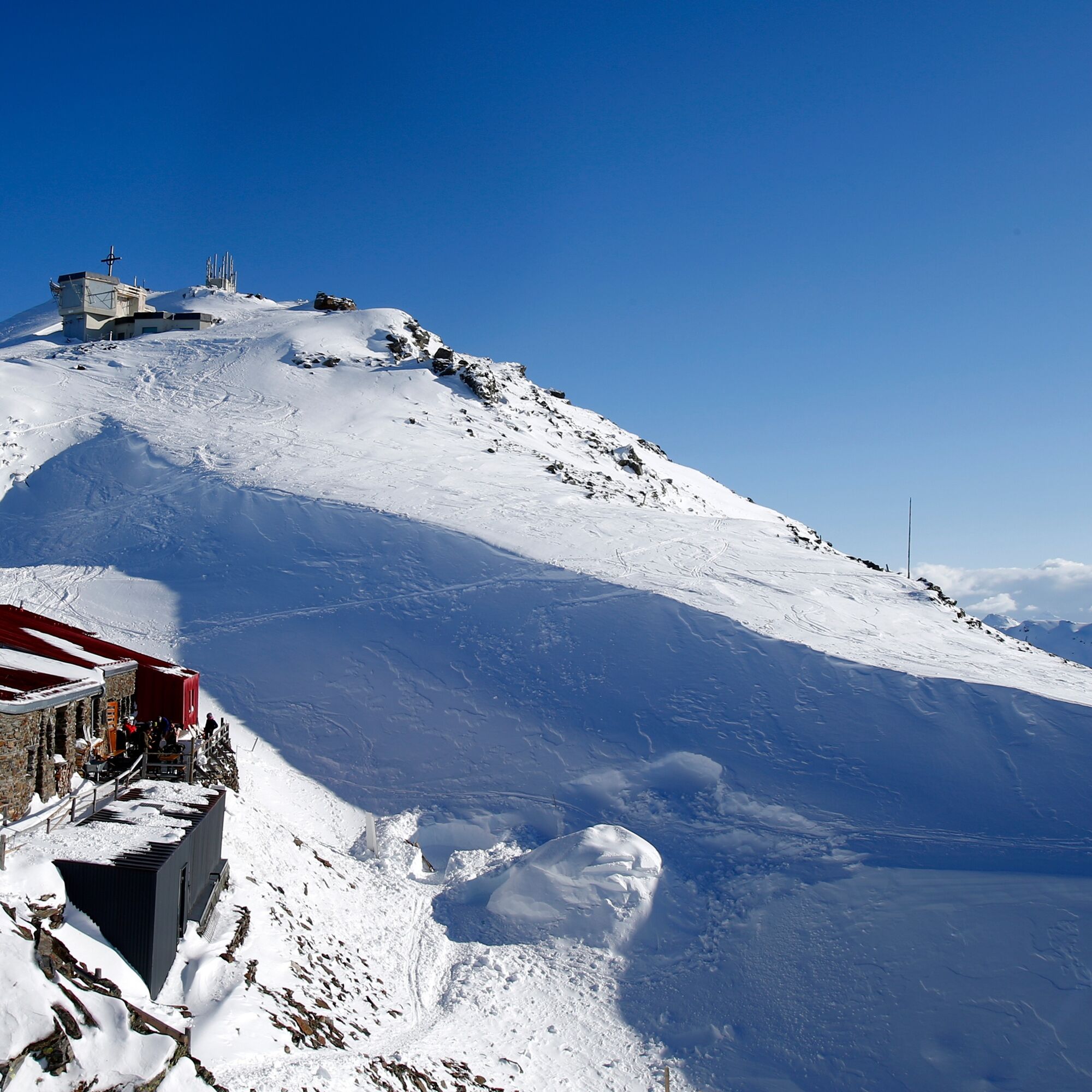
Snowshoeing route from Tulfeinalm to the Glungezer hut
medium
Navigate
Navigate
Get this tour on your mobile
Snowshoeing route from Tulfeinalm to the Glungezer hut
medium
Snowshoe
3,05
km
Scan the QR code and start navigation in the bergfex app

Hiking & Tracking


Distance
3,05
km
Duration
02:30
h
Ascent
551
m
Sea level
2.043 -
2.601
m
Track download
Snowshoeing route from Tulfeinalm to the Glungezer hut
medium
Snowshoe
3,05
km


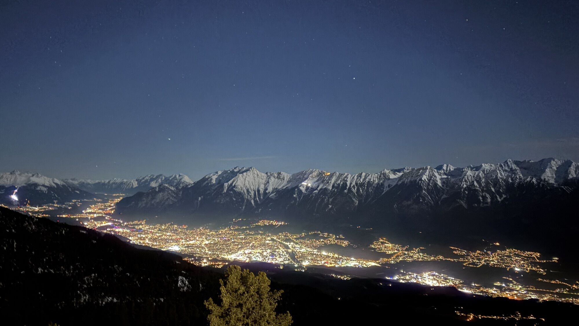
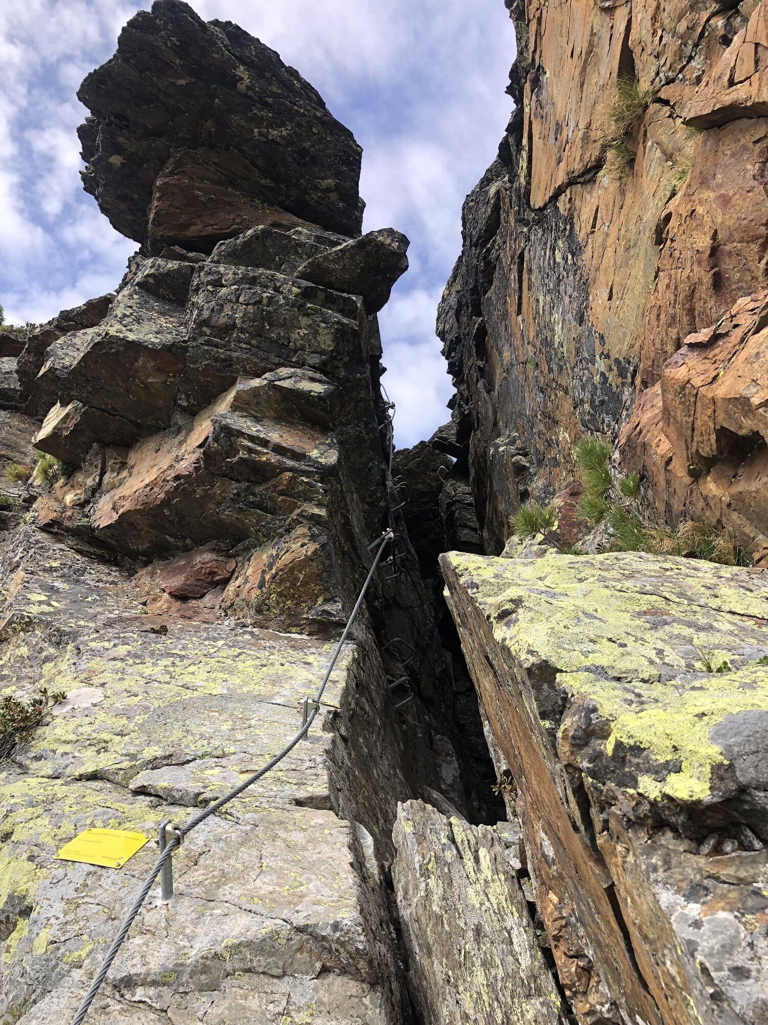
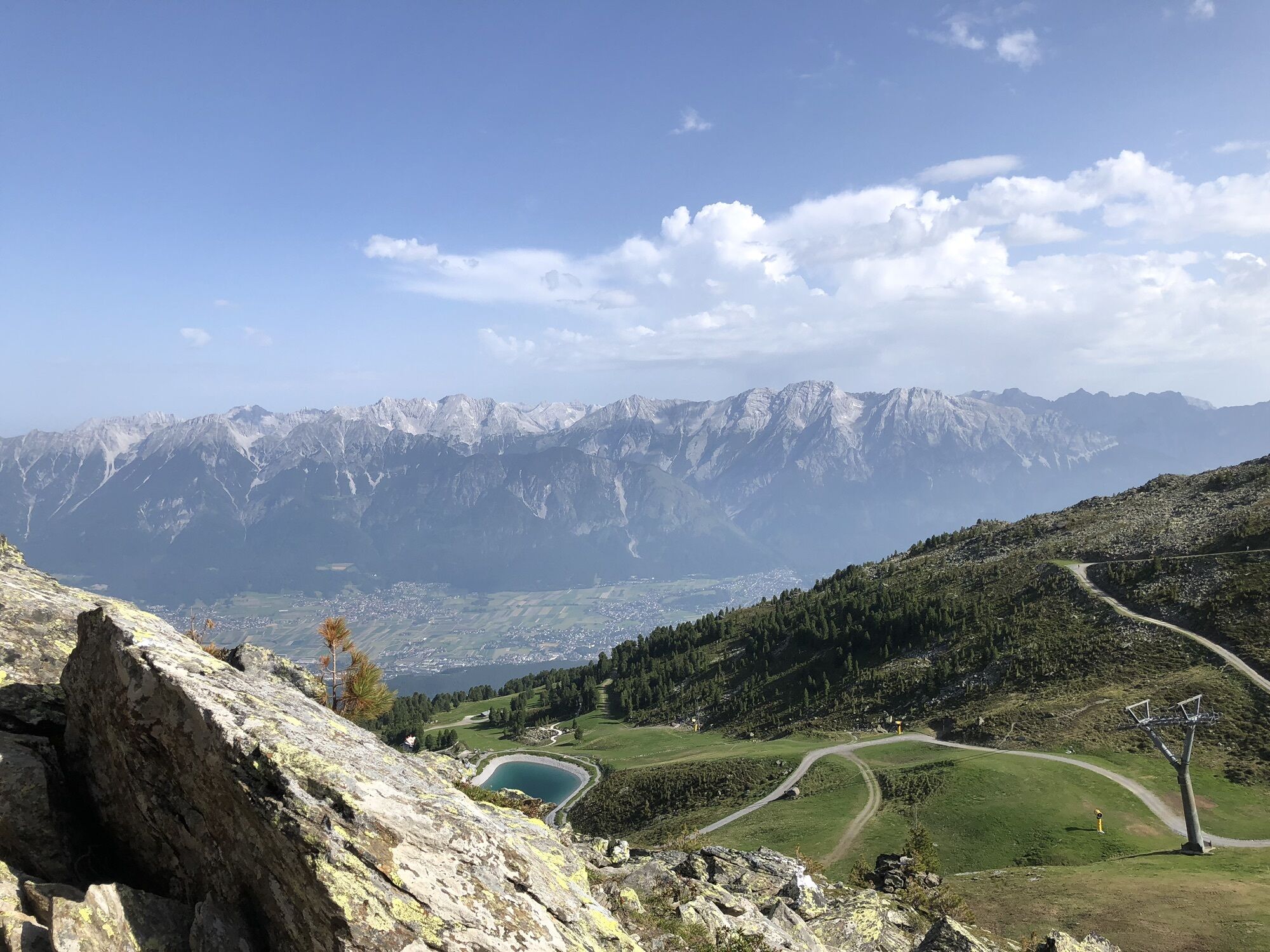
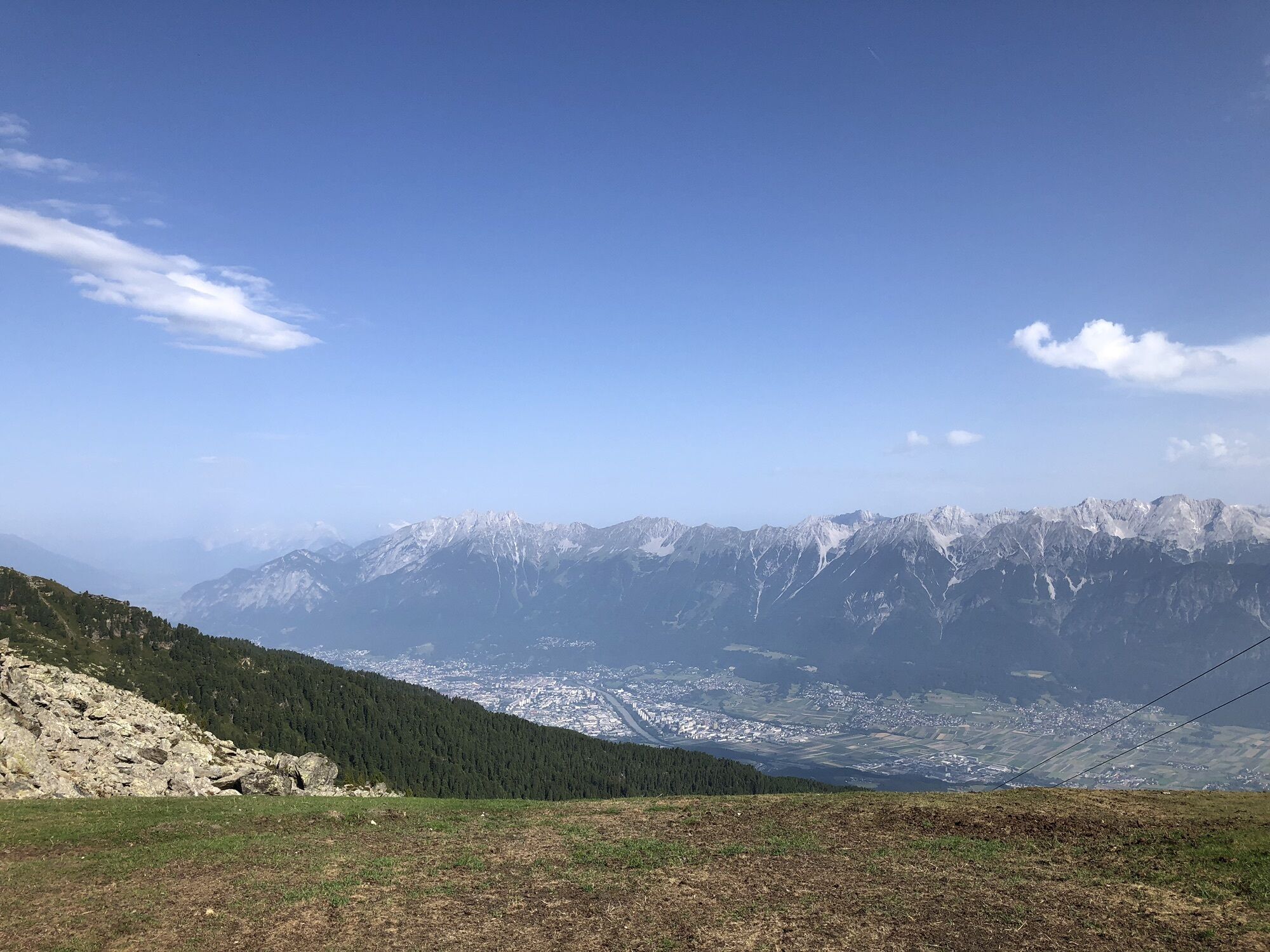
Photos from our users

 © Maria LinardouCreated on 14.01.2025
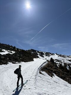
 © Helmut SchuchterCreated on 19.04.2025
 © Helmut SchuchterCreated on 19.04.2025
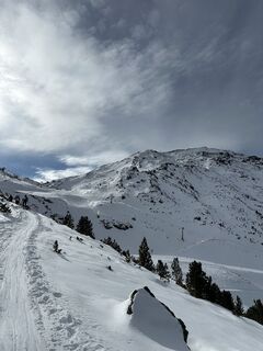
 © Michael Olynetz 1Created on 16.02.2025
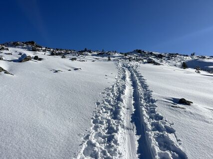 © Helmut SchuchterCreated on 21.12.2024
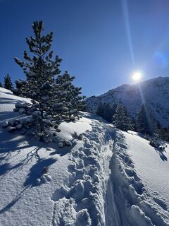 © Helmut SchuchterCreated on 21.12.2024
 © Helmut SchuchterCreated on 15.12.2024
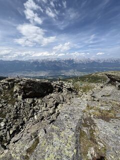
 © ralf HumerCreated on 20.07.2025
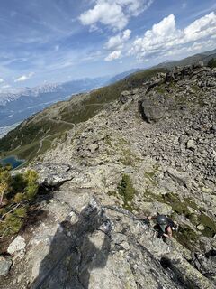 © ralf HumerCreated on 20.07.2025
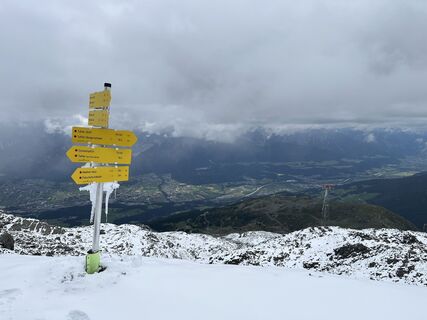 © Stefan OttoCreated on 09.07.2025
 © Stefan OttoCreated on 09.07.2025
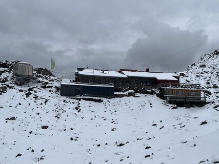 © Stefan OttoCreated on 09.07.2025
 © Cristina C.Created on 21.06.2025
 © Martin HentschelCreated on 14.06.2025
 © Martin HentschelCreated on 14.06.2025
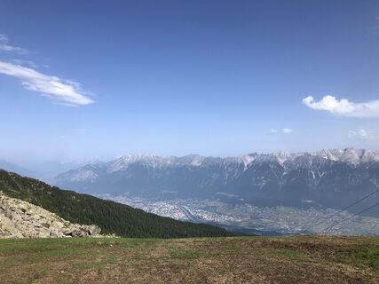 © Martin HentschelCreated on 14.06.2025


Route
Route
Snowshoeing route from Tulfeinalm to the Glungezer hut
medium
Snowshoe
3,05
km
Author
Provided by Tourismusverband Region Hall-Wattens
The tour Snowshoeing route from Tulfeinalm to the Glungezer hut is provided by outdooractive.com.

Route information
Route
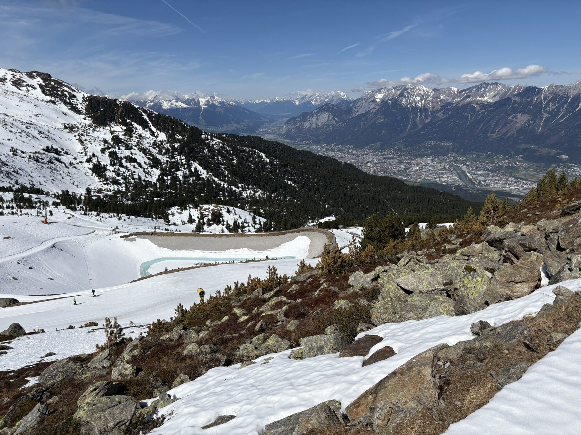
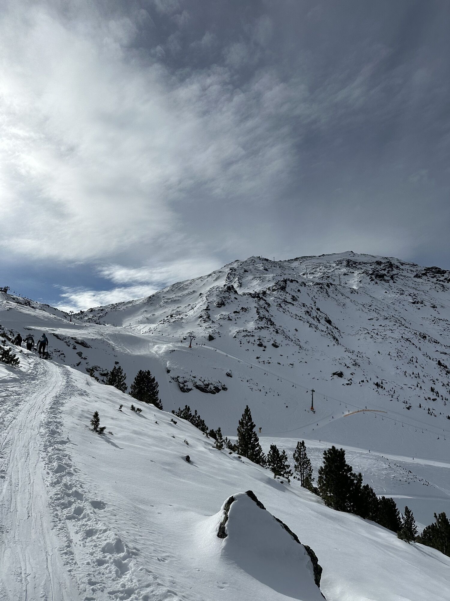
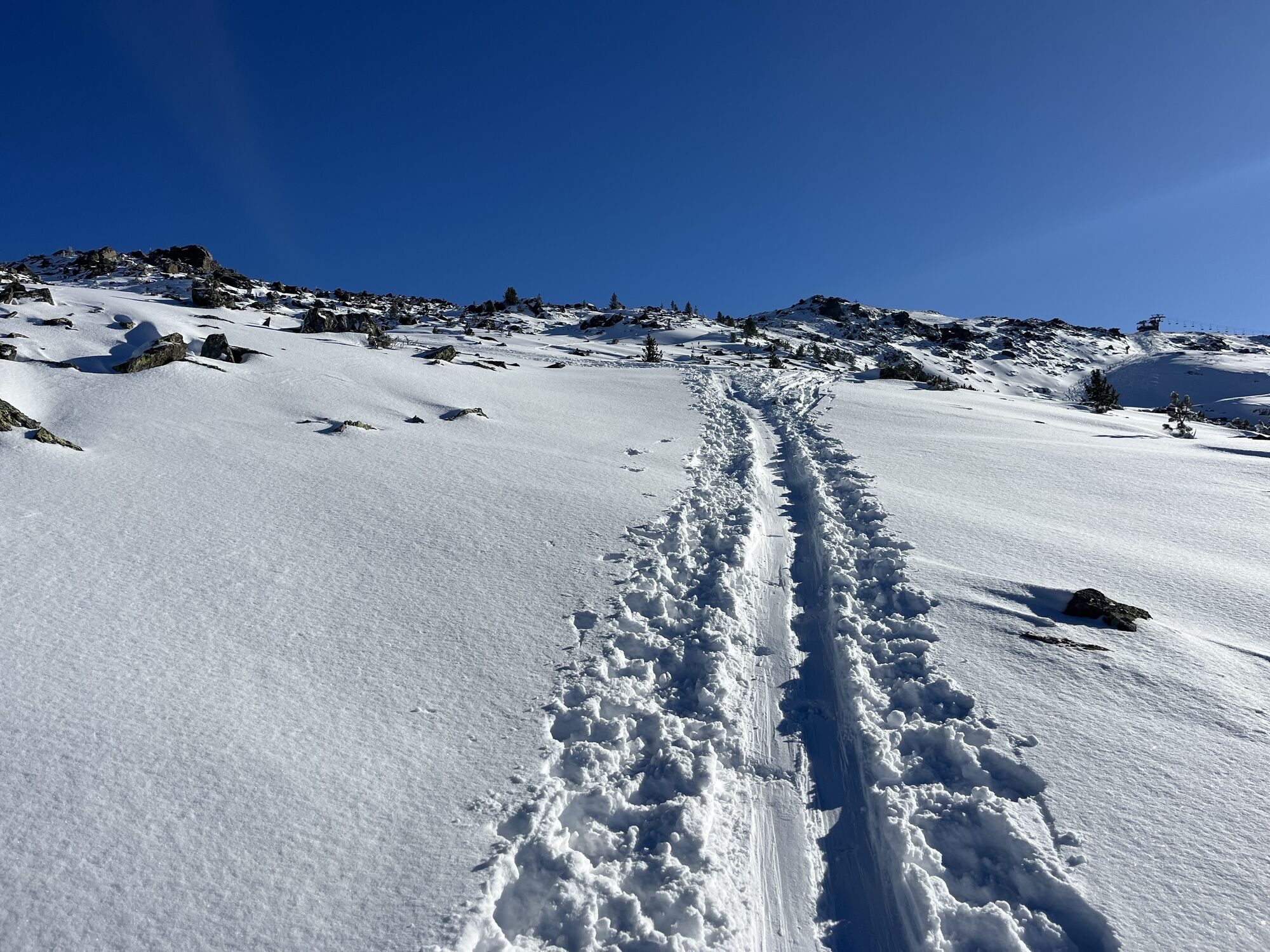
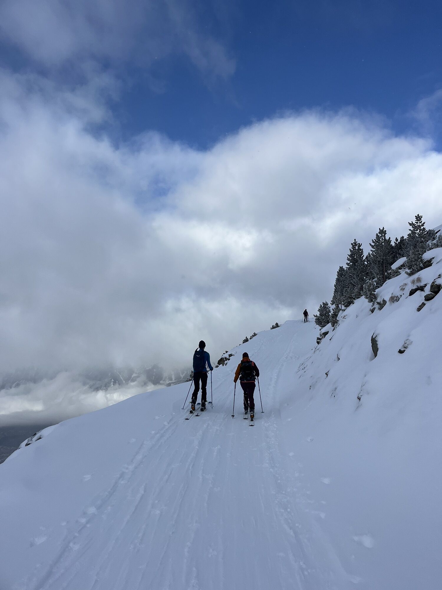
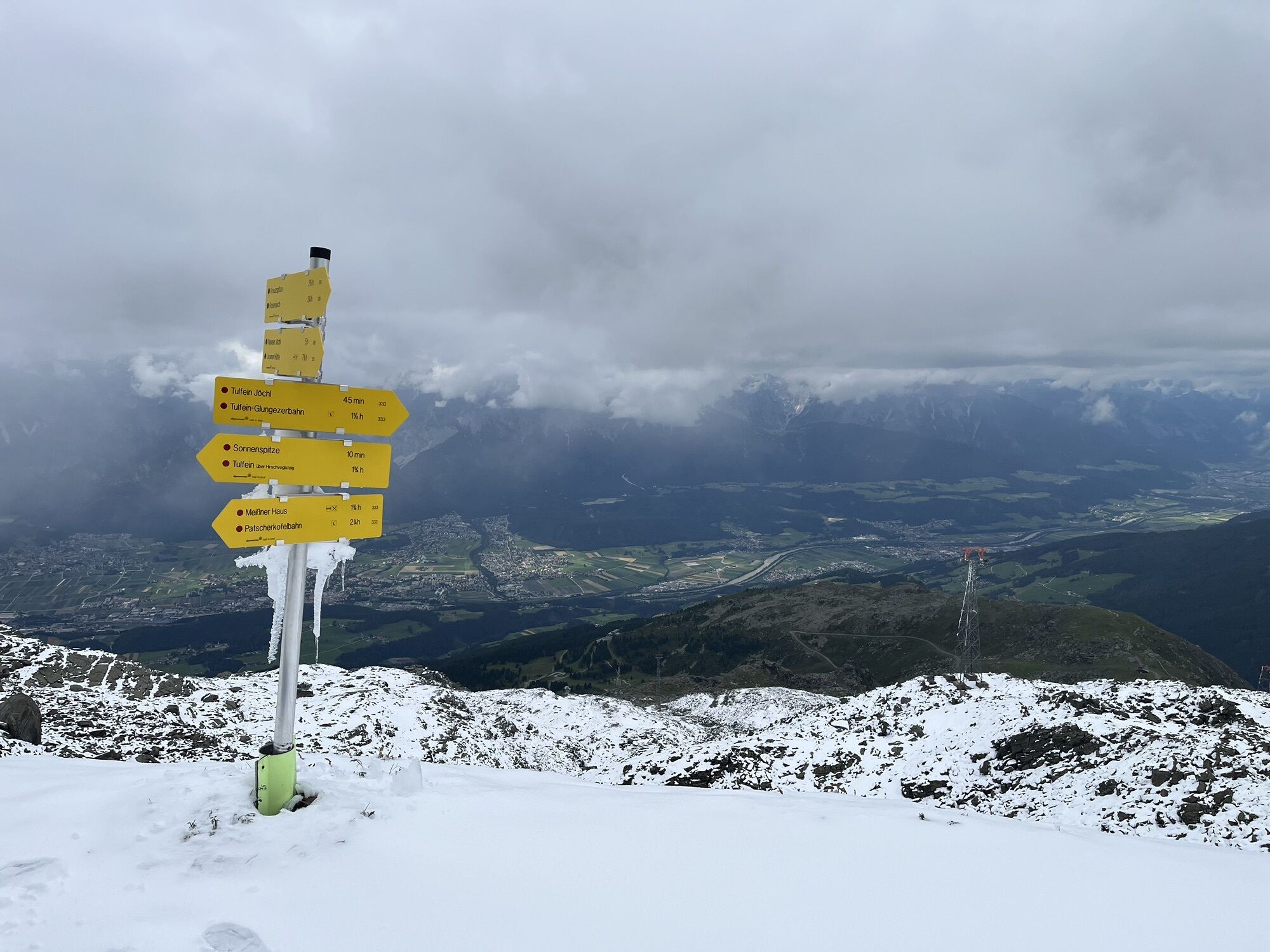
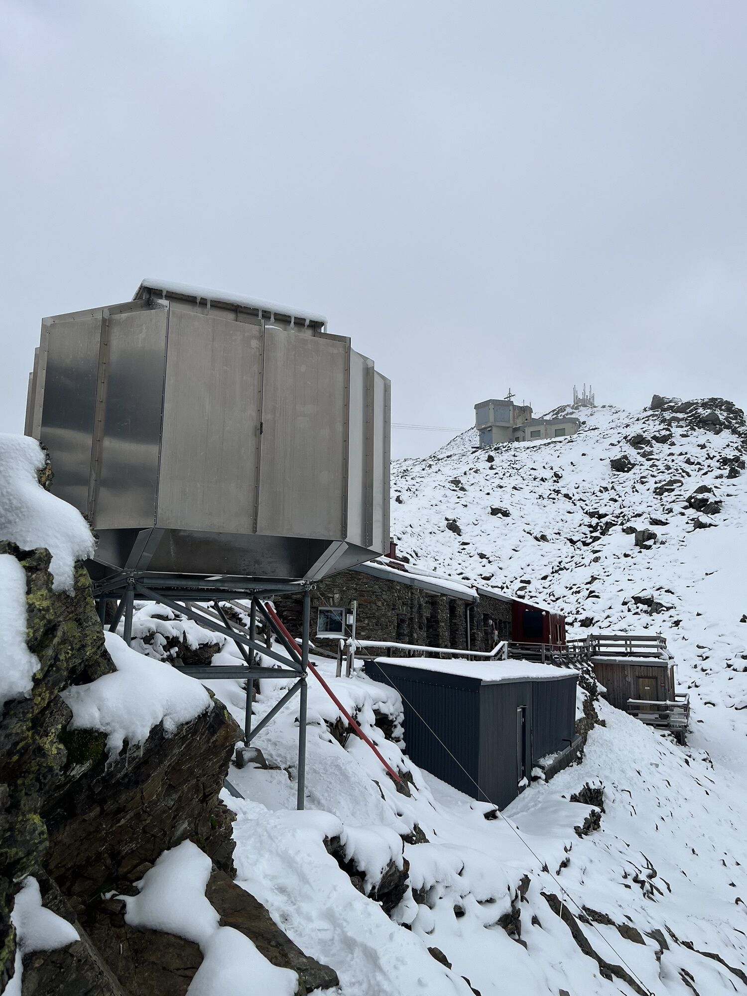
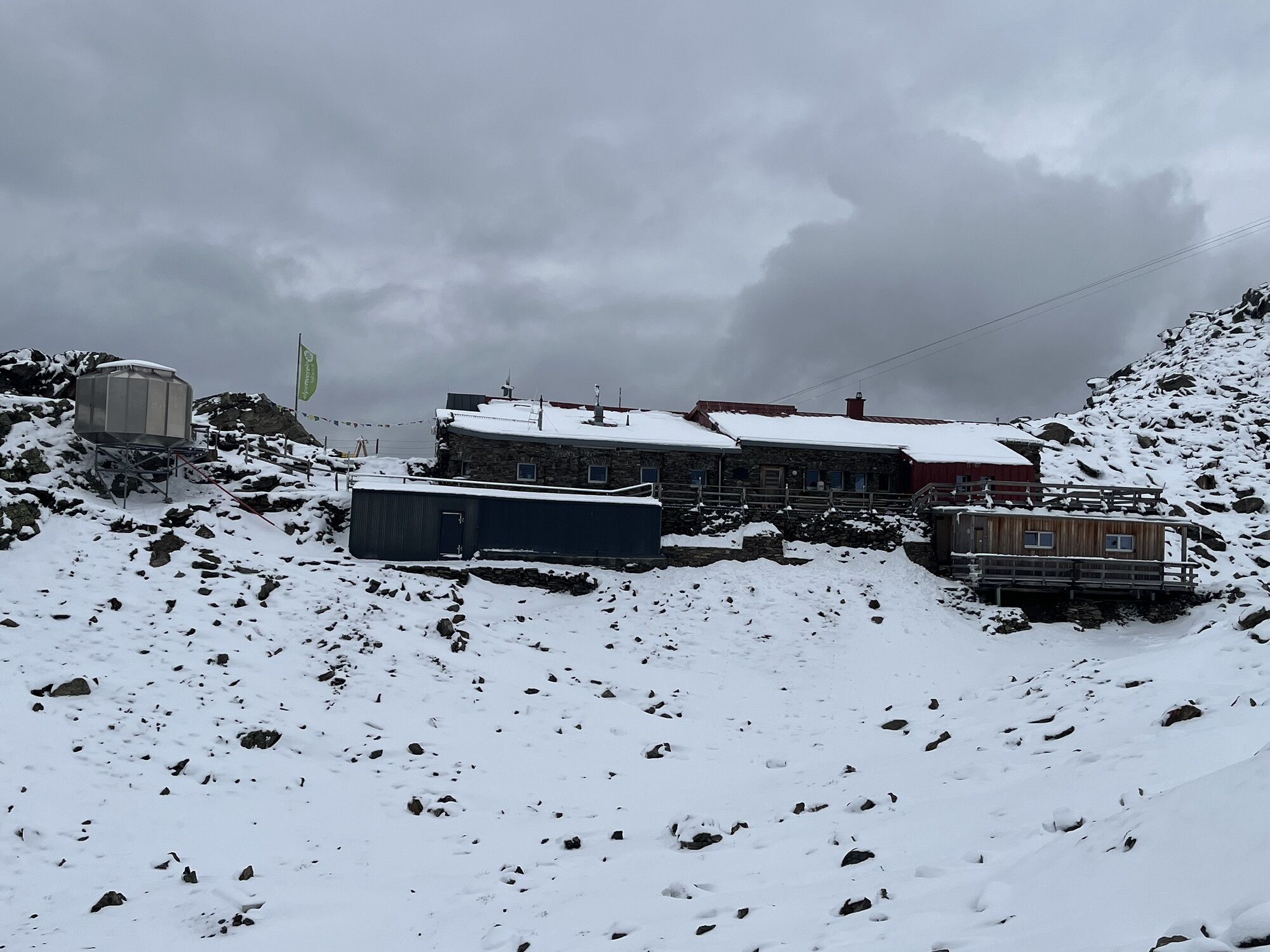
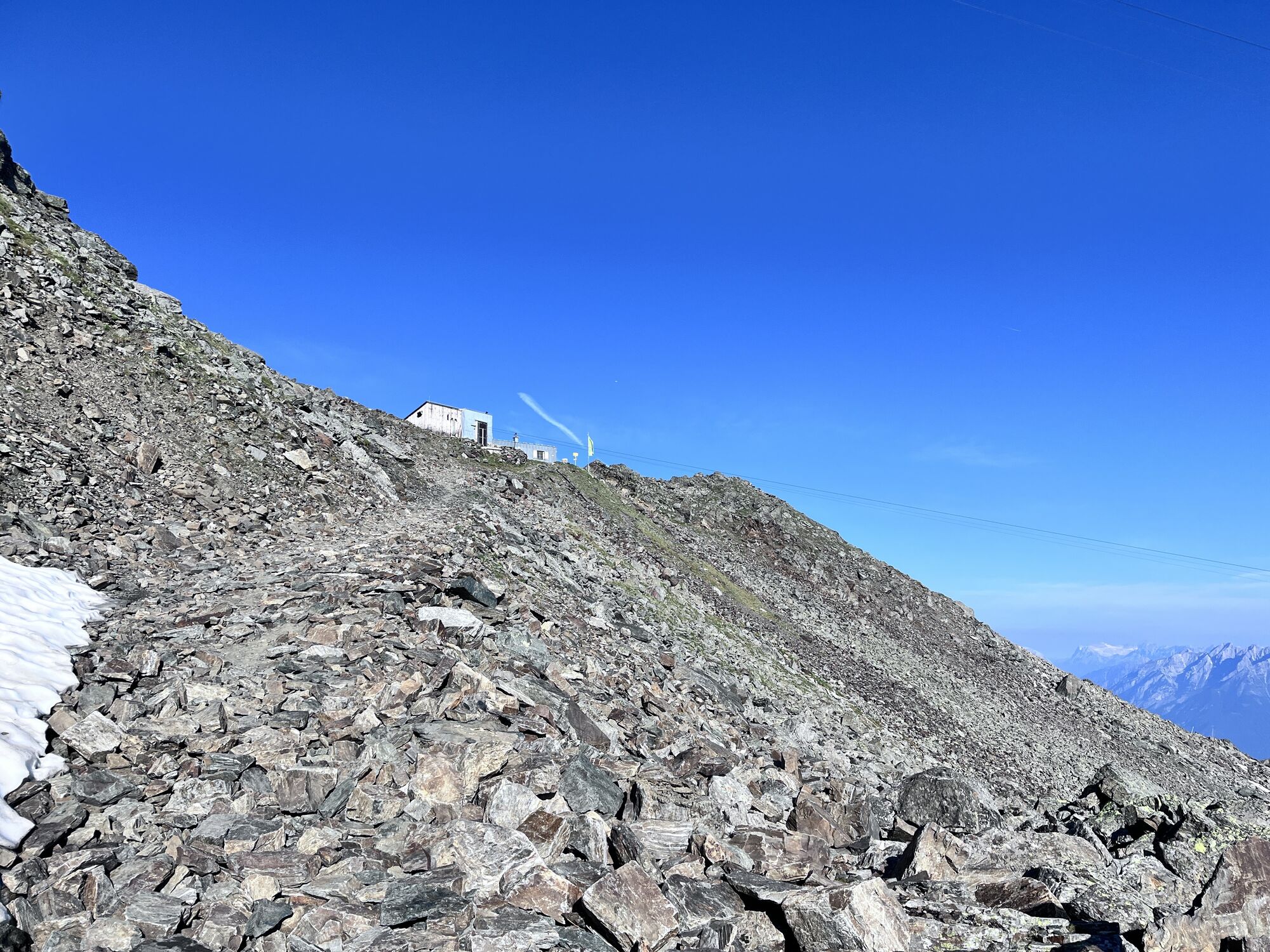
With the Glungezerbahn from Tulfes, you go two sections up to Tulfeinalm. In the open ski terrain or turning left over free slopes to Schartenkogel (2,311 m) and along the ski touring route up to the Glungezer hut (2,610 m) or to the Glungezer (2,677 m). With magnificent views of 500 peaks, ridges, and passes, as well as the snow-covered Tyrolean Inn Valley and the opposite Karwendel mountain range.
Summit tour
Yes
Equipment
Winter equipment, snowshoes
Arrival information
Arrival
Tulfes
Public transport
By bus 540 to the Glungezerbahn
Parking
Tulfes Glungezerbahn
No reviews yet
Webcams of the tour
Popular tours in the neighbourhood
- 4,6
To the scenic Hochmahdkopf
mediumHiking8,31 km - 4,8
Via Ferrata at the Hundskopf
heavyVia ferrata2,18 km - 3,7
To the alpine inn St. Magdalena in the Halltal
mediumHiking7,24 km - 4,9
3 Almen Karwendelrunde MTB Route 408
heavyMountainbike23,8 km - 4,7
Patscherkofl
mediumHiking18,5 km Der Goethe Weg in Tirol
mediumHiking15,9 km- 4,0
In the footsteps of Emperor Franz I to the Kaisersäule
mediumHiking11,0 km Through the Halltal to the gem Issanger
mediumHiking13,7 km- 4,5
Up to the Largoz
mediumHiking7,01 km - 4,2
From the Tulfeinalm to the Schartenkogel
mediumHiking4,20 km

Hiking & Tracking

Over 550.000 tour suggestions, detailed maps and an intuitive route planner make the app a must-have for all nature enthusiasts.

Don't miss out on offers and inspiration for your next holiday
Subscribe to the newsletter
Error
An error has occurred. Please try again.Thank you for your registration
Your e-mail address has been added to the mailing list.
Tours throughout Europe
Austria Switzerland Germany Italy Slovenia France Netherlands Belgium Poland Liechtenstein Czechia Slovakia Spain Croatia Bosnia and Herzegovina Luxembourg Andorra Portugal Iceland United Kingdom Ireland Greece Albania North Macedonia Malta Norway Montenegro Moldova Kosovo Hungary San Marino Romania Estonia Latvia Belarus Cyprus Lithuania Serbia Bulgaria Monaco Denmark Sweden Finland