Aldrans - Palmbühel - Pfarrkirche hl. Petrus - Innsbruck
heavy
Navigate
Navigate
Get this tour on your mobile
Aldrans - Palmbühel - Pfarrkirche hl. Petrus - Innsbruck
heavy
Racing
64.22
km
Scan the QR code and start navigation in the bergfex app

Hiking & Tracking


Distance
64.22
km
Duration
03:40
h
Ascent
1,392
m
Sea level
564 -
1,077
m
Track download
Aldrans - Palmbühel - Pfarrkirche hl. Petrus - Innsbruck
heavy
Racing
64.22
km


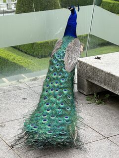
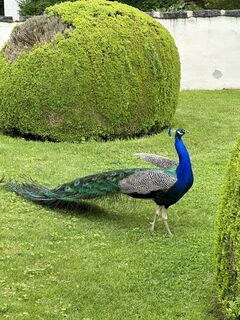
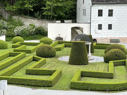
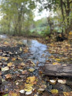
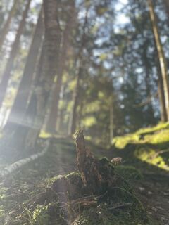
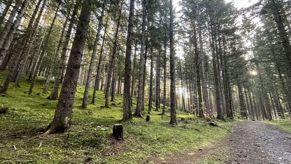
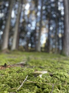
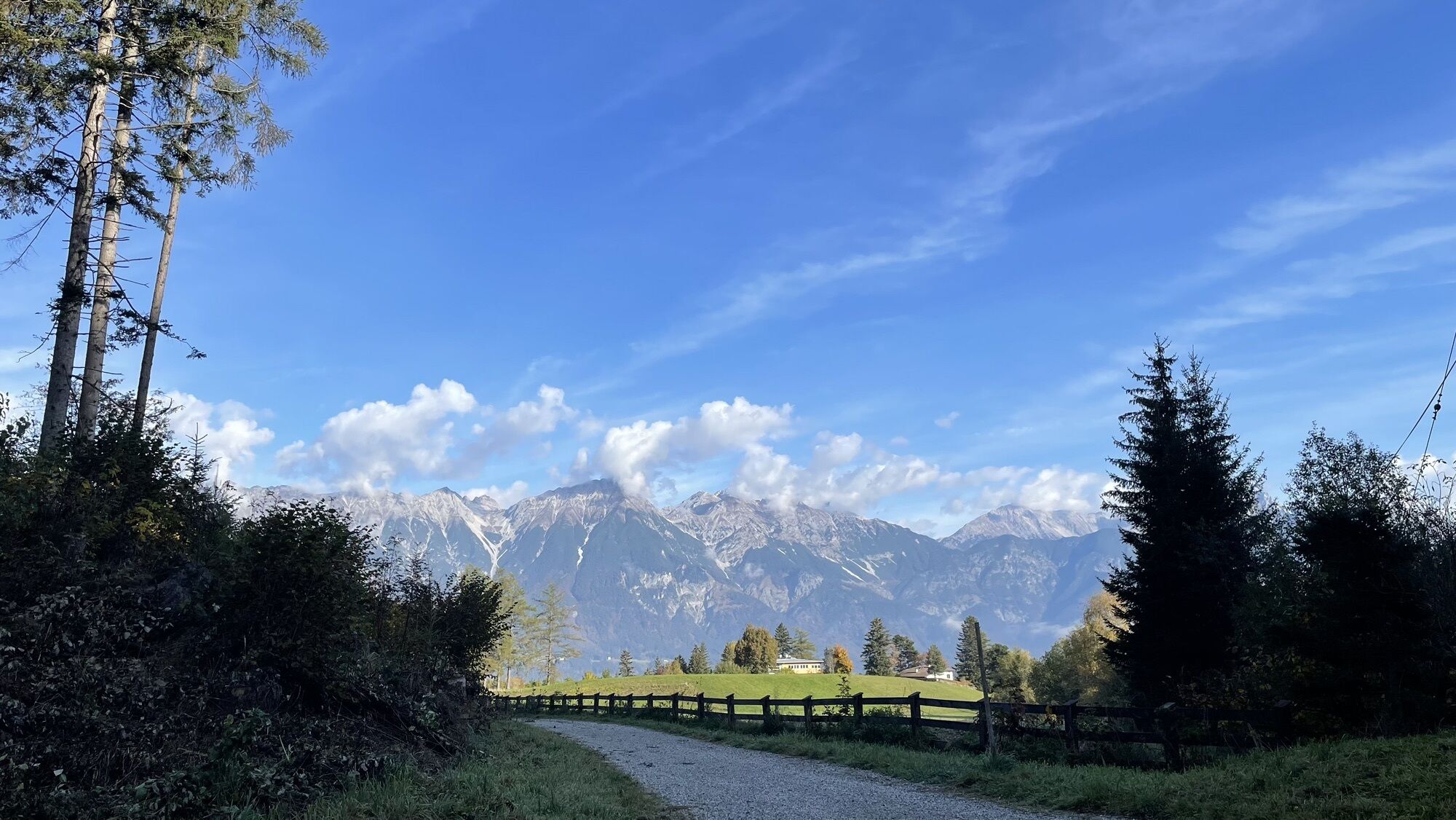
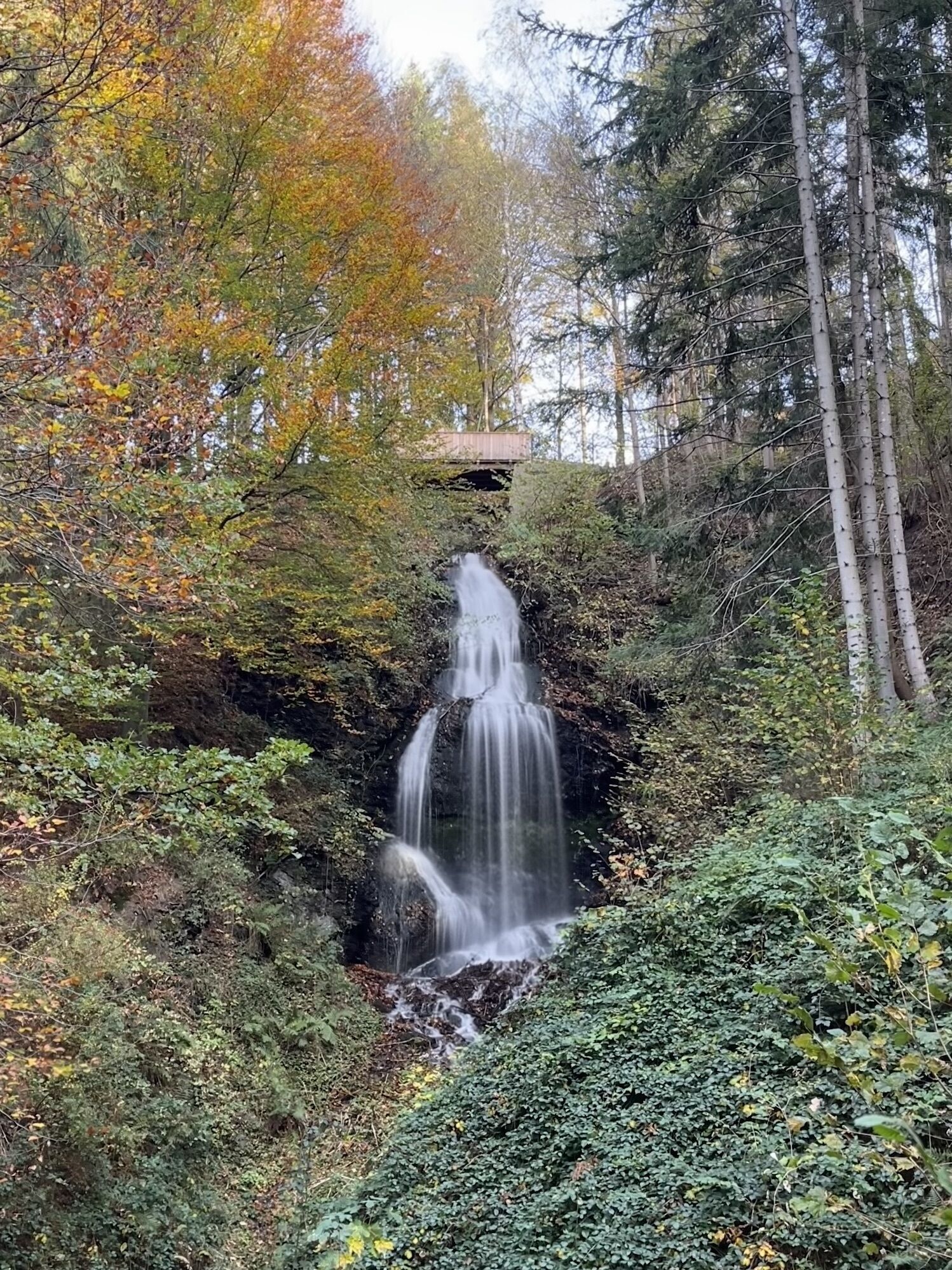
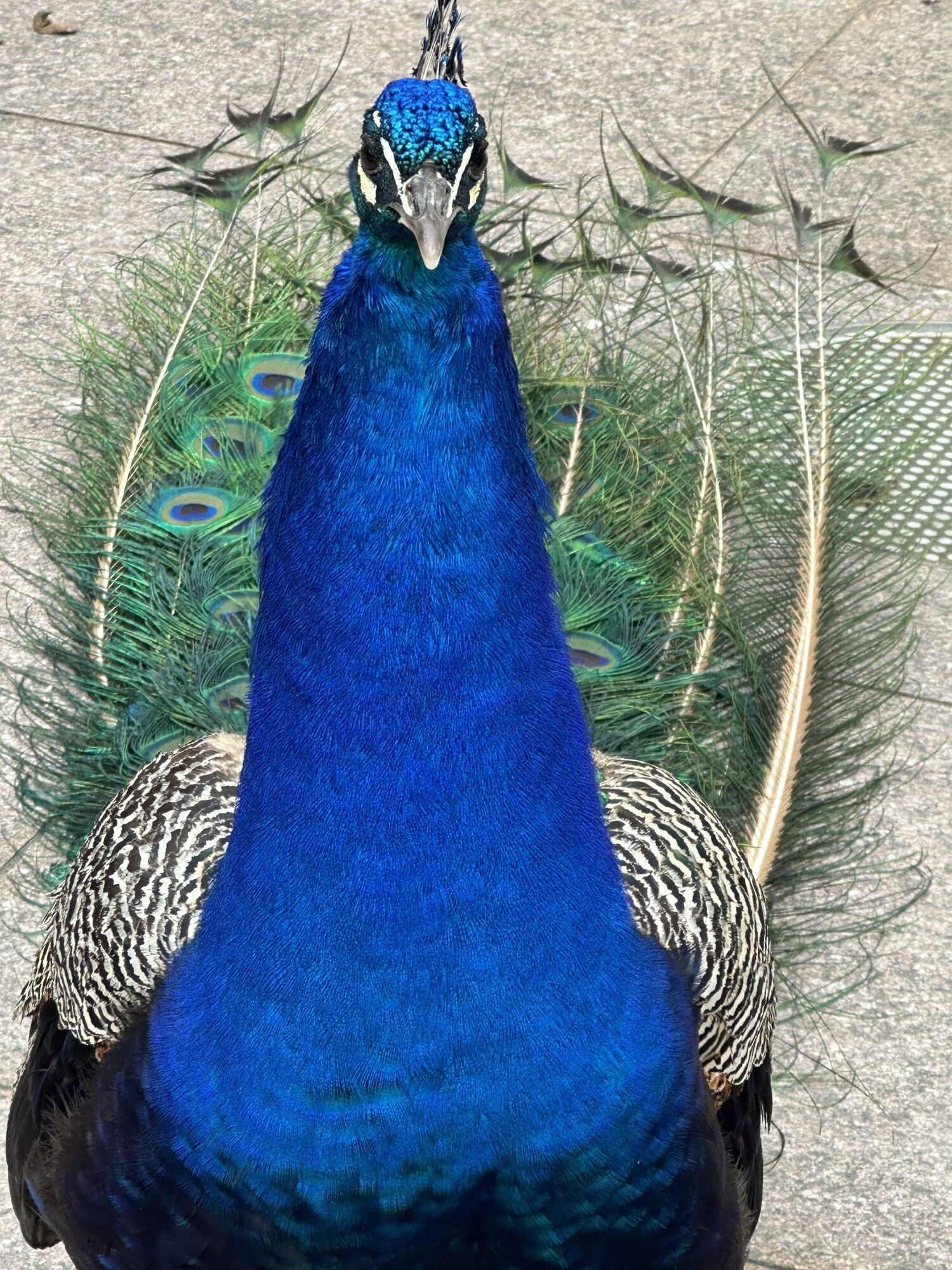
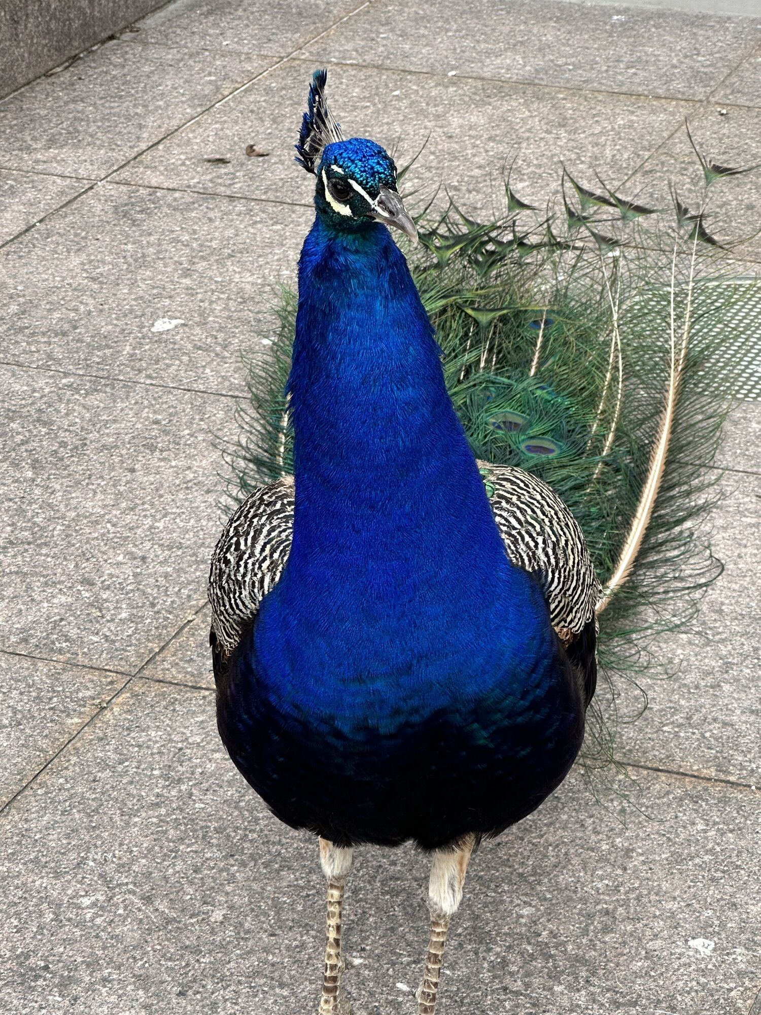
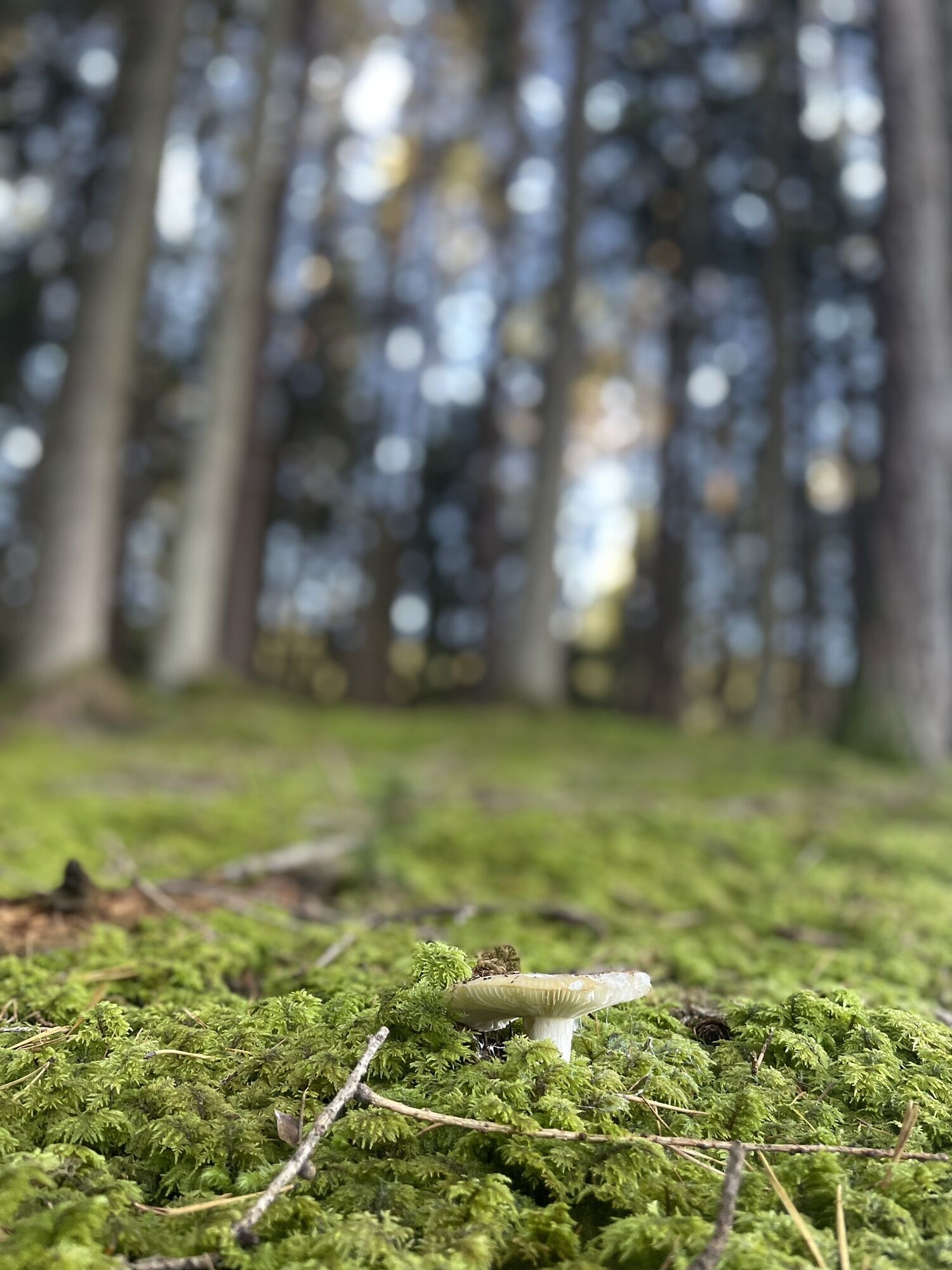
Photos from our users
-

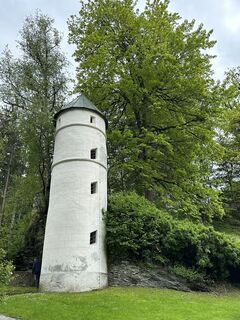
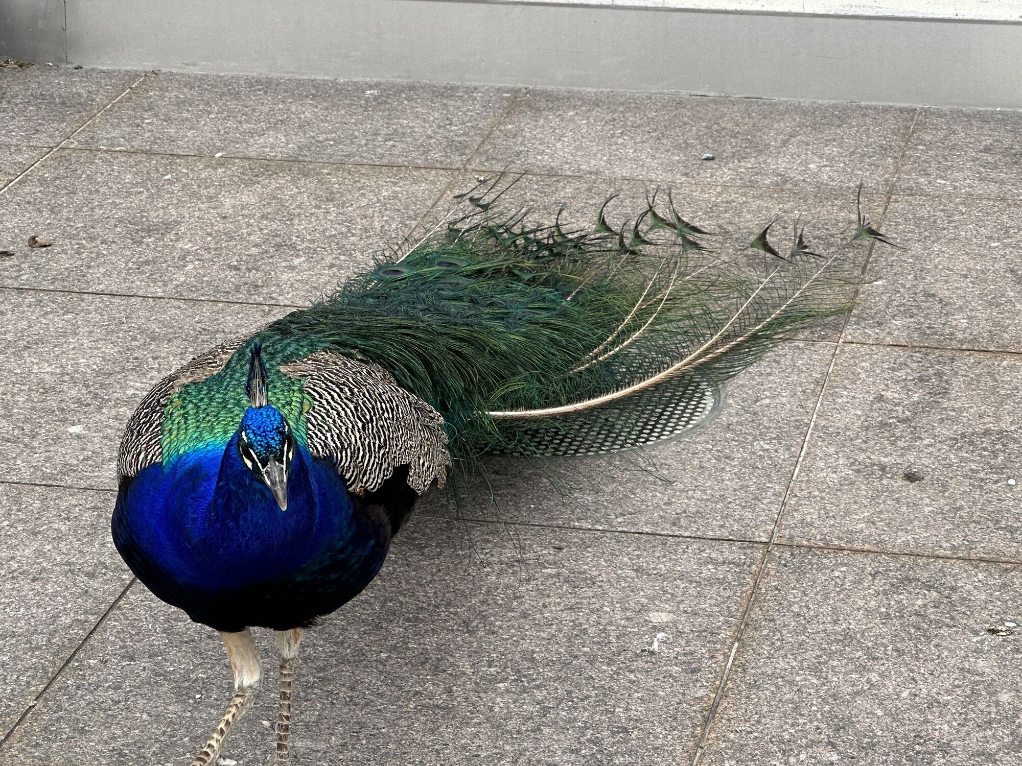
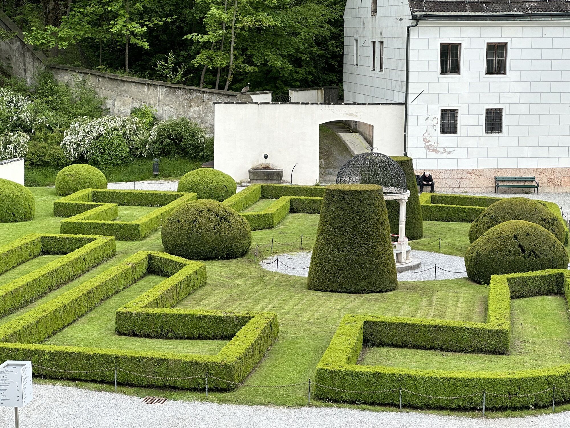
 © Edith PelzlCreated on 13.10.2022
 -

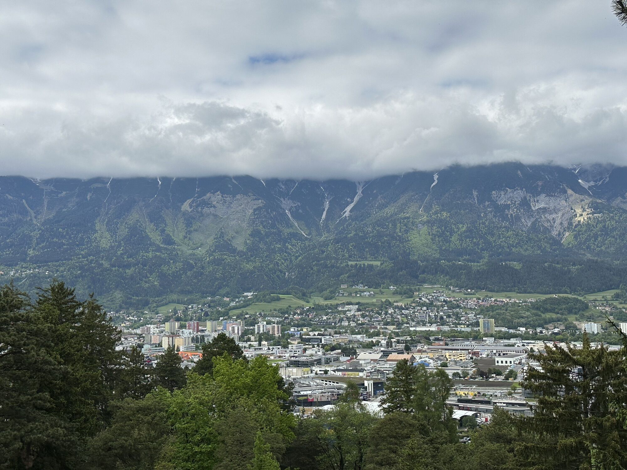
 © tracksauCreated on 27.10.2024
 -
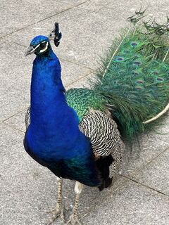
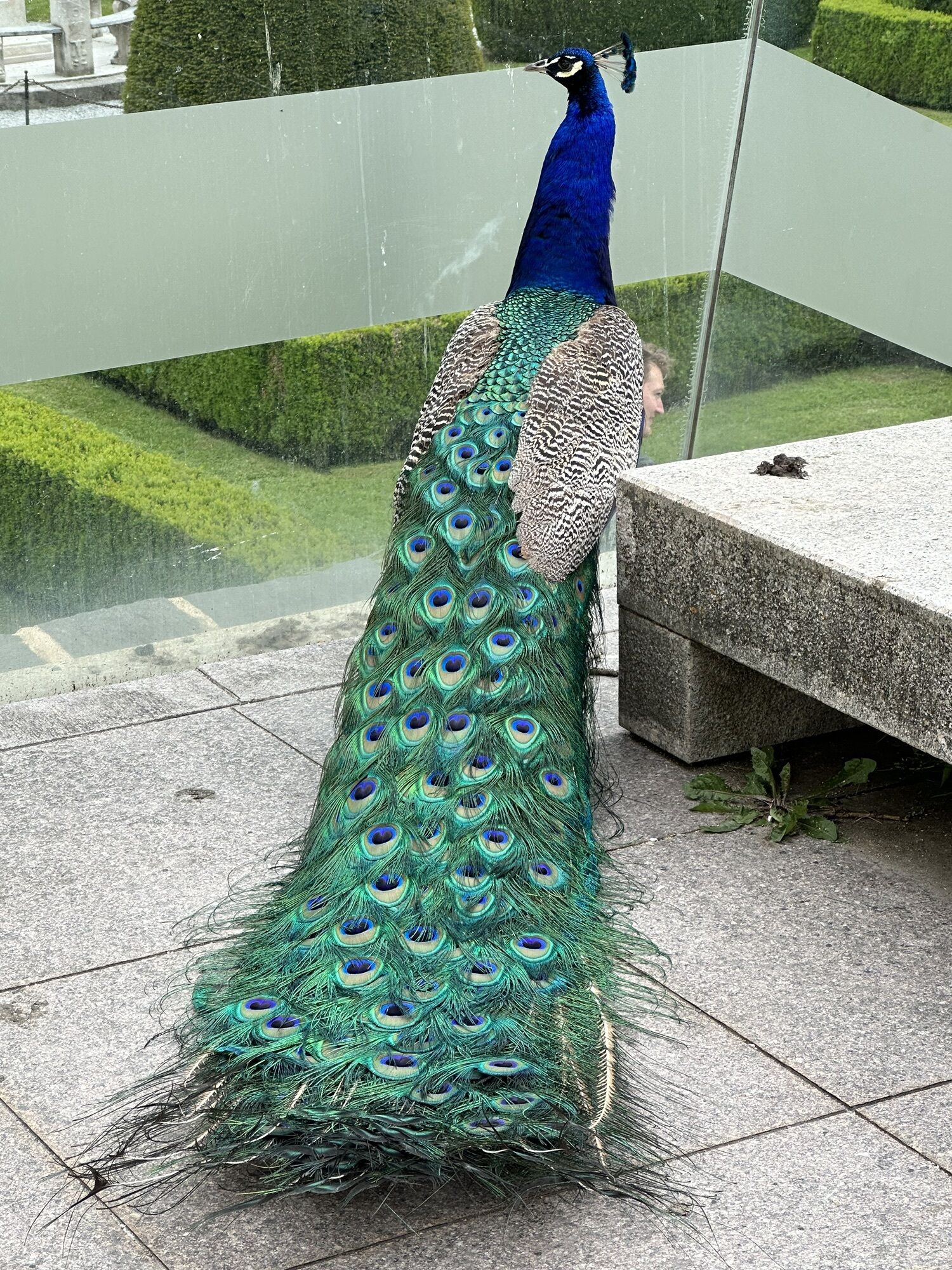
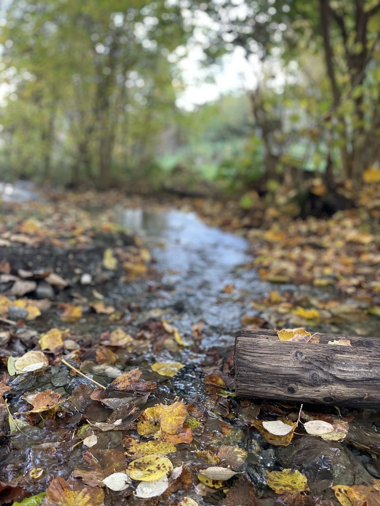
 © Kasch0Created on 18.05.2023
 -
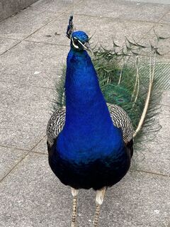
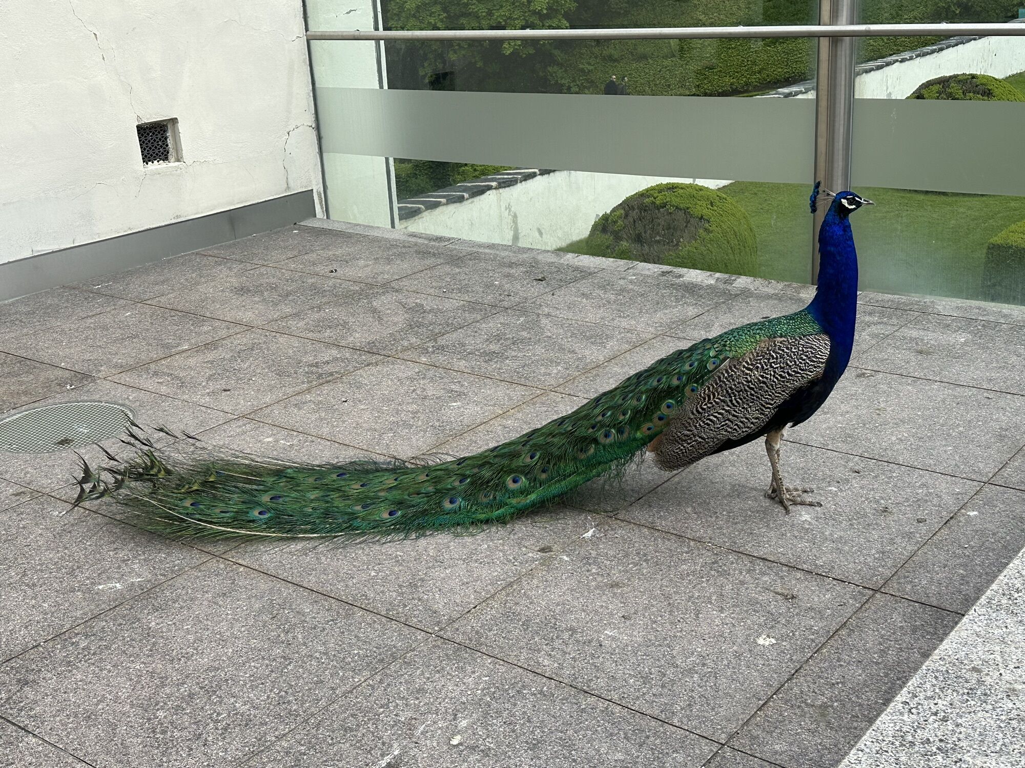
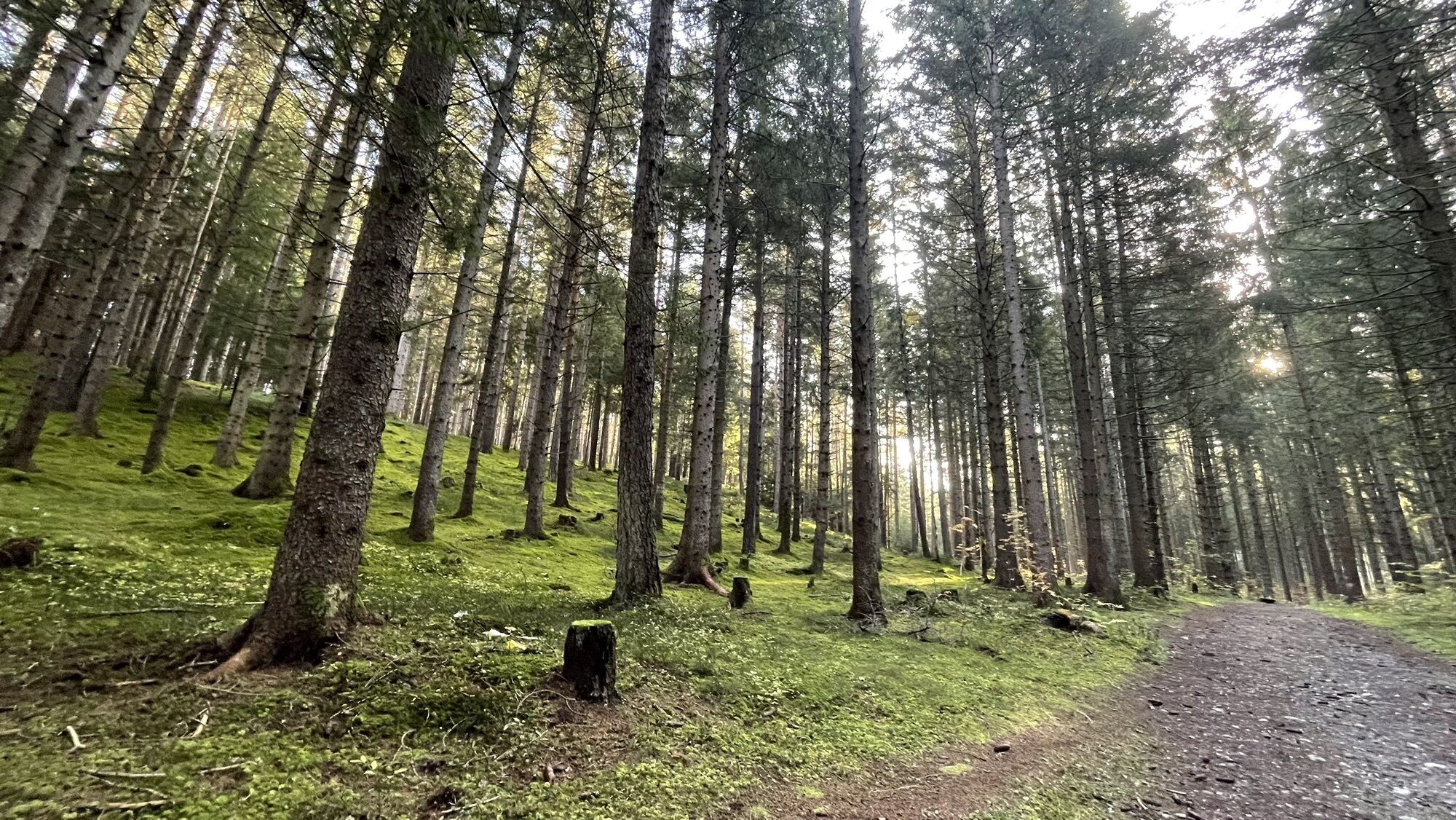
 © Kasch0Created on 18.05.2023
 -
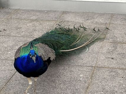
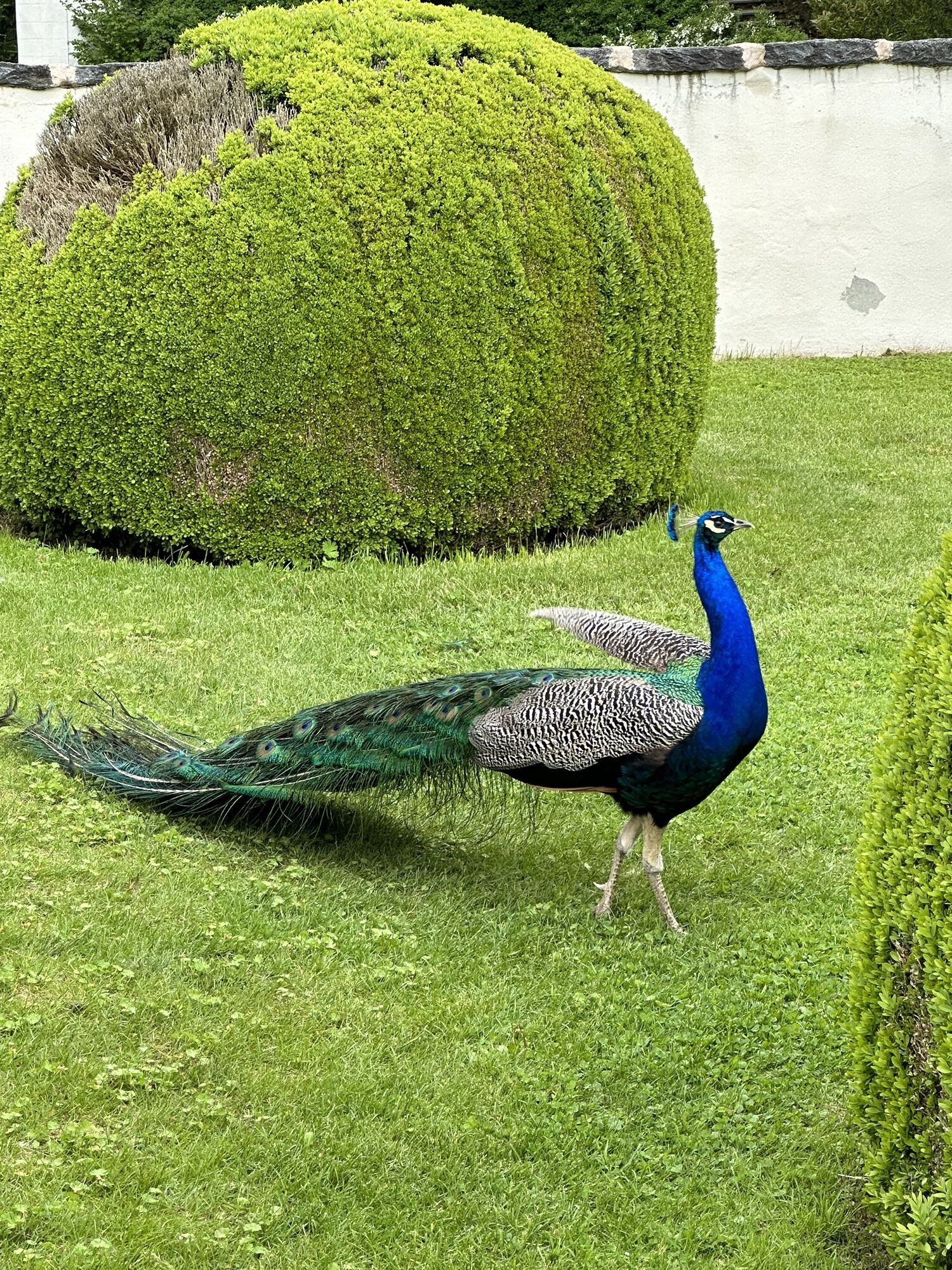
 © Kasch0Created on 18.05.2023
 -
 © Kasch0Created on 18.05.2023
 -
 © Kasch0Created on 18.05.2023
 -
 © Kasch0Created on 18.05.2023
 -
 © Kasch0Created on 18.05.2023
 -
 © Kasch0Created on 18.05.2023
 -
 © Kasch0Created on 18.05.2023
 -
 © Kasch0Created on 18.05.2023
 -
 © Edith PelzlCreated on 13.10.2022
 -
 © Edith PelzlCreated on 13.10.2022
 -
 © Edith PelzlCreated on 13.10.2022
 -
 © Edith PelzlCreated on 13.10.2022


Route
Pfarrkirche Lans
(866 m)
Place of worship
8.0 km
Pfarrkirche Lans
(866 m)
Place of worship
12.3 km
Palmbühel
(730 m)
Summit
15.7 km
Maria Himmelfahrt
(576 m)
Place of worship
19.0 km
Kriegerkapelle
(992 m)
Place of worship
39.6 km
Schöfener Kirche Hl. Nikolaus
(1,063 m)
Place of worship
40.7 km
Pfarrkirche hl. Petrus
(1,070 m)
Place of worship
49.0 km
Route
Aldrans - Palmbühel - Pfarrkirche hl. Petrus - Innsbruck
heavy
Racing
64.22
km
Angerbirschtling
(728 m)
Neighbourhood
5.4 km
Giardino
(757 m)
Restaurant
6.1 km
Aldrans
(760 m)
Village
6.3 km
Rans
(843 m)
Neighbourhood
7.1 km
Isserwirt
(866 m)
Restaurant
8.0 km
Lans
(867 m)
Village
8.0 km
Pfarrkirche Lans
(866 m)
Place of worship
8.0 km
Wilder Mann
(869 m)
Restaurant
8.0 km
Lans
(867 m)
Village
12.3 km
Wilder Mann
(869 m)
Restaurant
12.3 km
Pfarrkirche Lans
(866 m)
Place of worship
12.3 km
Isserwirt
(866 m)
Restaurant
12.4 km
Rans
(843 m)
Neighbourhood
13.2 km
Aldrans
(760 m)
Village
14.1 km
Giardino
(757 m)
Restaurant
14.3 km
Aldranser Hof
(757 m)
Restaurant
14.4 km
Pfarrkirche St. Martin
(760 m)
Place of worship
14.4 km
Friedhofskapelle
(760 m)
Place of worship
14.4 km
Palmbühel
(730 m)
Summit
15.7 km
Halsl
(652 m)
Corridor/terrain
15.9 km
Ampass
(650 m)
Village
16.2 km
Egerdachkapelle
(601 m)
Place of worship
17.3 km
Egerdach
(600 m)
Settlement
17.3 km
Maria Himmelfahrt
(576 m)
Place of worship
19.0 km
Totenkapelle
(576 m)
Place of worship
19.0 km
Amras
(577 m)
Neighbourhood
19.2 km
Kirche Jesu Christi der Heiligen der Letzten Tage
(578 m)
Place of worship
19.4 km
Neuapostolische Kirche Innsbruck
(583 m)
Place of worship
20.1 km
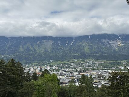
Innsbruck
(574 m)
City
21.3 km
Innsbruck Sonnenburgerhof/Tirol Panorama
(678 m)
Railway station
22.3 km
Kostbar
(701 m)
Restaurant
24.4 km
Gasthof Schupfen
(714 m)
Restaurant
26.4 km
Neue Andreas-Hofer-Gedächtniskapelle
(711 m)
Place of worship
26.4 km
Unterberg
(704 m)
Village
27.1 km
Hotel Gasthof Stefansbrücke
(710 m)
Restaurant
27.1 km
Europa bridge view
(774 m)
Viewpoint
28.6 km
Graslboden
(840 m)
Corridor/terrain
30.0 km
Petra
(935 m)
Restaurant
32.5 km
Matreiwald
(976 m)
Settlement
35.5 km
Gasthof Gschleirs
(977 m)
Restaurant
35.8 km
Mühlbachl
(989 m)
Village
39.1 km
Altstadt
(991 m)
Settlement
39.1 km
Kriegerkapelle
(992 m)
Place of worship
39.6 km
Matrei am Brenner
(953 m)
City
39.8 km
Gasthof Zur Uhr
(986 m)
Restaurant
39.8 km
Schöfens
(1,099 m)
Village
40.6 km
Schöfener Kirche Hl. Nikolaus
(1,063 m)
Place of worship
40.7 km
Waldfrieden
(1,042 m)
Settlement
41.4 km
Pfons
(1,022 m)
Village
41.5 km
St. Margareta
(1,062 m)
Settlement
41.8 km
Wiesengrund
(1,044 m)
Settlement
42.7 km
Gedeir
(1,071 m)
Settlement
43.6 km
Erlach
(1,047 m)
Settlement
44.8 km
Erlachkapelle
(1,044 m)
Place of worship
44.8 km
Innerellbögen
(1,089 m)
Settlement
45.4 km
Figurkapelle
(1,044 m)
Place of worship
46.6 km
Walzn
(1,061 m)
Settlement
46.6 km
Niederstraße
(1,067 m)
Settlement
47.2 km
Neuwirtkapelle
(1,063 m)
Place of worship
47.2 km
Neuwirt
(1,068 m)
Restaurant
47.3 km
Mühltal
(1,035 m)
Settlement
48.4 km
St. Peter
(1,071 m)
Village
49.0 km
Pfarrkirche hl. Petrus
(1,070 m)
Place of worship
49.0 km
Tarzens
(1,114 m)
Neighbourhood
49.5 km
Hennenboden
(1,059 m)
Settlement
49.9 km
Ruggschrein
(1,066 m)
Settlement
50.7 km
Patsch
(998 m)
Village
51.7 km
Bärenwirth
(1,016 m)
Restaurant
51.7 km
Wilder Mann
(869 m)
Restaurant
56.2 km
Pfarrkirche Lans
(866 m)
Place of worship
56.2 km
Lans
(867 m)
Village
56.2 km
Isserwirt
(866 m)
Restaurant
56.3 km
Rans
(843 m)
Neighbourhood
57.1 km
Aldrans
(760 m)
Village
58.0 km
Giardino
(757 m)
Restaurant
58.1 km
Angerbirschtling
(728 m)
Neighbourhood
58.8 km
Innsbruck
(574 m)
City
60.1 km
No reviews yet
Webcams of the tour
-
Mutterer Alm
-
Innsbruck - Altstadt
-
Innsbruck
-
Hungerburg
-
Maria Waldrast
-
Flughafen Innsbruck - Kranebitten
-
Serleslifte Mieders Bergstation Koppeneck II
-
UNI Innsbruck
-
Innsbruck - Markthalle
-
Innsbruck - Patscherkofel
-
Oberer Stadtplatz
-
Thaurer Alm - Glungezer
-
UNI Innsbruck West
-
Schwimmbad Hall
-
Innsbruck Sparkassenplatz
-
Austria Trend Hotel Congress Innsbruck
-
Baggersee Roßau
-
Mutterer Alm
-
Hall in Tirol
-
Mutterer Alm
-
Mutterer Alm
Popular tours in the neighbourhood
-
4.6
To the scenic Hochmahdkopf
mediumHiking 8.31 km -
3.7
To the alpine inn St. Magdalena in the Halltal
mediumHiking 7.24 km -
4.7
Patscherkofl
mediumHiking 18.5 km -
Der Goethe Weg in Tirol
mediumHiking 15.9 km -
4.0
In the footsteps of Emperor Franz I to the Kaisersäule
mediumHiking 11.0 km -
Through the Halltal to the gem Issanger
mediumHiking 13.7 km -
4.5
Up to the Largoz
mediumHiking 7.01 km -
4.2
From the Tulfeinalm to the Schartenkogel
mediumHiking 4.20 km -
Through the Halltal to the imposing Bettelwurf
heavyHiking 22.9 km -
5.0
Ehnbachklamm und Kaiser MaxGrotte, Zirl, Tirol/Österreich
heavyHigh tour 6.30 km
Hiking & Tracking

Over 550.000 tour suggestions, detailed maps and an intuitive route planner make the app a must-have for all nature enthusiasts.

Don't miss out on offers and inspiration for your next holiday
Subscribe to the newsletter
Error
An error has occurred. Please try again.
Thank you for your registration
Your e-mail address has been added to the mailing list.
Tours throughout Europe
Austria
Switzerland
Germany
Italy
Slovenia
France
Netherlands
Belgium
Poland
Liechtenstein
Czechia
Slovakia
Spain
Croatia
Bosnia and Herzegovina
Luxembourg
Andorra
Portugal
Iceland
United Kingdom
Ireland
Greece
Albania
North Macedonia
Malta
Norway
Montenegro
Moldova
Kosovo
Hungary
San Marino
Romania
Estonia
Latvia
Belarus
Cyprus
Lithuania
Serbia
Bulgaria
Monaco
Denmark
Sweden
Finland