St. Anton – Lech – Elbigenalp – Elmen (Naturparkhaus) – Burg Ehrenberg – Retour über Fernpass
heavy
Navigate
Navigate
Get this tour on your mobile
St. Anton – Lech – Elbigenalp – Elmen (Naturparkhaus) – Burg Ehrenberg – Retour über Fernpass
heavy
Cycling
177.94
km
Scan the QR code and start navigation in the bergfex app

Hiking & Tracking


Distance
177.94
km
Duration
-
h
Ascent
2,252
m
Sea level
725 -
1,793
m
Track download
St. Anton – Lech – Elbigenalp – Elmen (Naturparkhaus) – Burg Ehrenberg – Retour über Fernpass
heavy
Cycling
177.94
km


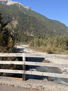
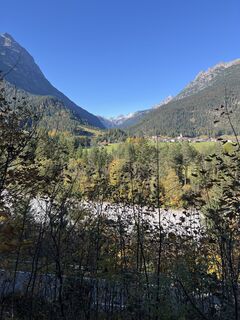
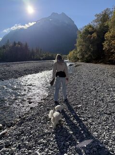
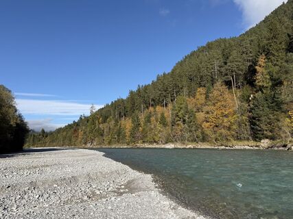
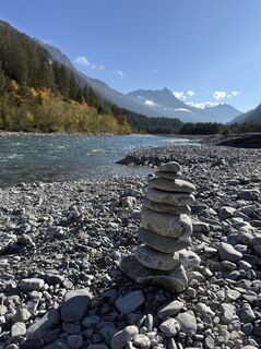
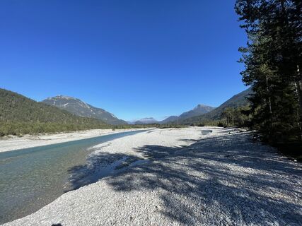
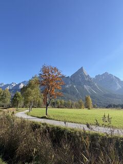
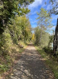
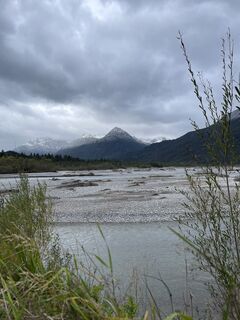
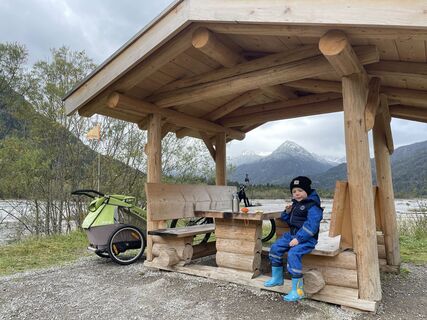
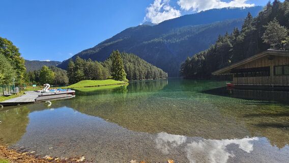
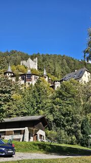
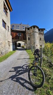
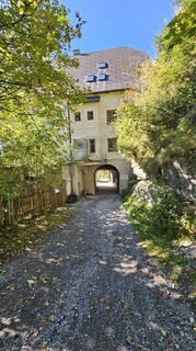
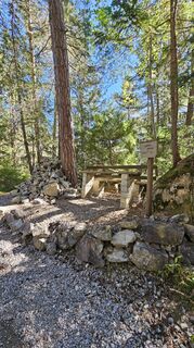
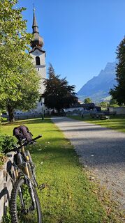
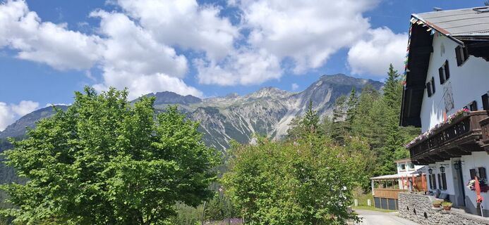
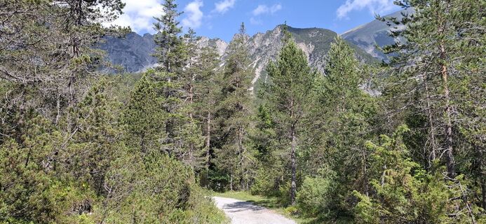
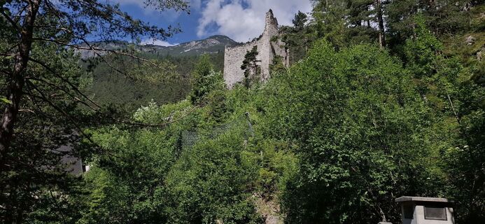
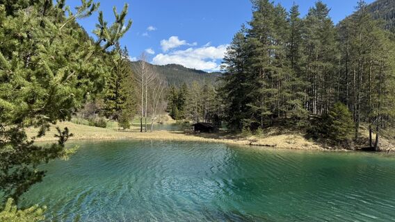
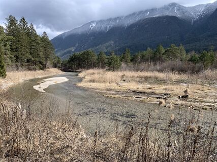
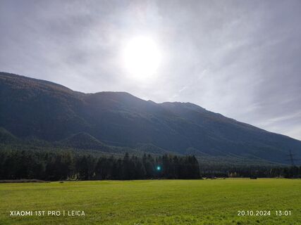
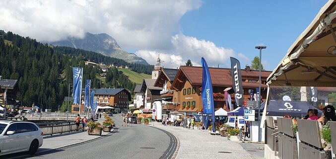
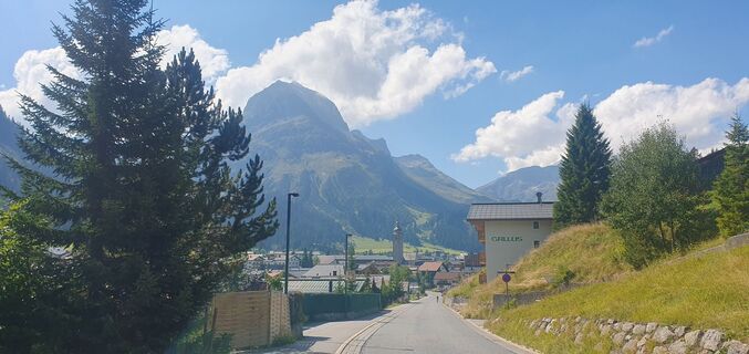
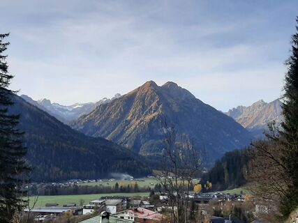
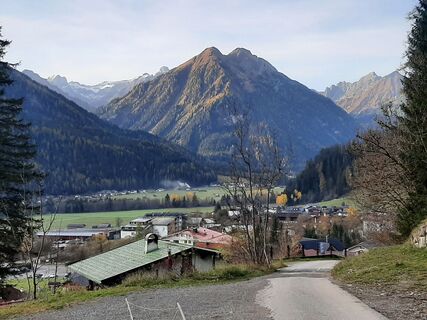
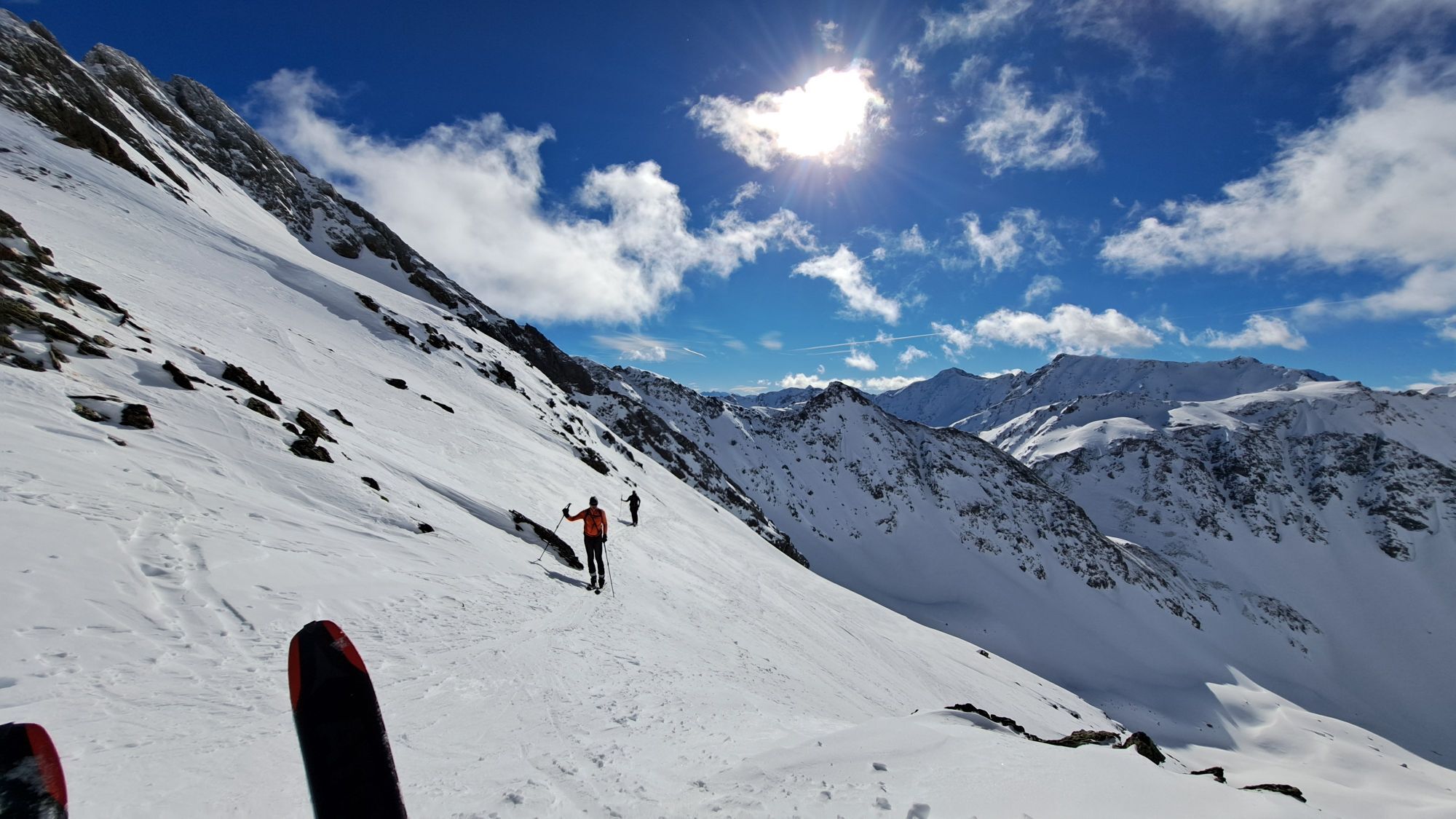
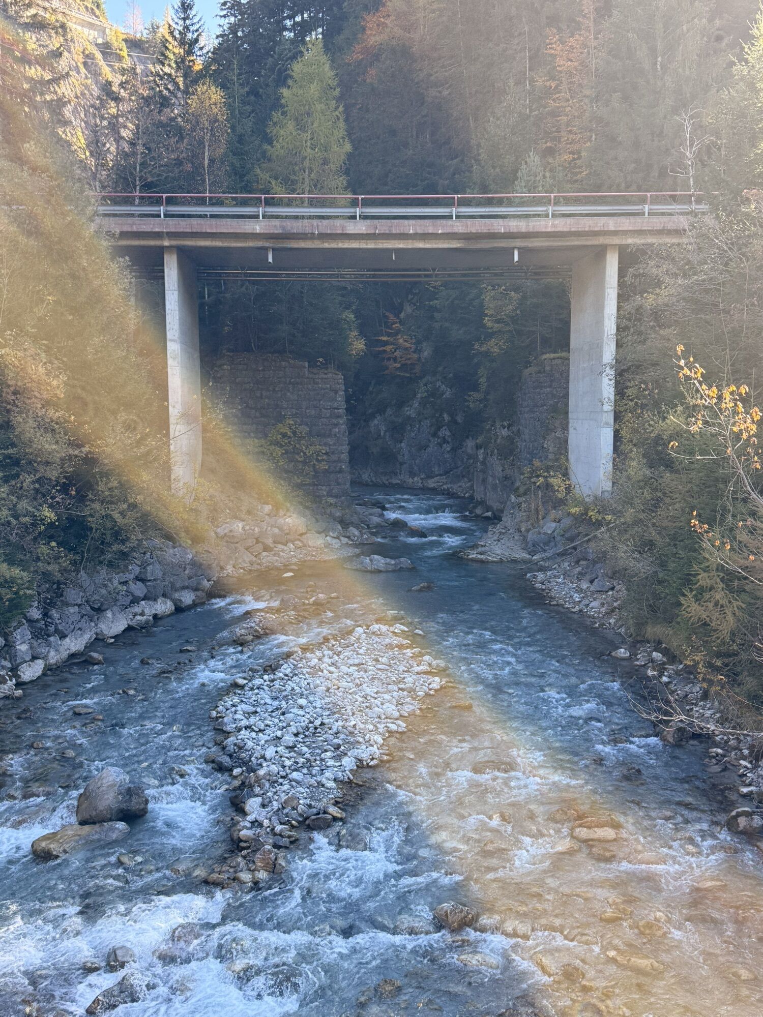
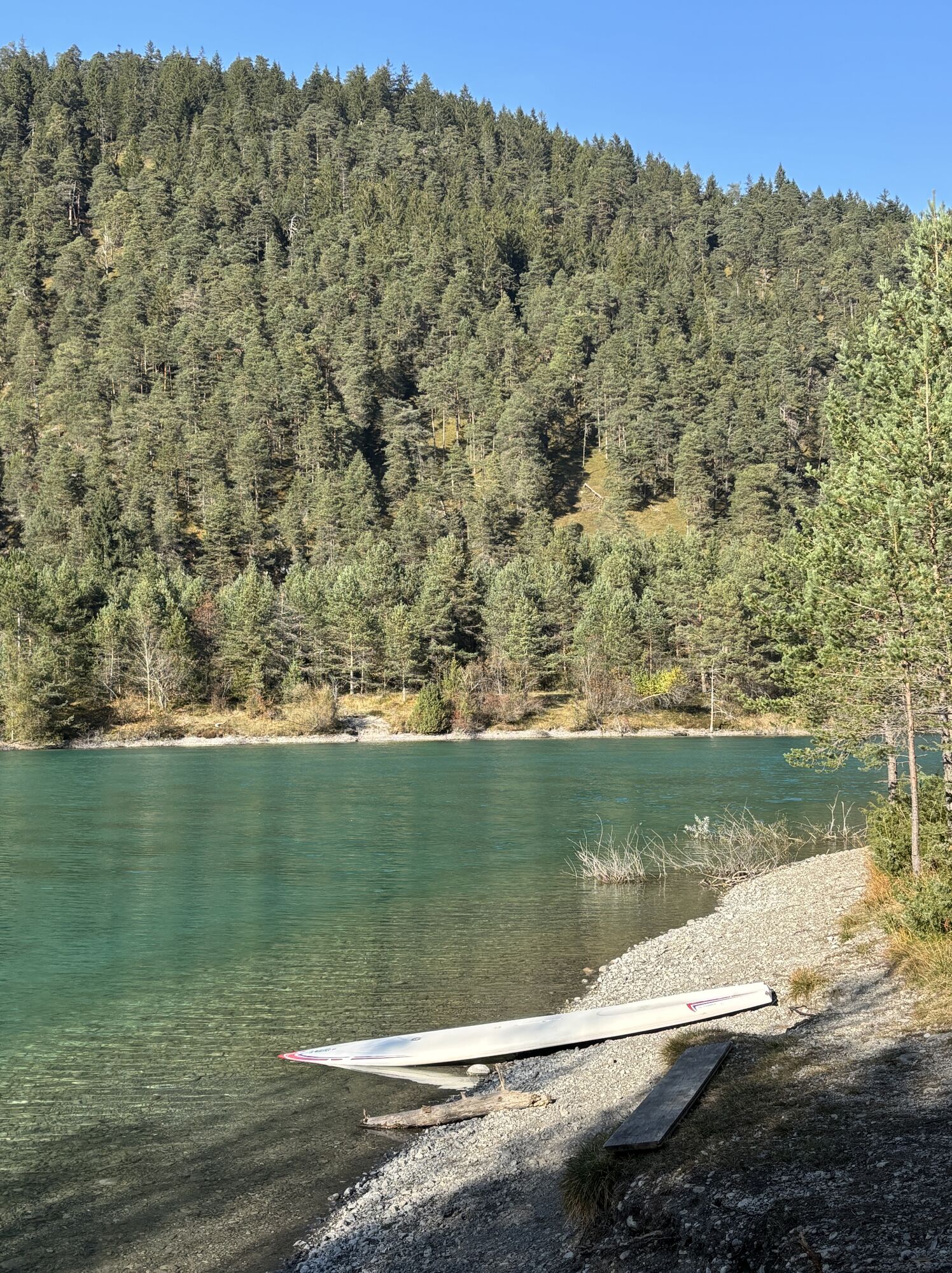
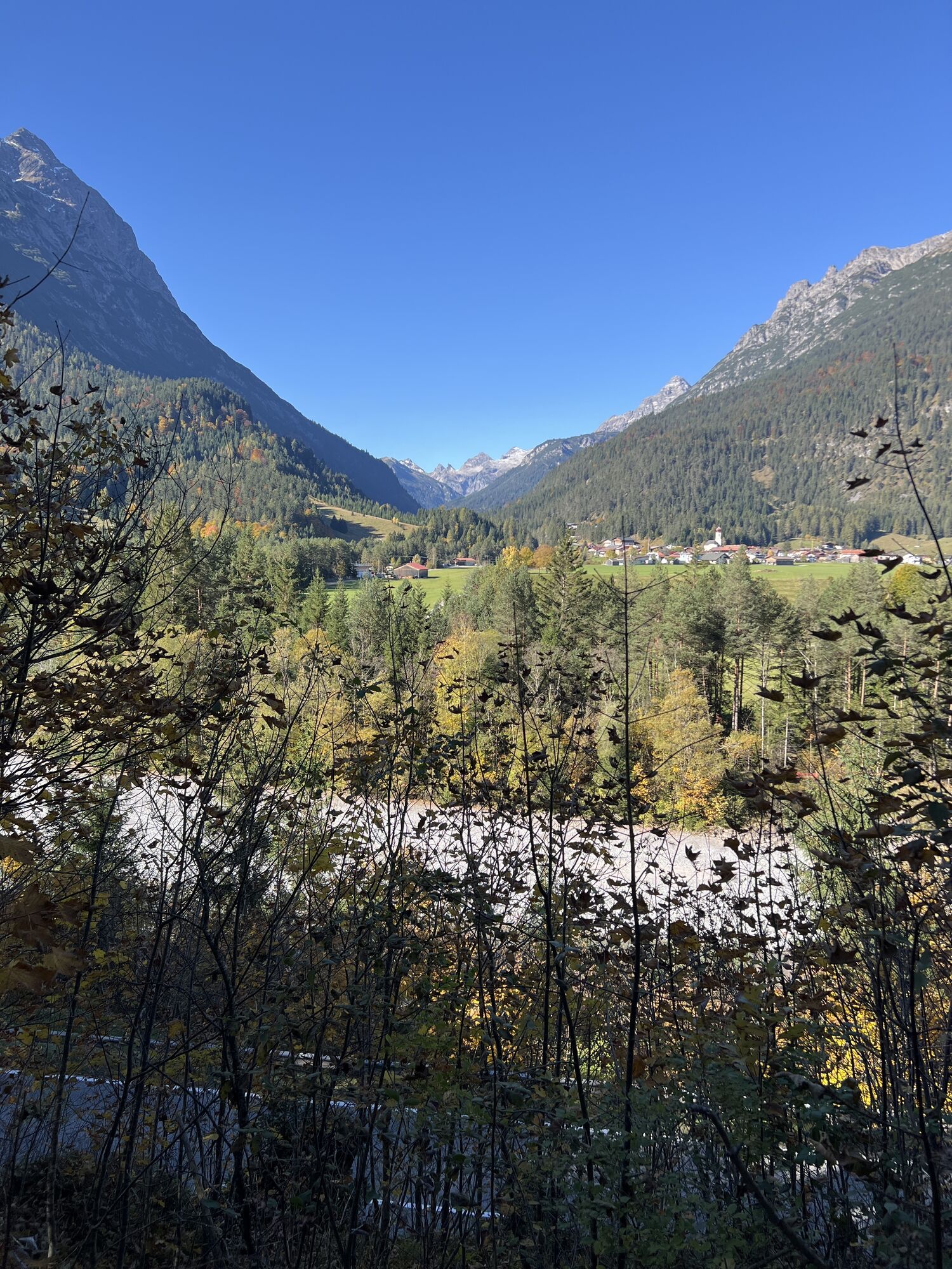
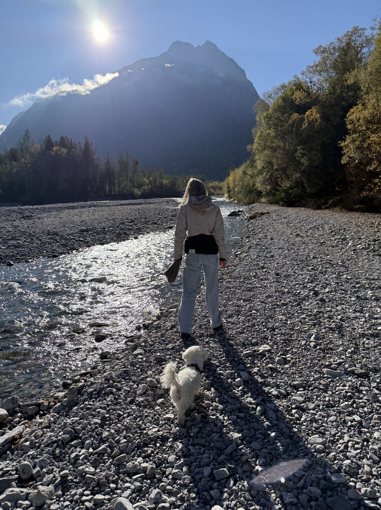
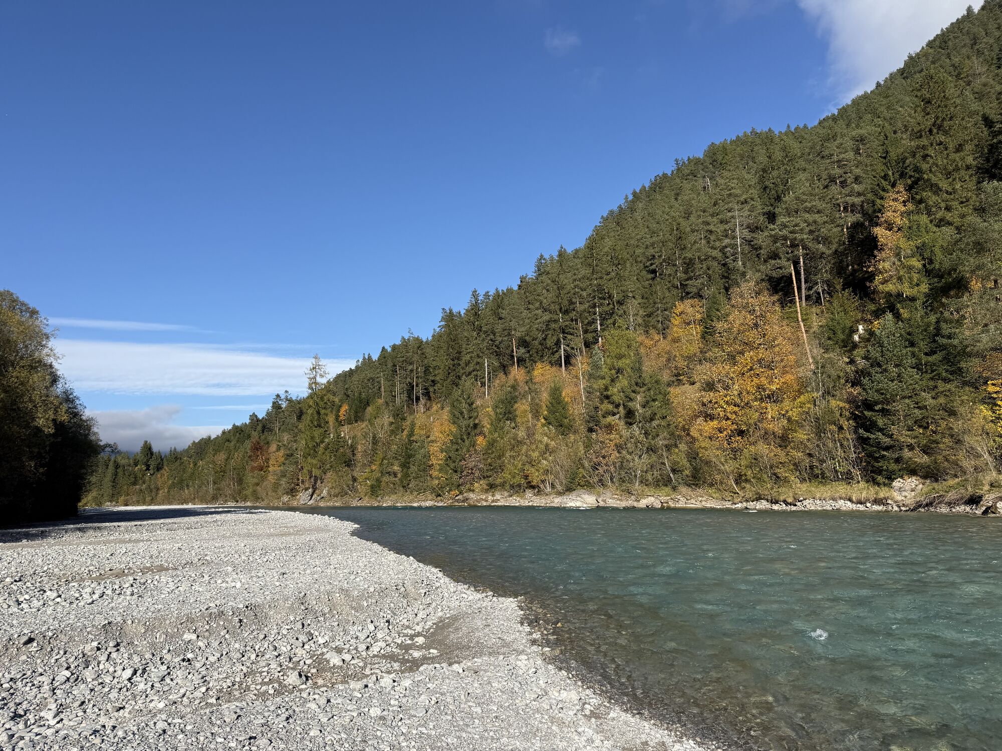
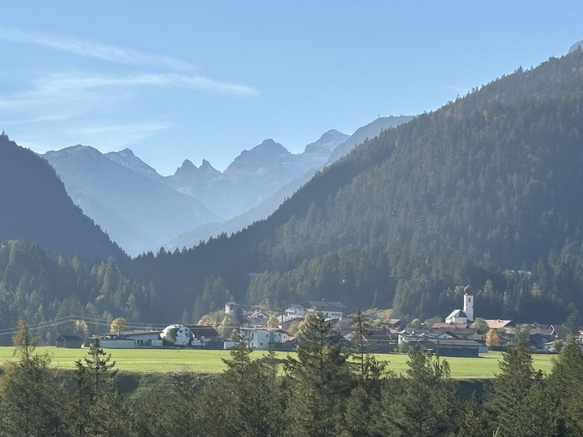
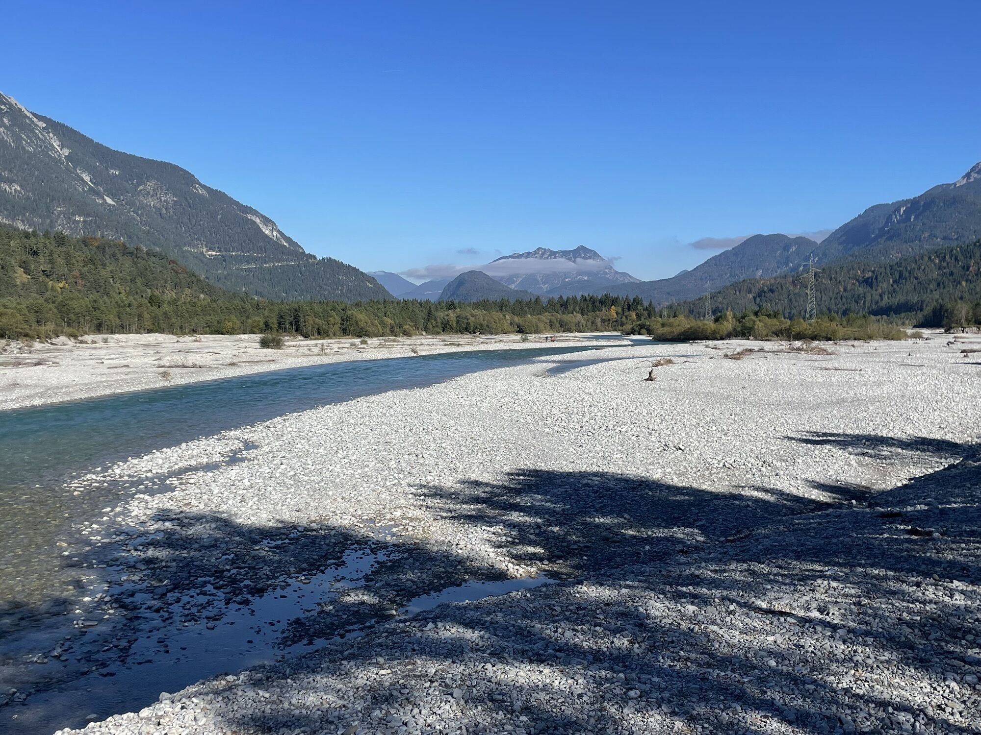
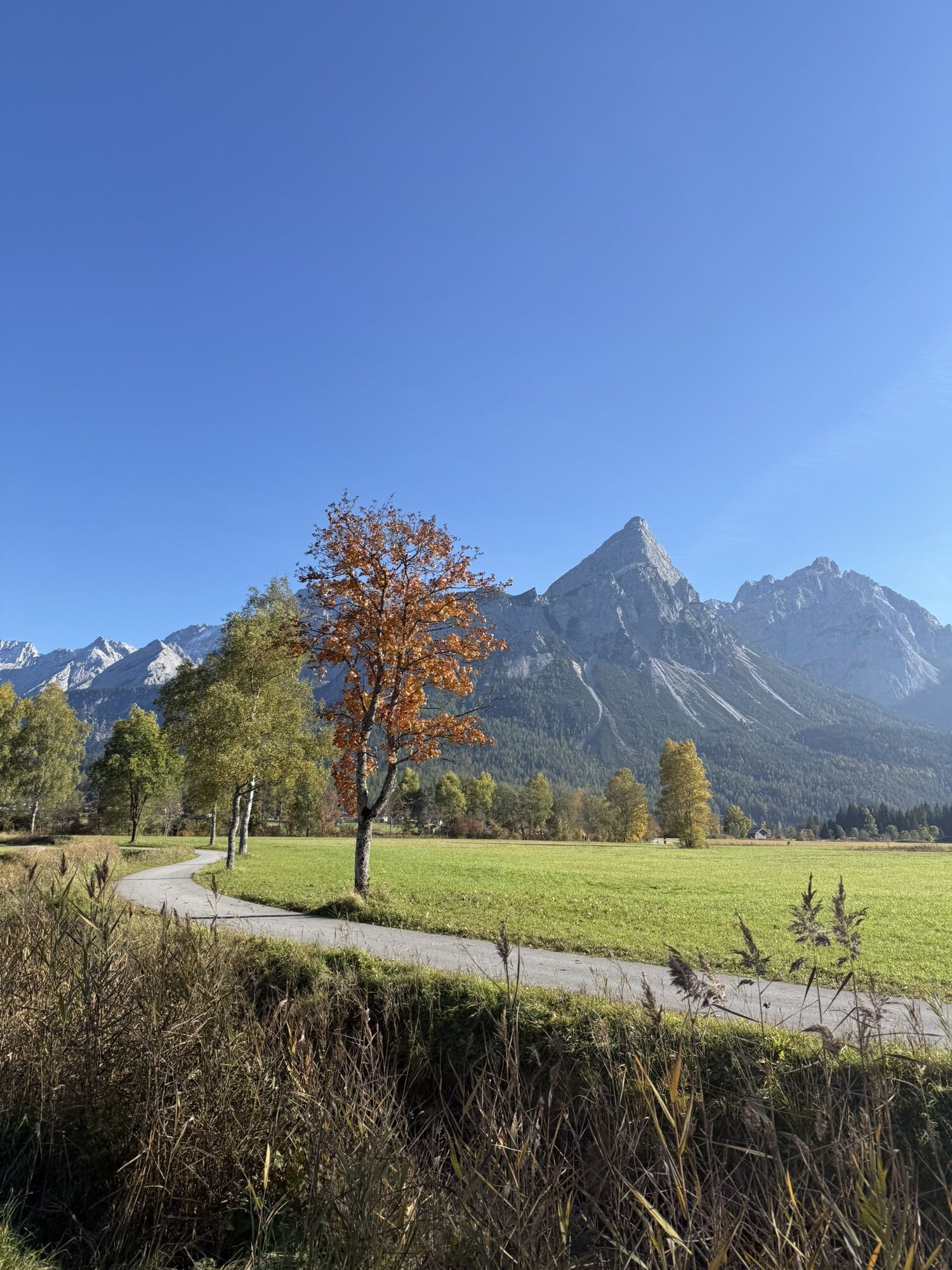
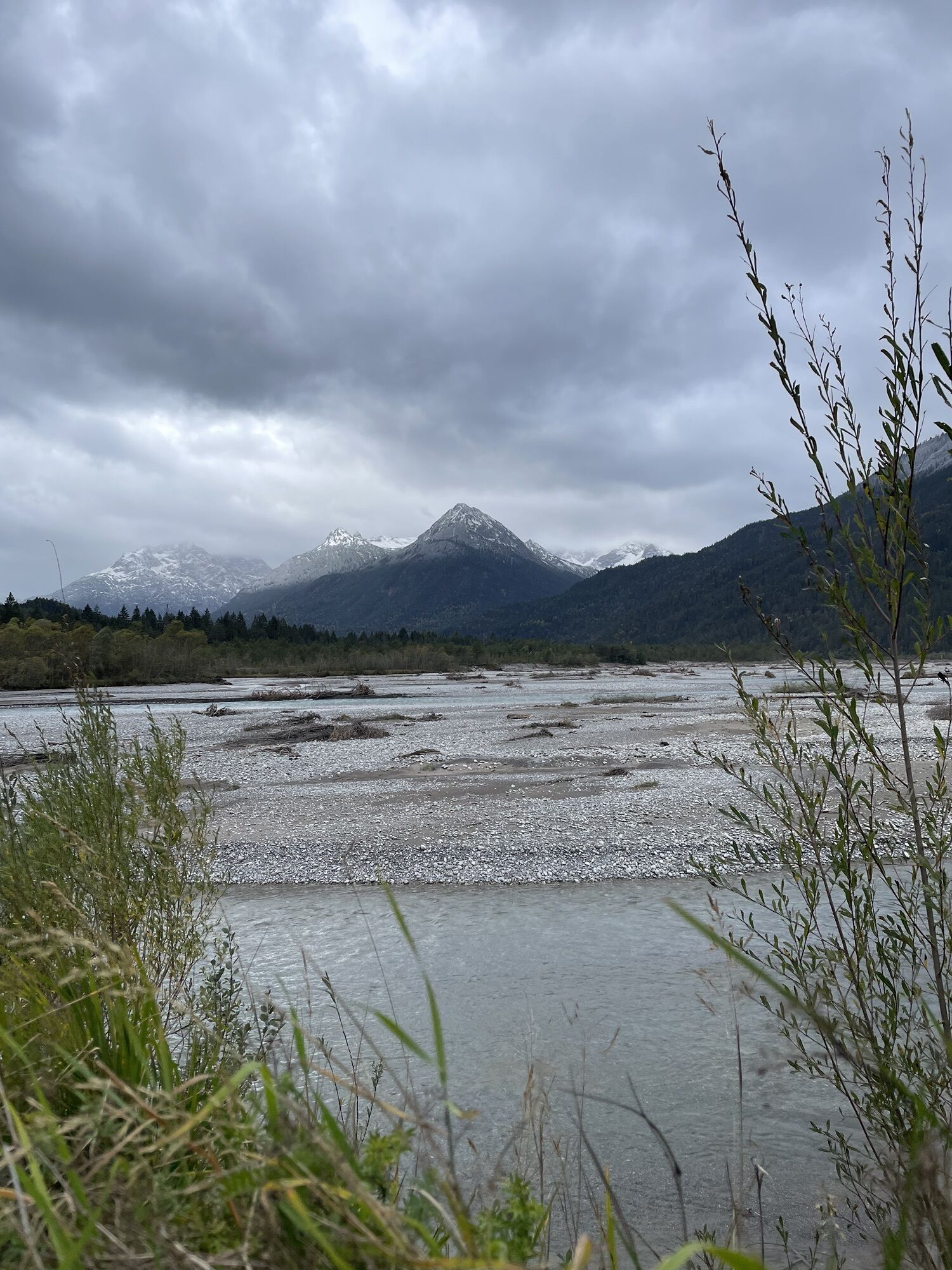
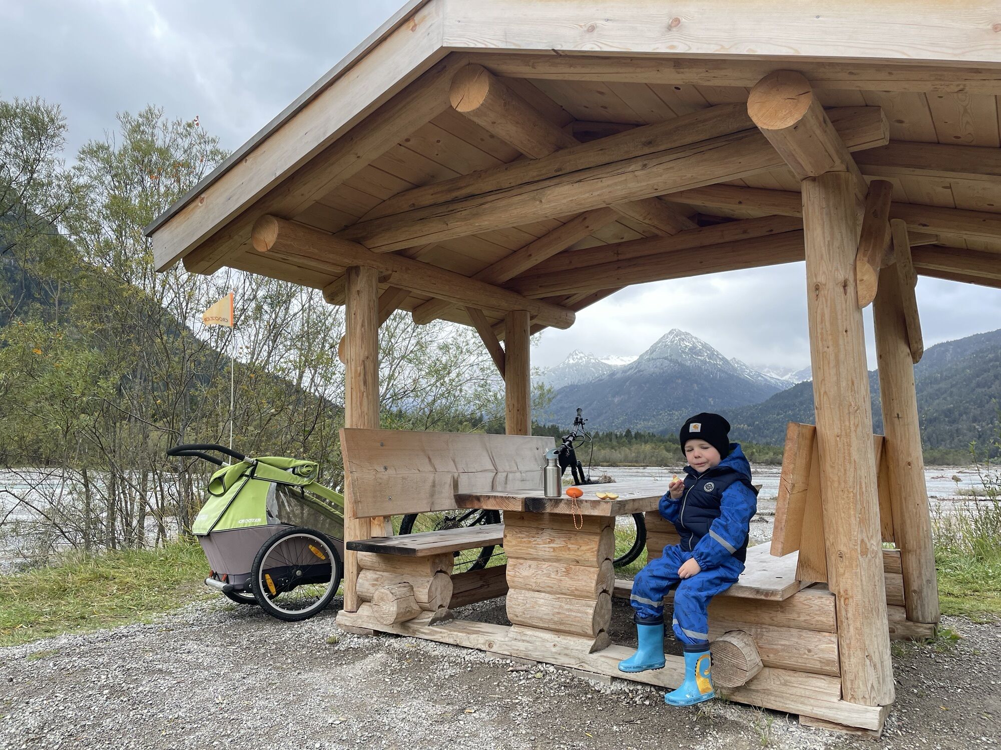
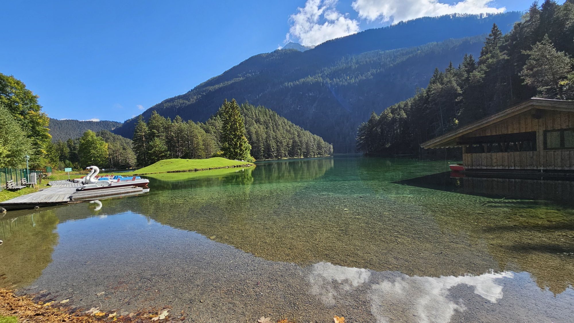
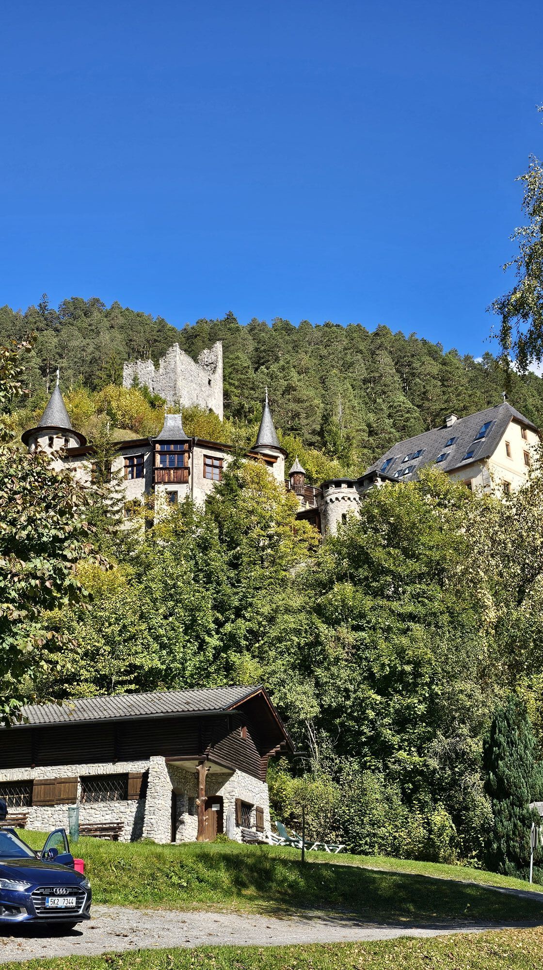
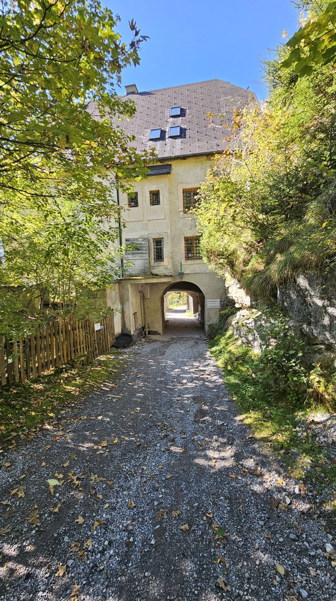
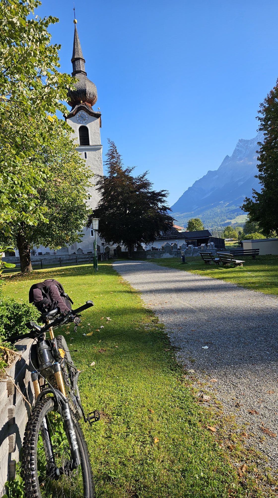
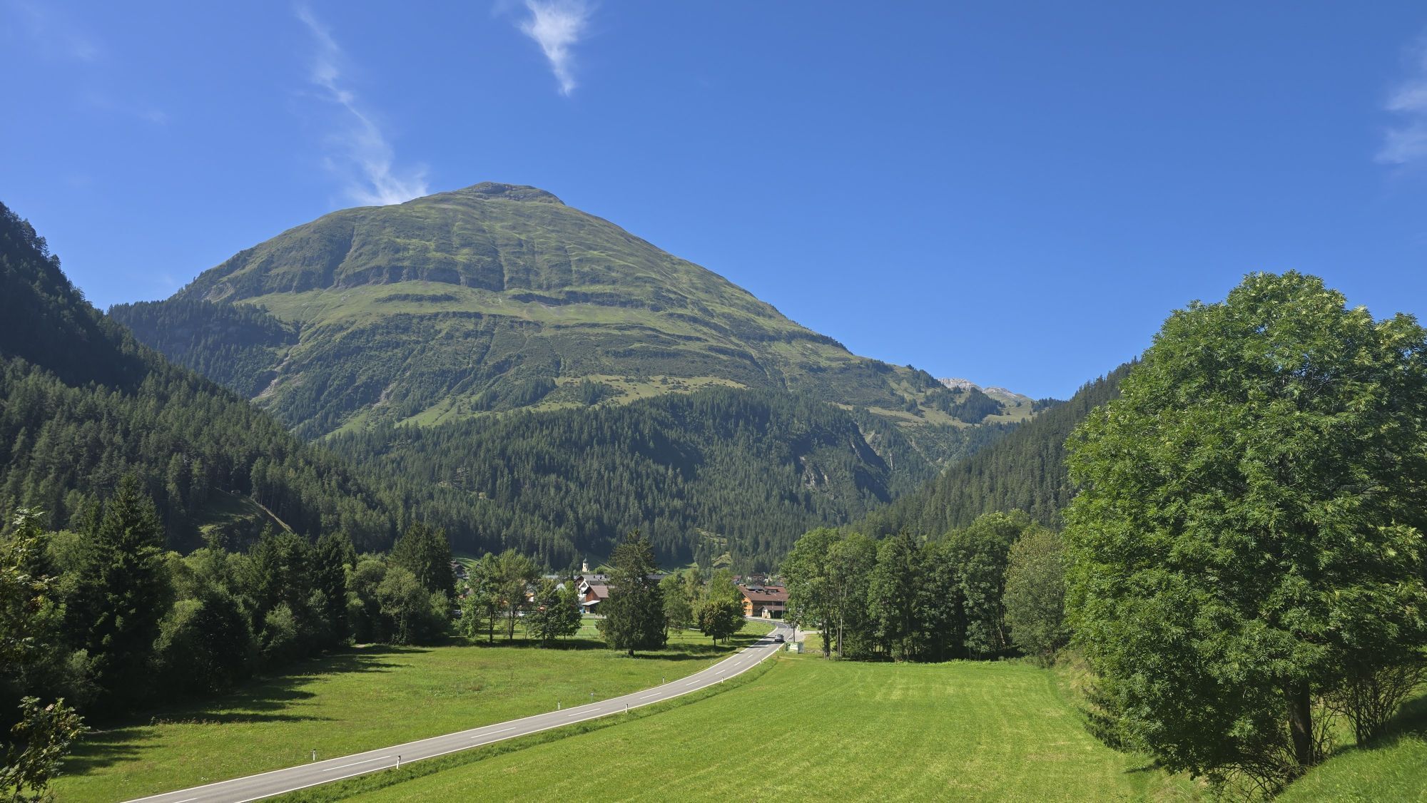
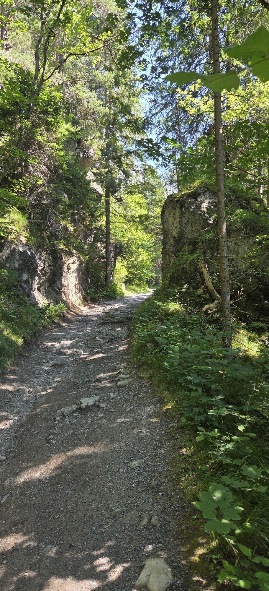
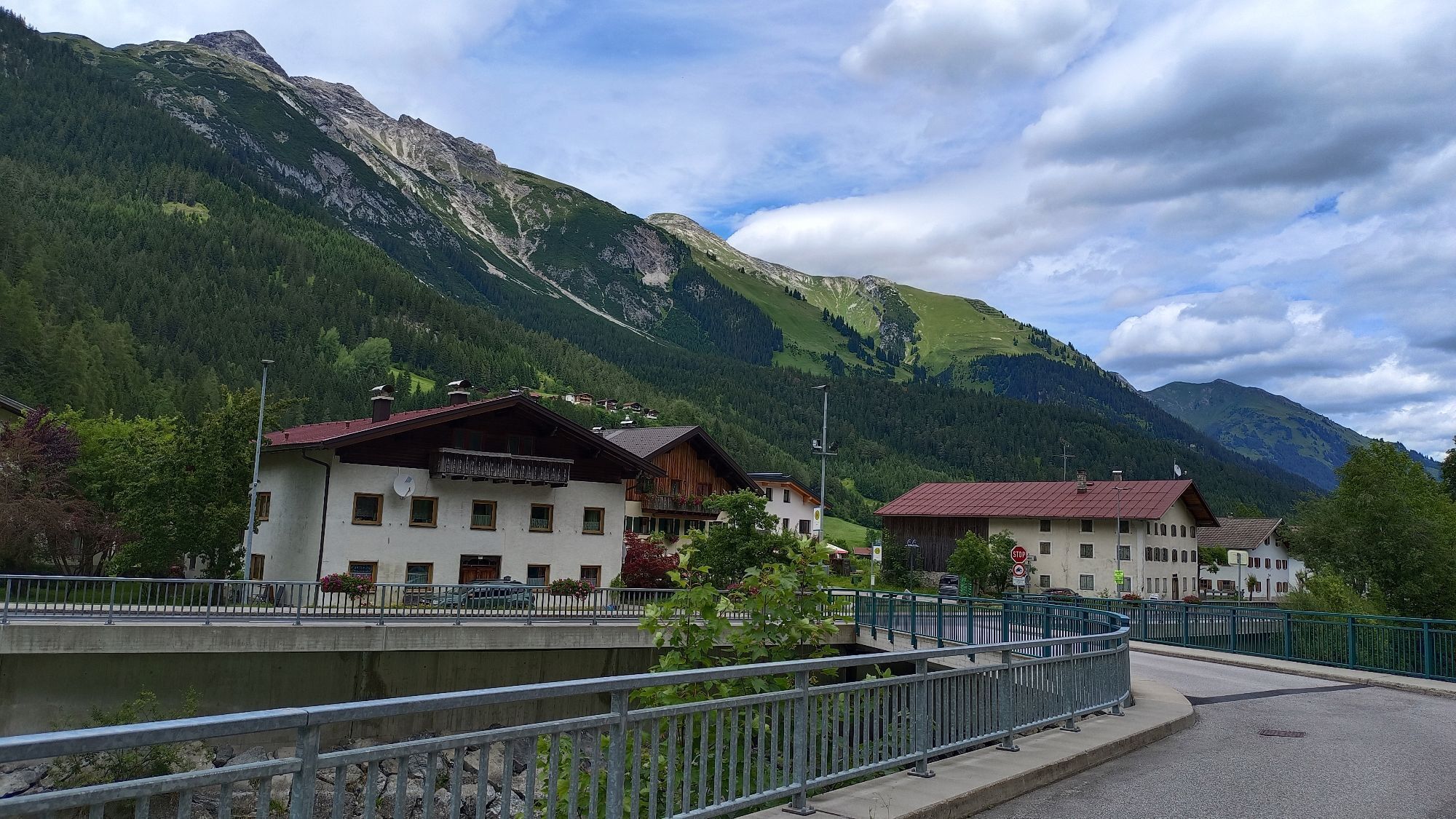
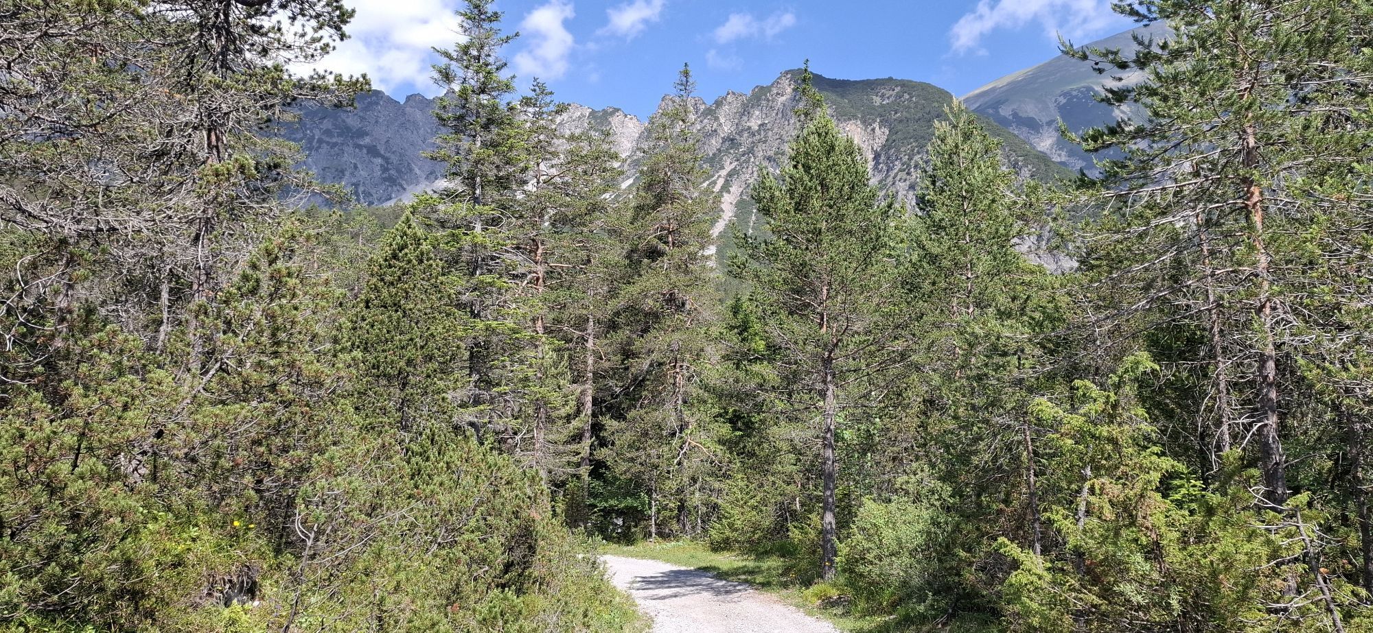
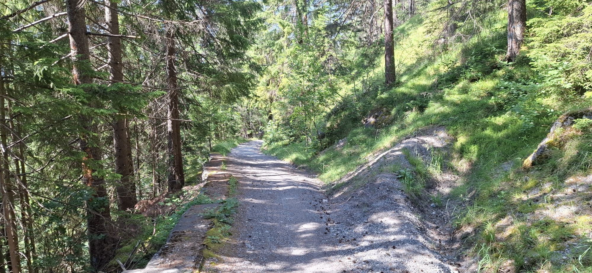
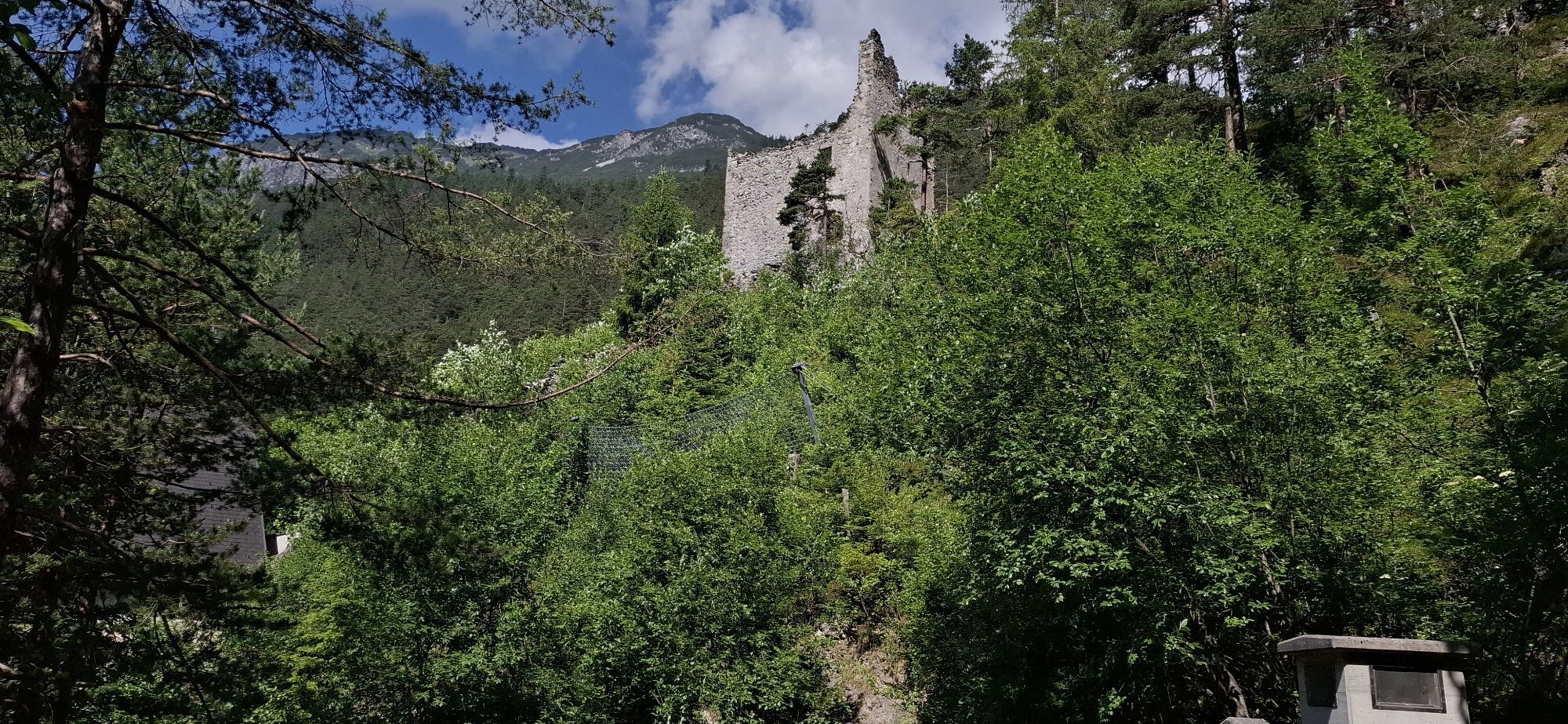
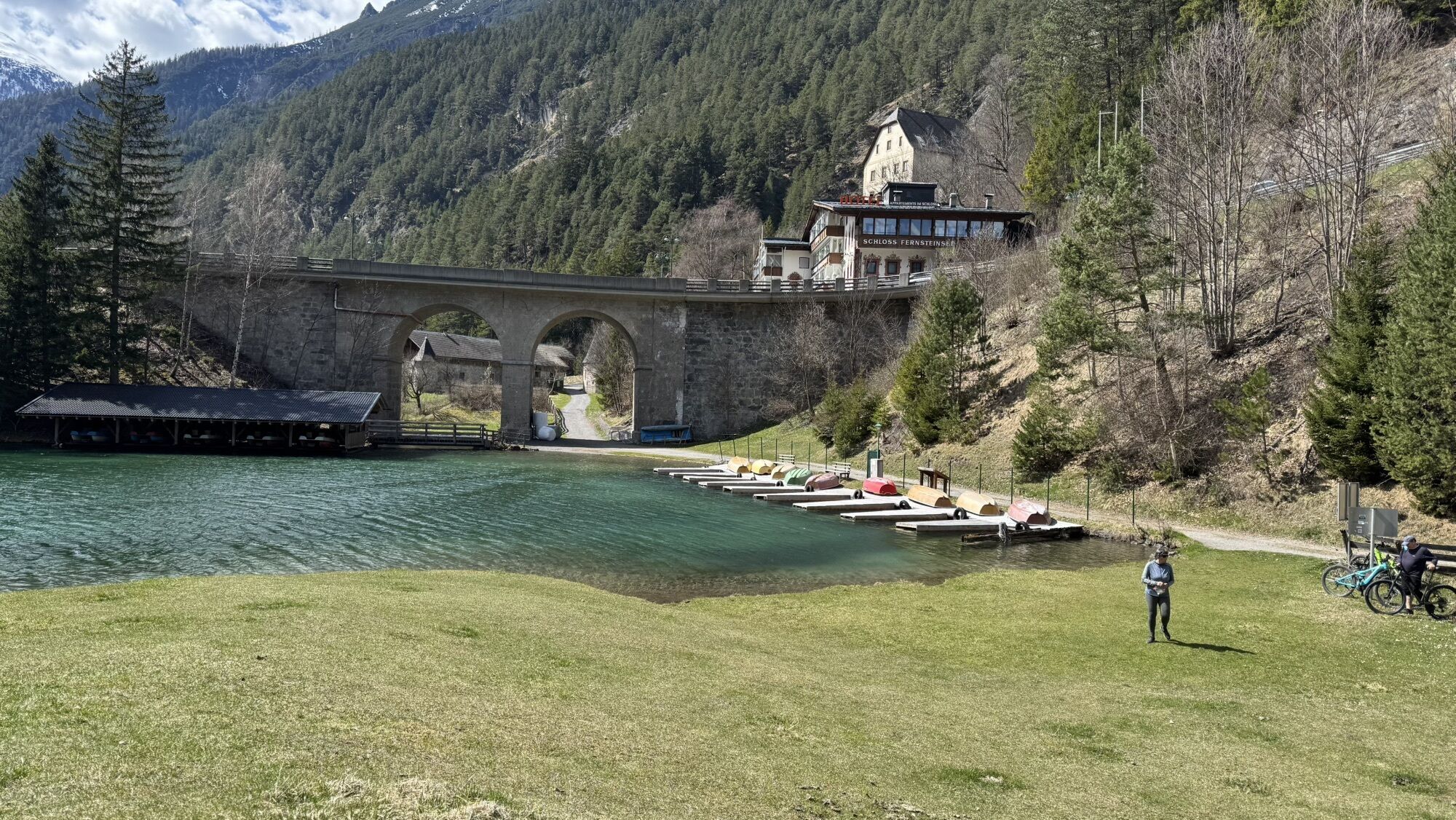
Photos from our users
-

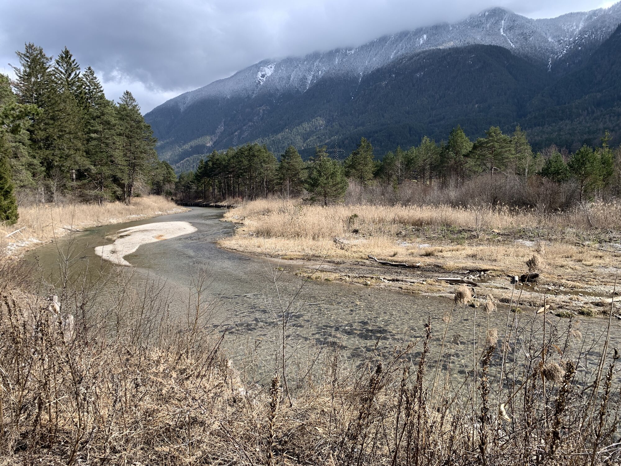
 © Klaus NeuholdCreated on 03.02.2024
 -
 © Damian SzostekCreated on 18.10.2025
 -
 © Damian SzostekCreated on 18.10.2025
 -

 © WalterLeitgebCreated on 17.10.2025
 -
 © Eduard SteinlechnerCreated on 15.10.2025
 -
 © Carolin HauserCreated on 14.10.2025
 -
 © Carolin HauserCreated on 14.10.2025
 -
 © Carolin HauserCreated on 14.10.2025
 -
 © WalterLeitgebCreated on 13.10.2025
 -
 © Astrid Huttner 1Created on 12.10.2025
 -
 © Astrid Huttner 1Created on 12.10.2025
 -
 © Astrid Huttner 1Created on 12.10.2025
 -
 © Christoph GuemCreated on 11.10.2025
 -
 © DavidCreated on 07.10.2025
 -
 © DavidCreated on 05.10.2025
 -
 © DavidCreated on 05.10.2025
 -
 © RotwildCreated on 02.10.2025
 -
 © RotwildCreated on 02.10.2025
 -
 © RotwildCreated on 02.10.2025
 -
 © RotwildCreated on 02.10.2025
 -
 © RotwildCreated on 02.10.2025
 -
 © RotwildCreated on 02.10.2025
 -
 © Bike RiderCreated on 18.08.2025
 -

 © Andy SchennachCreated on 09.08.2025
 -
 © Paul AlberCreated on 18.07.2025
 -
 © Paul AlberCreated on 18.07.2025
 -
 © Paul AlberCreated on 18.07.2025
 -
 © Paul AlberCreated on 18.07.2025
 -
 © Paul AlberCreated on 18.07.2025
 -
 © Paul AlberCreated on 18.07.2025
 -
 © Paul AlberCreated on 18.07.2025
 -
 © Christian FreythalerCreated on 19.06.2025
 -
 © Christian FreythalerCreated on 19.06.2025
 -
 © Christian FreythalerCreated on 19.06.2025
 -
 © Christian FreythalerCreated on 19.06.2025
 -
 © ChristiansenCreated on 05.04.2025
 -
 © ChristiansenCreated on 05.04.2025
 -
 © Werner FögerCreated on 17.03.2025
 -

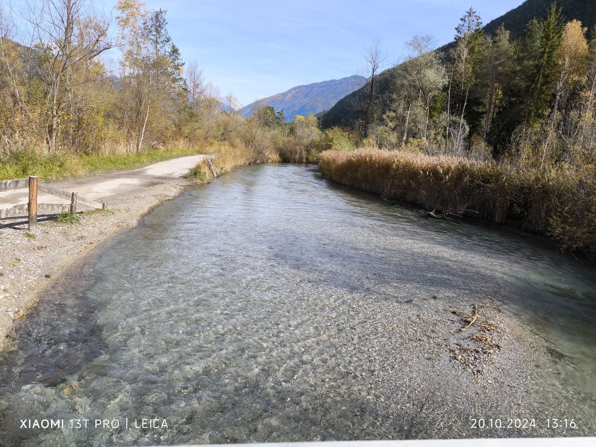
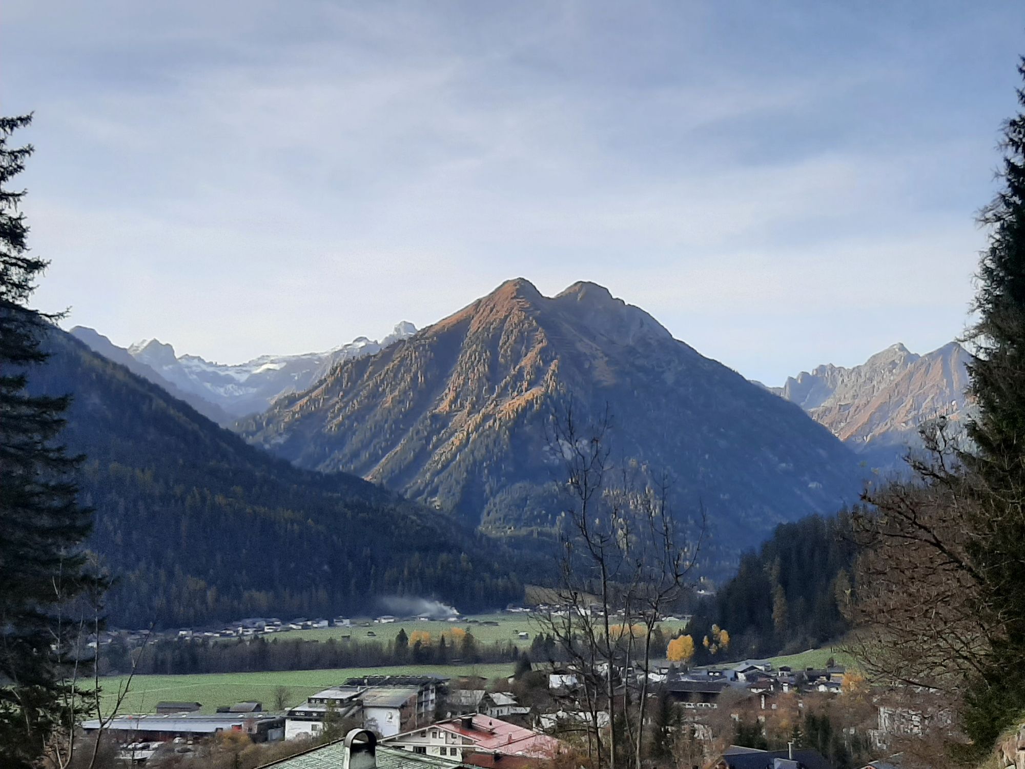
 © Karl-HeinzCreated on 20.10.2024
 -
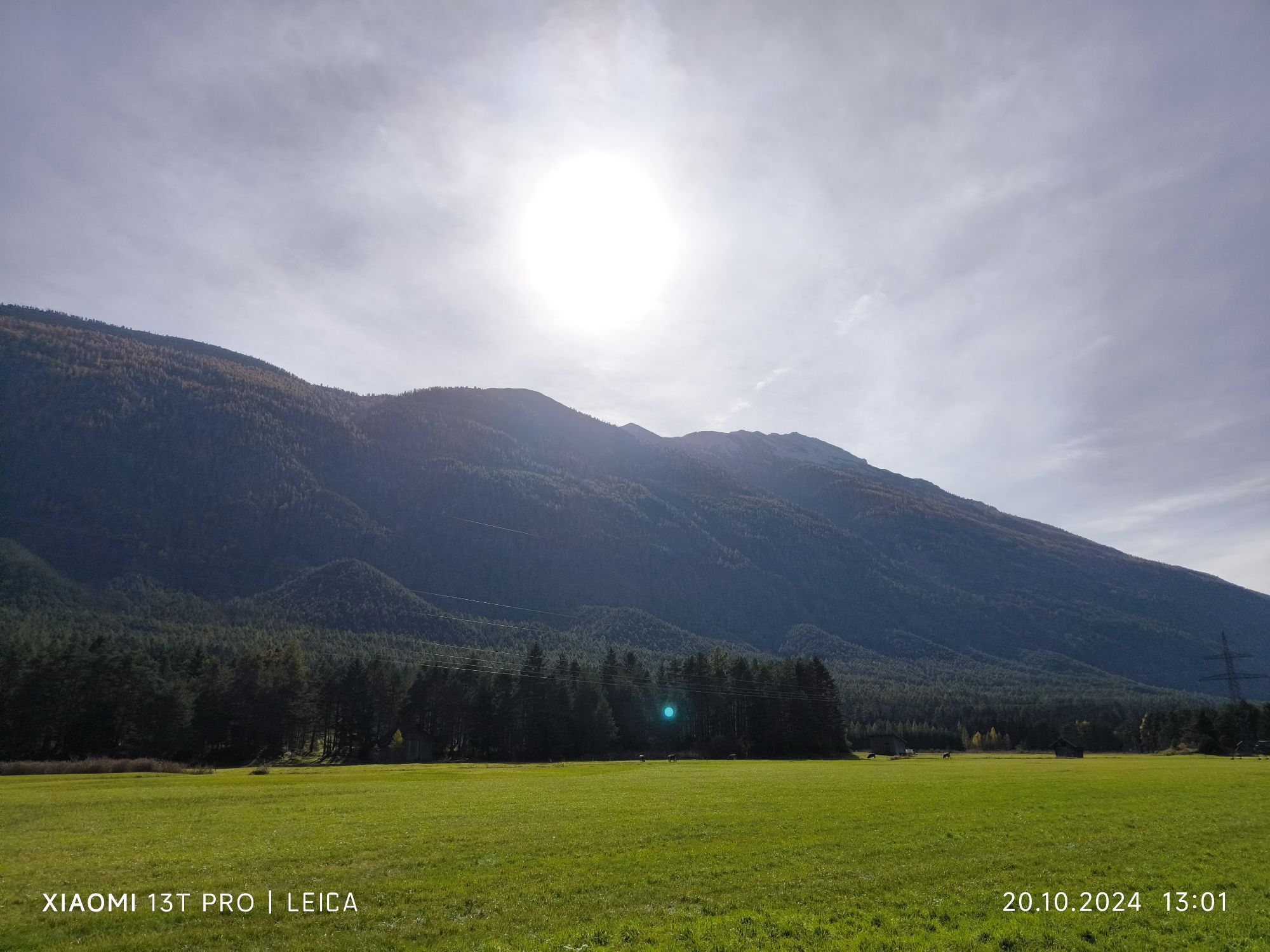
 © Karl-HeinzCreated on 20.10.2024
 -

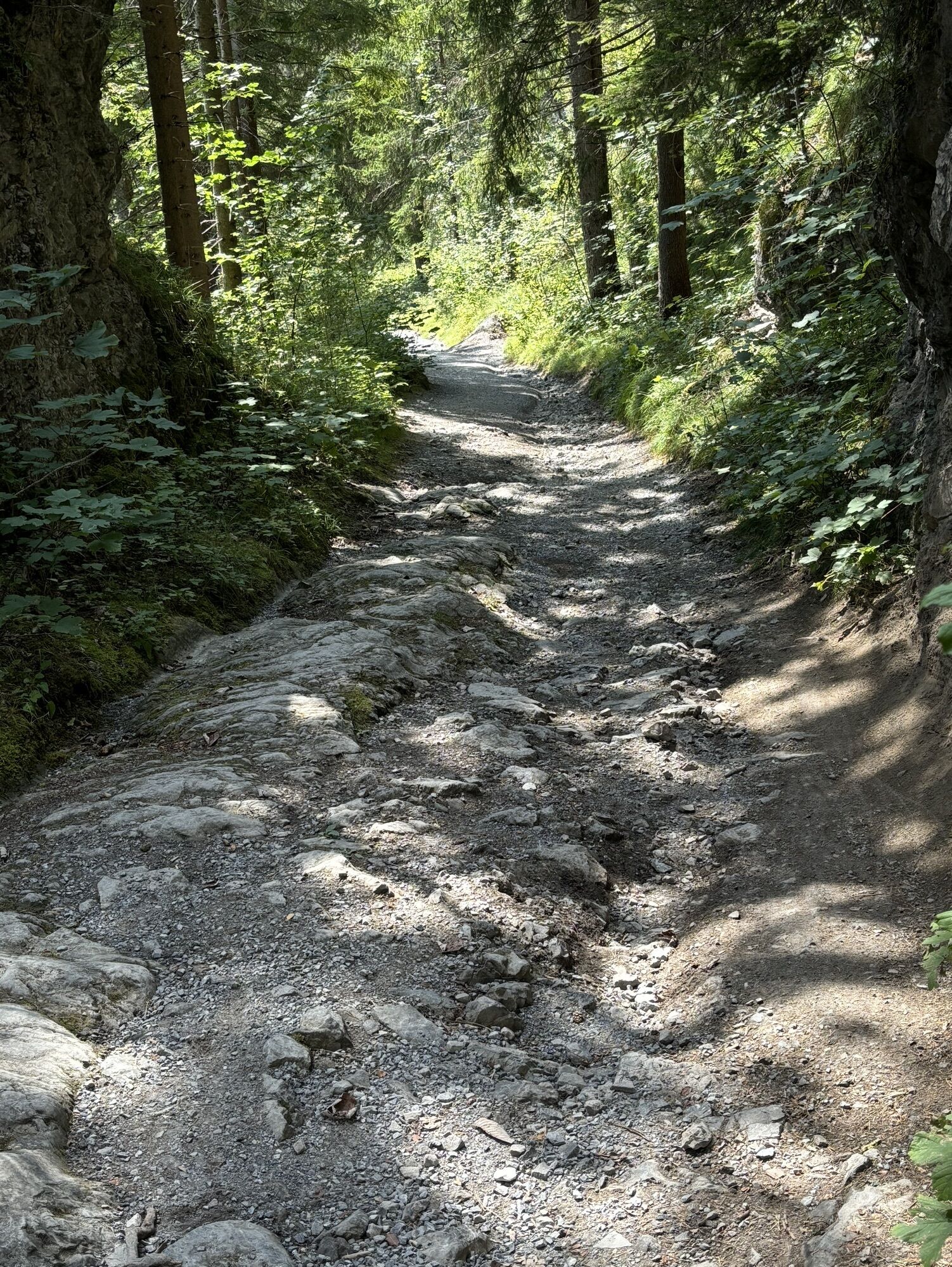
 © Ruth DurachCreated on 28.08.2024
 -
 © Heinrich GrathwohlCreated on 08.09.2023
 -
 © Heinrich GrathwohlCreated on 08.09.2023
 -
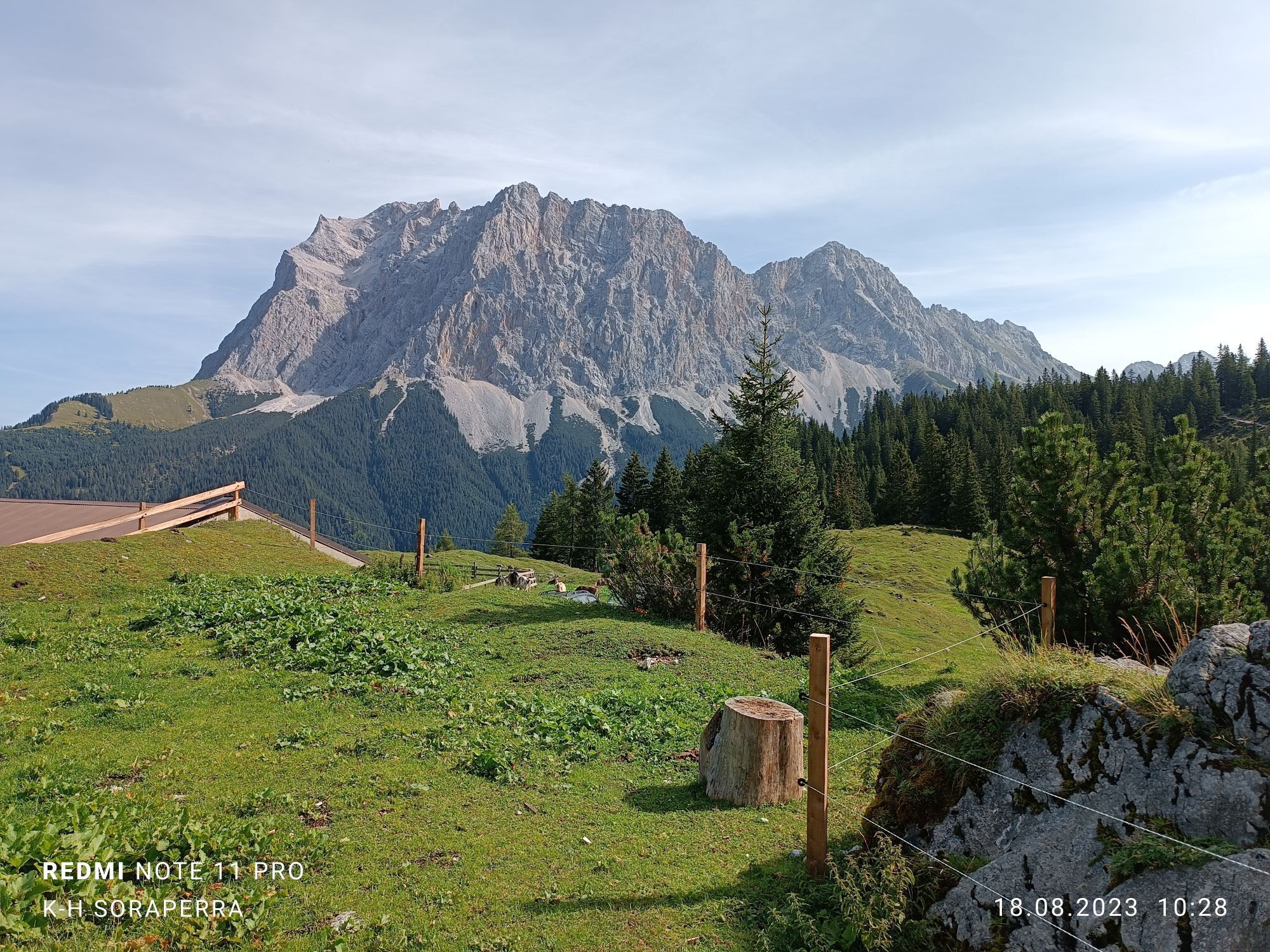
 © Karl-HeinzCreated on 18.08.2023
 -
 © Klaus NeuholdCreated on 03.02.2024
 -
 © Joaef HarraßerCreated on 28.10.2022
 -
 © Joaef HarraßerCreated on 28.10.2022
 -
 © Joaef HarraßerCreated on 28.10.2022


Route
Gotikkirche Hl. Nikolaus
(1,444 m)
Place of worship
20.7 km
Sebastian-und-Rochus-Kirche
(1,107 m)
Place of worship
38.6 km
St. Sebastian
(910 m)
Place of worship
72.9 km
Fernpass
(1,216 m)
Mountain pass
110.7 km
Kapuzinerkirche
(788 m)
Place of worship
131.9 km
Pfarrkirche zum Hl. Andreas
(767 m)
Place of worship
148.0 km
Pfarrkirche Hl. Dreifaltigkeit
(856 m)
Place of worship
155.4 km
Route
St. Anton – Lech – Elbigenalp – Elmen (Naturparkhaus) – Burg Ehrenberg – Retour über Fernpass
heavy
Cycling
177.94
km
St. Anton am Arlberg
(1,284 m)
Village
0.2 km
St. Christoph
(1,765 m)
Village
6.0 km
Christophoruskapelle
(1,767 m)
Place of worship
6.0 km
Materialseilbahn Ulmer Hütte
(1,730 m)
Gondola station
7.5 km
Alpe Rauz
(1,628 m)
Settlement
9.2 km
Rasthaus Valfagehr
(1,601 m)
Restaurant
9.7 km
Stuben
(1,409 m)
Village
10.4 km
Flexenhäusl
(1,773 m)
Restaurant
12.8 km
Zürs
(1,717 m)
Village
14.2 km
Arlberghaus - Walserstube
(1,714 m)
Restaurant
14.2 km
Materialseilbahn Trittalpe
(1,700 m)
Gondola station
14.7 km
Lech
(1,444 m)
Village
20.3 km
Gotikkirche Hl. Nikolaus
(1,444 m)
Place of worship
20.7 km
Materialseilbahn Gaisbachalpe
(1,433 m)
Gondola station
23.1 km
Materialseilbahn Bürstegg
(1,450 m)
Gondola station
24.0 km
Materialseilbahn Tristelleralpe
(1,450 m)
Gondola station
24.0 km
Teschenberg
(1,434 m)
Settlement
27.0 km
Bildegg
(1,482 m)
Settlement
27.1 km
Warth
(1,495 m)
Village
27.3 km
Gehren
(1,417 m)
Settlement
28.1 km
Prenten
(1,141 m)
Settlement
35.4 km
Hinterellenbogen
(1,173 m)
Settlement
35.8 km
Welzau
(1,123 m)
Settlement
36.5 km
St. Oswald
(1,124 m)
Place of worship
36.9 km
Serble
(1,128 m)
Neighbourhood
36.9 km
Knopplig
(1,126 m)
Neighbourhood
37.0 km
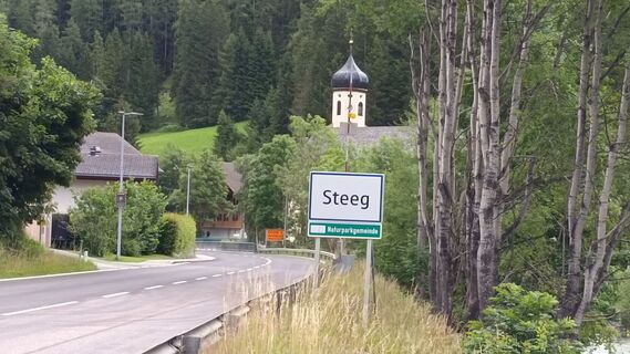
Steeg
(1,124 m)
Village
37.5 km
Dickenau
(1,115 m)
Neighbourhood
37.5 km
Hotel Post
(1,115 m)
Restaurant
37.6 km
Gasthof Schwarzer Adler
(1,109 m)
Restaurant
38.6 km
Sebastian-und-Rochus-Kirche
(1,107 m)
Place of worship
38.6 km
Friedhofskapelle
(1,106 m)
Place of worship
38.7 km
Hotel Styrolerhof
(1,098 m)
Restaurant
40.2 km
Dürnau
(1,096 m)
Settlement
40.8 km
Stockach
(1,070 m)
Village
45.0 km
Pfarrkirche Stockach
(1,070 m)
Place of worship
45.0 km
Gasthof Alte Schule
(1,068 m)
Restaurant
45.1 km
Kapelle Maria Heimsuchung
(1,064 m)
Place of worship
45.8 km
Unterstockach
(1,066 m)
Settlement
45.9 km
Grüner Baum
(1,059 m)
Restaurant
47.3 km
Gasthof Post
(1,057 m)
Restaurant
47.4 km
Obergiblen
(1,052 m)
Village
48.2 km
Ölbergkapelle
(1,096 m)
Place of worship
52.4 km
Elbigenalp
(1,039 m)
Village
52.6 km
Grießau
(1,028 m)
Village
54.9 km
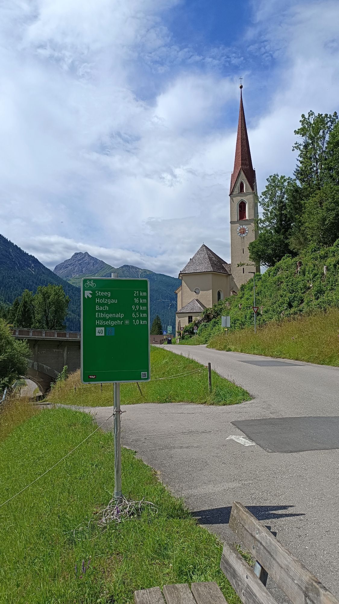
Häselgehr
(1,006 m)
Village
57.2 km
Pfarrkirche St. Martin
(1,006 m)
Place of worship
57.7 km
Elmen
(976 m)
Village
62.9 km
14-Nothelfer Kapelle
(963 m)
Place of worship
64.7 km
Stanzach
(940 m)
Village
68.0 km
Gasthaus Post
(939 m)
Restaurant
68.3 km
Pfarrkirche Stanzach
(939 m)
Place of worship
68.3 km
Blockau
(932 m)
Neighbourhood
69.0 km
St. Sebastian
(910 m)
Place of worship
72.9 km
Forchach
(910 m)
Village
73.0 km
Weißenbach am Lech
(885 m)
Village
78.3 km
Rieden
(883 m)
Settlement
80.4 km
Gasthaus Kreuz
(882 m)
Restaurant
80.4 km
Kapelle zum hl. Georg
(883 m)
Place of worship
80.5 km
Gasthof Post
(988 m)
Restaurant
88.0 km
Café Restaurant Forellenhof
(984 m)
Restaurant
88.3 km
Heiterwang
(994 m)
Village
88.4 km
Unterdorf
(988 m)
Settlement
88.7 km
Bichlbach
(1,079 m)
Village
92.8 km
Bichlbach-Berwang
(1,072 m)
Railway station
93.2 km
Wengle
(1,083 m)
Village
95.6 km
Lähn
(1,108 m)
Village
96.2 km
Obergarten
(1,102 m)
Village
98.0 km
Untergarten
(1,067 m)
Village
98.9 km
Gasthof Grieserhof
(1,013 m)
Restaurant
99.3 km
Ortskapelle hl. Josef
(1,013 m)
Place of worship
99.4 km
Lermoos
(1,004 m)
Village
101.3 km
Mooskerkerkapelle
(967 m)
Place of worship
101.4 km
Pfarrkirche zum Heiligen Josef
(988 m)
Place of worship
103.8 km
Biberwier
(989 m)
Village
104.0 km
Mösle-Kapelle
(992 m)
Place of worship
104.1 km
Fernpass
(1,216 m)
Mountain pass
110.7 km
Fernpass
(1,212 m)
Settlement
111.3 km
Vierzehn Nothelfer Kapelle
(940 m)
Place of worship
114.6 km
Nassereith
(838 m)
Village
118.4 km
Restaurant Pizzeria Papalina
(836 m)
Restaurant
118.9 km
Restaurant Gurgltalblick
(828 m)
Restaurant
119.6 km
See-Eck
(822 m)
Restaurant
120.8 km
Dollinger Lager
(793 m)
Settlement
124.2 km
Dollinger
(797 m)
Village
124.9 km
Strad
(796 m)
Village
125.8 km
Gasthaus Sonne
(809 m)
Restaurant
128.3 km
Tarrenz
(836 m)
Village
128.3 km
Spielplatz Gasthof Sonne
(808 m)
Playground
128.3 km
Ristorante La Strada
(822 m)
Restaurant
129.0 km
Trinelerkapelle
(819 m)
Place of worship
130.7 km
Johanneskirche
(795 m)
Place of worship
131.4 km
Imst
(827 m)
City
131.7 km
Kapuzinerkirche
(788 m)
Place of worship
131.9 km
Kapuzinereremitage
(784 m)
Place of worship
131.9 km
Hohe Rinne
(834 m)
Corridor/terrain
133.2 km
Gschnallenhöfe
(763 m)
Settlement
134.6 km
Mils bei Imst
(743 m)
Village
138.3 km
Ried
(743 m)
Settlement
138.7 km
Saurs
(731 m)
Settlement
138.8 km
Pension Silberspitze
(732 m)
Restaurant
139.1 km
Öde
(733 m)
Settlement
139.6 km
Dorf
(736 m)
Settlement
140.2 km
Oberhäuser
(739 m)
Settlement
140.7 km
Schönwies
(737 m)
Village
140.9 km
Brandleruan
(748 m)
Corridor/terrain
141.4 km
Schwarze Ead
(745 m)
Corridor/terrain
141.6 km
Starkenbach
(768 m)
Settlement
141.6 km
Bei den Törlen
(774 m)
Corridor/terrain
142.2 km
Hohe Wand
(837 m)
Corridor/terrain
142.6 km
Rabetal
(849 m)
Corridor/terrain
142.6 km
Bettlerkapelle
(765 m)
Place of worship
145.7 km
Postgasthof Gemse
(767 m)
Restaurant
147.8 km
Zams
(767 m)
Village
147.9 km
Pfarrkirche zum Hl. Andreas
(767 m)
Place of worship
148.0 km
Royal Kebap
(773 m)
Restaurant
148.8 km
Kaifenau
(775 m)
Neighbourhood
149.0 km
Hexenwaldele
(796 m)
Corridor/terrain
149.8 km
Öd
(803 m)
Neighbourhood
150.1 km
ATIB Moschee - Türkisch Islamischer Verein
(788 m)
Place of worship
150.4 km
Landeck
(817 m)
City
150.4 km
Burschlkirche
(807 m)
Place of worship
151.0 km
Lourdeskapelle
(803 m)
Place of worship
151.1 km
Bruggen
(784 m)
Settlement
151.5 km
Nepomukkapelle
(790 m)
Place of worship
152.1 km
Bruggner Stub'n
(793 m)
Restaurant
152.2 km
Stampfle
(824 m)
Settlement
152.4 km
Handl Gastro Genusswelt
(839 m)
Restaurant
154.6 km
Pianner Eck
(852 m)
Neighbourhood
155.1 km
St. Margarethen
(877 m)
Neighbourhood
155.3 km
Pians
(856 m)
Village
155.3 km
Pfarrkirche Hl. Dreifaltigkeit
(856 m)
Place of worship
155.4 km
Steig
(1,000 m)
Settlement
159.1 km
Bühele
(1,073 m)
Settlement
159.8 km
Dorf
(1,018 m)
Settlement
160.0 km
Strengen
(1,012 m)
Village
160.1 km
Innerer Grieshof
(1,088 m)
Settlement
160.6 km
Wassermühle
(991 m)
Settlement
160.7 km
Wasserloch
(1,107 m)
Settlement
161.0 km
Klaus
(1,036 m)
Settlement
161.1 km
Säge
(1,030 m)
Settlement
161.9 km
Pardöll
(1,185 m)
Settlement
164.0 km
Lache
(1,127 m)
Settlement
164.9 km
Troschana
(1,130 m)
Restaurant
165.3 km
Flirsch
(1,154 m)
Village
165.7 km
Schnann
(1,184 m)
Village
167.9 km
Pettneu am Arlberg
(1,222 m)
Village
170.9 km
Grillplatz und Biotop Vadiesen
(1,203 m)
Picnic table
172.5 km
Sankt Jakob am Arlberg
(1,291 m)
Village
175.2 km
St. Anton am Arlberg
(1,284 m)
Village
177.8 km
No reviews yet
Webcams of the tour
-
Sonnalmbahn
-
Grubig Alm
-
Valluga
-
Gasthof Traube
-
Flühenlift
-
Galzig Bergstation
-
Gampen
-
Skicenter
-
Rendl
-
Warth / Hotel Walserberg
-
Tiroler Zugspitze - Golf-Anlage
-
Skihütte Zams
-
Lermoos
-
Höfen Flugplatz
-
Höfen Flugplatz
-
Oberlech
-
Zürs - Trittkopf Bergstation
-
Zürs - Seekopf
-
Rud-Alpe
-
Oberlech - Hotel Goldener Berg
-
Mindelheimer Hütte
-
Wettersteinbahnen
-
Wettersteinbahnen - Gamsalm Ehrwald
-
Hotel Schönauerhof
-
Bach Hotel-Gasthof Alpenblick
-
Weißenbach - Hotel Florence
-
Holzgau Wohlfühlhotel Berg Heil
-
Holzgau - Pension Knitel
-
Grubigstein
-
St. Christoph
-
Hochalphütte
-
Lech am Arlberg - Pension Bergland
-
Tiroler Zugspitze - Golf-Anlage
-
Tiroler Zugspitze - Golf-Anlage
-
Tiroler Zugspitze - Golf-Anlage
-
Tiroler Zugspitze - Golf-Anlage
-
Tiroler Zugspitze - Golf-Anlage
-
Tiroler Zugspitze - Golf-Anlage
-
Salober Ski Arena
-
Egghof Sunjet
Popular tours in the neighbourhood
-
4.9
Holzgau zur Rossgumpenalm
mediumHiking 4.09 km -
3.6
Augsburger Hütte - Parseierspitze
heavyHiking 7.74 km -
5.0
Hinterhornbach - Petersbergalm
lightHiking 11.3 km -
Drei Hütten und ein spannender Steig
mediumHiking 7.45 km -
4.8
Sulzalm
mediumHiking 9.17 km -
4.5
E5 - 3. Etappe: Memminger Hütte - Zams
mediumLong-distance walking trail 14.8 km -
3.5
Falschkogel über Steinjöchl, Tirol/Österreich
mediumHiking 5.04 km -
4.8
Wanderung von Gramais zum wunderschönen Kogelsee.
mediumHiking 7.30 km -
4.5
Elbigenalp - Geierwally-Rundwanderweg
lightHiking 7.16 km -
3.0
Elmen-Stablalm
mediumHiking 4.77 km
Hiking & Tracking

Over 550.000 tour suggestions, detailed maps and an intuitive route planner make the app a must-have for all nature enthusiasts.

Don't miss out on offers and inspiration for your next holiday
Subscribe to the newsletter
Error
An error has occurred. Please try again.
Thank you for your registration
Your e-mail address has been added to the mailing list.
Tours throughout Europe
Austria
Switzerland
Germany
Italy
Slovenia
France
Netherlands
Belgium
Poland
Liechtenstein
Czechia
Slovakia
Spain
Croatia
Bosnia and Herzegovina
Luxembourg
Andorra
Portugal
Iceland
United Kingdom
Ireland
Greece
Albania
North Macedonia
Malta
Norway
Montenegro
Moldova
Kosovo
Hungary
San Marino
Romania
Estonia
Latvia
Belarus
Cyprus
Lithuania
Serbia
Bulgaria
Monaco
Denmark
Sweden
Finland