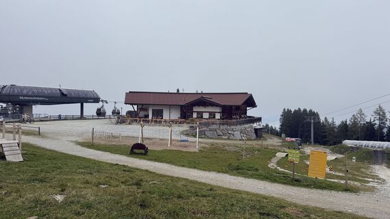
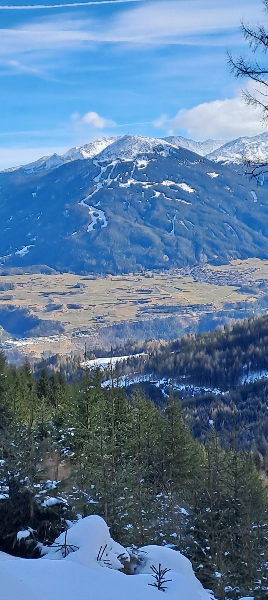
Mutterer Alm - Trail Down
medium
Navigate
Navigate
Get this tour on your mobile
Mutterer Alm - Trail Down
medium
Mountainbike
11.29
km
Scan the QR code and start navigation in the bergfex app

Hiking & Tracking


Distance
11.29
km
Duration
00:46
h
Ascent
664
m
Sea level
940 -
1,611
m
Track download
Mutterer Alm - Trail Down
medium
Mountainbike
11.29
km


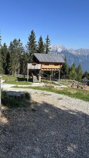
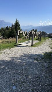
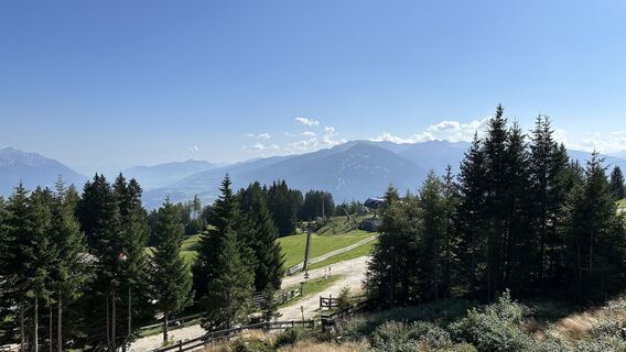
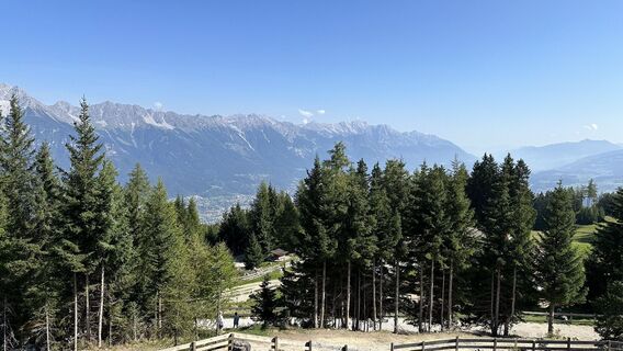
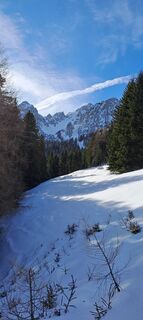
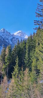
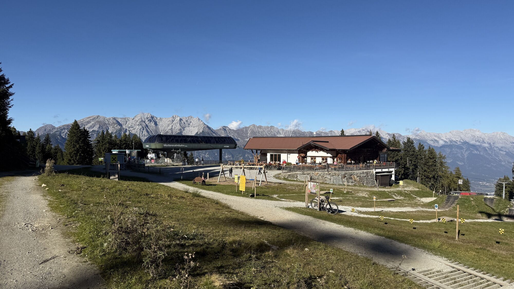
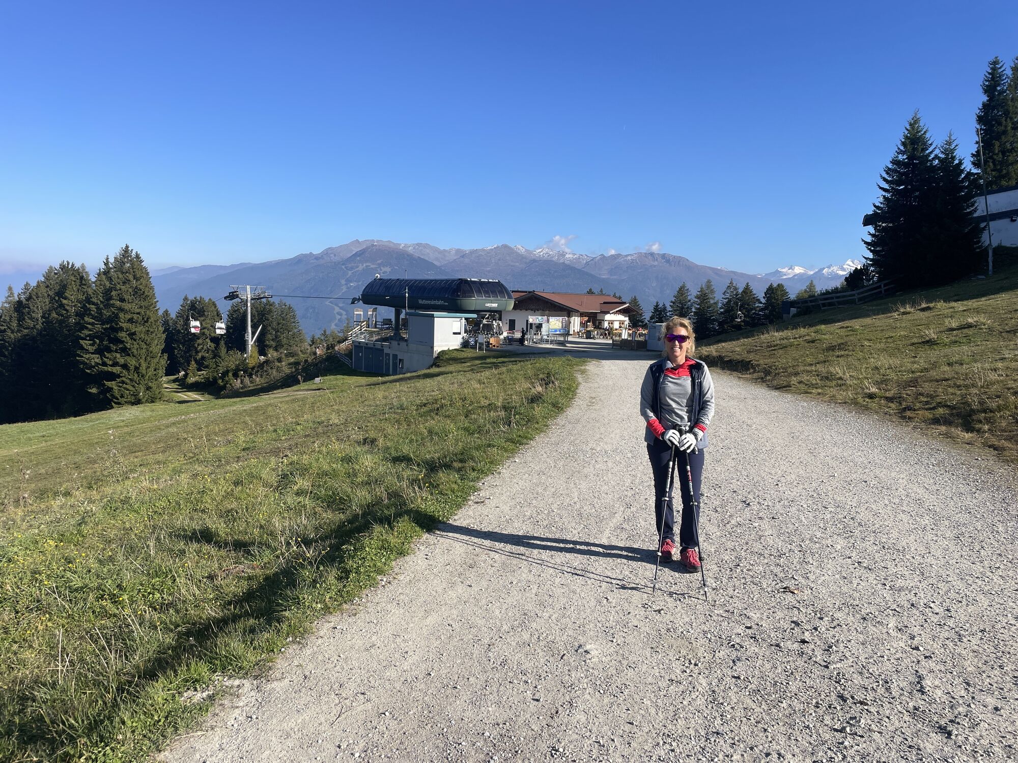
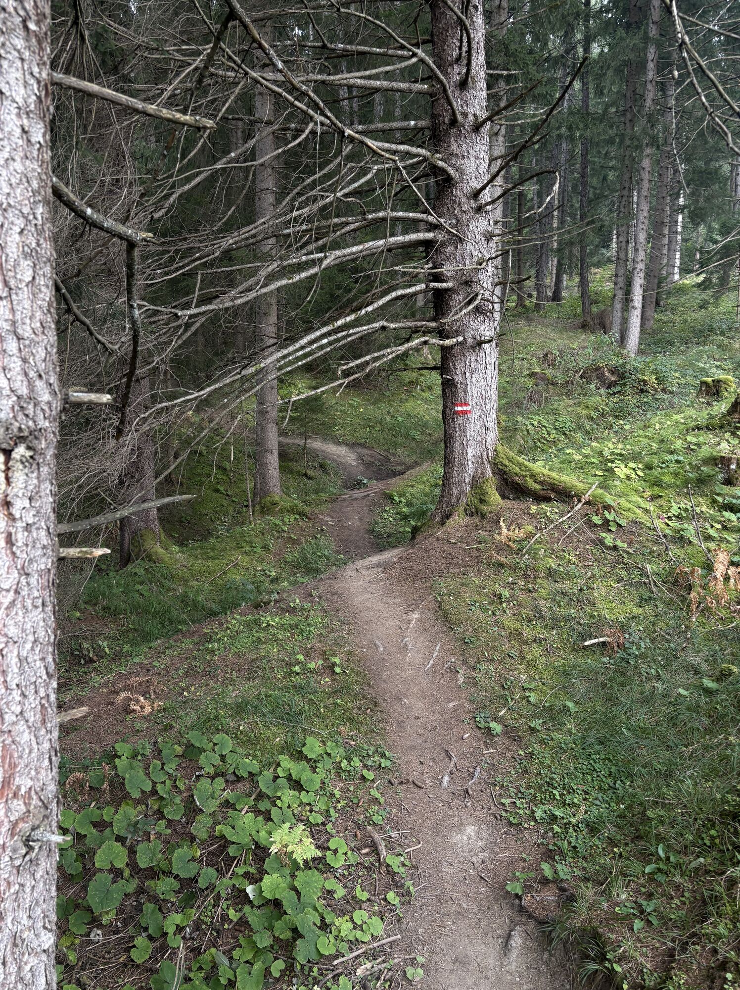
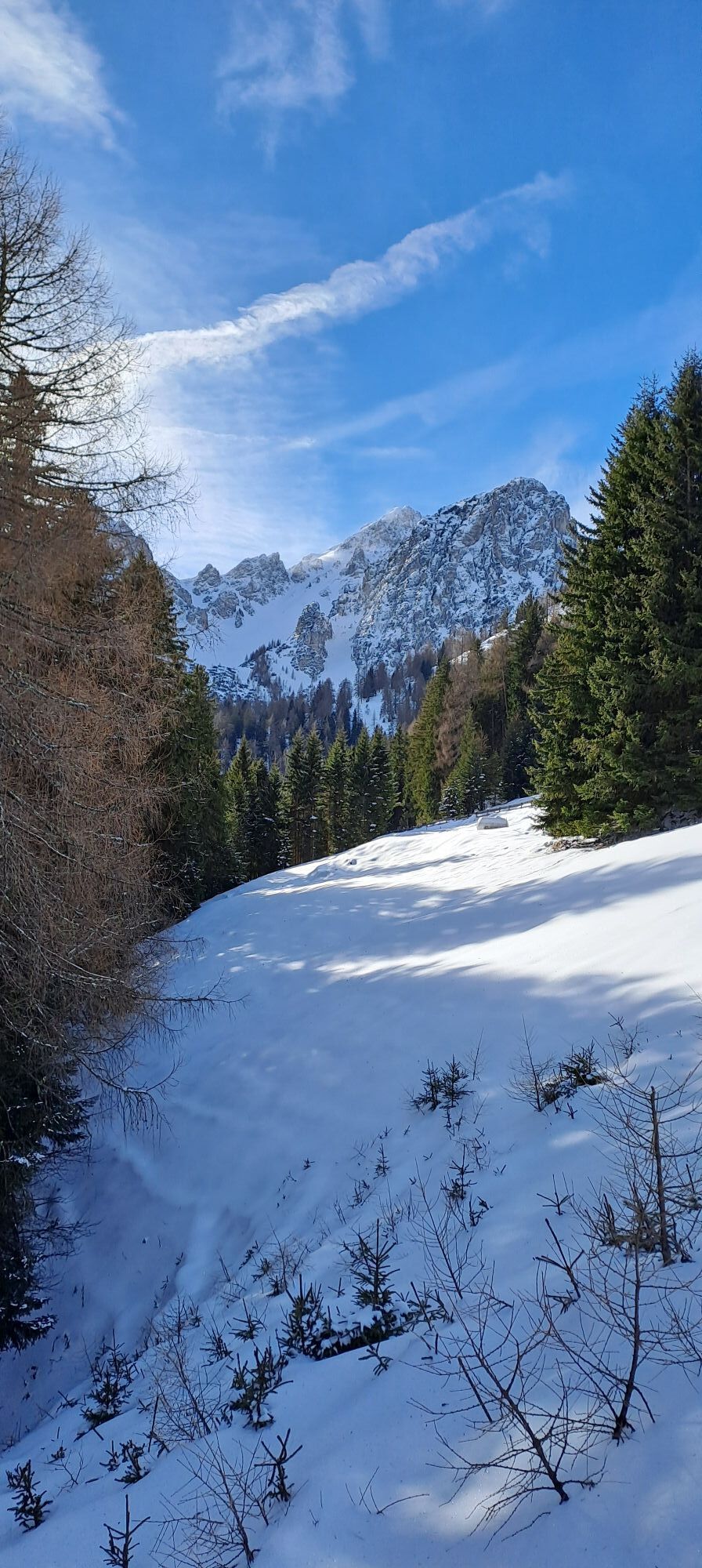
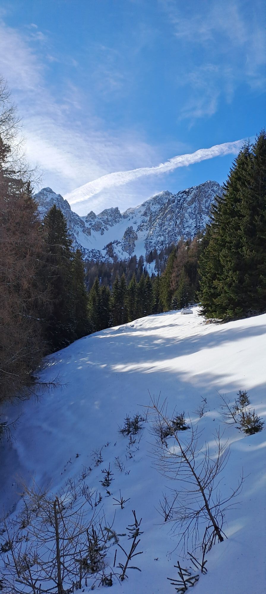
Photos from our users
-

 © SimilaunCreated on 15.10.2025
 -
 © SimilaunCreated on 15.10.2025
 -

 © Julian VieiderCreated on 08.10.2025
 -
 © deltoideusCreated on 03.09.2024
 -
 © deltoideusCreated on 03.09.2024
 -
 © deltoideusCreated on 03.09.2024
 -
 © deltoideusCreated on 03.09.2024
 -

 © Alfred SeebacherCreated on 17.10.2025
 -
 © Alfred SeebacherCreated on 17.10.2025
 -
 © Jeanette GaleczkaCreated on 29.09.2025
 -
 © Bence BarlayCreated on 27.01.2025
 -
 © Bence BarlayCreated on 27.01.2025
 -
 © Bence BarlayCreated on 27.01.2025
 -
 © Bence BarlayCreated on 27.01.2025


Route
Gasthof Sennalm
(1,603 m)
Restaurant
4.6 km
Mutterer Alm
(1,601 m)
Corridor/terrain
4.7 km
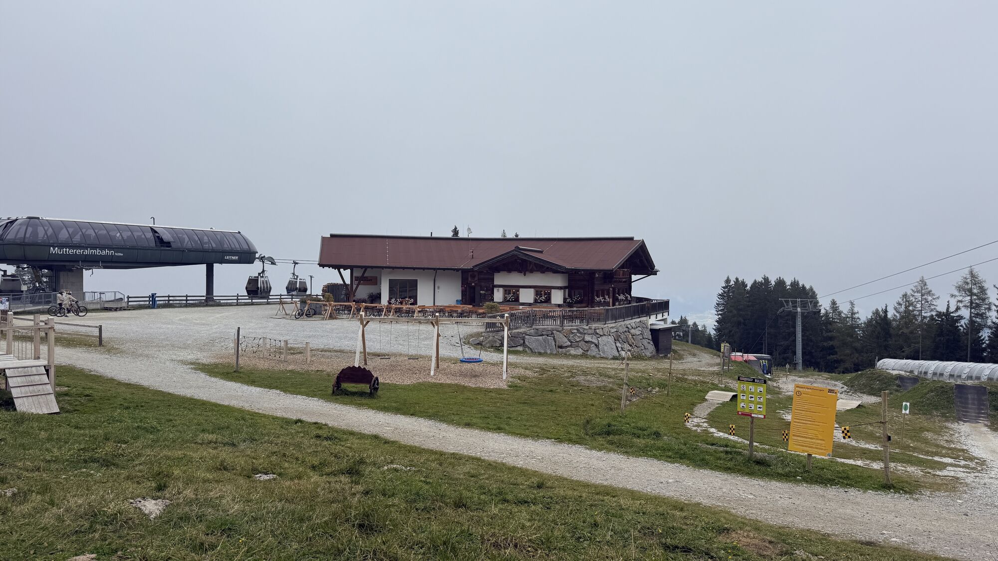
Bergstation Muttereralmbahn
(1,620 m)
Gondola station
4.8 km
Mutterer Alm Restaurant
(1,607 m)
Restaurant
4.8 km
Route
Mutterer Alm - Trail Down
medium
Mountainbike
11.29
km
Gasthof Sennalm
(1,603 m)
Restaurant
4.6 km
Mutterer Alm
(1,601 m)
Corridor/terrain
4.7 km
Bergstation Muttereralmbahn
(1,620 m)
Gondola station
4.8 km
Mutterer Alm Restaurant
(1,607 m)
Restaurant
4.8 km


Last tracked
2 weeks ago
Valuations
5
(1)
4
(1)
3
(0)
2
(0)
1
(0)
Popular tours in the neighbourhood
-
4.7
Patscherkofl
mediumHiking 18.5 km -
Der Goethe Weg in Tirol
mediumHiking 15.9 km -
4.0
In the footsteps of Emperor Franz I to the Kaisersäule
mediumHiking 11.0 km -
4.2
From the Tulfeinalm to the Schartenkogel
mediumHiking 4.20 km -
5.0
Reitherspitz
mediumHiking 6.03 km -
5.0
Ehnbachklamm und Kaiser MaxGrotte, Zirl, Tirol/Österreich
heavyHigh tour 6.30 km -
4.8
Seegrube
mediumHiking 4.03 km -
5.0
To a small panoramic peak next to the Thaurer Alm: Thaurer Rosskopf
mediumHiking 9.87 km -
4.5
Von der Kemater Alm zum Sonntagsköpfl
lightHiking 9.20 km -
4.2
Patscherkofel
lightSki tour 6.42 km
Hiking & Tracking

Over 550.000 tour suggestions, detailed maps and an intuitive route planner make the app a must-have for all nature enthusiasts.

Don't miss out on offers and inspiration for your next holiday
Subscribe to the newsletter
Error
An error has occurred. Please try again.
Thank you for your registration
Your e-mail address has been added to the mailing list.
Tours throughout Europe
Austria
Switzerland
Germany
Italy
Slovenia
France
Netherlands
Belgium
Poland
Liechtenstein
Czechia
Slovakia
Spain
Croatia
Bosnia and Herzegovina
Luxembourg
Andorra
Portugal
Iceland
United Kingdom
Ireland
Greece
Albania
North Macedonia
Malta
Norway
Montenegro
Moldova
Kosovo
Hungary
San Marino
Romania
Estonia
Latvia
Belarus
Cyprus
Lithuania
Serbia
Bulgaria
Monaco
Denmark
Sweden
Finland