Aldranser Alm
heavy
Navigate
Navigate
Get this tour on your mobile
Aldranser Alm
heavy
Mountainbike
43,04
km
Scan the QR code and start navigation in the bergfex app

Hiking & Tracking


Distance
43,04
km
Duration
03:32
h
Ascent
1.111
m
Sea level
571 -
1.538
m
Track download
Aldranser Alm
heavy
Mountainbike
43,04
km


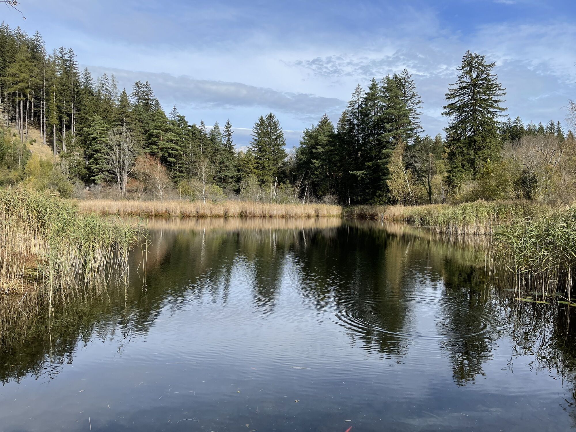
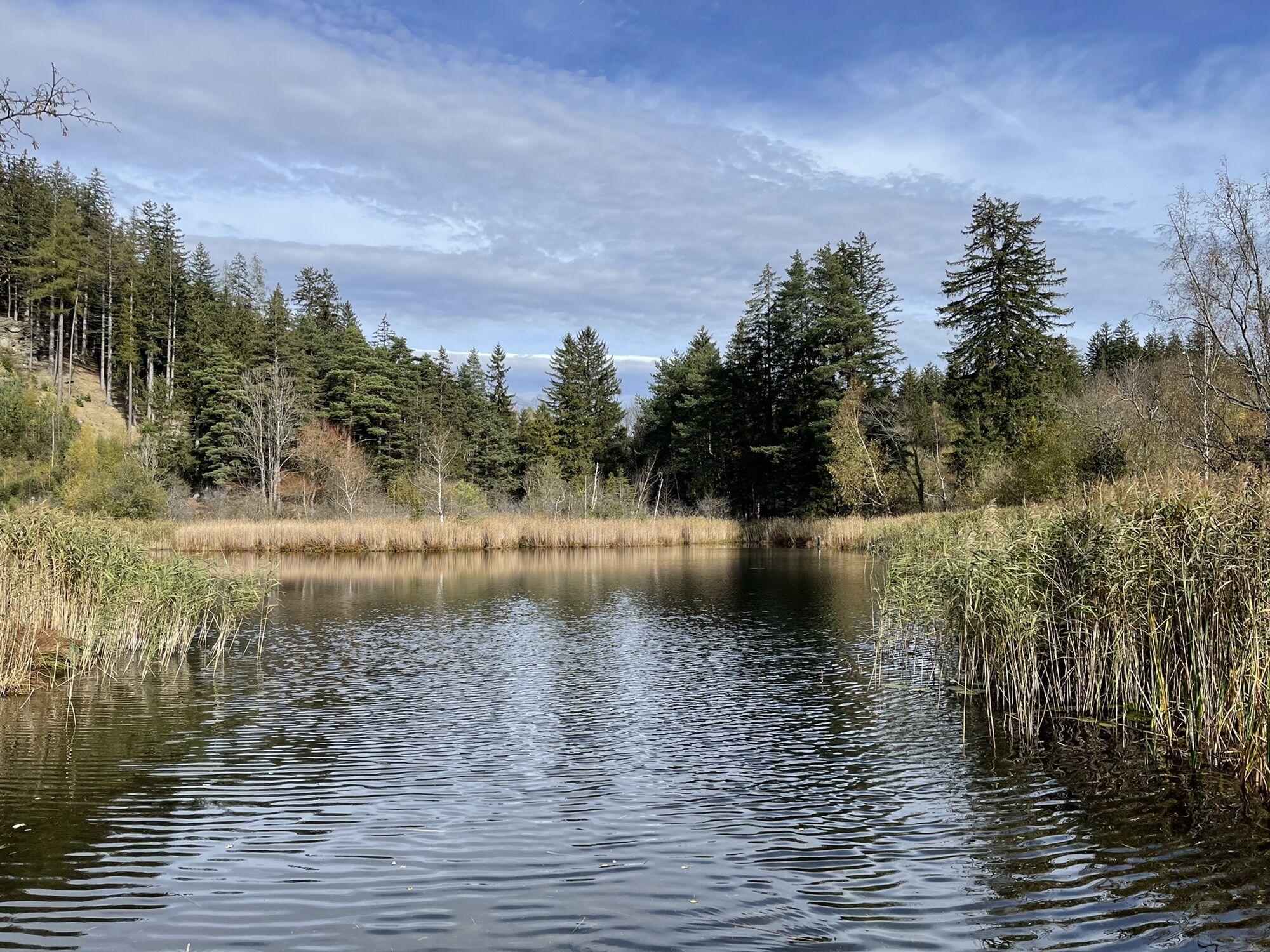
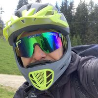
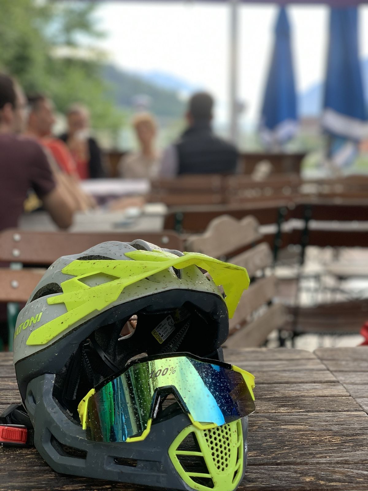
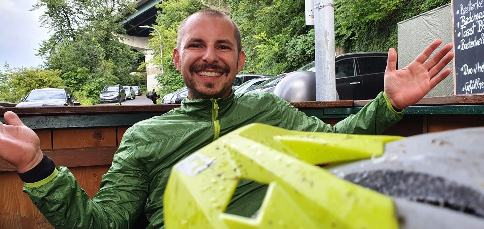
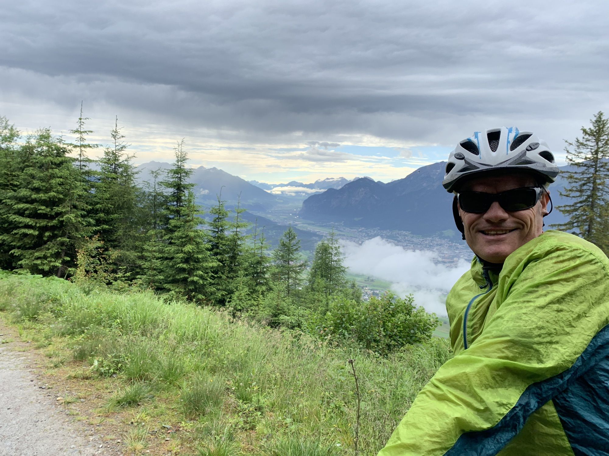
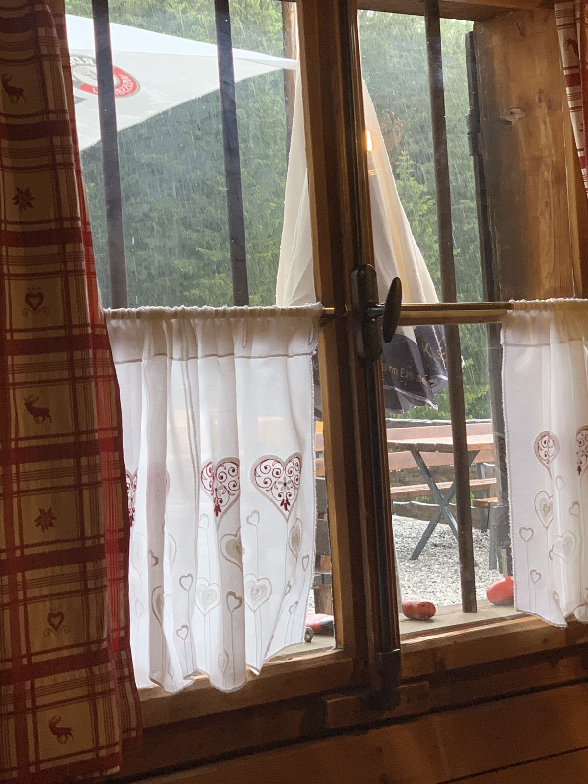
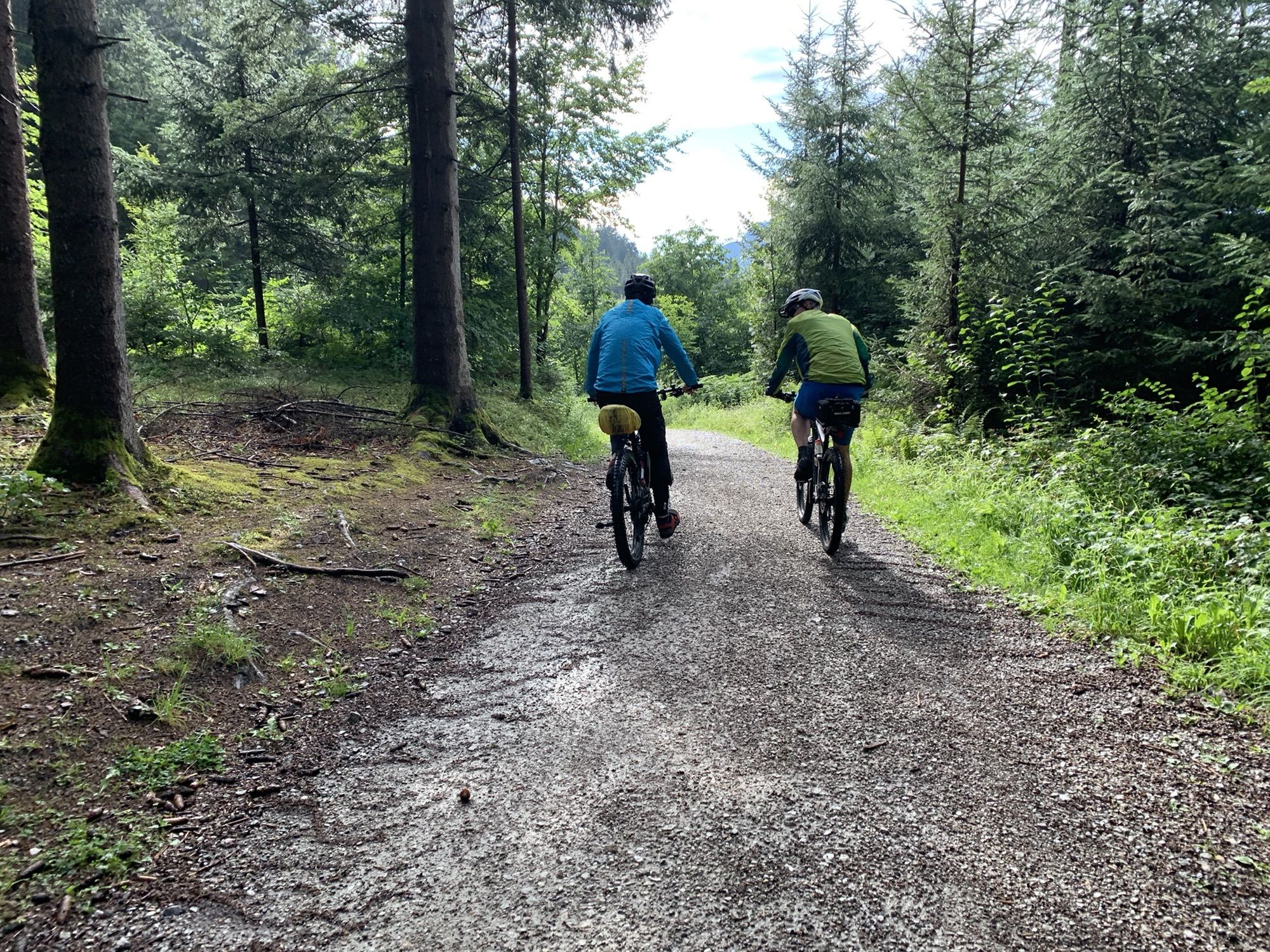
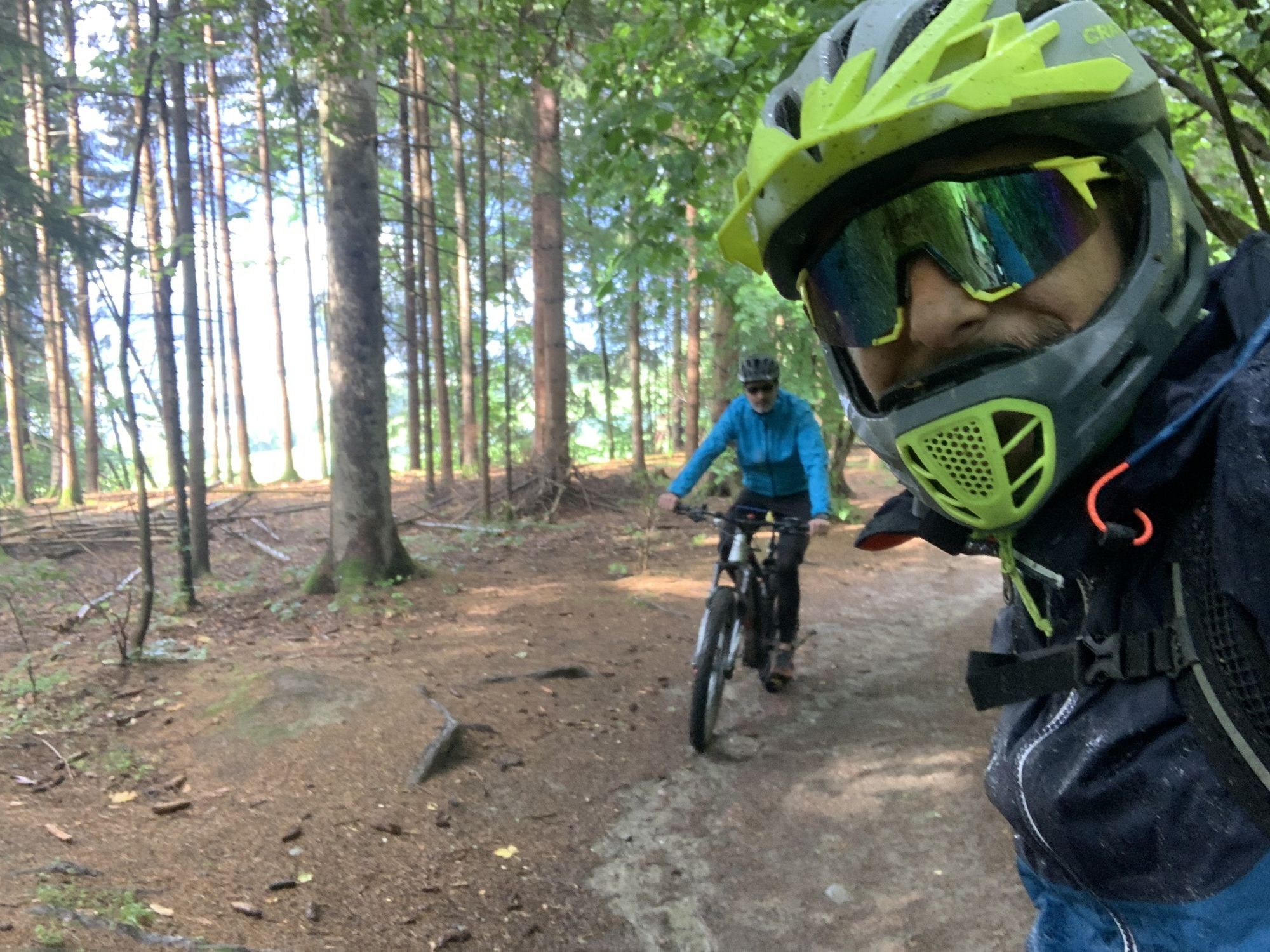
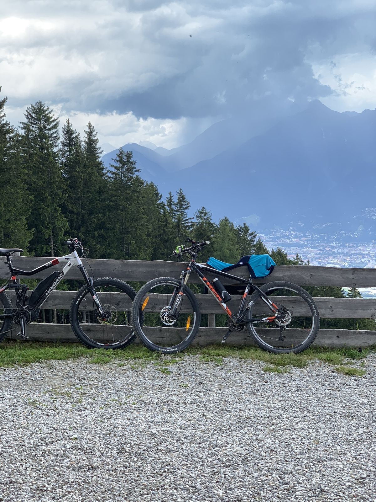
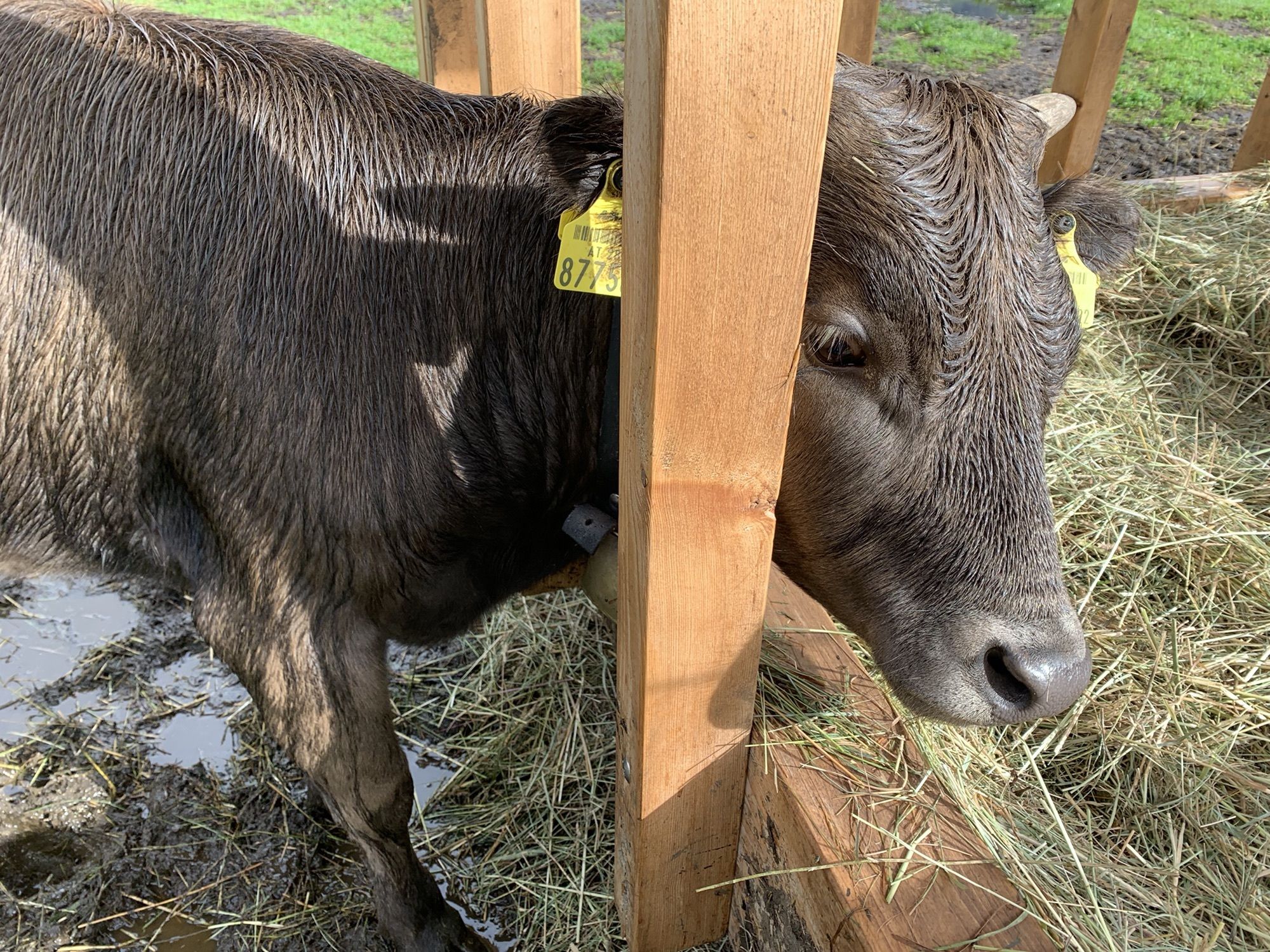
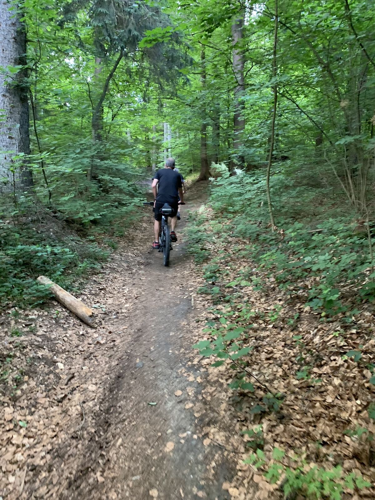
Photos from our users
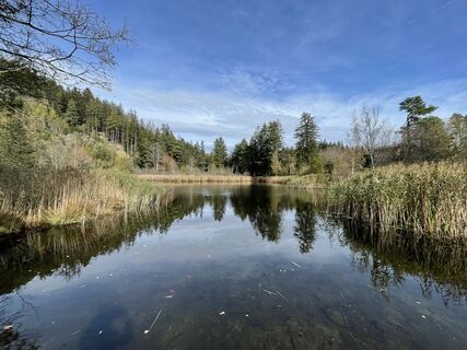
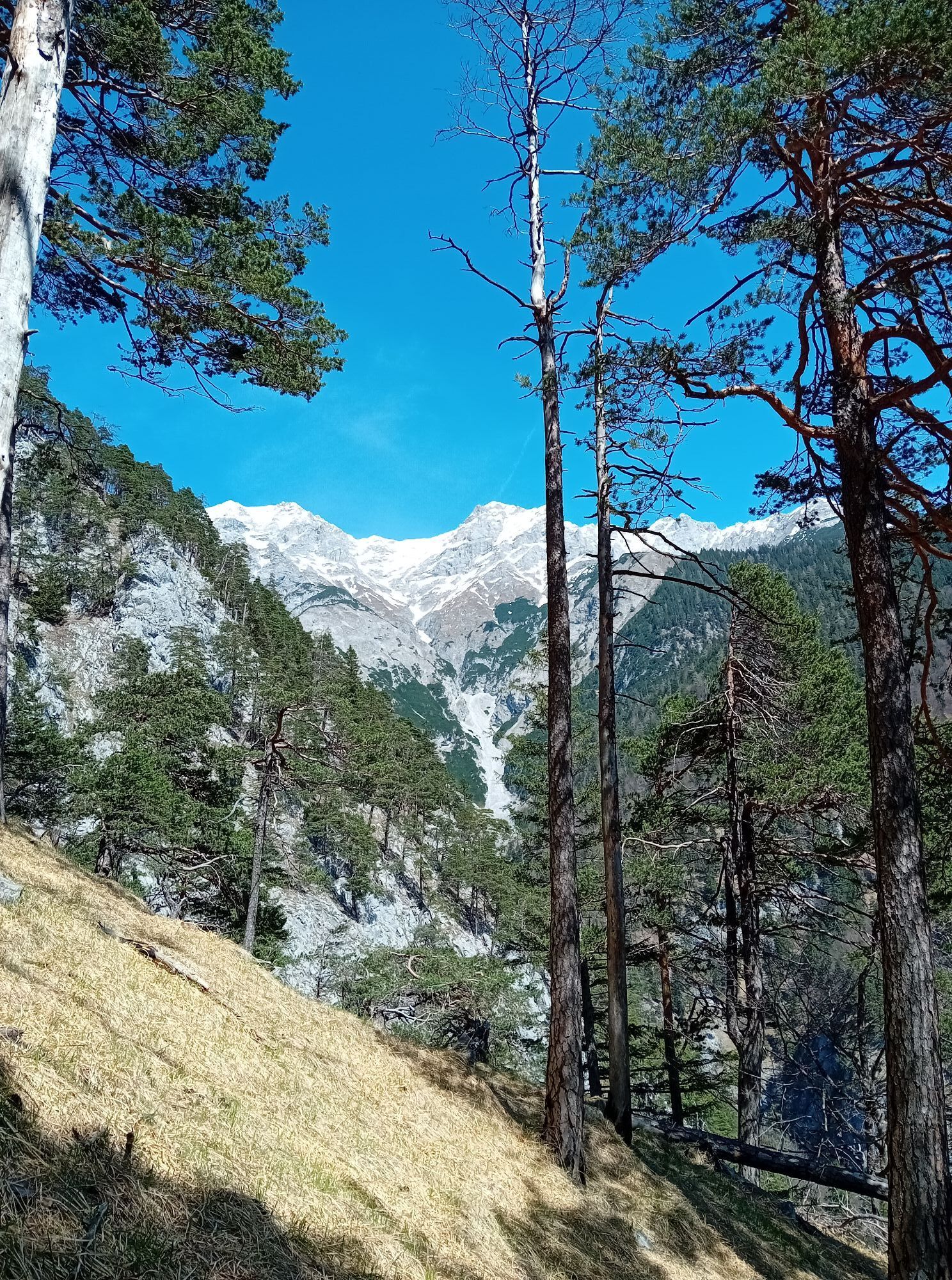
 © brankaCreated on 23.10.2022
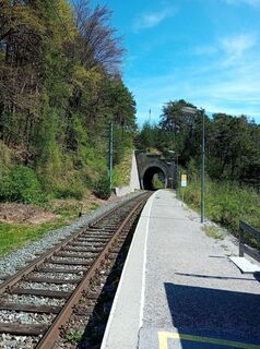
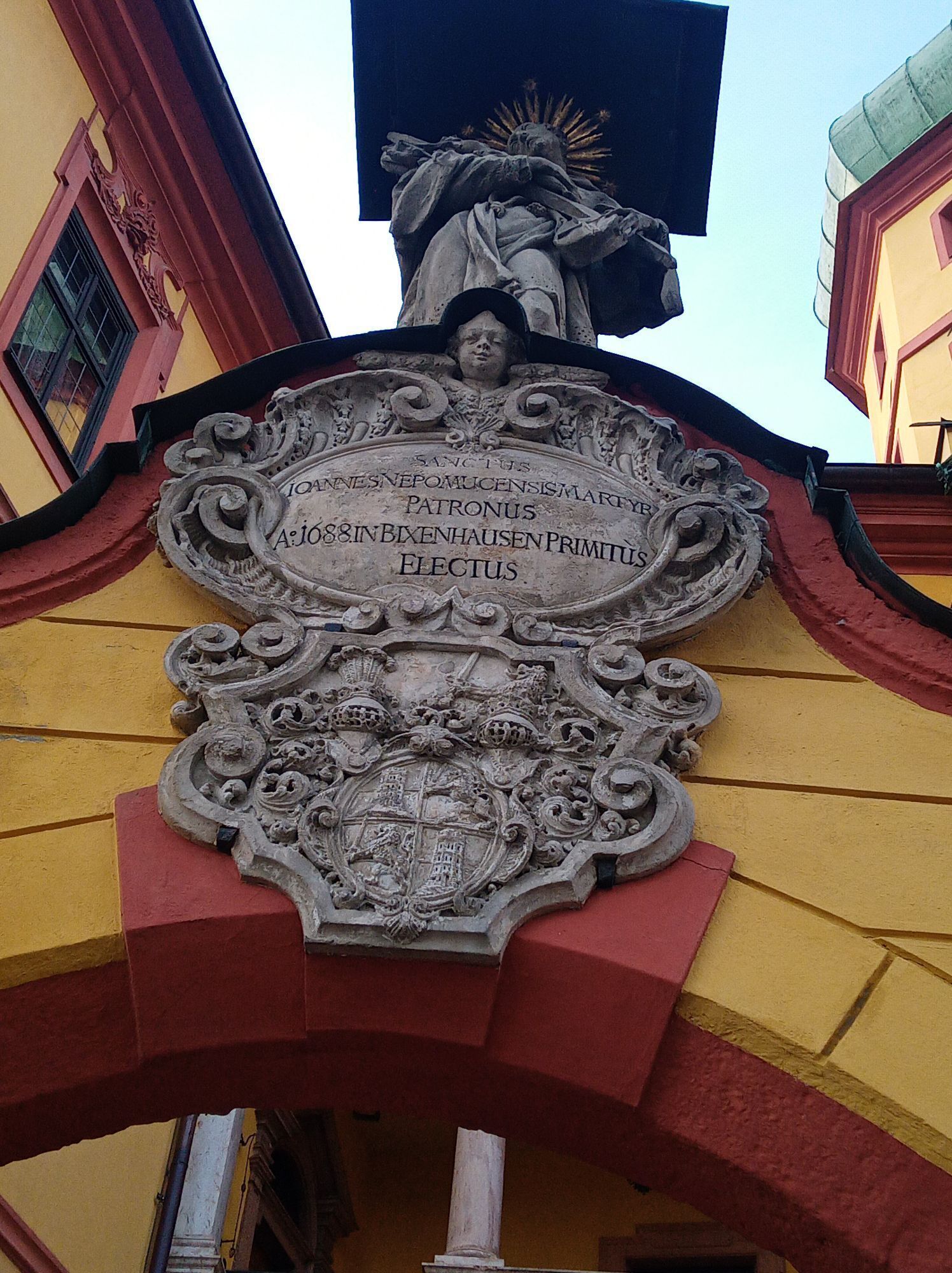
 © Josef Sepp NagillerCreated on 12.04.2024
 © Josef Sepp NagillerCreated on 12.04.2024
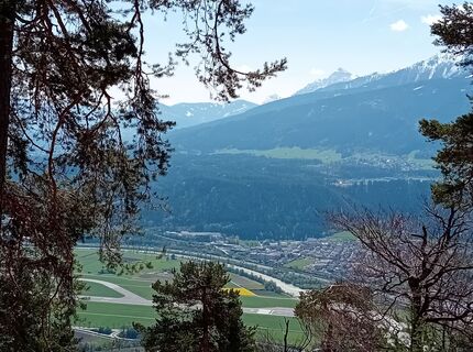 © Josef Sepp NagillerCreated on 12.04.2024
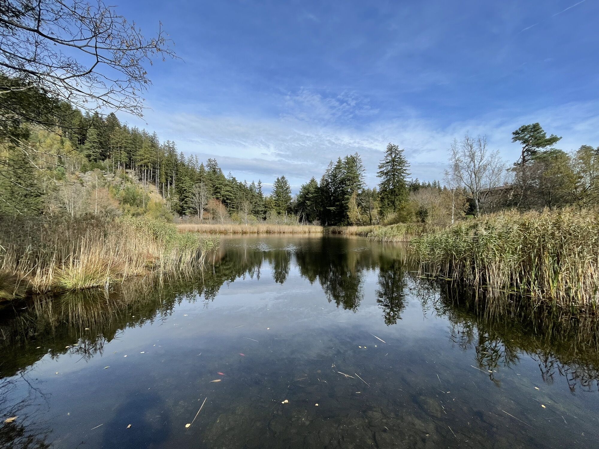
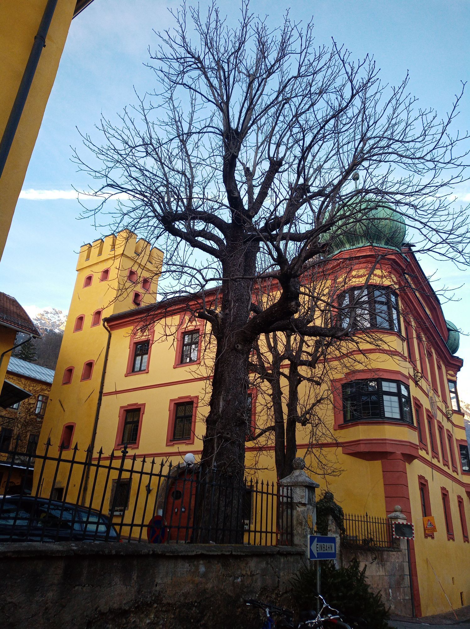
 © DieterCreated on 14.01.2024
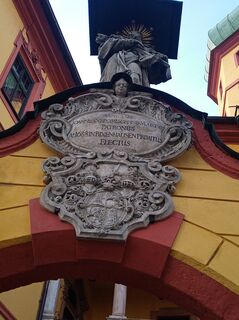 © DieterCreated on 14.01.2024
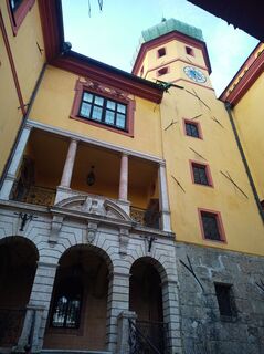 © DieterCreated on 14.01.2024
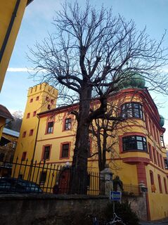 © DieterCreated on 14.01.2024
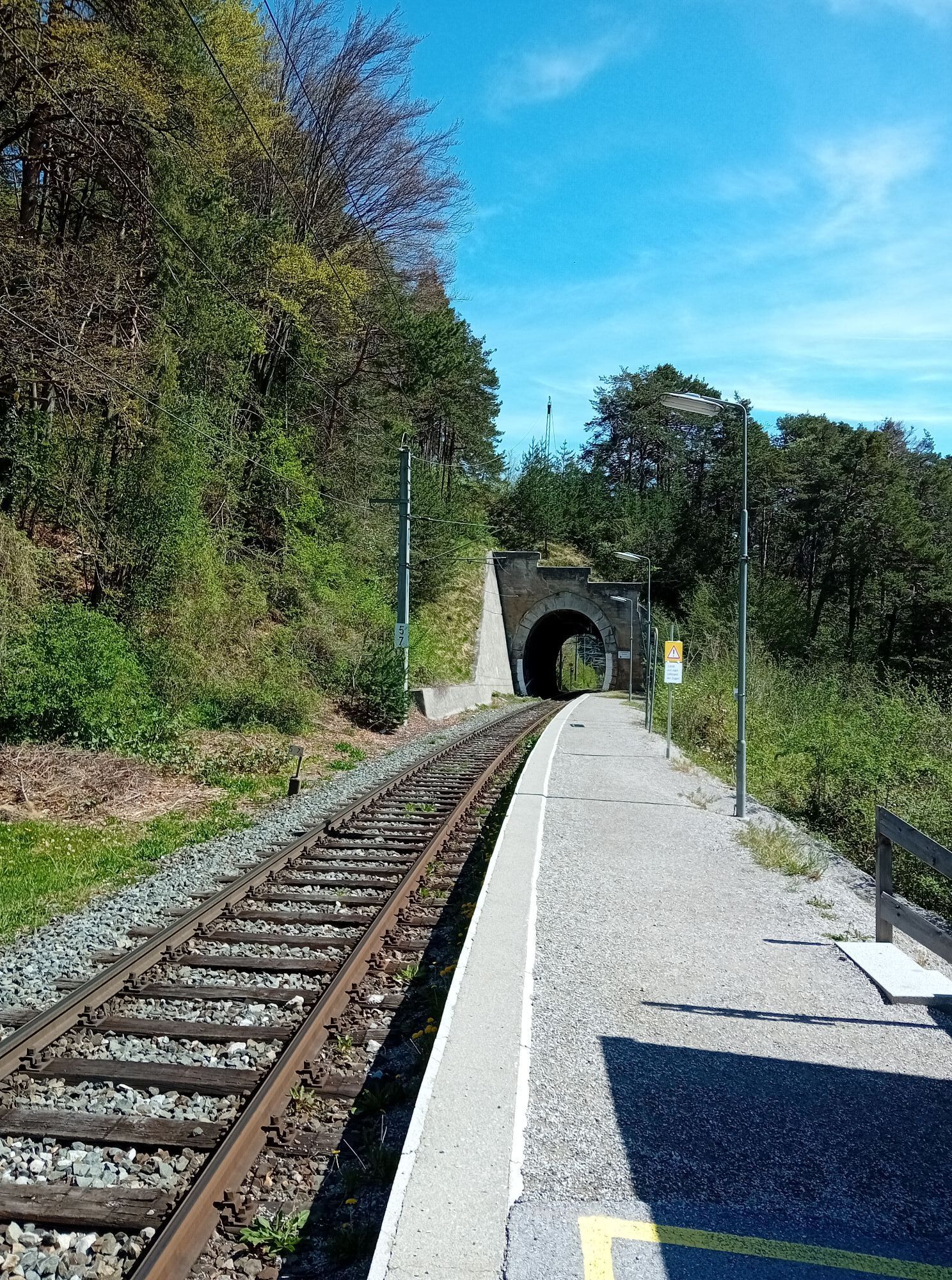
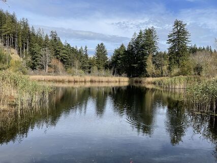 © brankaCreated on 23.10.2022
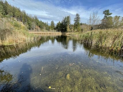 © brankaCreated on 23.10.2022
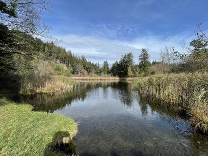 © brankaCreated on 23.10.2022
 © brankaCreated on 23.10.2022


Route
Mariä Heimsuchung
(601 m)
Place of worship
0,4 km
Innsbruck
(574 m)
City
6,4 km
Klosterkirche der Schwestern zur Ewigen Anbetung
(574 m)
Place of worship
7,6 km
Lourdeskapelle
(659 m)
Place of worship
12,7 km
Brandthausenkapelle
(793 m)
Place of worship
16,1 km
Starkensiedlung
(906 m)
Settlement
19,8 km
Pfarrkirche Lans
(866 m)
Place of worship
35,1 km
Route
Aldranser Alm
heavy
Mountainbike
43,04
km
Kranebitten
(634 m)
Neighbourhood
0,1 km
Mariä Heimsuchung
(601 m)
Place of worship
0,4 km
Völs
(574 m)
Village
1,1 km
Sieglanger
(578 m)
Neighbourhood
3,8 km
Höttinger Au
(576 m)
Neighbourhood
4,3 km
Arthur-Haidl-Promenade
(575 m)
Playground
5,4 km
Mariahilf
(575 m)
Neighbourhood
6,4 km
Innsbruck
(574 m)
City
6,4 km
Altstadt
(574 m)
Neighbourhood
6,5 km
St. Nikolaus
(573 m)
Neighbourhood
6,9 km
Klosterkirche der Schwestern zur Ewigen Anbetung
(574 m)
Place of worship
7,6 km
Saggen
(572 m)
Neighbourhood
7,9 km
Siebenkapellenkirche
(574 m)
Place of worship
8,3 km
Dreiheiligen
(576 m)
Neighbourhood
9,2 km
Tivoli
(584 m)
Neighbourhood
10,1 km
Lemmenhof
(660 m)
Neighbourhood
11,2 km
Lourdeskapelle
(659 m)
Place of worship
12,7 km
Große Kreuzkapelle
(660 m)
Place of worship
12,7 km
Sokopfkapelle
(661 m)
Place of worship
12,8 km
Kaiserschützenkapelle
(663 m)
Place of worship
12,8 km
Bahnhofssiedlung
(771 m)
Neighbourhood
14,7 km
Schützenkapelle
(761 m)
Place of worship
15,2 km
Giardino
(757 m)
Restaurant
15,6 km
Aldrans
(760 m)
Village
15,8 km
Brandthausenkapelle
(793 m)
Place of worship
16,1 km
Jausenstation Herzsee
(814 m)
Restaurant
16,7 km
Mariahilfkapelle
(850 m)
Place of worship
17,6 km
Asten
(886 m)
Neighbourhood
18,7 km
Fagslung
(889 m)
Settlement
19,4 km
Starkensiedlung
(906 m)
Settlement
19,8 km
Plattenmahd
(929 m)
Corridor/terrain
20,0 km
Frauenmarterl
(1.108 m)
Corridor/terrain
21,6 km
Aldranser Alm
(1.511 m)
Restaurant
25,8 km
Frauenmarterl
(1.108 m)
Corridor/terrain
29,9 km
Plattenmahd
(929 m)
Corridor/terrain
31,4 km
Starkensiedlung
(906 m)
Settlement
31,5 km
Fagslung
(889 m)
Settlement
32,0 km
Aldrans
(760 m)
Village
33,2 km
Rans
(843 m)
Neighbourhood
34,2 km
Isserwirt
(866 m)
Restaurant
34,9 km
Wilder Mann
(869 m)
Restaurant
35,1 km
Lans
(867 m)
Village
35,1 km
Pfarrkirche Lans
(866 m)
Place of worship
35,1 km
Huisenkapelle
(846 m)
Place of worship
35,9 km
Golfrestaurant Lans
(836 m)
Restaurant
36,5 km
Jausenstation Vogelhütte
(832 m)
Restaurant
36,7 km
Sparberegg
(813 m)
Corridor/terrain
37,1 km
Bahnhofssiedlung
(771 m)
Neighbourhood
37,2 km
Lemmenhof
(660 m)
Neighbourhood
39,7 km
Tivoli
(584 m)
Neighbourhood
40,8 km
Innsbruck
(574 m)
City
41,4 km
Dreiheiligen
(576 m)
Neighbourhood
41,9 km
Saggen
(572 m)
Neighbourhood
42,9 km

Last tracked
3 weeks ago
No reviews yet
Popular tours in the neighbourhood
- 4,7
Patscherkofl
mediumHiking18,5 km - 5,0
Hallerangerhaus
heavyE-MTB19,0 km - 4,8
Seegrube
mediumHiking4,03 km - 4,2
Patscherkofel
lightSki tour6,42 km - 5,0
Ehnbachklamm und Kaiser MaxGrotte, Zirl, Tirol/Österreich
heavyHigh tour6,30 km - 3,0
From the Halltal to the Bettelwurf Mountain Hut
heavyHiking18,4 km - 4,8
Patscherkofel Gipfelrunde mit Zirbenweg
lightHiking6,52 km - 4,0
Vordere Brandjochspitze, Tirol/Österreich
mediumHiking15,2 km - 4,6
Von Gnadenwald zur Walderalm
mediumHiking4,09 km - 4,5
Axams Hoadlgipfl, Tirol/Österreich
lightSki tour4,04 km
Hiking & Tracking

Over 550.000 tour suggestions, detailed maps and an intuitive route planner make the app a must-have for all nature enthusiasts.

Don't miss out on offers and inspiration for your next holiday
Subscribe to the newsletter
Error
An error has occurred. Please try again.Thank you for your registration
Your e-mail address has been added to the mailing list.
Tours throughout Europe
Austria Switzerland Germany Italy Slovenia France Netherlands Belgium Poland Liechtenstein Czechia Slovakia Spain Croatia Bosnia and Herzegovina Luxembourg Andorra Portugal Iceland United Kingdom Ireland Greece Albania North Macedonia Malta Norway Montenegro Moldova Kosovo Hungary San Marino Romania Estonia Latvia Belarus Cyprus Lithuania Serbia Bulgaria Monaco Denmark Sweden Finland