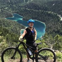
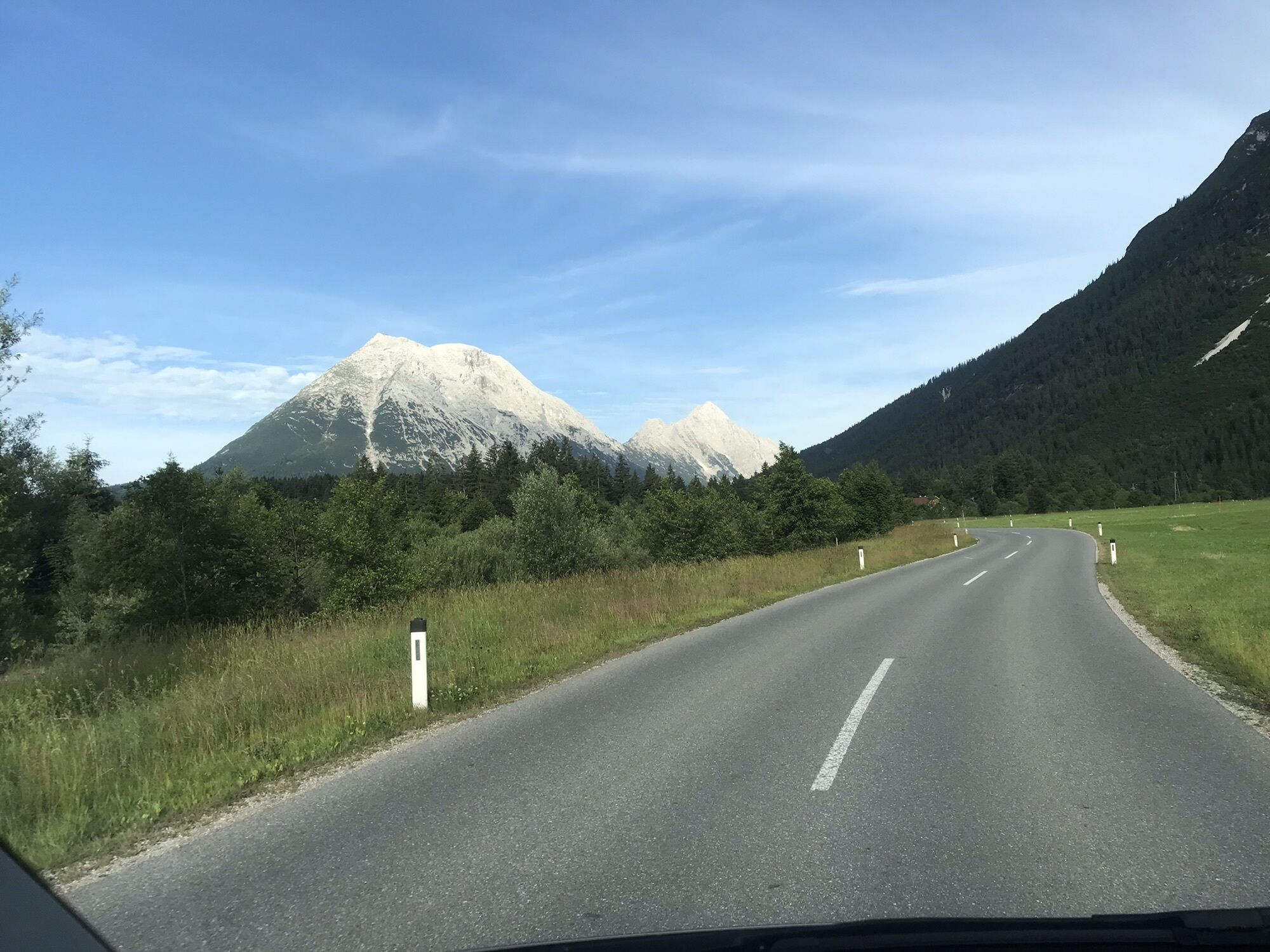
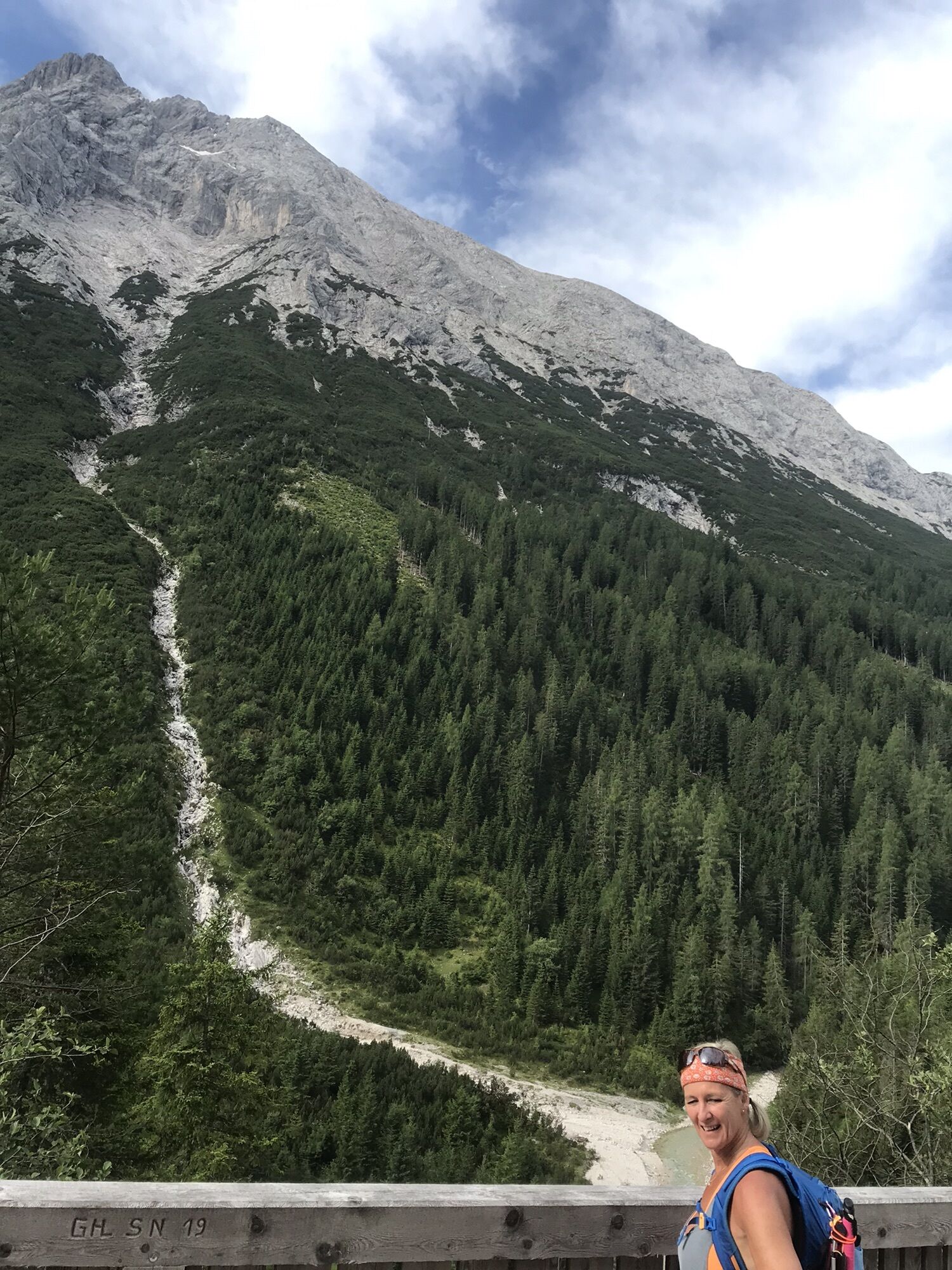
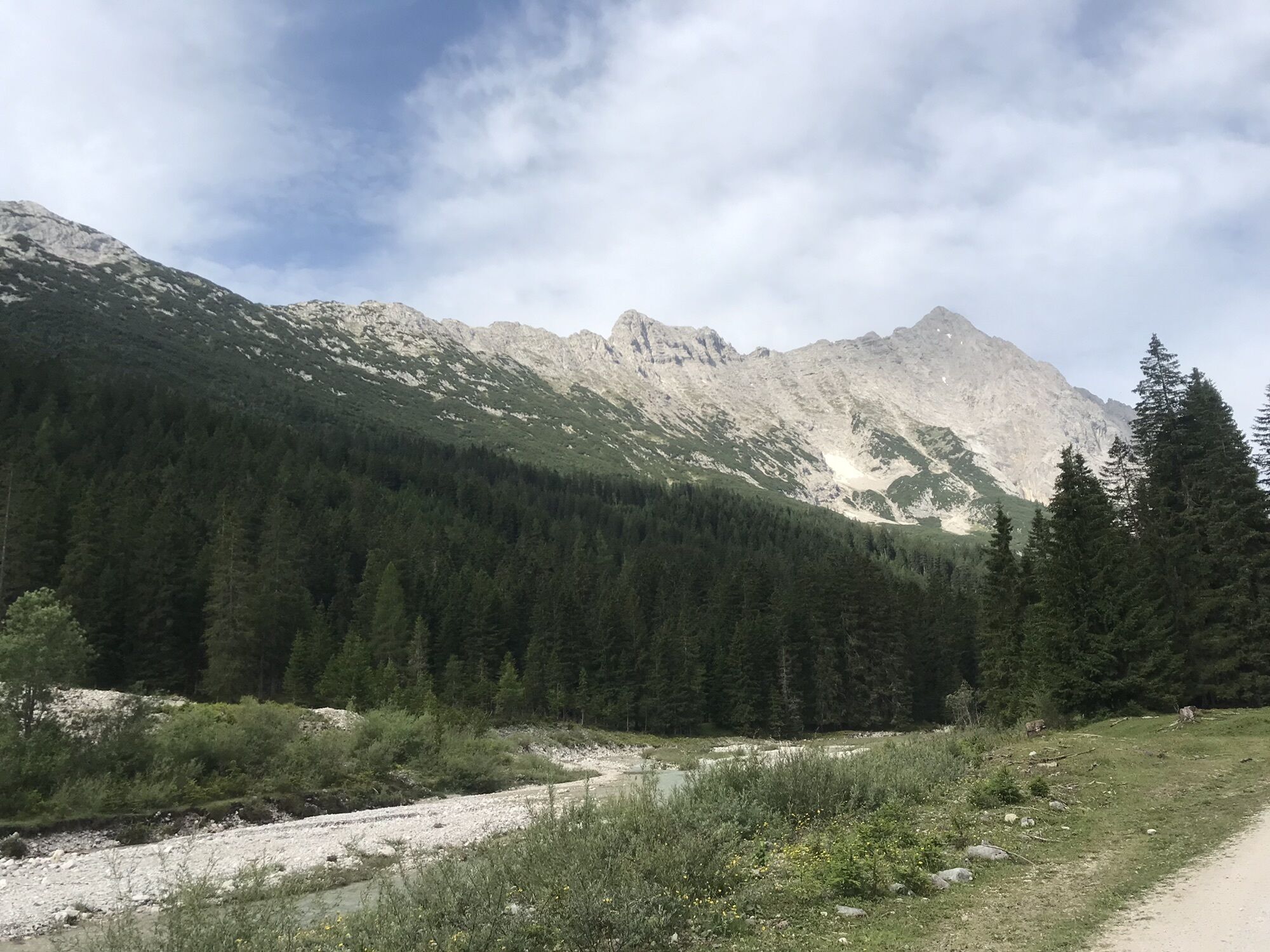
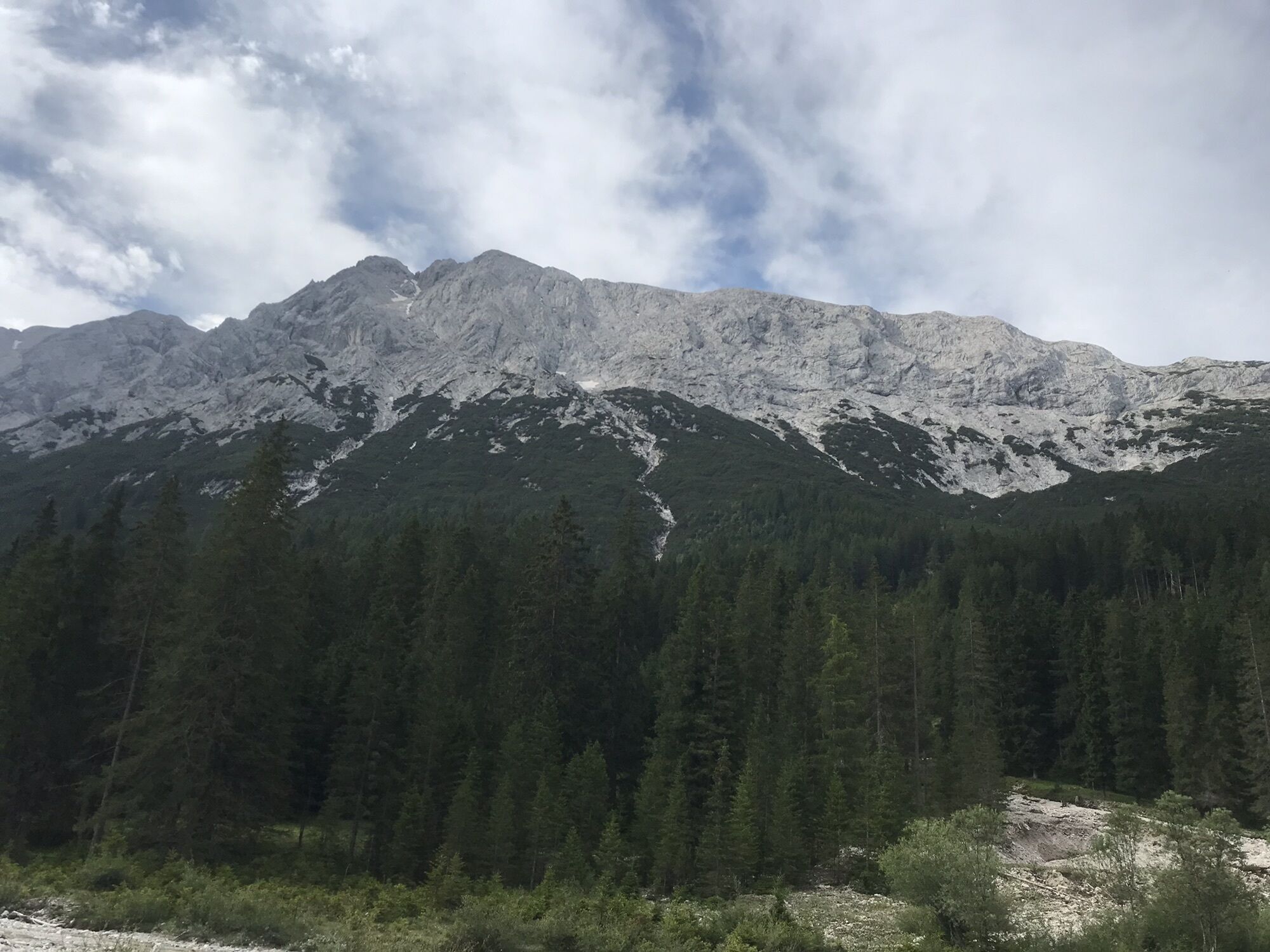
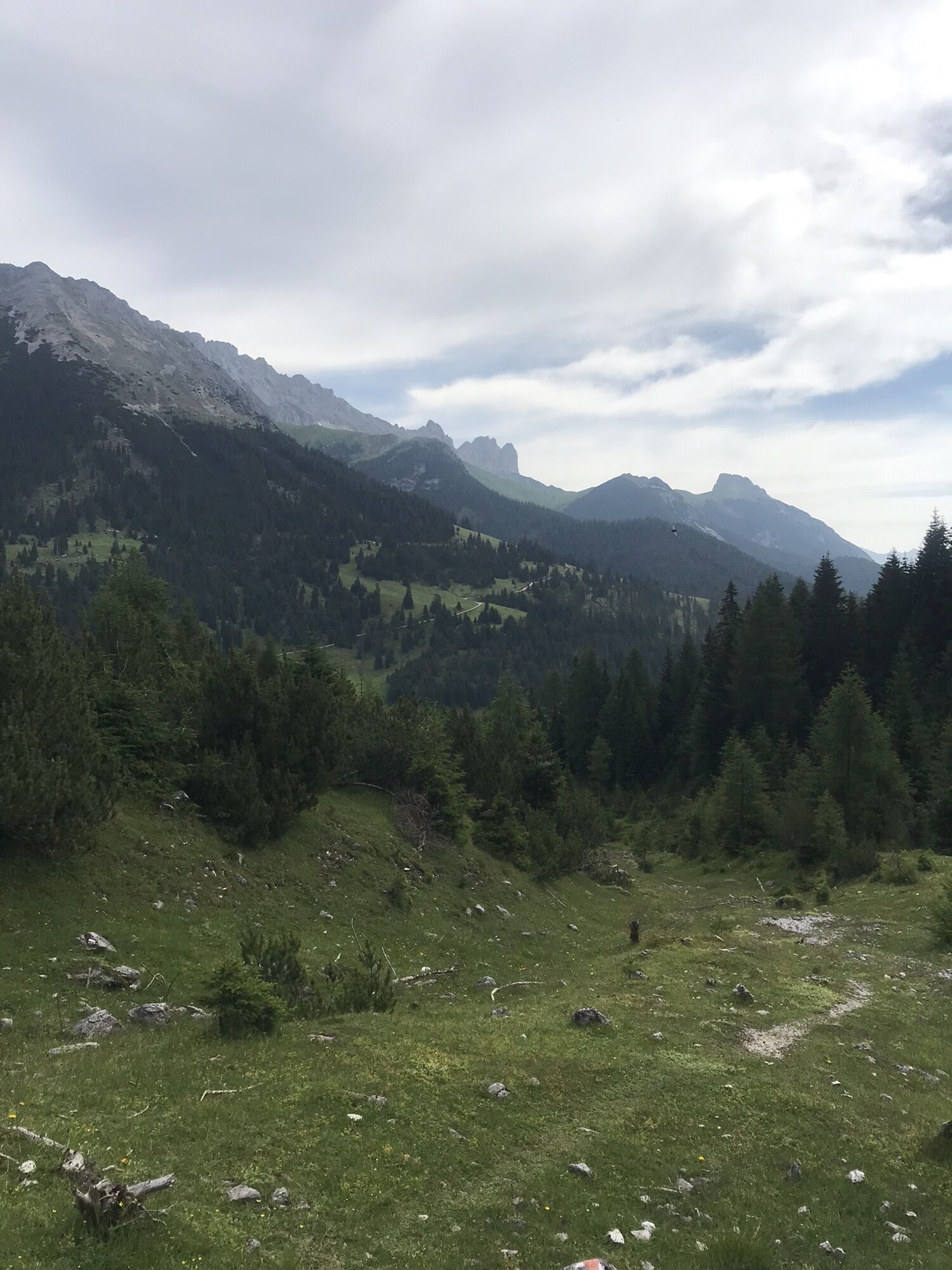
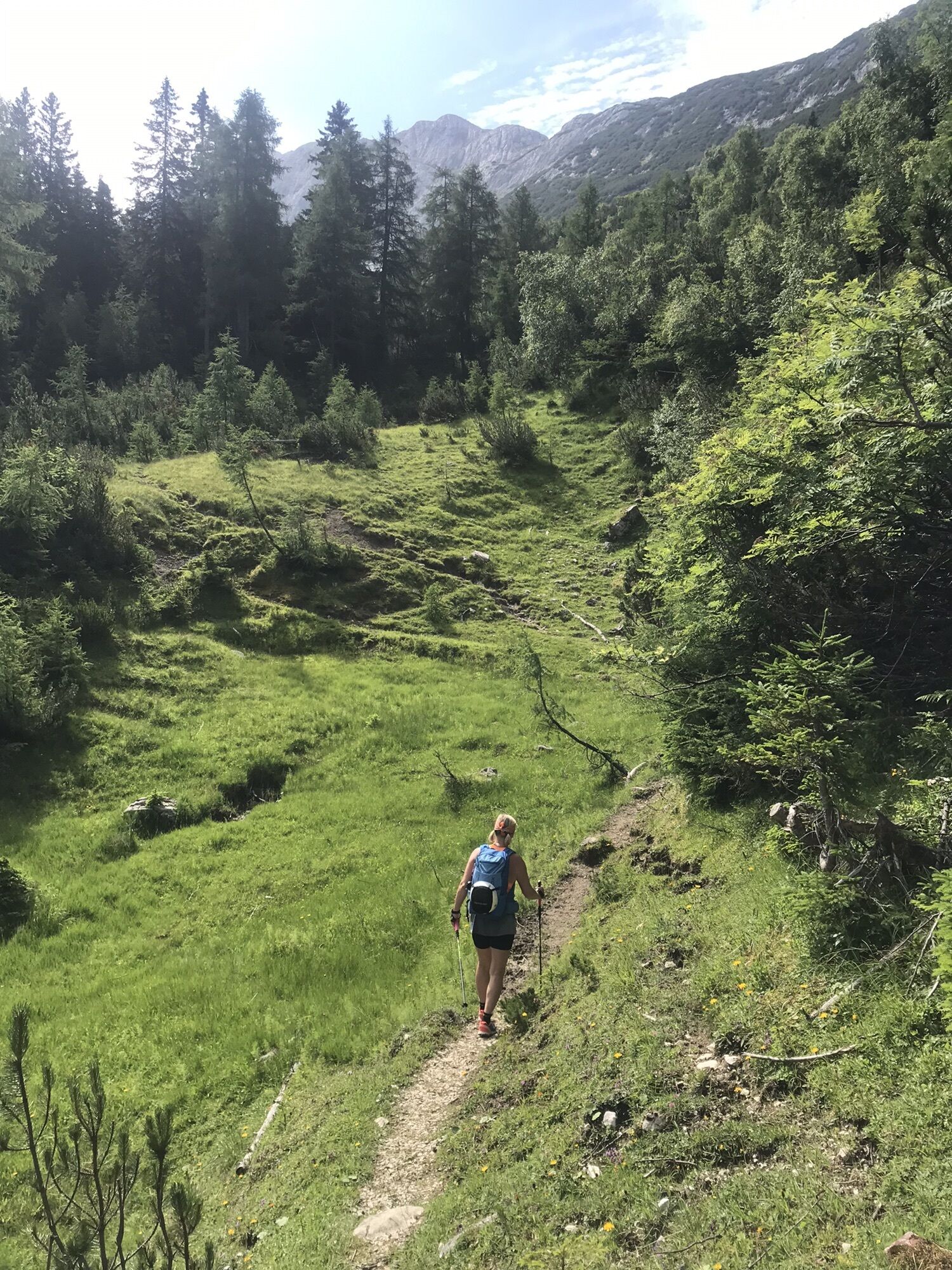
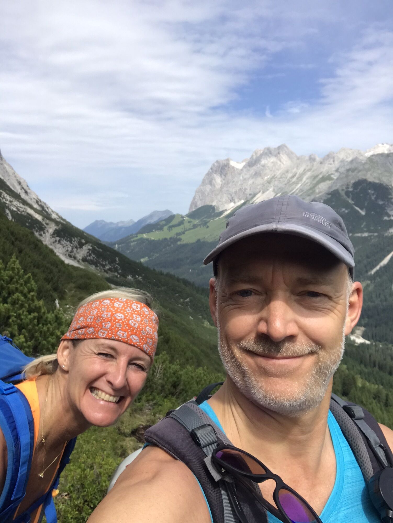
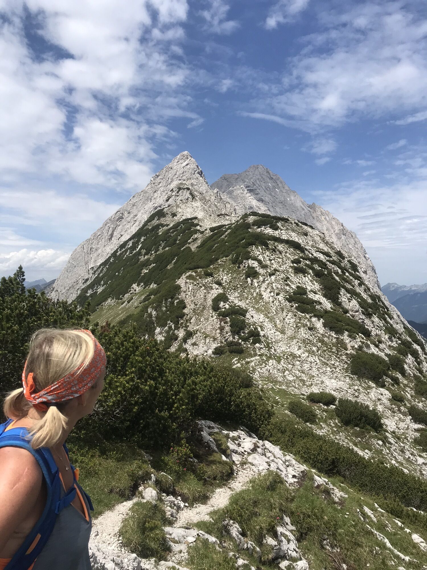
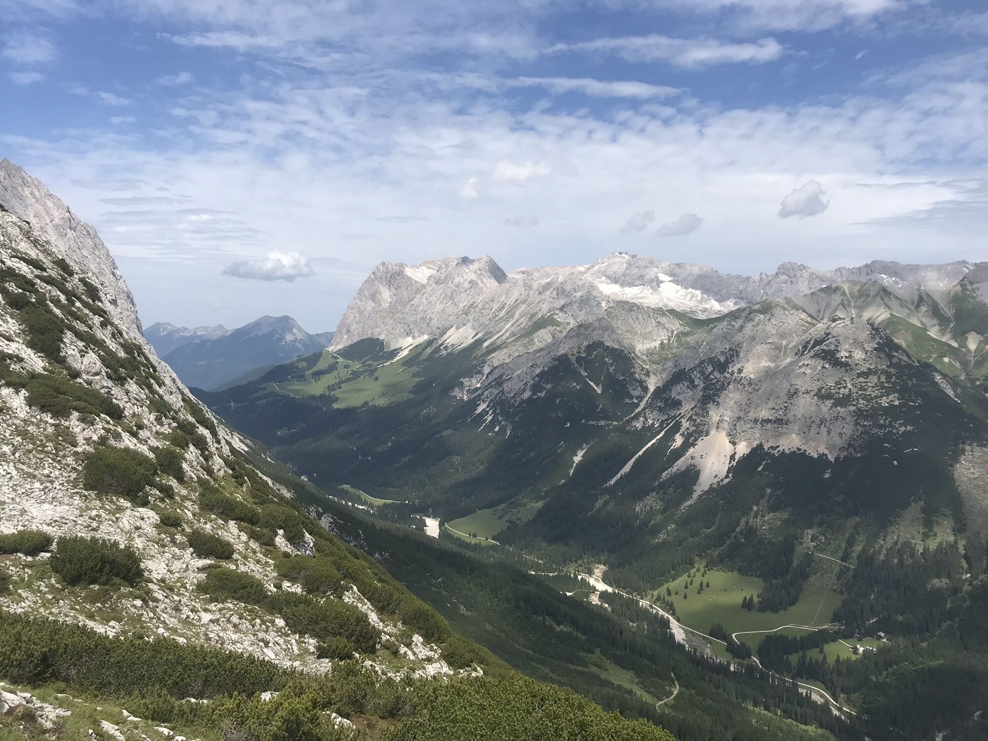
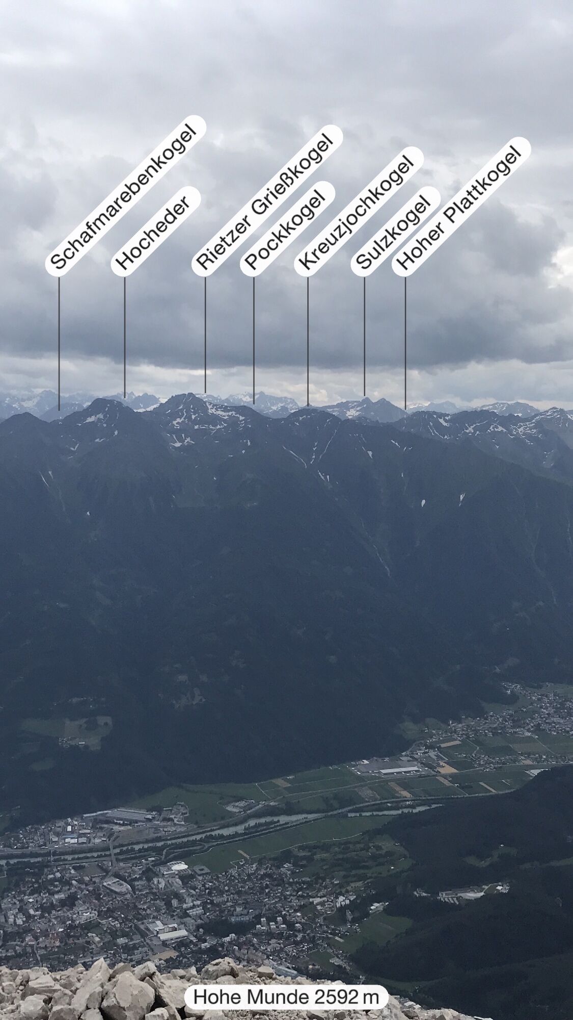
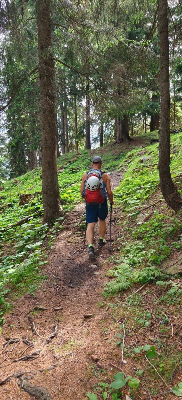
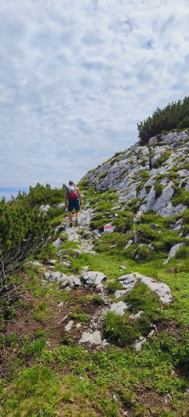
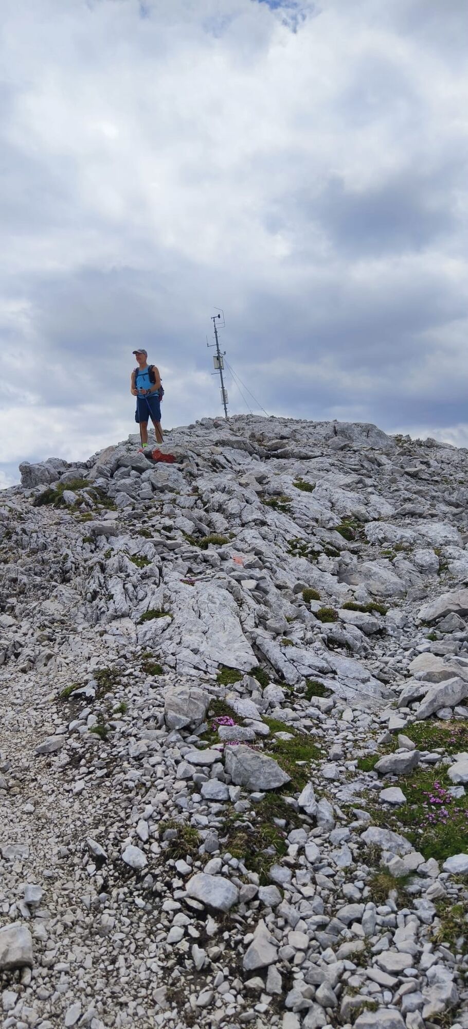
Hohe Munde Überschreitung mit Klettersteig
medium
Navigate
Navigate
Get this tour on your mobile
Hohe Munde Überschreitung mit Klettersteig
medium
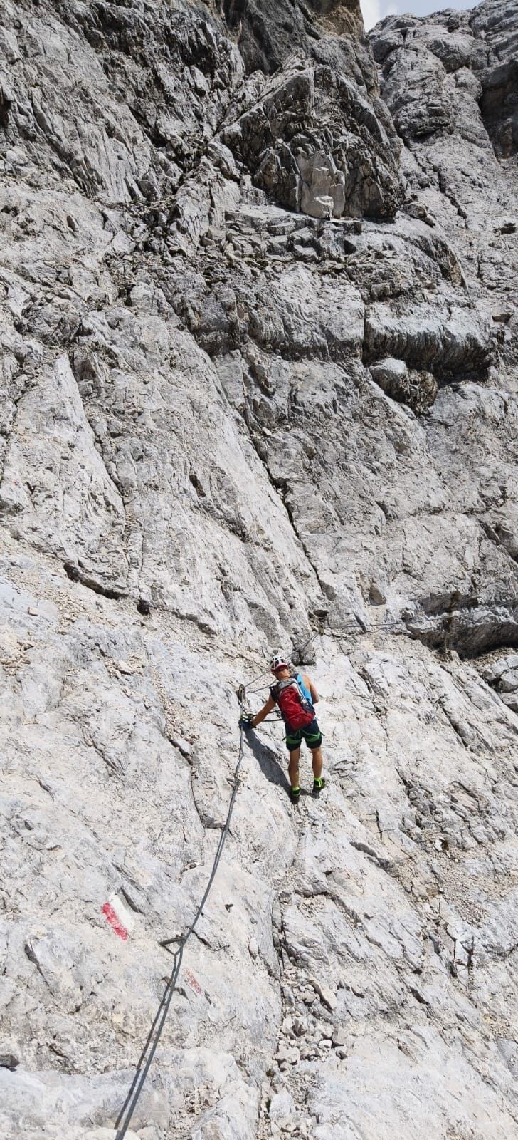
Via ferrata
20,89
km
Scan the QR code and start navigation in the bergfex app

Hiking & Tracking


Distance
20,89
km
Duration
07:24
h
Ascent
1.658
m
Sea level
1.160 -
2.661
m
Track download
Hohe Munde Überschreitung mit Klettersteig
medium
Via ferrata
20,89
km


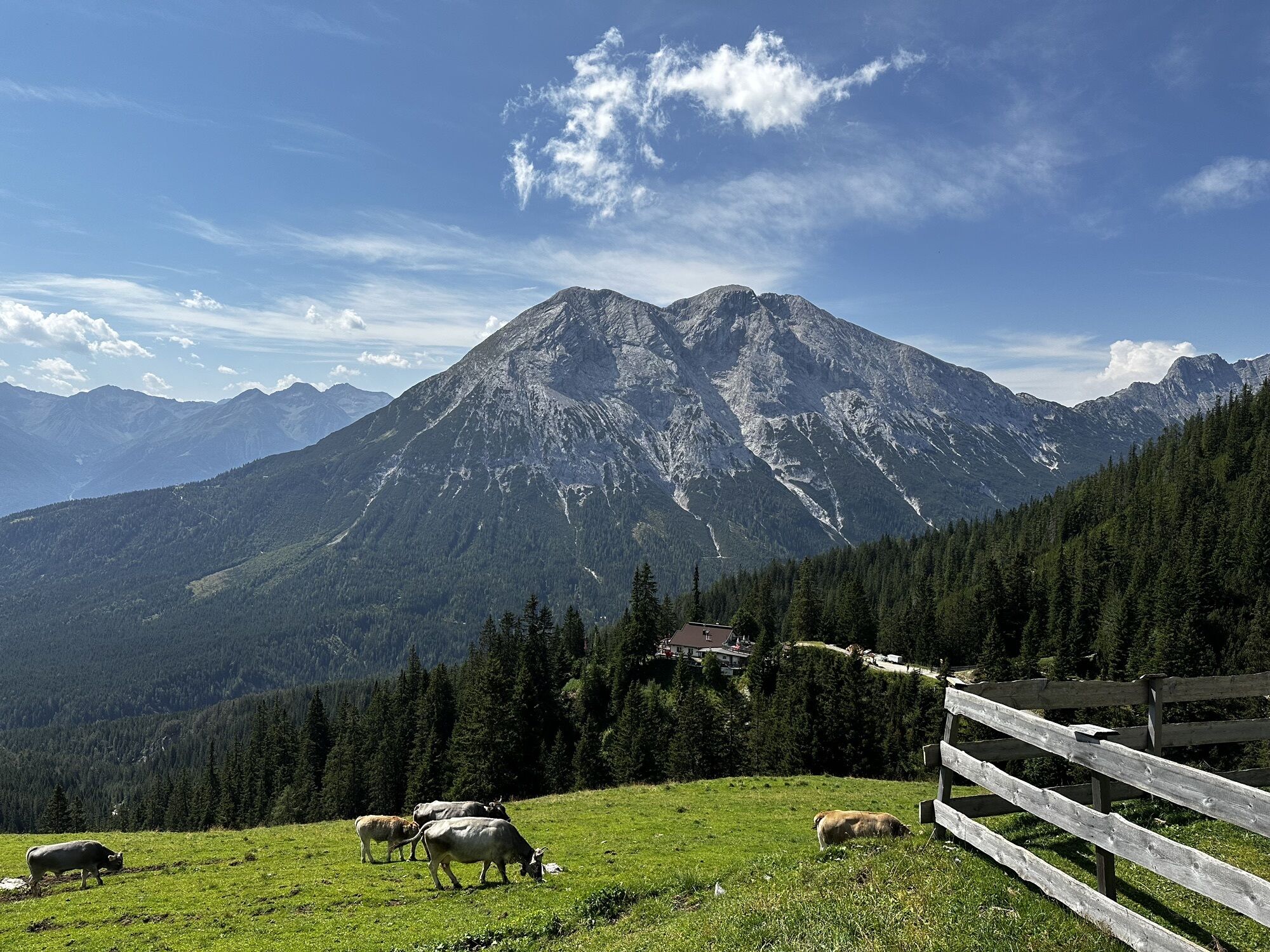
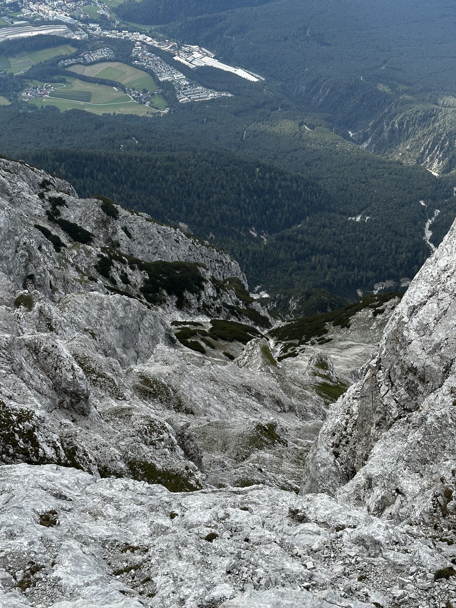
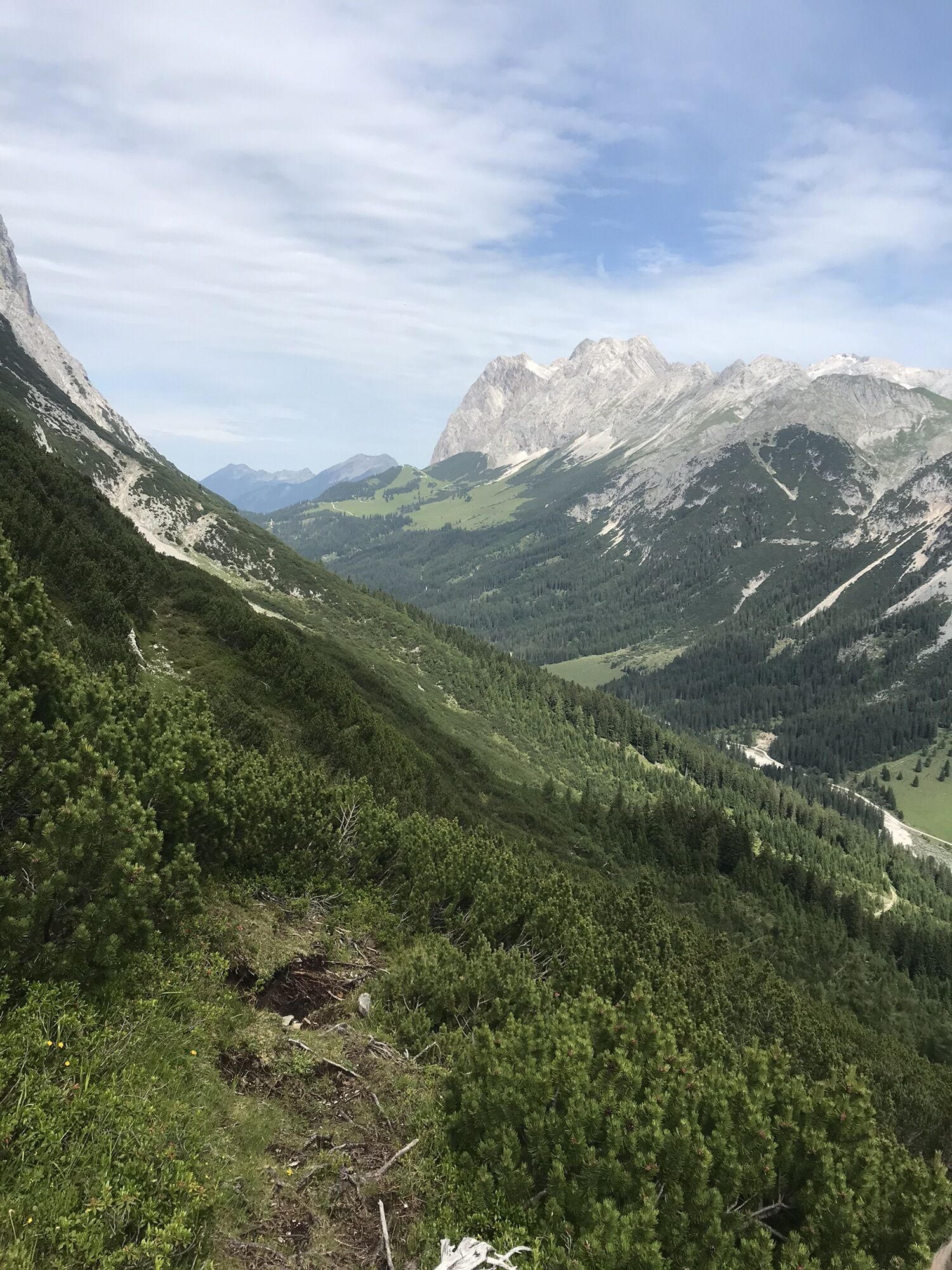
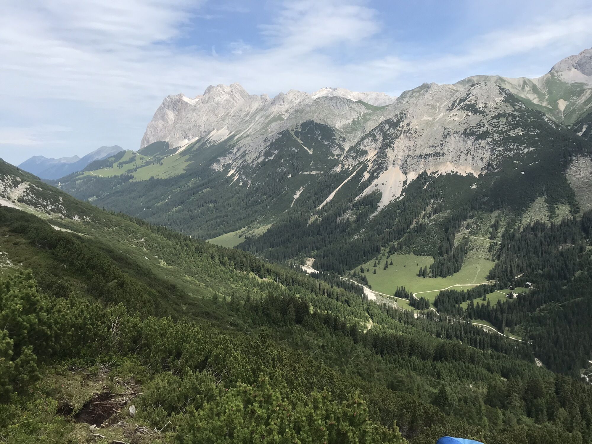
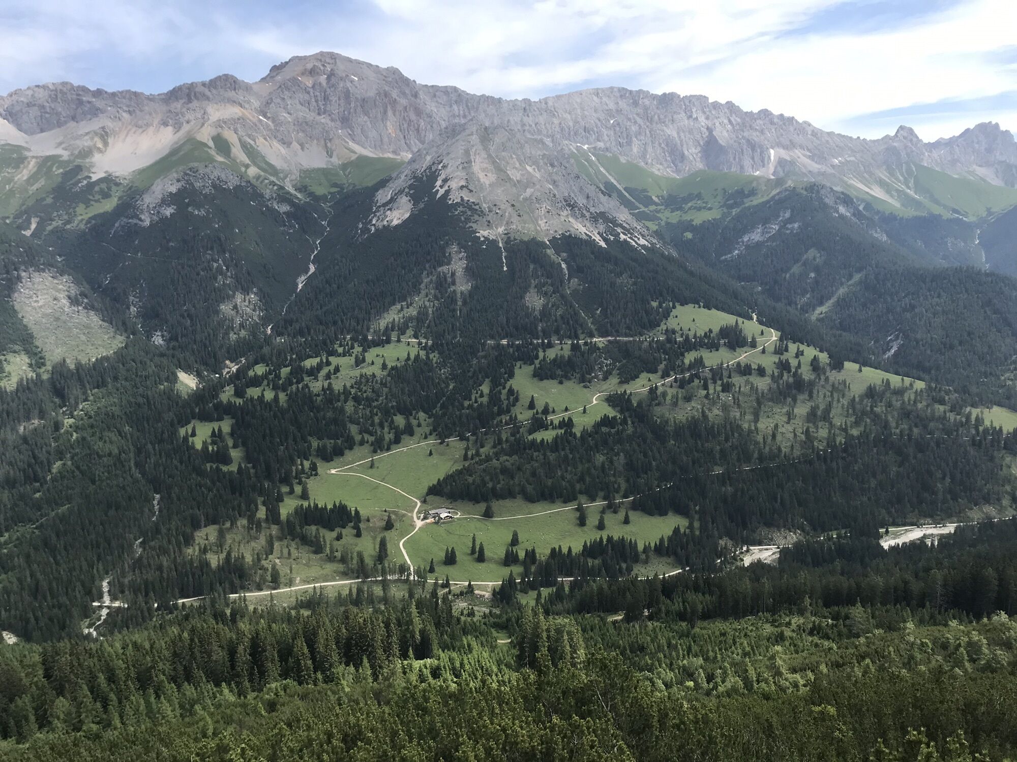
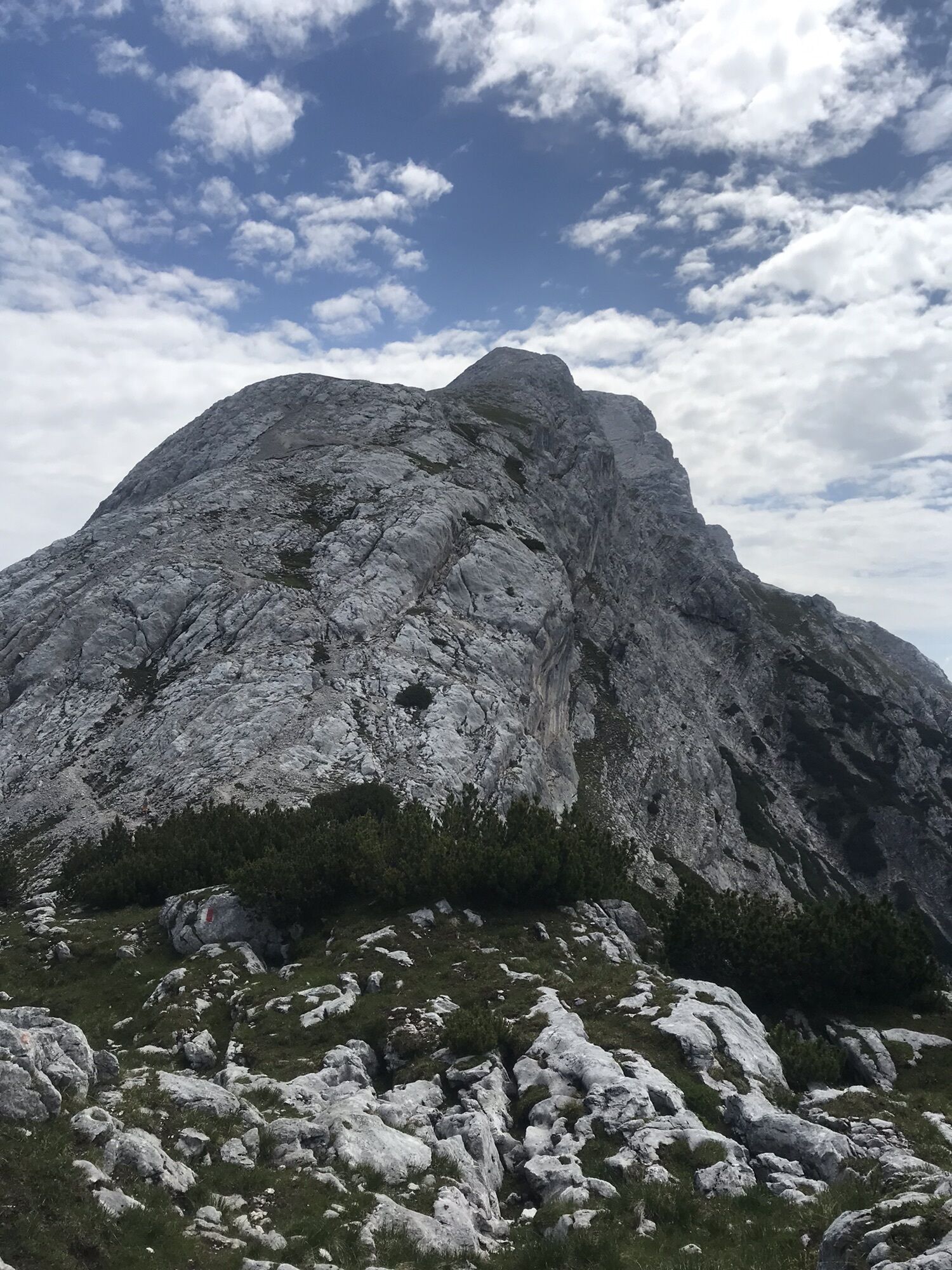
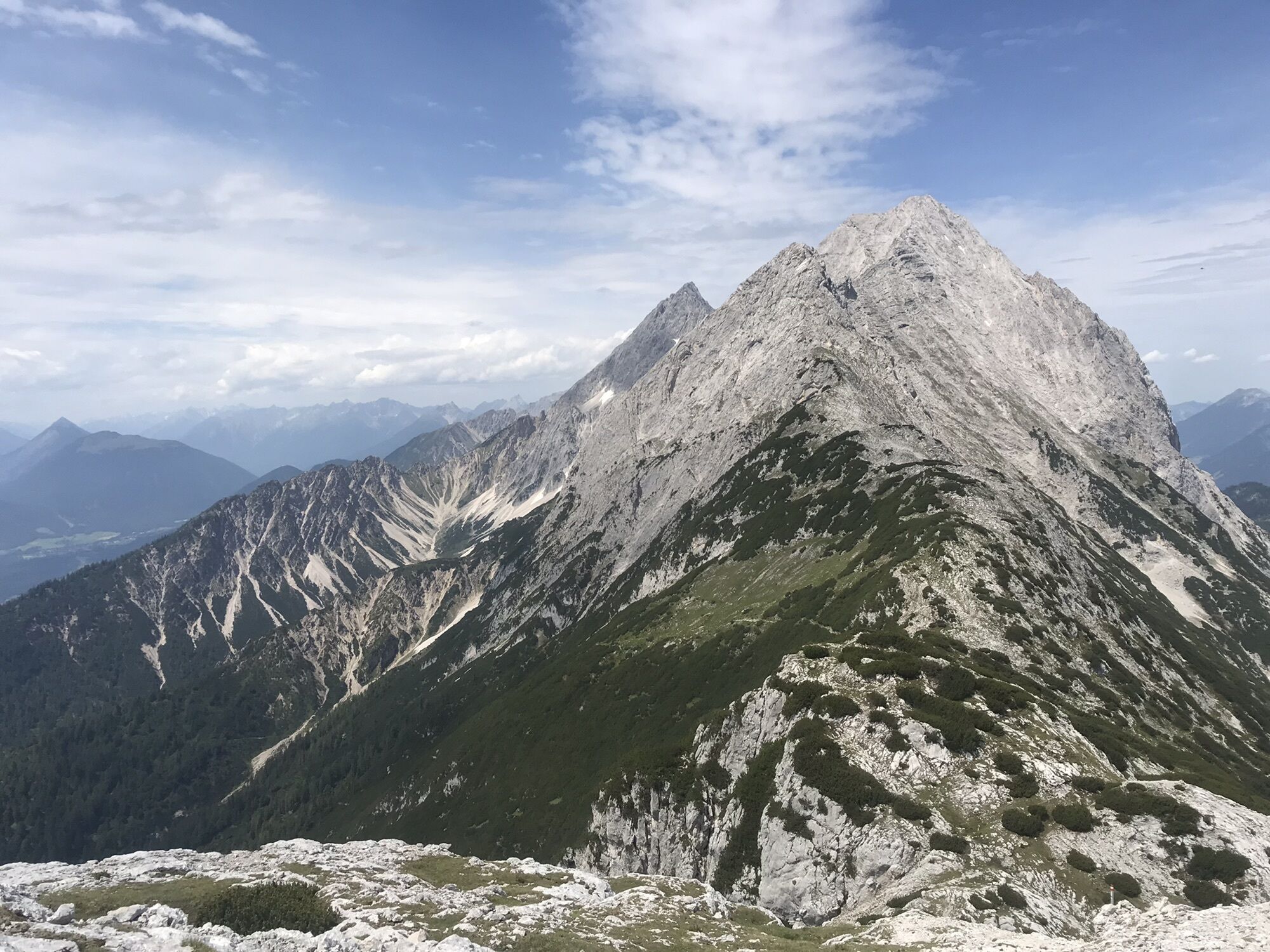
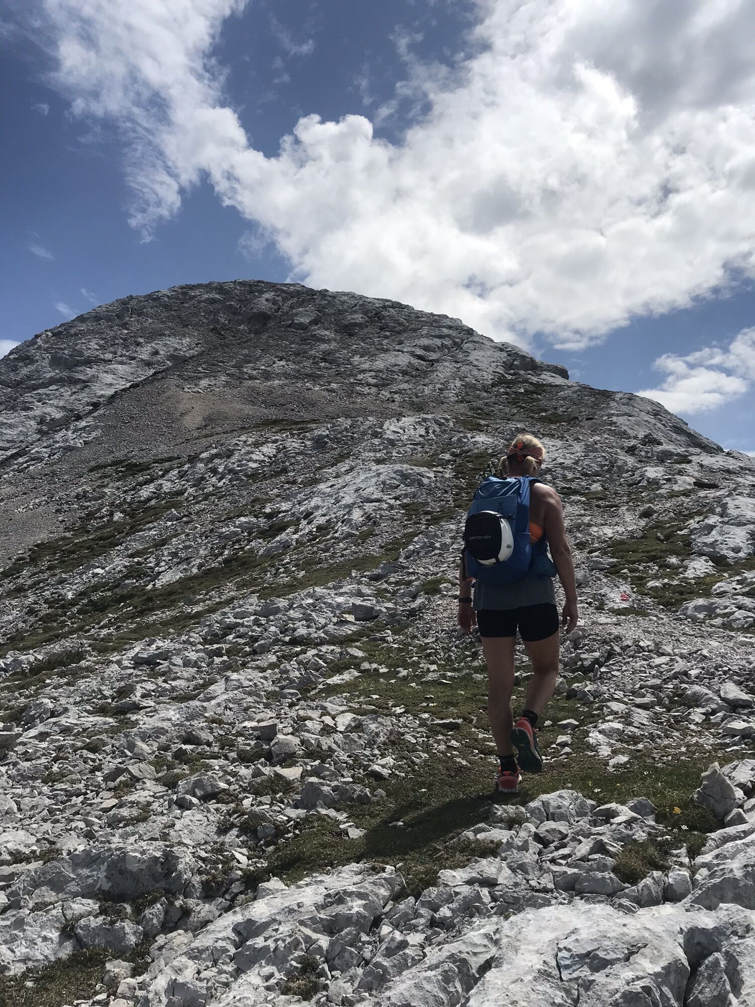
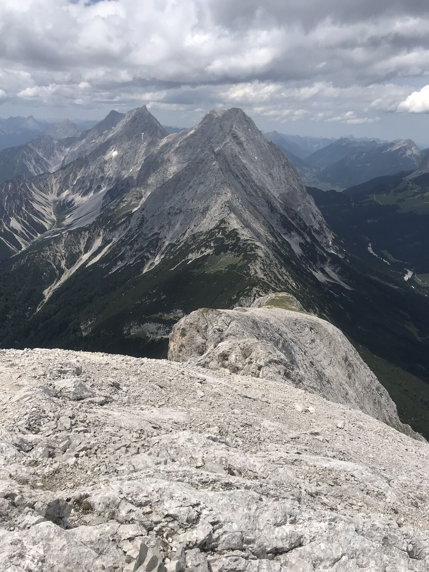
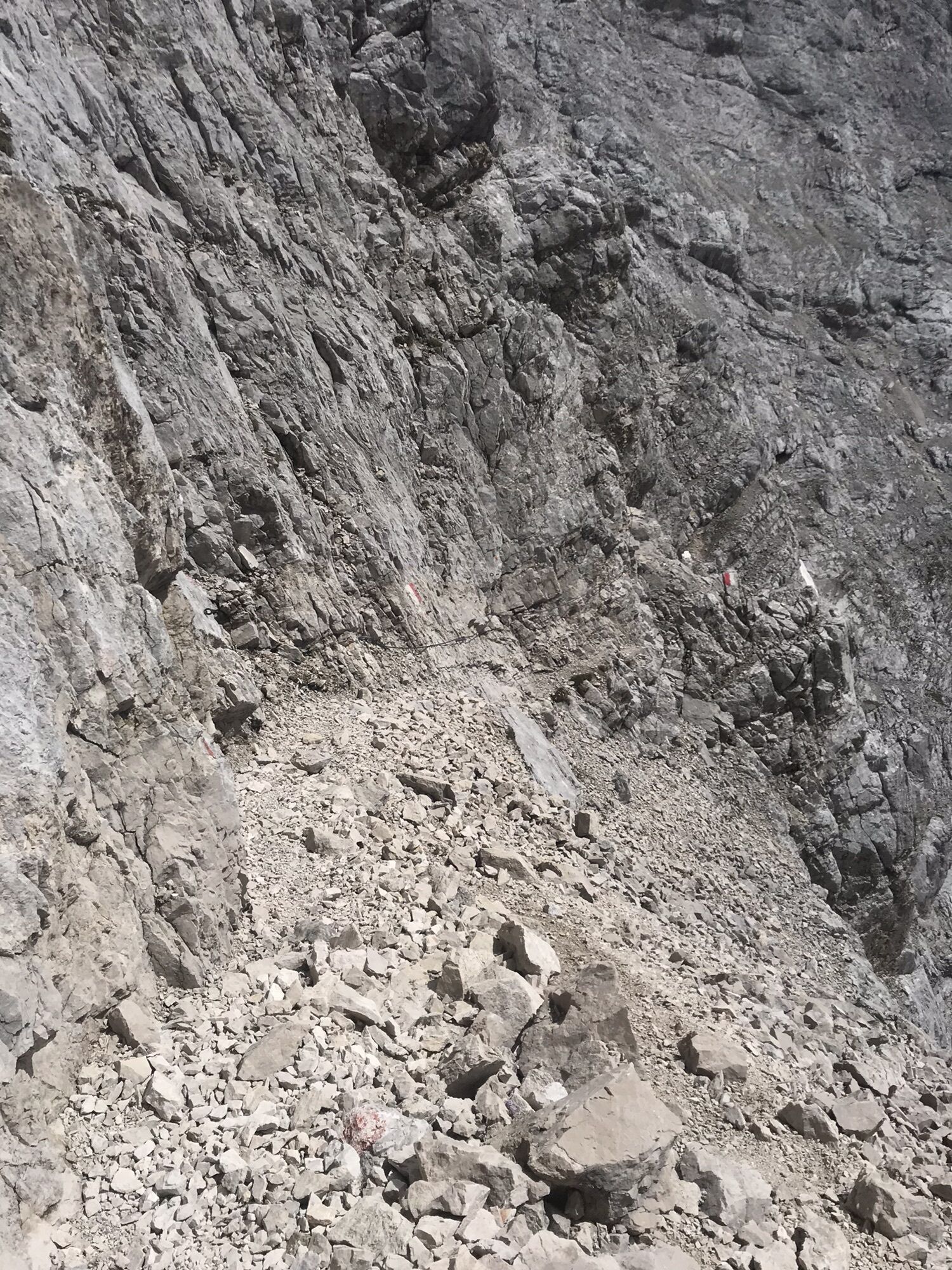
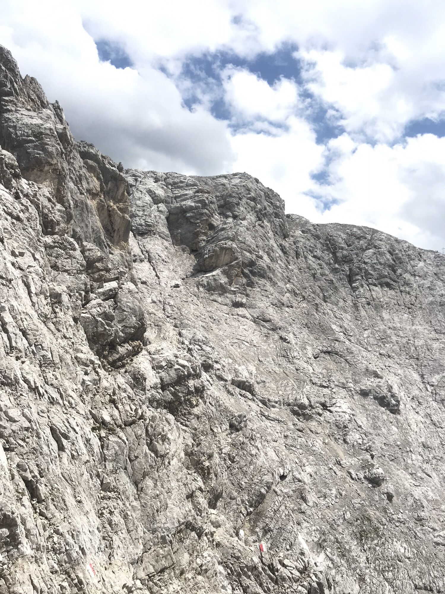
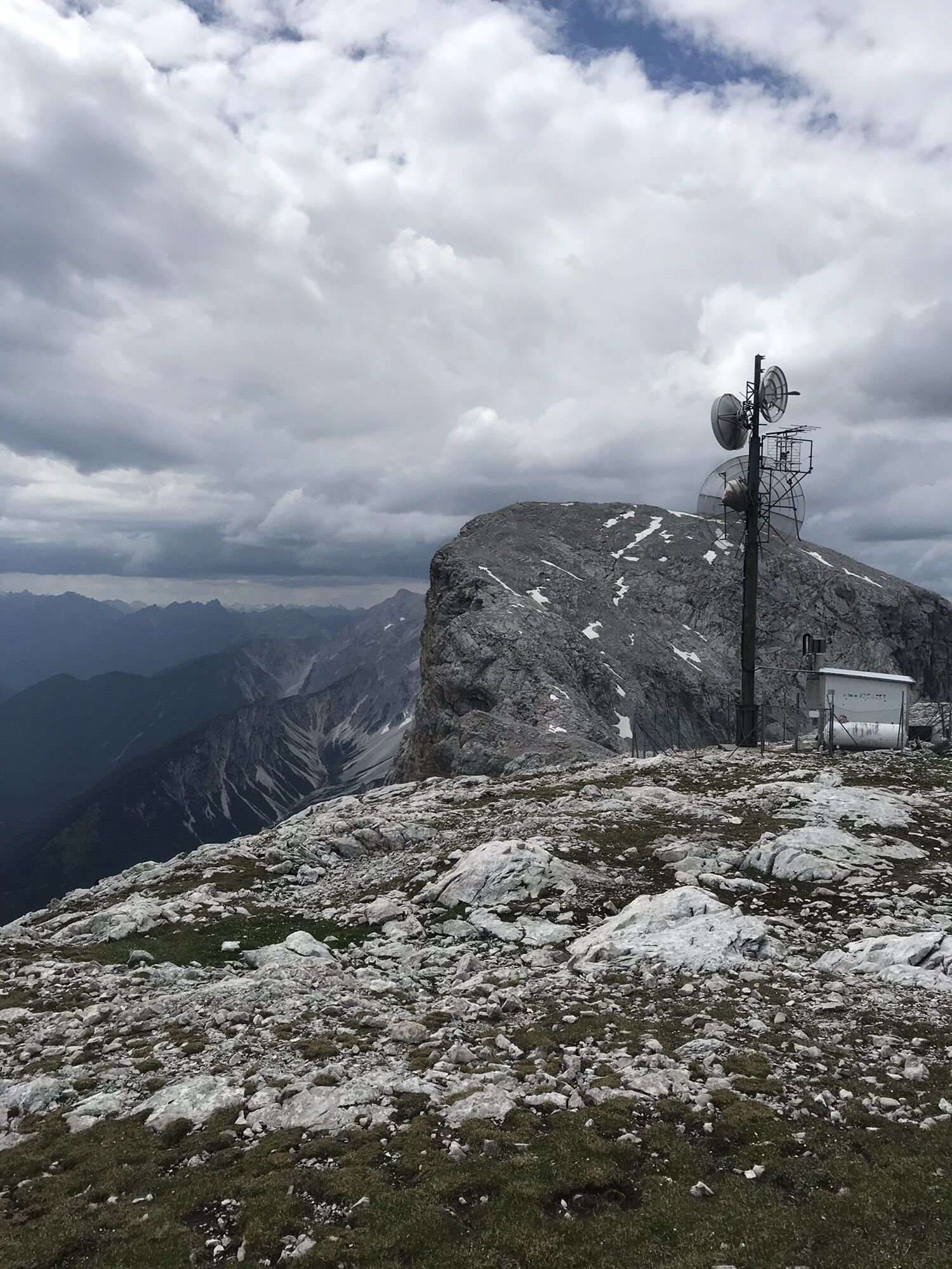
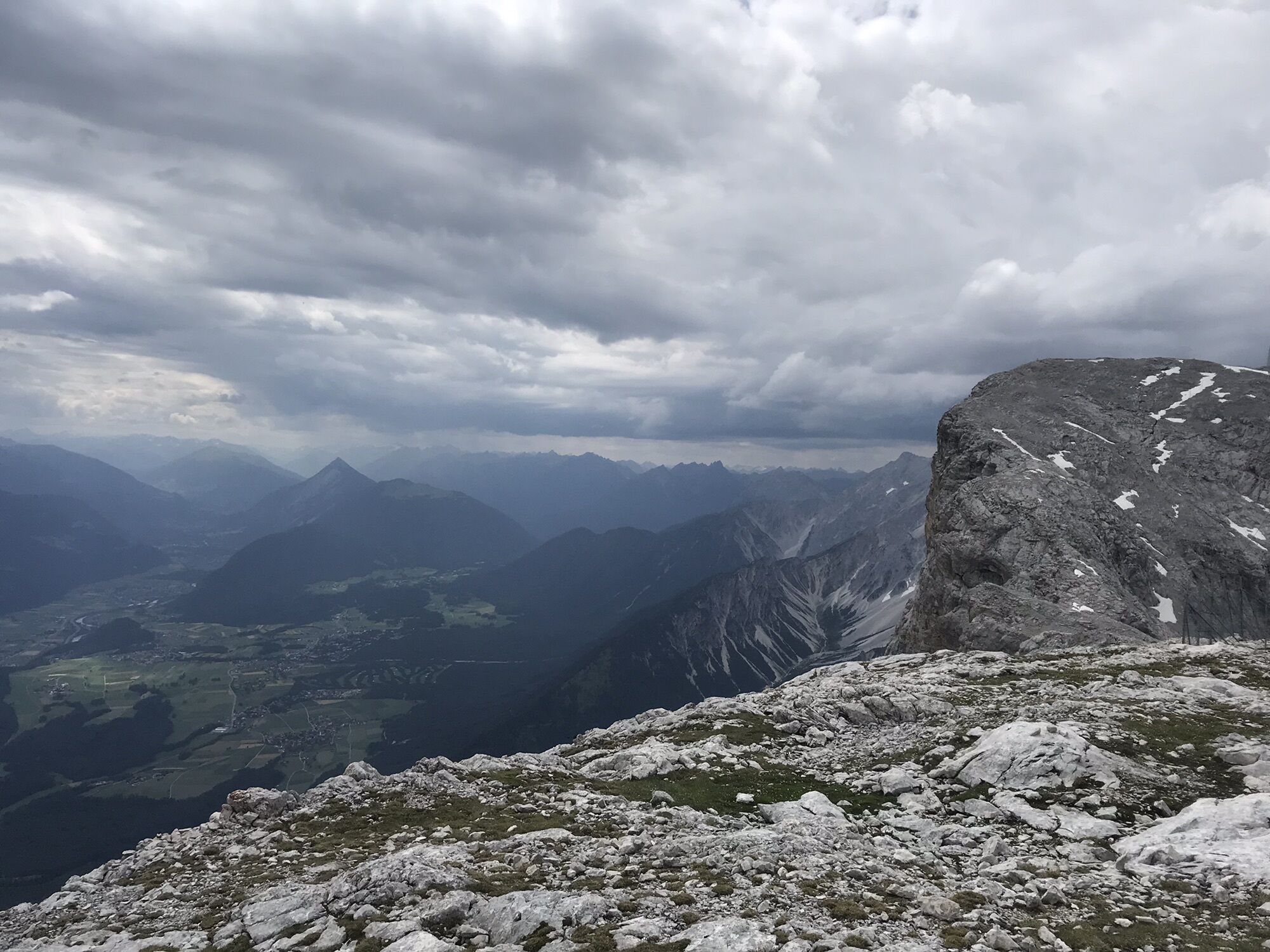
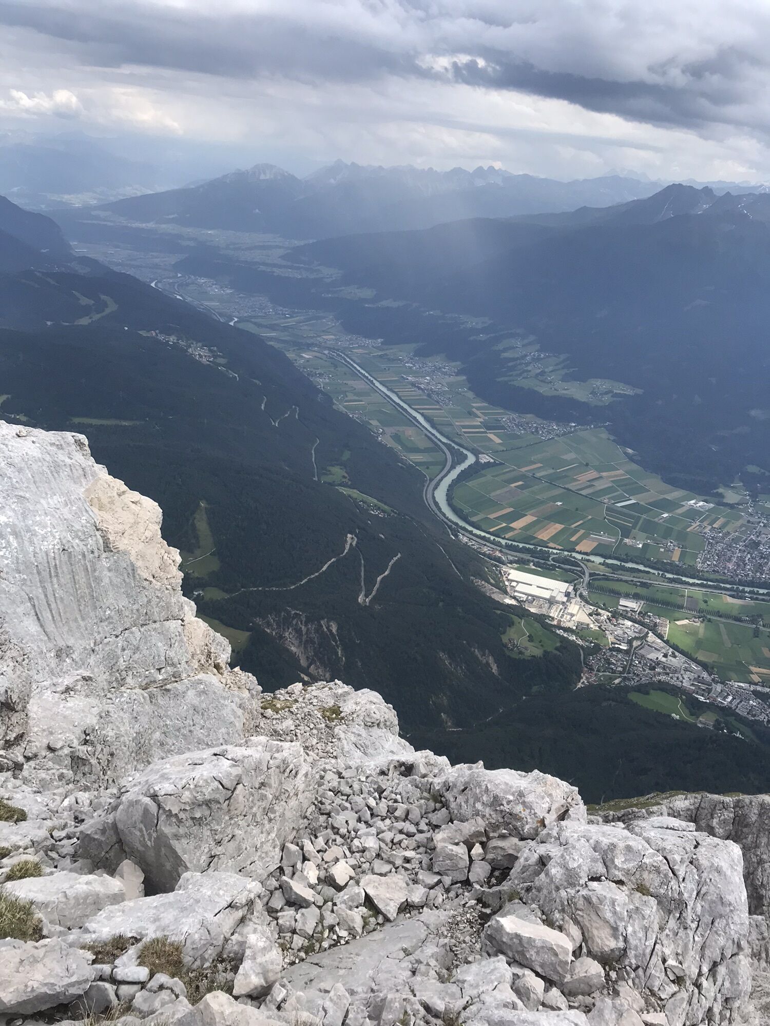
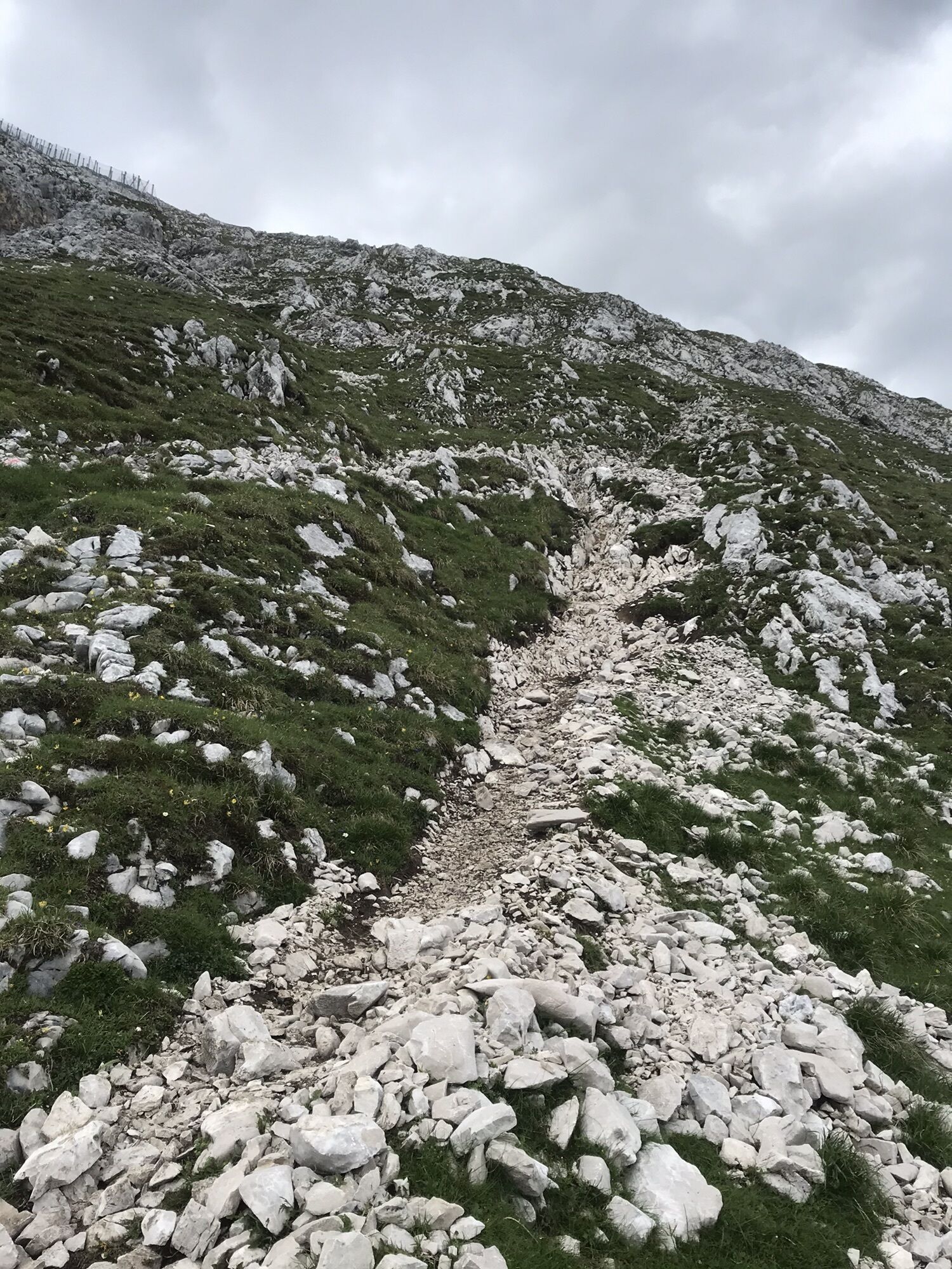
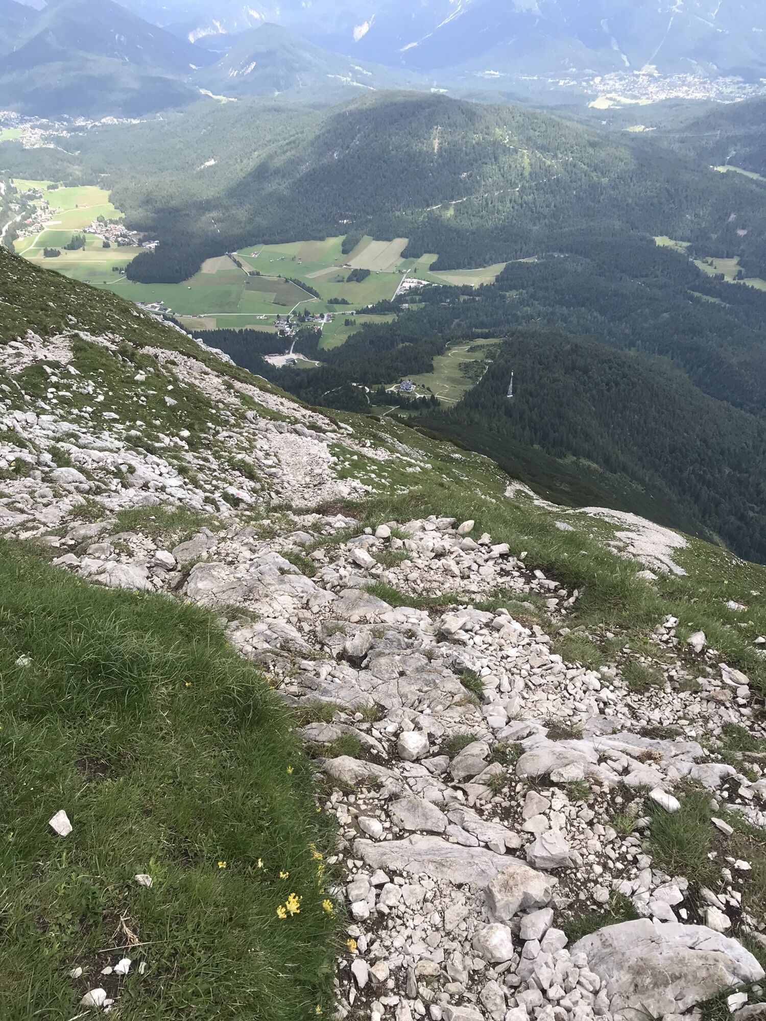
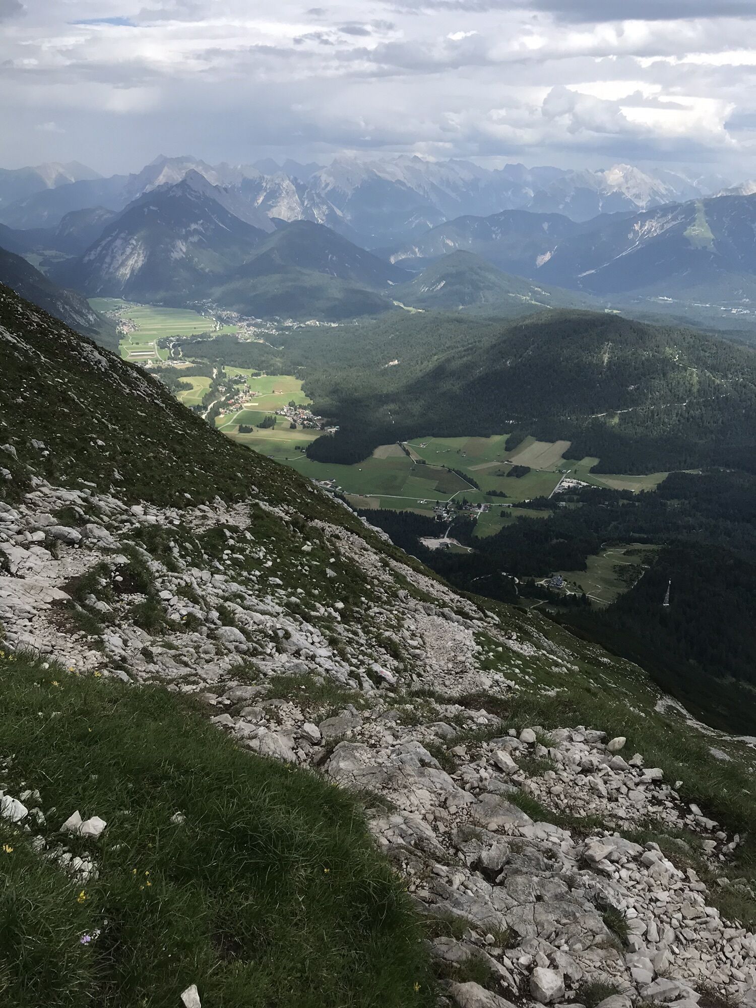
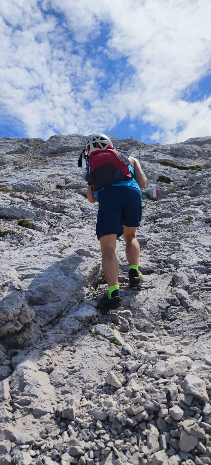
Kann auch in der anderen Richtung begangen werden. Kurzes 1 Stund ihre Klettersteig Stück. Abstieg sehr steinig mit vielen Stufen und Geröll.
Route
Obernkapelle
(1.173 m)
Place of worship
0,5 km
Obern
(1.173 m)
Settlement
0,5 km
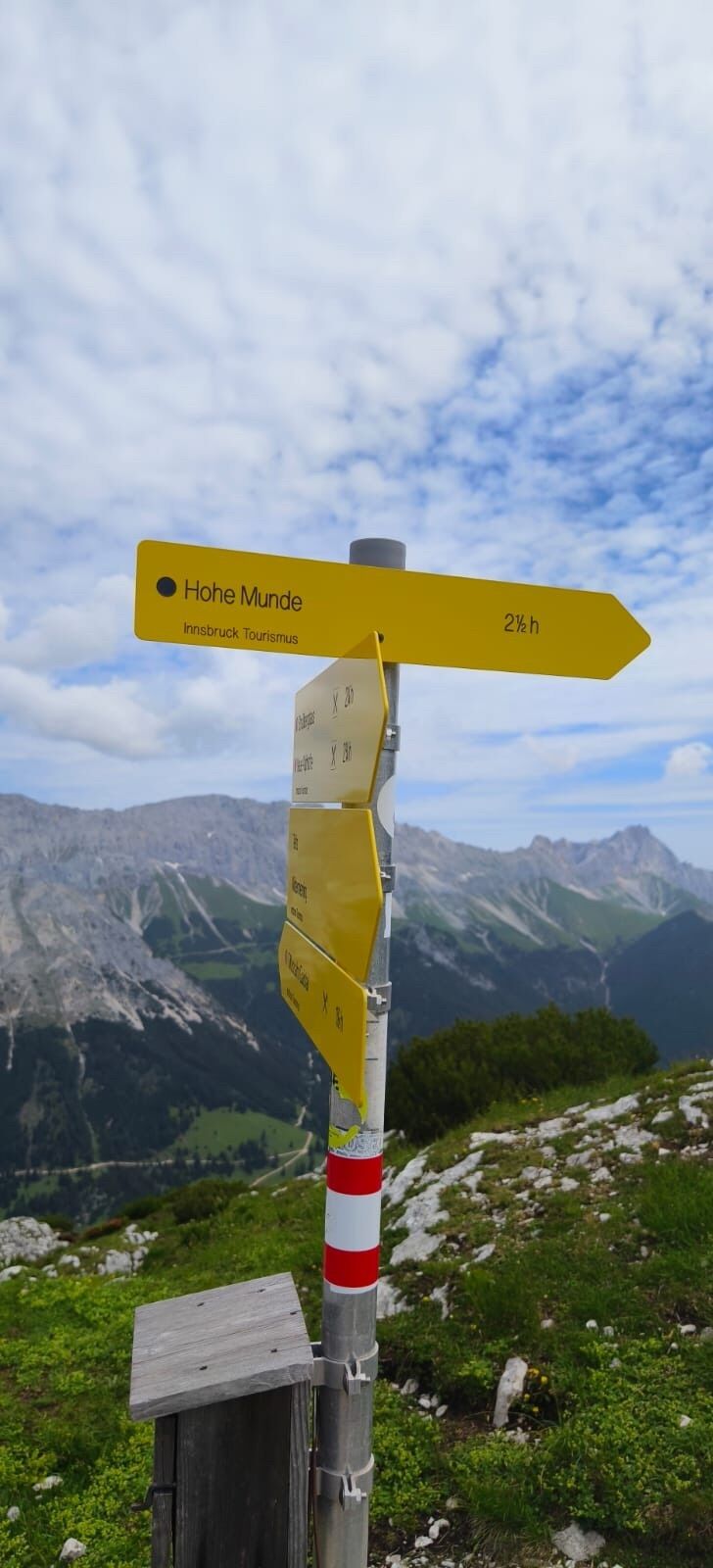
Niedere Munde
(2.059 m)
Mountain saddle
10,9 km
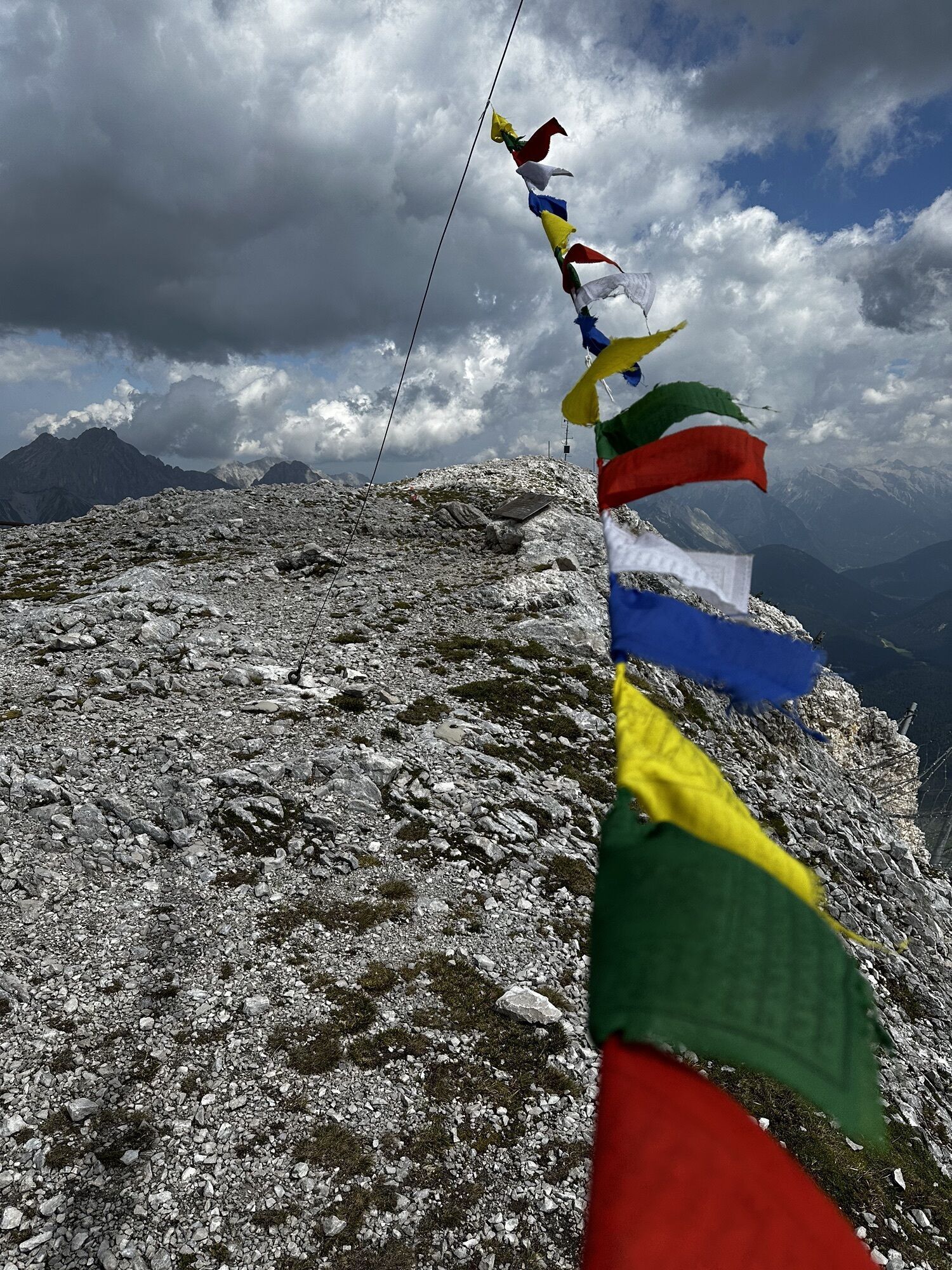
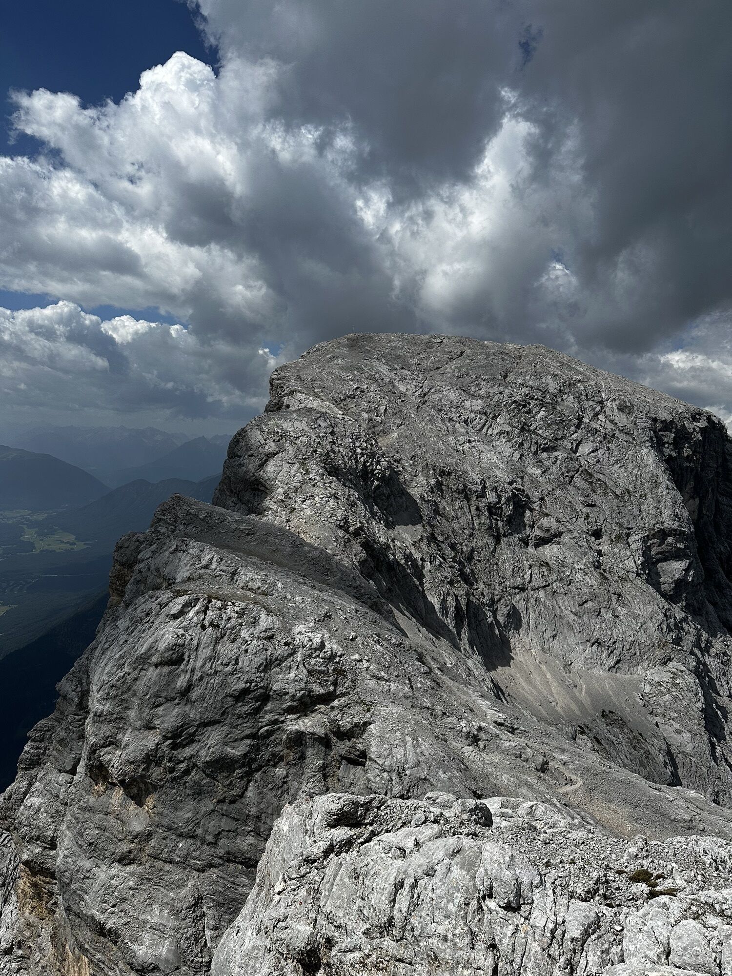
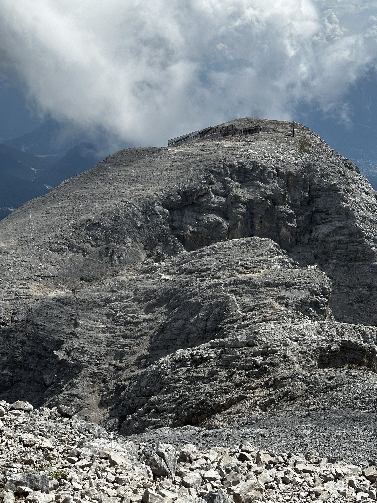
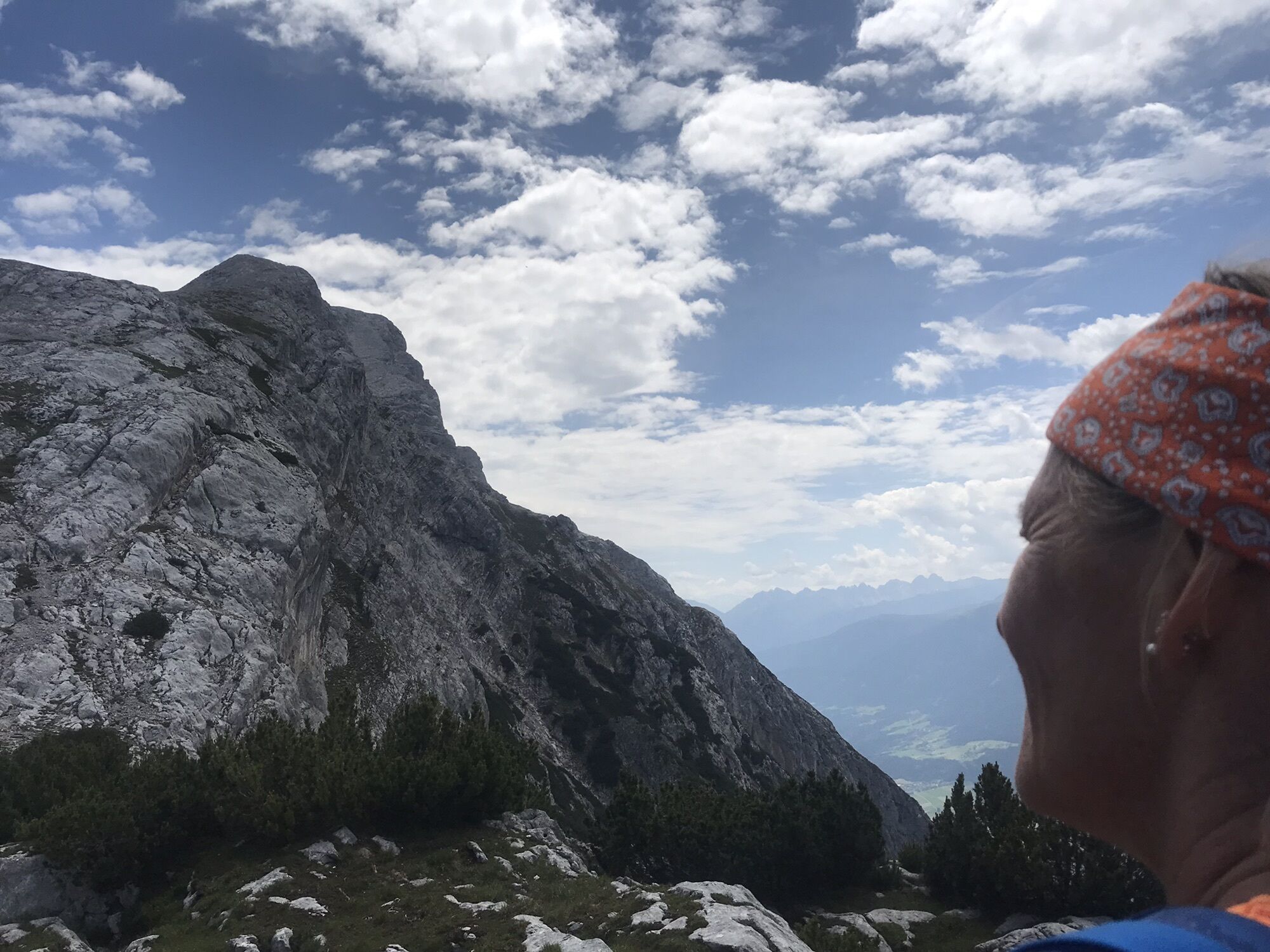
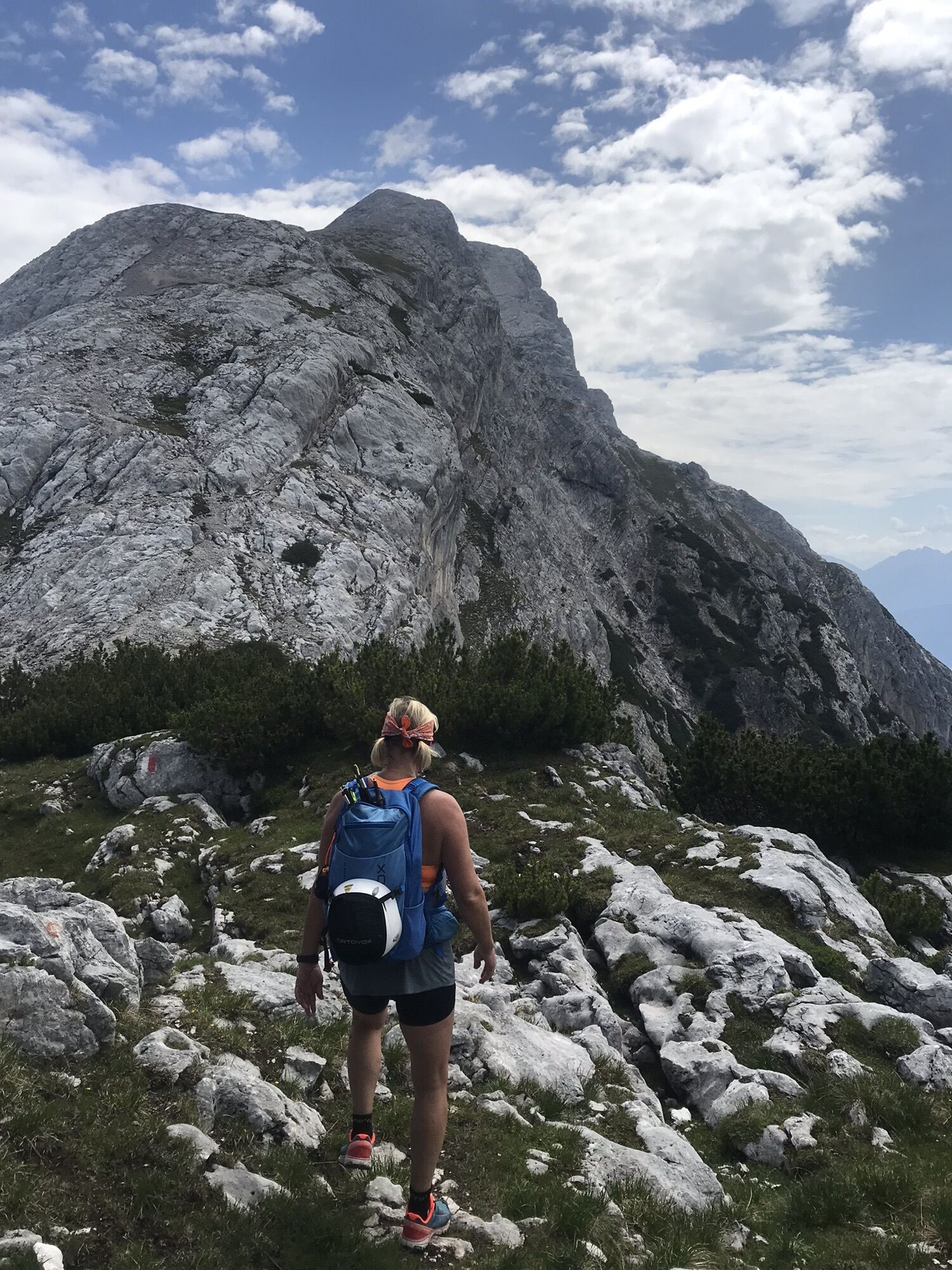
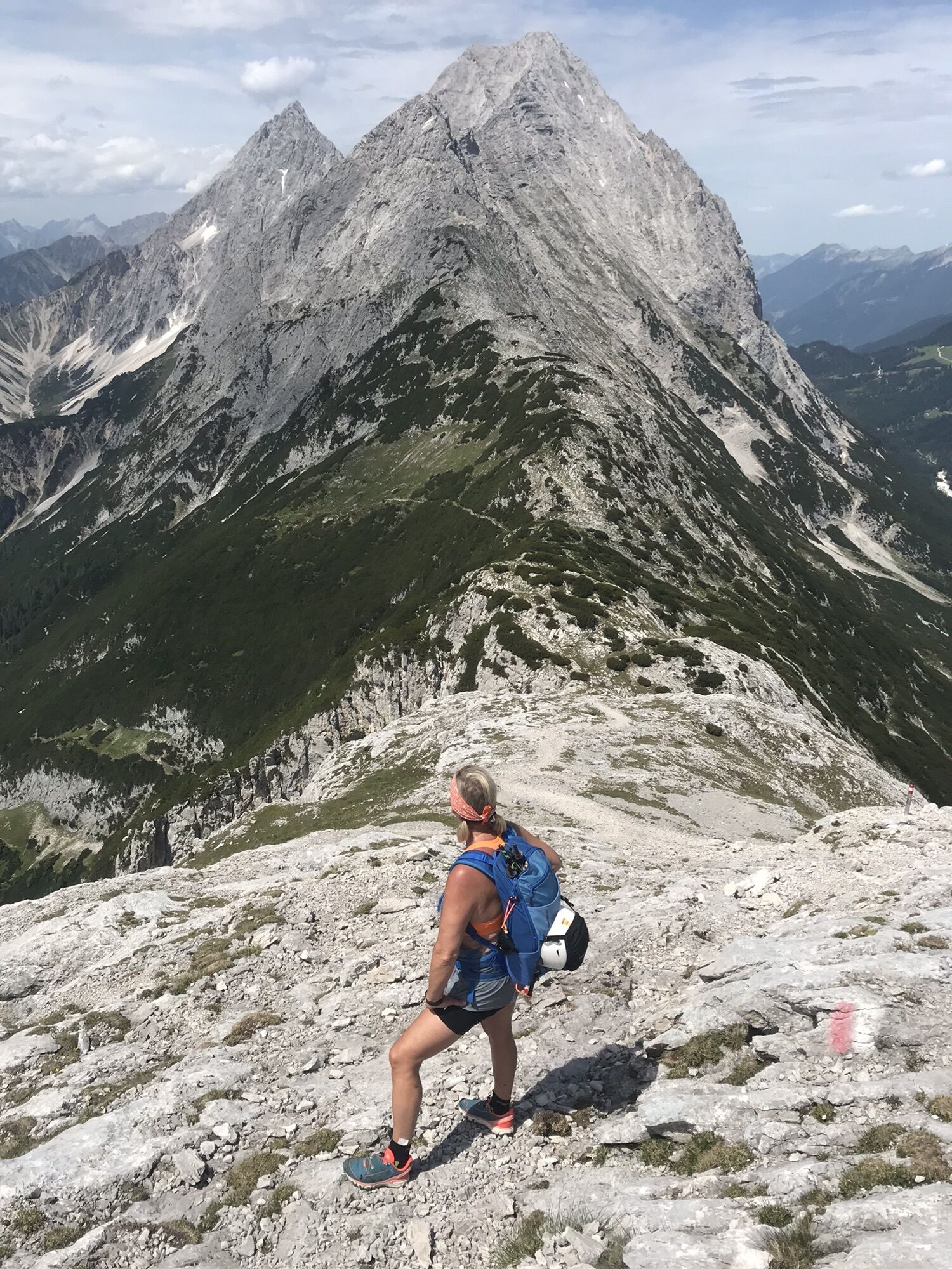
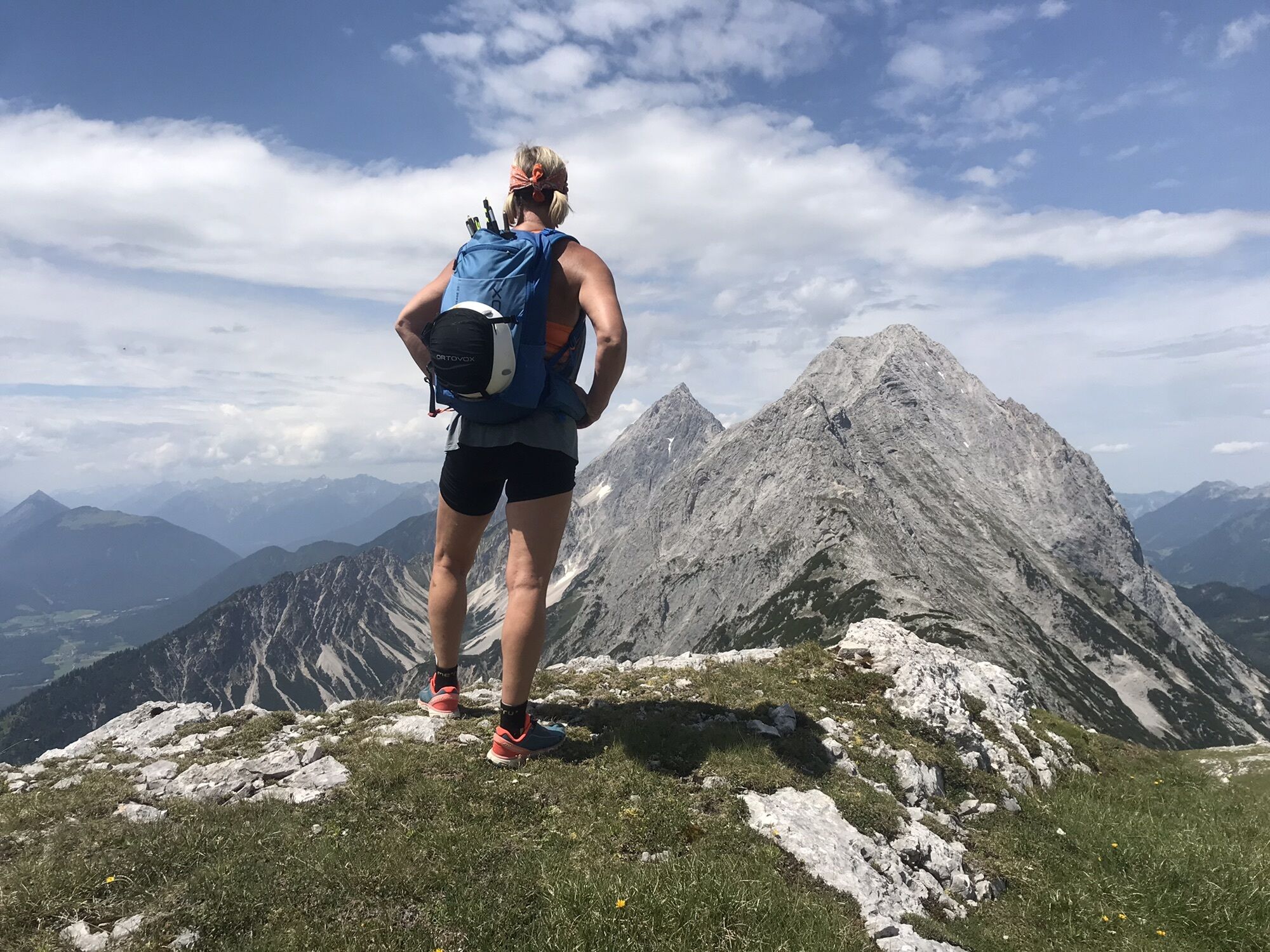
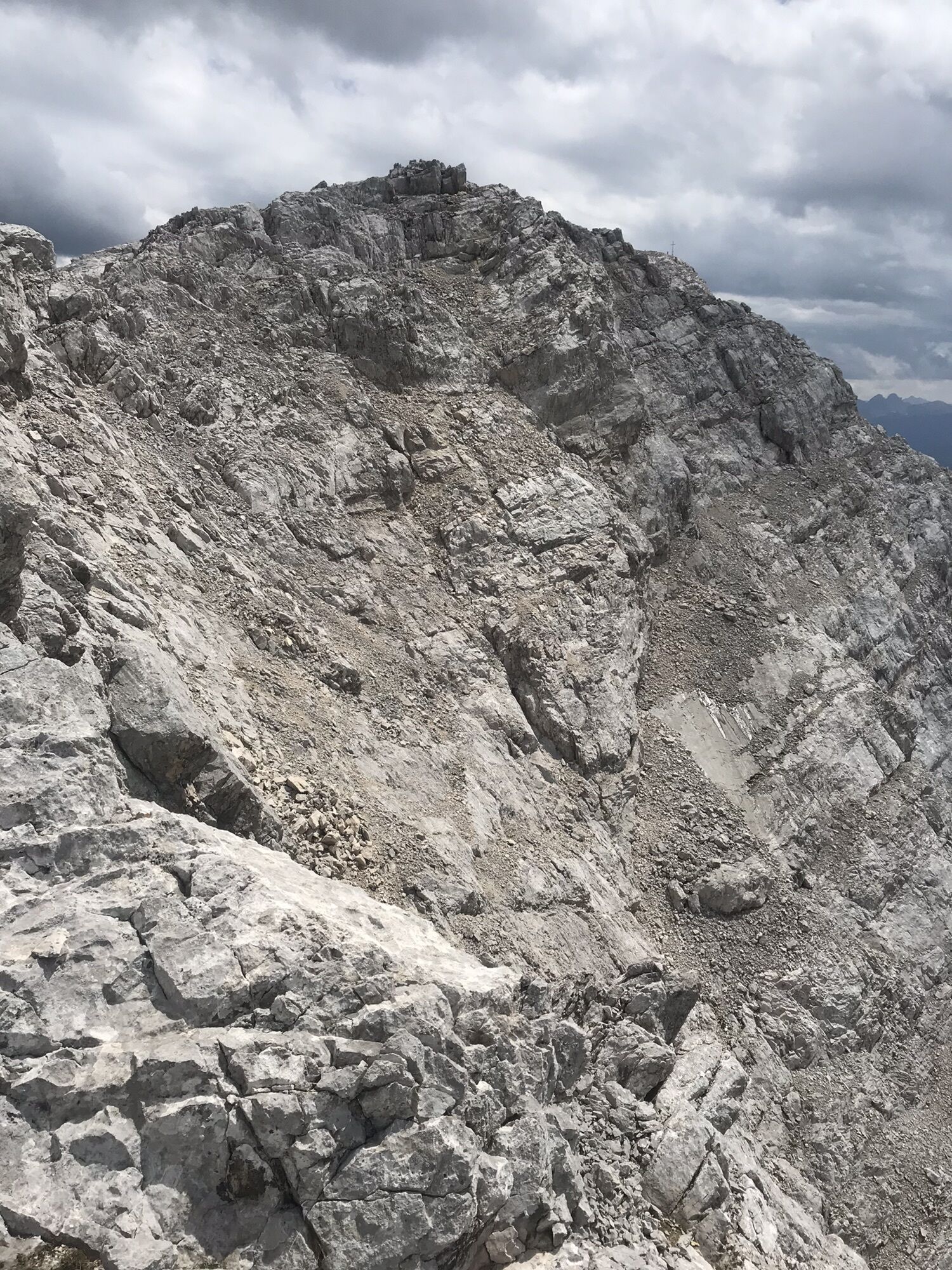
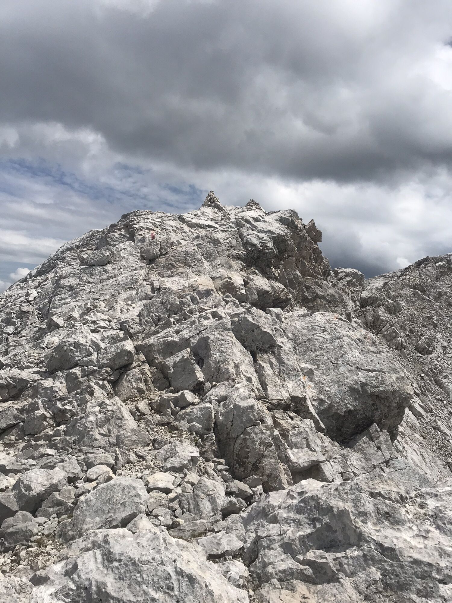
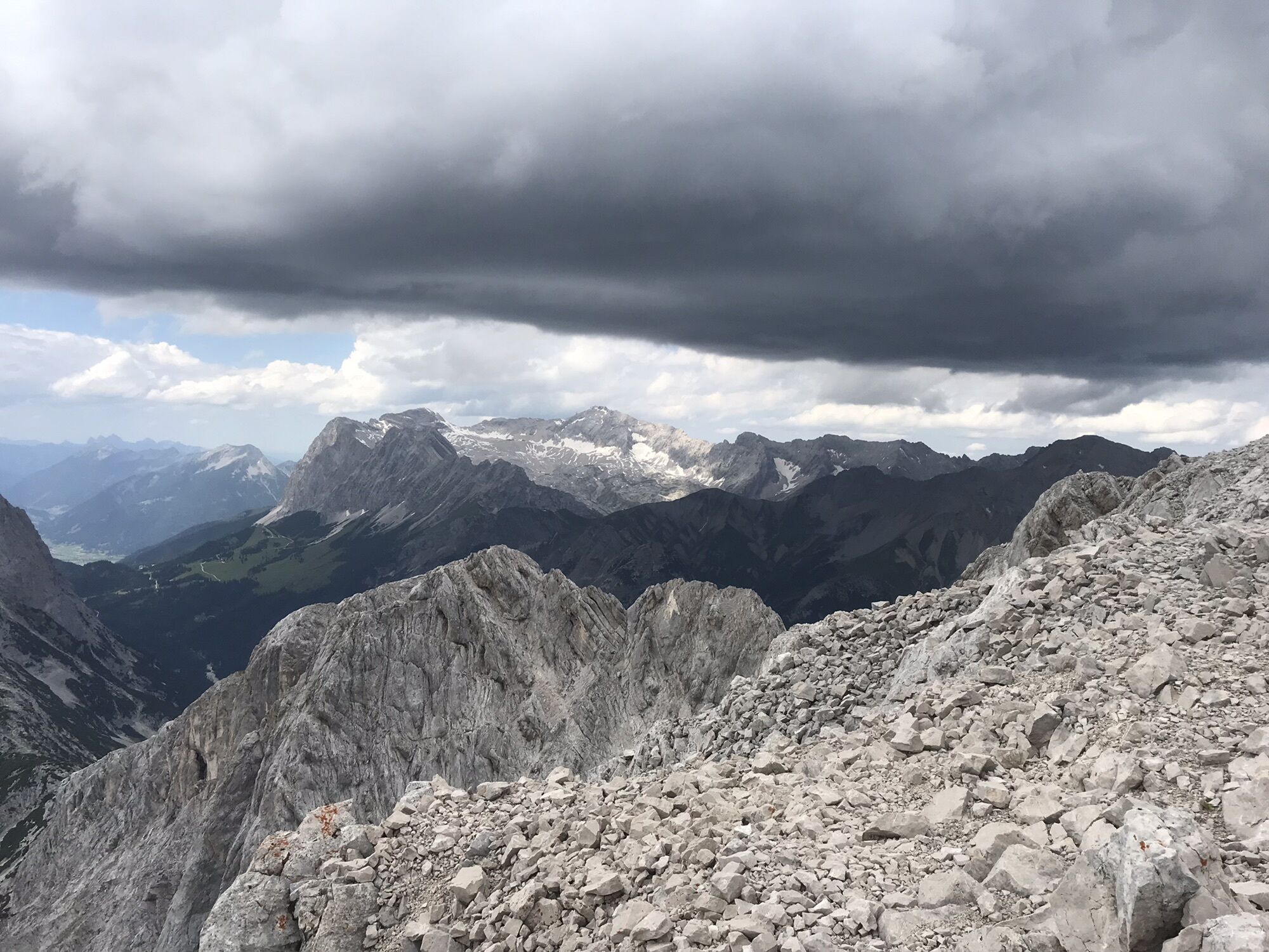
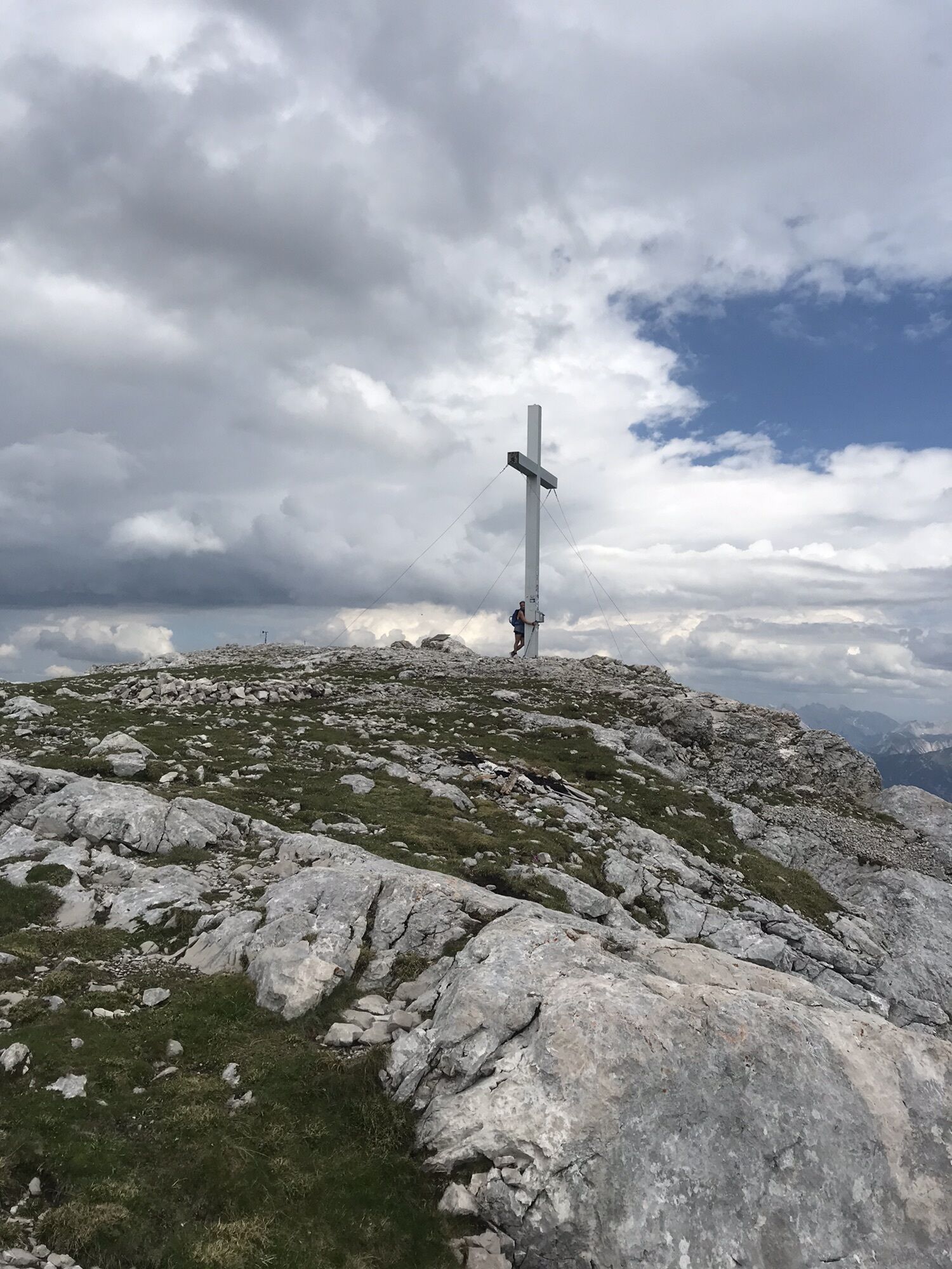
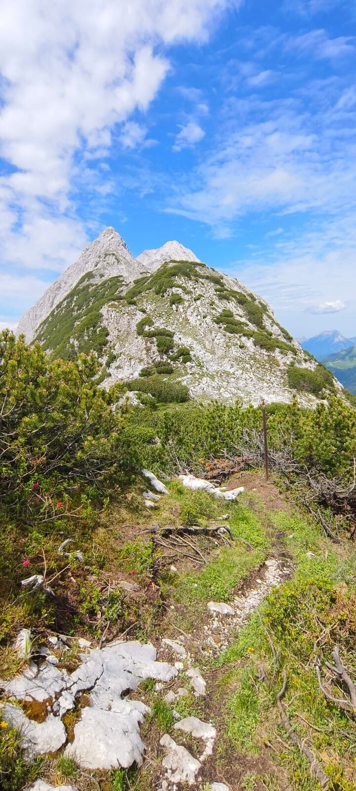
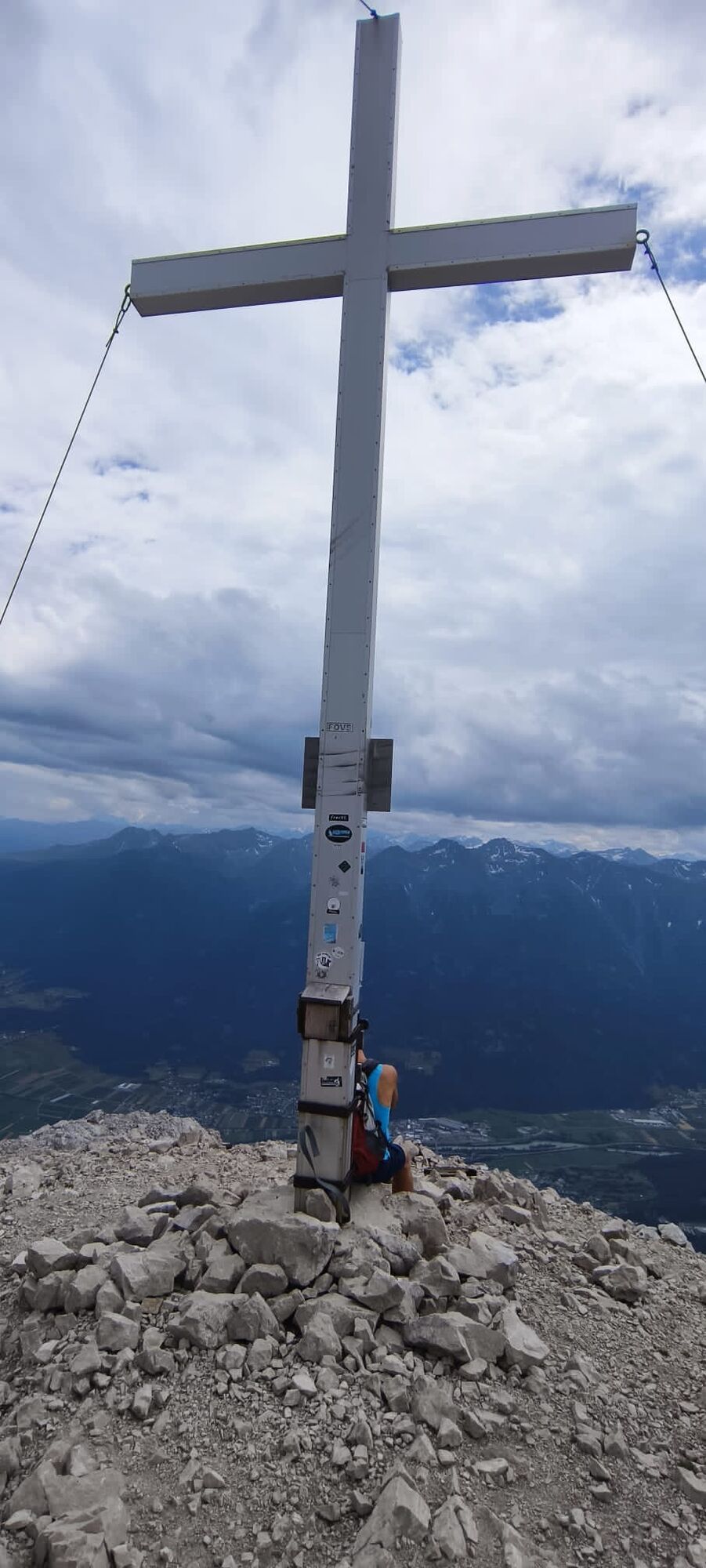
Hohe Munde Westgipfel
(2.662 m)
Summit
13,6 km
Hohe Munde Ostgipfel
(2.592 m)
Summit
14,6 km
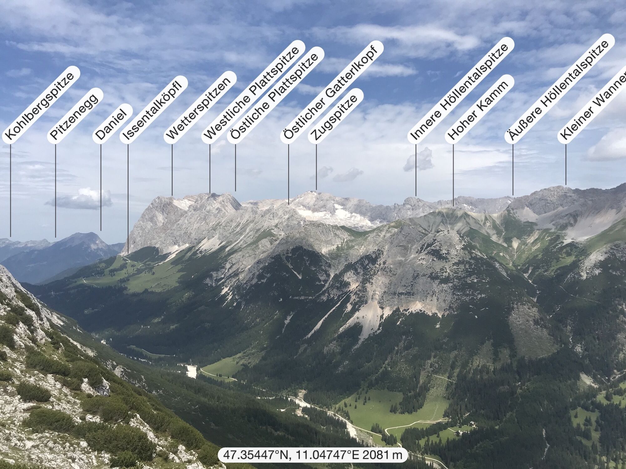
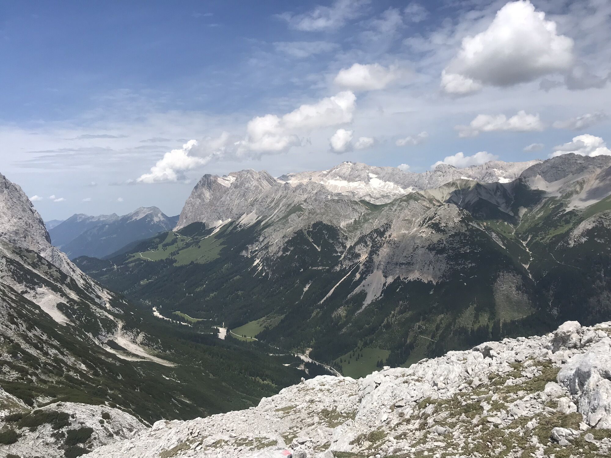
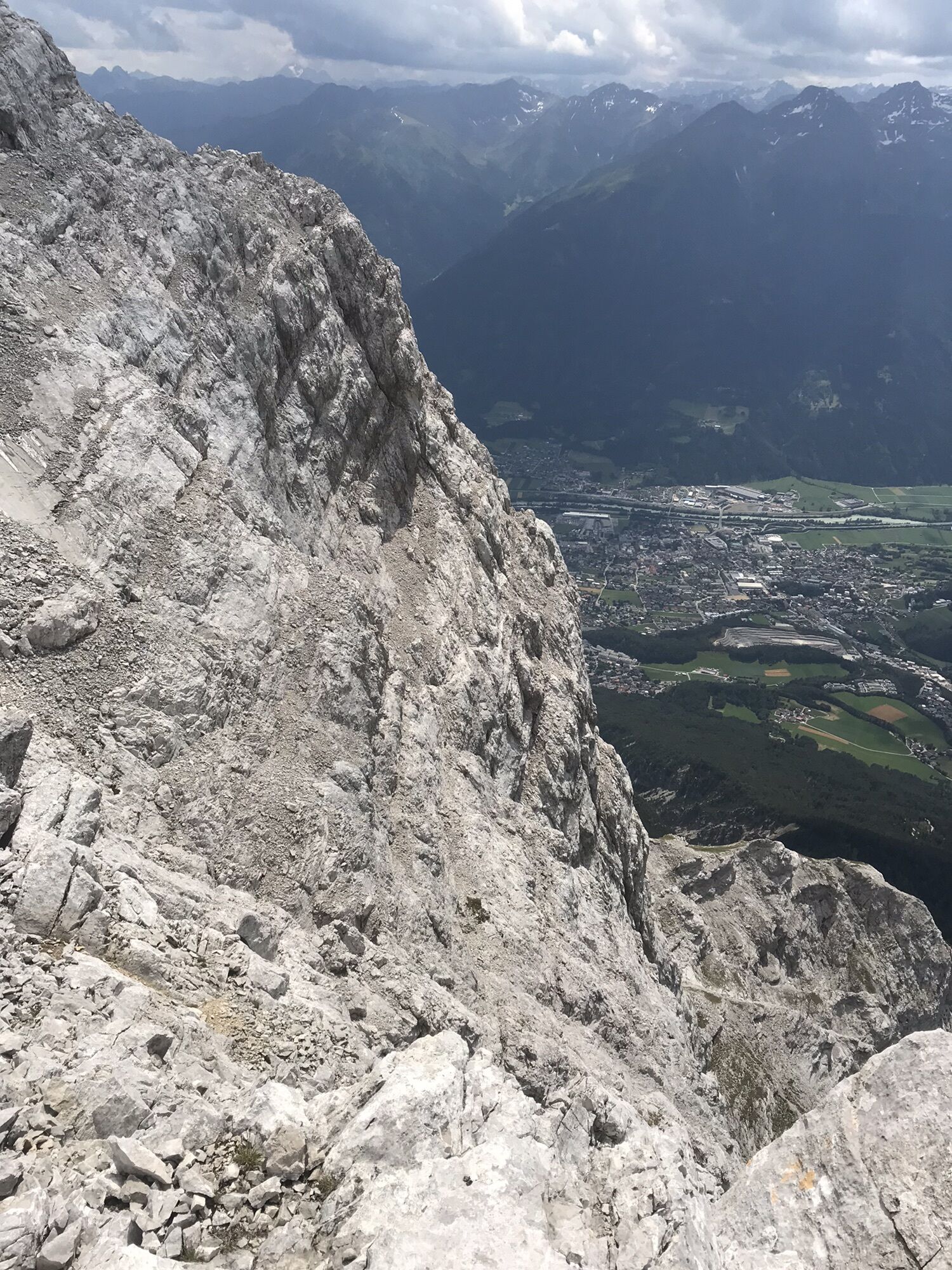
Zugspitzblick
(1.694 m)
Viewpoint
17,1 km
Rauthhütte
(1.604 m)
Shelter
17,7 km
Route
Hohe Munde Überschreitung mit Klettersteig
medium
Via ferrata
20,89
km
Tiroler Stub'n
(1.172 m)
Restaurant
0,4 km
Obernkapelle
(1.173 m)
Place of worship
0,5 km
Obern
(1.173 m)
Settlement
0,5 km
Gasthof Gaistal
(1.174 m)
Restaurant
0,5 km
Klamm
(1.175 m)
Settlement
0,8 km
Niedere Munde
(2.059 m)
Mountain saddle
10,9 km
Hohe Munde Westgipfel
(2.662 m)
Summit
13,6 km
Hohe Munde Ostgipfel
(2.592 m)
Summit
14,6 km
Hüttenrinner
(1.870 m)
Corridor/terrain
16,6 km
Zugspitzblick
(1.694 m)
Viewpoint
17,1 km
Rauthhütte
(1.604 m)
Shelter
17,7 km
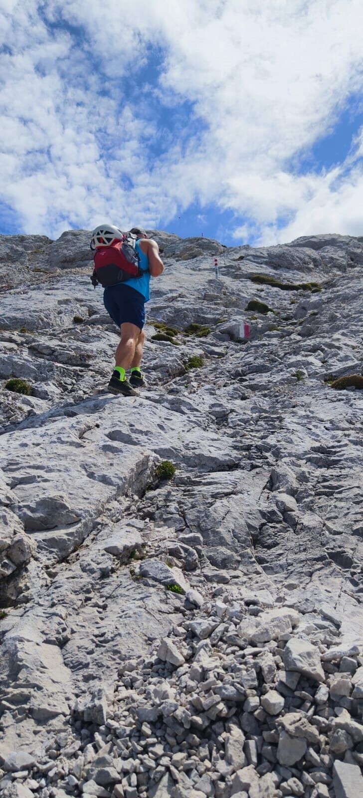
Equipment
Helm Klettersteig set, Stöcke helfen
No reviews yet
Popular tours in the neighbourhood
- 4,6
Ehrwald / Drachensee / Coburger Hütte / Seebensee
mediumHiking14,8 km - 4,5
Garmisch/ Reintal/ Zugspitze
mediumHiking26,7 km - 4,2
"Königstour" über die Gipfel
Hiking4,52 km - 4,8
Zugspitze
heavyHiking8,45 km - 4,9
EHRWALD | Seebensee und Drachensee
mediumHiking14,1 km - 4,6
Leutaschklamm
lightHiking4,55 km - 5,0
Zugspitze über Stopselziehersteig
heavyHiking12,2 km - 5,0
Bike & Hike Seebensee & Drachensee
mediumMountainbike15,6 km - 4,0
Zugspitze (von Ehrwald über Stopselzieher und über Gatterl zurück)
heavyHiking28,2 km - 4,7
Zugspitze
heavyHiking6,88 km
Hiking & Tracking

Over 550.000 tour suggestions, detailed maps and an intuitive route planner make the app a must-have for all nature enthusiasts.

Don't miss out on offers and inspiration for your next holiday
Subscribe to the newsletter
Error
An error has occurred. Please try again.Thank you for your registration
Your e-mail address has been added to the mailing list.
Tours throughout Europe
Austria Switzerland Germany Italy Slovenia France Netherlands Belgium Poland Liechtenstein Czechia Slovakia Spain Croatia Bosnia and Herzegovina Luxembourg Andorra Portugal Iceland United Kingdom Ireland Greece Albania North Macedonia Malta Norway Montenegro Moldova Kosovo Hungary San Marino Romania Estonia Latvia Belarus Cyprus Lithuania Serbia Bulgaria Monaco Denmark Sweden Finland