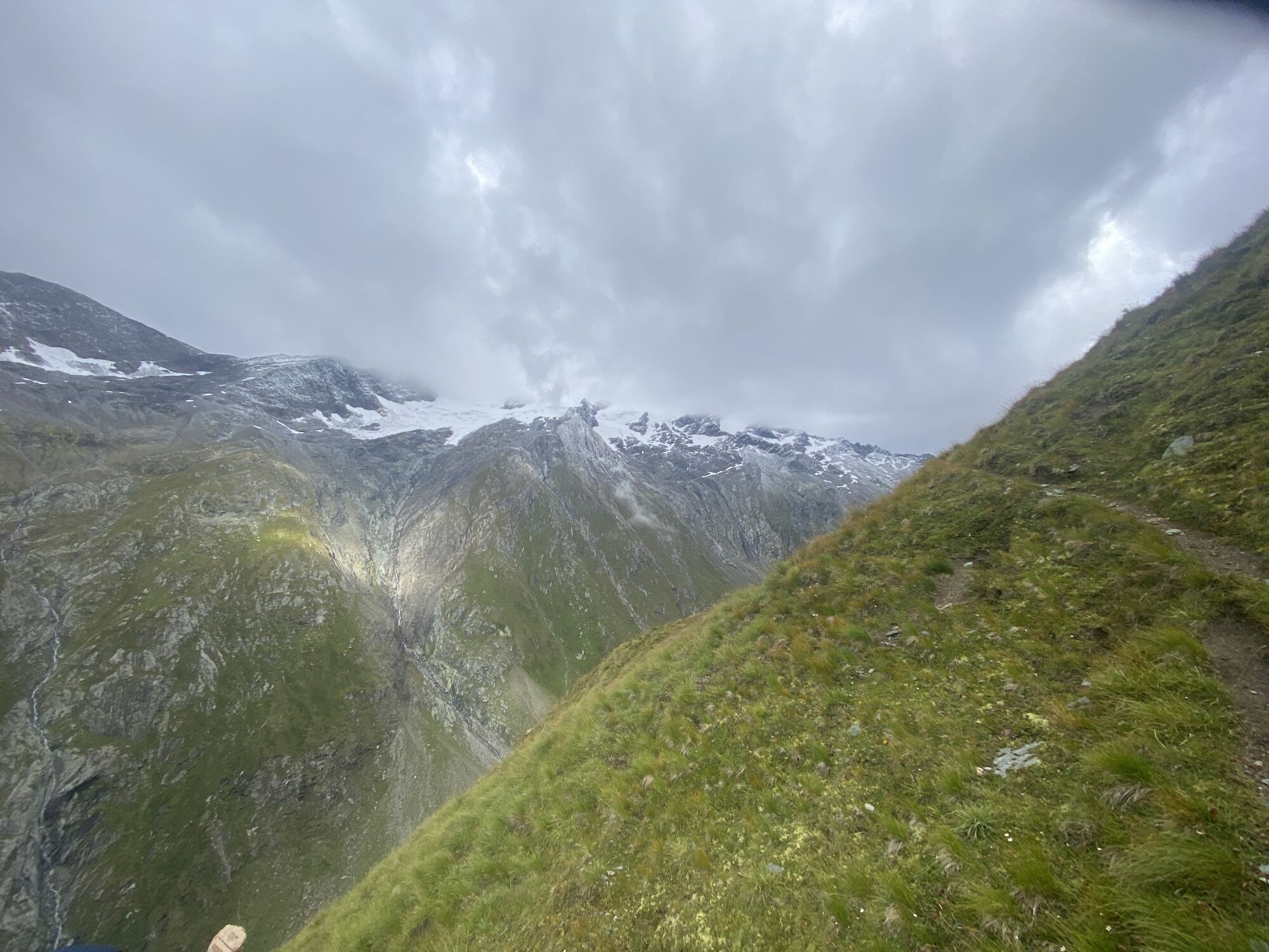
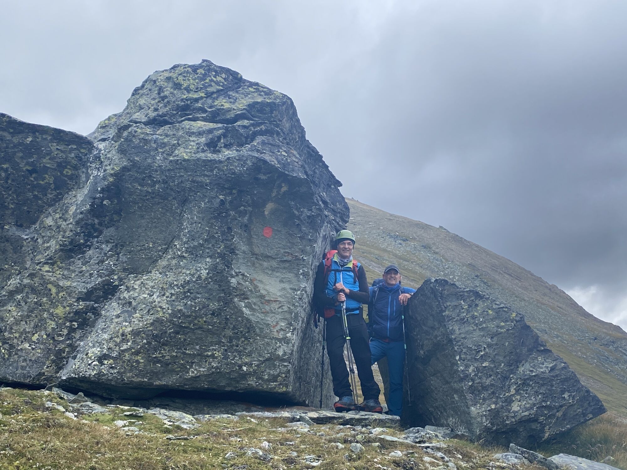
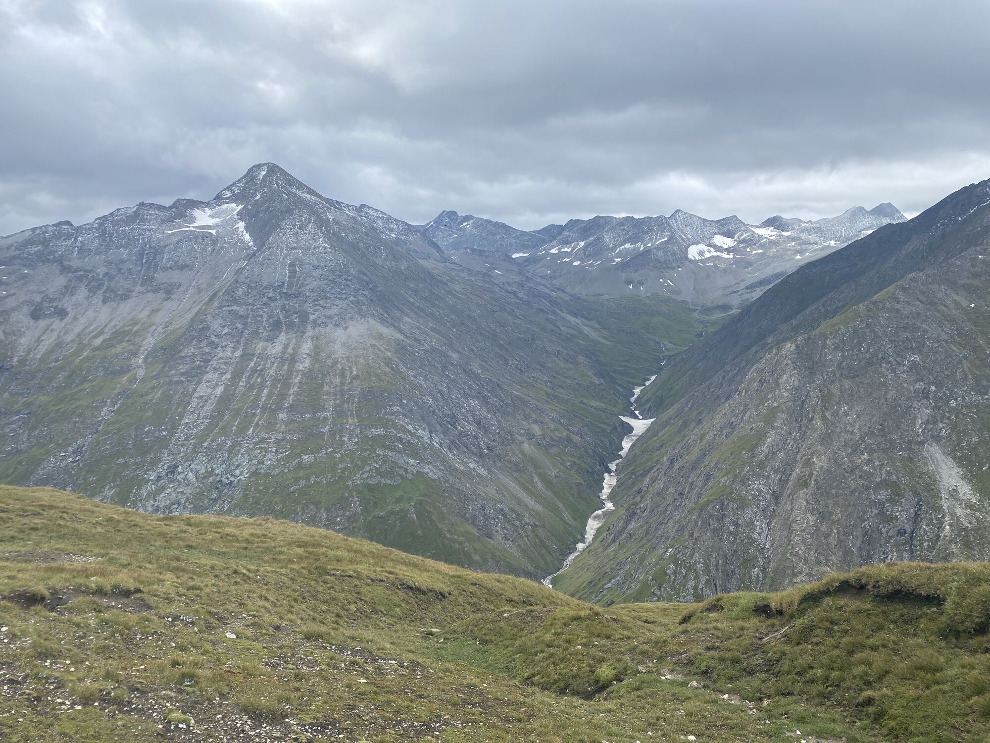
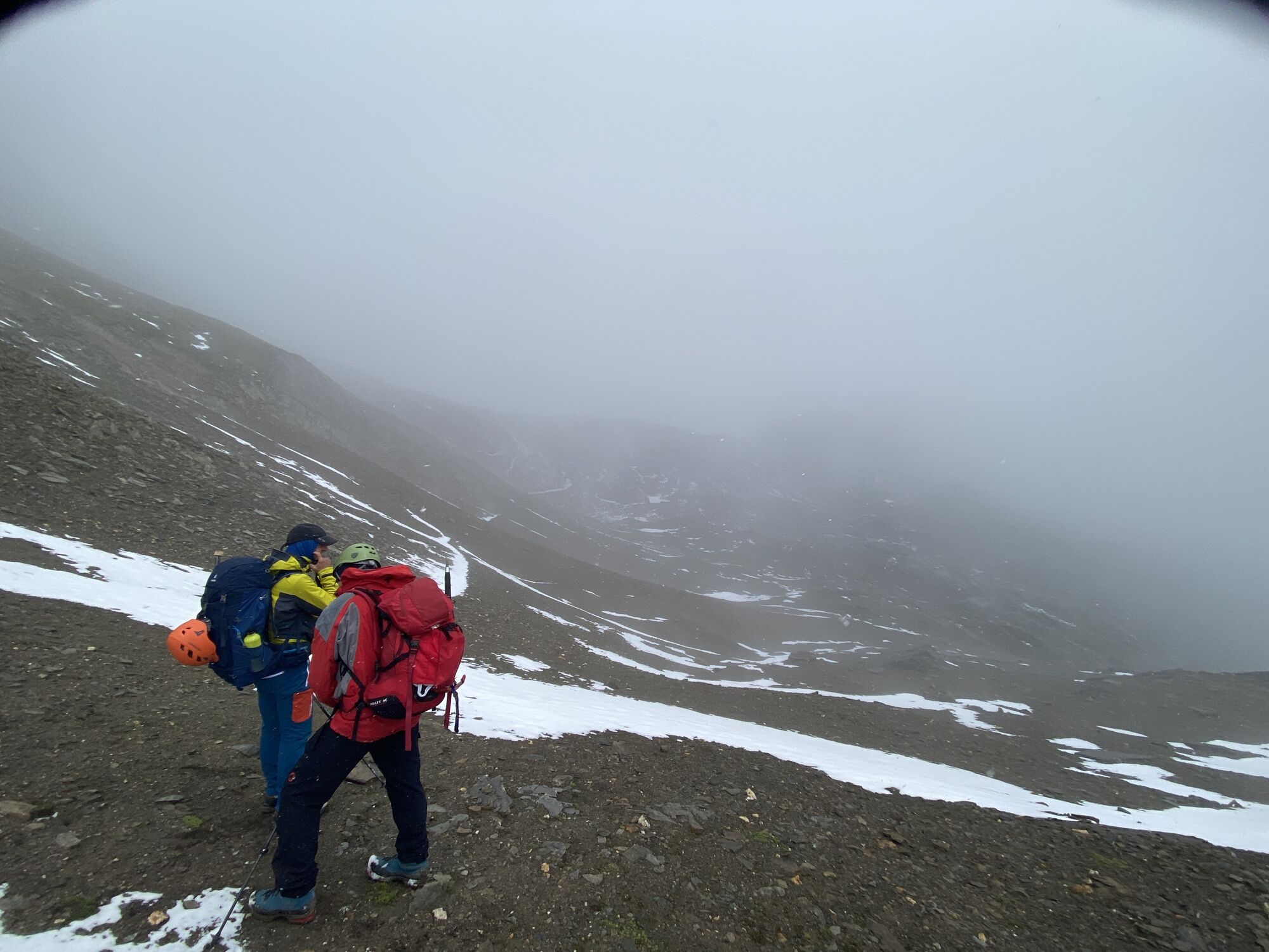
Alpenkönig Route
heavy
Navigate
Navigate
Get this tour on your mobile
Alpenkönig Route
heavy
High tour
10,61
km
Scan the QR code and start navigation in the bergfex app

Hiking & Tracking


Distance
10,61
km
Duration
05:35
h
Ascent
1.130
m
Sea level
2.032 -
2.922
m
Track download
Alpenkönig Route
heavy
High tour
10,61
km


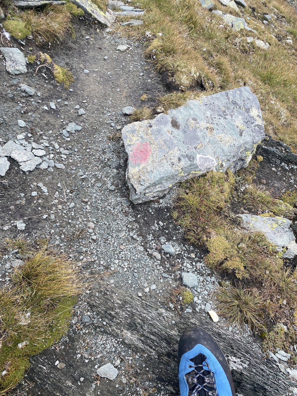
Route
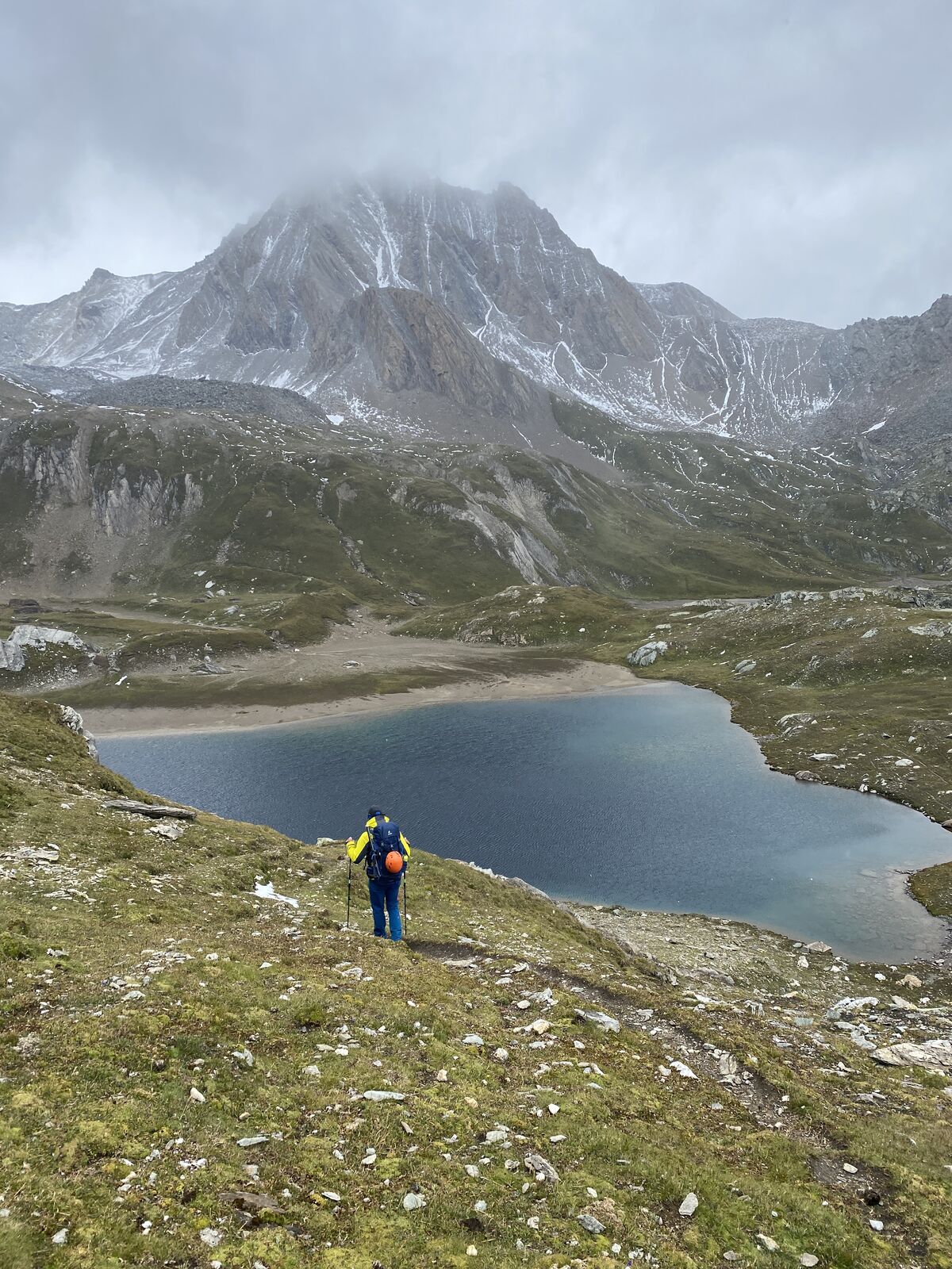
Clarahütte
(2.035 m)
Playground
0,0 km
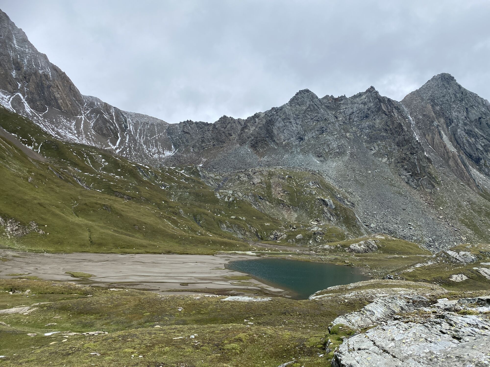
Steingrube
(2.660 m)
Corridor/terrain
1,8 km
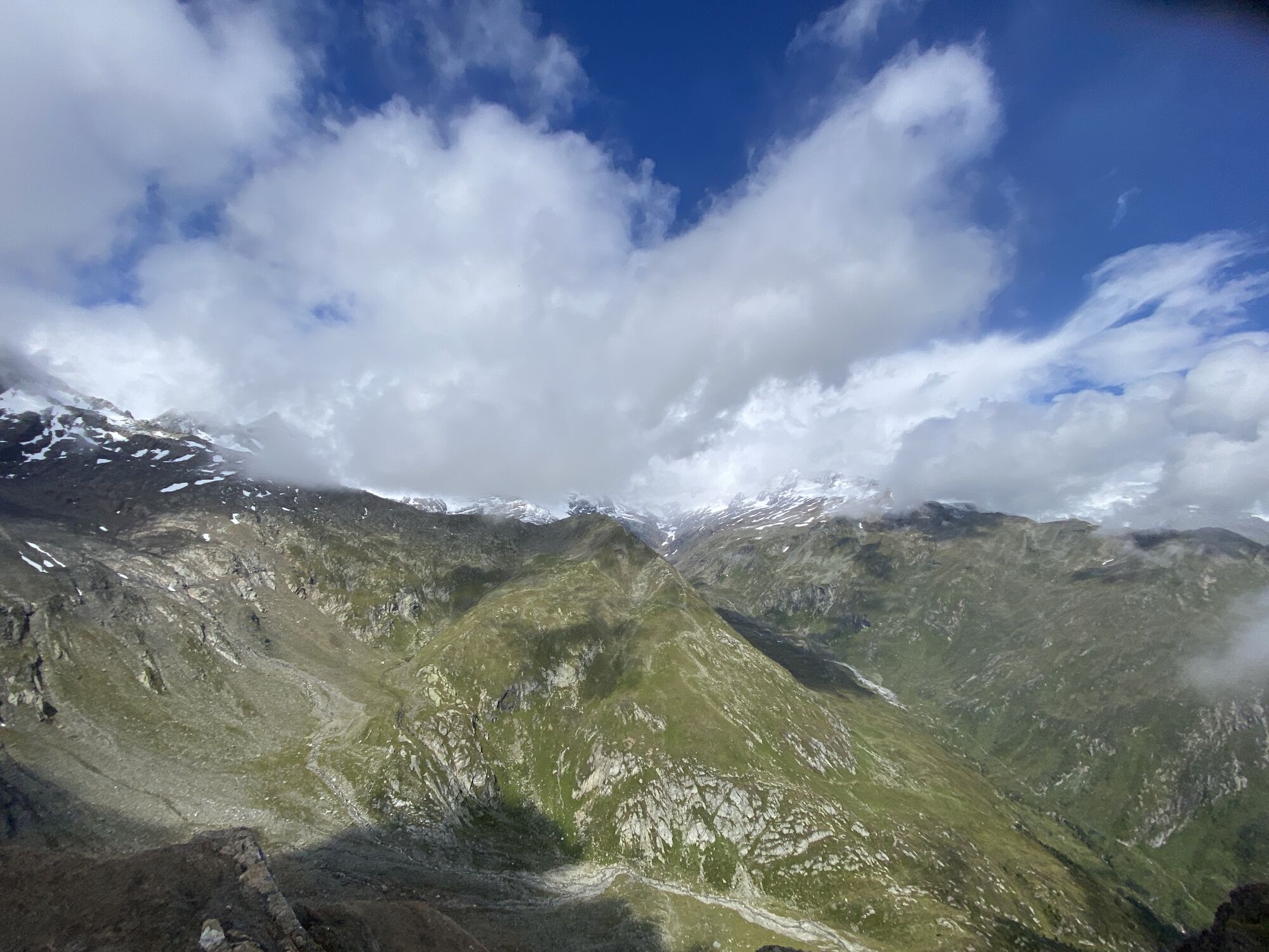
Hohe Gruben
(2.692 m)
Corridor/terrain
3,6 km
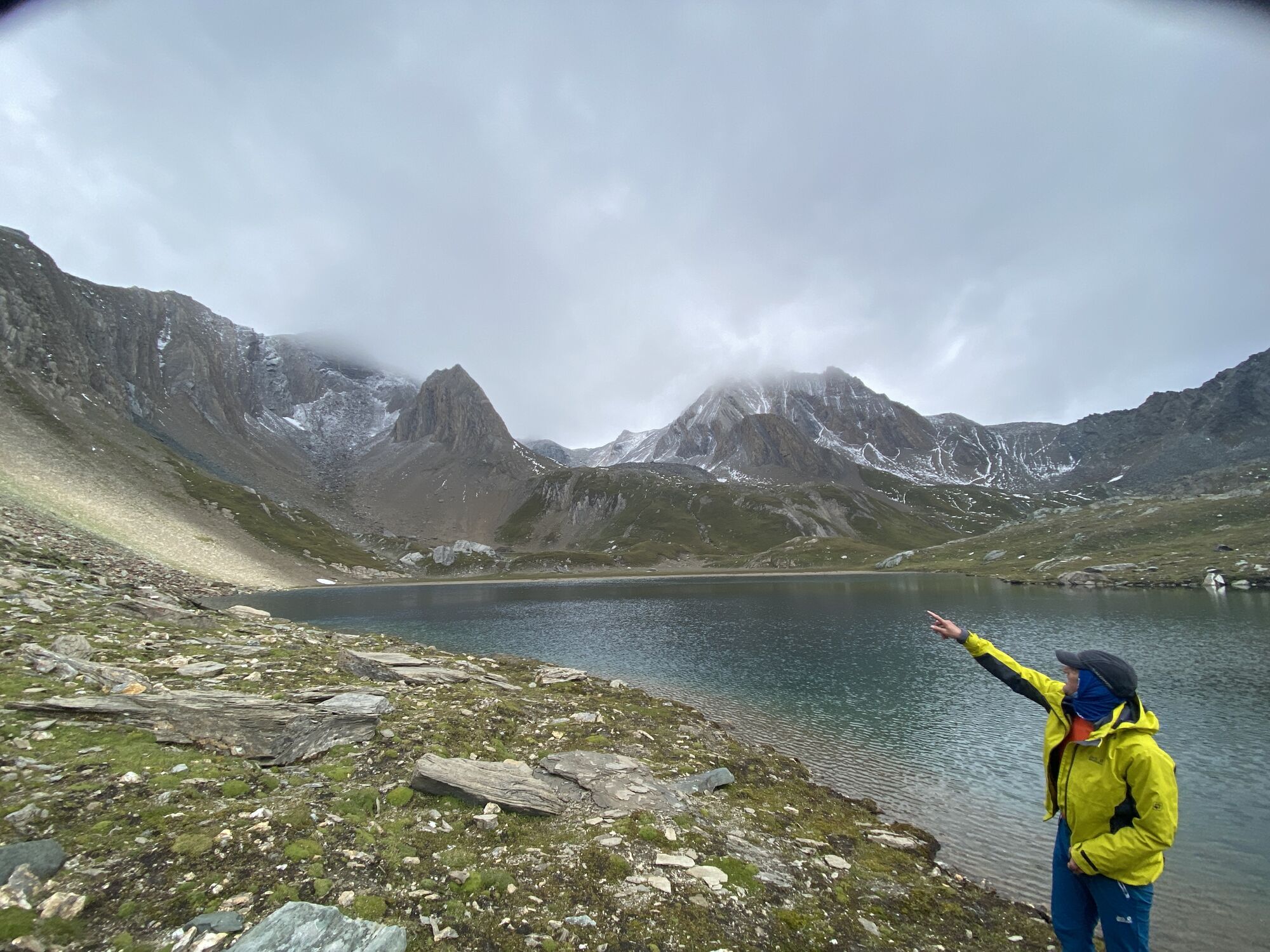
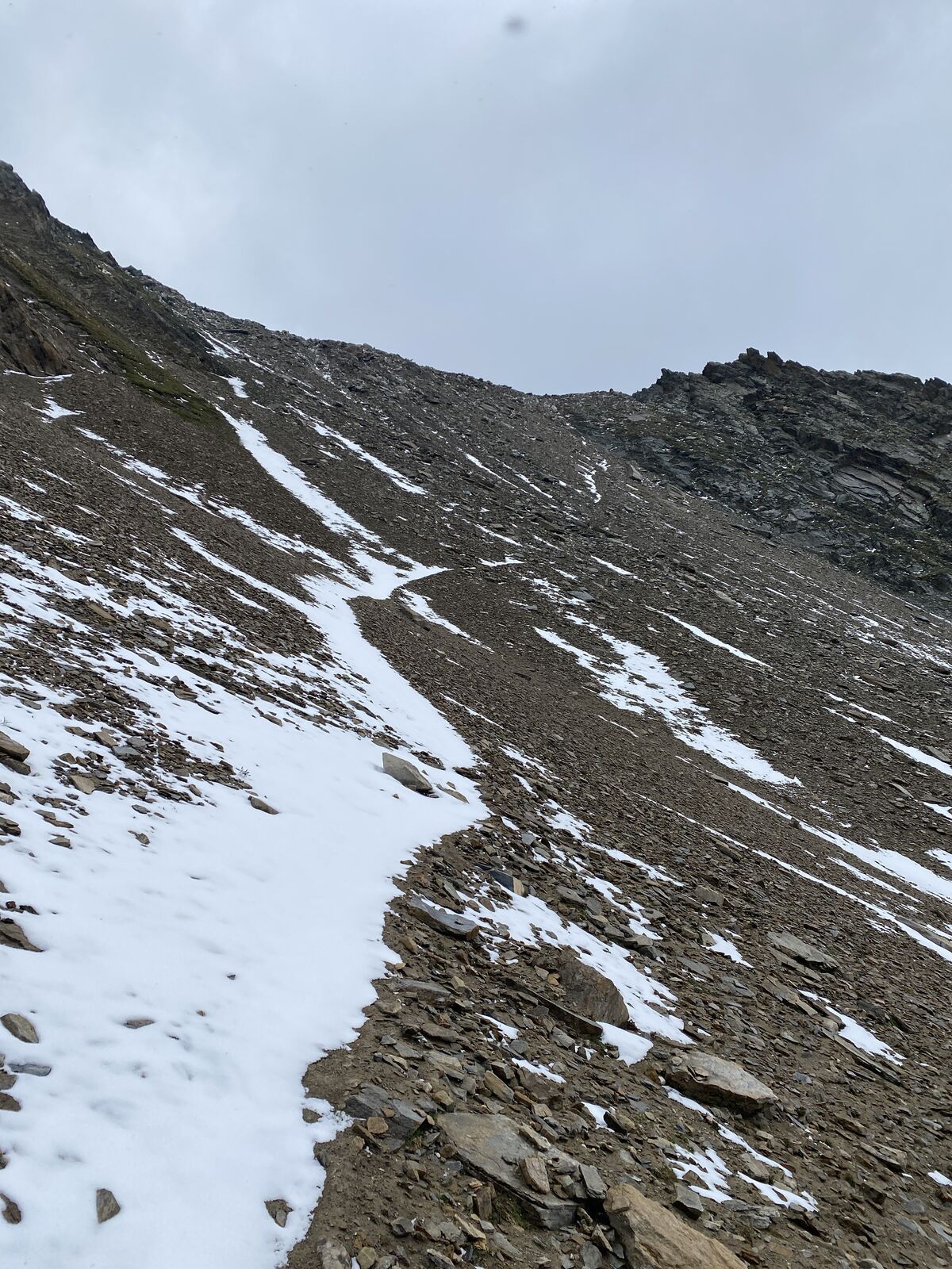
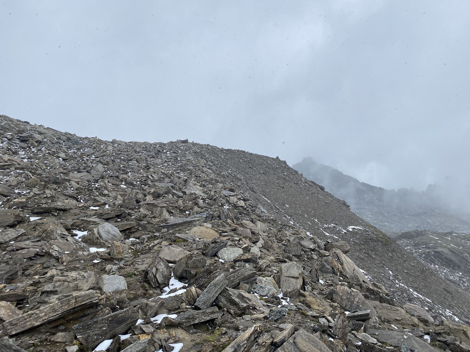
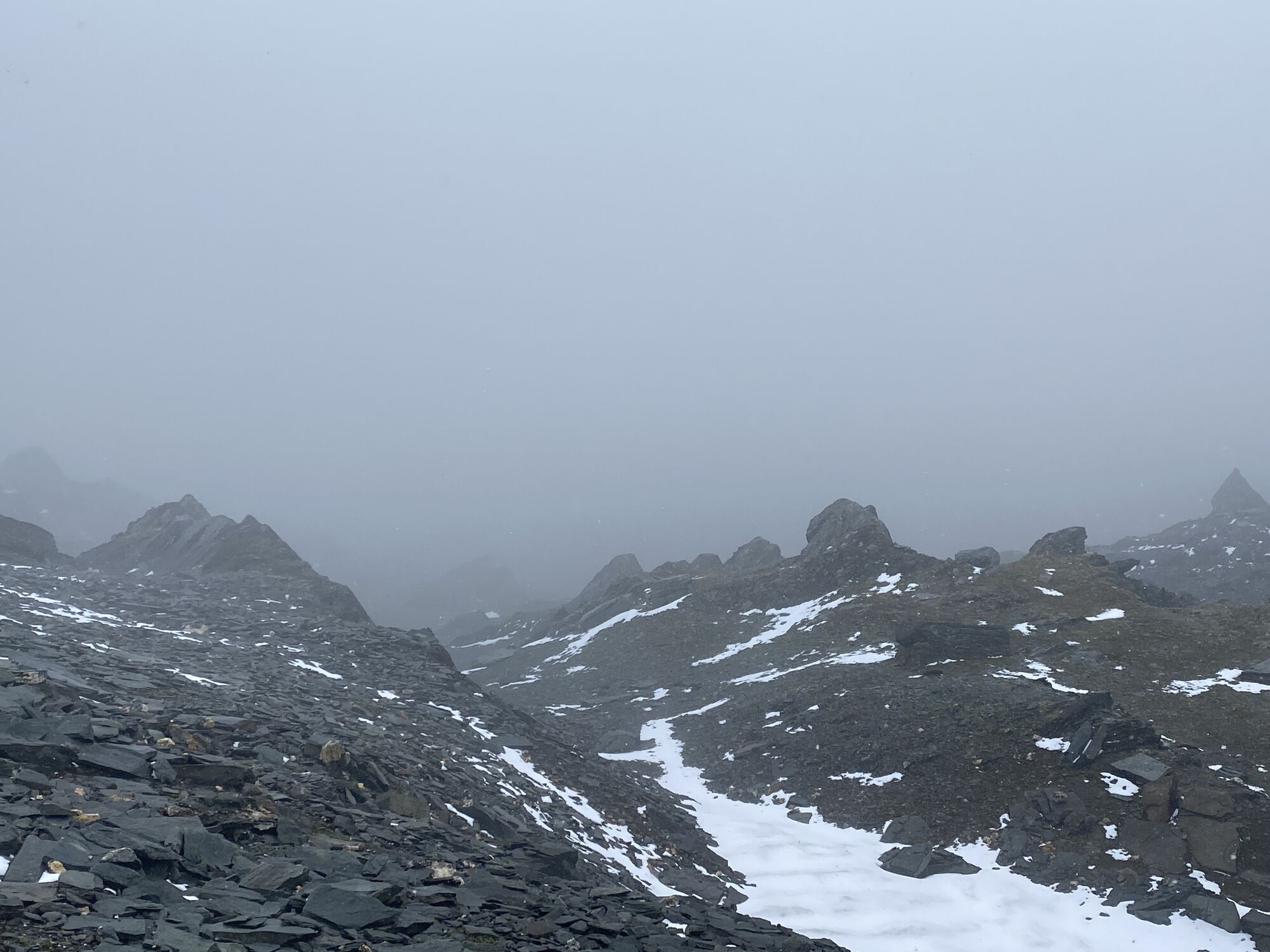
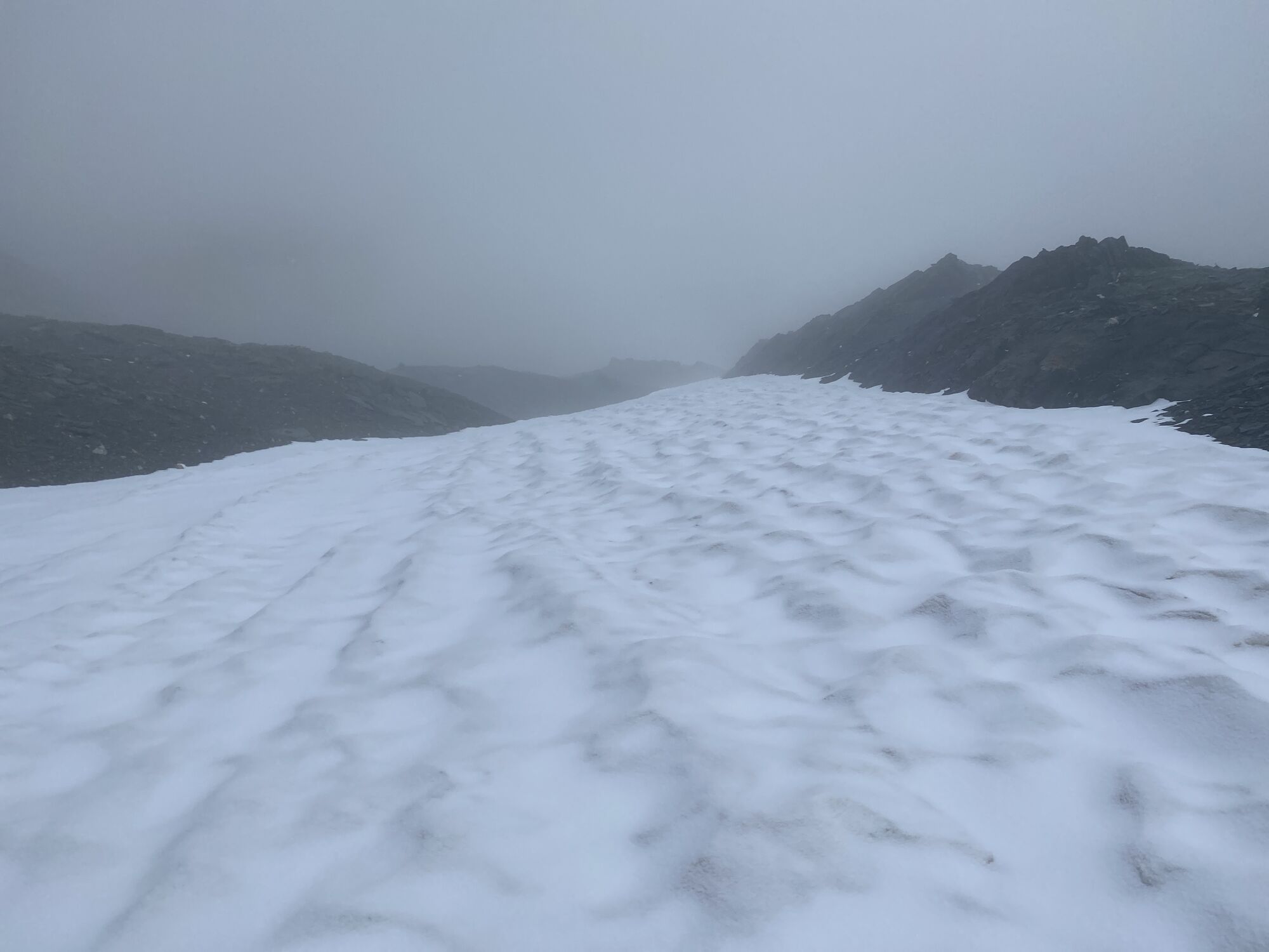
Hohe Grubenscharte
(2.917 m)
Mountain saddle
4,8 km
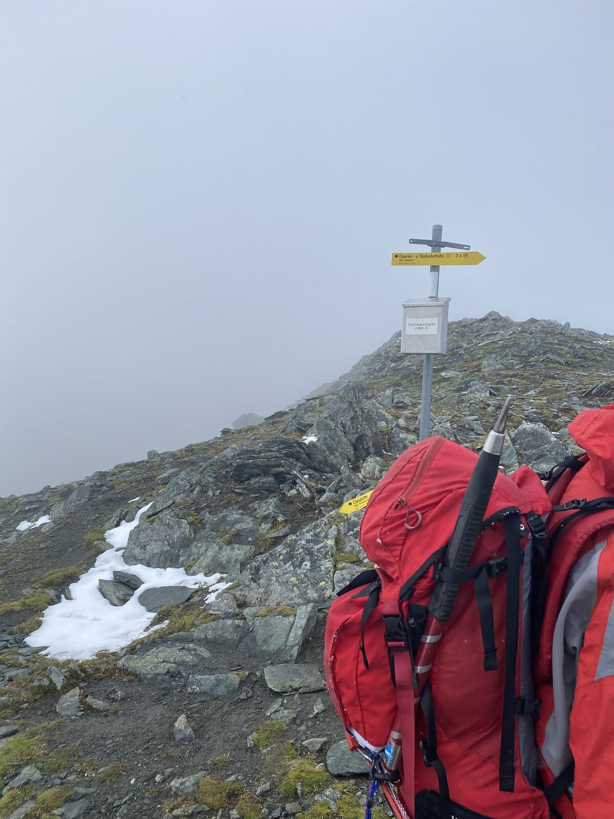
Hochkarscharte
(2.887 m)
Mountain saddle
5,8 km
Essener-Rostocker Hütte
(2.204 m)
Shelter
10,6 km
Route
Alpenkönig Route
heavy
High tour
10,61
km
Clarahütte
(2.035 m)
Playground
0,0 km
Steingrube
(2.660 m)
Corridor/terrain
1,8 km
Hohe Gruben
(2.692 m)
Corridor/terrain
3,6 km
Hohe Grubenscharte
(2.917 m)
Mountain saddle
4,8 km
Hochkarscharte
(2.887 m)
Mountain saddle
5,8 km
Essener-Rostocker Hütte
(2.204 m)
Shelter
10,6 km

Additional information & tips
Tips
Eventuell 2. GPS Gerät als Reserve mitnehmen
No reviews yet
Popular tours in the neighbourhood
- 3,2
Krimmler Tauernhaus - Warnsdorfer Hut - Gamsspitzl
heavyHiking10,5 km - 4,9
Oberhausalm - Jagdhaushütte
lightHiking14,0 km - 5,0
Muhs-Panoramaweg
mediumHiking14,0 km - 3,0
Neukirchen: Großvenediger route
heavyHiking7,40 km - 4,8
Wanderung zu den Umballfällen
lightHiking6,73 km - 4,0
Prägraten - Johannishütte - Defreggerhütte
mediumHiking9,20 km - 5,0
Jagdhausalm und Pfauenauge
lightHiking14 km - 4,2
Seespitze
mediumHiking13,7 km - 5,0
MTB Krimml - Kr. Achental - Krimmler Tauernhaus - Außerkeesalm
lightMountainbike45 km - 4,3
Krimmler Tauern (crossing)
heavyHiking18,4 km
Hiking & Tracking

Over 550.000 tour suggestions, detailed maps and an intuitive route planner make the app a must-have for all nature enthusiasts.

Don't miss out on offers and inspiration for your next holiday
Subscribe to the newsletter
Error
An error has occurred. Please try again.Thank you for your registration
Your e-mail address has been added to the mailing list.
Tours throughout Europe
Austria Switzerland Germany Italy Slovenia France Netherlands Belgium Poland Liechtenstein Czechia Slovakia Spain Croatia Bosnia and Herzegovina Luxembourg Andorra Portugal Iceland United Kingdom Ireland Greece Albania North Macedonia Malta Norway Montenegro Moldova Kosovo Hungary San Marino Romania Estonia Latvia Belarus Cyprus Lithuania Serbia Bulgaria Monaco Denmark Sweden Finland