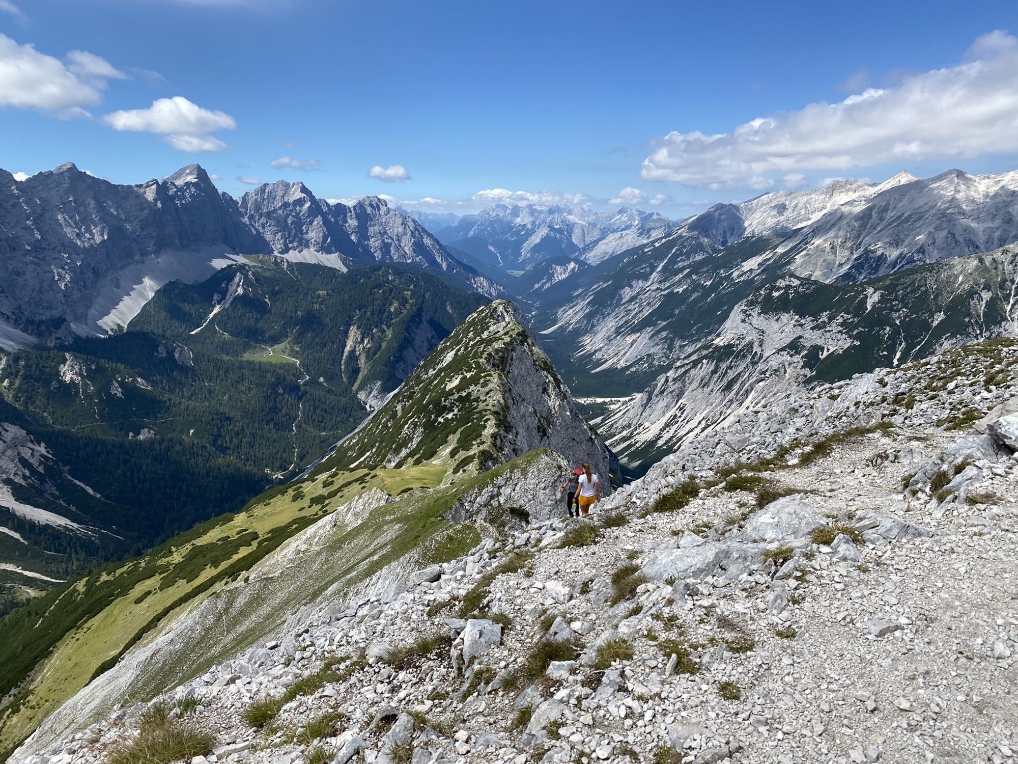
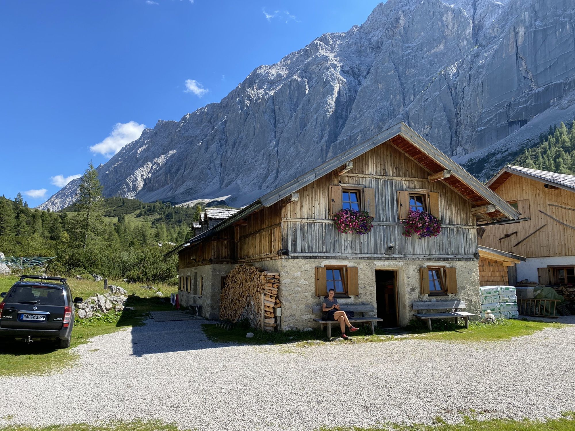
E-Bike & Hike Hallerangeralm / Sunntigerspitze
heavy
Navigate
Navigate
Get this tour on your mobile
E-Bike & Hike Hallerangeralm / Sunntigerspitze
heavy
E-Bike
43,93
km
Scan the QR code and start navigation in the bergfex app

Hiking & Tracking


Distance
43,93
km
Duration
05:00
h
Ascent
1.497
m
Sea level
965 -
2.312
m
Track download
E-Bike & Hike Hallerangeralm / Sunntigerspitze
heavy
E-Bike
43,93
km


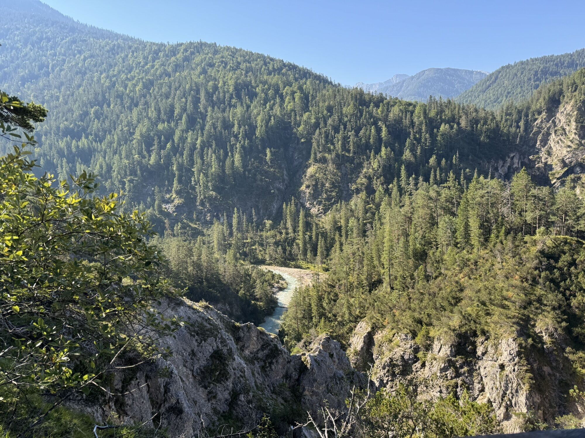
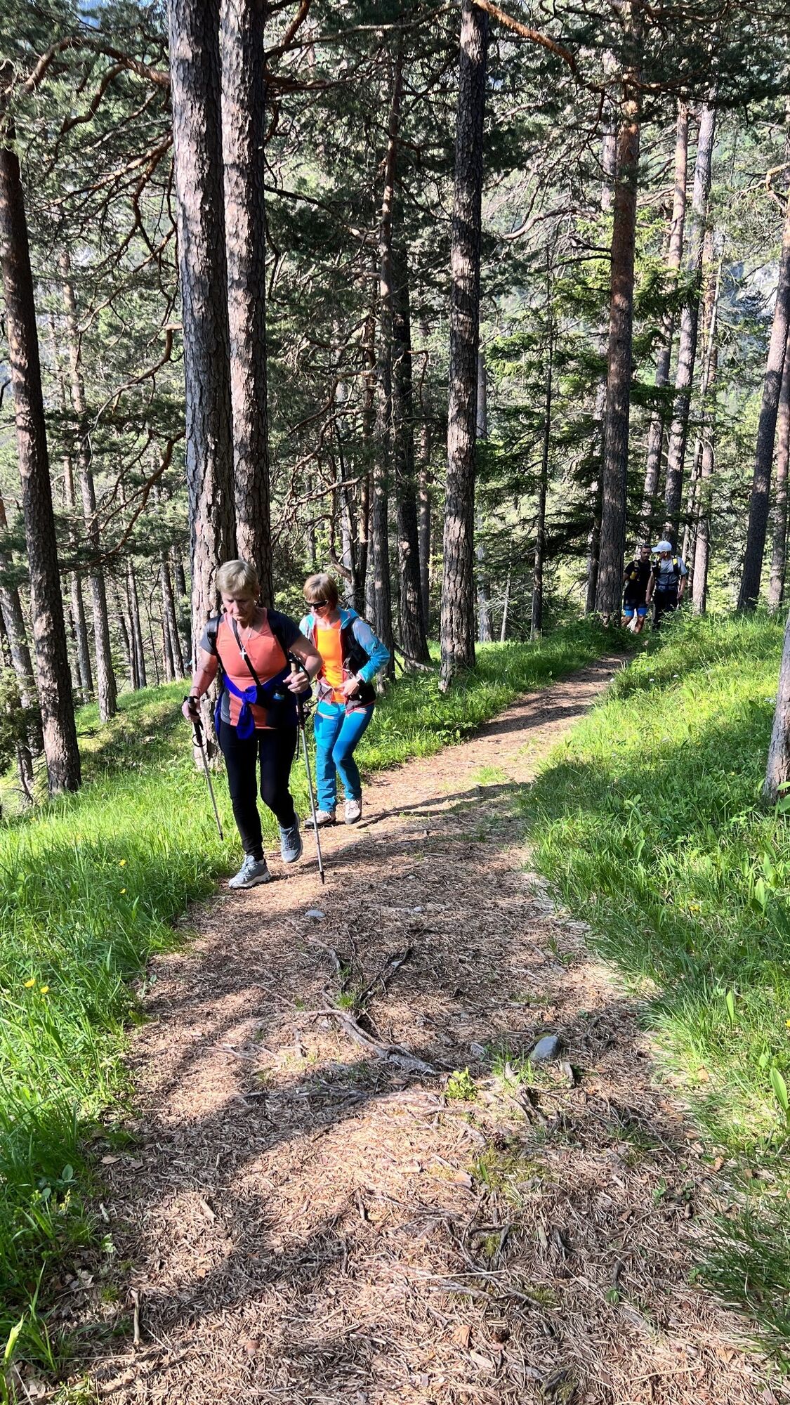
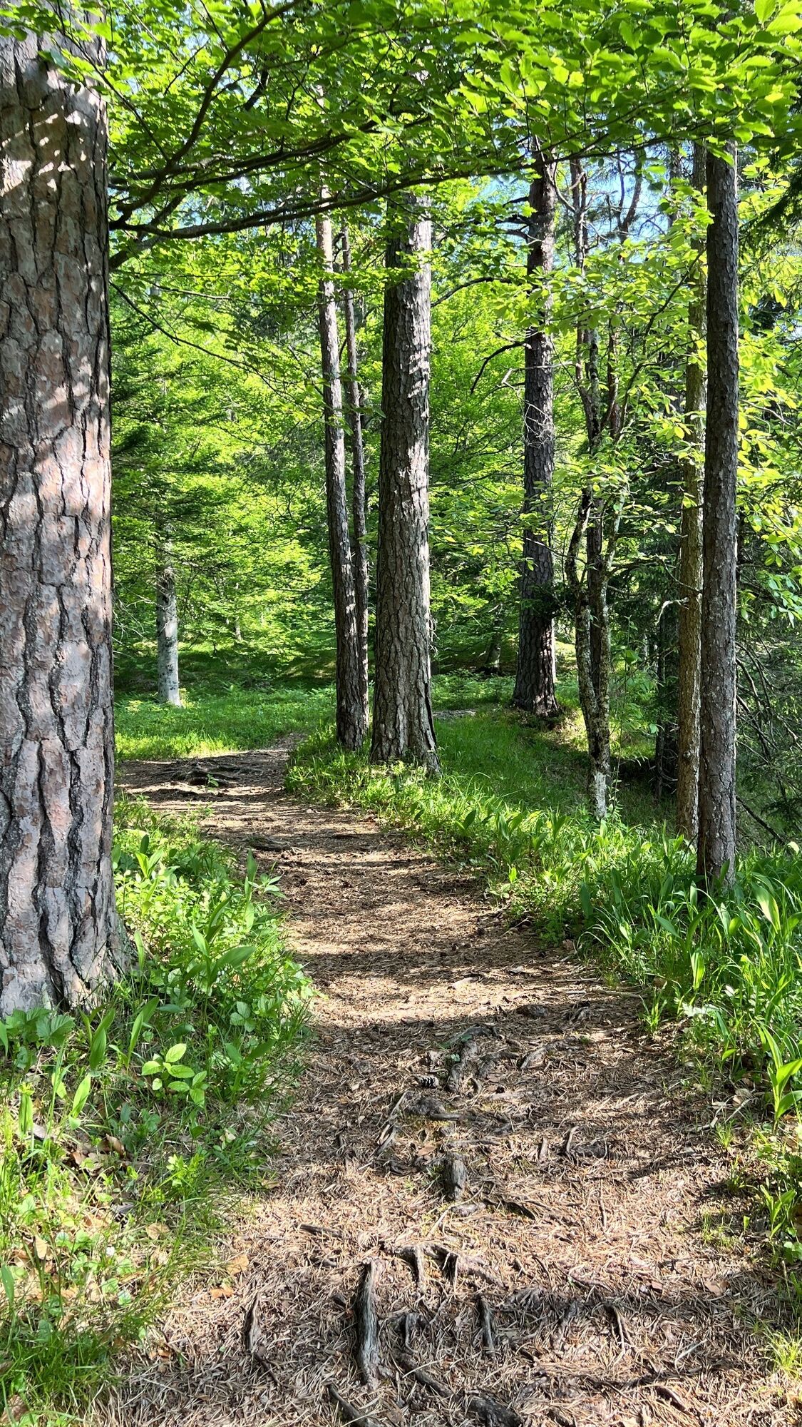
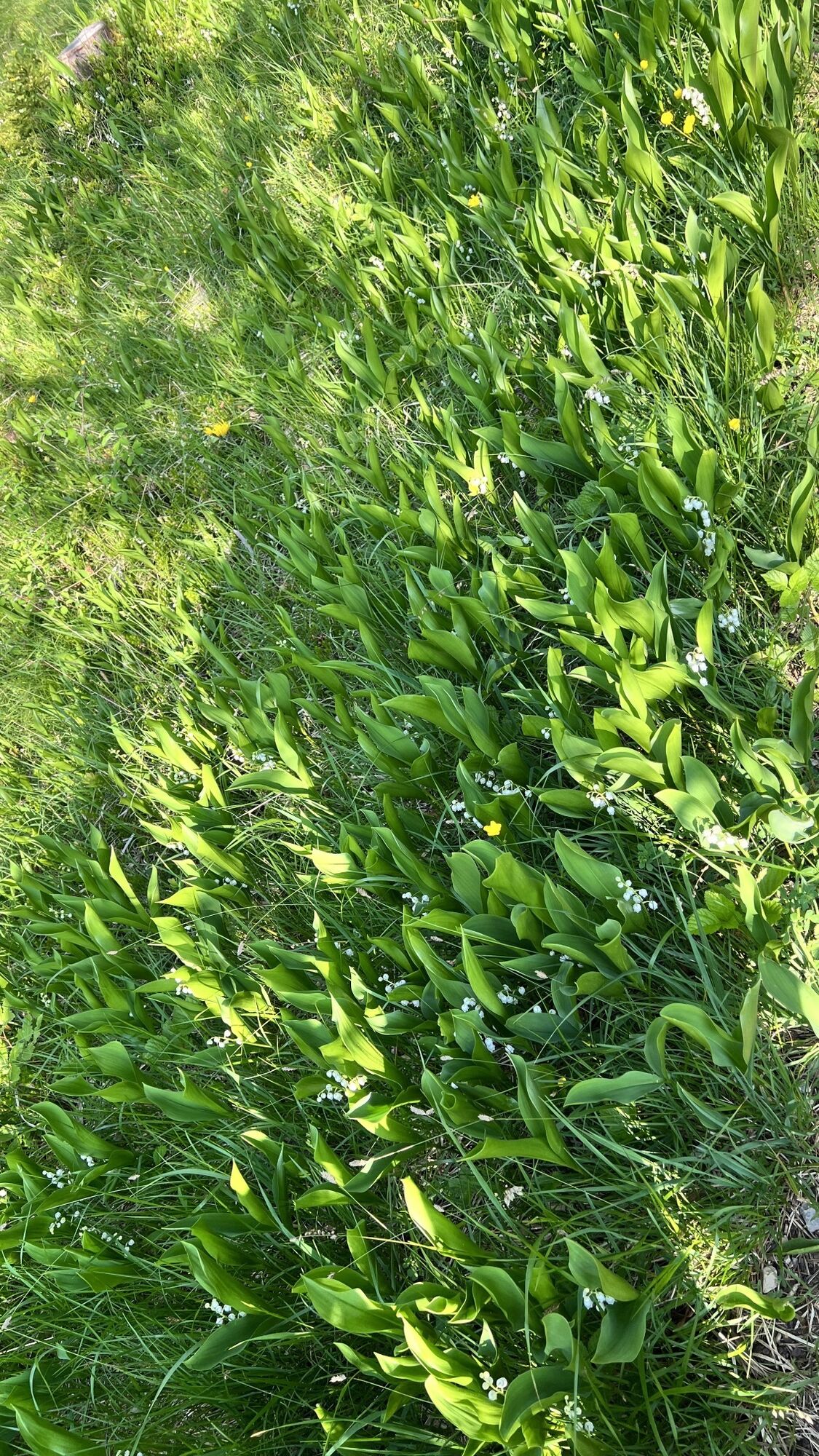
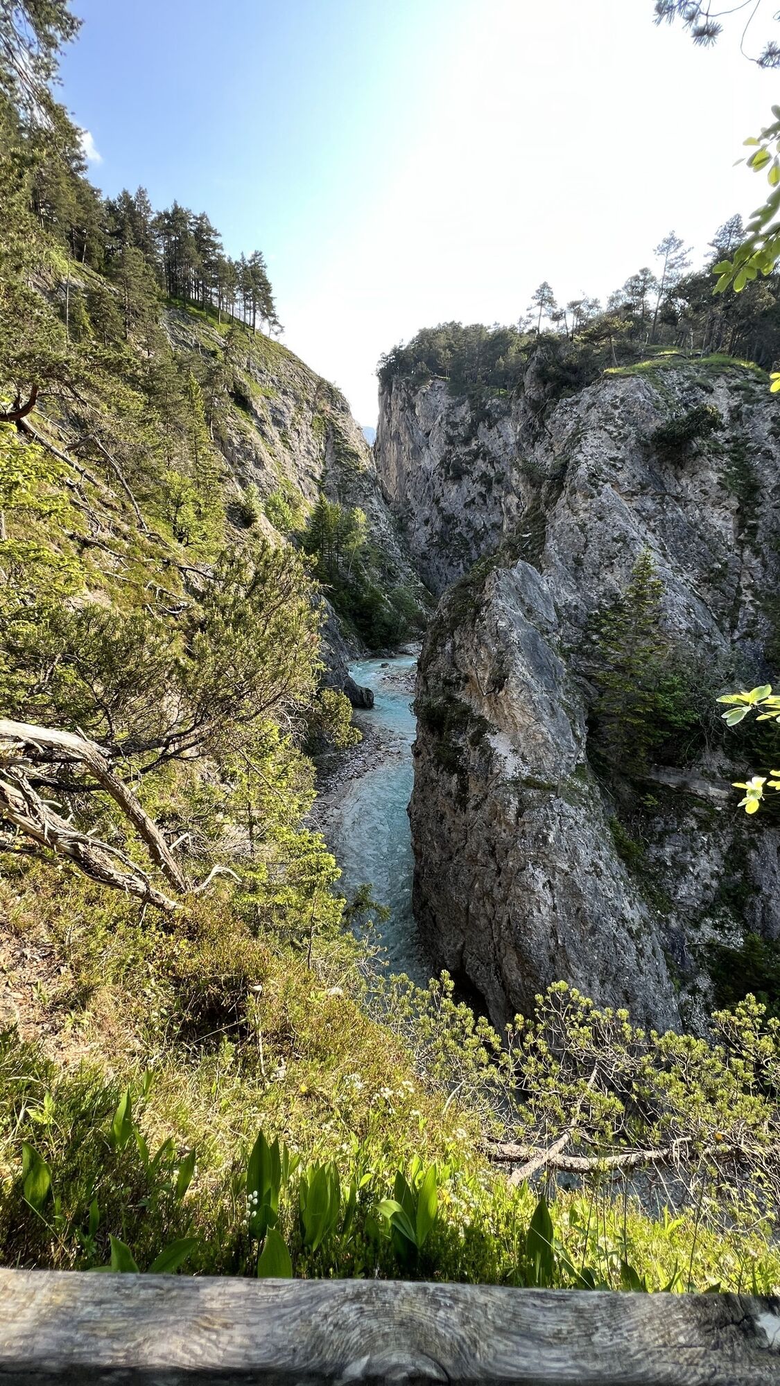
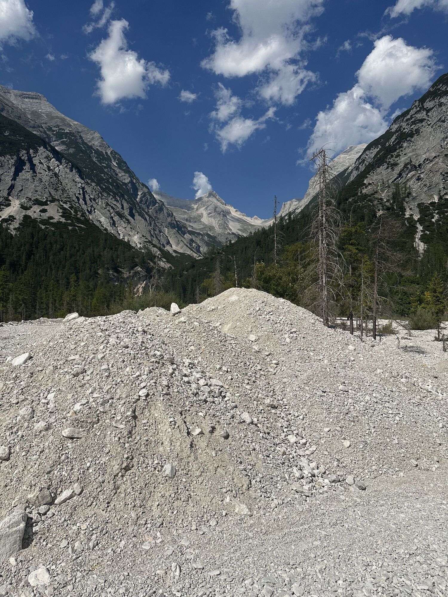
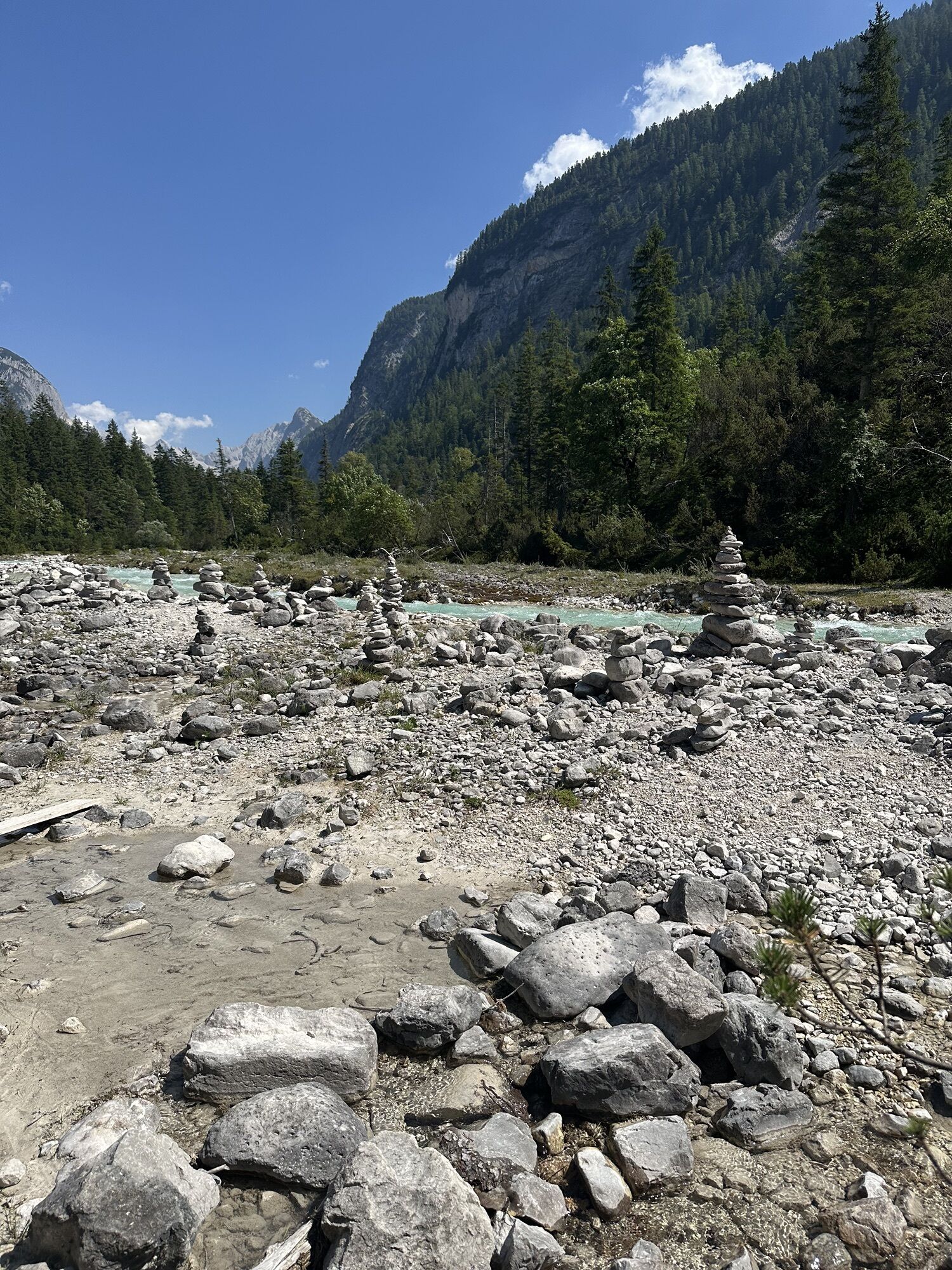
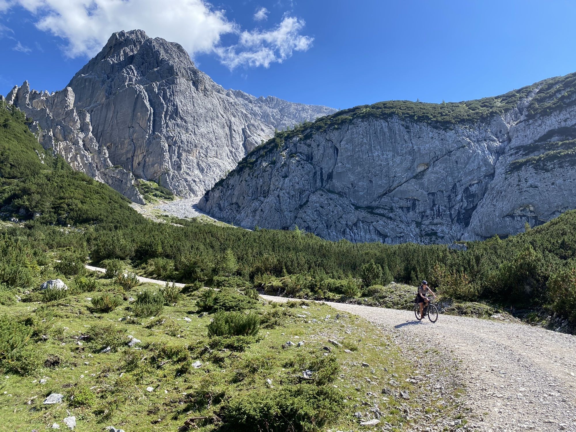
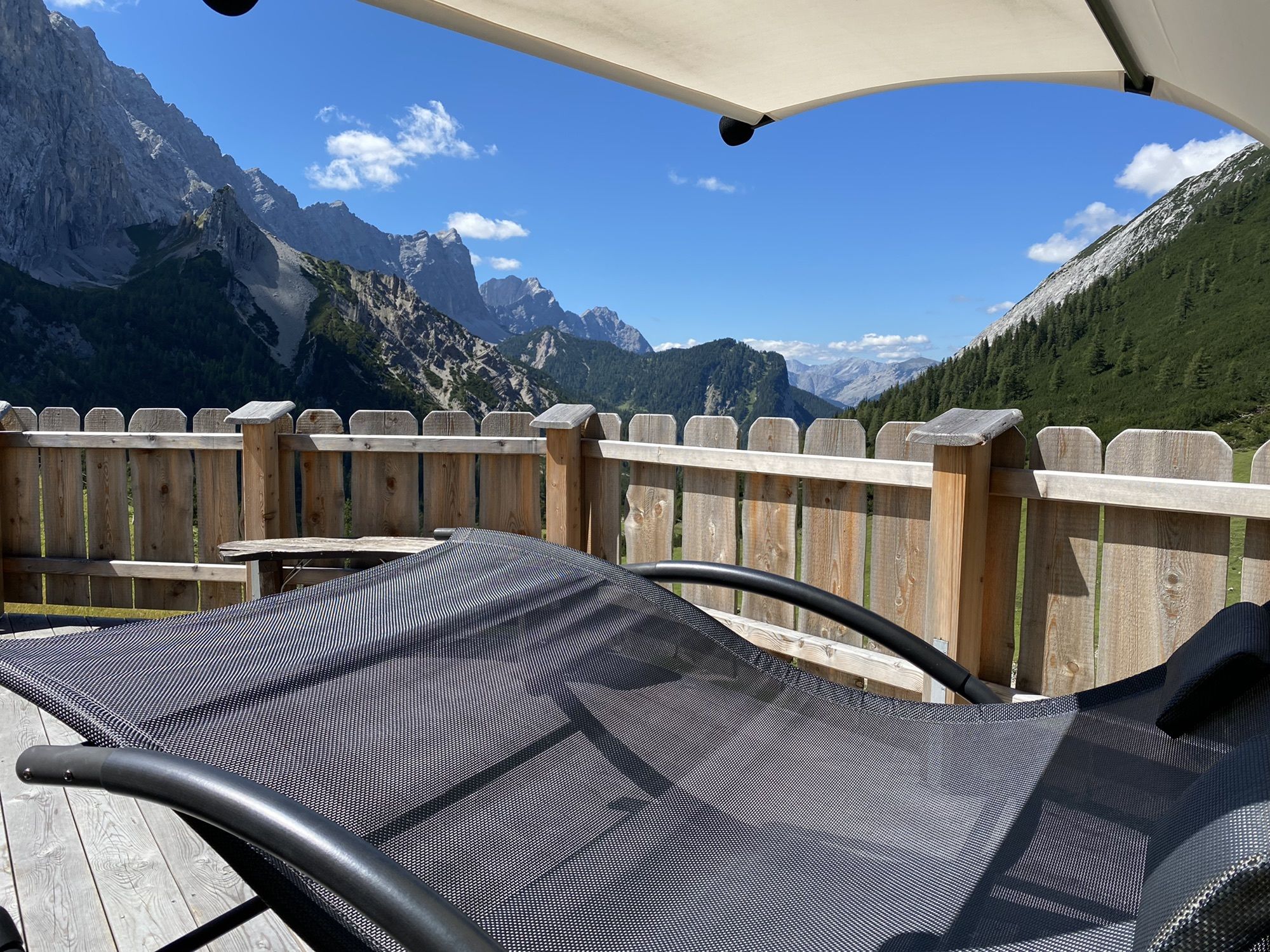
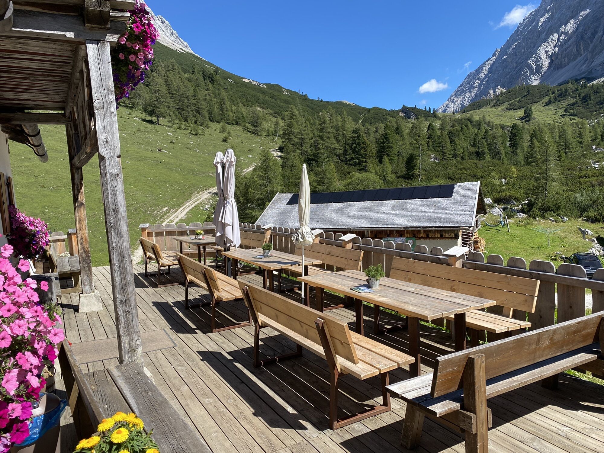
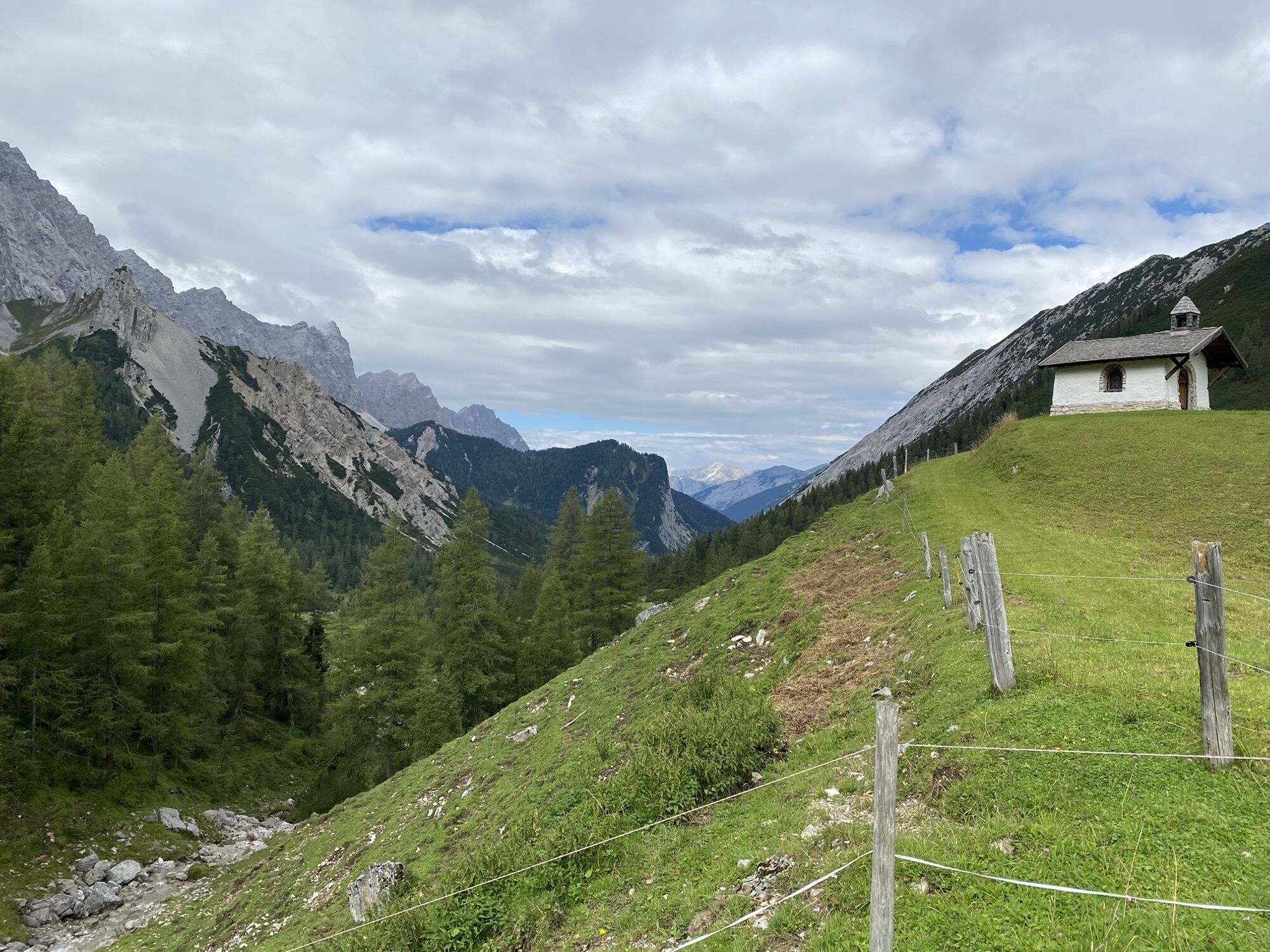
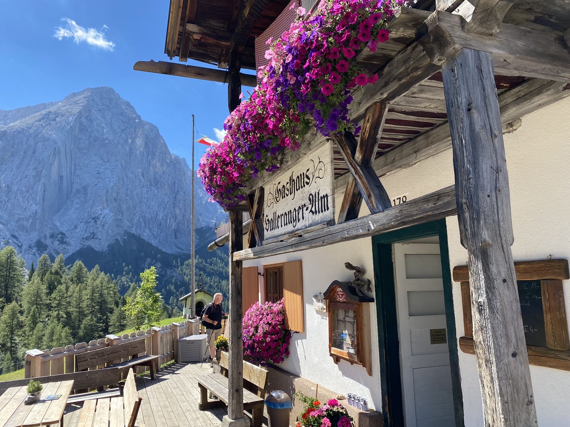
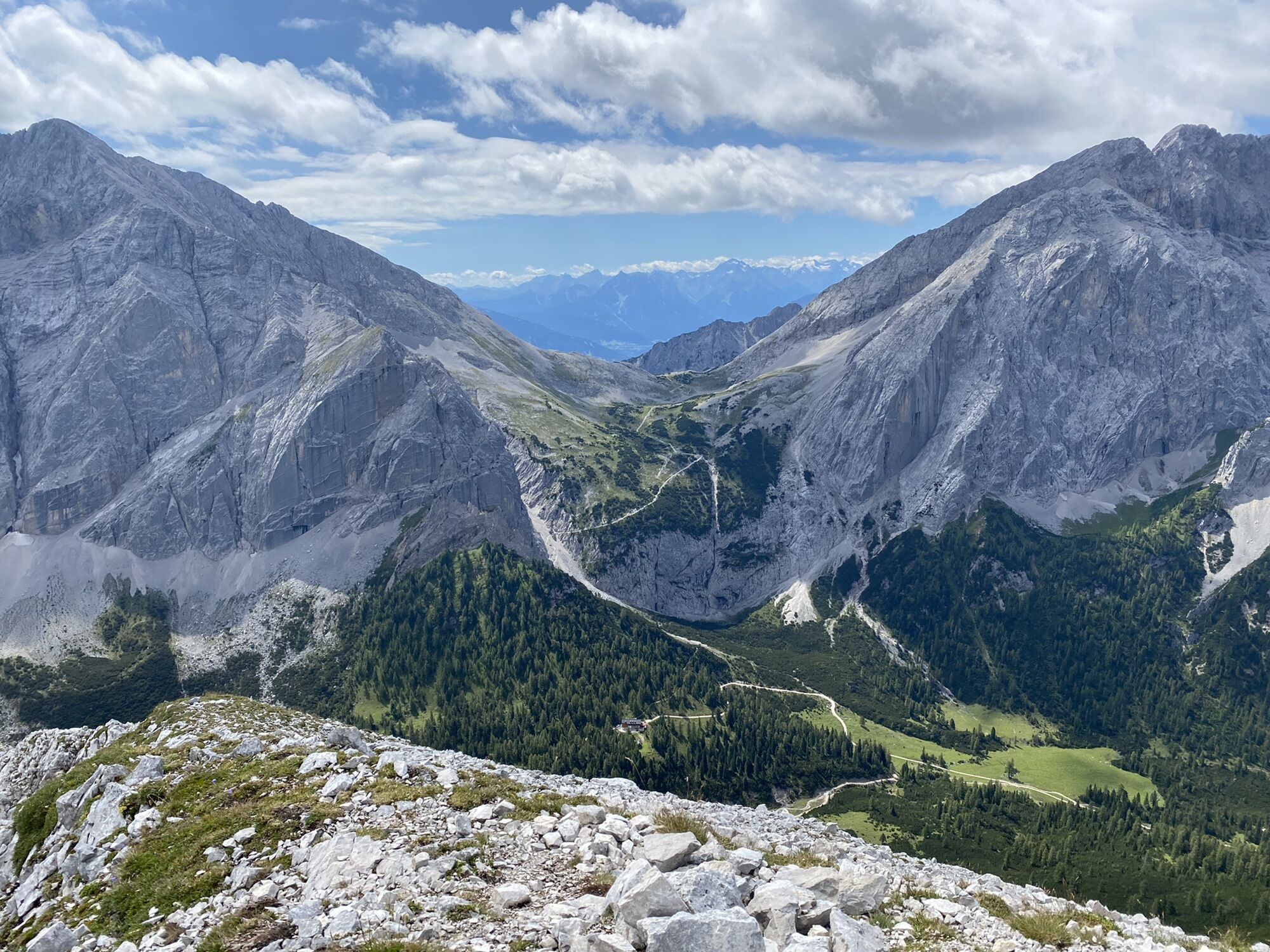
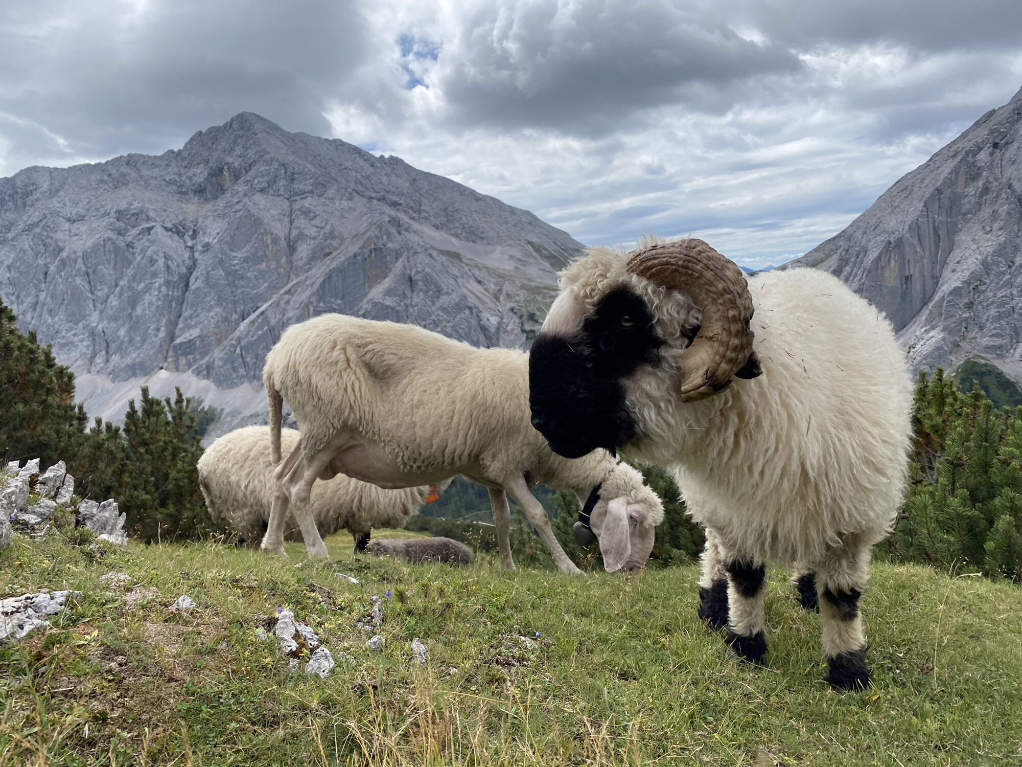
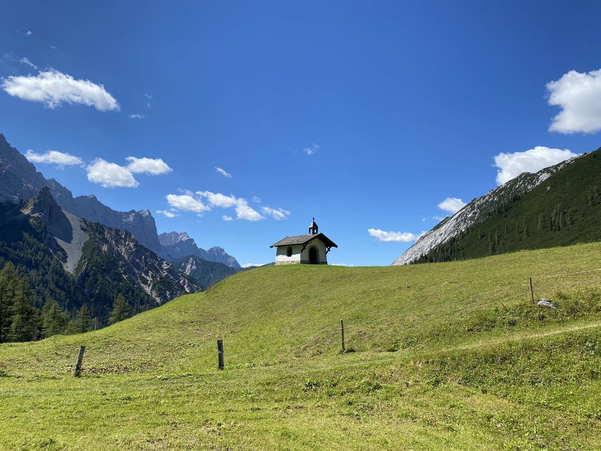
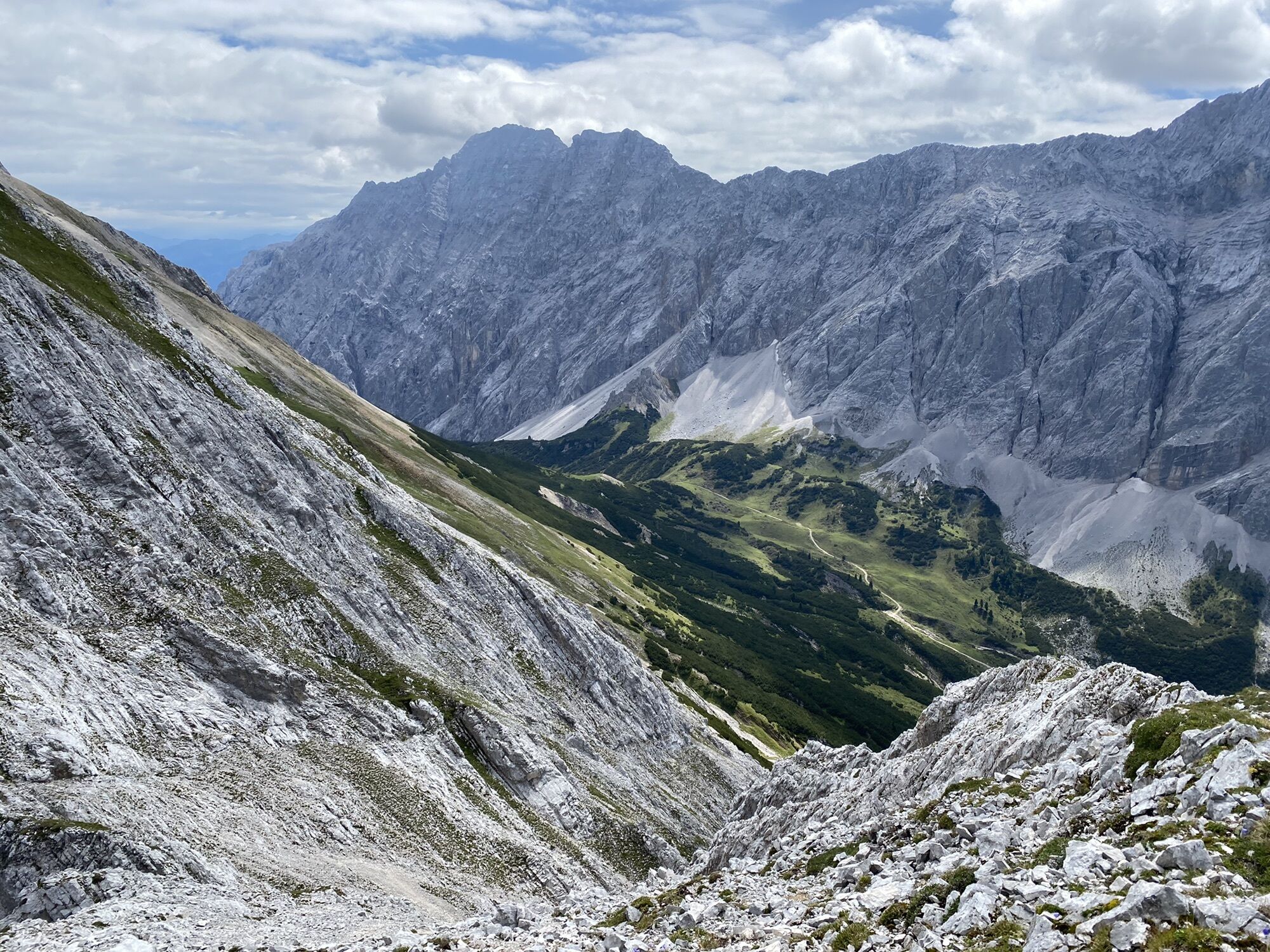
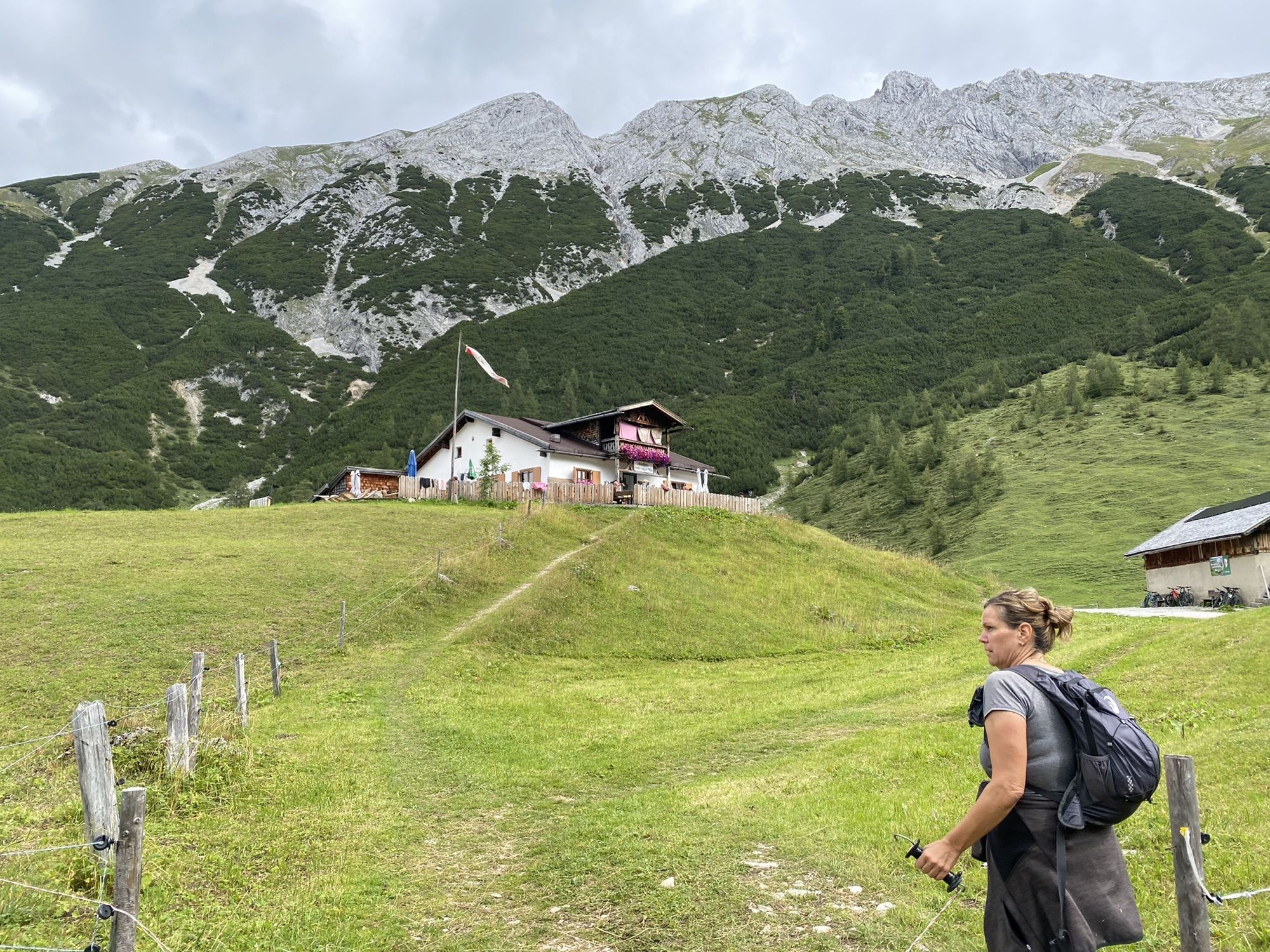
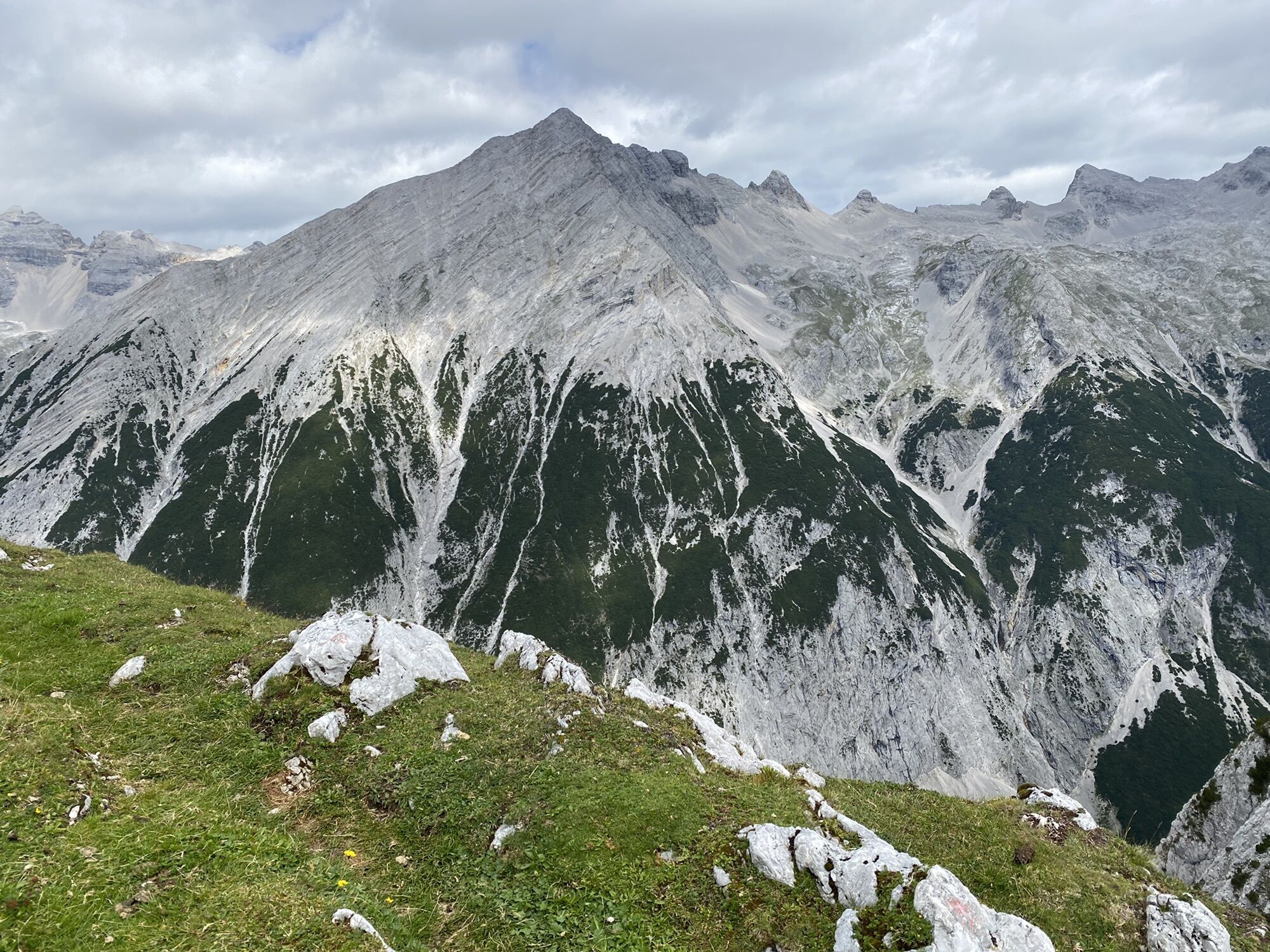
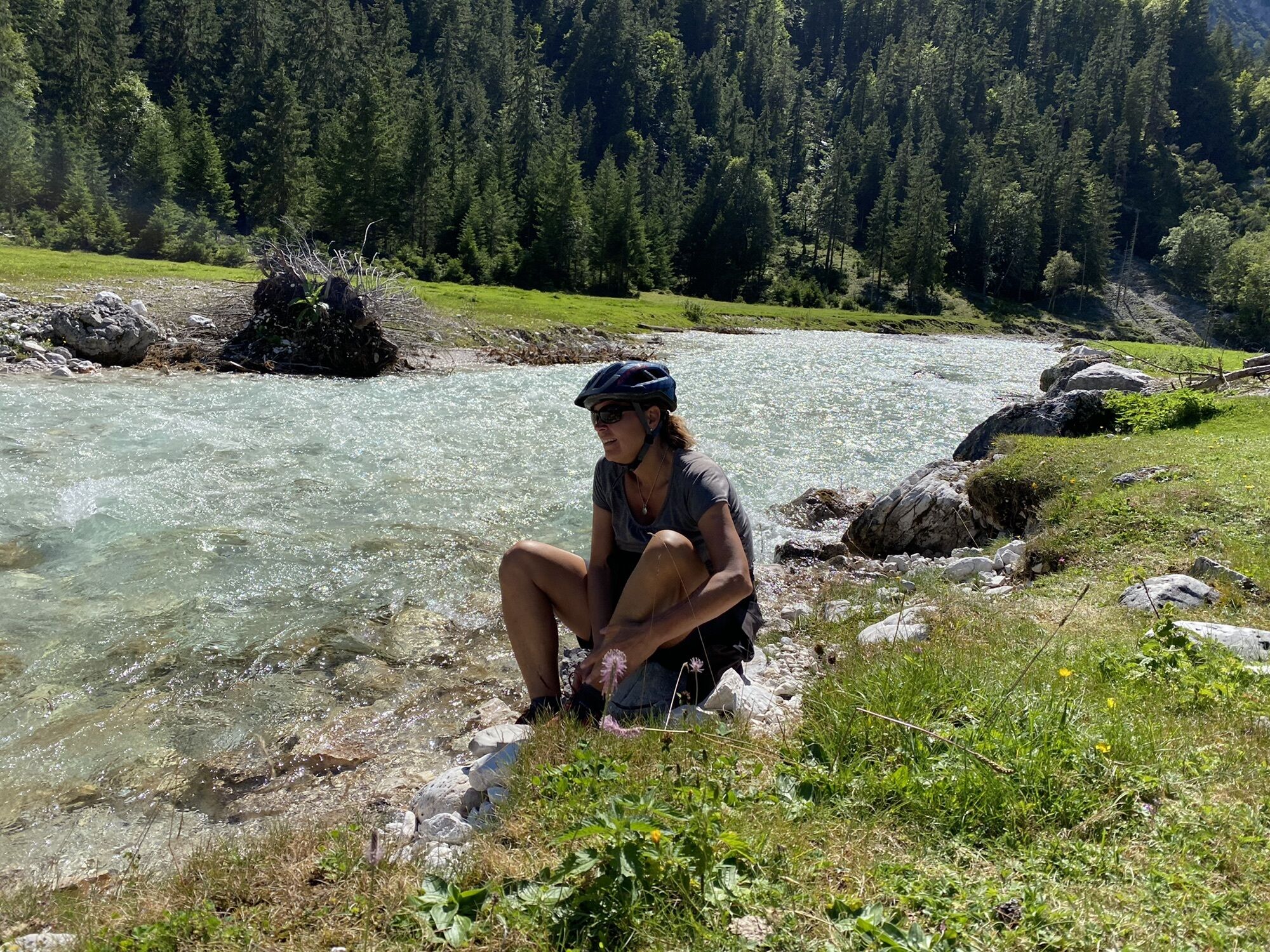
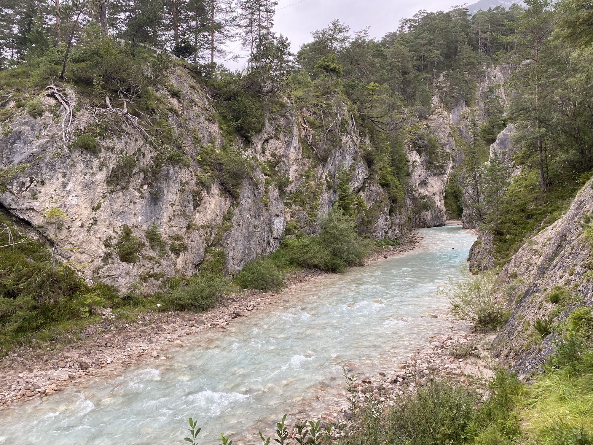
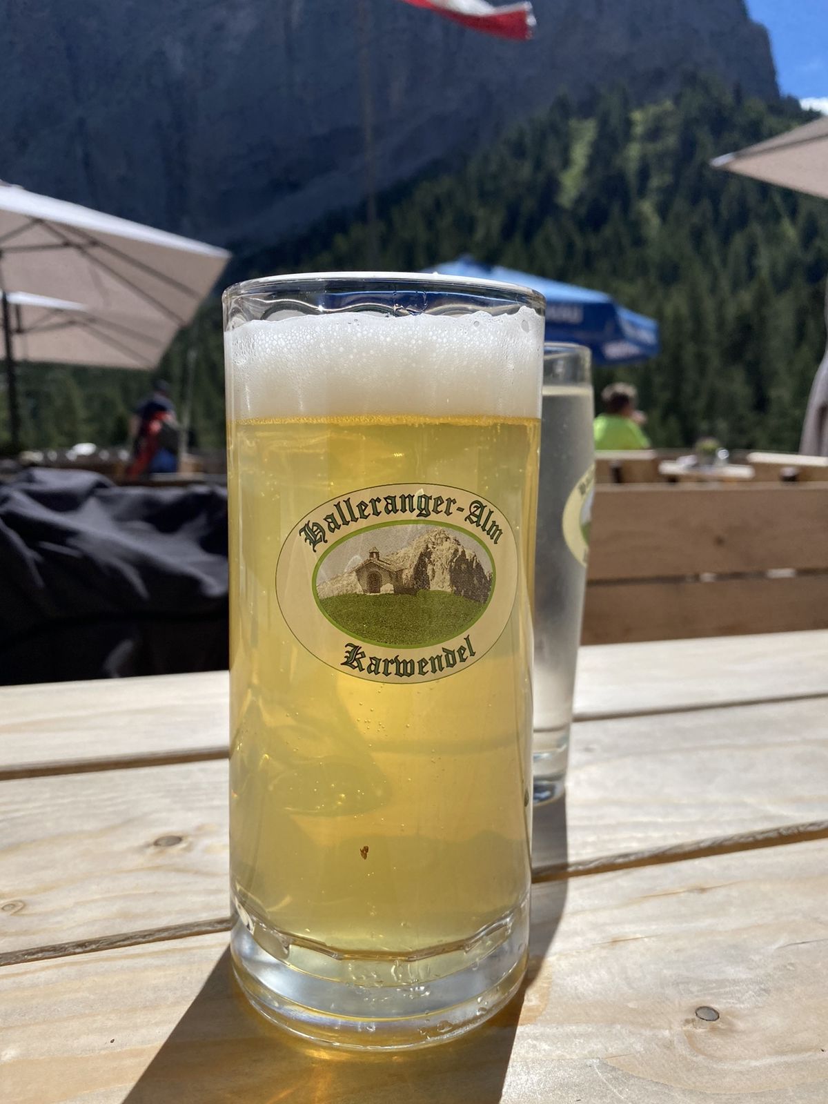
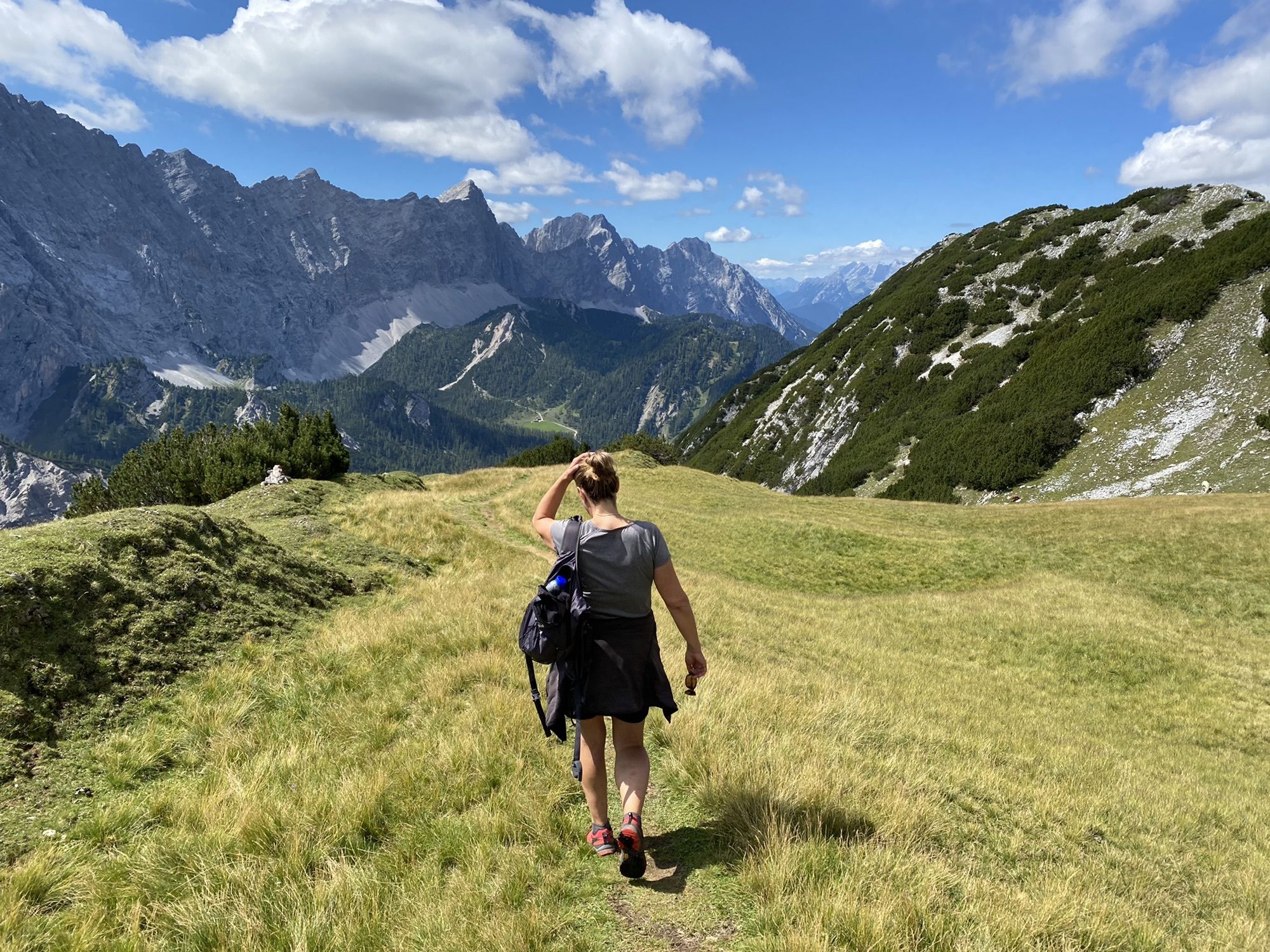
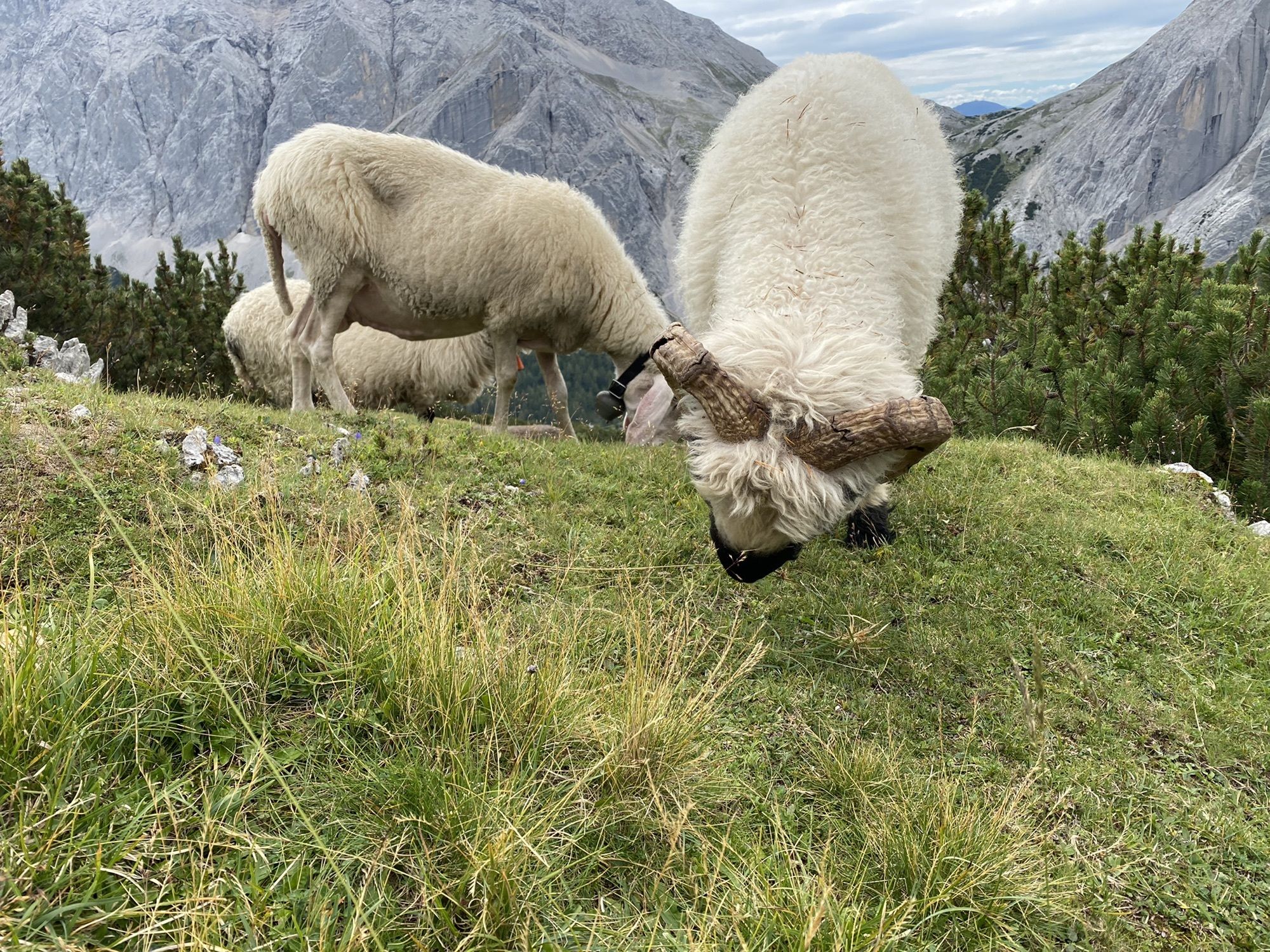
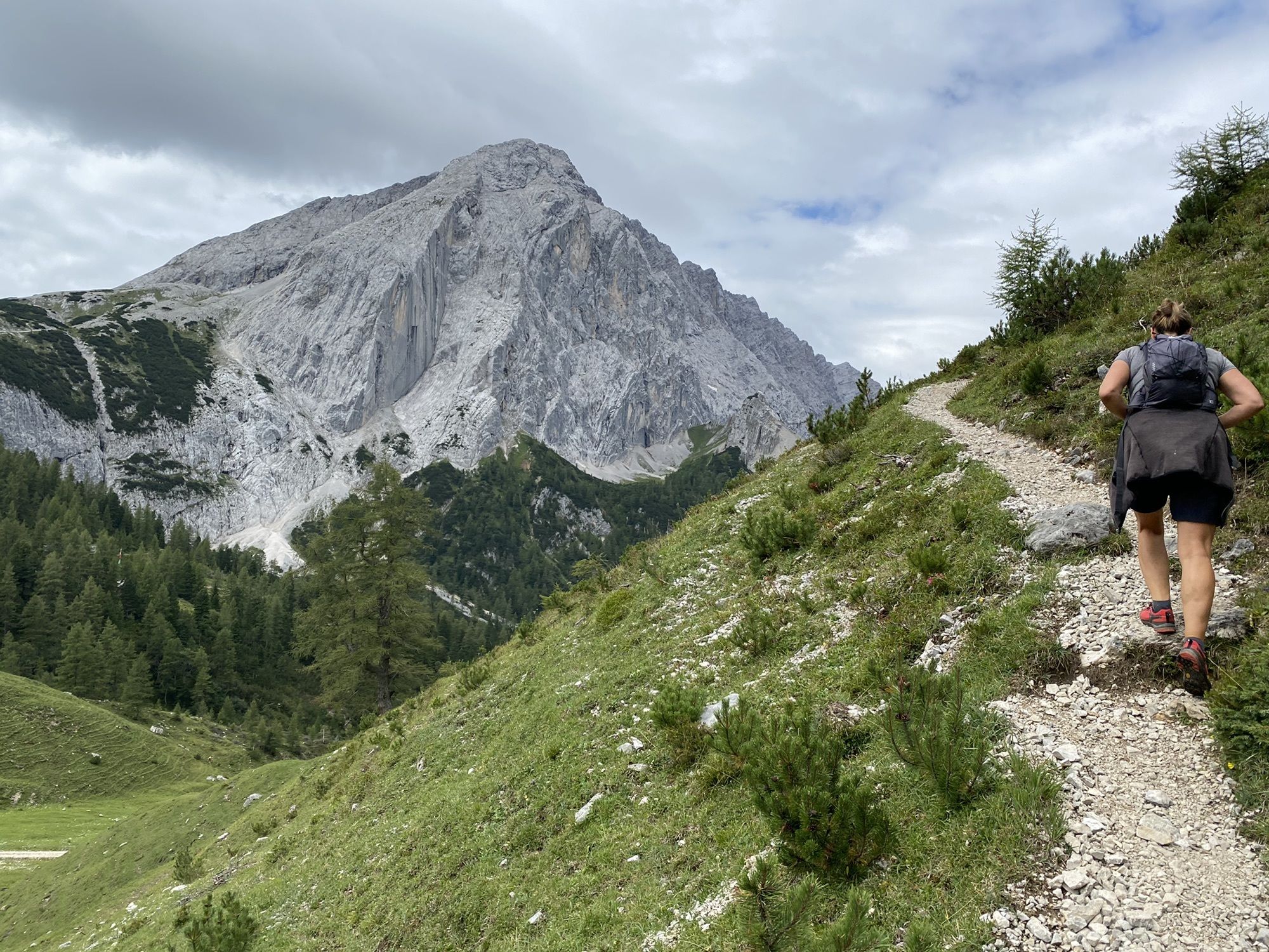
Photos from our users
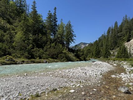
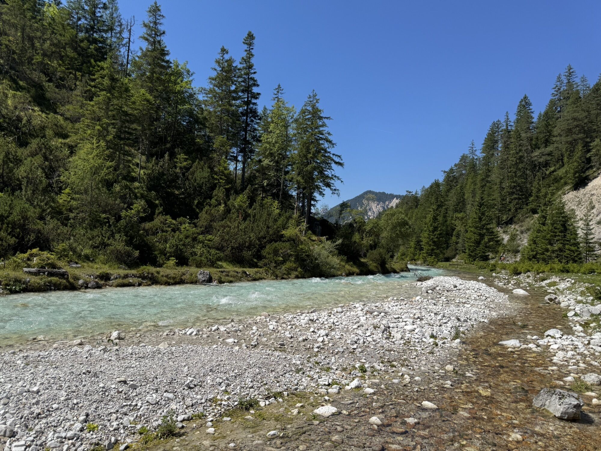
 © NorbertZCreated on 08.08.2025
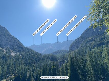 © NorbertZCreated on 08.08.2025
 © NorbertZCreated on 08.08.2025
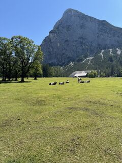 © NorbertZCreated on 08.08.2025
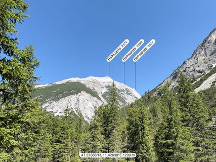 © NorbertZCreated on 08.08.2025
 © NorbertZCreated on 08.08.2025
 © NorbertZCreated on 08.08.2025
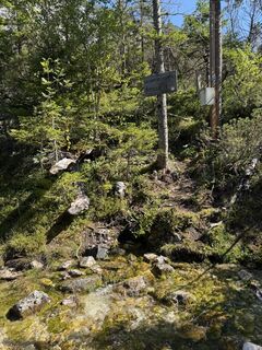 © NorbertZCreated on 08.08.2025
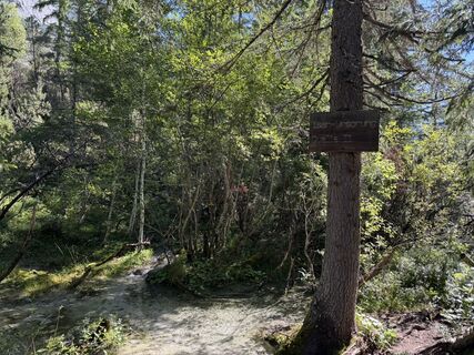 © NorbertZCreated on 08.08.2025
 © NorbertZCreated on 08.08.2025
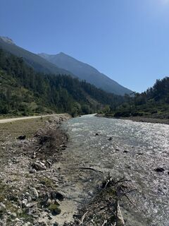 © NorbertZCreated on 08.08.2025
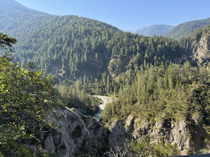 © NorbertZCreated on 08.08.2025
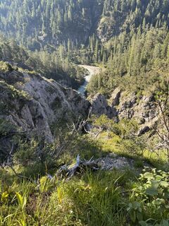 © NorbertZCreated on 08.08.2025
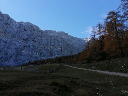
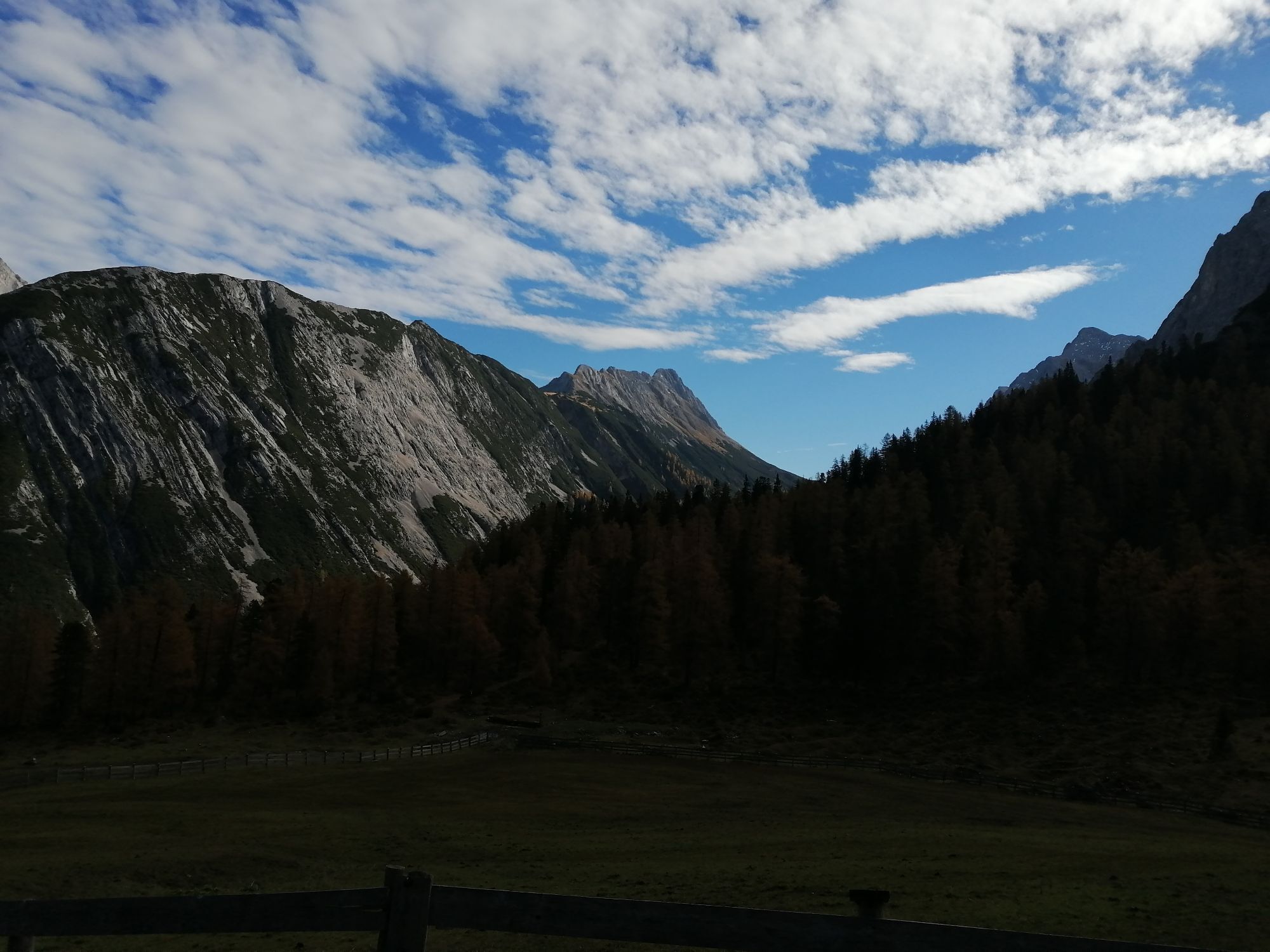
 © Karl-HeinzCreated on 16.10.2022
 © Karl-HeinzCreated on 16.10.2022
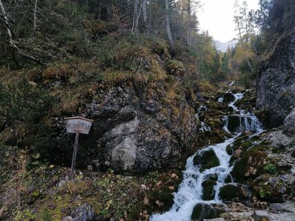 © Karl-HeinzCreated on 16.10.2022
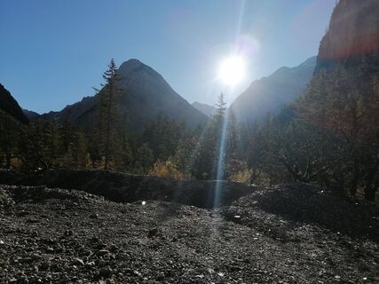 © Karl-HeinzCreated on 16.10.2022
 © Karl-HeinzCreated on 16.10.2022
 © Karl-HeinzCreated on 16.10.2022
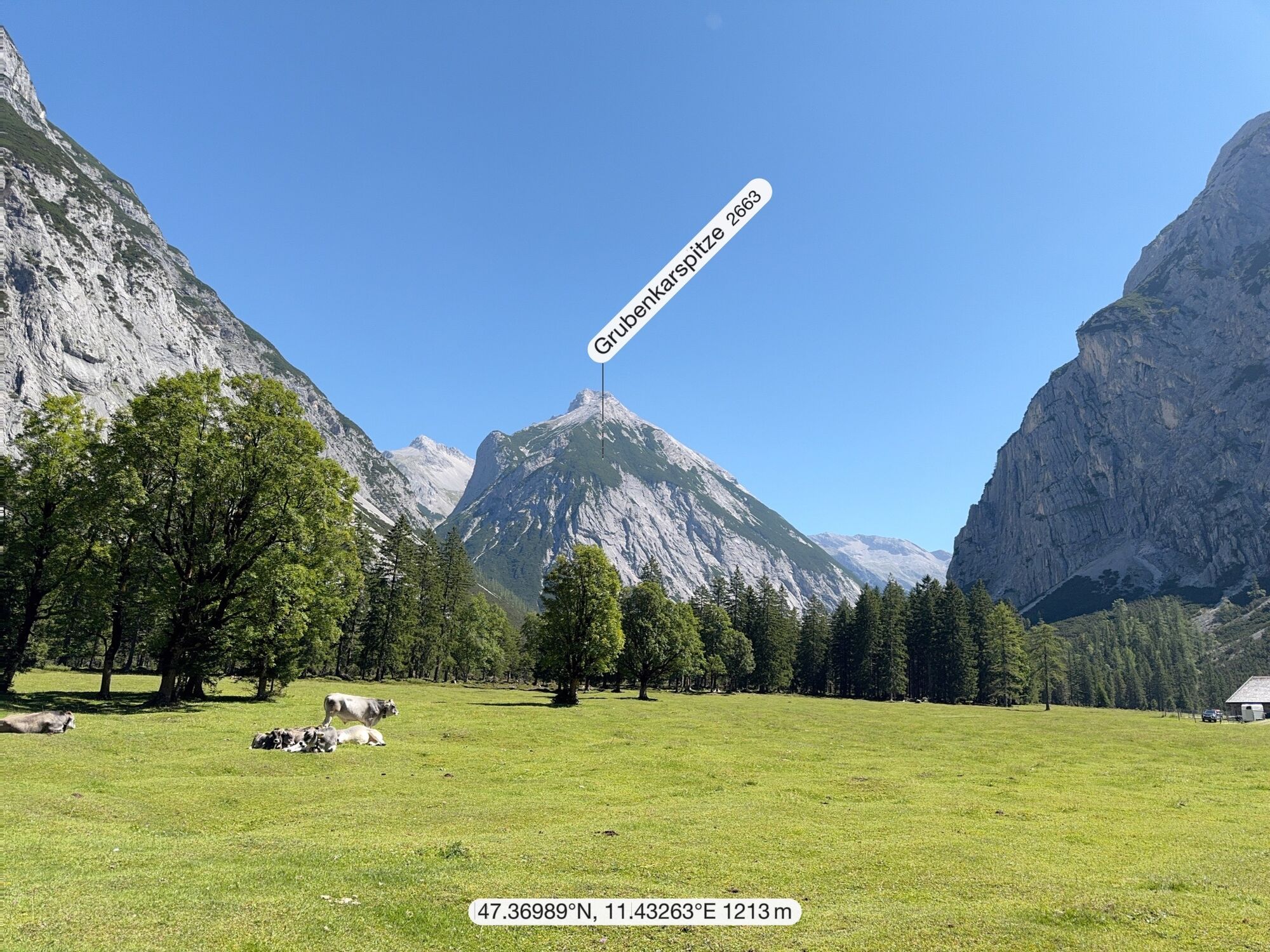
 © Dietmar RosanelliCreated on 07.09.2024
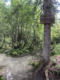
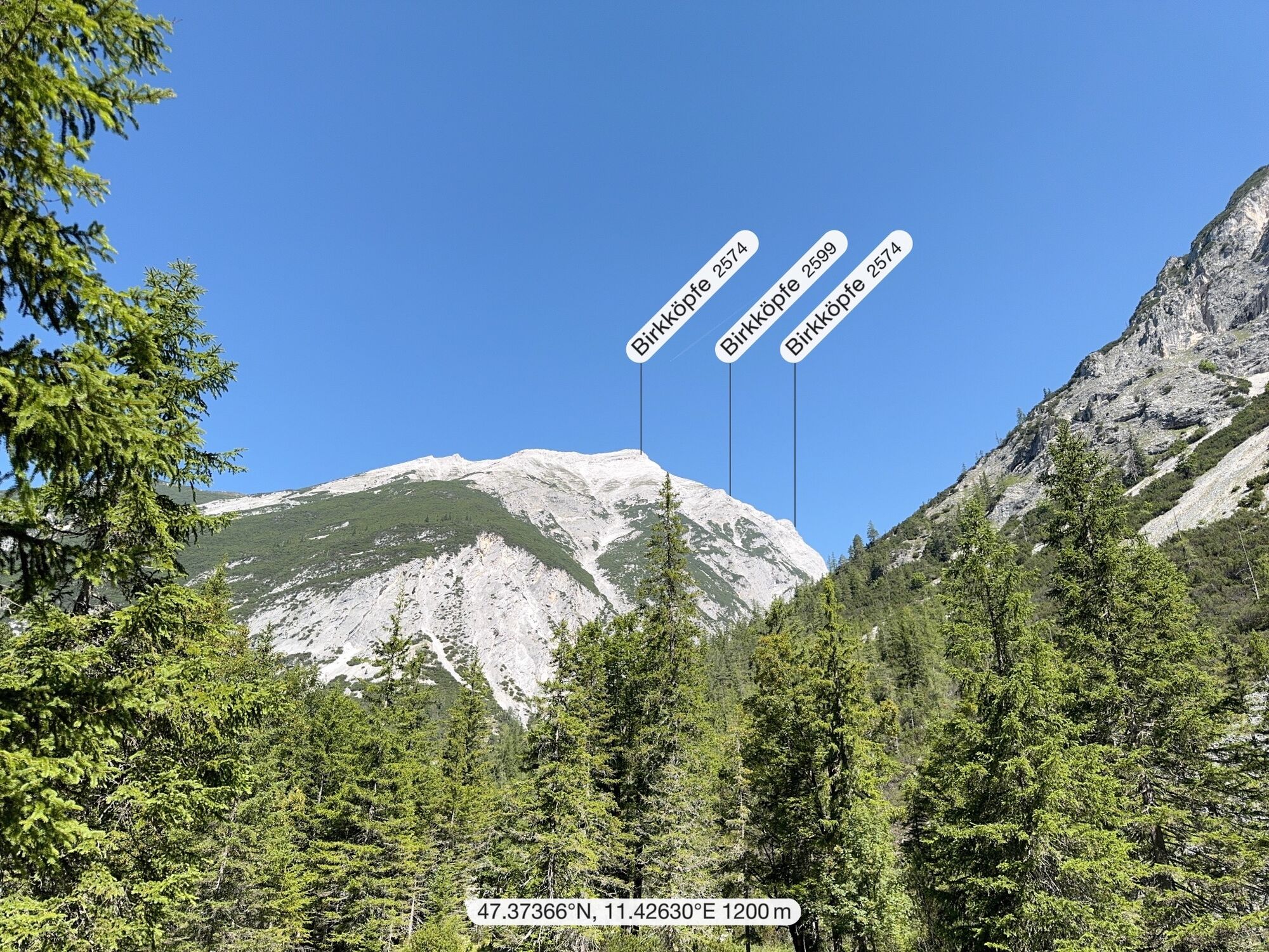
 © Karsten-aus-TirolCreated on 10.08.2023
 © Sabrina SeidnerCreated on 08.06.2023
 © Sabrina SeidnerCreated on 08.06.2023
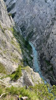 © Sabrina SeidnerCreated on 08.06.2023
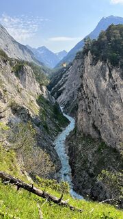 © Sabrina SeidnerCreated on 08.06.2023
 © Sabrina SeidnerCreated on 08.06.2023
 © Sabrina SeidnerCreated on 08.06.2023
 © Sabrina SeidnerCreated on 08.06.2023
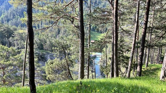 © Sabrina SeidnerCreated on 08.06.2023
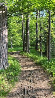 © Sabrina SeidnerCreated on 08.06.2023
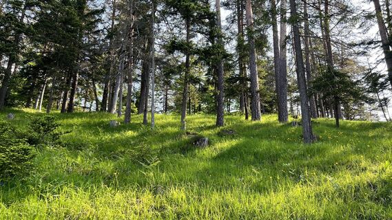 © Sabrina SeidnerCreated on 08.06.2023
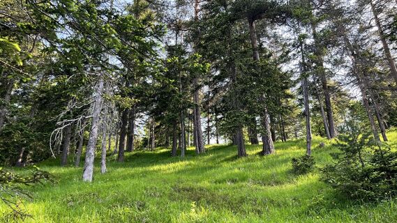 © Sabrina SeidnerCreated on 08.06.2023
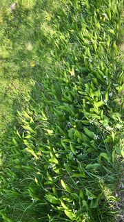 © Sabrina SeidnerCreated on 08.06.2023
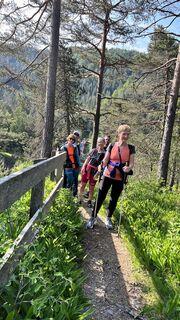 © Sabrina SeidnerCreated on 08.06.2023
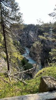 © Sabrina SeidnerCreated on 08.06.2023
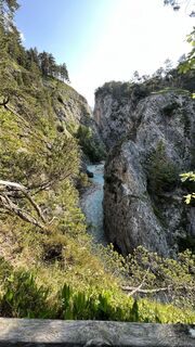 © Sabrina SeidnerCreated on 08.06.2023
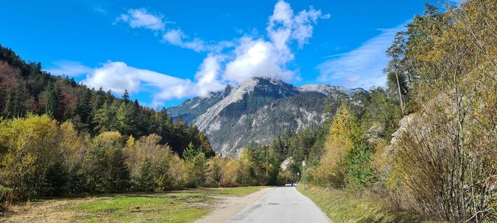 © OakvandoakCreated on 15.10.2022
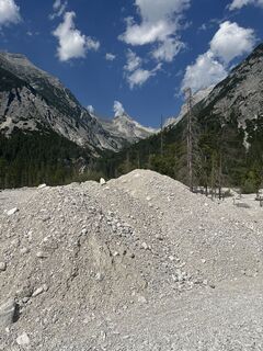 © Petra LintnerCreated on 11.08.2025
 © Petra LintnerCreated on 11.08.2025
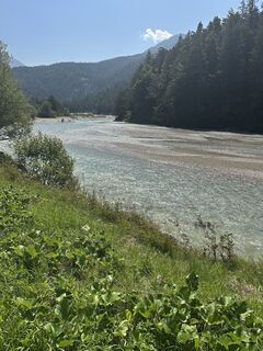 © Petra LintnerCreated on 11.08.2025


Route
Scharnitz
(964 m)
Village
0,0 km
Raggin Gufl
(1.048 m)
Cave entrance
3,5 km
Gleirschhöhe
(1.069 m)
Corridor/terrain
3,9 km
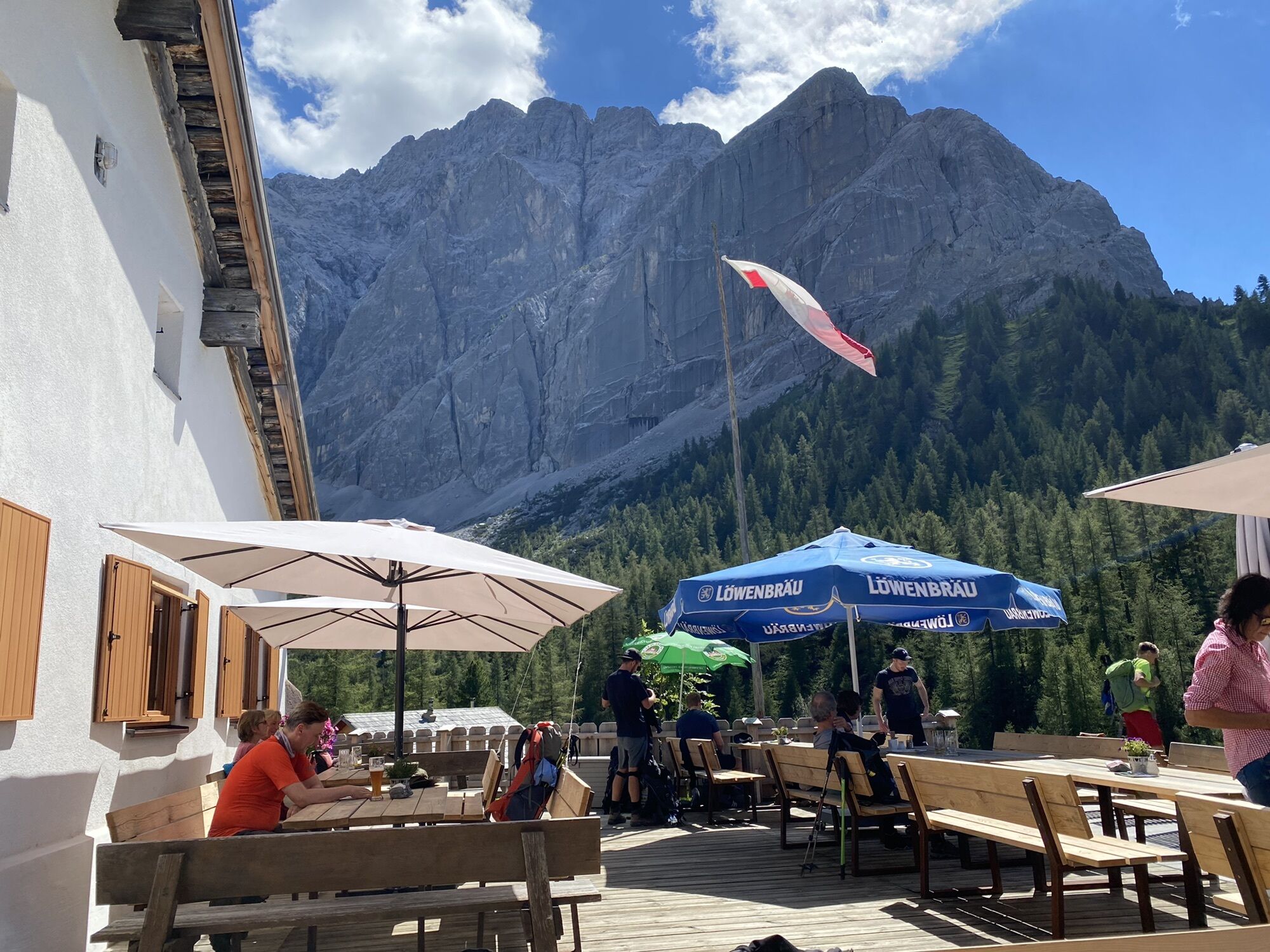
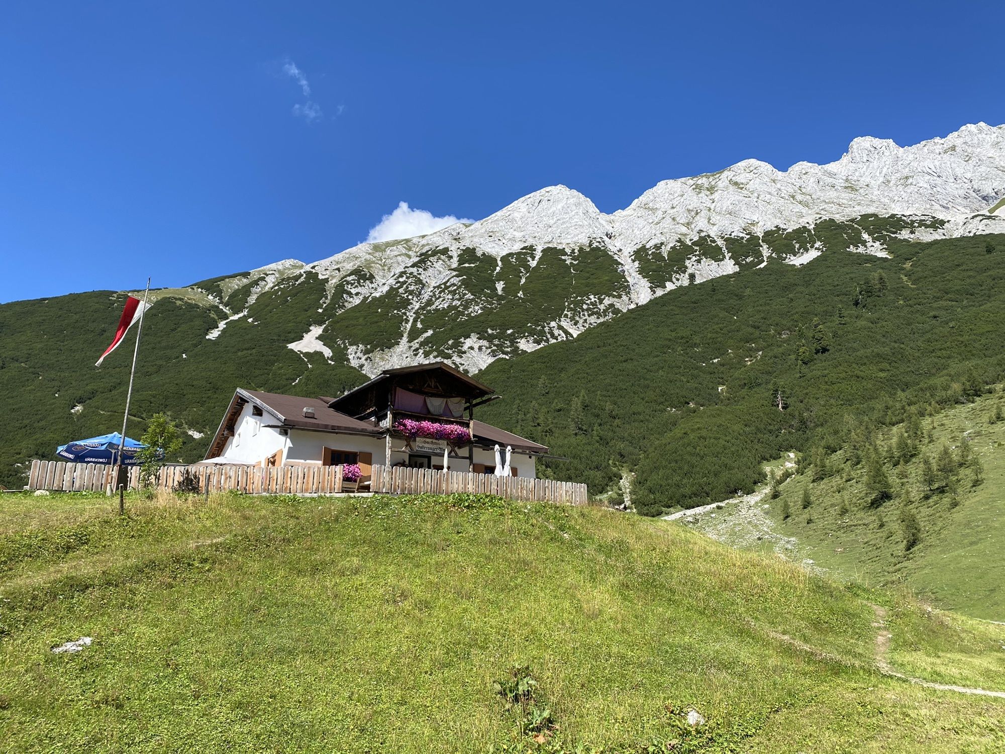
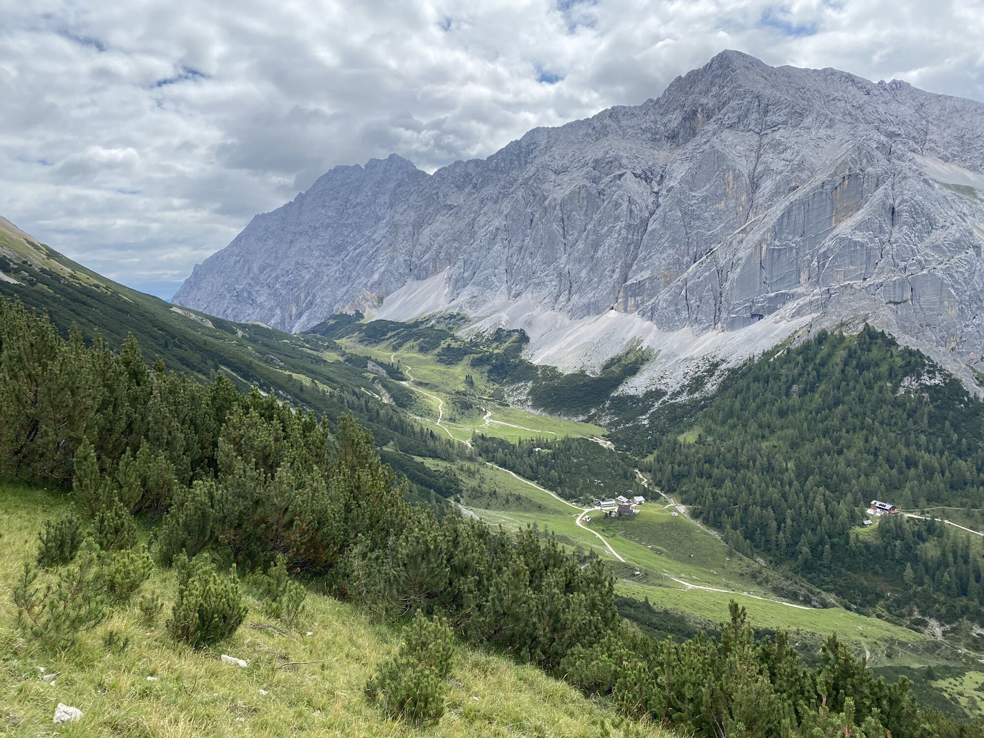
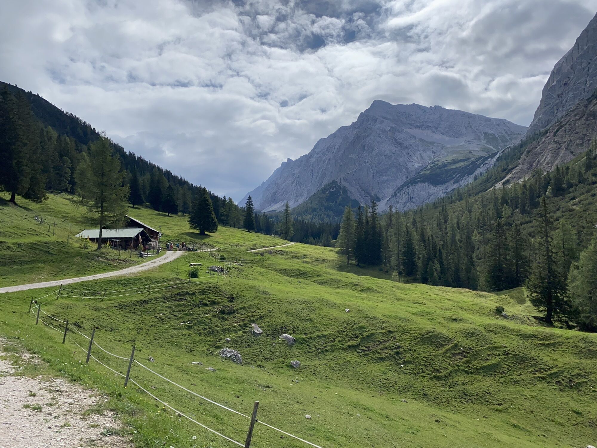
Hallerangerhaus
(1.766 m)
Shelter
19,2 km
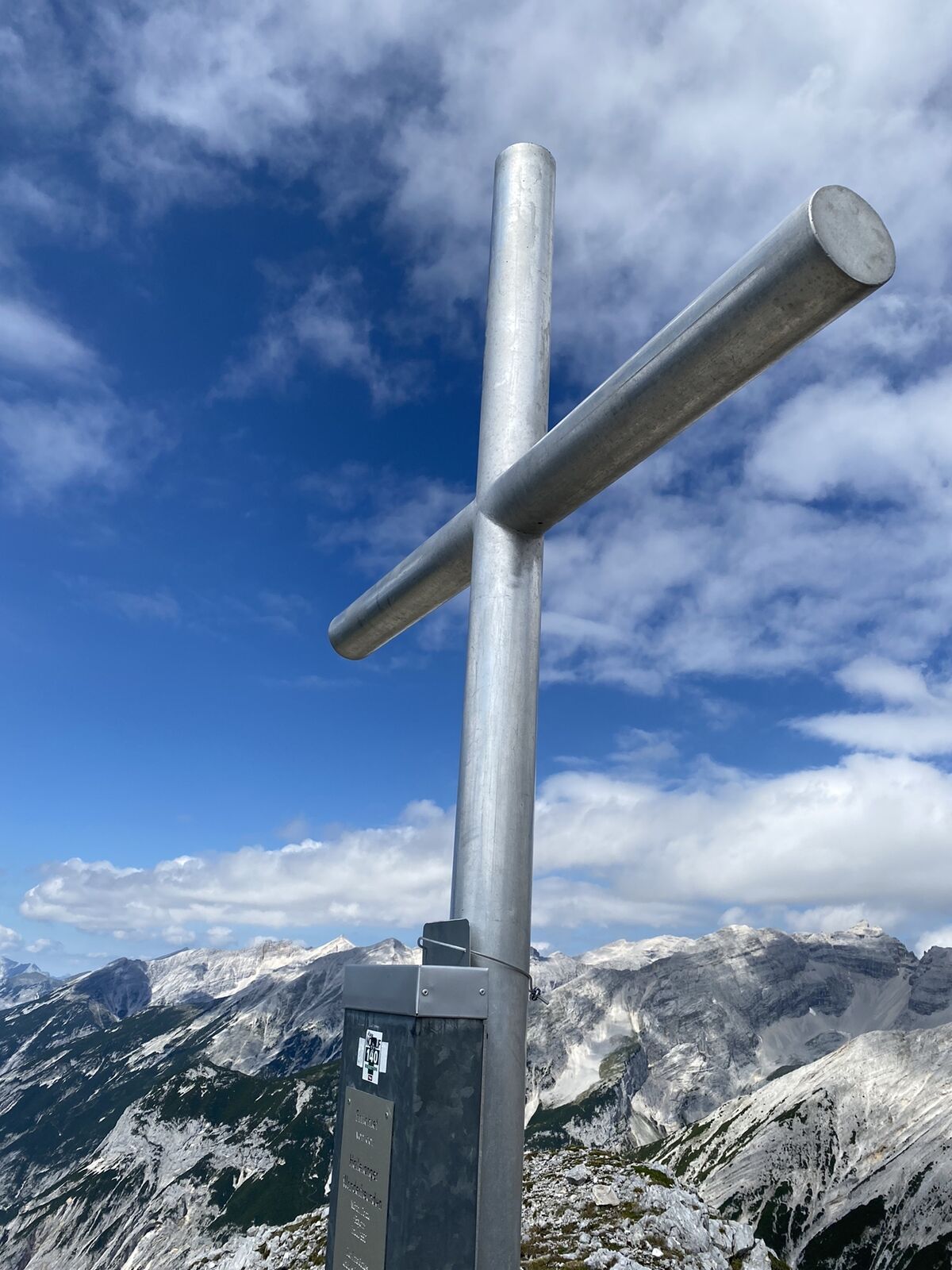
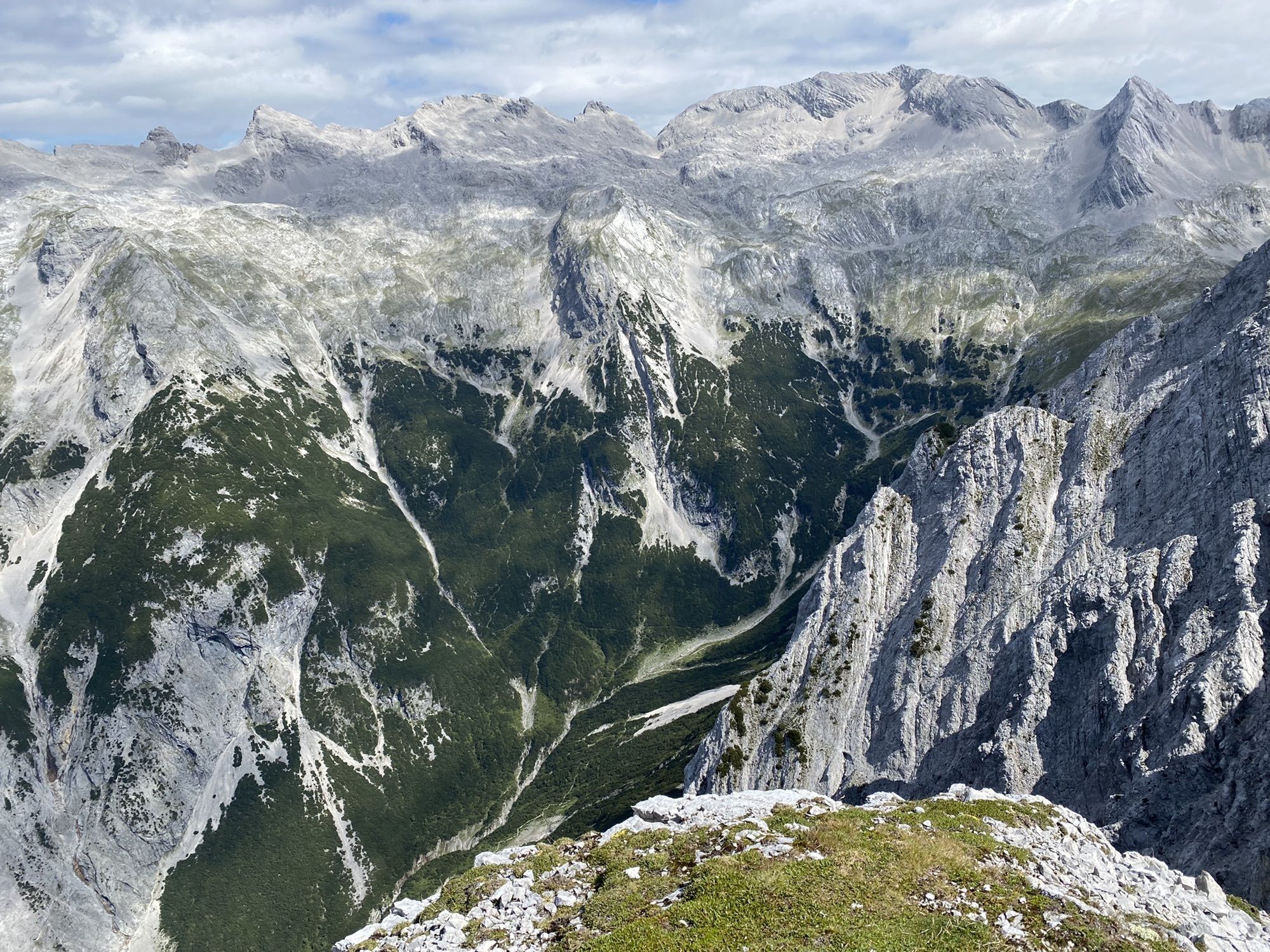
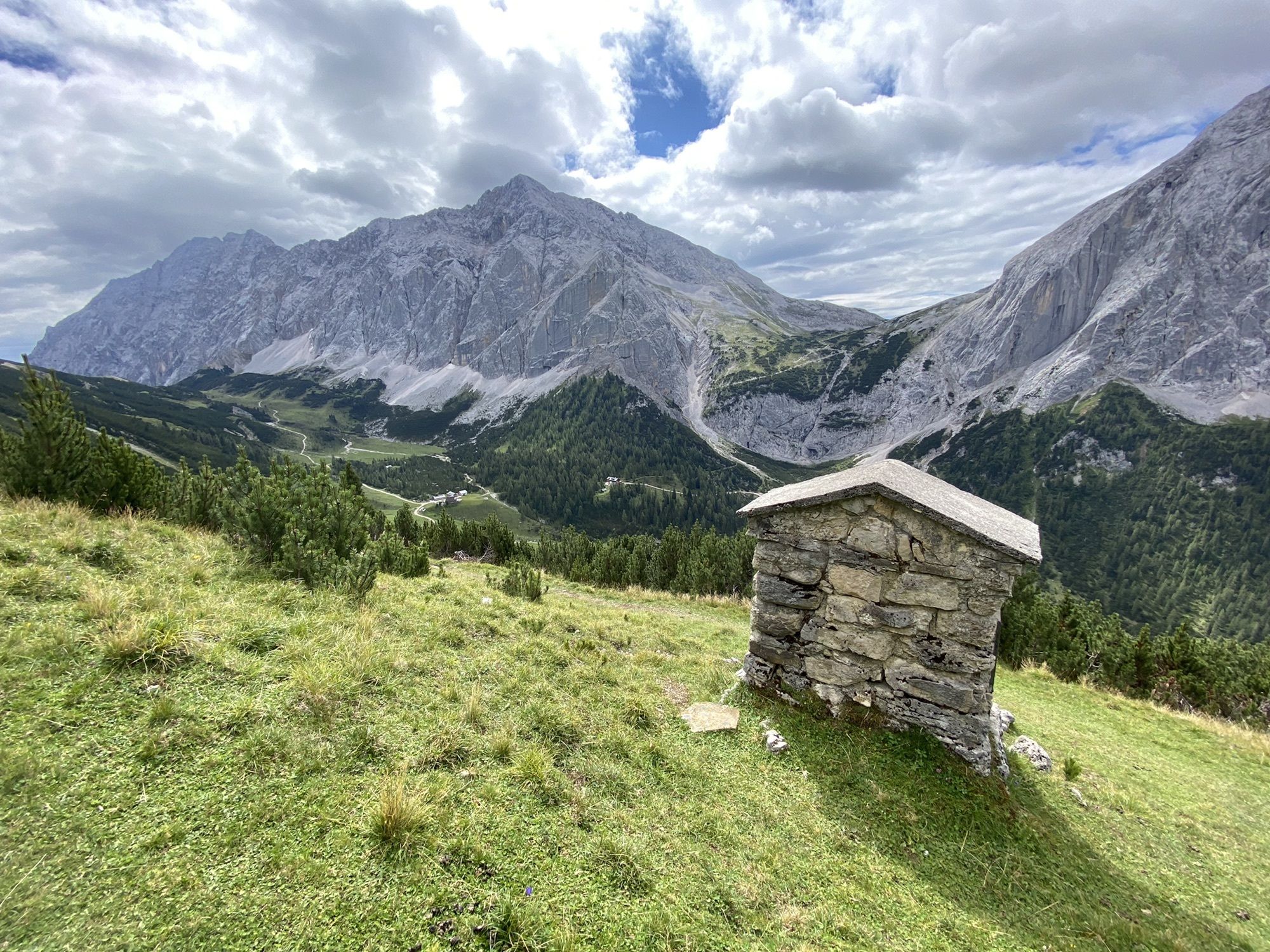
Sunntigerspitze
(2.322 m)
Summit
22,0 km
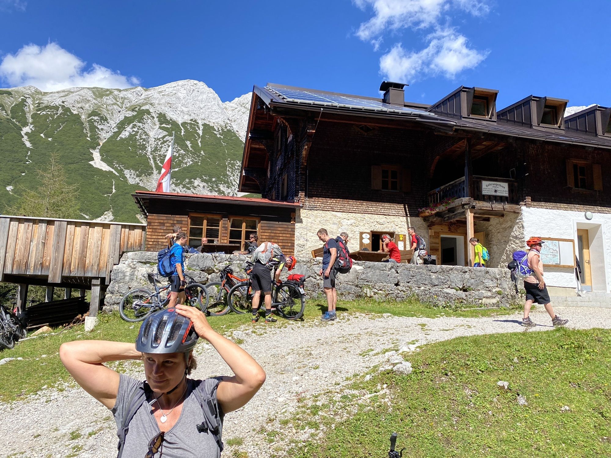
Hallerangeralm
(1.770 m)
Shelter
24,6 km
Scharnitz
(964 m)
Village
43,8 km
Route
E-Bike & Hike Hallerangeralm / Sunntigerspitze
heavy
E-Bike
43,93
km
Scharnitz
(964 m)
Village
0,0 km
Natur-Erlebnis-Spielplatz bei der Holzerhütte
(965 m)
Playground
0,0 km
Karwendelklamm-Blick
(979 m)
Viewpoint
1,6 km
Raggin Gufl
(1.048 m)
Cave entrance
3,5 km
Gleirschhöhe
(1.069 m)
Corridor/terrain
3,9 km
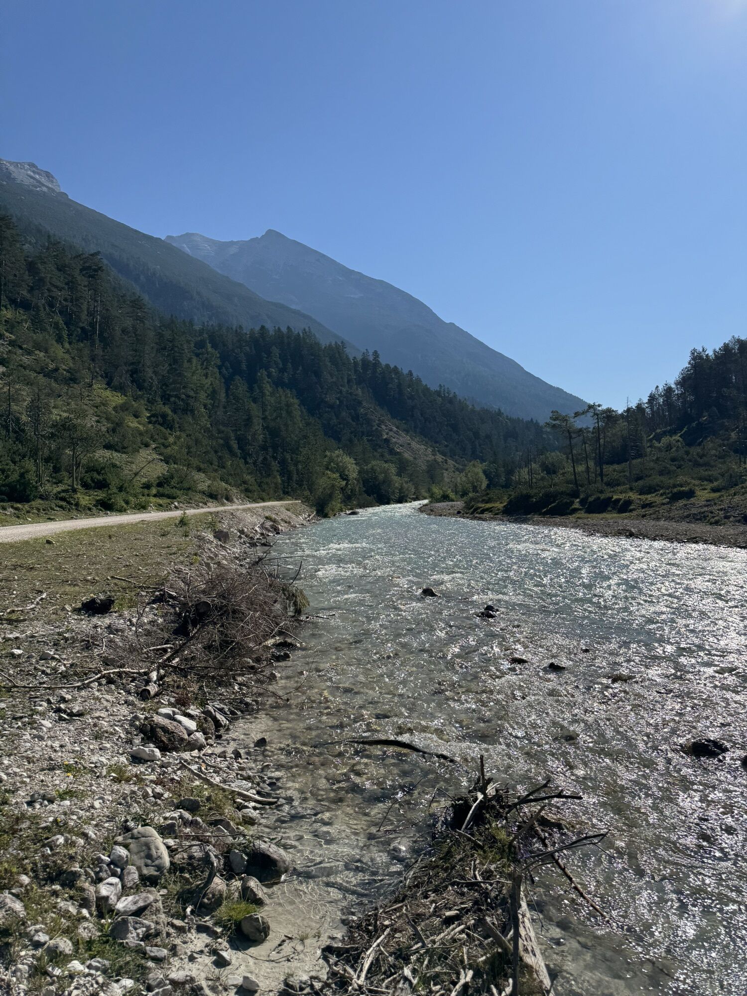
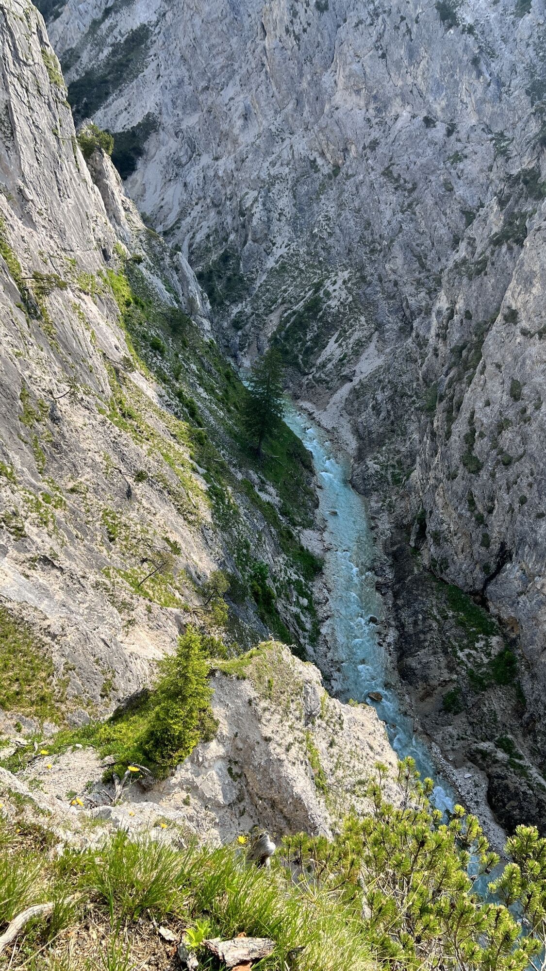
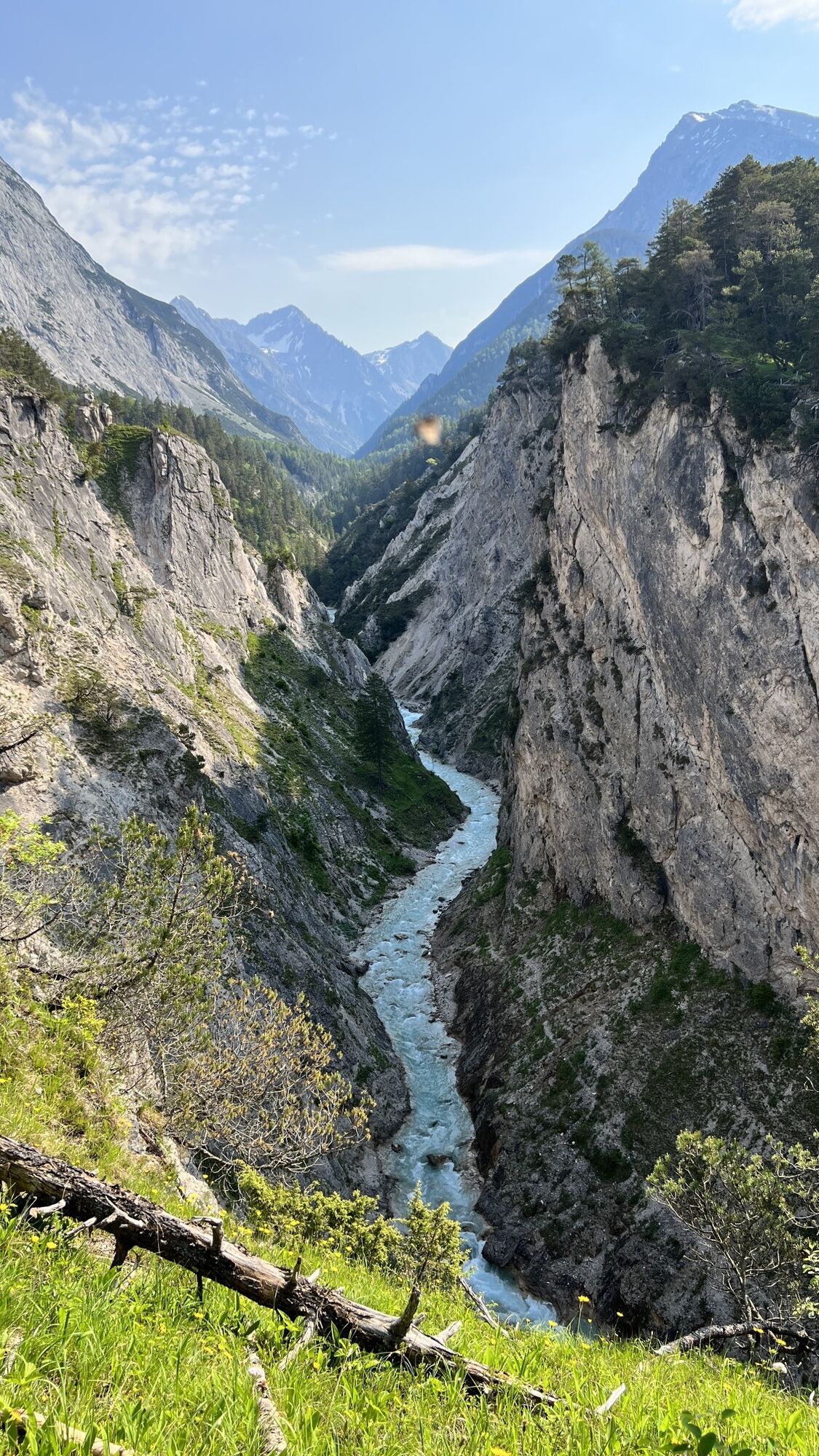
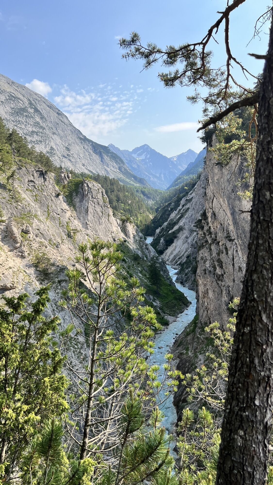
Blick auf die Isar
(1.056 m)
Viewpoint
5,2 km
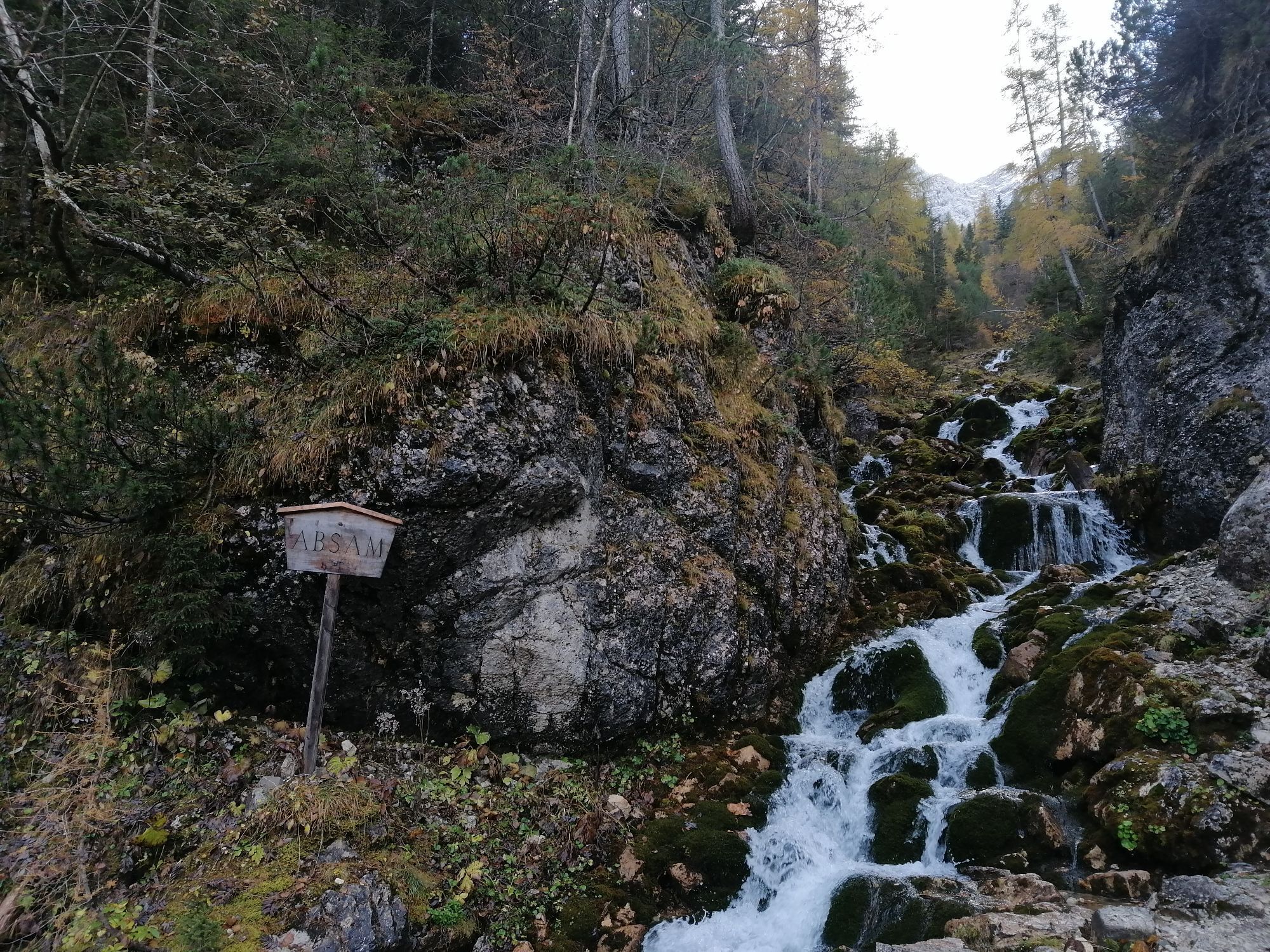
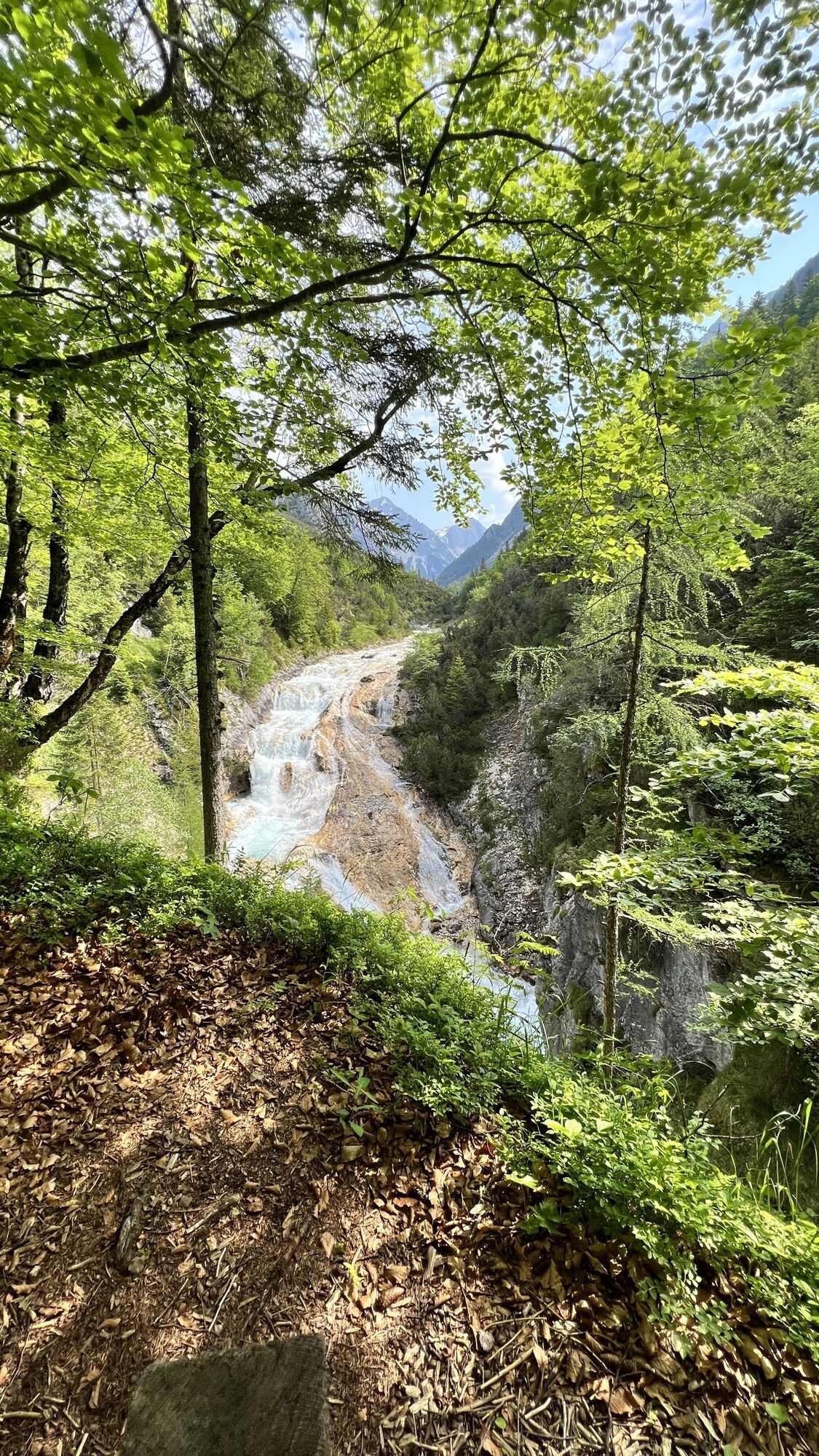
Gschnierbach-Wasserfall
(1.581 m)
Waterfall
16,5 km
Hallerangerhaus
(1.766 m)
Shelter
19,2 km
Sunntigerspitze
(2.322 m)
Summit
22,0 km
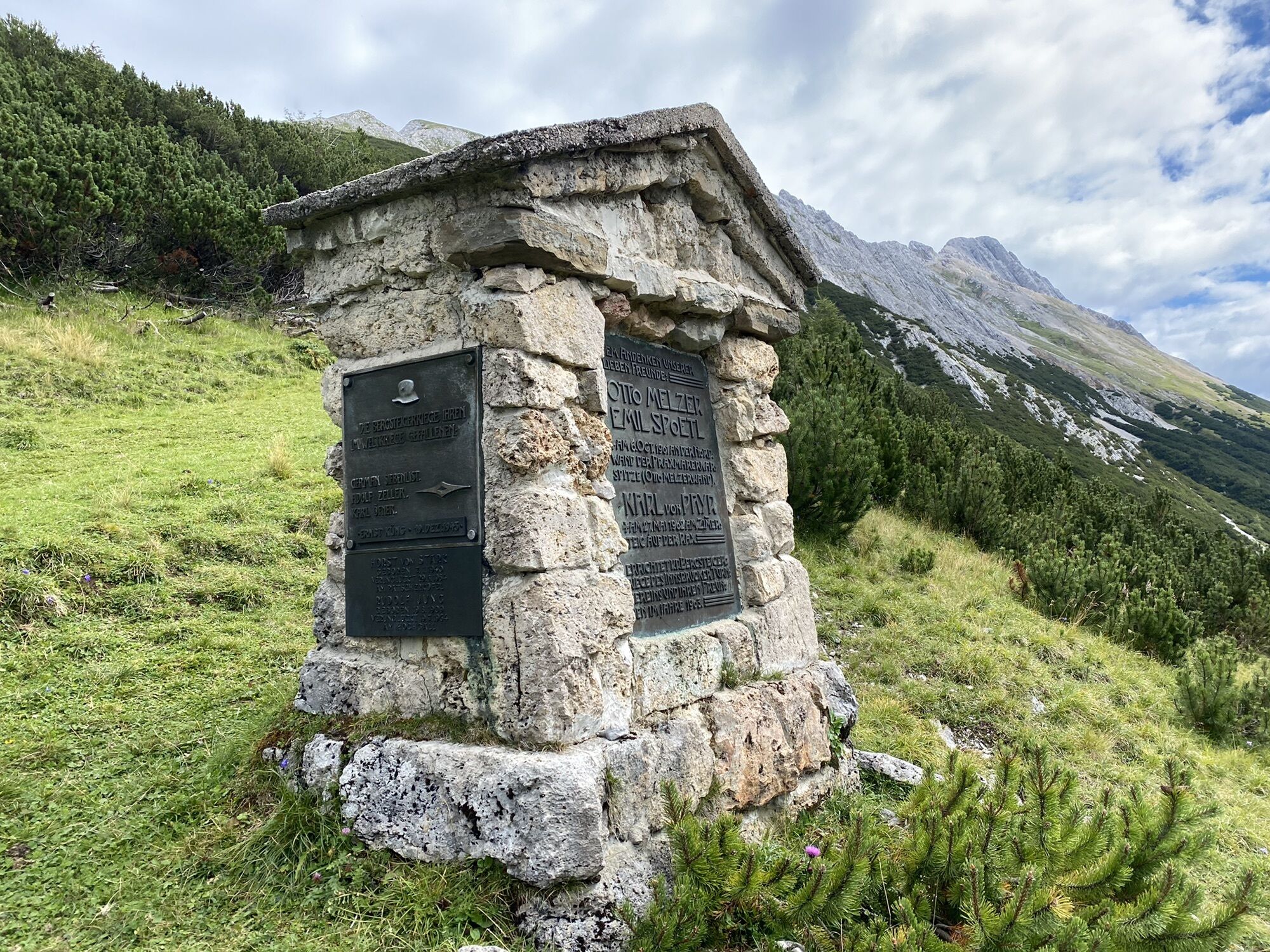
Melzerdenkmal
(1.997 m)
Corridor/terrain
23,2 km
Hauskapelle
(1.767 m)
Place of worship
24,5 km
Hallerangeralm
(1.770 m)
Shelter
24,6 km
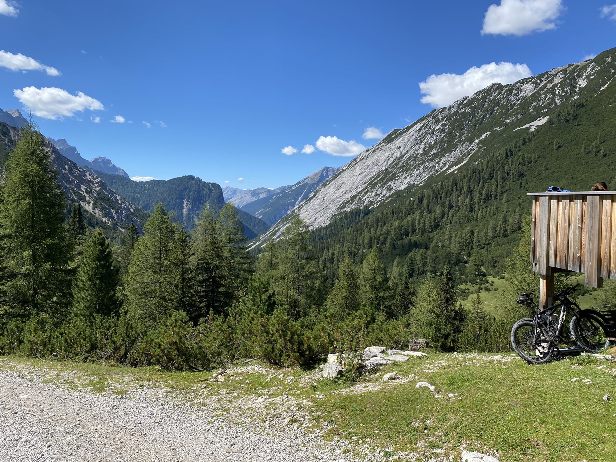
Hallerangerhaus
(1.766 m)
Shelter
25,0 km
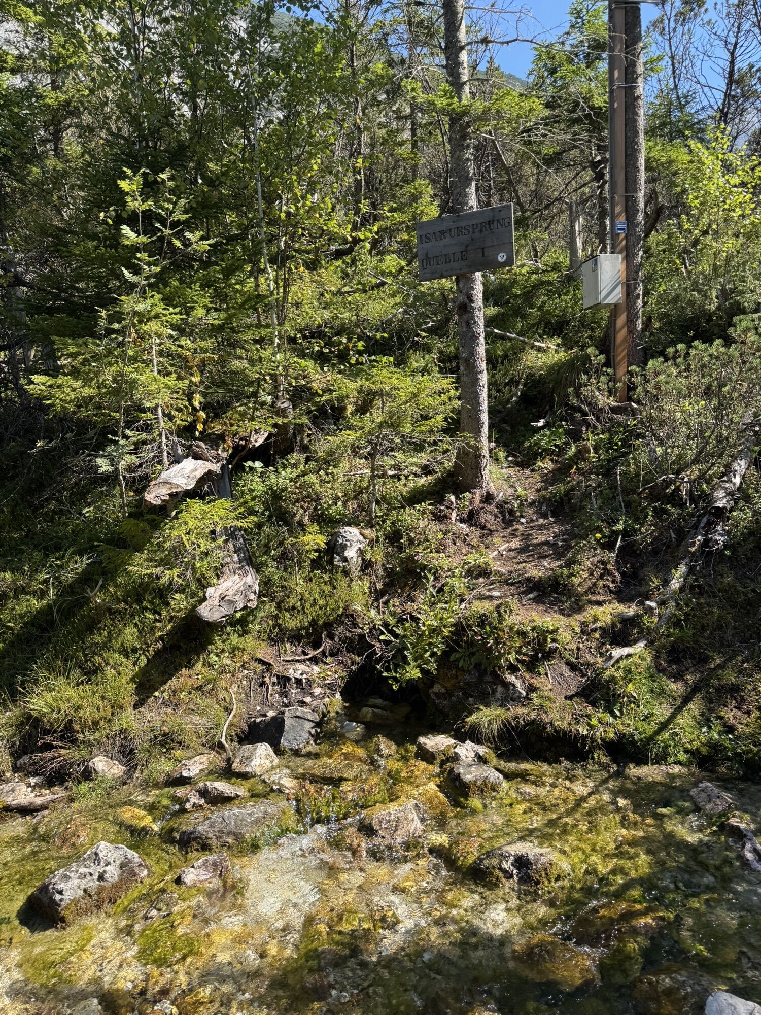
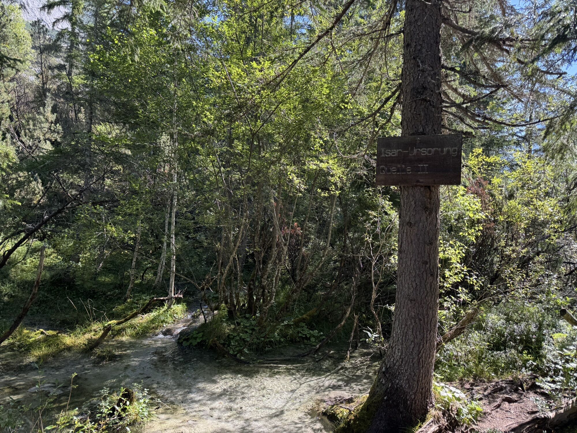
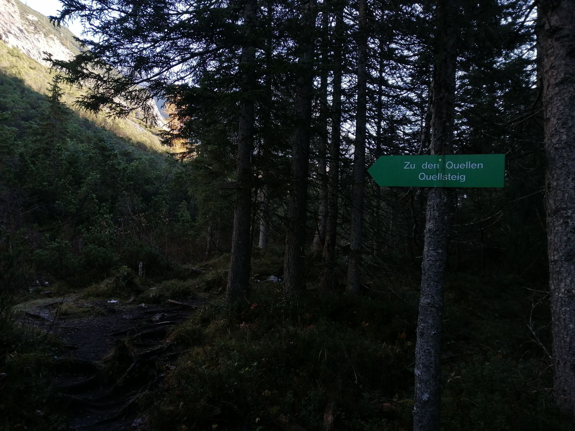
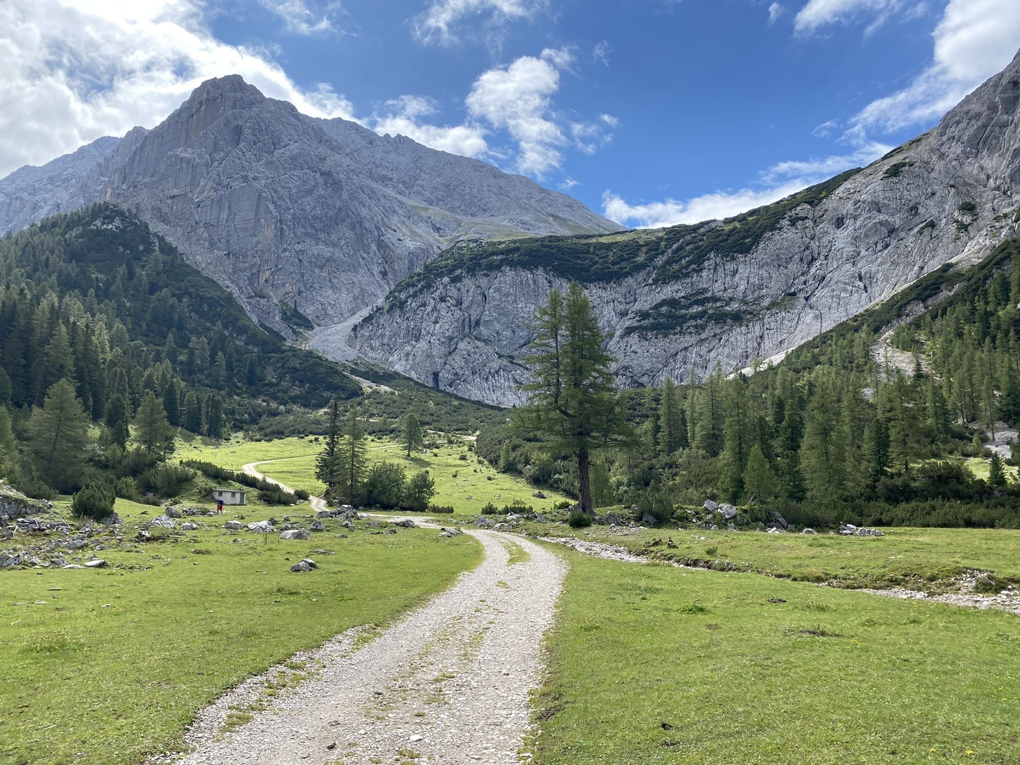
Isar Ursprung
(1.160 m)
Source
32,0 km
Blick auf die Isar
(1.056 m)
Viewpoint
38,6 km
Gleirschhöhe
(1.069 m)
Corridor/terrain
40,0 km
Natur-Erlebnis-Spielplatz bei der Holzerhütte
(965 m)
Playground
43,7 km
Scharnitz
(964 m)
Village
43,8 km
No reviews yet
Popular tours in the neighbourhood
- 4,2
"Königstour" über die Gipfel
Hiking4,52 km - 4,6
Leutaschklamm
lightHiking4,55 km - 4,7
To the scenic Hochmahdkopf
mediumHiking8,31 km - 3,7
To the alpine inn St. Magdalena in the Halltal
mediumHiking7,24 km - 4,6
Hinterriss - Eng - Falkenhütte
mediumHiking6,88 km Der Goethe Weg in Tirol
mediumHiking15,9 km- 4,0
In the footsteps of Emperor Franz I to the Kaisersäule
mediumHiking11,0 km Through the Halltal to the gem Issanger
mediumHiking13,7 km- 4,9
Gleirschklamm
mediumHiking15,4 km - 4,8
Torscharte
mediumHiking13,8 km
Hiking & Tracking

Over 550.000 tour suggestions, detailed maps and an intuitive route planner make the app a must-have for all nature enthusiasts.

Don't miss out on offers and inspiration for your next holiday
Subscribe to the newsletter
Error
An error has occurred. Please try again.Thank you for your registration
Your e-mail address has been added to the mailing list.
Tours throughout Europe
Austria Switzerland Germany Italy Slovenia France Netherlands Belgium Poland Liechtenstein Czechia Slovakia Spain Croatia Bosnia and Herzegovina Luxembourg Andorra Portugal Iceland United Kingdom Ireland Greece Albania North Macedonia Malta Norway Montenegro Moldova Kosovo Hungary San Marino Romania Estonia Latvia Belarus Cyprus Lithuania Serbia Bulgaria Monaco Denmark Sweden Finland