


Circular hike from the Thal reservoir over Tempelchen, Hohler Stein, Aschhof to Königshäuschen and back through the Mittelberger Grund with beautiful views, geological highlights and magical places. The...
Circular hike from the Thal reservoir over Tempelchen, Hohler Stein, Aschhof to Königshäuschen and back through the Mittelberger Grund with beautiful views, geological highlights and magical places. The route can be extended to a longer circular hike to Meisenstein.

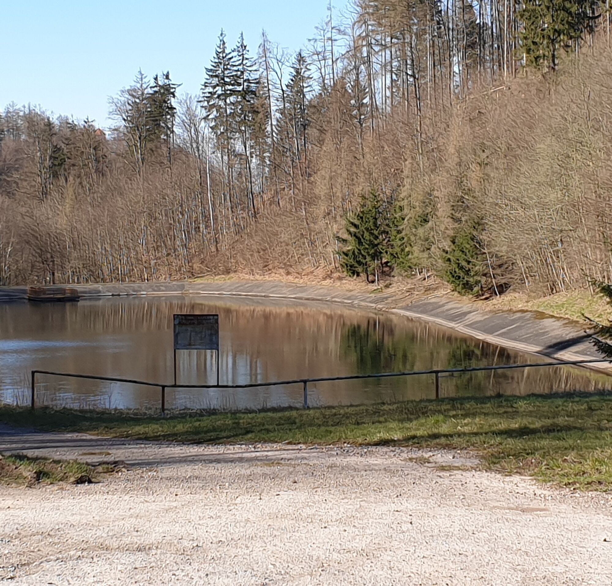
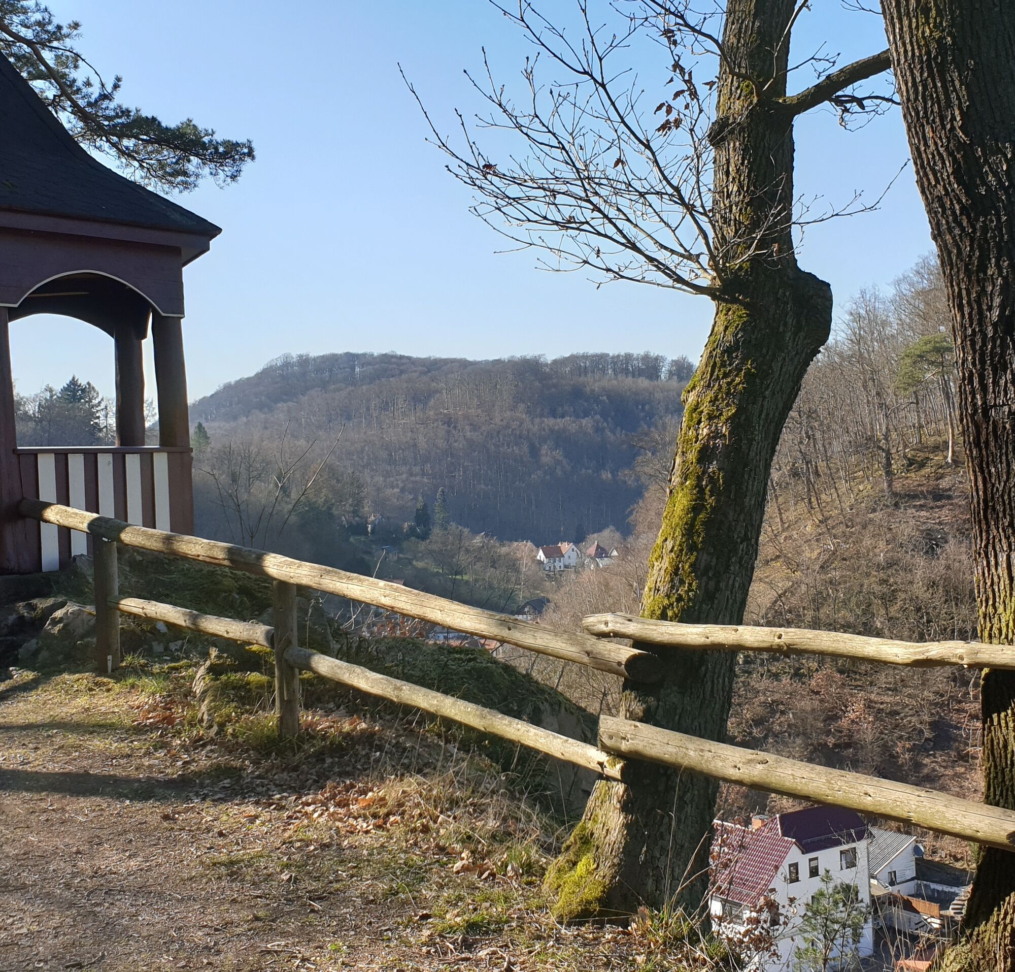
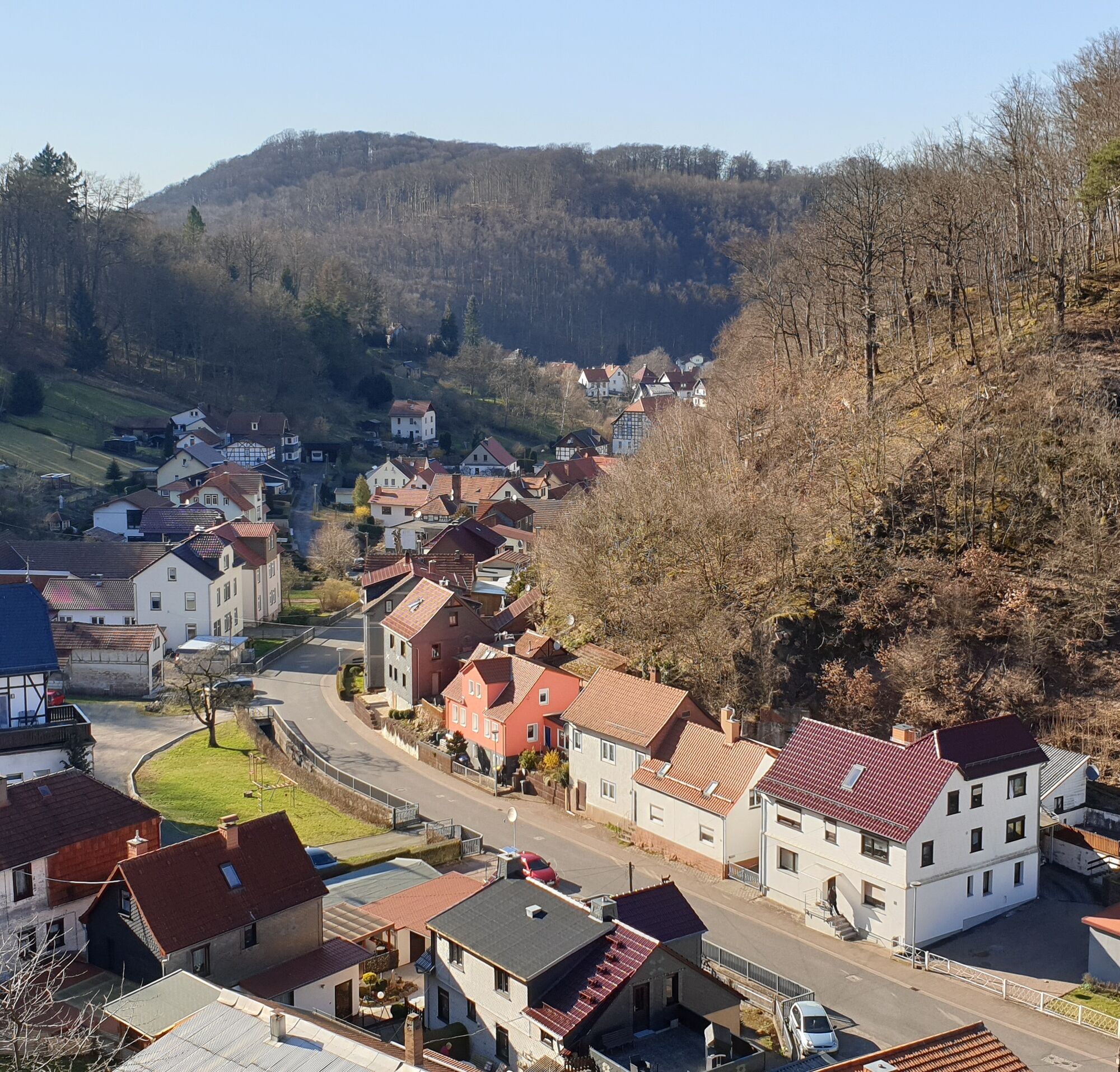
The start of the circular hike (marked yellow cross on white background) is at the Thal reservoir, a district of the mountain town Ruhla. From here the hike leads towards Thal to the Tempelchen, which is located at the entrance to the village, directed to the left upwards about 200 m on a rock outcrop. From here you have a beautiful view of the upper part of Thal and of the opposite Scharfenberg, where the castle ruins of the same name can be found. Now go back to the road and turn right onto the forest path to the next large crossroads with a seating area inviting you to rest.
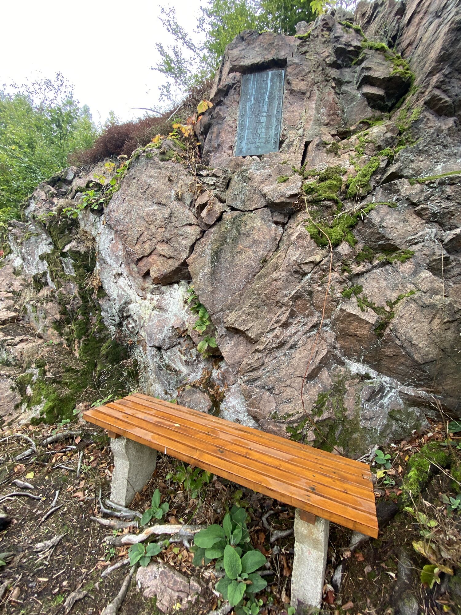
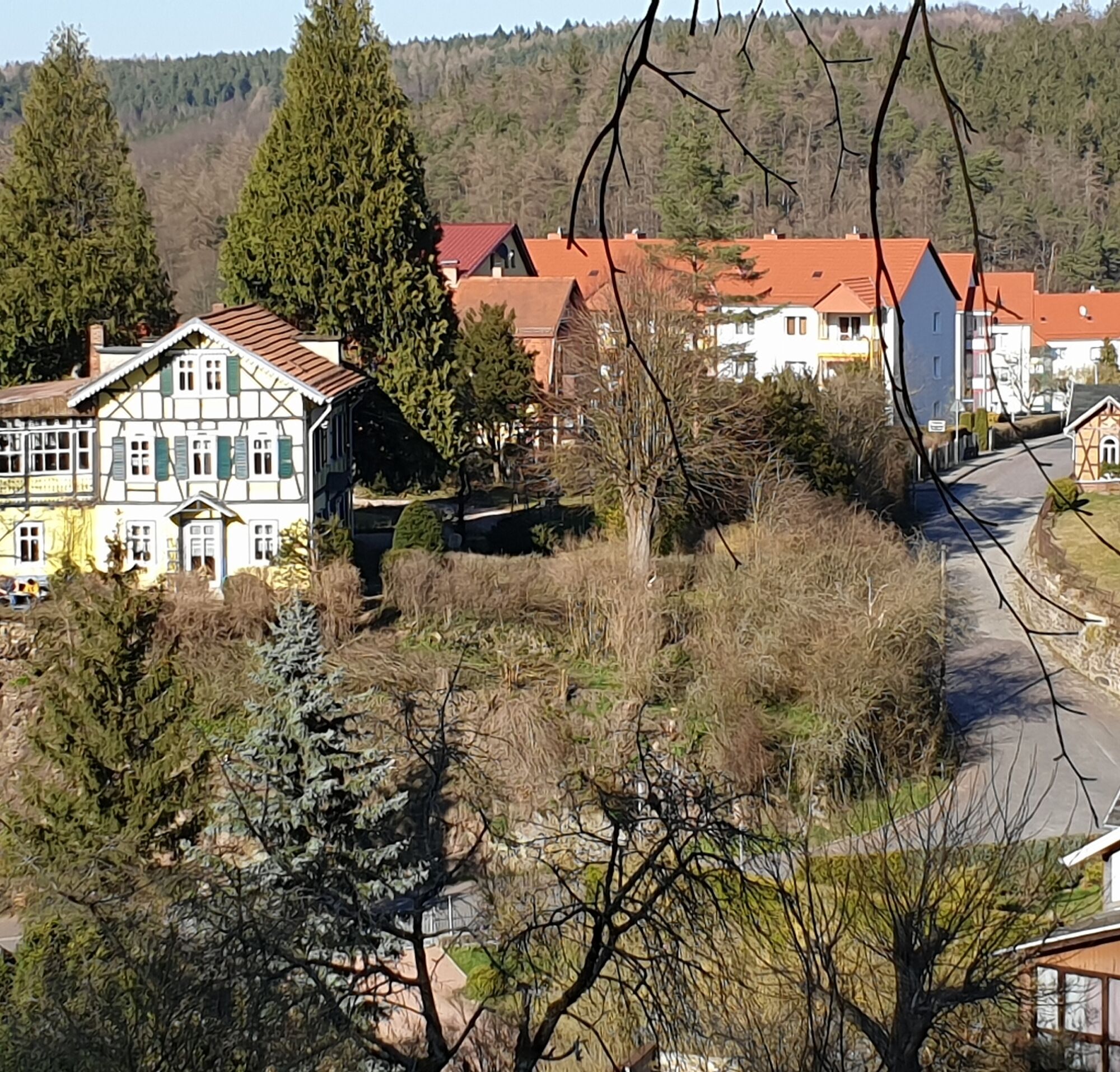
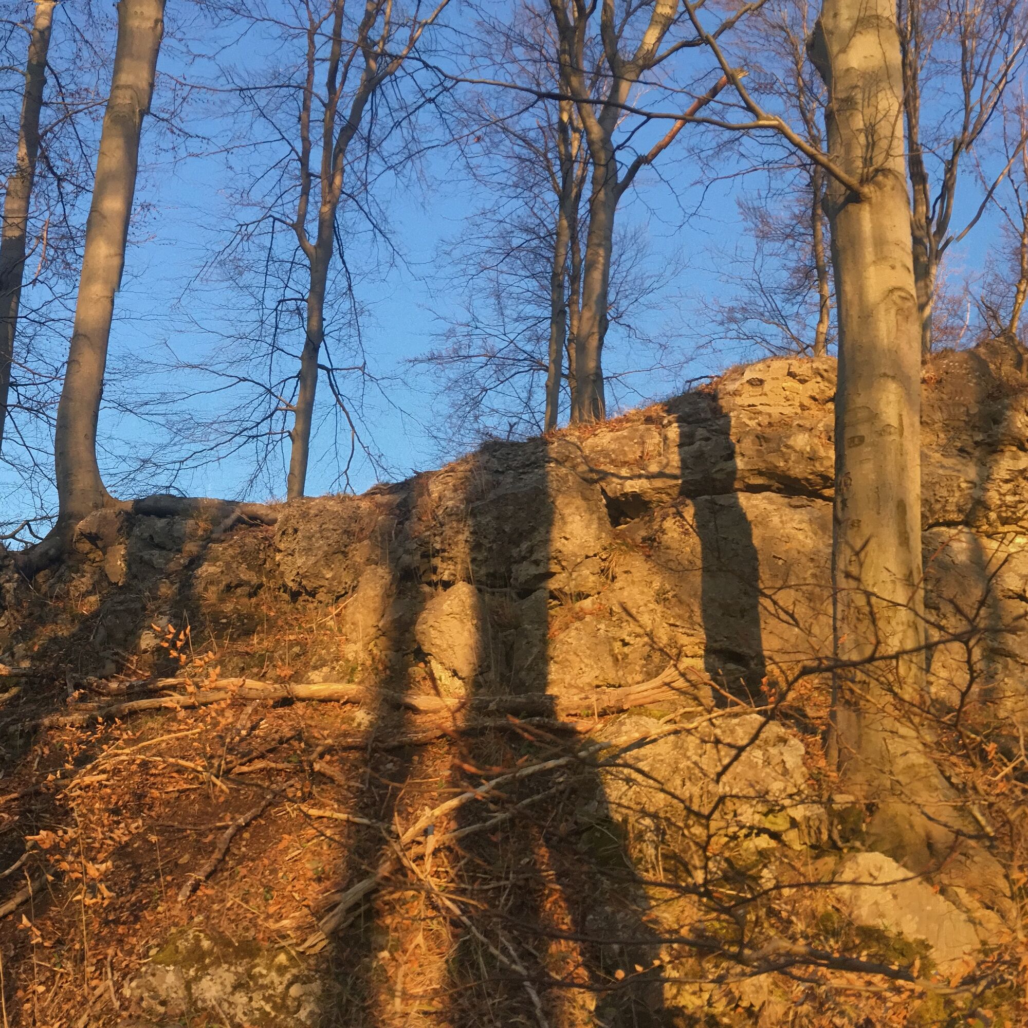
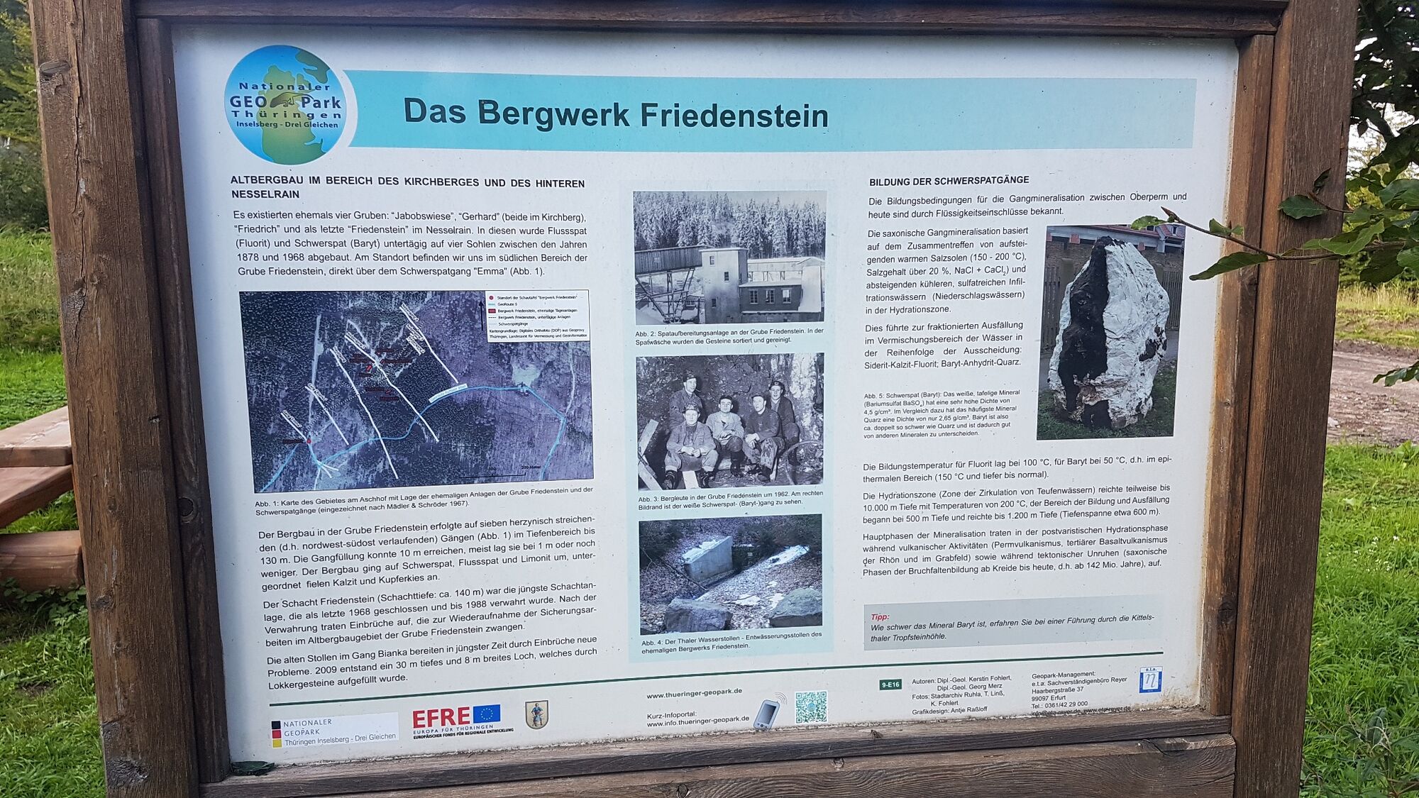
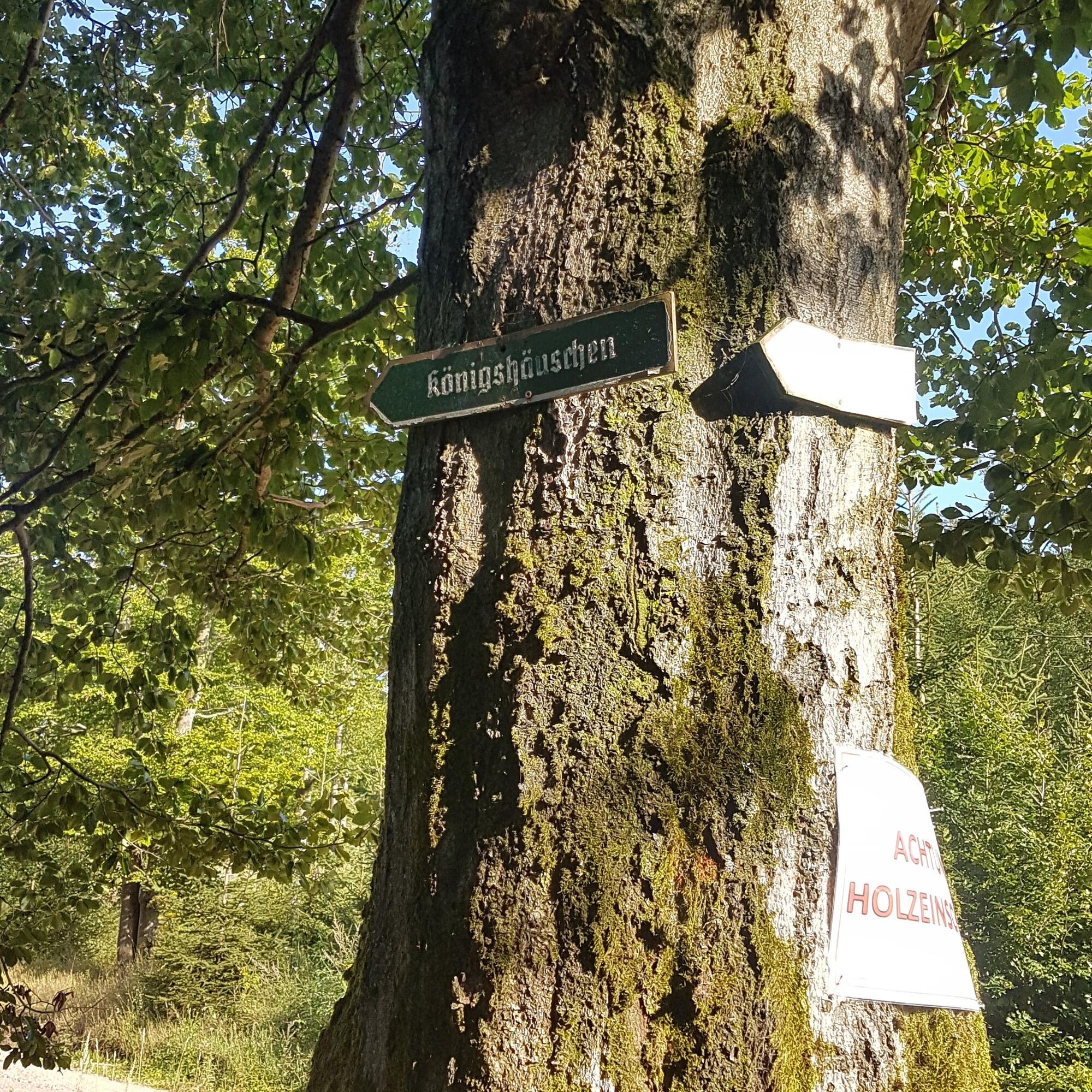
From here there is the possibility to shorten the route by following the signs "Königshäuschen" directly. However, it is recommended to make the detour to the "Hohler Stein". For this, cross straight ahead over the intersection and follow the yellow cross marking. After you could still go slightly downhill to the "Ütterodts Ruh" crossroads, a short ascent to the Schoßberg is now necessary. At the top, walk along the ridge path and reach the Hohler Stein after 250 m. This rock is the tip of a Zechstein reef, which the entire mountain consists of. And as the name suggests, there is a cave in the rock, whose entrance is located on the south side at about 2.5 m height. With a little luck, the patient can even find small fossils such as petrified plant remains or shells. From here, return the same way to the crossroads with the seating area and continue uphill straight ahead to Aschhof. Next to a Finnish hut there is also an information board about the baryte mining that was carried out in this area.
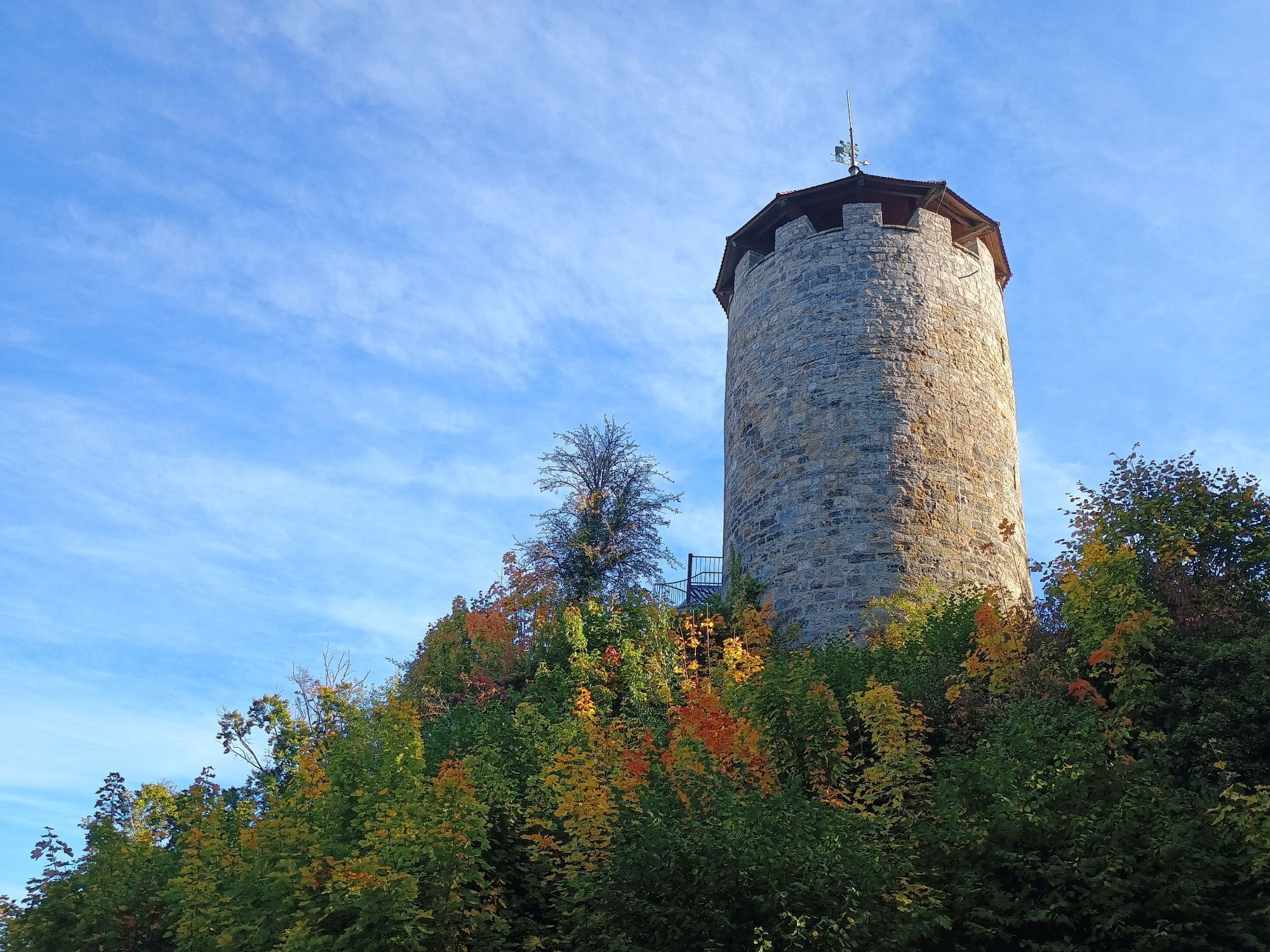
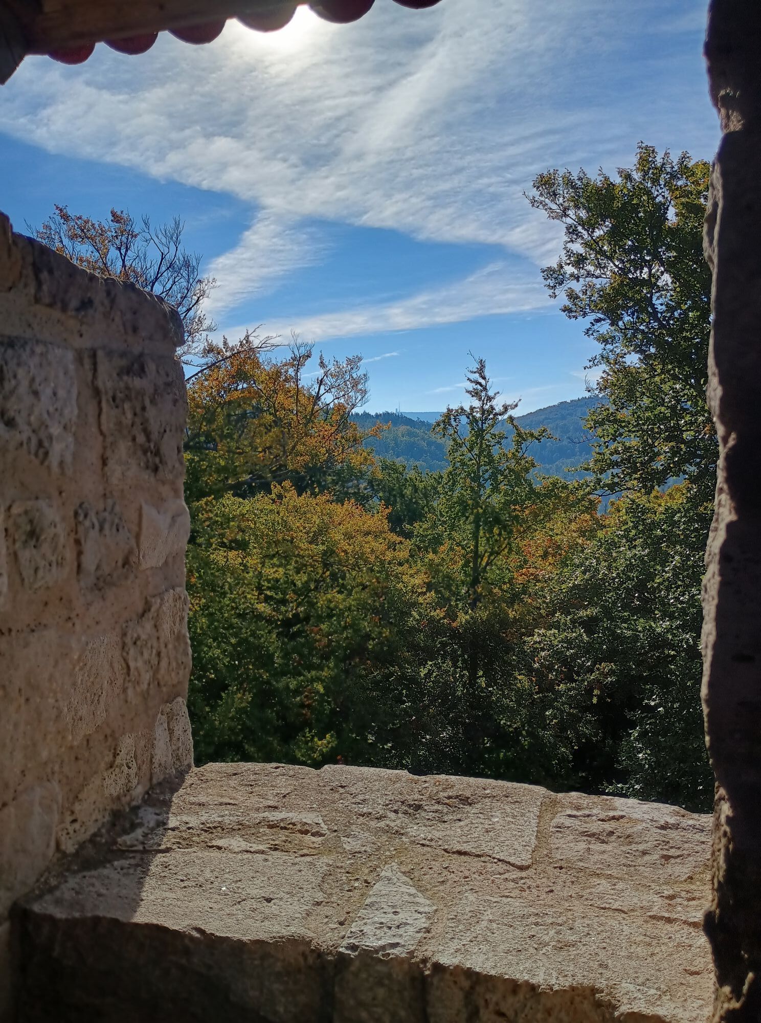
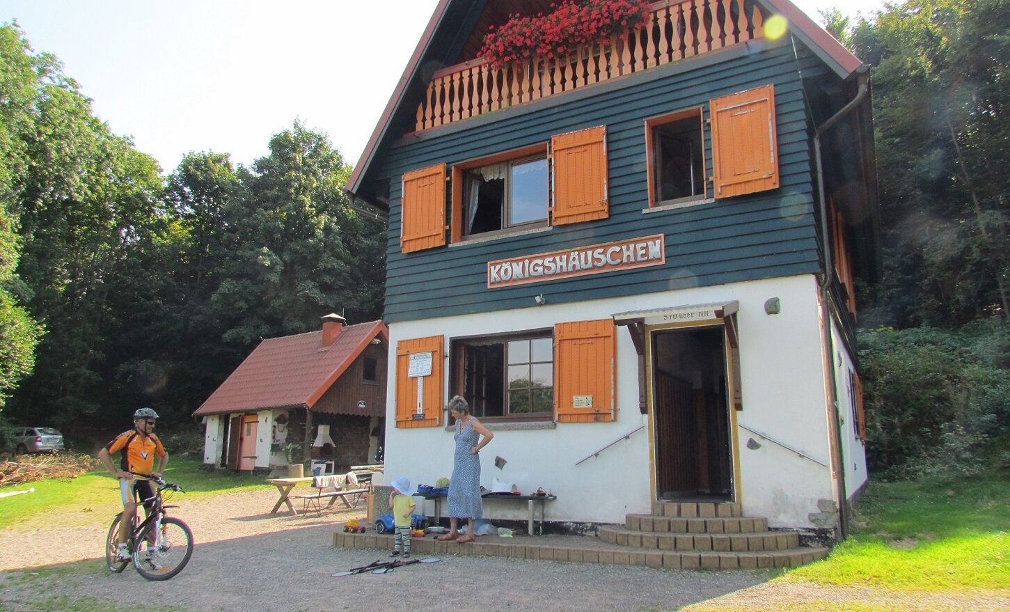
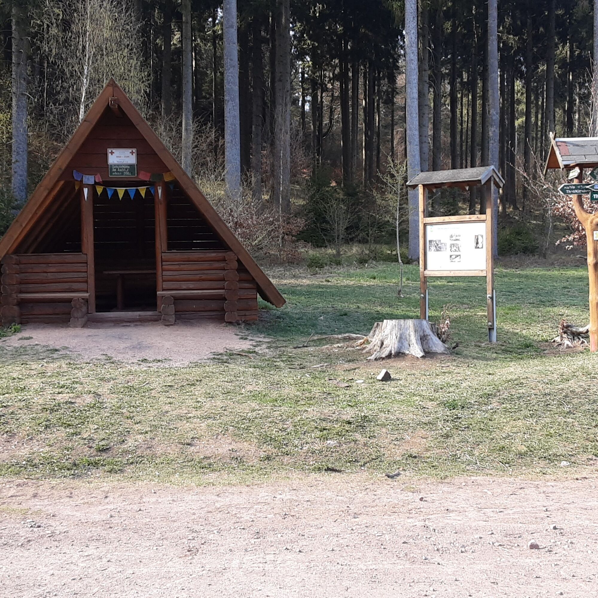
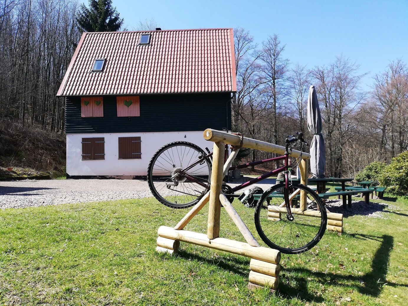
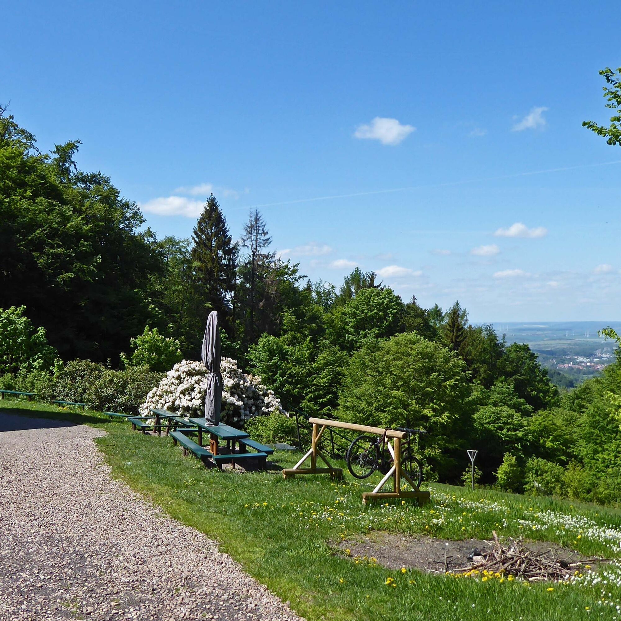
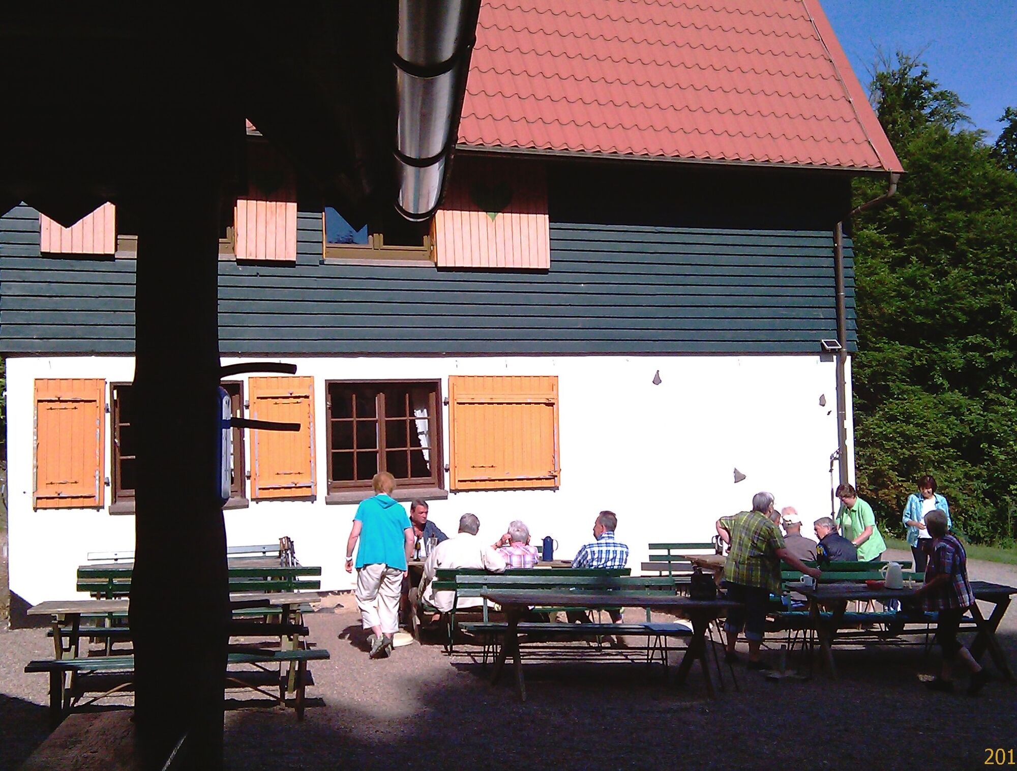
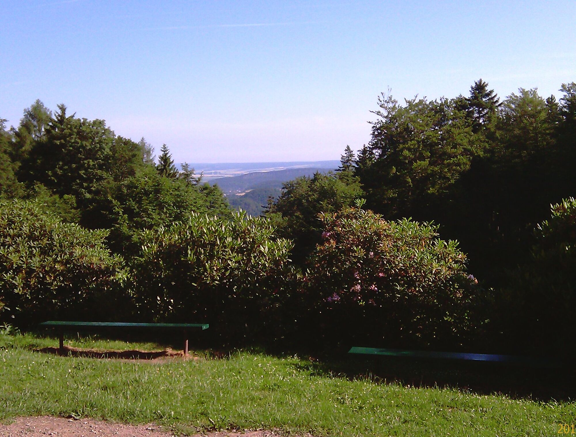
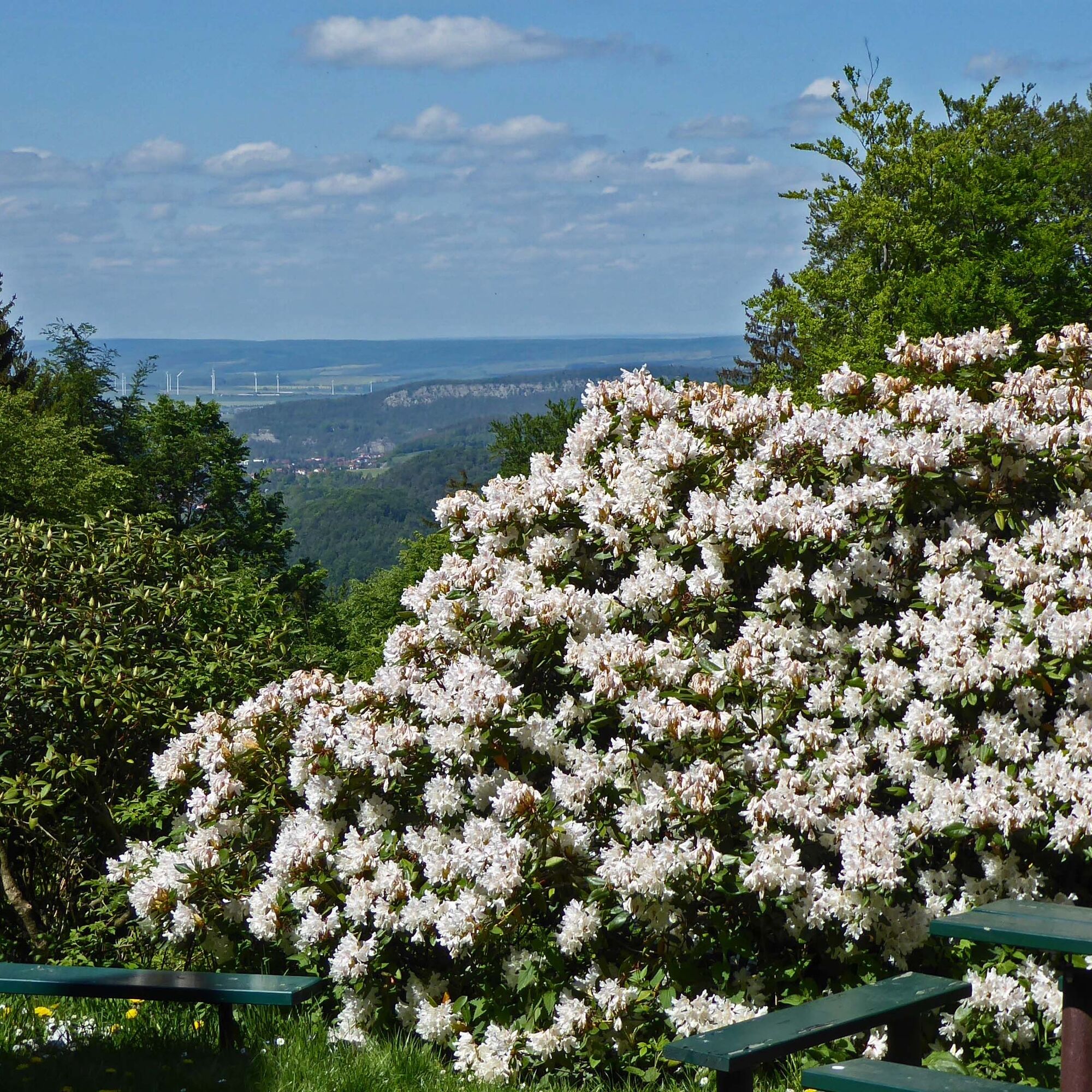
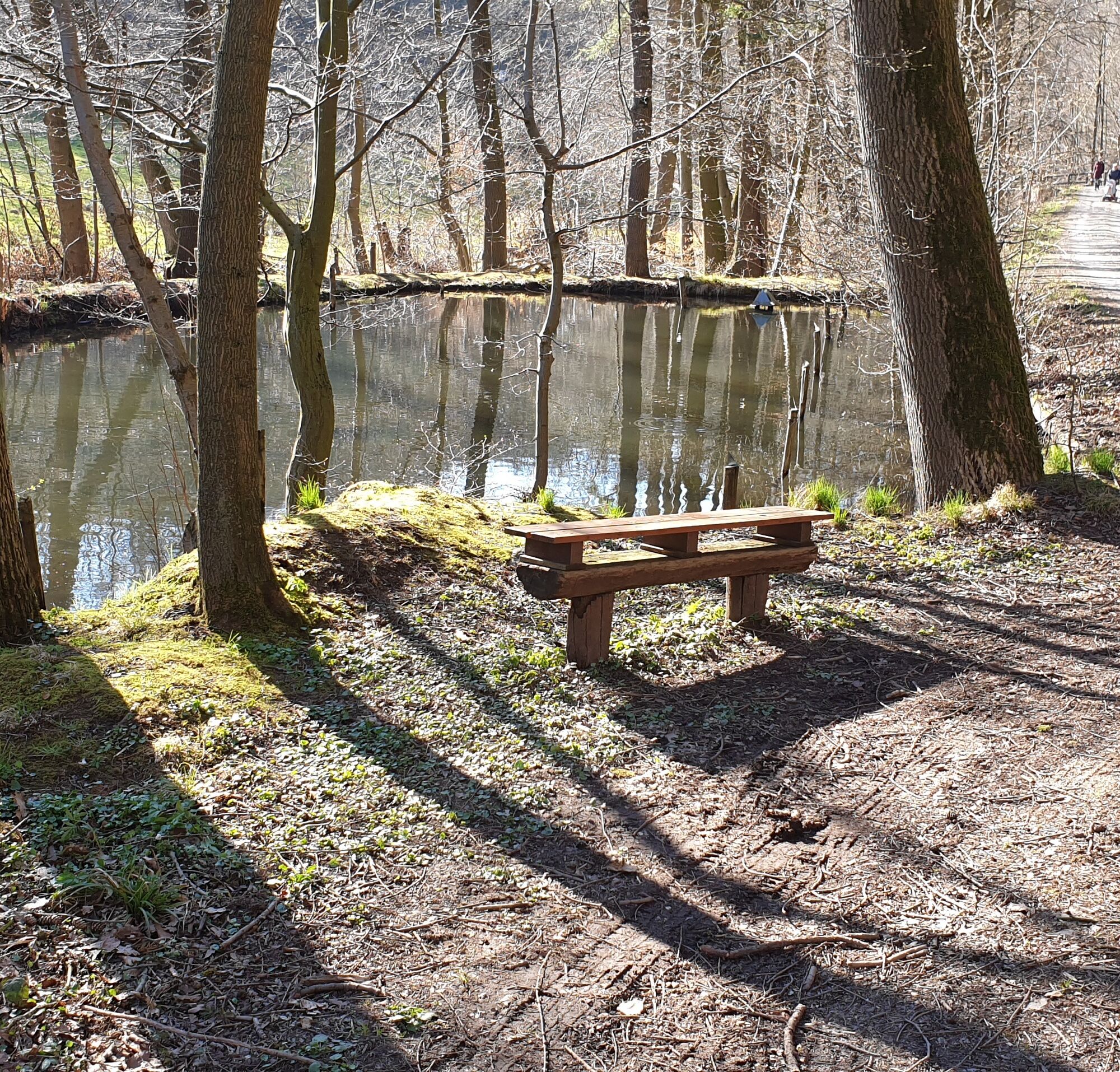
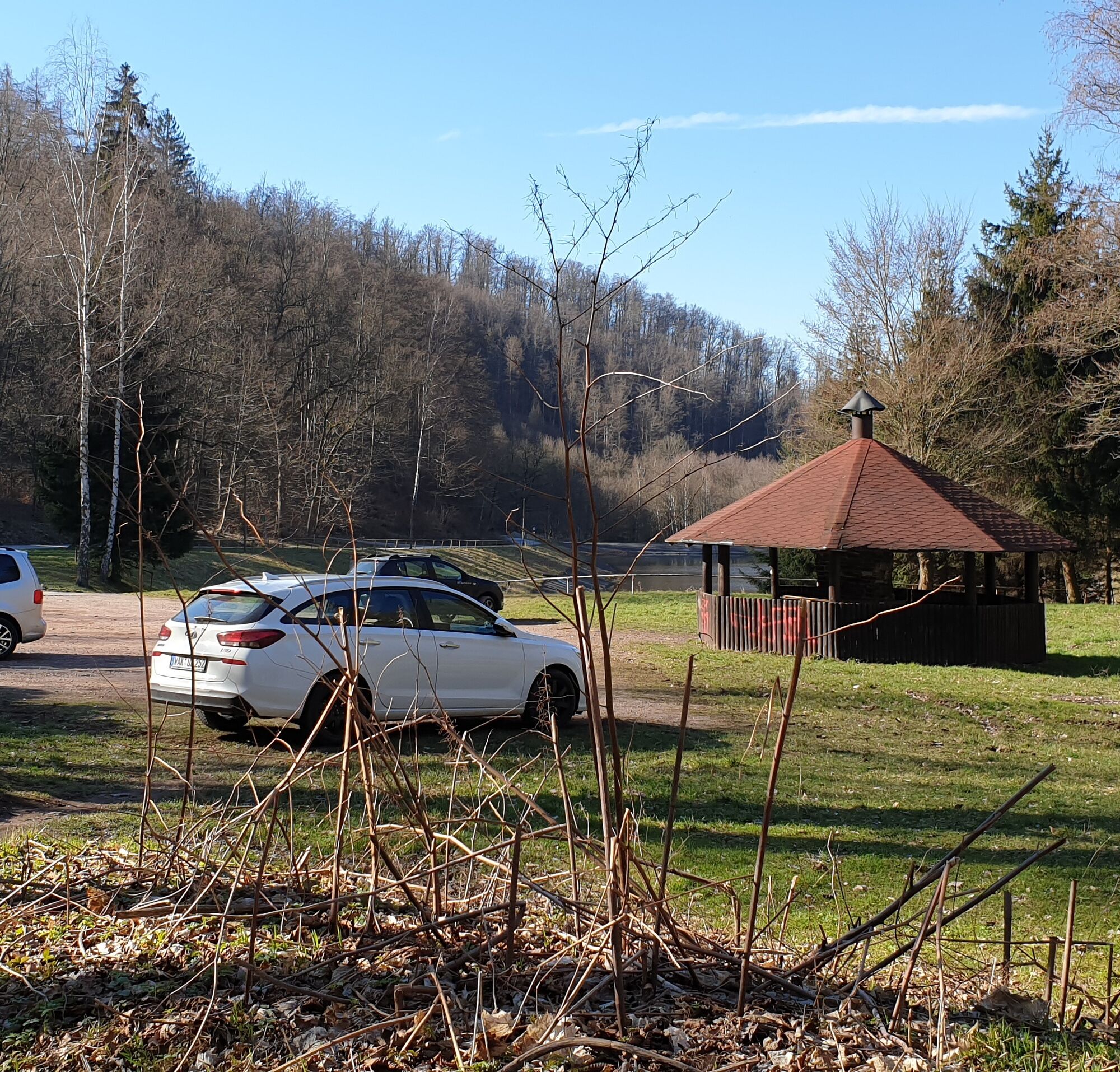
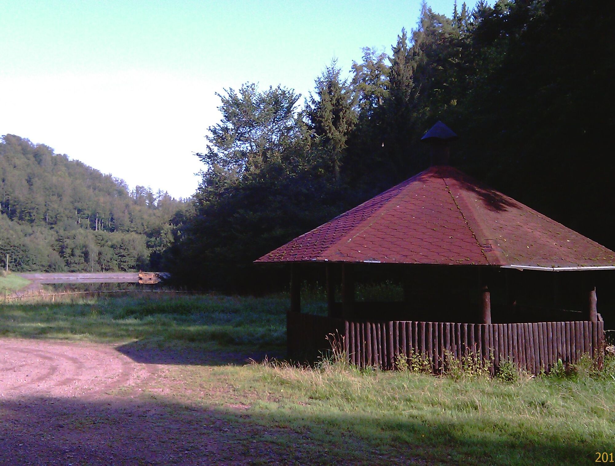
From here the path leads along Georoute 9 to Königshäuschen. The hiking hut is run by the "Hiking and Mountaineering" division of TSG Ruhla e.V. and is open from April to October from Friday to Sunday as well as in December on weekends and public holidays. After a rest with a beautiful view to the Hörsel mountains, walk on about 100m further and turn left at the next crossing towards Mittelberger Grund. The path leads partly steep downhill to Risch's pond. Anyone who wants can make the last rest here at a covered seating area, then return to the starting point of the hike "Thal reservoir" via a well-developed gravel path along the Thalbach.
This circular hike of about 8 km can be extended to 12 km. To do this, follow the signs "Meisenstein" from Königshäuschen. The trail marking is also the yellow cross on white background.
Yes
Yes
Binoculars, sturdy footwear, provisions
Coming from the A4 take exit 40a (Eisenach-East) and continue on the B84 towards Stockhausen. Take the Eisenach-Eaststadt ramp and follow the B88 towards Wutha. Continue on the B88 to Thal.
From the south you reach Ruhla via the A71 exit Meiningen North, continue on the B19 to the exit Bad Liebenstein at the current end of the expansion. Follow the signs Bad Liebenstein, Ruhla via the Rennsteig. Continue on L 2119 towards Thal.
By bus to Thal/ Eiche from there turn into Seebacher Straße - at the crest turn left into the street "Am Rögis", after 50m turn right over the Rögispromenade to the Thal reservoir.
Route plans: 140 Eisenach - Seebach - Ruhla - Bad Liebenstein or 142 Eisenach - Seebach - Ruhla - small Inselsberg - Bad Tabarz
Ruhla OT Thal, Am Saurasen
Ruhla OT Thal - Reservoir, Am Saurasen - recommended start of the circular hike
Ruhla OT Thal - Old Forester's House, Dorfstraße 1
Ruhla - Kindergarten Krümmespatzen, Wintersteiner Straße – from there follow the signs to Königshäuschen for 1 km to the Aschhof crossroads, where you can start the circular hike in both directions.
The viewpoint "Tempelchen" with a view of the upper part of Thal is a beautiful photo motif.
The hiking hut Königshäuschen is the only refreshment option on the route.
Popular tours in the neighbourhood
- 5.0
EA1 - Circular route - Gorge tour near Eisenach - Thuringian Forest
mediumHiking9.68 km - 4.6
IVV PW + GTW "In Luther's footsteps - Luther, dragons, landgraves, rose miracle..."
mediumHiking15.8 km - 4.3
Summit and panoramic route - Route 1 - Bad Tabarz
mediumHiking10.9 km Wartburg und Drachenschlucht
mediumHiking15.1 km- 3.5
EA2 - circular hiking route - "The Beauties of Eisenach" - Thuringian Forest
mediumHiking9.81 km - 4.5
Circular hike - Legendary Hörselberge - Great Hörselberg near Eisenach - Thuringian Forest
mediumHiking10.6 km - 4.7
Hiking - "Rennsteig-Leiter Eisenach" Thuringian Forest
mediumHiking3.58 km - 3.7
EISENACH | Drachenschlucht - Wartburg
lightHiking13.0 km - 4.0
Circular route - Spießberghaus - Friedrichroda - Thuringian Forest
mediumHiking10.7 km - 3.2
Von Friedrichroda zum großen Inselsberg
mediumHiking22.4 km
Hiking & Tracking


Don't miss out on offers and inspiration for your next holiday
Your e-mail address has been added to the mailing list.