


Level of difficulty: 1


The DSV Nordic Active Walking Center Schmalkalden - Floh-Seligenthal is one of the few centers of its kind in all of Thuringia. It offers not only scenic walking paths but also wonderful views and some...
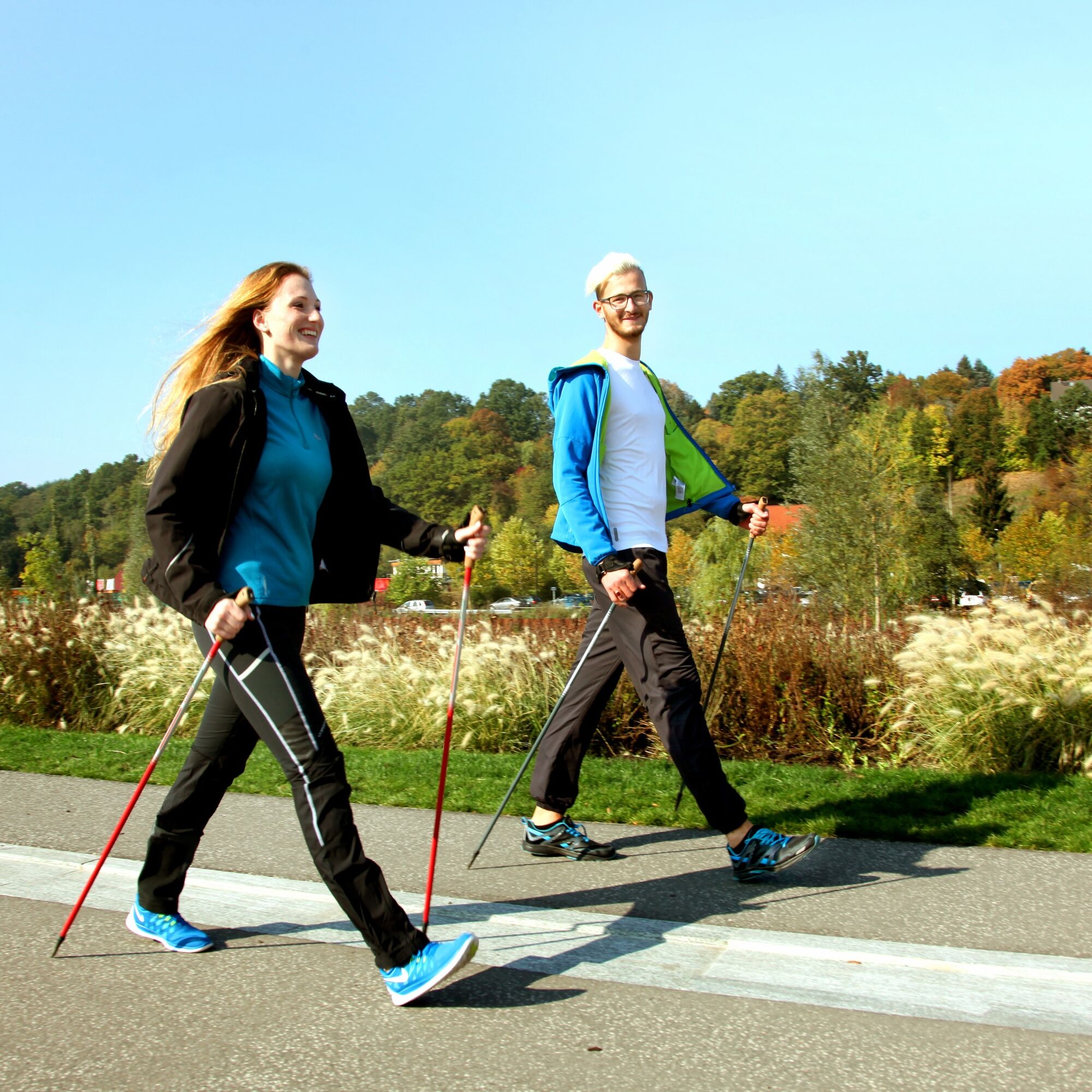
The DSV Nordic Active Walking Center Schmalkalden - Floh-Seligenthal is one of the few centers of its kind in all of Thuringia. It offers not only scenic walking paths but also wonderful views and some interesting details. For the Nordic Active Walking Center, two varied routes in Schmalkalden and Floh-Seligenthal were selected according to DSV criteria. In addition to the Schmalkalden Mittelberg and Ehrental routes, the asphalted Mommelstein Cycle Path serves as a connection between the two towns and offers an optimal training route for all Nordic skating or Nordic skiing enthusiasts.

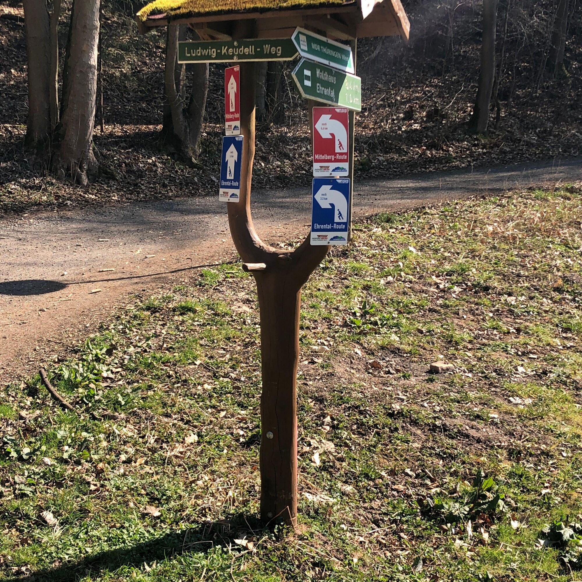


Crossing Mommelstein Cycle Path – crossing Waldhausstraße – right on Promenadenweg Pfaffenbach – crossing the street at the Ehrental junction – left on Ehrental forest path – ponds in Ehrental – red deer enclosure and back to the starting point
Yes
Yes
sturdy footwear
rainwear
first-aid kit
Nordic Walking poles
The paths are narrow and not continuously paved, so caution is advised when walking. Currently, there may still be restrictions in Ehrental due to fallen trees; alternatively, the road can be used on this section.
B19 exit Schmalkalden
Follow the parking guidance system from the direction of Floh-Seligenthal or Meiningen to the parking lot Sports hall
Bus stop Teichstraße with the bus line 41from Schmalkalden bus station
Parking lot Sports hall, Teichstraße
1
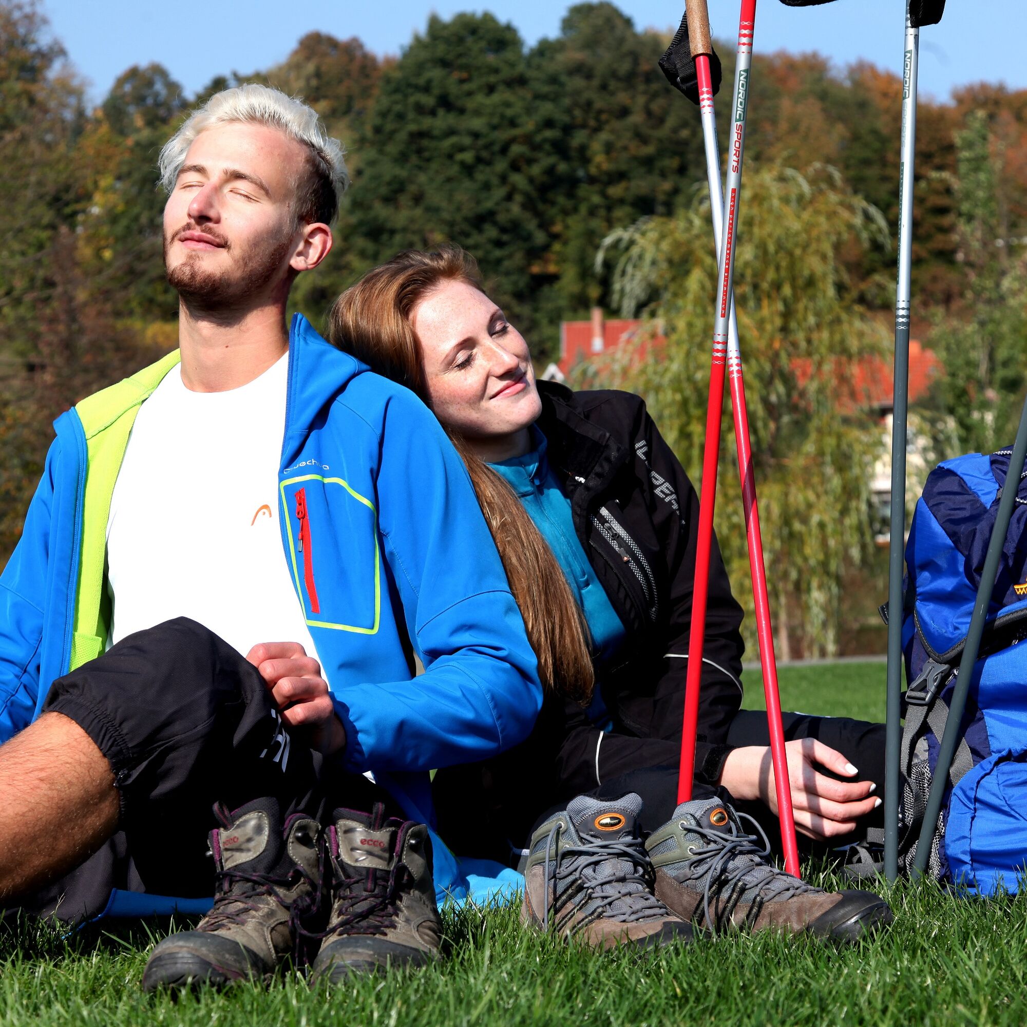
Be sure to take a short rest at the wildlife enclosure in Ehrental and observe the red deer up close.
Popular tours in the neighbourhood
- 4.3
Summit and panoramic route - Route 1 - Bad Tabarz
mediumHiking10.9 km - 3.8
Wanderung zum Spitterfall
mediumHiking14.6 km - 4.0
Circular hiking route "Oberschönauer Felsenwanderung" - Steinbach-Hallenberg - Thuringian Forest
heavyHiking12.0 km - 4.0
Circular route - Spießberghaus - Friedrichroda - Thuringian Forest
mediumHiking10.7 km - 3.2
Von Friedrichroda zum großen Inselsberg
mediumHiking22.4 km - 4.4
Circular hike "Old Tambach Dam", Tambach-D., Thuringian Forest
mediumHiking9.54 km - 4.0
Circular Hike - "Culture-Nature" - Bad Liebenstein - Thuringian Forest
mediumHiking10.8 km - 3.5
Backofenloch circular route - route 6 - Bad Tabarz
mediumHiking8.95 km Circular hiking route - "Adventure route around Trusetal" - Thuringian Forest
mediumHiking5.09 kmAussichtstour Bad Tabarz
mediumHiking12.5 km
Hiking & Tracking


Don't miss out on offers and inspiration for your next holiday
Your e-mail address has been added to the mailing list.