


Level of difficulty: 2


Photos from our users

 © Jeannette EtterliCreated on 07.09.2025
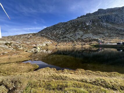 © Jeannette EtterliCreated on 07.09.2025
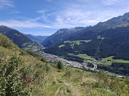
 © Daniel schwagerCreated on 06.09.2025
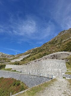 © Daniel schwagerCreated on 06.09.2025
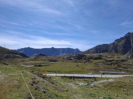 © Daniel schwagerCreated on 06.09.2025
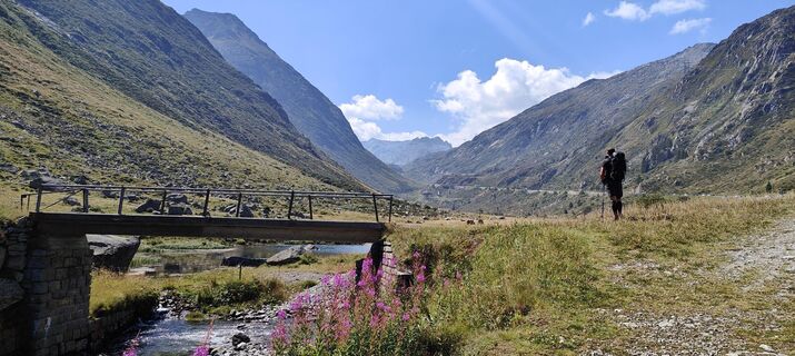
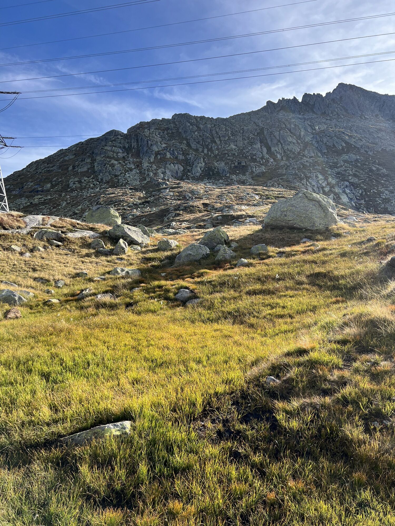
 © Dunja HahnCreated on 17.08.2025
 © Dunja HahnCreated on 17.08.2025
 © Dunja HahnCreated on 17.08.2025
 © Dunja HahnCreated on 17.08.2025
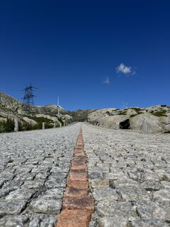
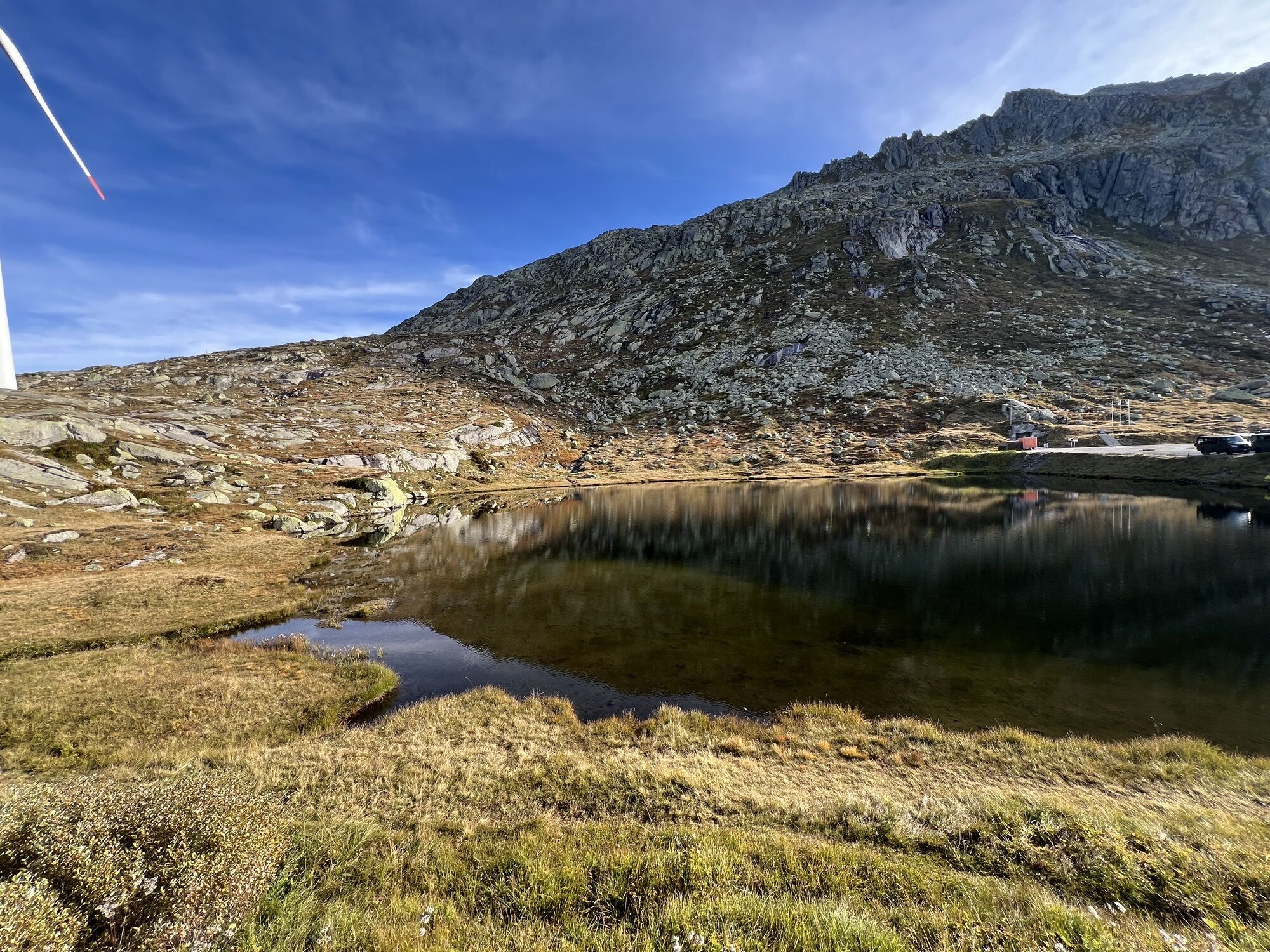
 © Reto GrinerCreated on 18.07.2025
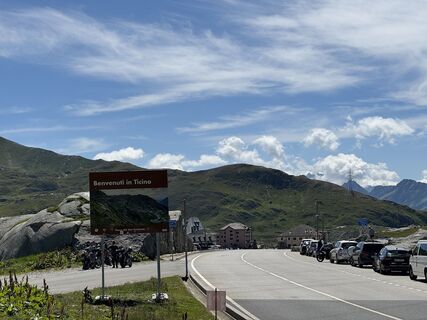 © Reto GrinerCreated on 18.07.2025
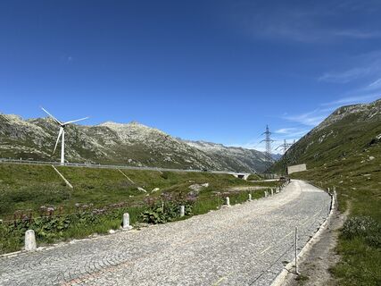 © Reto GrinerCreated on 18.07.2025
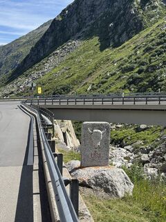 © Reto GrinerCreated on 18.07.2025
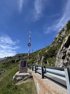 © Reto GrinerCreated on 18.07.2025
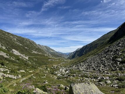 © Reto GrinerCreated on 18.07.2025
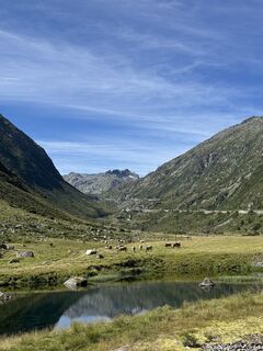 © Reto GrinerCreated on 18.07.2025
 © Reto GrinerCreated on 18.07.2025
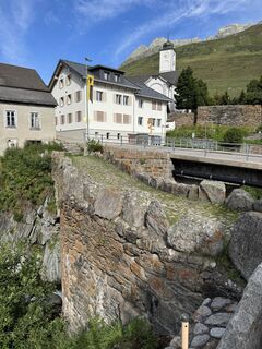 © Reto GrinerCreated on 18.07.2025
 © Reto GrinerCreated on 18.07.2025
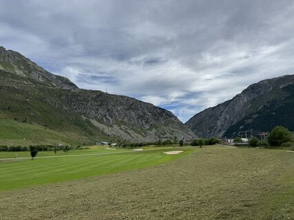 © Reto GrinerCreated on 18.07.2025
 © Sally KundertCreated on 18.06.2025


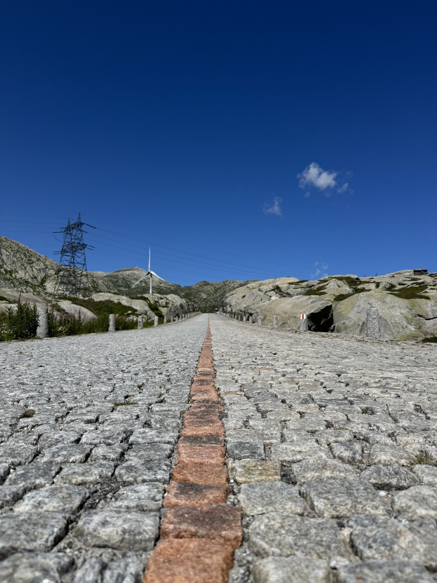


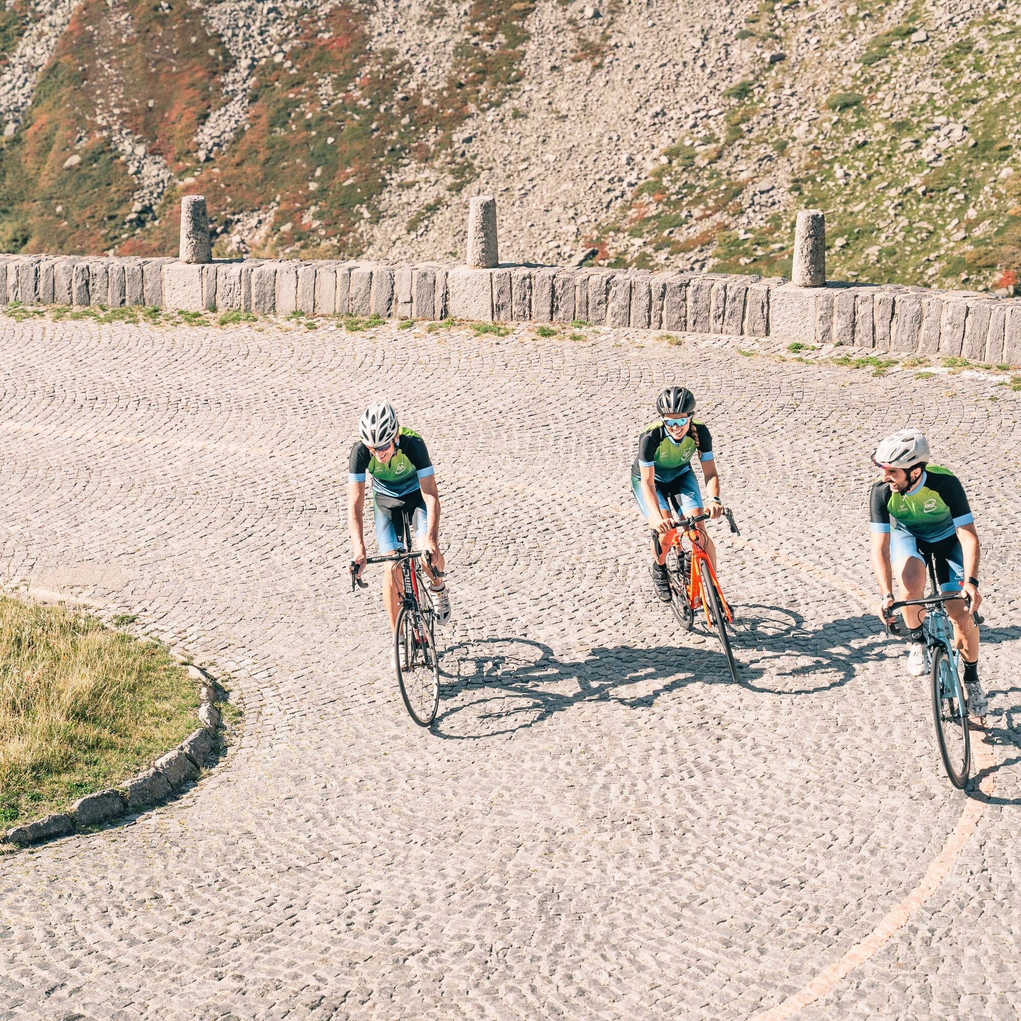
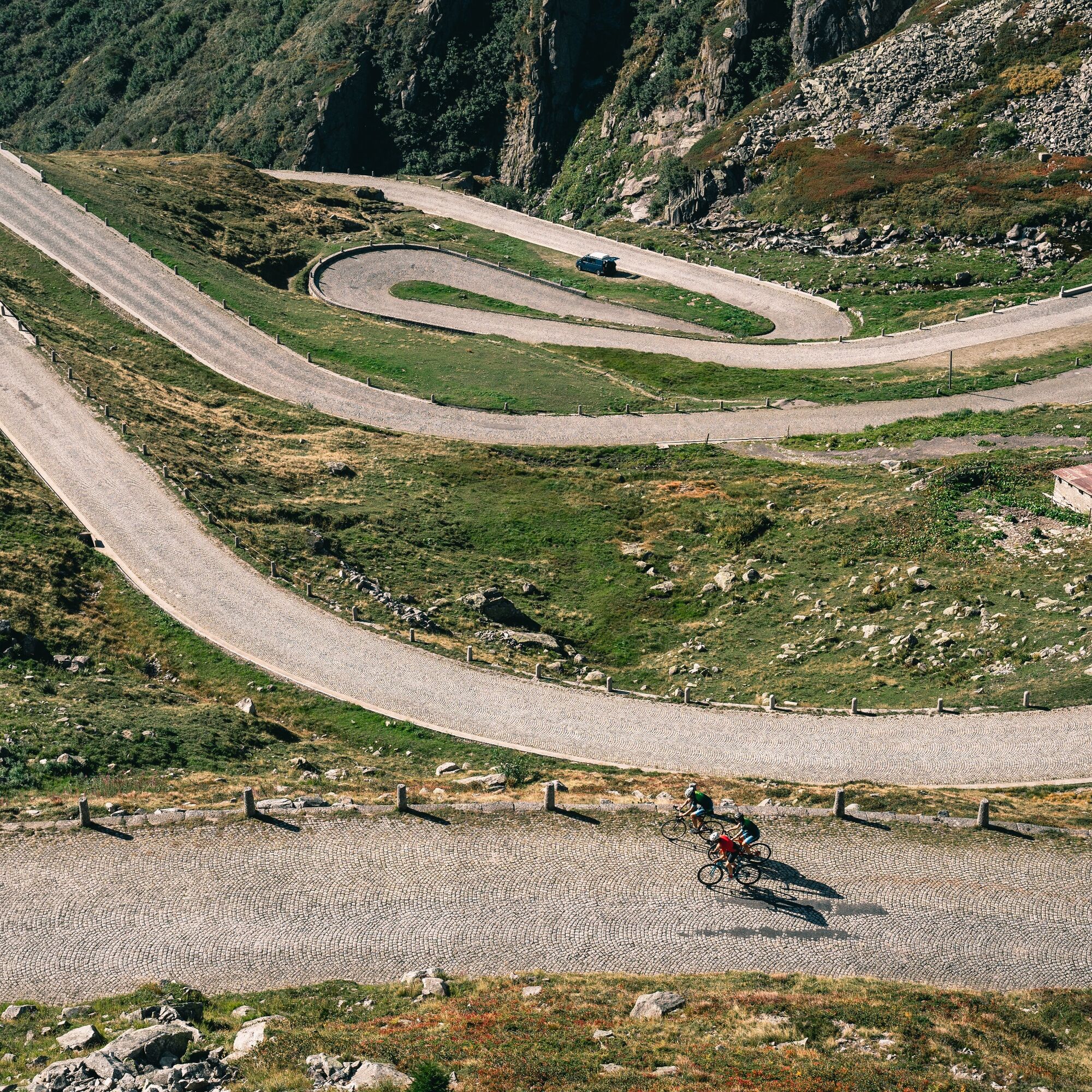
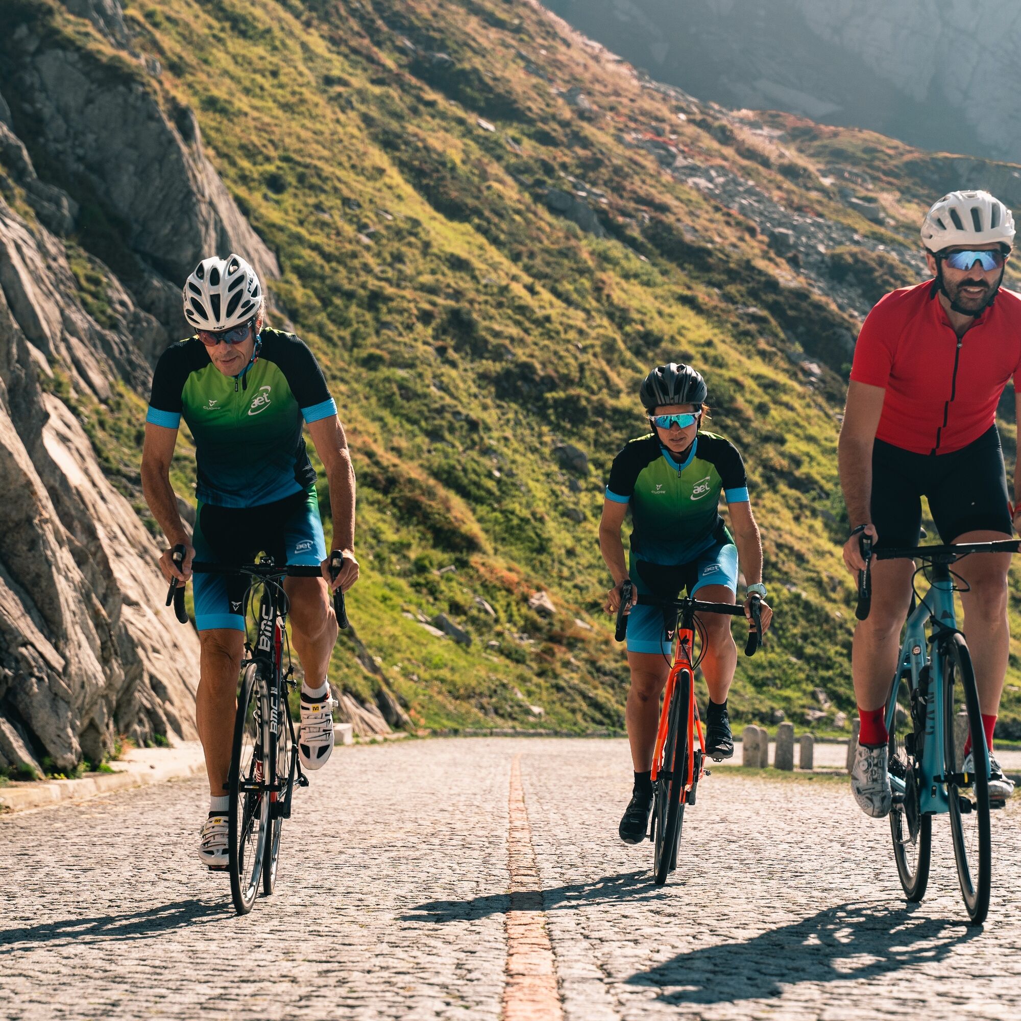
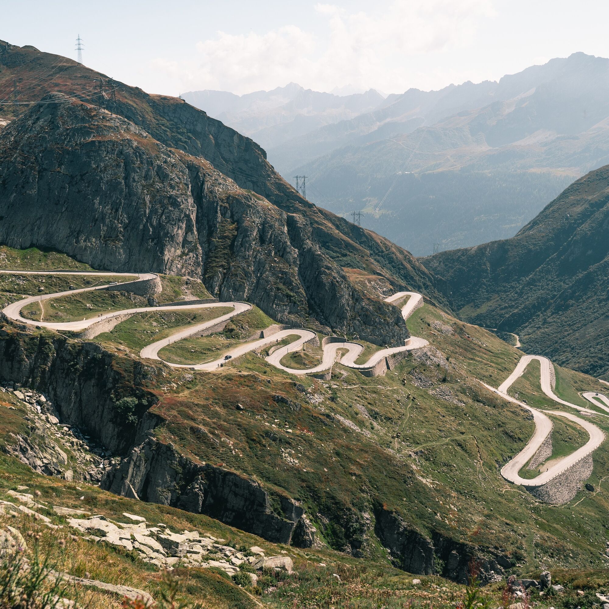
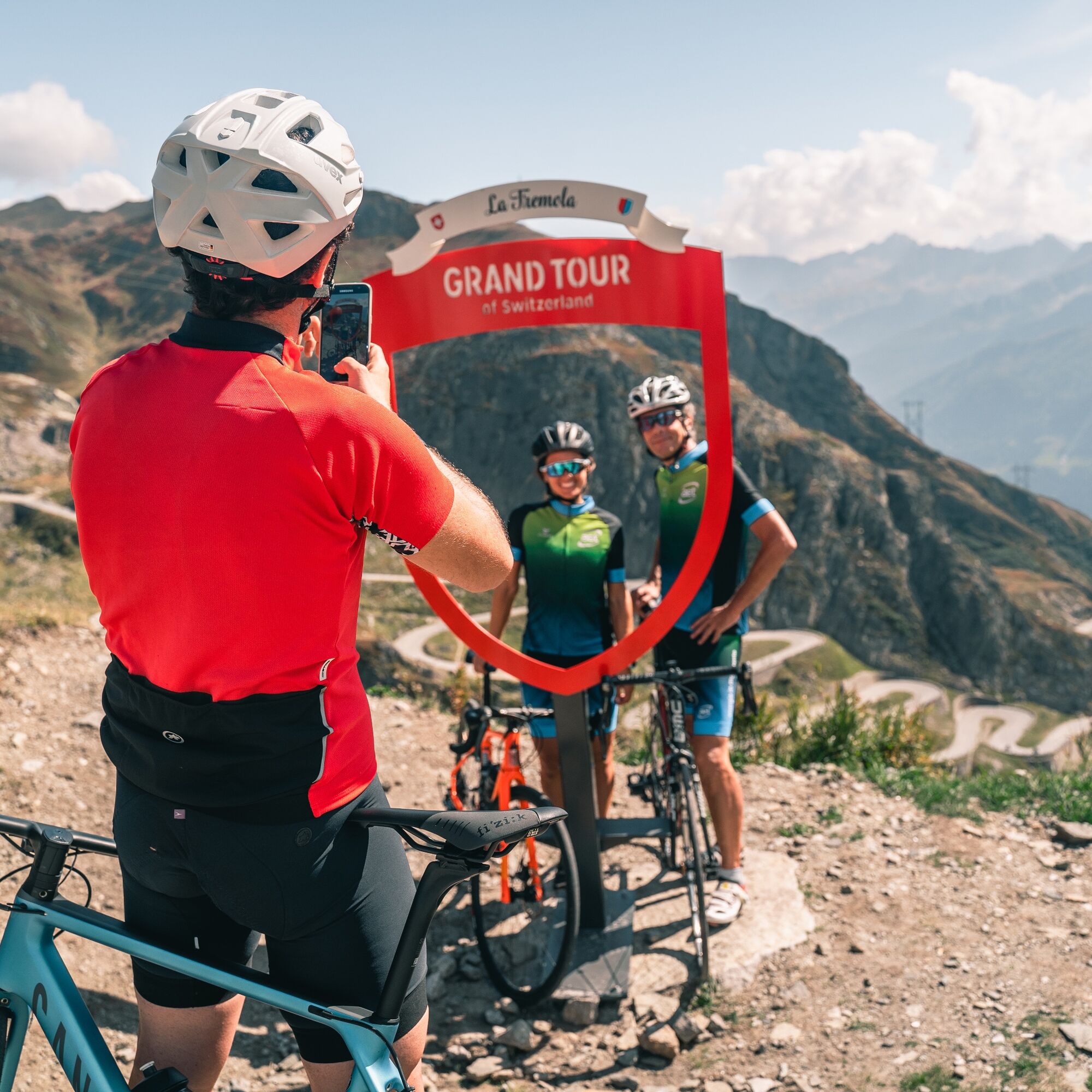
From Airolo the route takes you through the Tremola Valley, where the namesake cobbled road winds through 37 hairpin bends over about 900 meters of elevation gain. It was built in 1830 as a commercial...
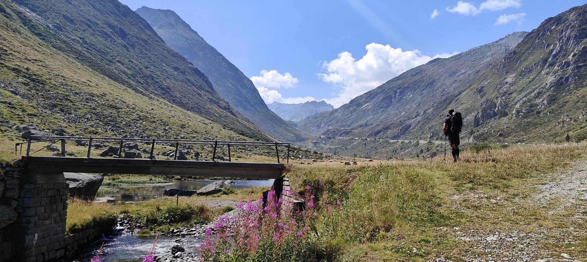
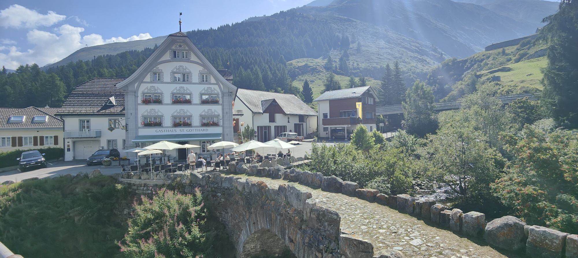
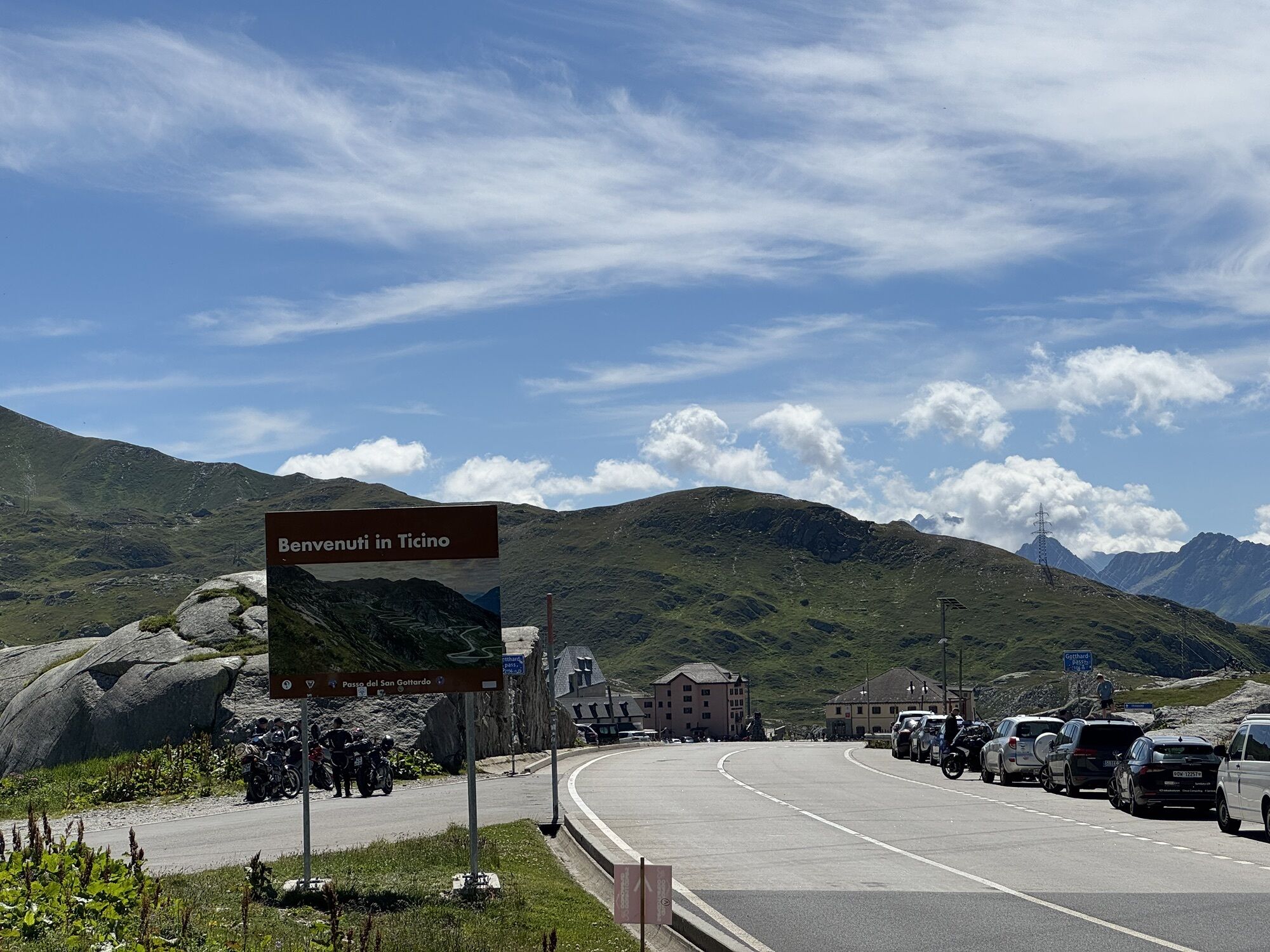
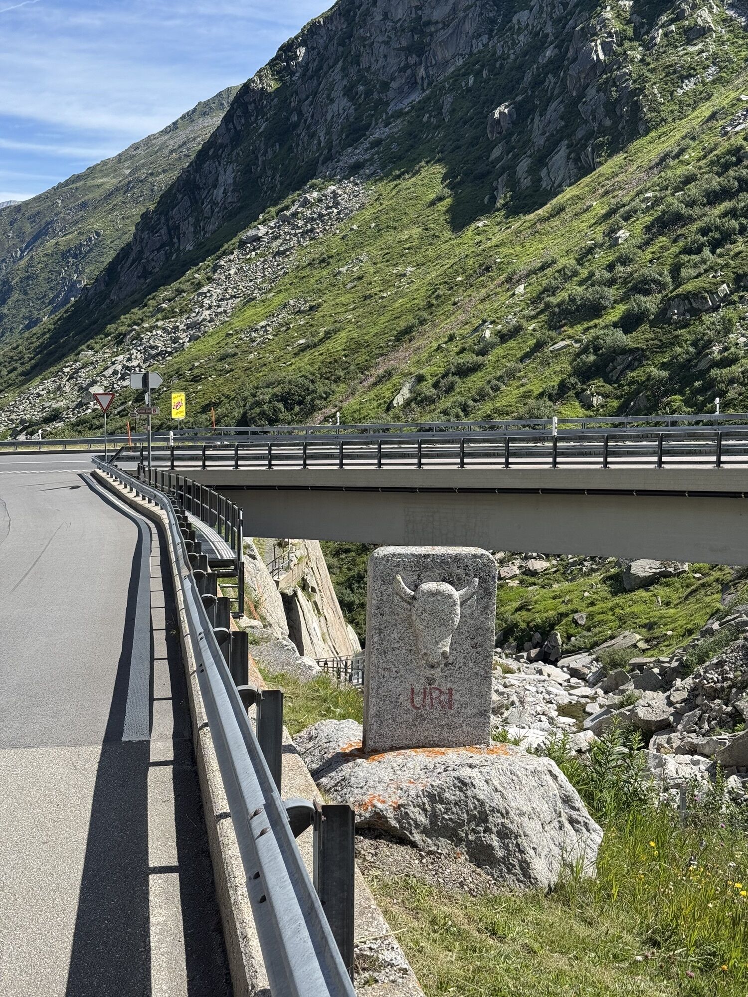
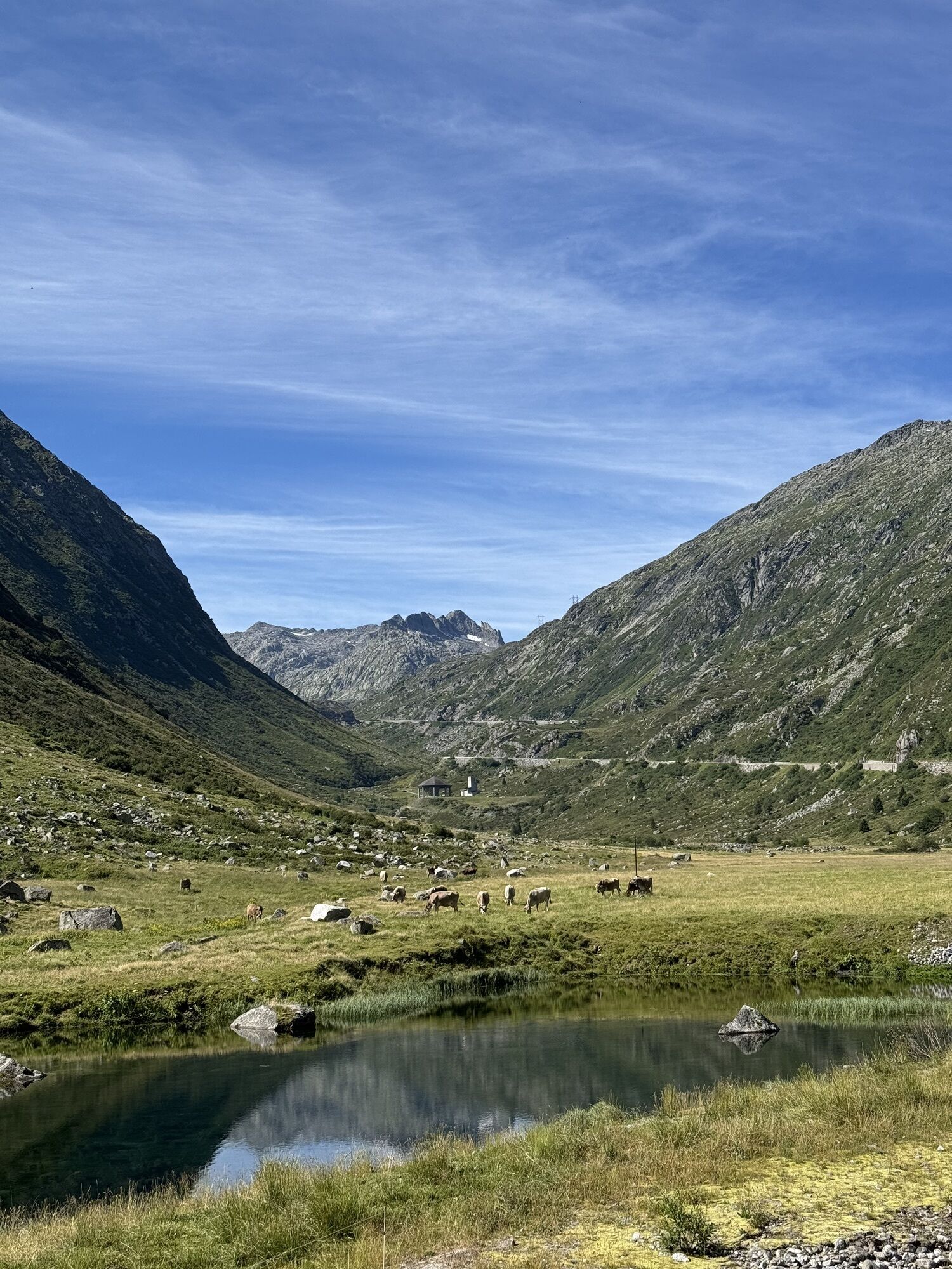
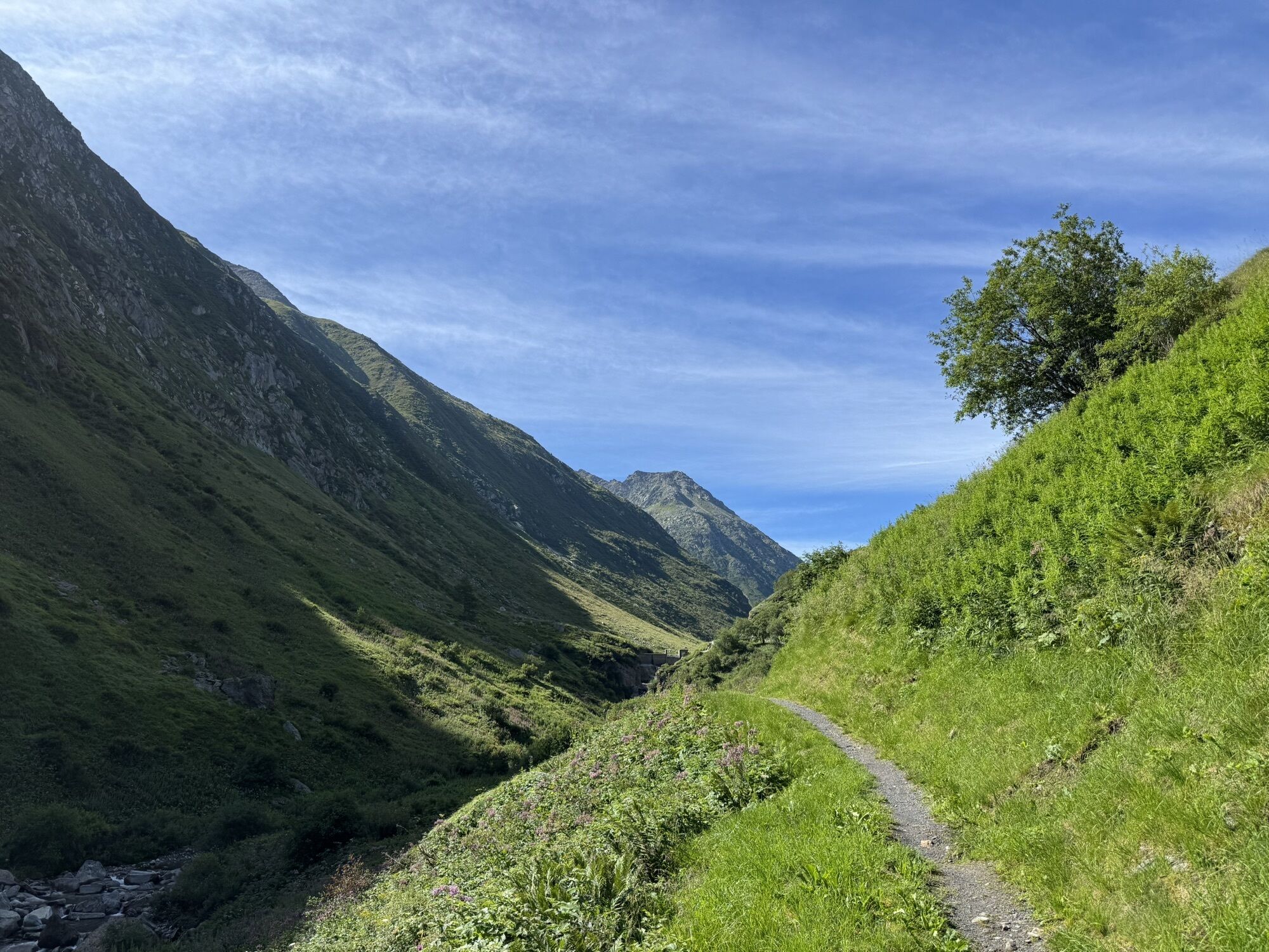
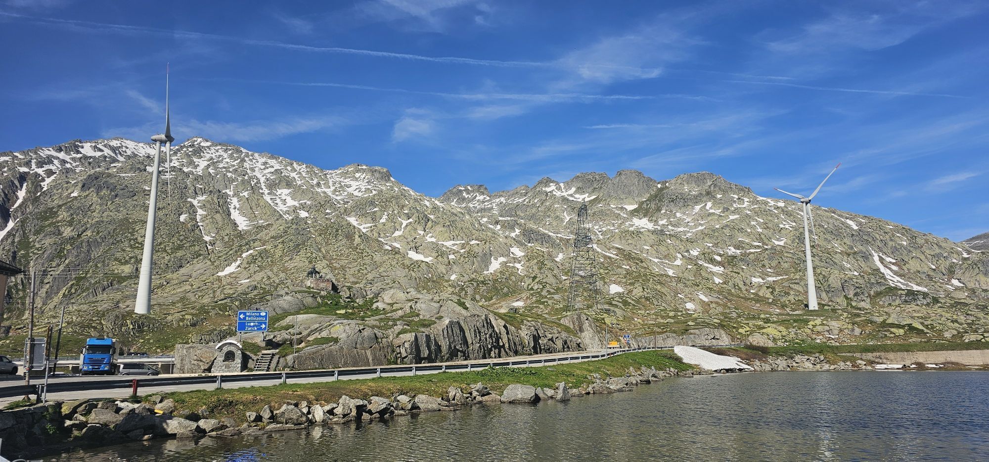
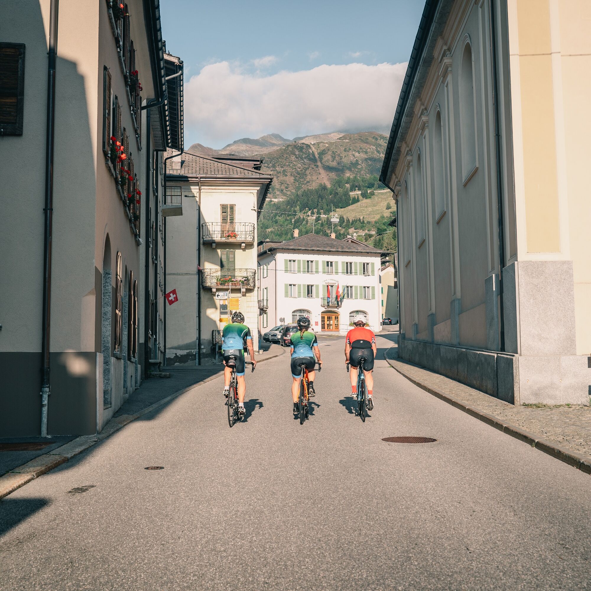
From Airolo the route takes you through the Tremola Valley, where the namesake cobbled road winds through 37 hairpin bends over about 900 meters of elevation gain. It was built in 1830 as a commercial road for carriages. At that time the Tremola was a masterpiece of engineering, set in the sparse alpine landscape. At the San Gottardo Pass, the National Museum of the San Gottardo provides information about the hard struggle between man and nature, illustrating the construction and maintenance of the mountain passes and historical forms of transport. The San Gottardo Chapel, built between 1160 and 1176, is also worth a visit. Take advantage of your stop to refresh yourself at the restaurant before continuing down through the Urserntal. The Urserntal is one of the most majestic alpine valleys in Switzerland. The final part leads along the Reuss river from Hospental to Andermatt.

This route runs on roads open to motorized traffic, obey the traffic rules: www.prudenza-precedenza.ch
2
Follow the bicycle logo shown on the red signs: North-South Route no. 3
Popular tours in the neighbourhood
Furka Pass – Rhone Glacier
lightHiking3,59 kmRheinquelle - Lai da Tuma
mediumHiking5,67 kmVal Piora lakes route
mediumHiking15,8 km- 2,0
Circular hike Furka Pass-Tällistock
mediumHiking11,0 km - 5,0
Sidelenhütte
lightHiking3,39 km - 1,0
Lutersee
mediumHiking6,11 km - 4,5
Lakes Orsino, Orsirora and Valletta Route
Hiking12,8 km Lago del Naret-Sasso Nero-Lago del Naret
mediumHiking8,55 km- 5,0
Lukmanier Pass - Cadlimo Hut
mediumHiking9,80 km Realp - Schafberg
mediumSki tour5,27 km

Hiking & Tracking


Don't miss out on offers and inspiration for your next holiday
Your e-mail address has been added to the mailing list.