Weitwanderweg 9, Donnersbachwald - Erzherzog Johann Hütte
Hiking
Navigate
Navigate
Get this tour on your mobile
Weitwanderweg 9, Donnersbachwald - Erzherzog Johann Hütte
Hiking
21,08
km
Scan the QR code and start navigation in the bergfex app

Hiking & Tracking


Distance
21,08
km
Duration
05:19
h
Ascent
1.351
m
Sea level
966 -
1.882
m
Track download
Weitwanderweg 9, Donnersbachwald - Erzherzog Johann Hütte
Hiking
21,08
km


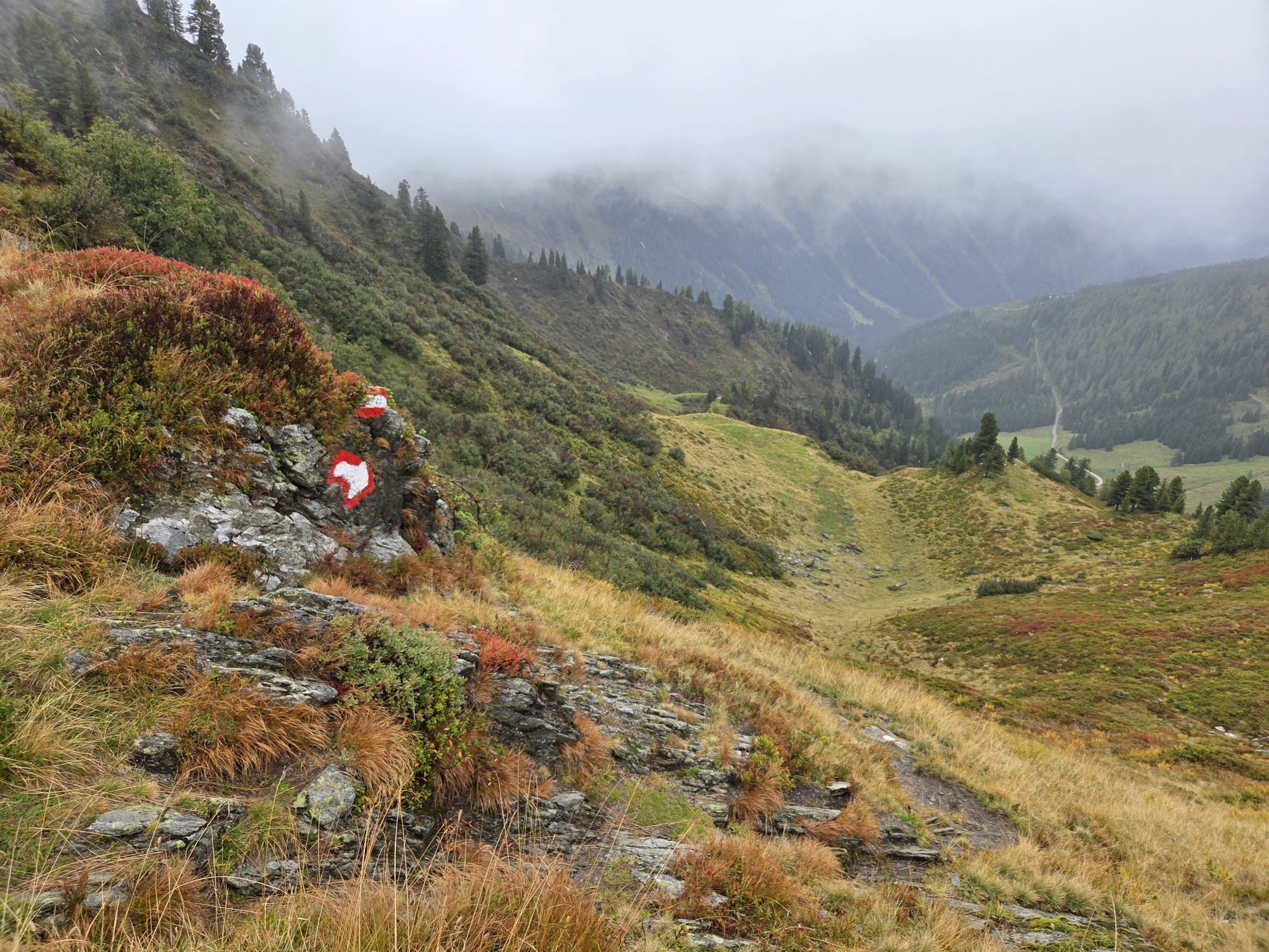
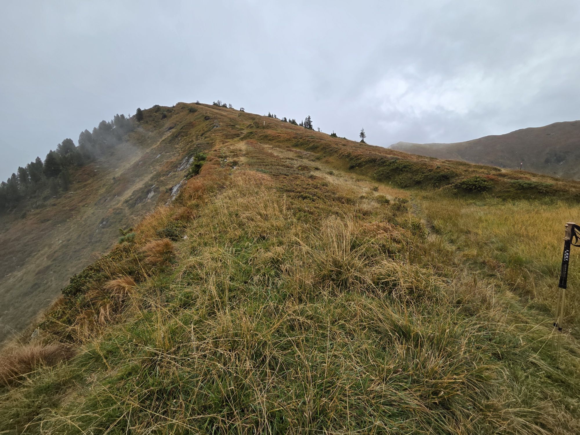
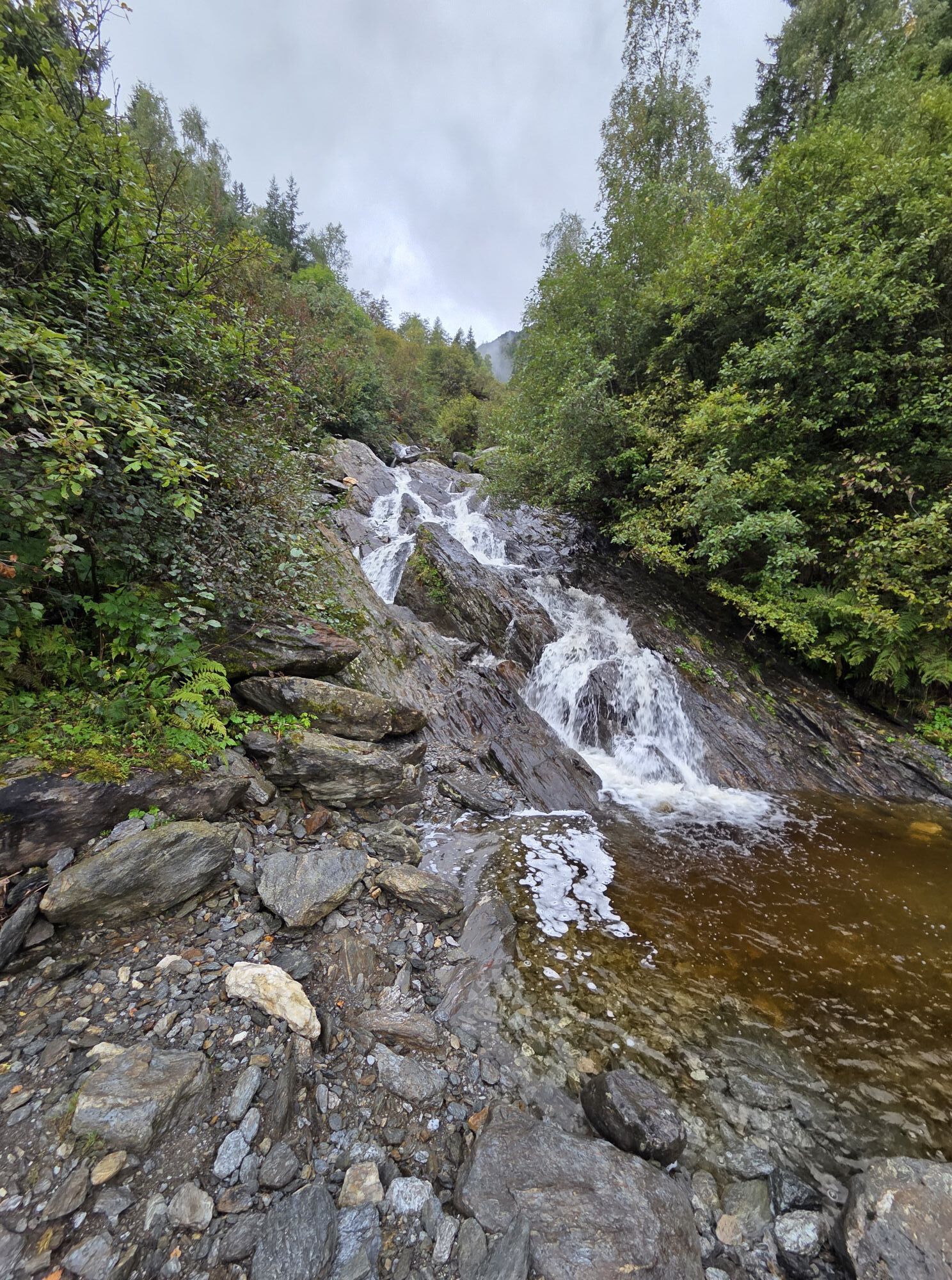
Photos from our users
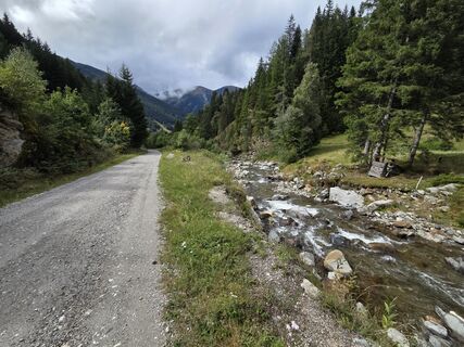
 © Thomas HillingerCreated on 14.09.2025
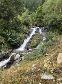 © Thomas HillingerCreated on 14.09.2025
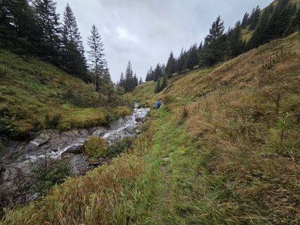 © Thomas HillingerCreated on 14.09.2025
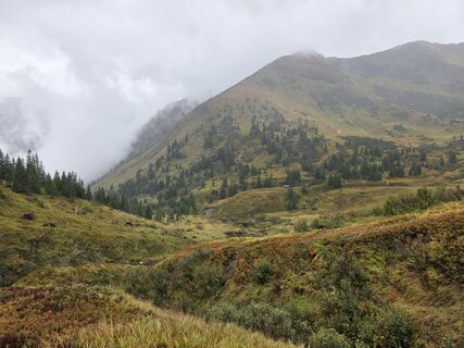 © Thomas HillingerCreated on 14.09.2025
 © Thomas HillingerCreated on 14.09.2025
 © Thomas HillingerCreated on 14.09.2025
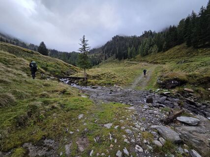 © Thomas HillingerCreated on 14.09.2025
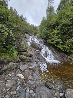 © Thomas HillingerCreated on 14.09.2025


Route
Donnersbachwald
(966 m)
Village
0,0 km
Mörsbachalm
(1.302 m)
Corridor/terrain
3,1 km
Gstemmerscharte
(1.886 m)
Mountain pass
6,2 km
Mößna
(1.021 m)
Settlement
11,5 km
Zum Gamsjäger
(1.127 m)
Restaurant
14,6 km
Sankt Nikolai im Sölktal
(1.127 m)
Village
14,6 km
Erzherzog-Johann-Hütte
(1.490 m)
Shelter
21,1 km
Route
Weitwanderweg 9, Donnersbachwald - Erzherzog Johann Hütte
Hiking
21,08
km
Donnersbachwald
(966 m)
Village
0,0 km
Mörsbachwirt
(1.287 m)
Restaurant
2,9 km
Mörsbachwirt - Theos Hütte
(1.287 m)
Restaurant
3,0 km
Mörsbachalm
(1.302 m)
Corridor/terrain
3,1 km
Hintere Mörsbachalm
(1.482 m)
Corridor/terrain
5,0 km
Gstemmerscharte
(1.886 m)
Mountain pass
6,2 km
Mößna
(1.021 m)
Settlement
11,5 km
Zum Gamsjäger
(1.127 m)
Restaurant
14,6 km
Sankt Nikolai im Sölktal
(1.127 m)
Village
14,6 km
Erzherzog-Johann-Hütte
(1.490 m)
Shelter
21,1 km

Last tracked
3 weeks ago
No reviews yet
Popular tours in the neighbourhood
- 4,6
Deneck
mediumHiking7,52 km - 3,9
Knallstein
heavyHiking19 km - 4,5
Karlspitze - Schreinl ab Planneralm
mediumSki tour9,73 km - 4,8
Talkenschrein
mediumHiking4,22 km - 4,6
Seekarlsee - Karibikfeeling garantiert
mediumThematic route12,1 km - 4,6
Greim
mediumHiking6,12 km - 3,6
Zwieflerseen - Sölkpass
mediumHiking3,81 km - 4,6
Plannerkessel - Hochrettelstein
Hiking6,90 km - 4,2
Gipfeltour zum Knallstein
mediumHiking15,5 km - 4,3
Mölbegg
lightHiking3,31 km
Hiking & Tracking

Over 550.000 tour suggestions, detailed maps and an intuitive route planner make the app a must-have for all nature enthusiasts.

Don't miss out on offers and inspiration for your next holiday
Subscribe to the newsletter
Error
An error has occurred. Please try again.Thank you for your registration
Your e-mail address has been added to the mailing list.
Tours throughout Europe
Austria Switzerland Germany Italy Slovenia France Netherlands Belgium Poland Liechtenstein Czechia Slovakia Spain Croatia Bosnia and Herzegovina Luxembourg Andorra Portugal Iceland United Kingdom Ireland Greece Albania North Macedonia Malta Norway Montenegro Moldova Kosovo Hungary San Marino Romania Estonia Latvia Belarus Cyprus Lithuania Serbia Bulgaria Monaco Denmark Sweden Finland