Rundweg: LKH II-Enzenbach zum Gsollerkogel
light
Navigate
Navigate
Get this tour on your mobile
Rundweg: LKH II-Enzenbach zum Gsollerkogel
light
Hiking
5,06
km
Scan the QR code and start navigation in the bergfex app

Hiking & Tracking


Distance
5,06
km
Duration
01:55
h
Ascent
176
m
Sea level
517 -
650
m
Track download
Rundweg: LKH II-Enzenbach zum Gsollerkogel
light
Hiking
5,06
km


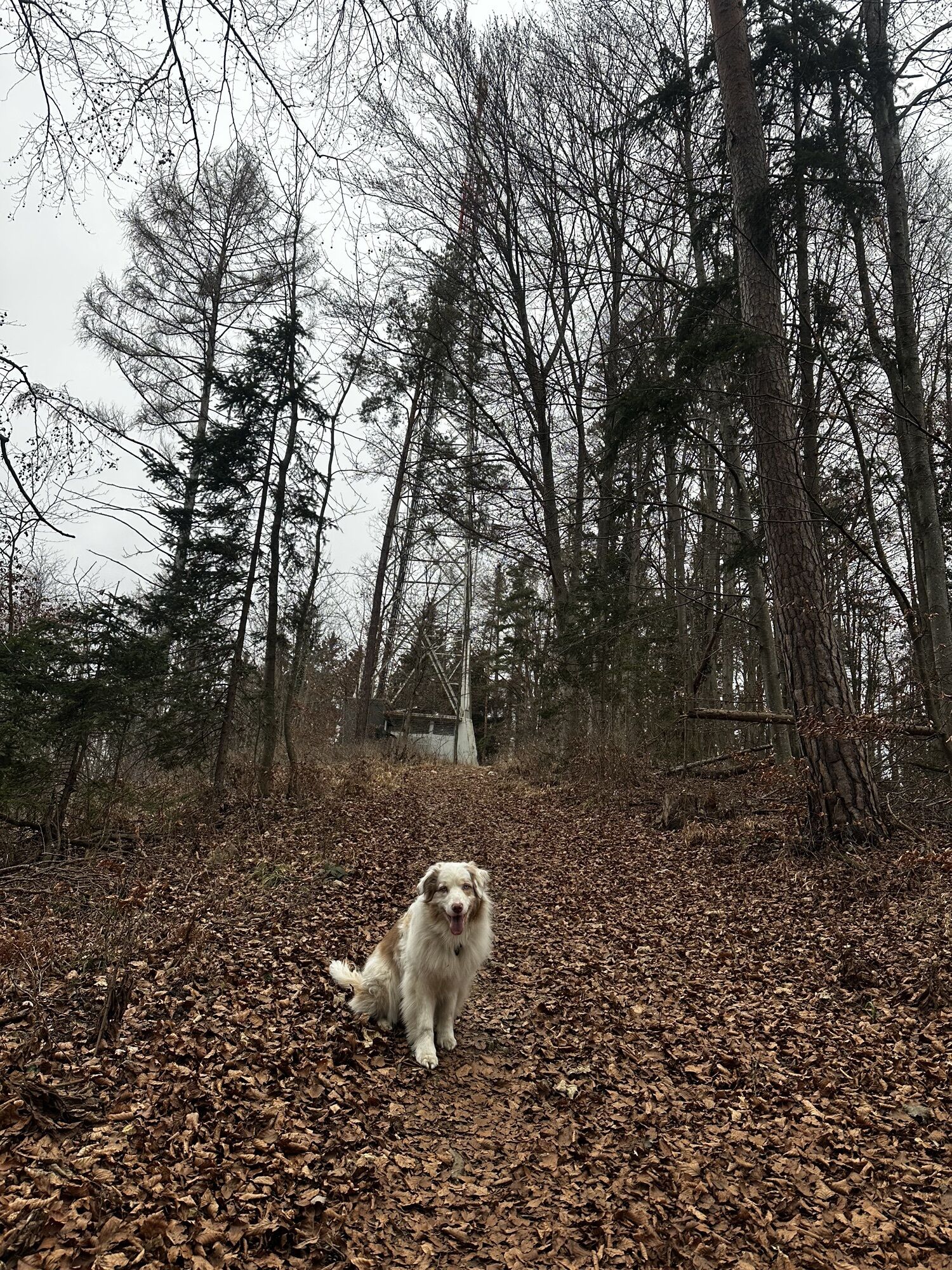
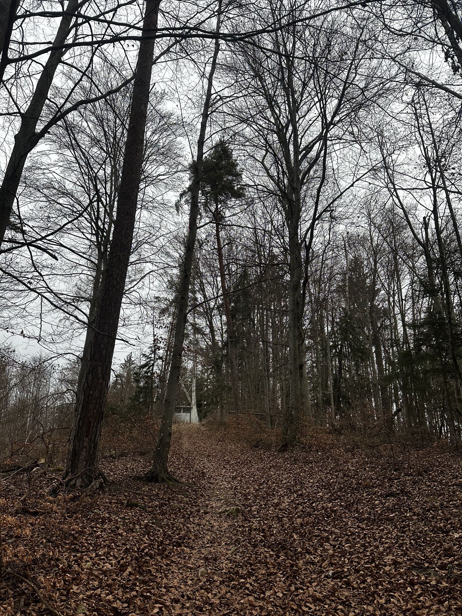
Photos from our users
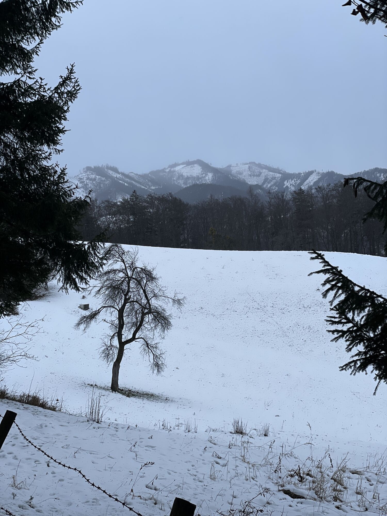
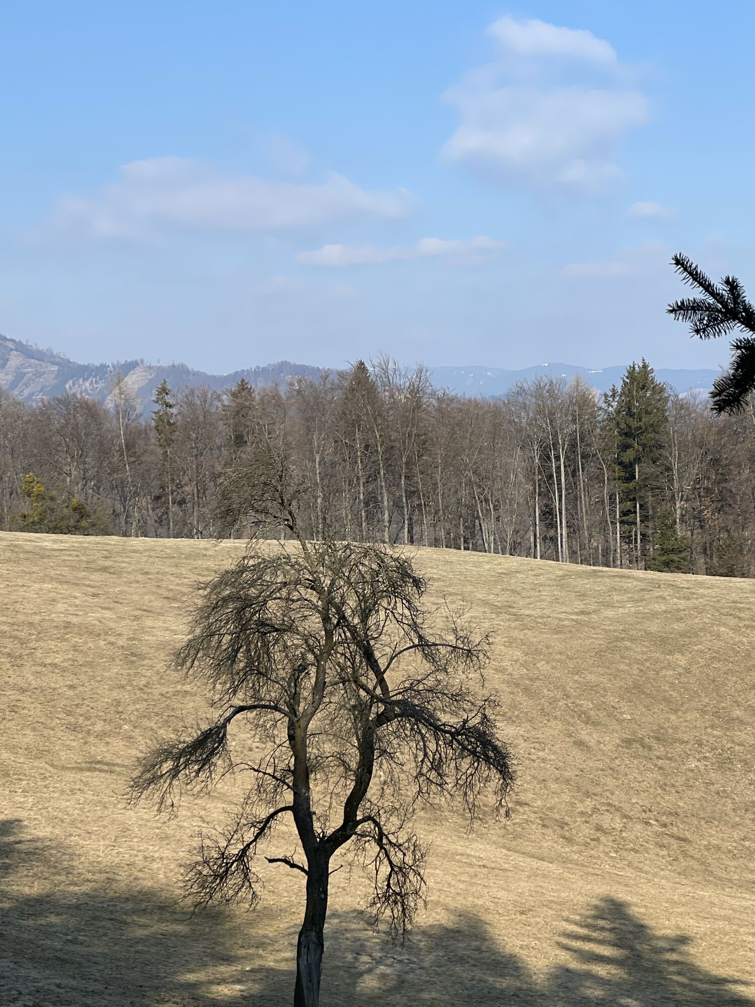
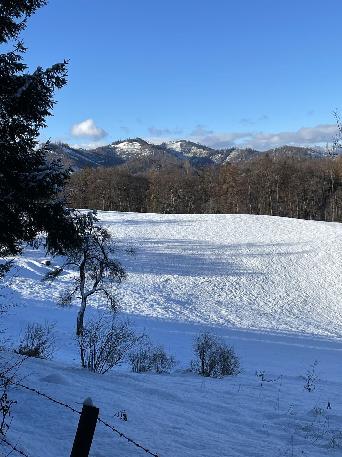
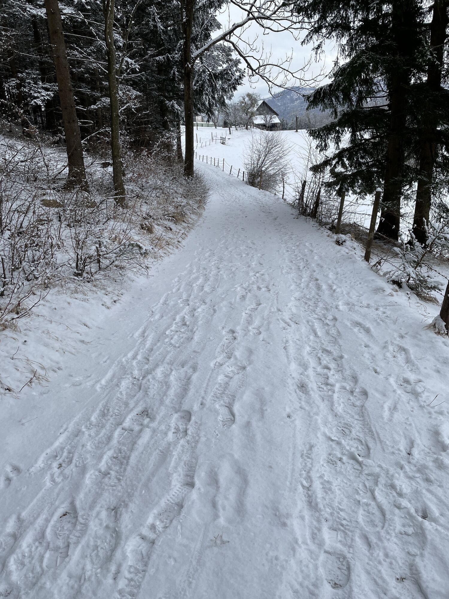
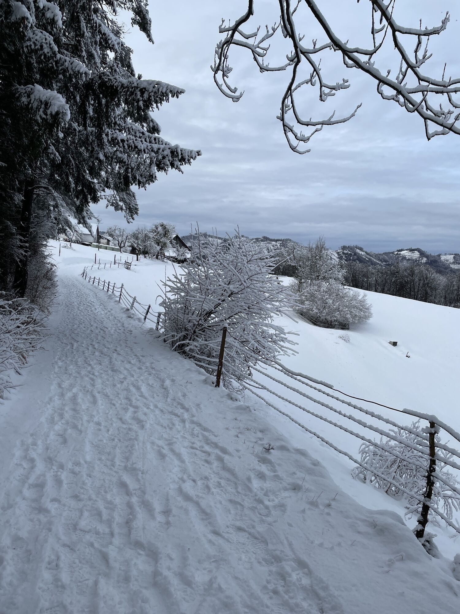
Leichte Rundwanderung, hinauf zum Gsollerkogel nur leicht ansteigend, von dort "steiler" Abstieg bis zurm Forstweg nach rechts, der ist aber wieder sehr angenehm zu gehen.
Route

Route information
Suitable for senior citizens
Yes
Forest area
Yes
Arrival information
Parking
Beim LKH II gibts ausreichend Parkplätze
Valuations
1 Comment
bernhard.po
29. Apr. 2024
Sehr angenehme kurze Wanderung. Die Aussicht am höchsten Punkt ist leider durch die Vegetation nicht mehr so toll, außerdem macht der Sender ziemliche Geräusche.
Passt gut zum Saisonstart 👍
Popular tours in the neighbourhood
- 4,6
Kesselfallklamm, Steiermark
lightHiking3,30 km - 4,2
Vom Schöcklkreuz auf den Schöckl
Hiking5 km - 4,6
Königgraben - Gamskogel - Bärenhöhle - Königgraben
mediumHiking5,60 km - 4,8
Haneggkogel-Runde
lightHiking8,43 km - 4,4
Rein ist Vergnügen
lightHiking11,6 km - 4,7
Frohnleitner Gschwendtberg
heavyHiking7,68 km - 4,7
R6 Kesselfallrundweg
mediumThematic route2,57 km - 4,8
Schöckl-Runde, Schöcklkreuz-Plenzengreith
lightHiking7,82 km - 3,8
Mühlbacher Hütte Rundwanderung über den Kaschlsteig
mediumHiking13,7 km - 4,6
Rundwanderweg Graz-Mariatrost
mediumHiking11,4 km
Hiking & Tracking

Over 550.000 tour suggestions, detailed maps and an intuitive route planner make the app a must-have for all nature enthusiasts.

Don't miss out on offers and inspiration for your next holiday
Subscribe to the newsletter
Error
An error has occurred. Please try again.Thank you for your registration
Your e-mail address has been added to the mailing list.
Tours throughout Europe
Austria Switzerland Germany Italy Slovenia France Netherlands Belgium Poland Liechtenstein Czechia Slovakia Spain Croatia Bosnia and Herzegovina Luxembourg Andorra Portugal Iceland United Kingdom Ireland Greece Albania North Macedonia Malta Norway Montenegro Moldova Kosovo Hungary San Marino Romania Estonia Latvia Belarus Cyprus Lithuania Serbia Bulgaria Monaco Denmark Sweden Finland