Wandern von Strassengel nach Thal und Ruine Gösting
light
Navigate
Navigate
Get this tour on your mobile
Wandern von Strassengel nach Thal und Ruine Gösting
light
Hiking
13,56
km
Scan the QR code and start navigation in the bergfex app

Hiking & Tracking


Distance
13,56
km
Duration
03:12
h
Ascent
496
m
Sea level
378 -
686
m
Track download
Wandern von Strassengel nach Thal und Ruine Gösting
light
Hiking
13,56
km


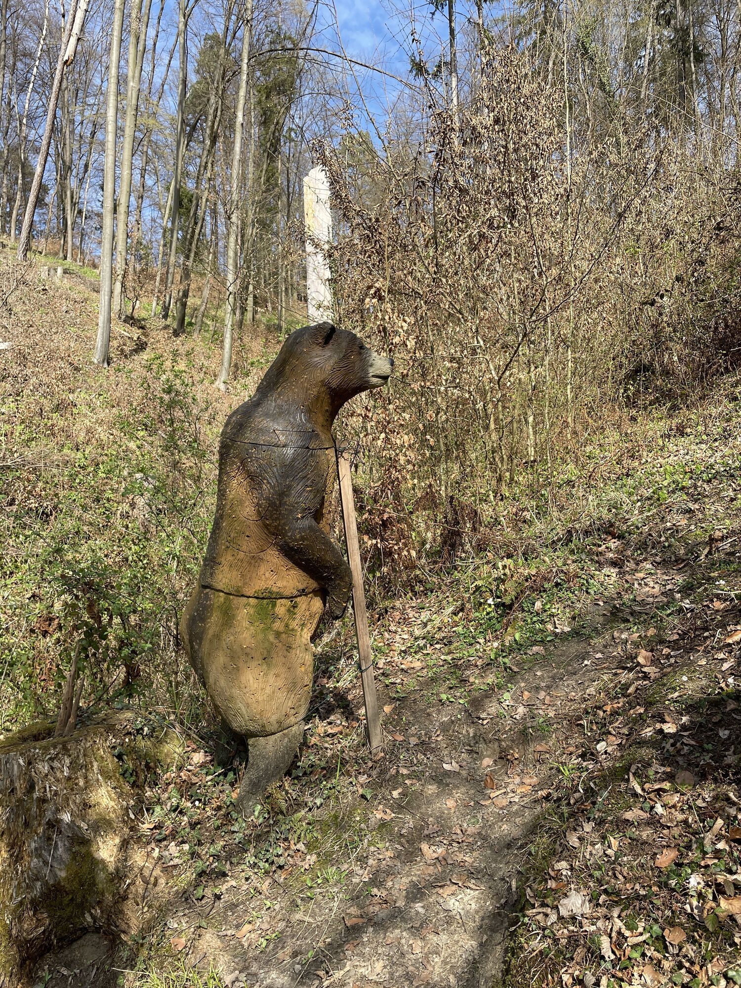
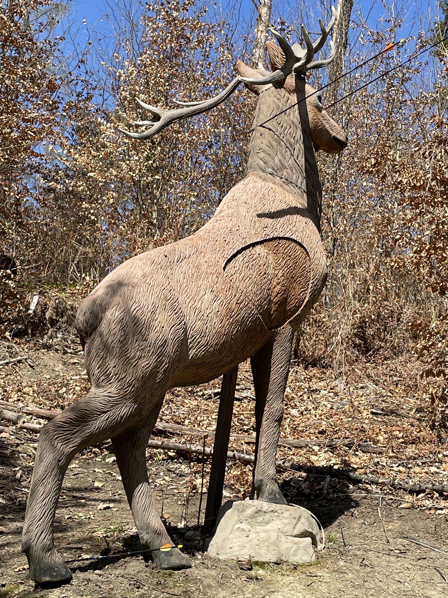
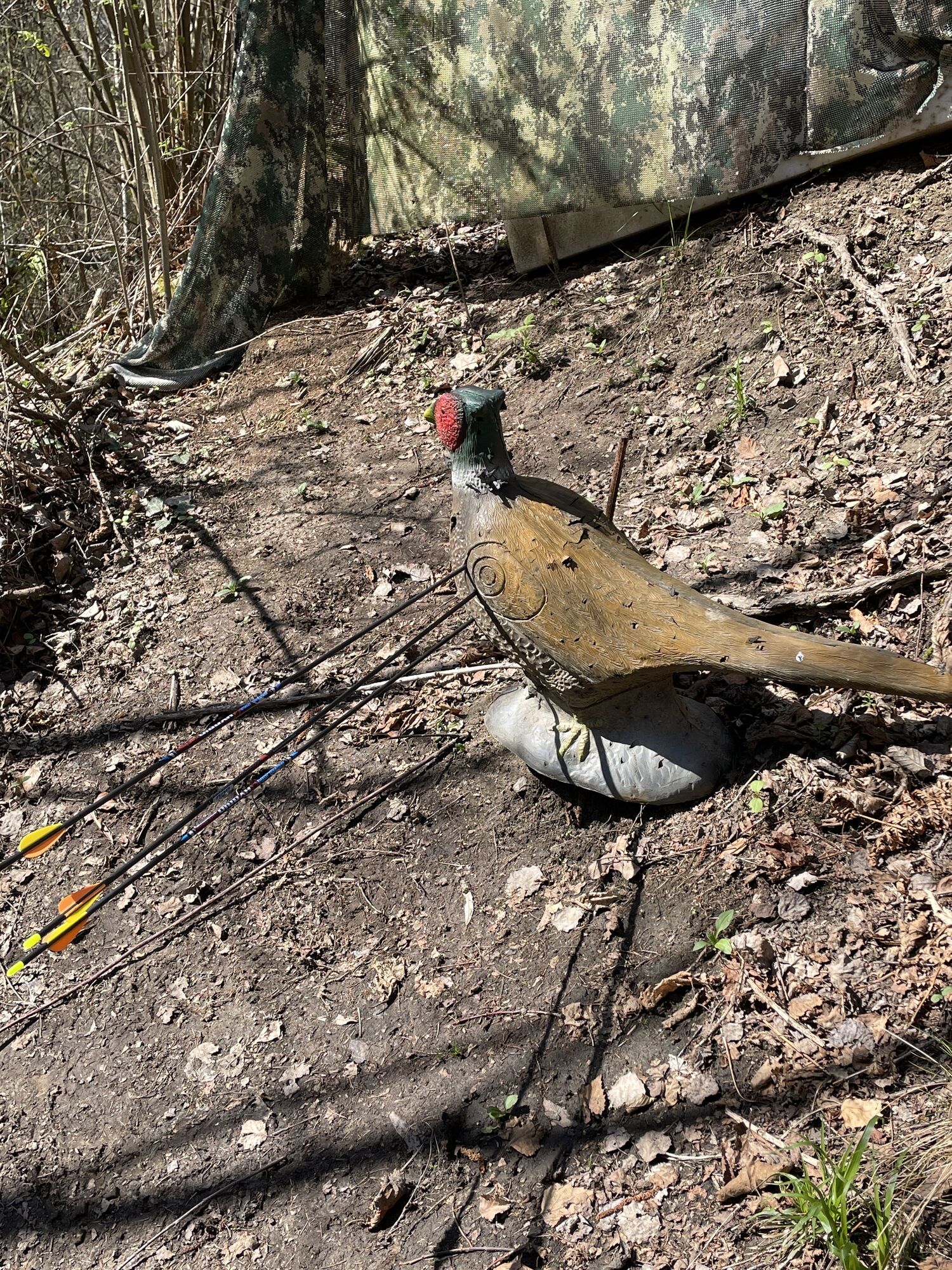
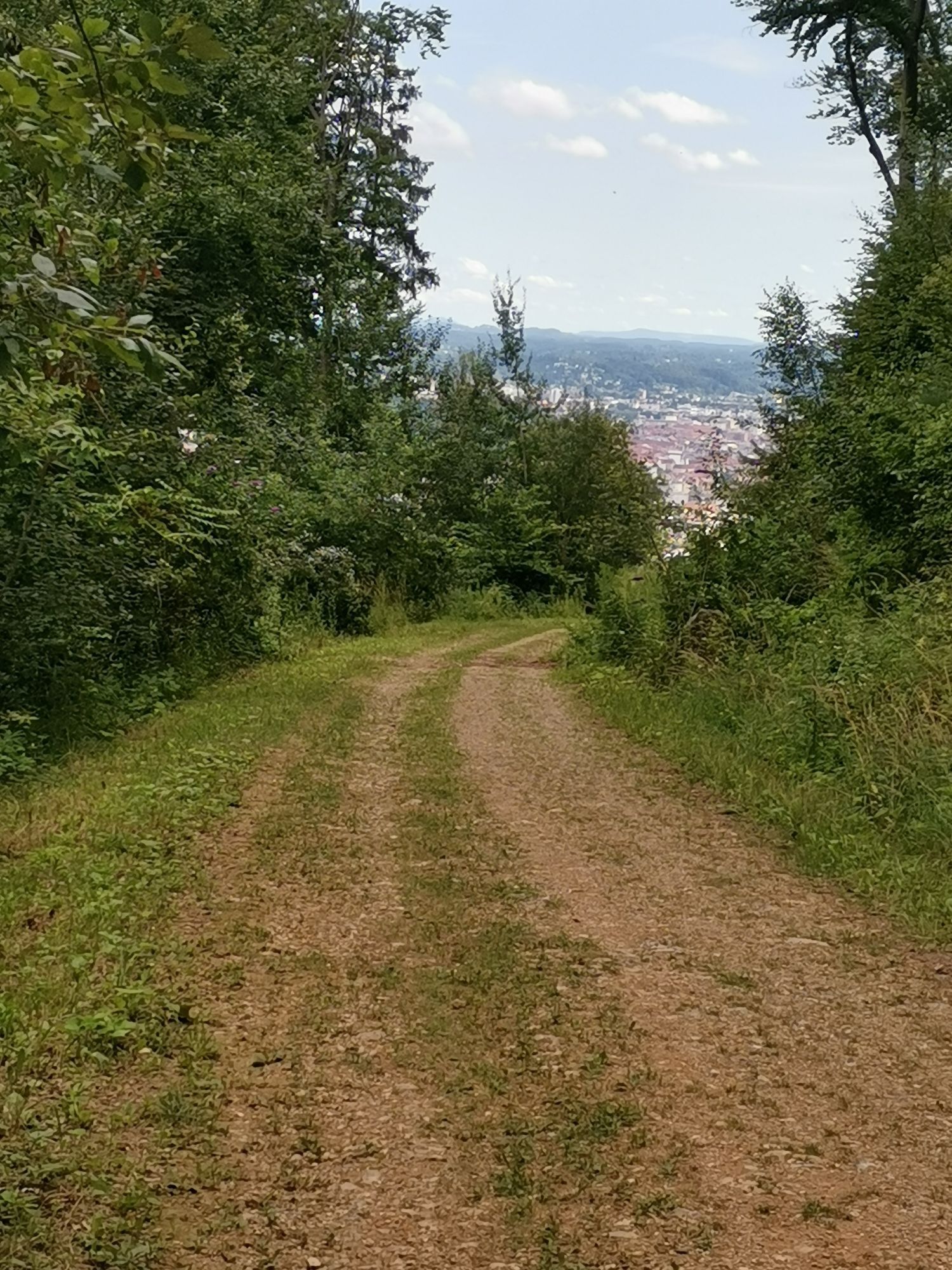
Photos from our users
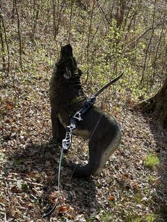
 © Wolfgang FÜRLINGERCreated on 23.03.2024
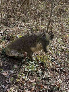 © Wolfgang FÜRLINGERCreated on 23.03.2024
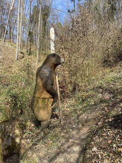 © Wolfgang FÜRLINGERCreated on 23.03.2024
 © Wolfgang FÜRLINGERCreated on 23.03.2024
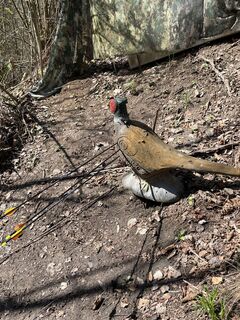 © Wolfgang FÜRLINGERCreated on 23.03.2024
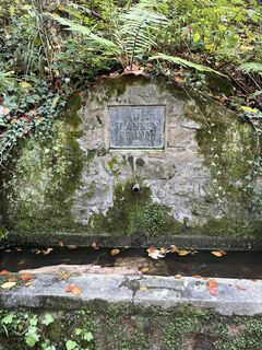
 © Claudia SattlerCreated on 04.11.2023
 © Jennifer IllmayerCreated on 02.08.2023
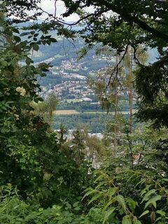 © Jennifer IllmayerCreated on 02.08.2023
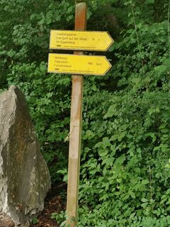 © Jennifer IllmayerCreated on 02.08.2023
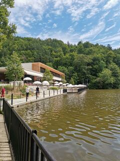 © Jennifer IllmayerCreated on 02.08.2023
 © Jennifer IllmayerCreated on 02.08.2023
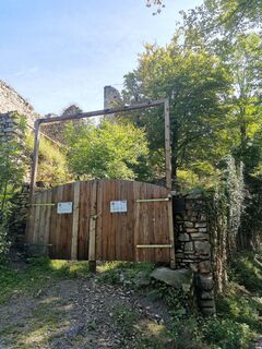 © Jennifer IllmayerCreated on 02.08.2023
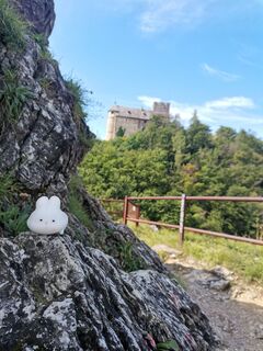 © Jennifer IllmayerCreated on 02.08.2023
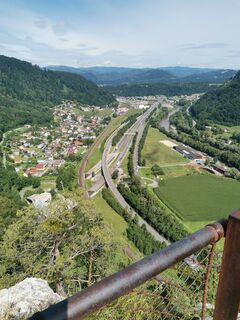 © Jennifer IllmayerCreated on 02.08.2023
 © Jennifer IllmayerCreated on 02.08.2023
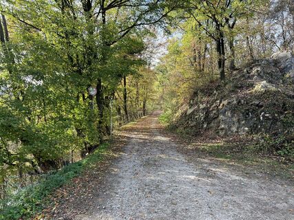
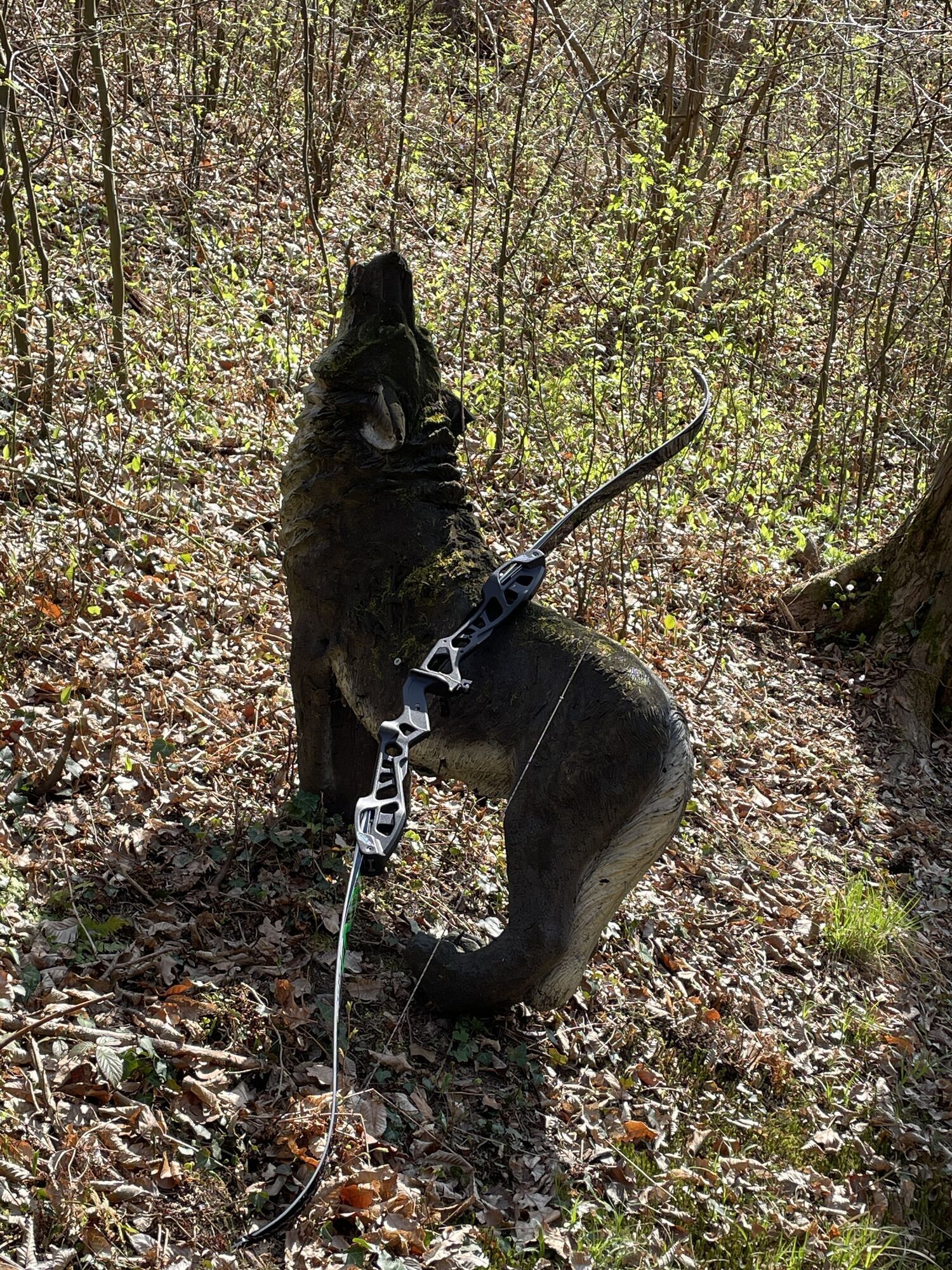
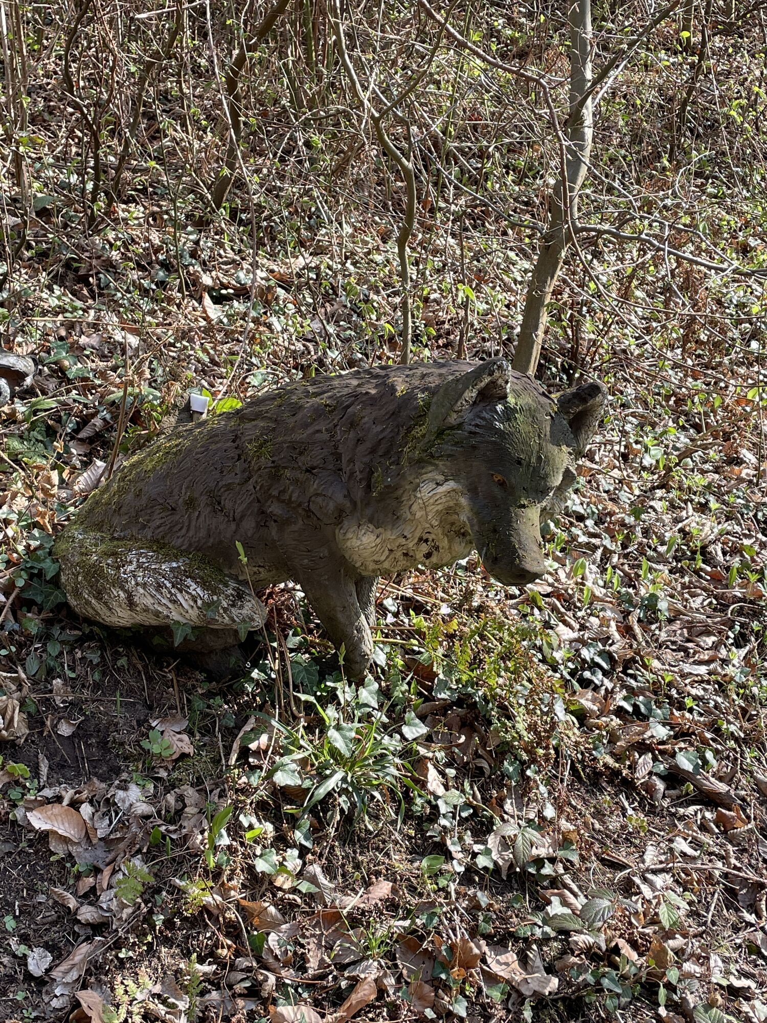
 © Michael ReicherCreated on 01.11.2022
 © Michael ReicherCreated on 01.11.2022
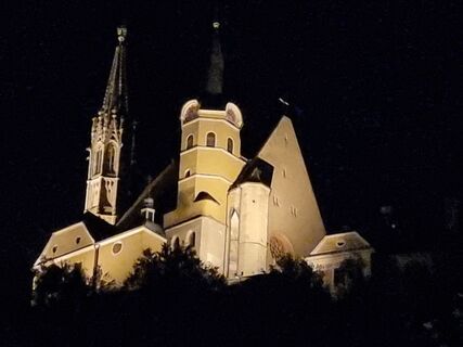 © bramingeCreated on 21.10.2022


Route
Gratwein-Straßengel
(387 m)
City
0,0 km
Kötschberg
(481 m)
Settlement
4,6 km
Oberbichl
(473 m)
Settlement
5,7 km
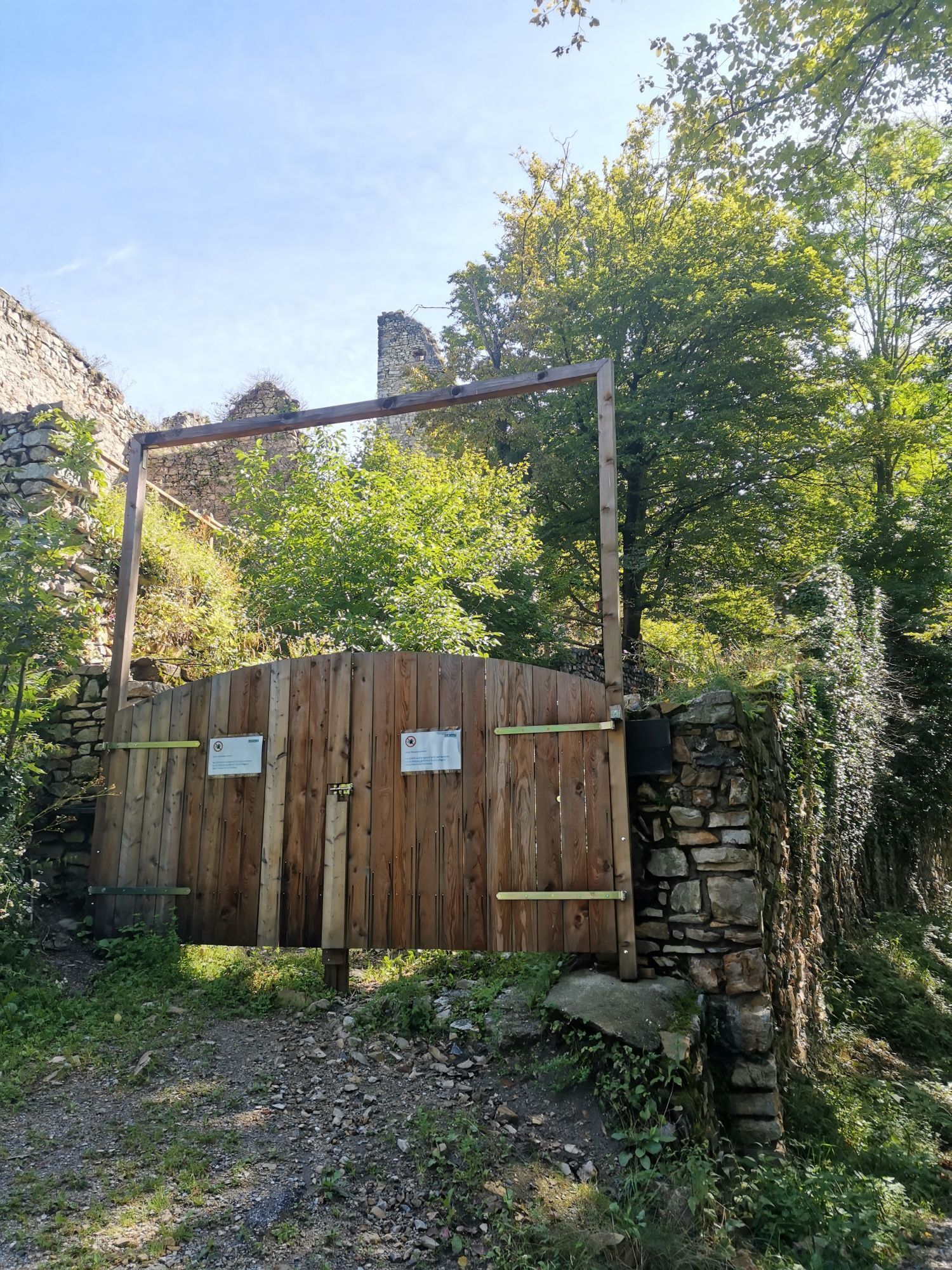
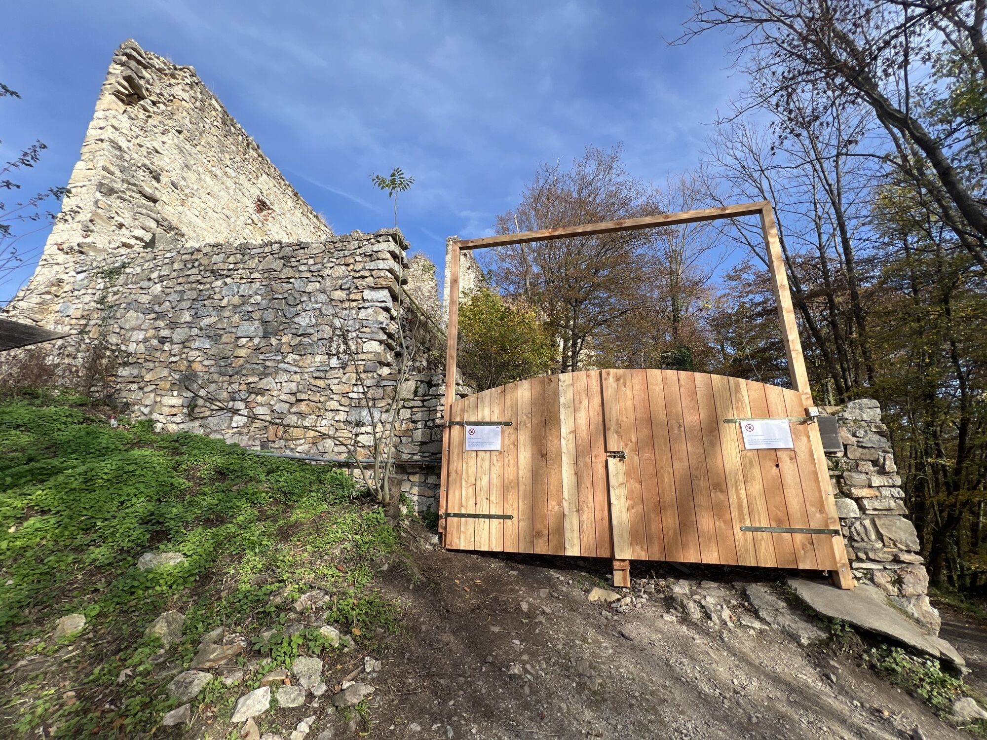
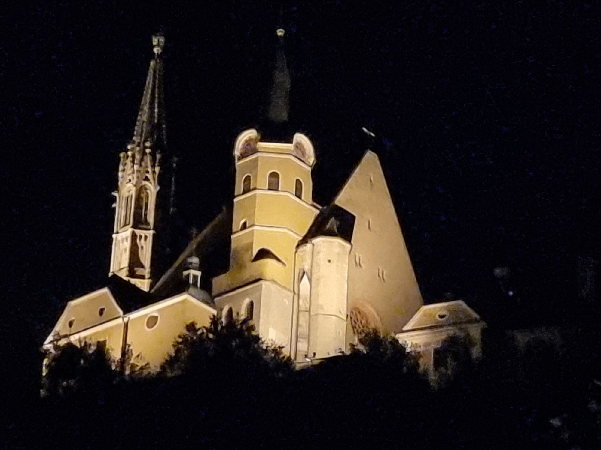
Göstinger Ruinenberg
(574 m)
Summit
8,4 km
Mariensäule Siebenbründl
(370 m)
Source
11,4 km
Judendorf
(384 m)
Neighbourhood
12,8 km
Gratwein-Straßengel
(387 m)
City
13,1 km
Route
Wandern von Strassengel nach Thal und Ruine Gösting
light
Hiking
13,56
km
Gratwein-Straßengel
(387 m)
City
0,0 km
Kreuzwirt
(491 m)
Restaurant
4,5 km
Kötschberg
(481 m)
Settlement
4,6 km
Winkel
(479 m)
Settlement
5,1 km
Oberbichl
(473 m)
Settlement
5,7 km
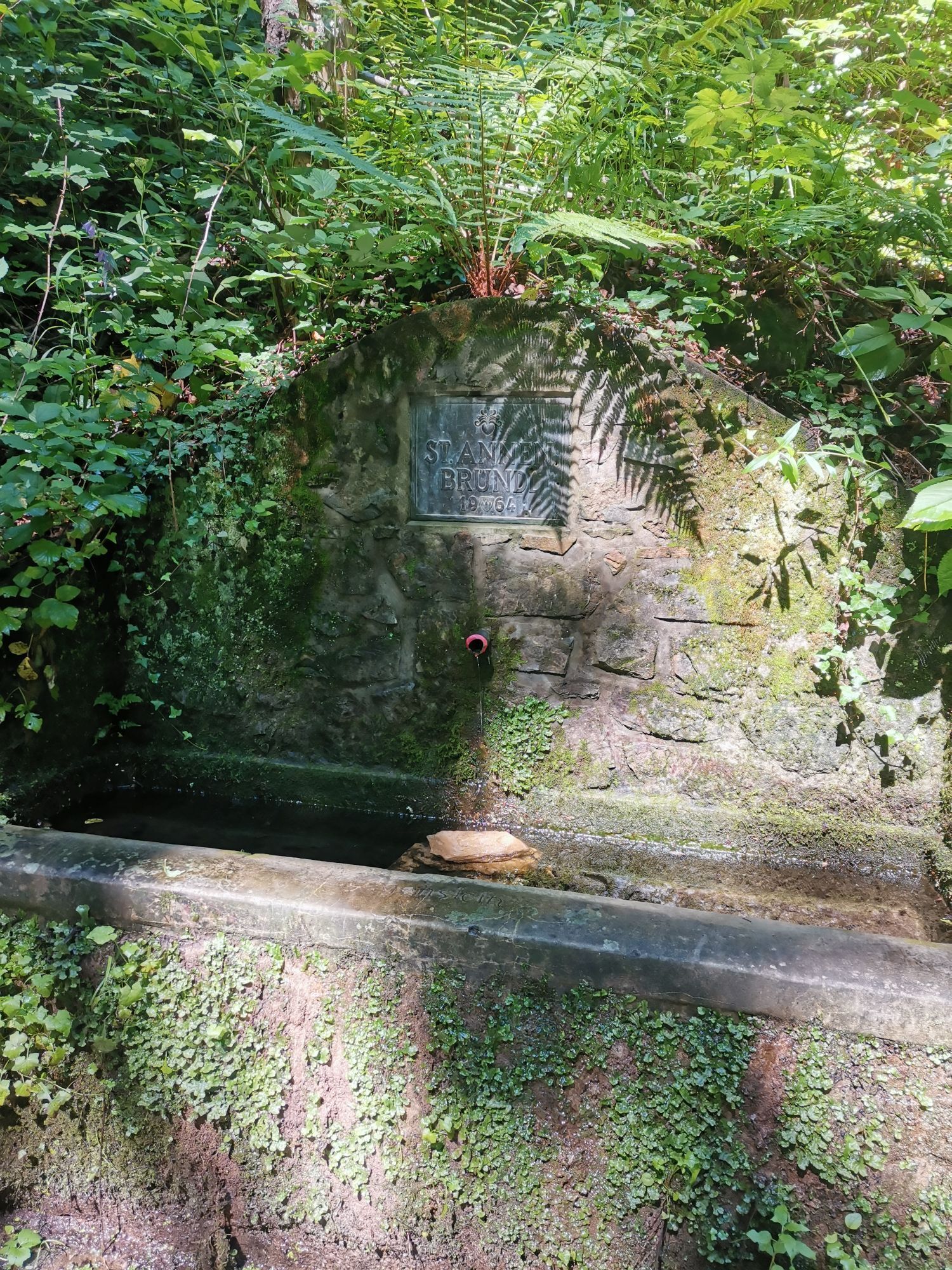
St.Annen Bründl
(571 m)
Source
7,5 km
Göstinger Ruinenberg
(574 m)
Summit
8,4 km
Raach
(367 m)
Settlement
9,8 km
Mariensäule Siebenbründl
(370 m)
Source
11,4 km
Gasthaus Posch
(382 m)
Restaurant
12,1 km
Judendorf
(384 m)
Neighbourhood
12,8 km
Gratwein-Straßengel
(387 m)
City
13,1 km

Route information
Forest area
Yes
No reviews yet
Popular tours in the neighbourhood
- 4,6
Kesselfallklamm, Steiermark
lightHiking3,30 km - 4,6
Königgraben - Gamskogel - Bärenhöhle - Königgraben
mediumHiking5,60 km - 4,3
Rein ist Vergnügen
lightHiking11,6 km - 4,7
R6 Kesselfallrundweg
mediumThematic route2,57 km - 4,8
Schöckl-Runde, Schöcklkreuz-Plenzengreith
lightHiking7,82 km - 3,8
Mühlbacher Hütte Rundwanderung über den Kaschlsteig
mediumHiking13,7 km - 4,6
Rundwanderweg Graz-Mariatrost
mediumHiking11,4 km - 4,0
Steingraben - Schöckl
mediumHiking10,3 km - 5,0
Enzenbach -Kaschelsteig -Mühlbacherhütte
mediumHiking9,34 km - 4,7
Johann u. Paul-Rudolfswarte-St.Martin Runde
lightHiking6,39 km
Hiking & Tracking

Over 550.000 tour suggestions, detailed maps and an intuitive route planner make the app a must-have for all nature enthusiasts.

Don't miss out on offers and inspiration for your next holiday
Subscribe to the newsletter
Error
An error has occurred. Please try again.Thank you for your registration
Your e-mail address has been added to the mailing list.
Tours throughout Europe
Austria Switzerland Germany Italy Slovenia France Netherlands Belgium Poland Liechtenstein Czechia Slovakia Spain Croatia Bosnia and Herzegovina Luxembourg Andorra Portugal Iceland United Kingdom Ireland Greece Albania North Macedonia Malta Norway Montenegro Moldova Kosovo Hungary San Marino Romania Estonia Latvia Belarus Cyprus Lithuania Serbia Bulgaria Monaco Denmark Sweden Finland