


Photos from our users
 © Filip TesarčíkCreated on 14.06.2025
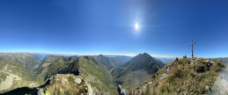
 © Andreas Ramsbacher 1Created on 20.08.2023
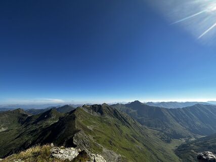 © Andreas Ramsbacher 1Created on 20.08.2023
 © juergen.semriachCreated on 12.10.2025
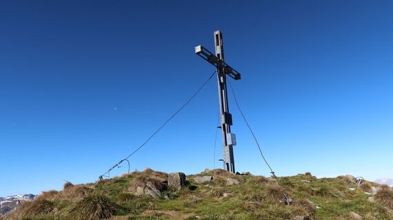 © juergen.semriachCreated on 12.10.2025
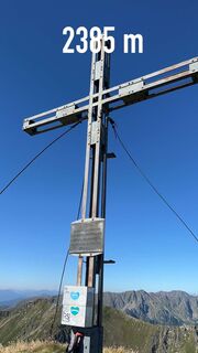 © Andreas Ramsbacher 1Created on 20.08.2023
 © Andreas Ramsbacher 1Created on 20.08.2023
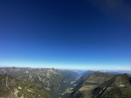 © Andreas Ramsbacher 1Created on 20.08.2023
 © Andreas Ramsbacher 1Created on 20.08.2023

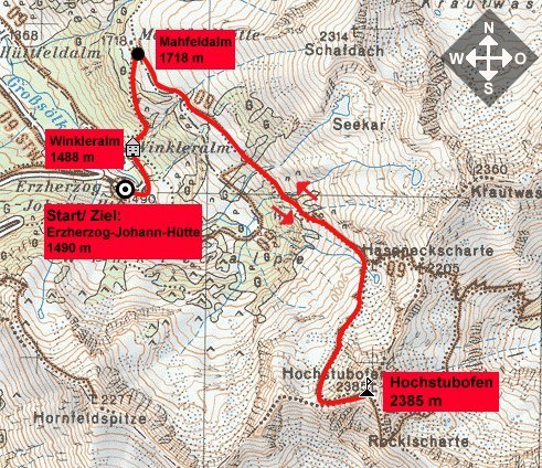
Der Startpunkt der Tour ist bei der Erzherzog-Johann-Hütte (1490 m) in der ersten Kehre der Sölkpaßstraße. Schon bald hat man die bewirtschaftete Winkler Alm (1488 m) erreicht. Von hier steigt man in vielen...
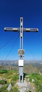
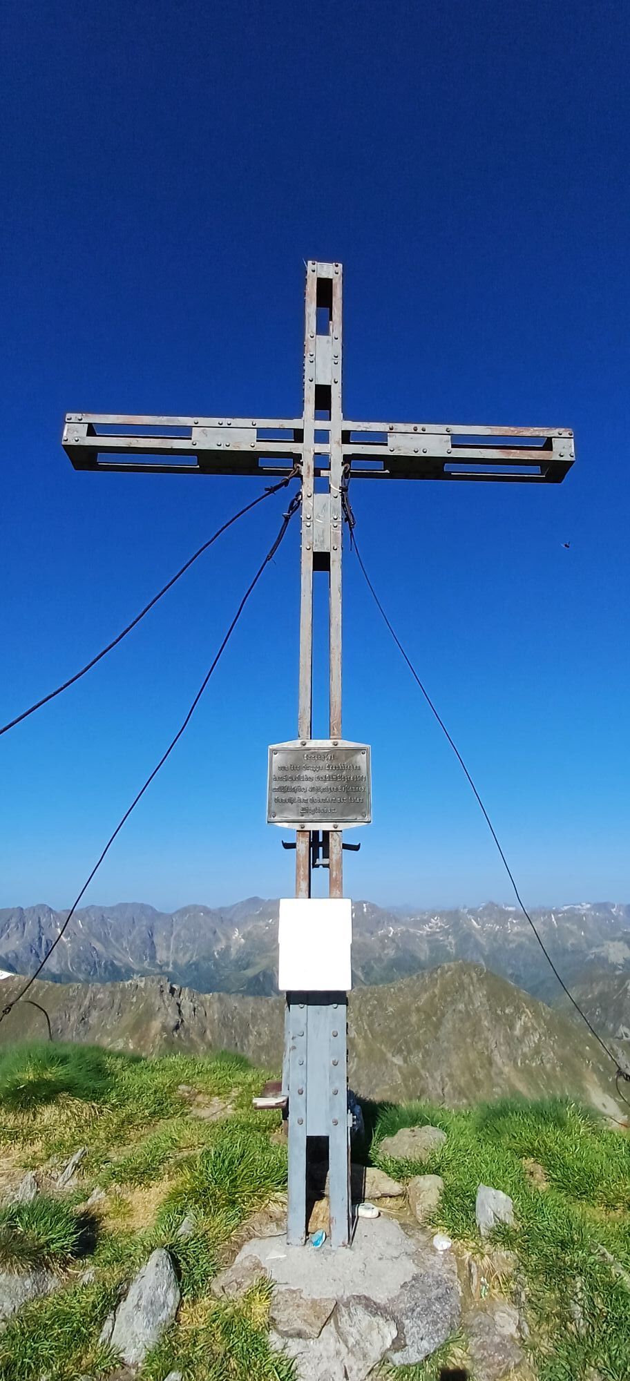
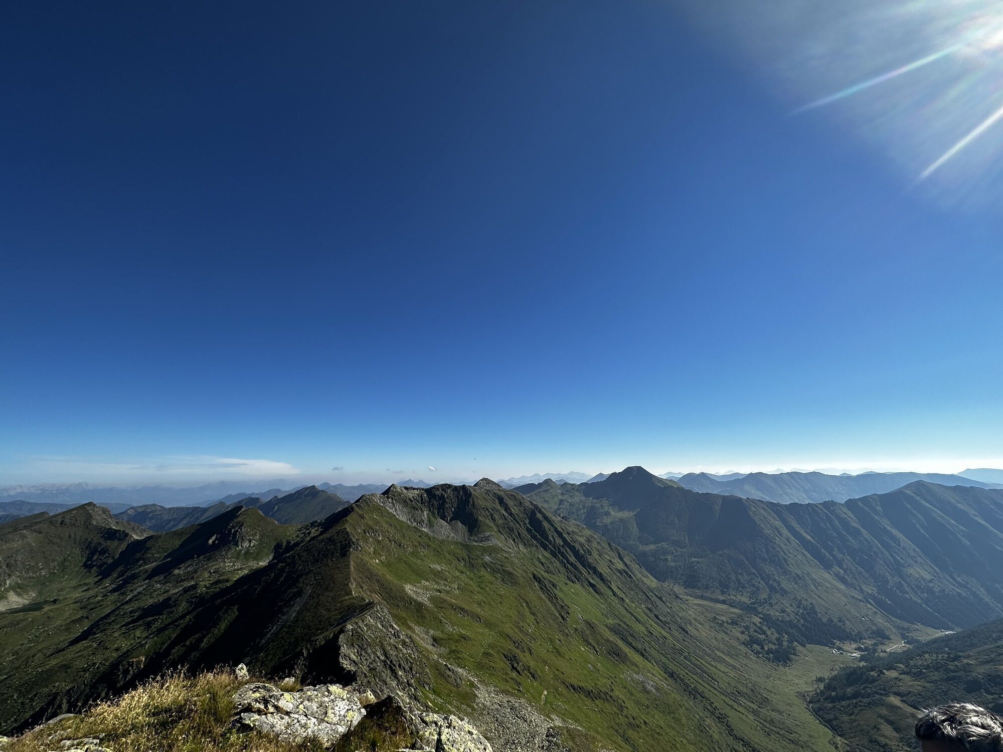
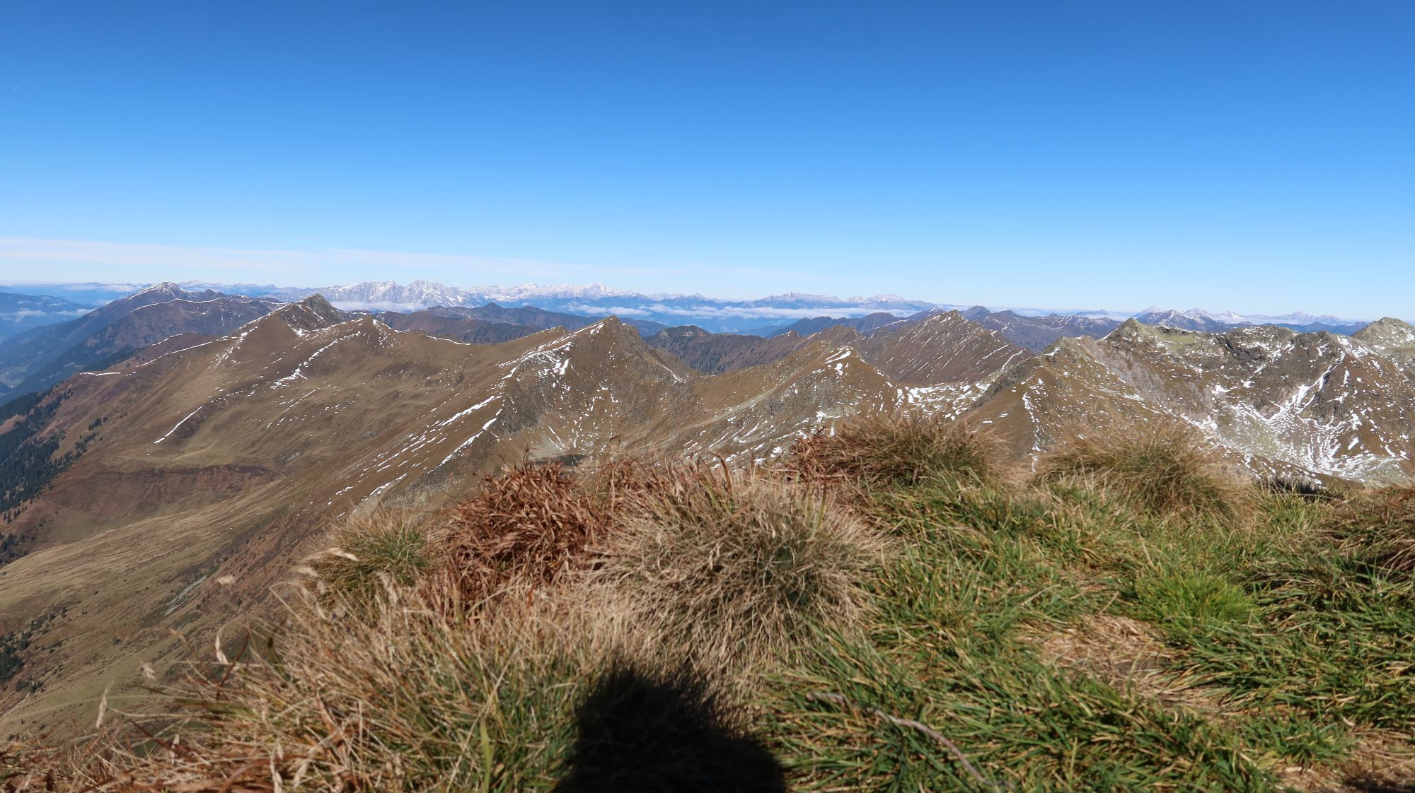
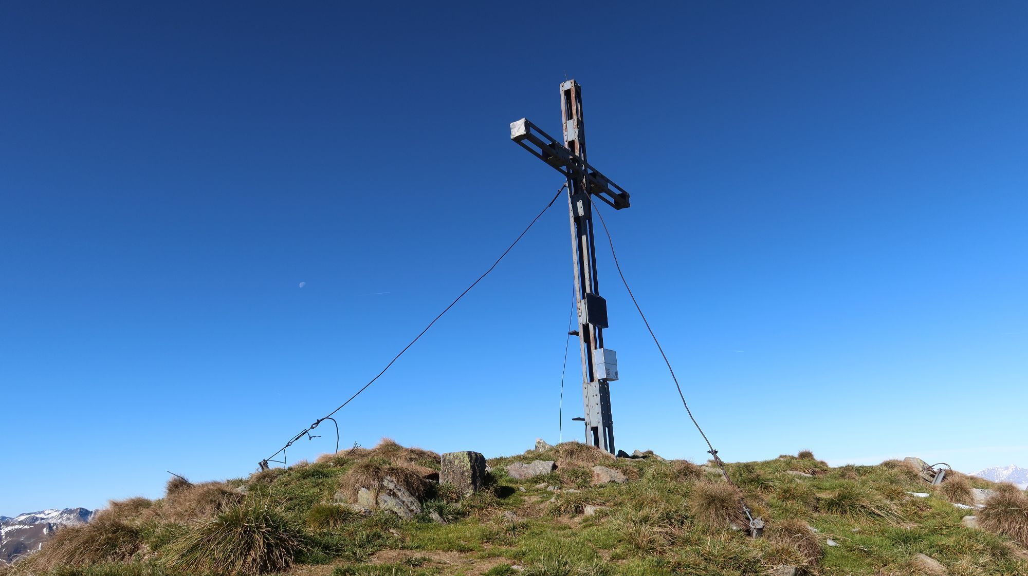
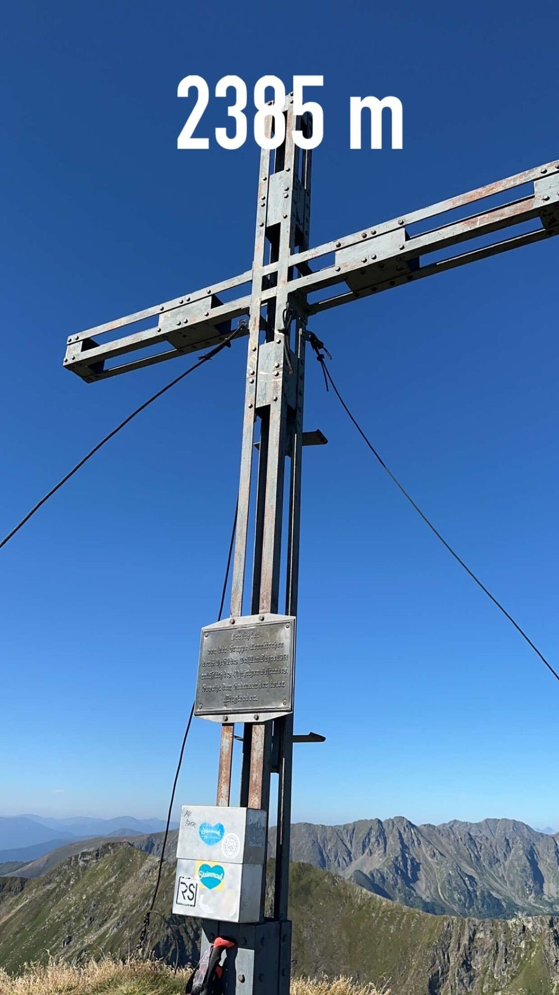
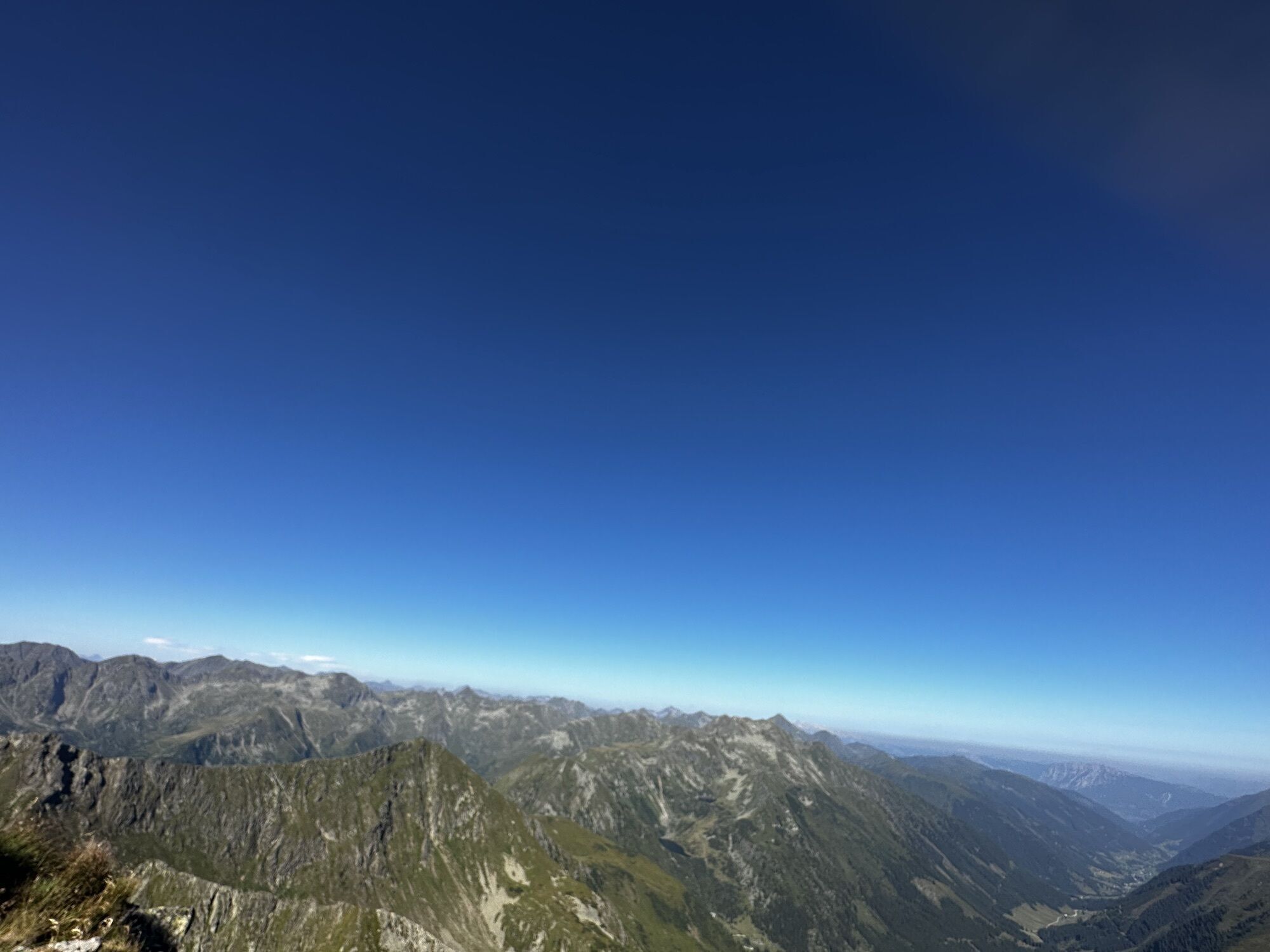
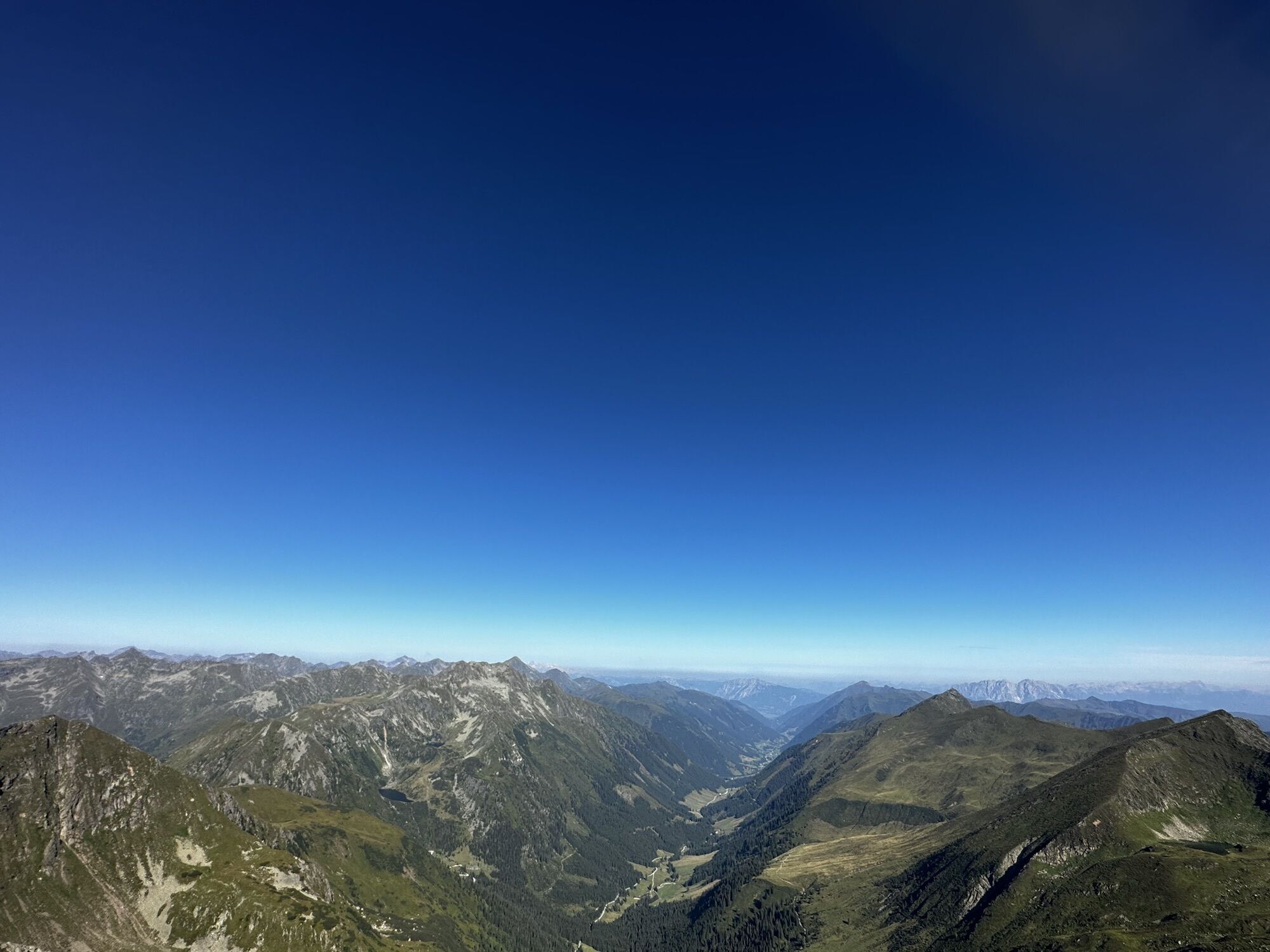
Der Startpunkt der Tour ist bei der Erzherzog-Johann-Hütte (1490 m) in der ersten Kehre der Sölkpaßstraße. Schon bald hat man die bewirtschaftete Winkler Alm (1488 m) erreicht. Von hier steigt man in vielen Kehren auf zur Mahfeldalm (1718 m, Weg Nr. 926/ 909). Teilweise steil bergauf führt die Route bis zu einer Weggabelung, bei der man sich rechts hält. Dem Steig weiter folgend gelangt man auf den südwestseitigen Grat, über den man schließlich den Gipfel des Hochstubofens (2385 m) erreicht. Die Aussicht in die Schladminger- und Wölzertauern entschädigt jegliche Aufstiegsmühen! Zum Ausgangspunkt zurück geht’s am Aufstiegsweg.


Erzherzog-Johann-Hütte, Winkler Alm;
Yes
Von der A 9 bei Liezen abfahren. Der Ennstal-Bundesstrasse (B146) über Liezen und Stainach-Irdning bis Espang folgen. Über Öblarn, Stein an der Enns und Großsölk nach St. Nikolai. Dort weiter bis zur Erzherzog-Johann-Hütte (erste Kehre der Sölkpaßstraße).
Popular tours in the neighbourhood
- 4.6
Deneck
mediumHiking7.52 km - 3.9
Knallstein
heavyHiking19 km - 4.5
Karlspitze - Schreinl ab Planneralm
mediumSki tour9.73 km - 4.8
Talkenschrein
mediumHiking4.22 km - 4.6
Seekarlsee - Karibikfeeling garantiert
mediumThematic route12.1 km - 5.0
Hochstubofen-Rettlkirchspitz Steiermark/Österreich,Oberwölz-Eselsgraben
heavyHiking10.7 km - 4.6
Greim
mediumHiking6.12 km - 3.6
Zwieflerseen - Sölkpass
mediumHiking3.81 km - 4.2
Gipfeltour zum Knallstein
mediumHiking15.5 km - 5.0
Talkenschrein -Neunkirchner Hütte
Hiking4.79 km

Hiking & Tracking


Don't miss out on offers and inspiration for your next holiday
Your e-mail address has been added to the mailing list.