Schnepf'n Alm - Preuneggstüberl - Schober
heavy
Navigate
Navigate
Get this tour on your mobile
Schnepf'n Alm - Preuneggstüberl - Schober
heavy
Hiking
12,93
km
Scan the QR code and start navigation in the bergfex app

Hiking & Tracking


Distance
12,93
km
Duration
04:44
h
Ascent
971
m
Sea level
1.163 -
2.089
m
Track download
Schnepf'n Alm - Preuneggstüberl - Schober
heavy
Hiking
12,93
km


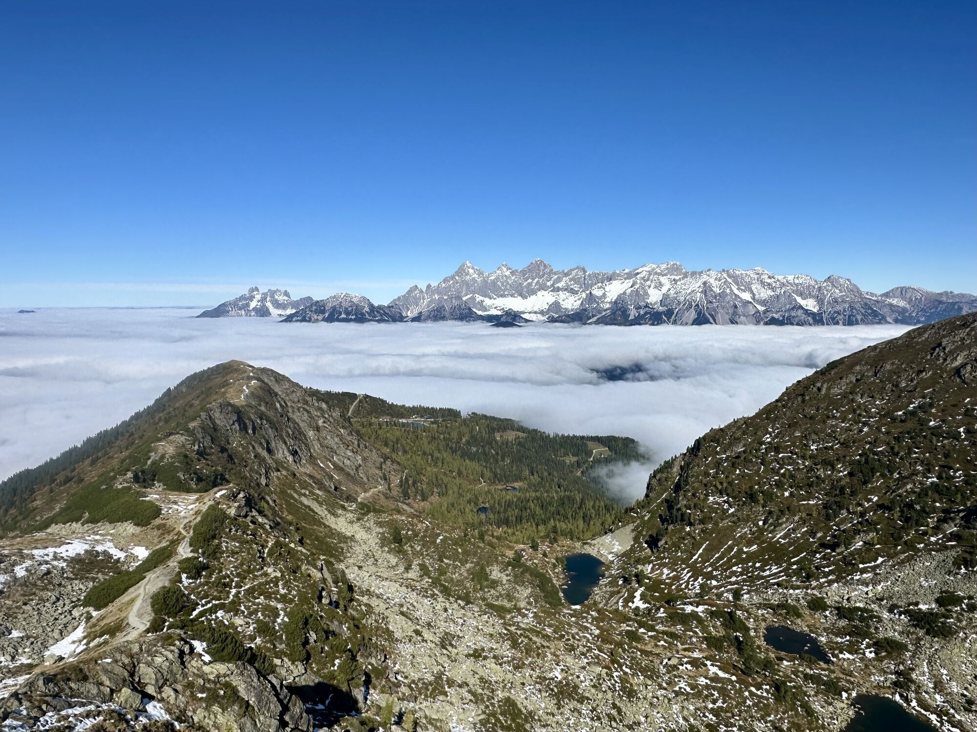
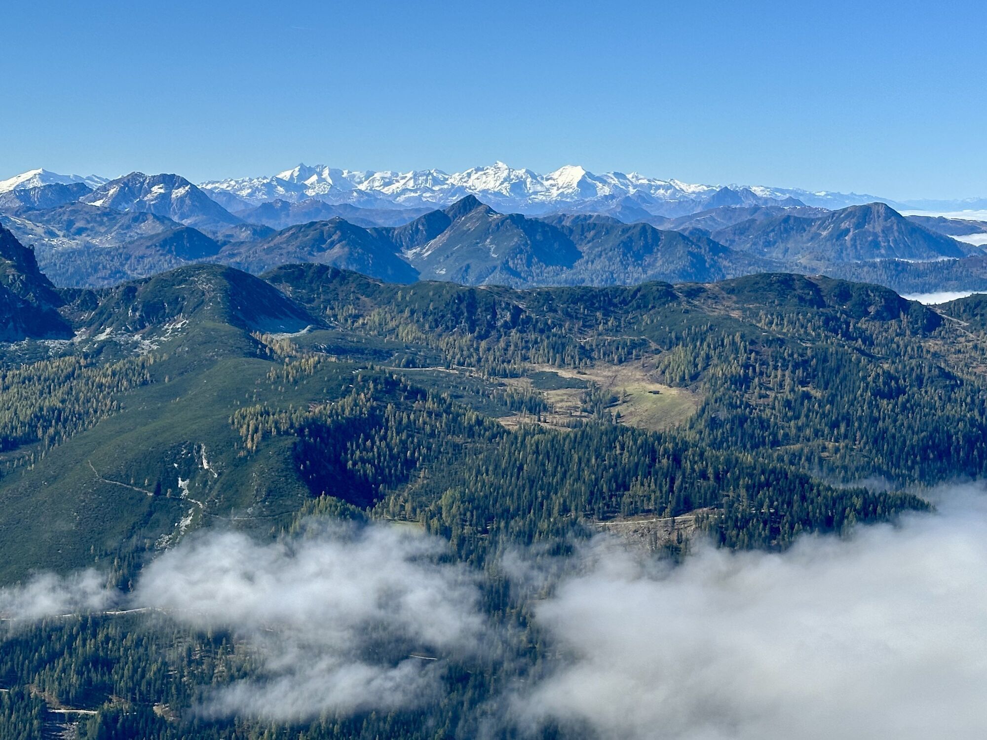
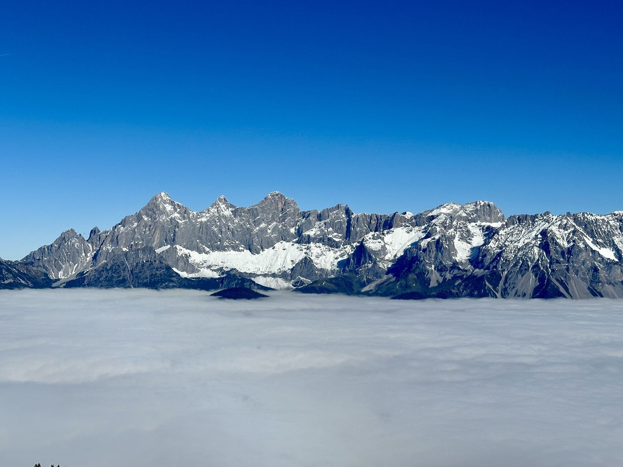
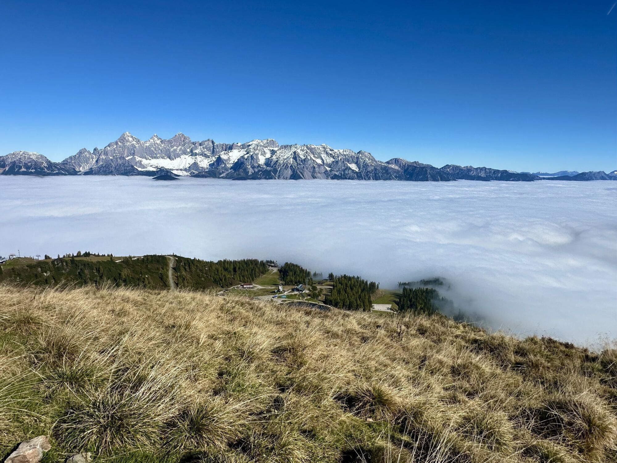
Photos from our users
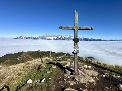
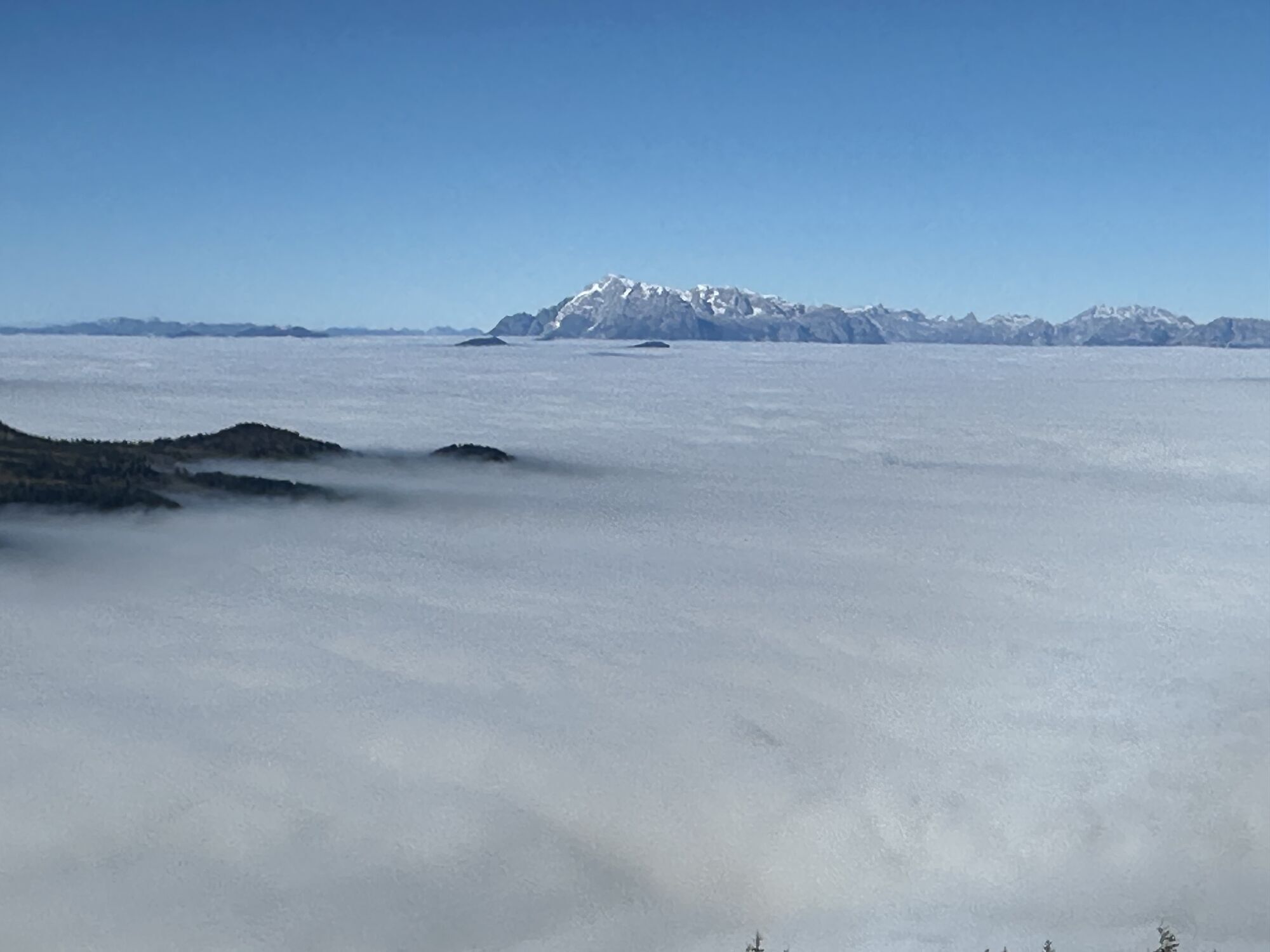
 © Christian PflegerlCreated on 12.10.2025
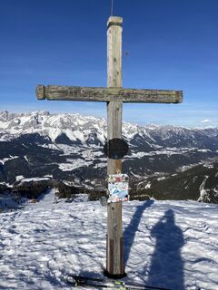
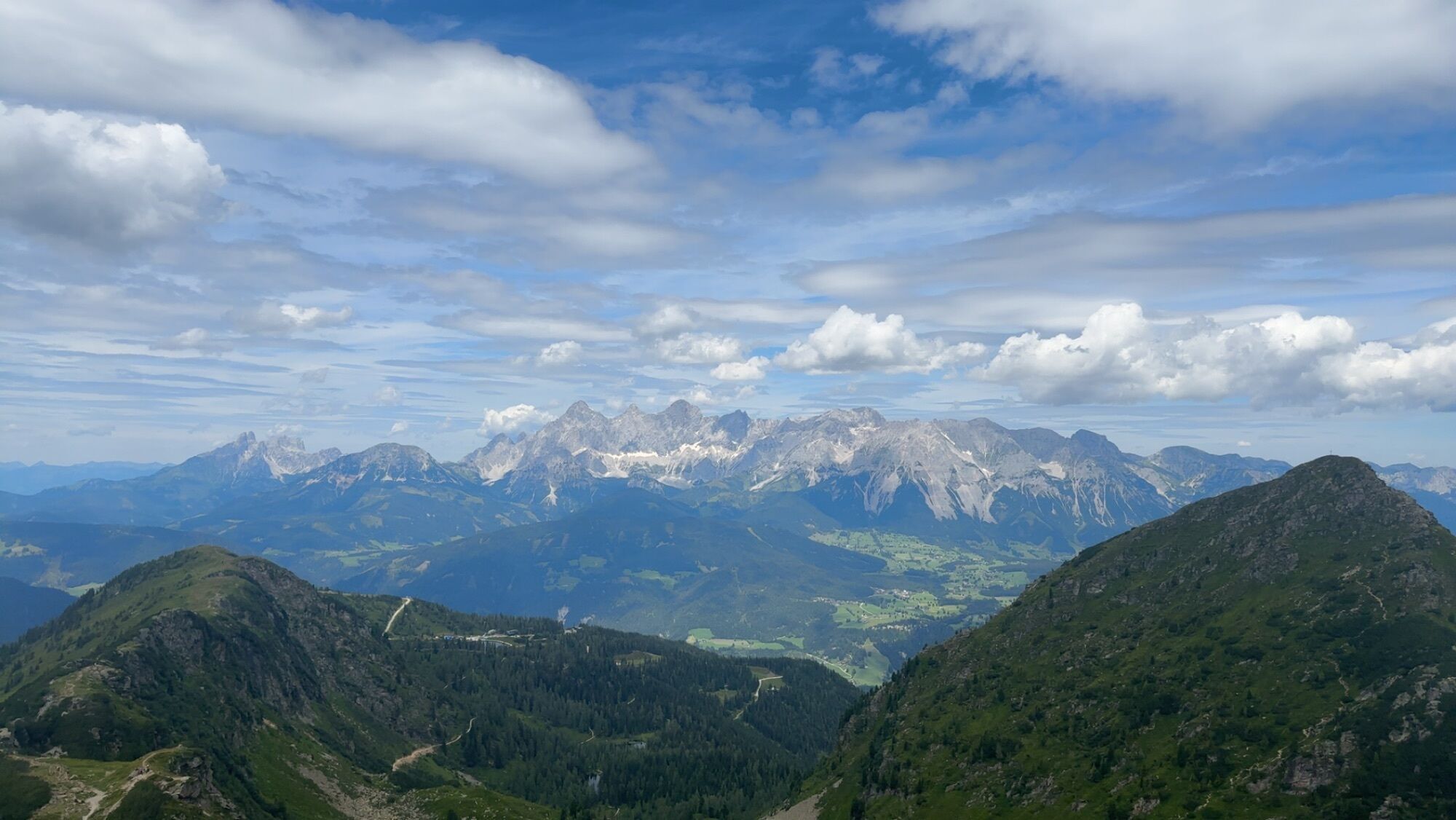
 © Sirus ZafarCreated on 18.02.2023
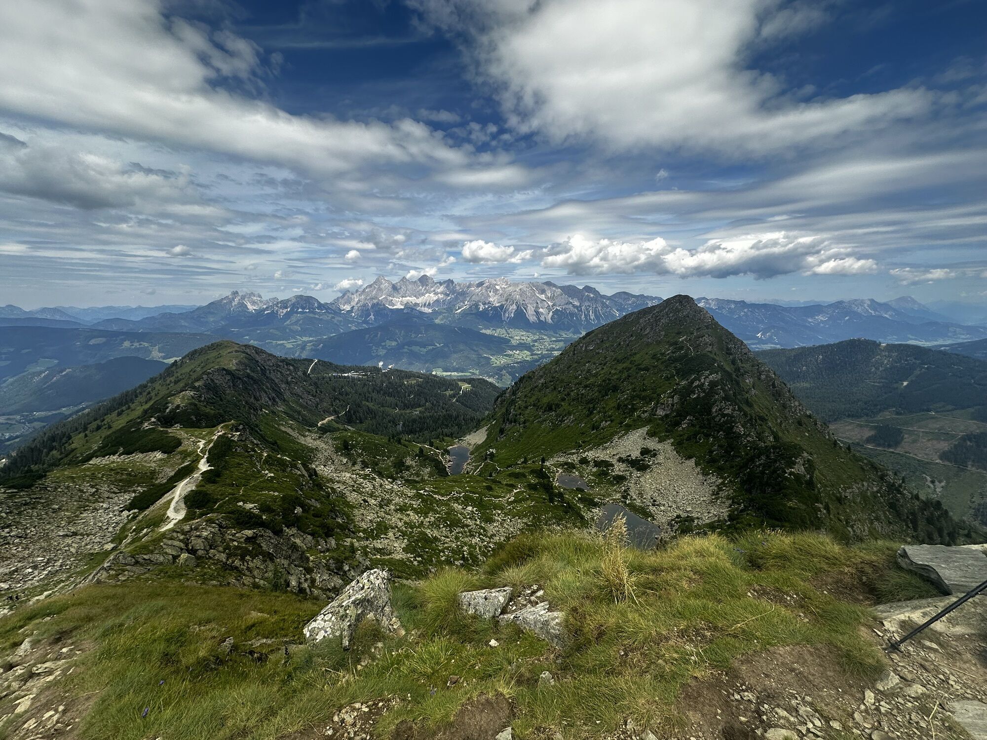
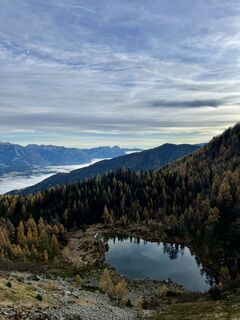 © Nicolas HocheneggCreated on 23.10.2022
 © Christian PflegerlCreated on 12.10.2025
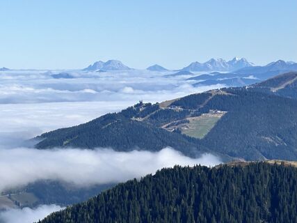 © Christian PflegerlCreated on 12.10.2025
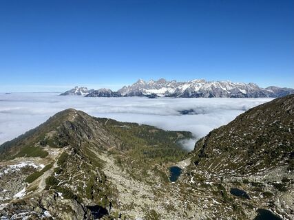 © Christian PflegerlCreated on 12.10.2025
 © Christian PflegerlCreated on 12.10.2025
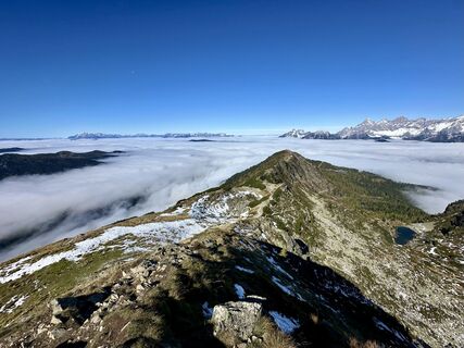 © Christian PflegerlCreated on 12.10.2025
 © Christian PflegerlCreated on 12.10.2025
 © Christian PflegerlCreated on 12.10.2025
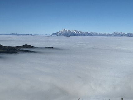 © Christian PflegerlCreated on 12.10.2025
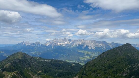
 © Andreas Ramsbacher 1Created on 26.07.2024
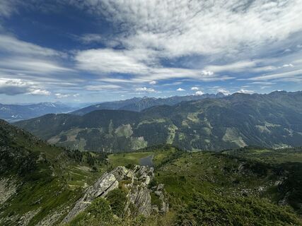 © Andreas Ramsbacher 1Created on 26.07.2024
 © Andreas Ramsbacher 1Created on 26.07.2024
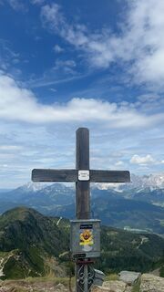 © Andreas Ramsbacher 1Created on 26.07.2024
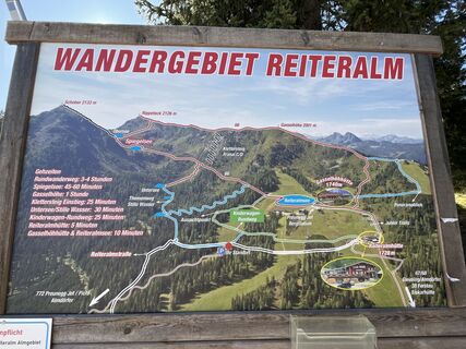 © PDCreated on 03.10.2023
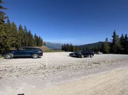 © PDCreated on 03.10.2023
 © PDCreated on 03.10.2023
 © Sirus ZafarCreated on 18.02.2023
 © Sirus ZafarCreated on 18.02.2023
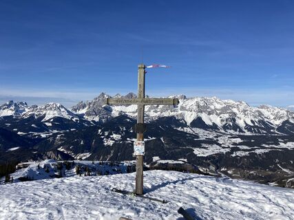 © Sirus ZafarCreated on 18.02.2023
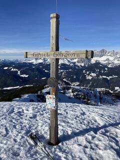 © Sirus ZafarCreated on 18.02.2023
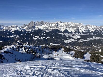 © Sirus ZafarCreated on 18.02.2023
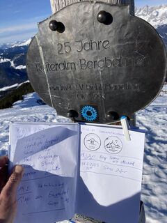 © Sirus ZafarCreated on 18.02.2023
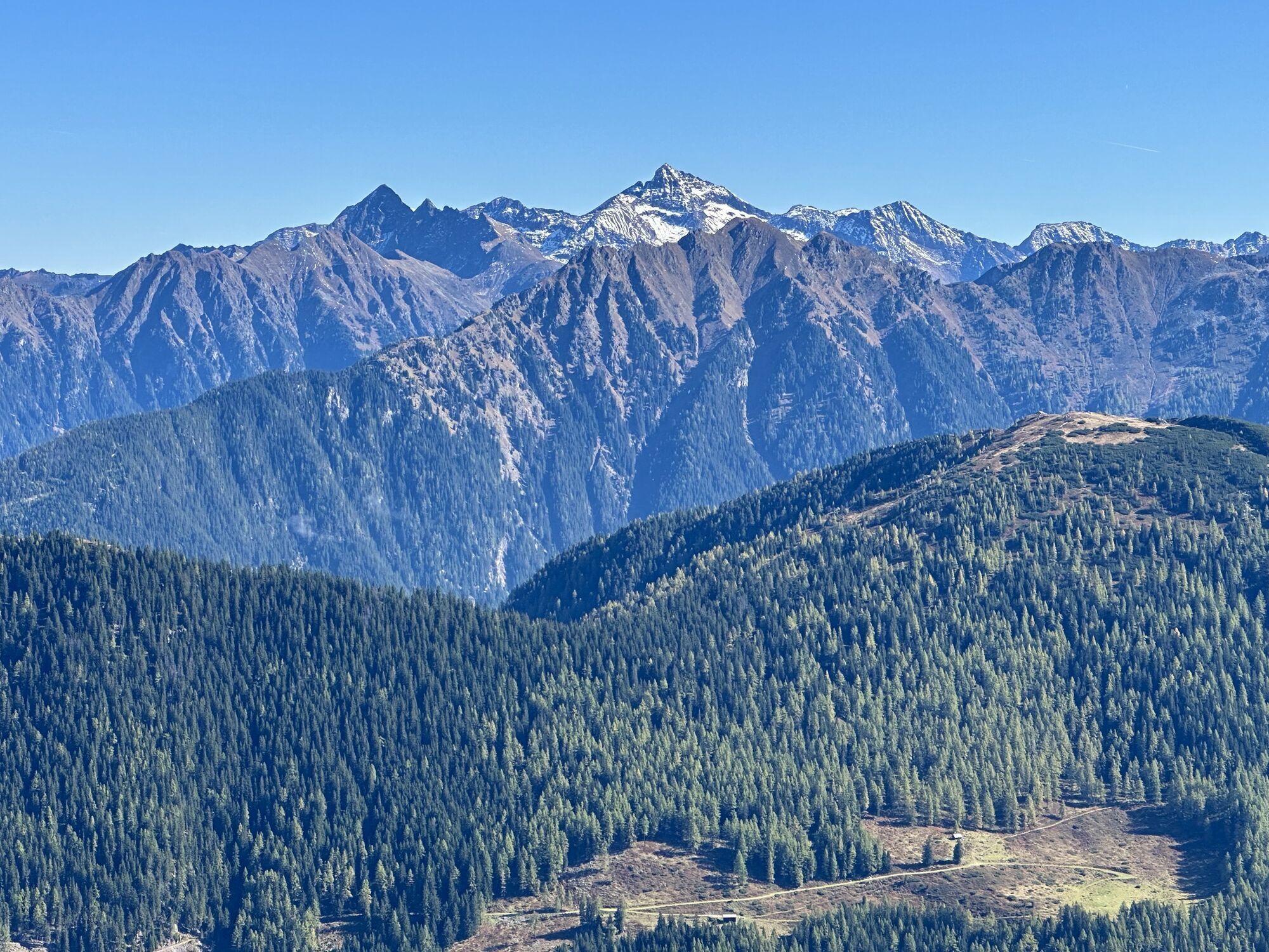


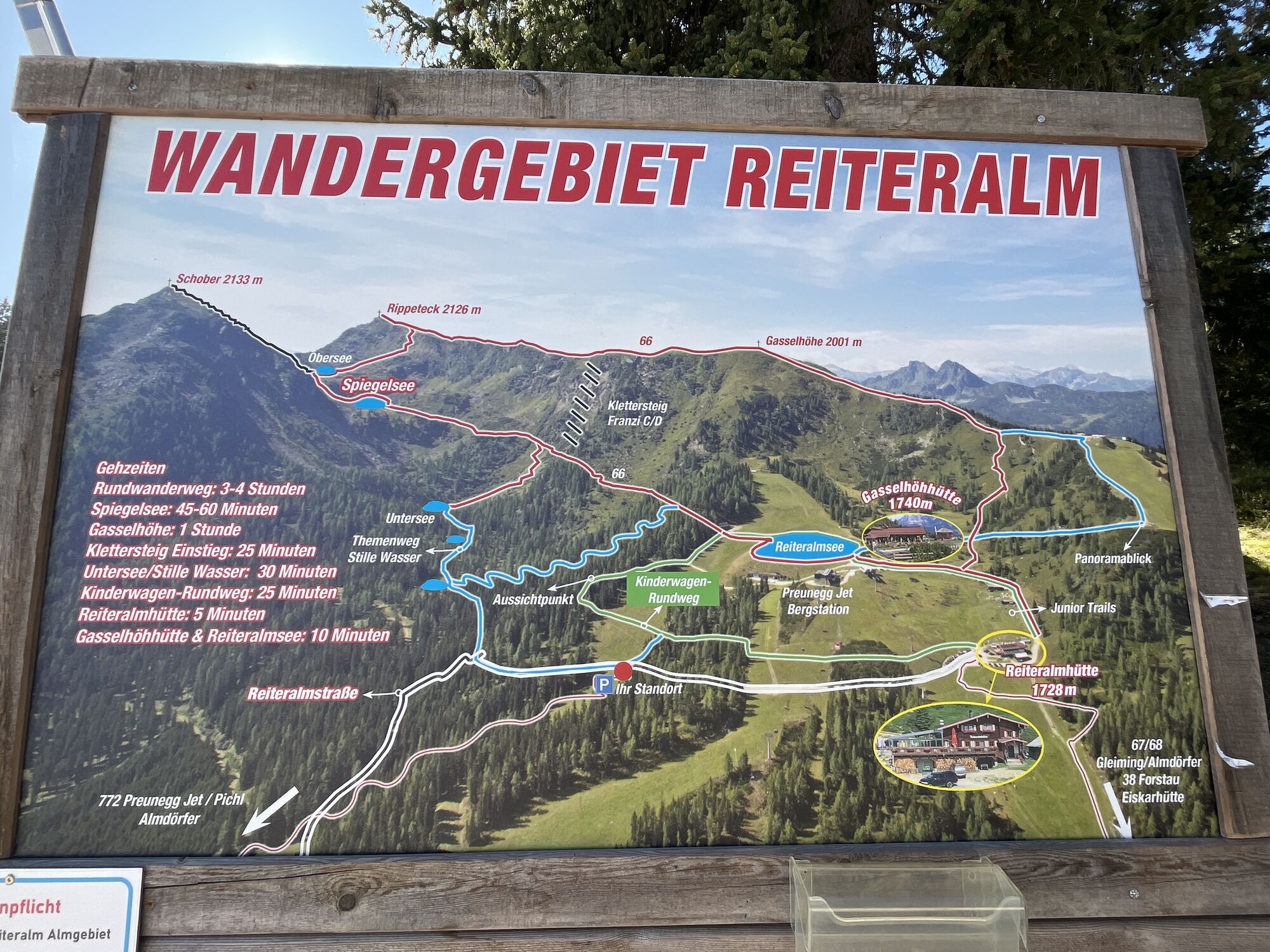


Route
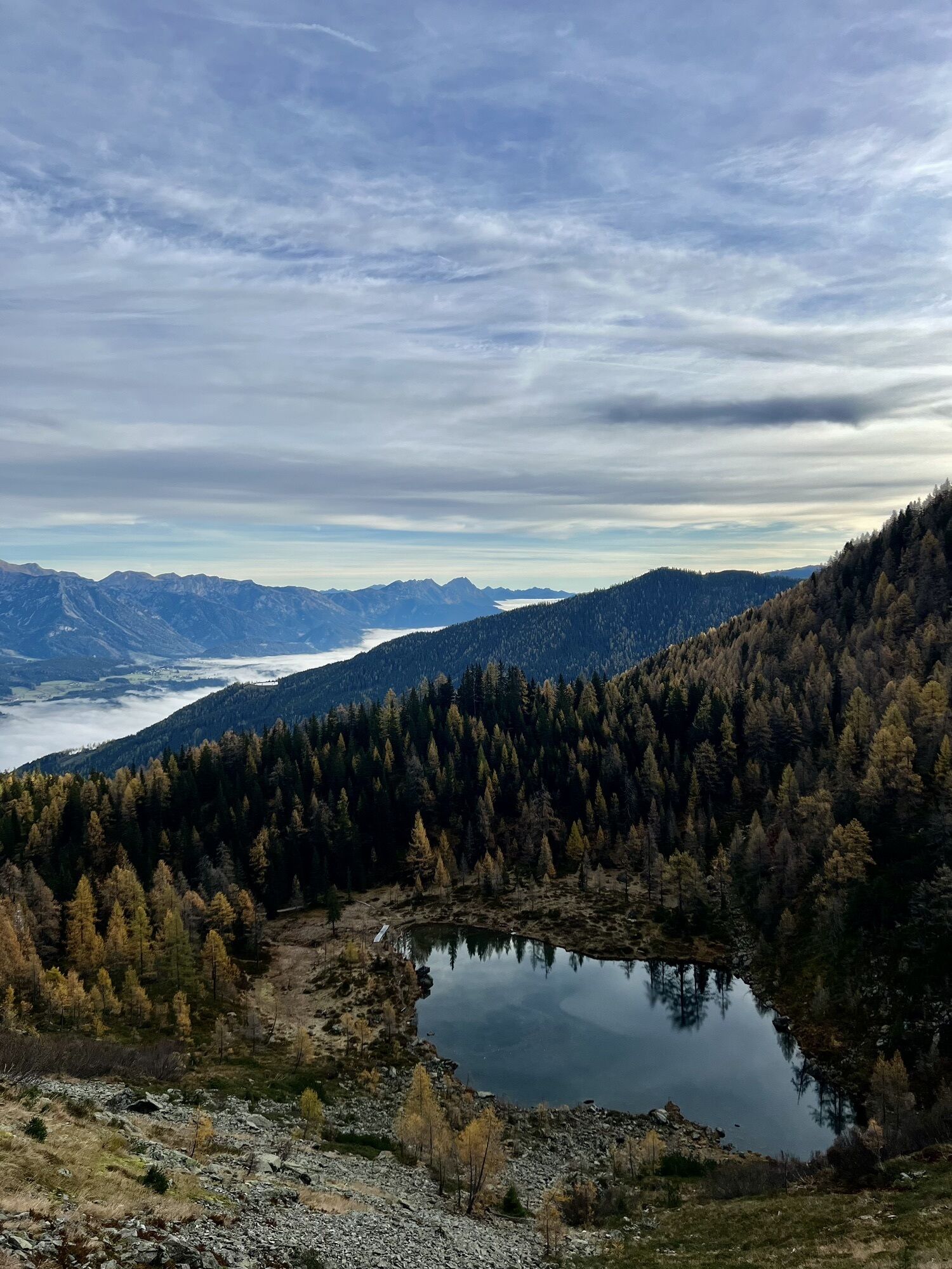
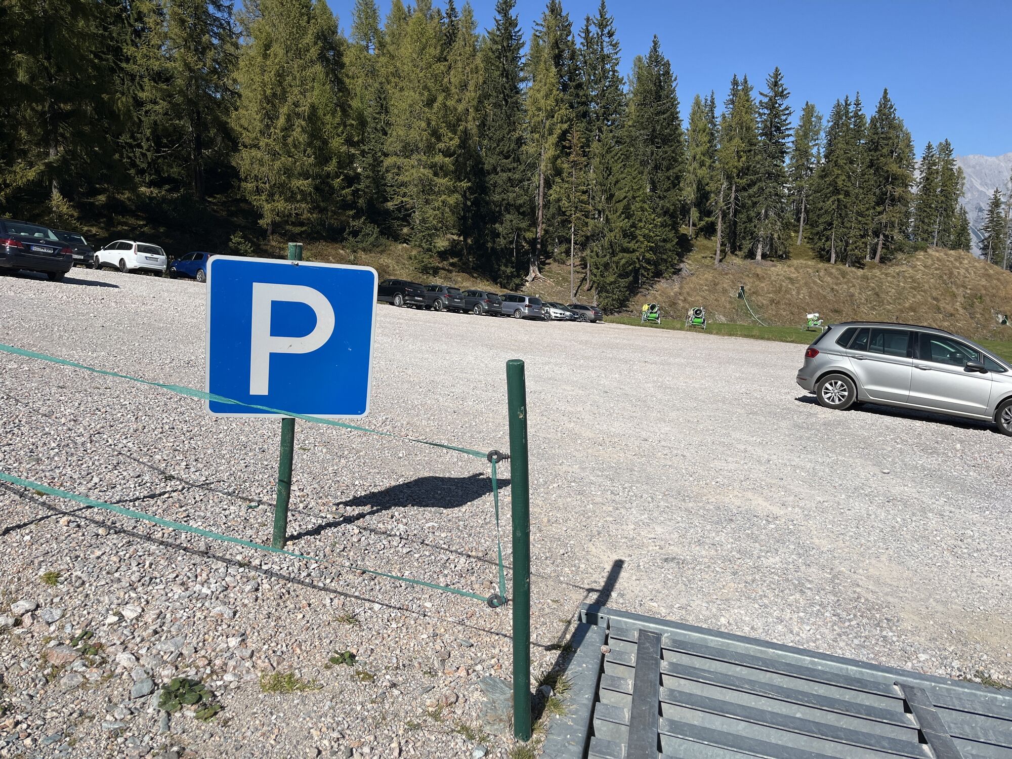
Schnepf'n Alm
(1.187 m)
Restaurant
0,0 km
Preuneggstüberl
(1.320 m)
Restaurant
1,6 km
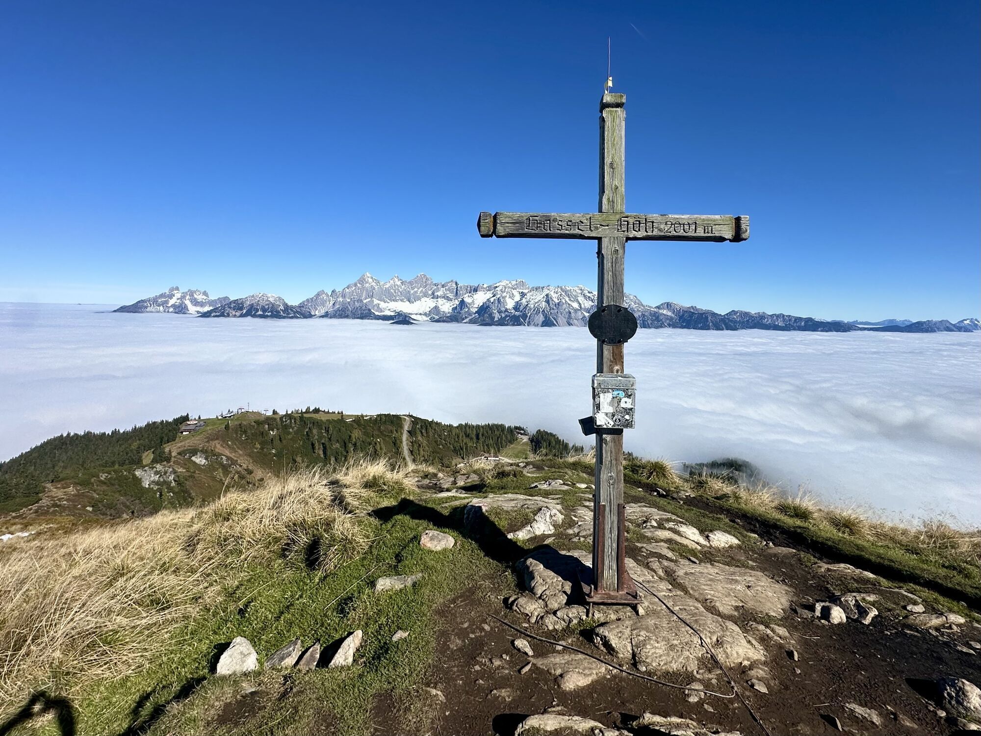
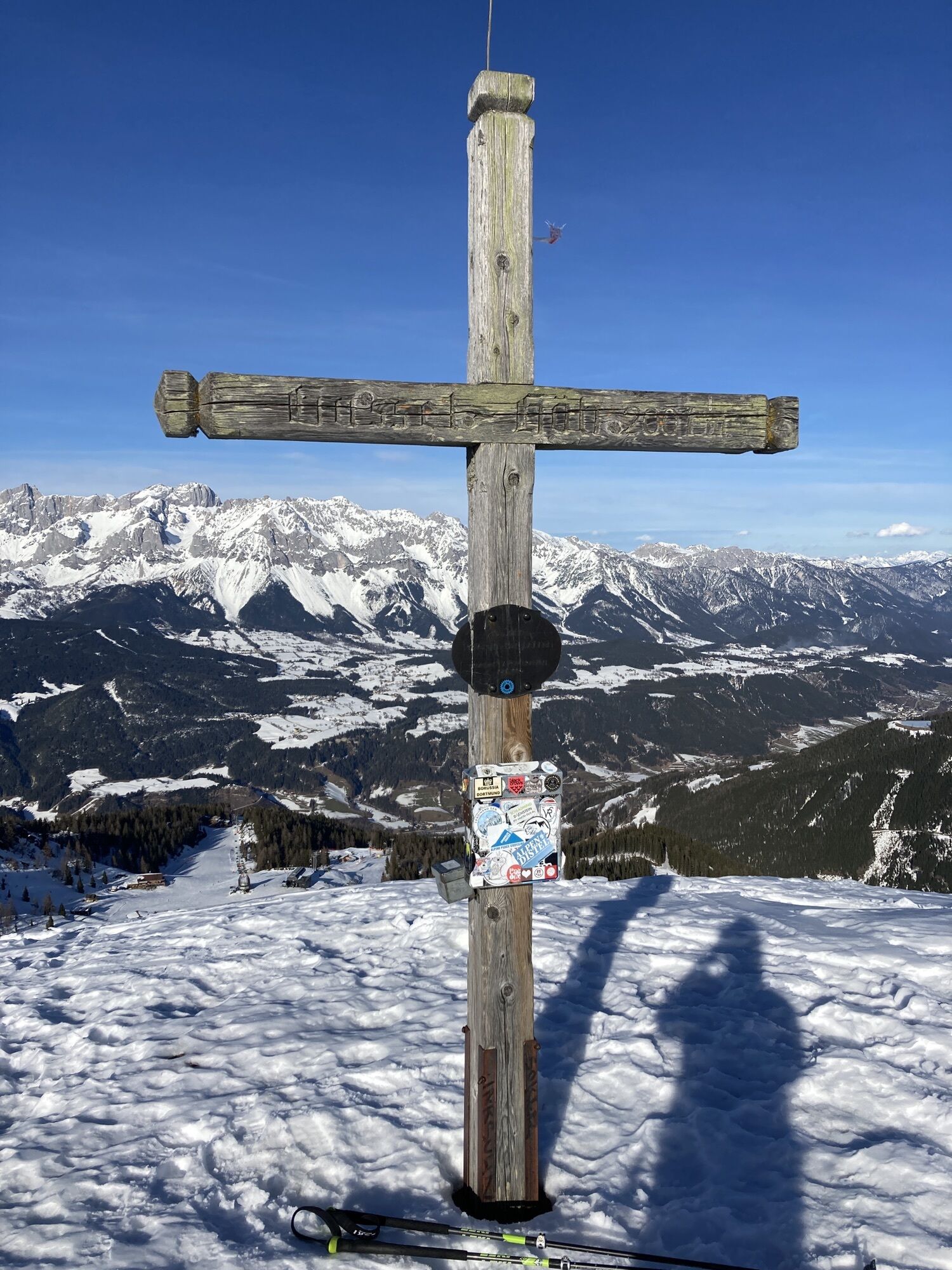
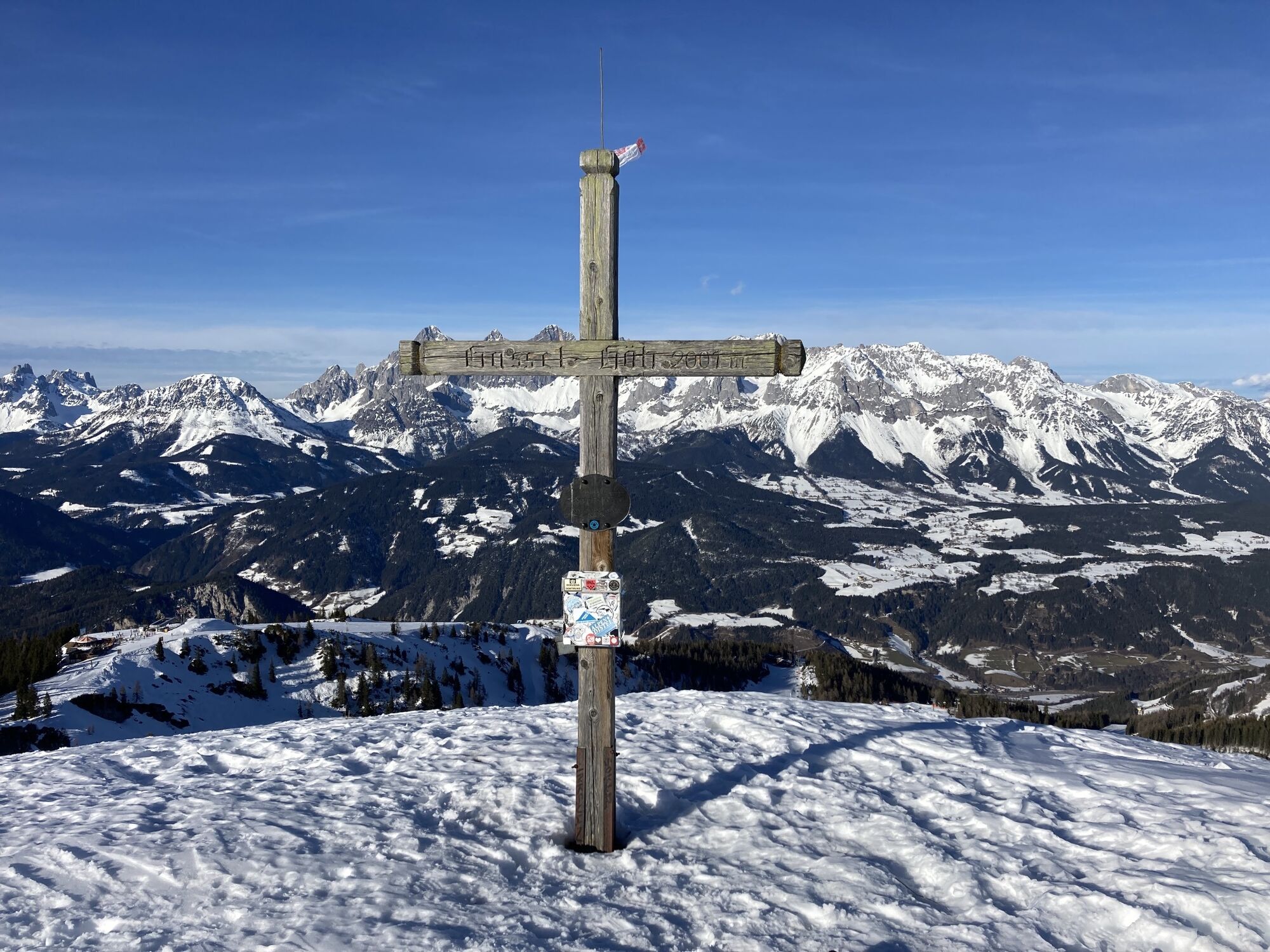
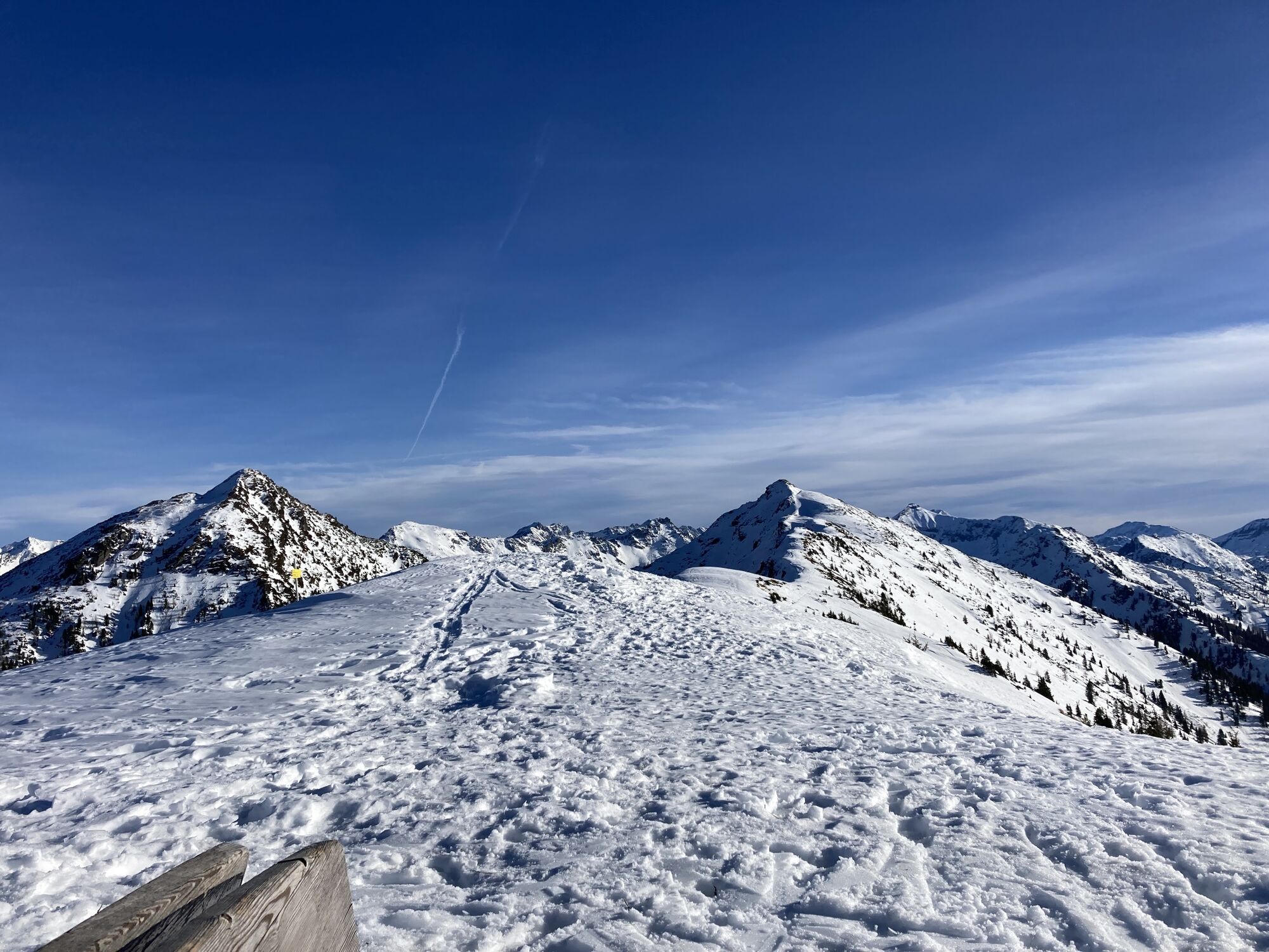
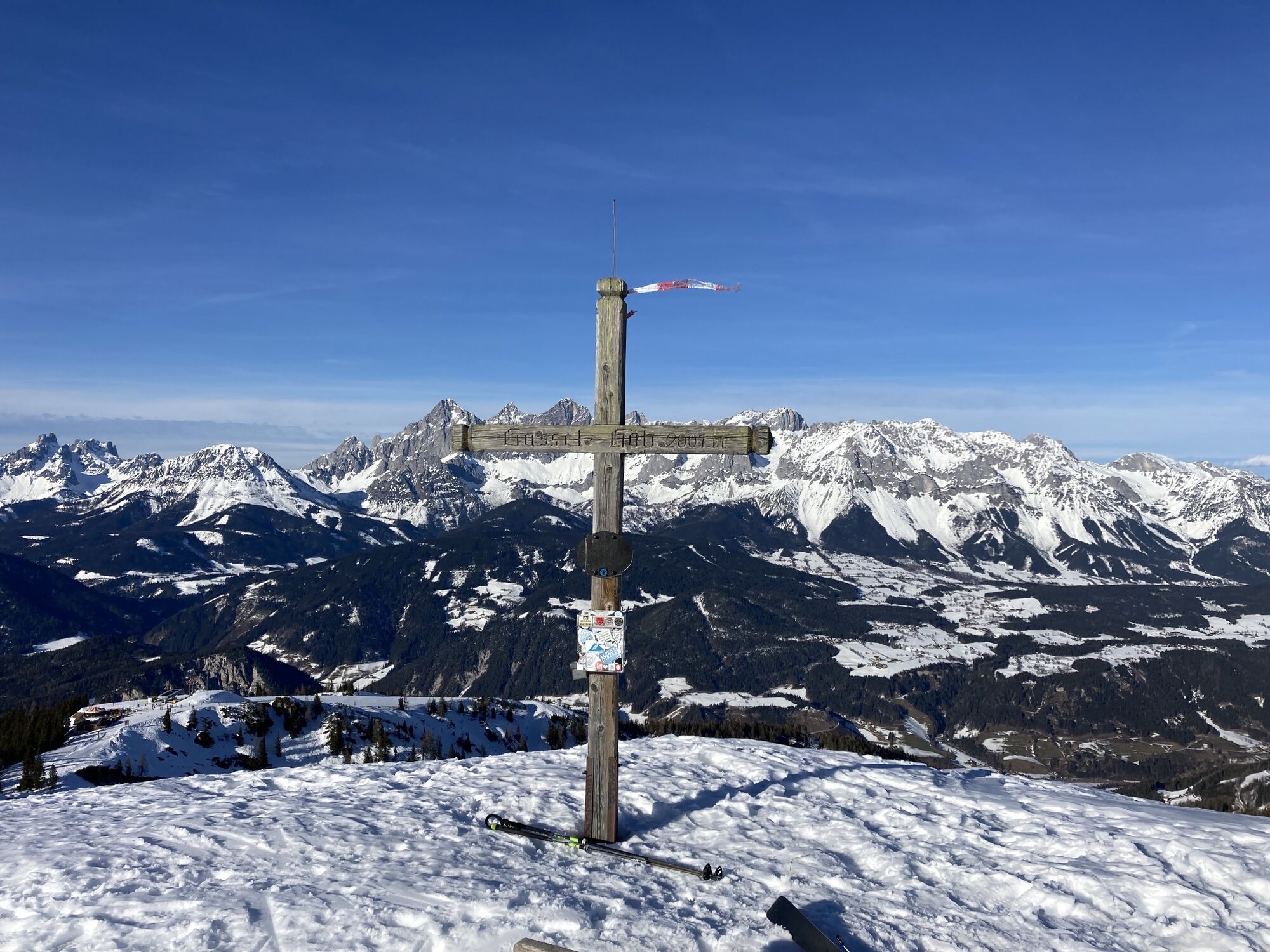
Schober
(2.133 m)
Summit
6,4 km
Preuneggstüberl
(1.320 m)
Restaurant
11,2 km
Schnepf'n Alm
(1.187 m)
Restaurant
12,9 km
Route
Schnepf'n Alm - Preuneggstüberl - Schober
heavy
Hiking
12,93
km
Schnepf'n Alm
(1.187 m)
Restaurant
0,0 km
Preuneggstüberl
(1.320 m)
Restaurant
1,6 km
Schober
(2.133 m)
Summit
6,4 km
Preuneggstüberl
(1.320 m)
Restaurant
11,2 km
Schnepf'n Alm
(1.187 m)
Restaurant
12,9 km
No reviews yet
Popular tours in the neighbourhood
- 4,6
Preintalerhütte über den Alpinsteig Höll
mediumThematic route13,3 km - 4,3
Filzmoos: Rötelstein (Rettenstein)
Hiking9,50 km - 4,4
Krahbergzinken - Gipfelglück auf 2.134 m
mediumHiking5,58 km - 4,1
Königstour Klafferkessel
heavyHiking21,3 km - 5,0
„Top of Niedere Tauern“- 2 tages Tour - Wilde Wasser - Greifenberg 2618m - Hochgolling 2862m
mediumHiking35,5 km - 4,2
Ursprungquellweg - von der Ursprungalm zu den Giglachseen
lightThematic route9,63 km - 4,8
Reiteralmrunde
lightHiking5,71 km - 5,0
Hoch hinaus auf den "Greifenberg 2615m" - Rundwanderweg
mediumHiking20,4 km - 4,1
Reiteralm Höhen-Rundweg
mediumHiking5,50 km - 4,8
Alpinsteig Höll zum Riesachsee
mediumThematic route5,05 km
Hiking & Tracking

Over 550.000 tour suggestions, detailed maps and an intuitive route planner make the app a must-have for all nature enthusiasts.

Don't miss out on offers and inspiration for your next holiday
Subscribe to the newsletter
Error
An error has occurred. Please try again.Thank you for your registration
Your e-mail address has been added to the mailing list.
Tours throughout Europe
Austria Switzerland Germany Italy Slovenia France Netherlands Belgium Poland Liechtenstein Czechia Slovakia Spain Croatia Bosnia and Herzegovina Luxembourg Andorra Portugal Iceland United Kingdom Ireland Greece Albania North Macedonia Malta Norway Montenegro Moldova Kosovo Hungary San Marino Romania Estonia Latvia Belarus Cyprus Lithuania Serbia Bulgaria Monaco Denmark Sweden Finland