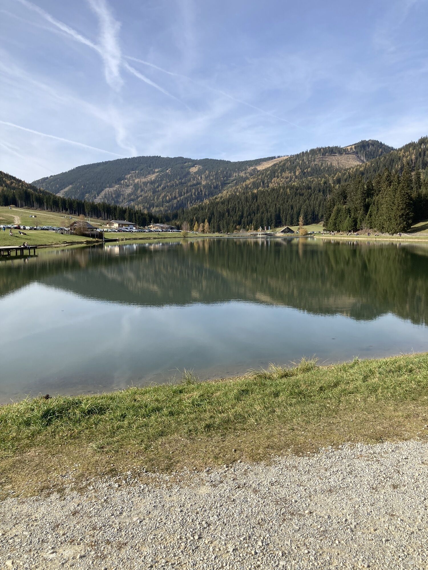
Fladnitz an der Teichalm - Heulantsch
light
Navigate
Navigate
Get this tour on your mobile
Fladnitz an der Teichalm - Heulantsch
light
Hiking
3,41
km
Scan the QR code and start navigation in the bergfex app

Hiking & Tracking


Distance
3,41
km
Duration
01:11
h
Ascent
245
m
Sea level
1.217 -
1.464
m
Track download
Fladnitz an der Teichalm - Heulantsch
light
Hiking
3,41
km


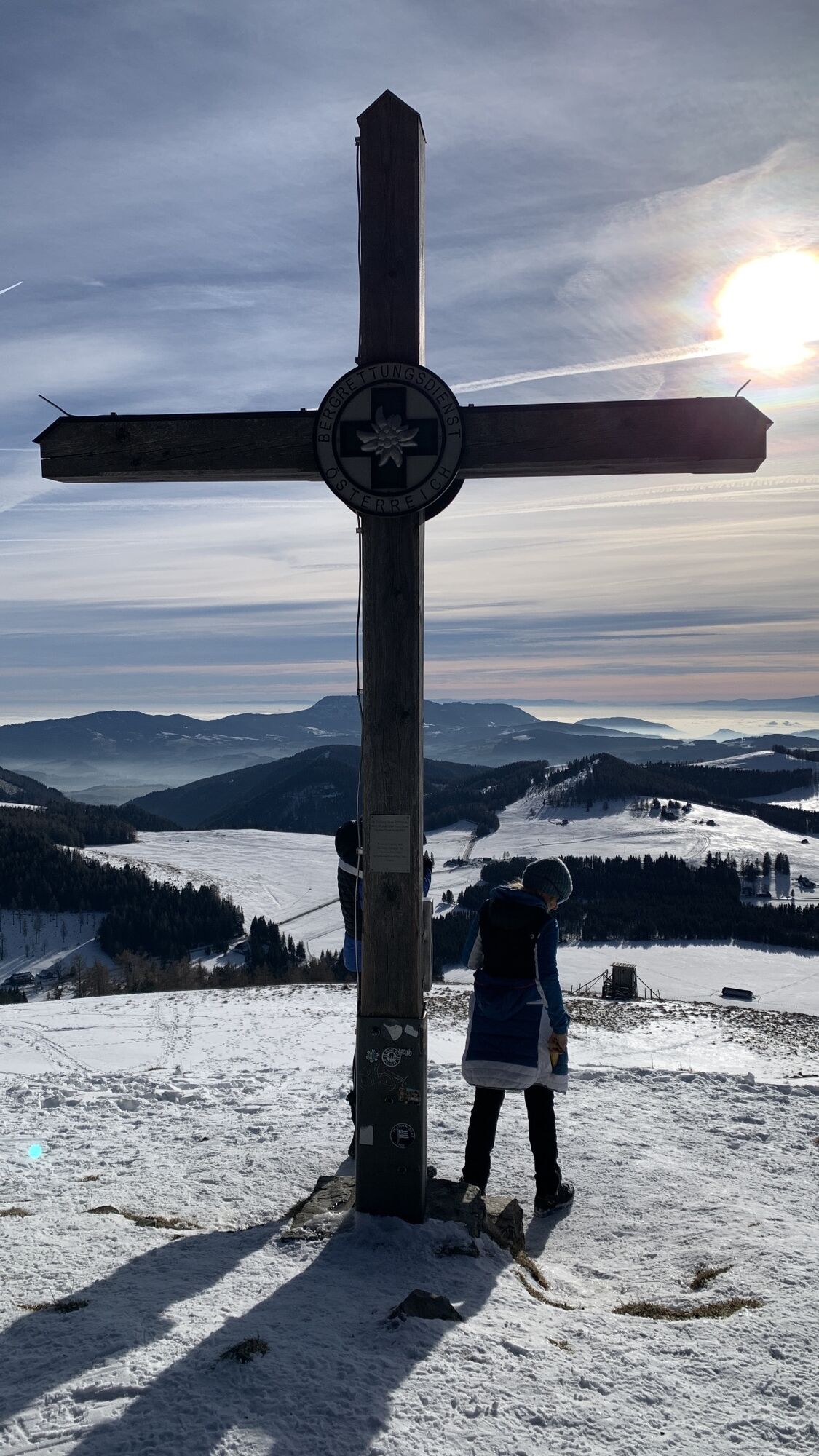
Route
Valuations
1 Comment
Bergfex User
15. Jul. 2024
Was a bit small but still fun
Popular tours in the neighbourhood
- 4,5
Grosse Patscha-Runde
mediumHiking8,20 km - 4,0
Fladnitz an der Teichalm: Teichalm - Hochlantsch
Hiking3,69 km - 4,3
Plankogel-Rundweg, Sommeralm
lightHiking6,30 km - 4,5
Siebenkögel-Rundweg, Sommeralm
mediumHiking12,6 km - 4,7
Teichalm - Hochlantsch - Schüsserlbrunn
mediumHiking12,6 km - 4,6
Frauenberg - Rennfeld Steiermark
lightHiking6,40 km - 4,6
Mixnitz - Drachenhöhle - Röthelstein - Rote Wand - Tyrnauer Alm
mediumHiking14,6 km - 4,7
Rote Wand über Tyrnaueralm, Teichalm
mediumHiking14,0 km - 4,2
Rote Wand
lightHiking10,9 km - 4,3
Hochlantsch-Runde, Teichalm
heavyHiking11,5 km

Hiking & Tracking

Over 550.000 tour suggestions, detailed maps and an intuitive route planner make the app a must-have for all nature enthusiasts.

Don't miss out on offers and inspiration for your next holiday
Subscribe to the newsletter
Error
An error has occurred. Please try again.Thank you for your registration
Your e-mail address has been added to the mailing list.
Tours throughout Europe
Austria Switzerland Germany Italy Slovenia France Netherlands Belgium Poland Liechtenstein Czechia Slovakia Spain Croatia Bosnia and Herzegovina Luxembourg Andorra Portugal Iceland United Kingdom Ireland Greece Albania North Macedonia Malta Norway Montenegro Moldova Kosovo Hungary San Marino Romania Estonia Latvia Belarus Cyprus Lithuania Serbia Bulgaria Monaco Denmark Sweden Finland