


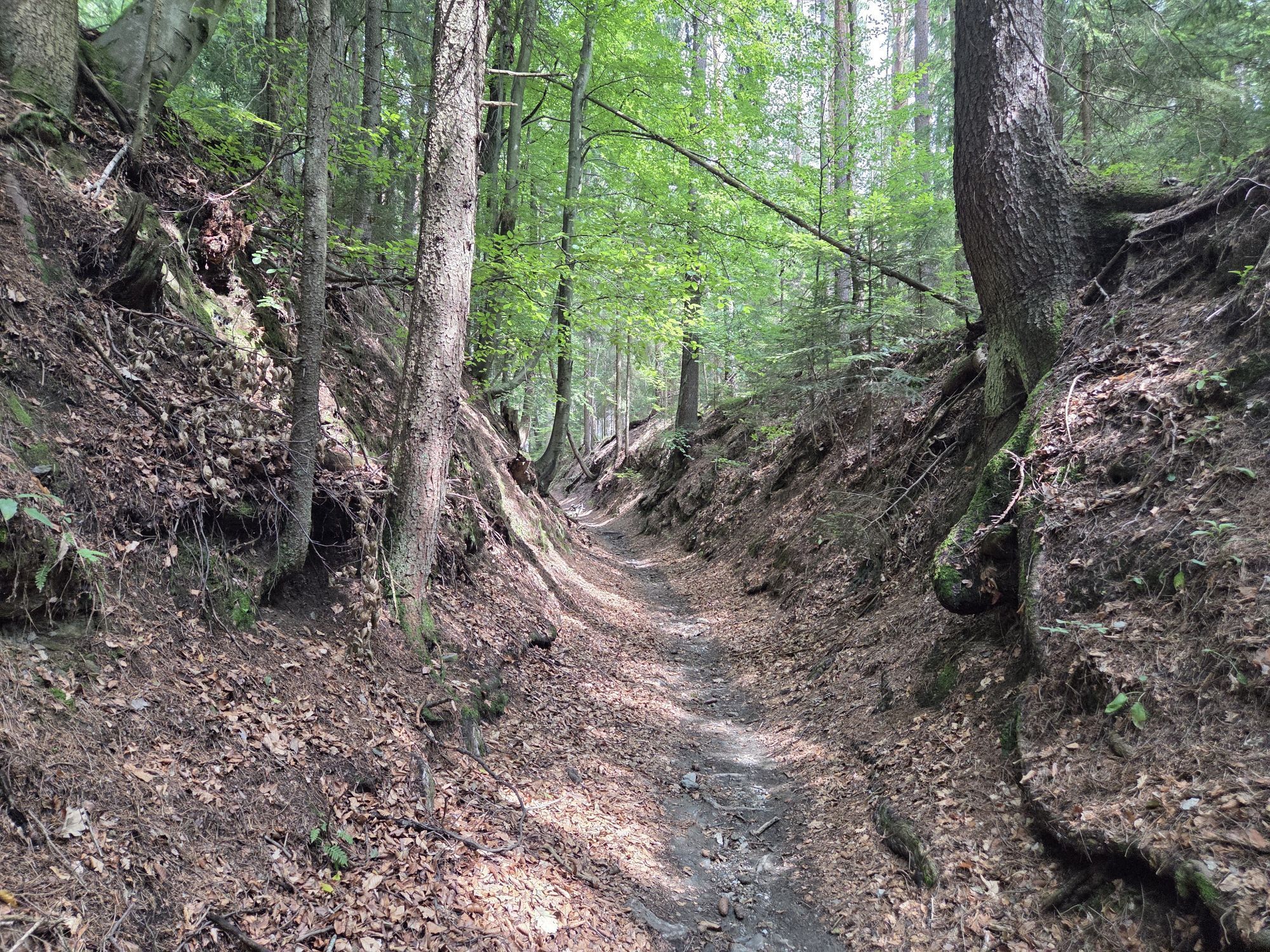
Ein netter Wanderweg um an die frische Luft zu kommen. Vom Spiel -und Grillplatz geht es anfangs eben dahin. Dann geht man bis zum höchsten Punkt des Weges 3 Kehren. Bergab in etwa das selbe.

Man kann den Weg auch in einer Direkten hinauf oder hinunter gehen
Yes
Yes
Festes Schuhwerk
Auto: Von Andritz Zentrum die "Reichstraße" zur "Stattegger Straße" fahren. Dann in die "Weinitzenstraße" einbiegen und von ihr in die "Schöckelstraße". Die "Schöckelstraße wird zur Kalkleitenstraße". Ihr einfach bis Kalkleiten folgen. In Kalkleiten bei der Schule vorbei und links. Dann nach der großen Wiese befindet sich rechts vor der nächsten Wiese der Parkplatz.
Leider gibt es seit längerem keine Buslinie mehr hinauf :(
Es gibt kostenlose Parkplätze beim Grill -und Spielplatz
Ausreichend zu trinken mitnehmen
Popular tours in the neighbourhood
- 4,7
Königgraben - Gamskogel - Bärenhöhle - Königgraben
mediumHiking5,60 km - 4,6
Kleine Raabklamm über Hohenkogl: Parkplatz vor dem Ortskern Oberdorf- Bärntal - Kleine Raabklamm - über Hohenkogl - retour nach Oberdorf
lightHiking6,91 km - 4,6
Kesselfallklamm, Steiermark
lightHiking3,30 km - 4,2
Vom Schöcklkreuz auf den Schöckl
Hiking5 km - 4,0
Große Raabklamm-Runde, Arzberg
mediumHiking13,9 km - 3,5
Eggersdorfer Planetenweg (rechts herum)
lightThematic route6,07 km - 4,6
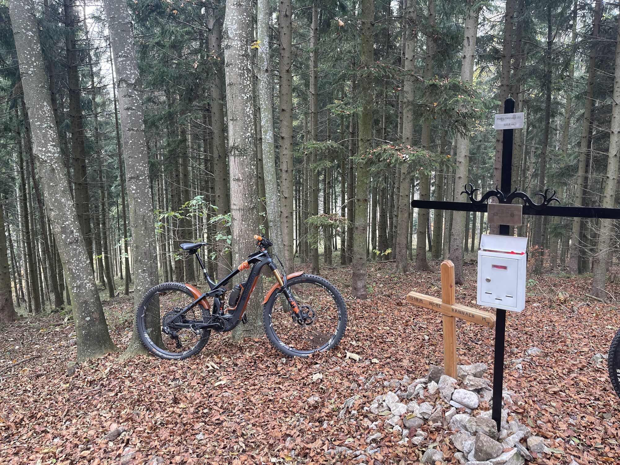
Frühlingswanderung Leber, Hohe Rannach, Leber
lightHiking6,05 km - 4,1
Erlebnisweg sebastian RELOADED®
lightHiking7,50 km - 4,4
Rein ist Vergnügen
lightHiking11,6 km - 4,7
R6 Kesselfallrundweg
mediumHiking2,57 km
Hiking & Tracking


Don't miss out on offers and inspiration for your next holiday
Your e-mail address has been added to the mailing list.