


Photos from our users
 © Marianne UnterrainerCreated on 26.06.2023
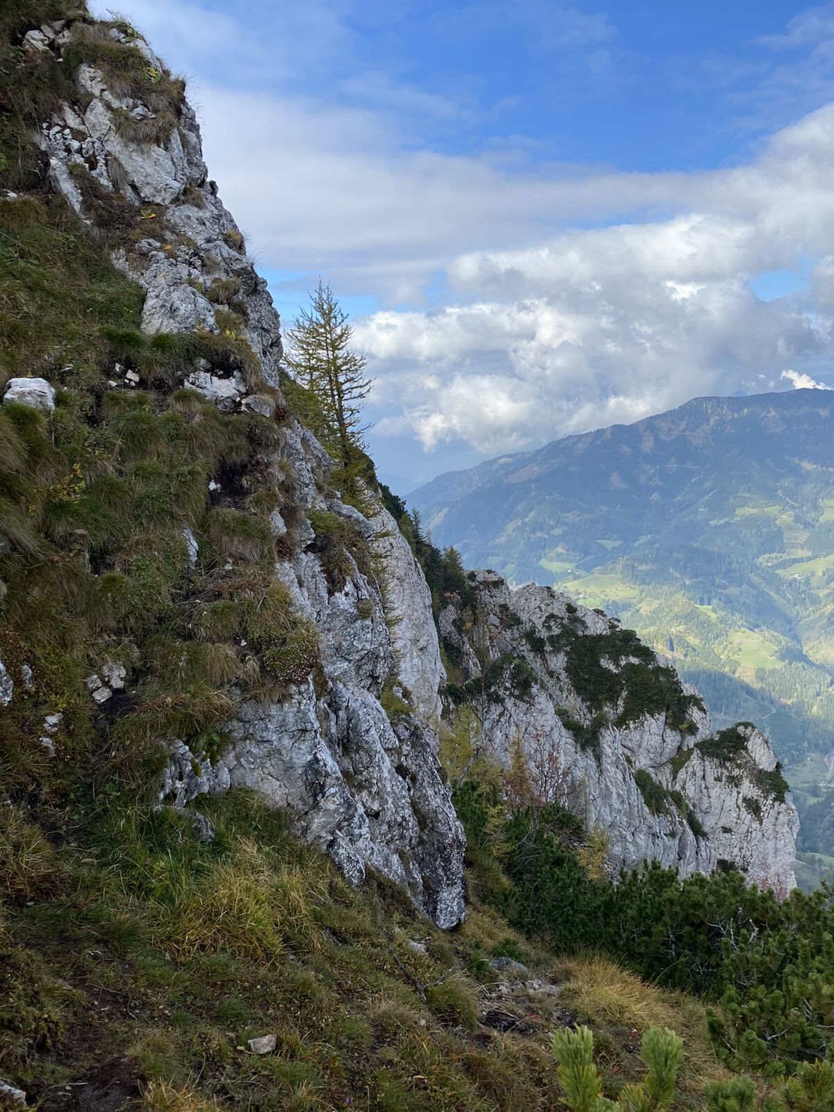
 © Richard DietzeCreated on 20.06.2023
 © Richard DietzeCreated on 20.06.2023
 © Richard DietzeCreated on 20.06.2023
 © Richard DietzeCreated on 20.06.2023
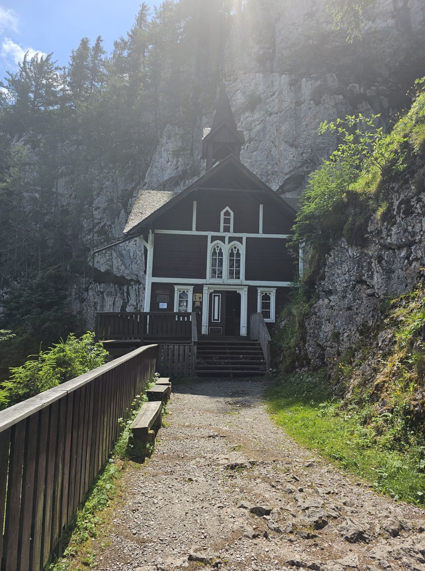
 © Richard DietzeCreated on 20.06.2023
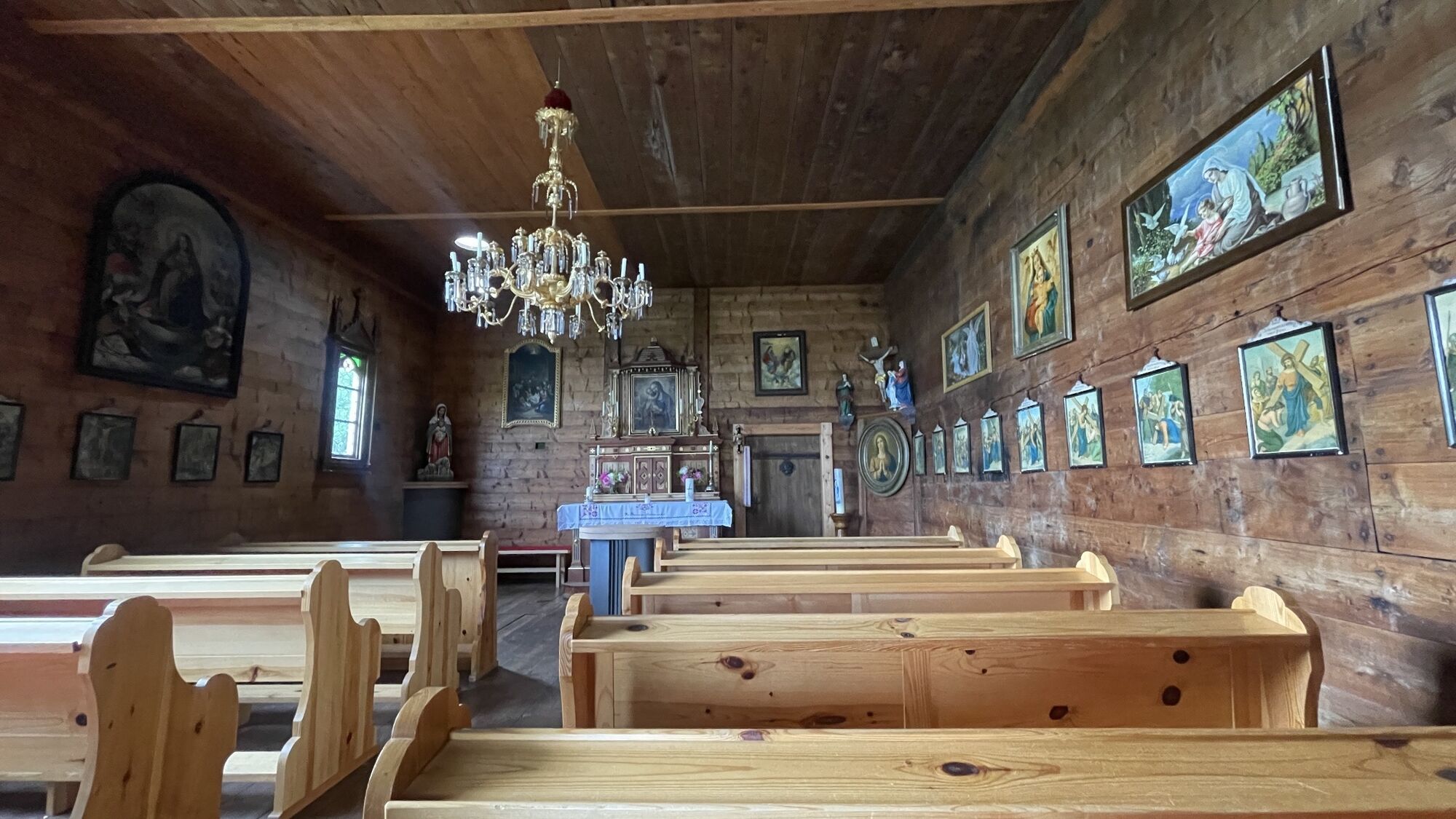
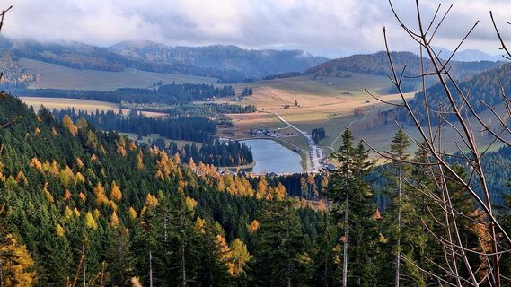
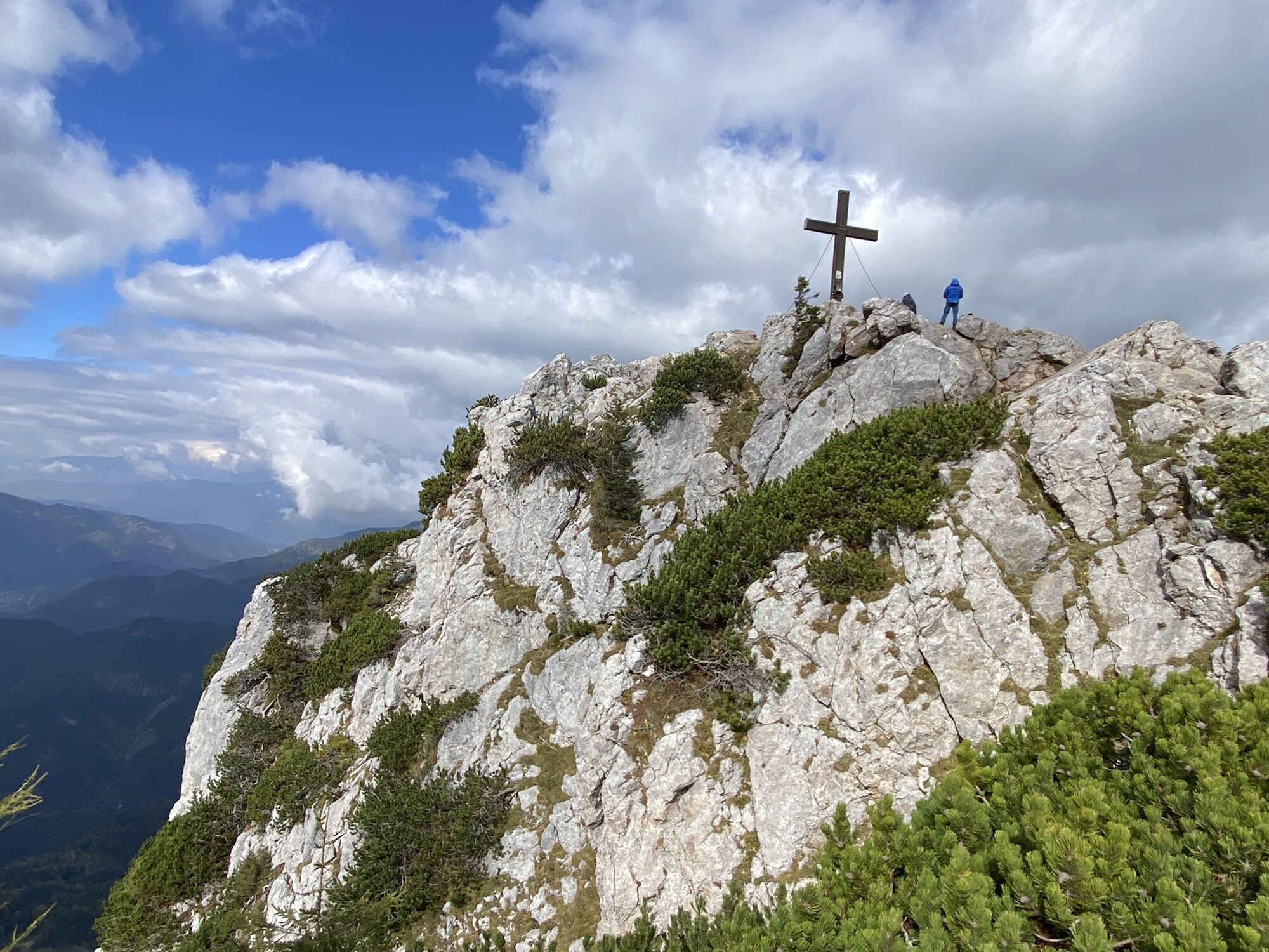
 © Regina FleischmannCreated on 01.11.2025
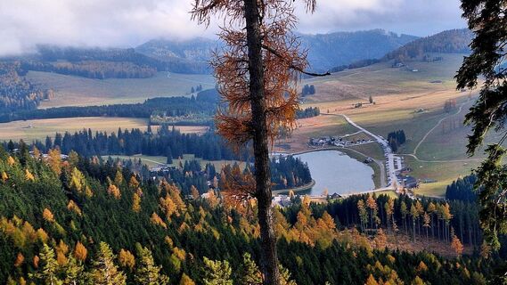 © Regina FleischmannCreated on 01.11.2025
 © Regina FleischmannCreated on 01.11.2025
 © Regina FleischmannCreated on 01.11.2025
 © Regina FleischmannCreated on 01.11.2025
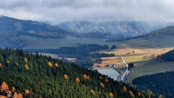 © Regina FleischmannCreated on 01.11.2025
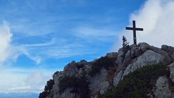 © Regina FleischmannCreated on 01.11.2025
 © Regina FleischmannCreated on 01.11.2025
 © Regina FleischmannCreated on 01.11.2025
 © Regina FleischmannCreated on 01.11.2025
 © Regina FleischmannCreated on 01.11.2025
 © Regina FleischmannCreated on 01.11.2025
 © Regina FleischmannCreated on 01.11.2025
 © Regina FleischmannCreated on 01.11.2025
 © Regina FleischmannCreated on 01.11.2025
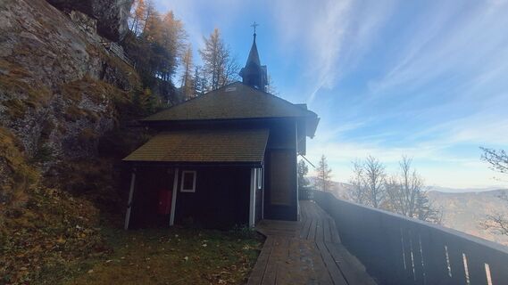 © Regina FleischmannCreated on 01.11.2025
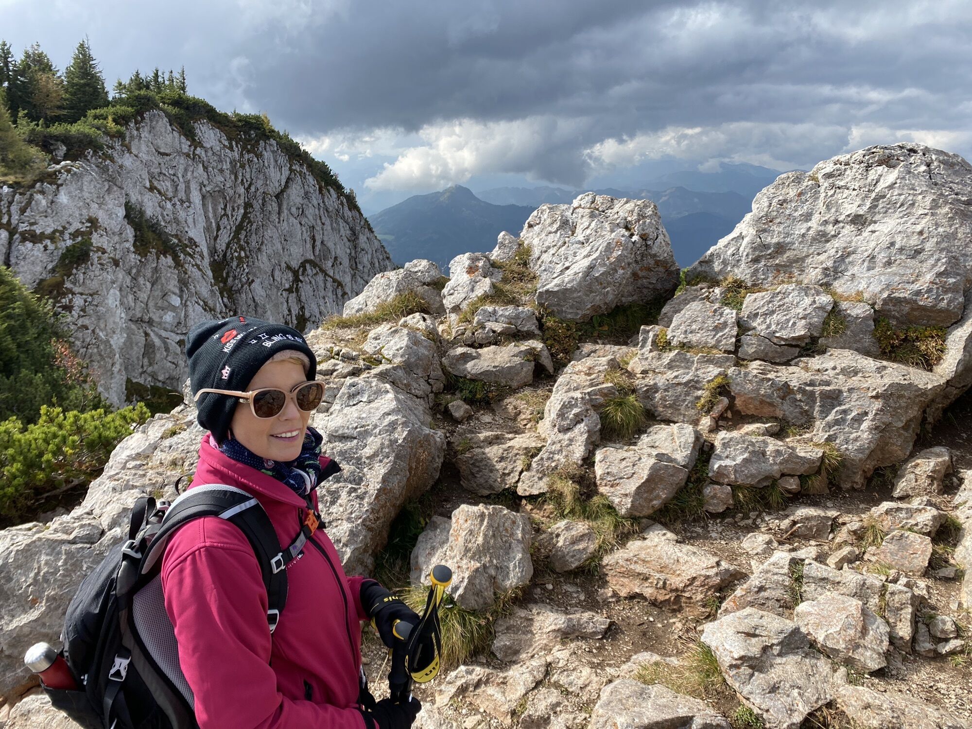
 © MariettaCreated on 28.10.2025
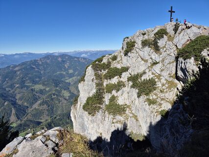 © Sabrina WachernigCreated on 12.10.2025
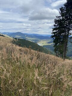 © MariettaCreated on 10.10.2025
 © MariettaCreated on 10.10.2025
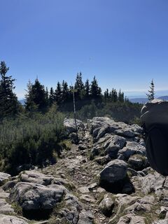
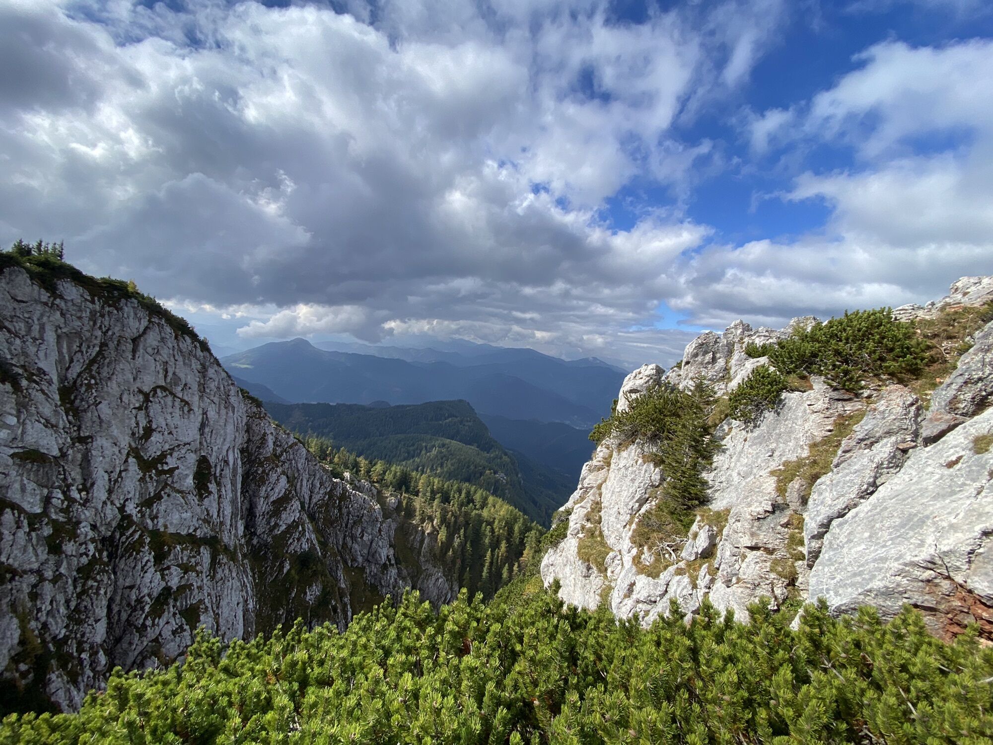
 © Maximilian ZechnerCreated on 20.09.2025
 © Maximilian ZechnerCreated on 20.09.2025
 © Maximilian ZechnerCreated on 20.09.2025
 © Maximilian ZechnerCreated on 20.09.2025
 © Maximilian ZechnerCreated on 20.09.2025
 © Maximilian ZechnerCreated on 20.09.2025
 © Maximilian ZechnerCreated on 20.09.2025
 © Zahrni78Created on 20.09.2025
 © Zahrni78Created on 20.09.2025
 © Zahrni78Created on 20.09.2025
 © Zahrni78Created on 20.09.2025
 © Christian SchwandlCreated on 18.09.2025
 © Christian SchwandlCreated on 18.09.2025
 © Peter KasparCreated on 11.09.2025
 © Peter KasparCreated on 11.09.2025
 © Peter KasparCreated on 11.09.2025
 © Peter KasparCreated on 11.09.2025
 © Peter KasparCreated on 11.09.2025
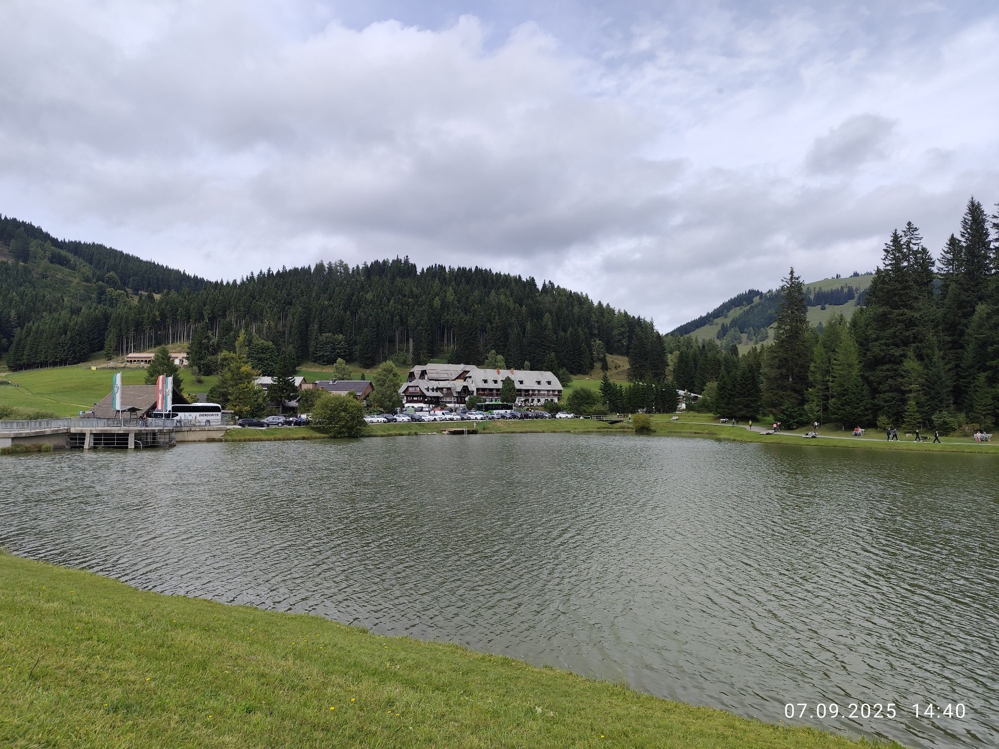
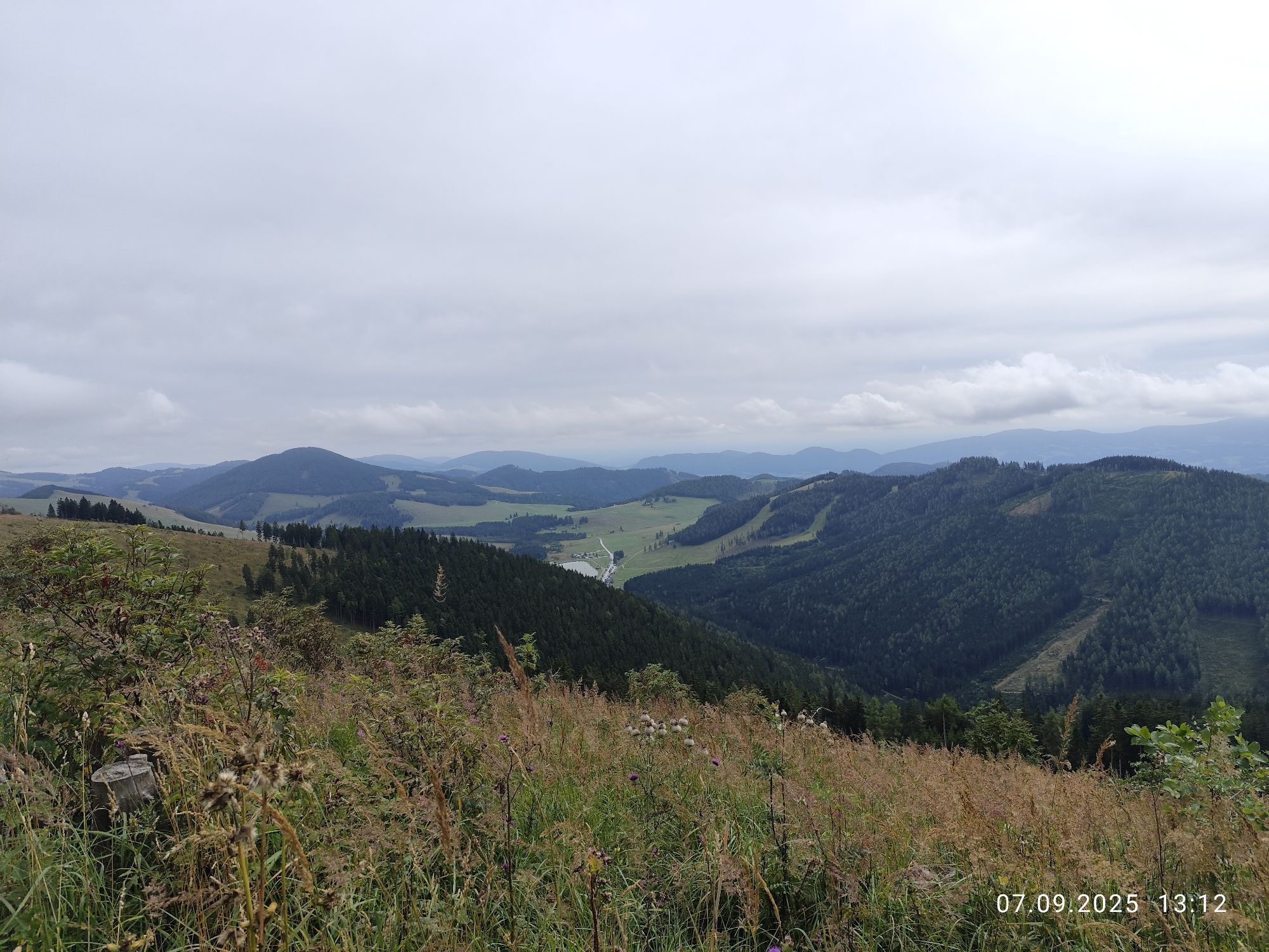
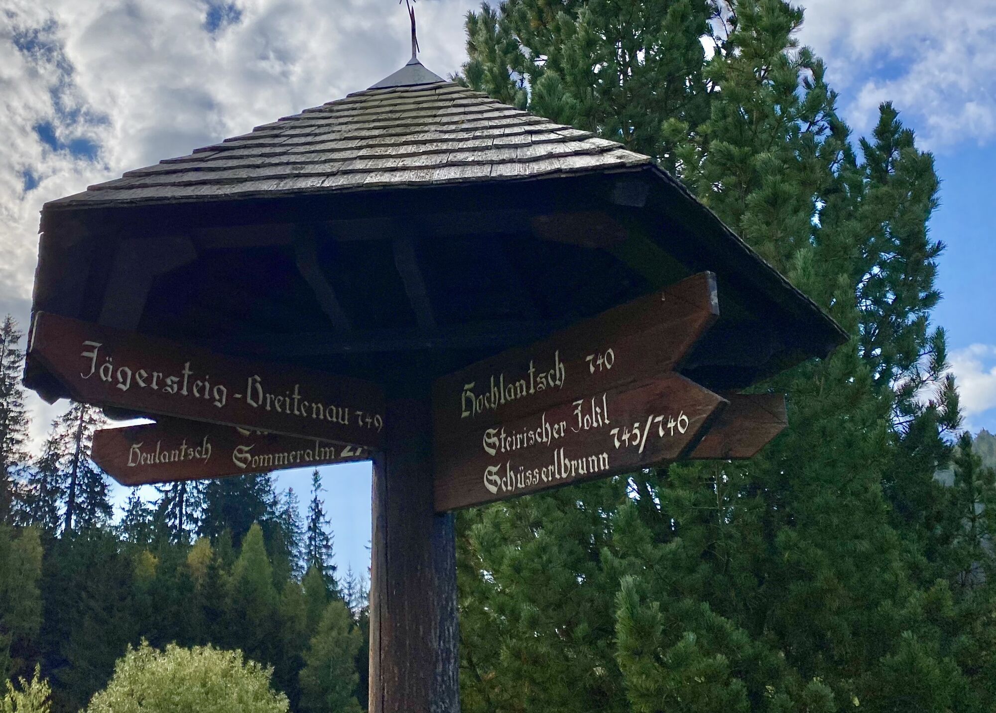
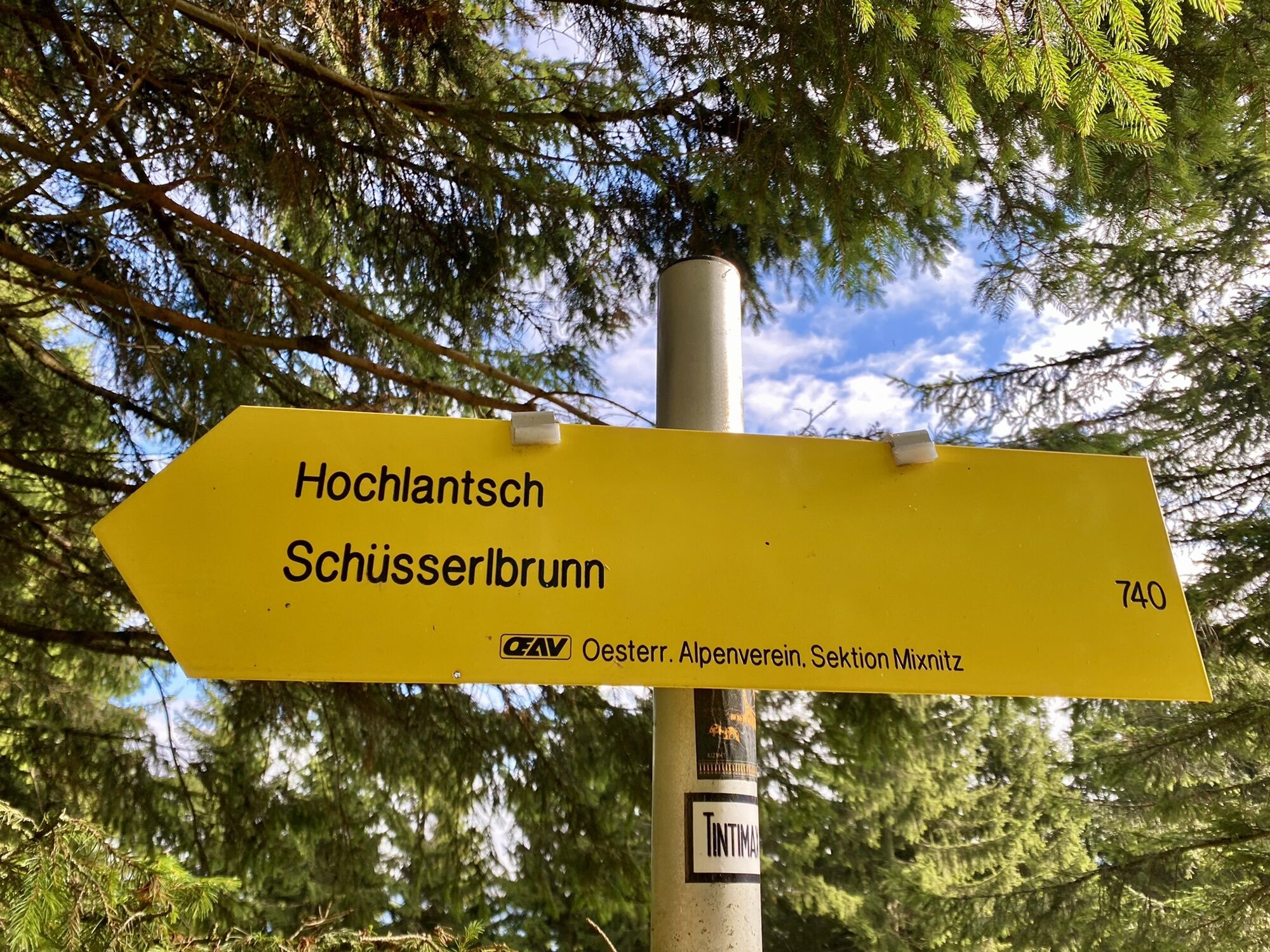
 © Barbara GalleCreated on 07.09.2025
 © Barbara GalleCreated on 07.09.2025
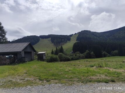 © Barbara GalleCreated on 07.09.2025
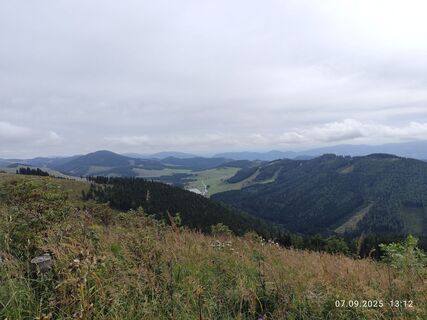 © Barbara GalleCreated on 07.09.2025

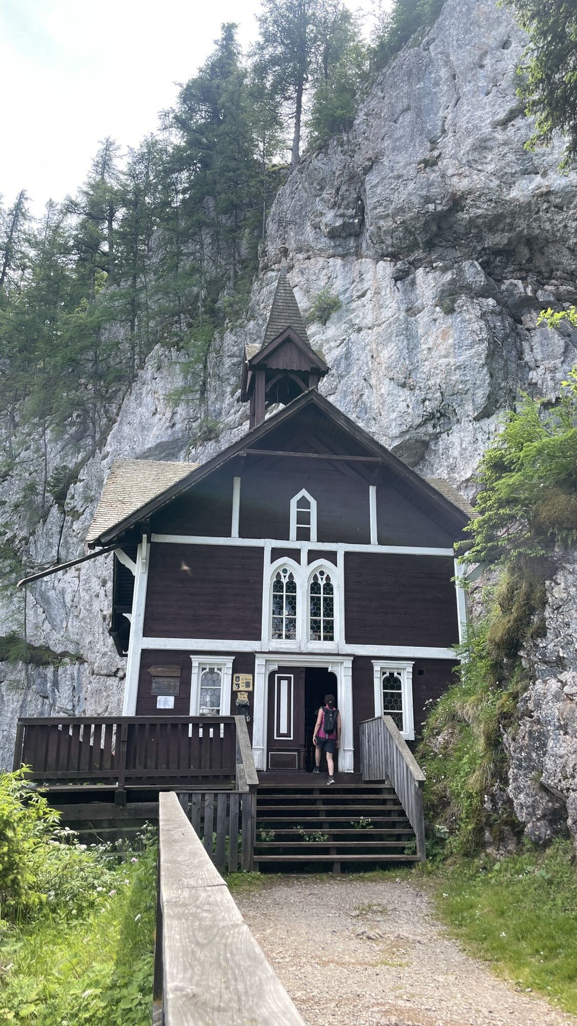
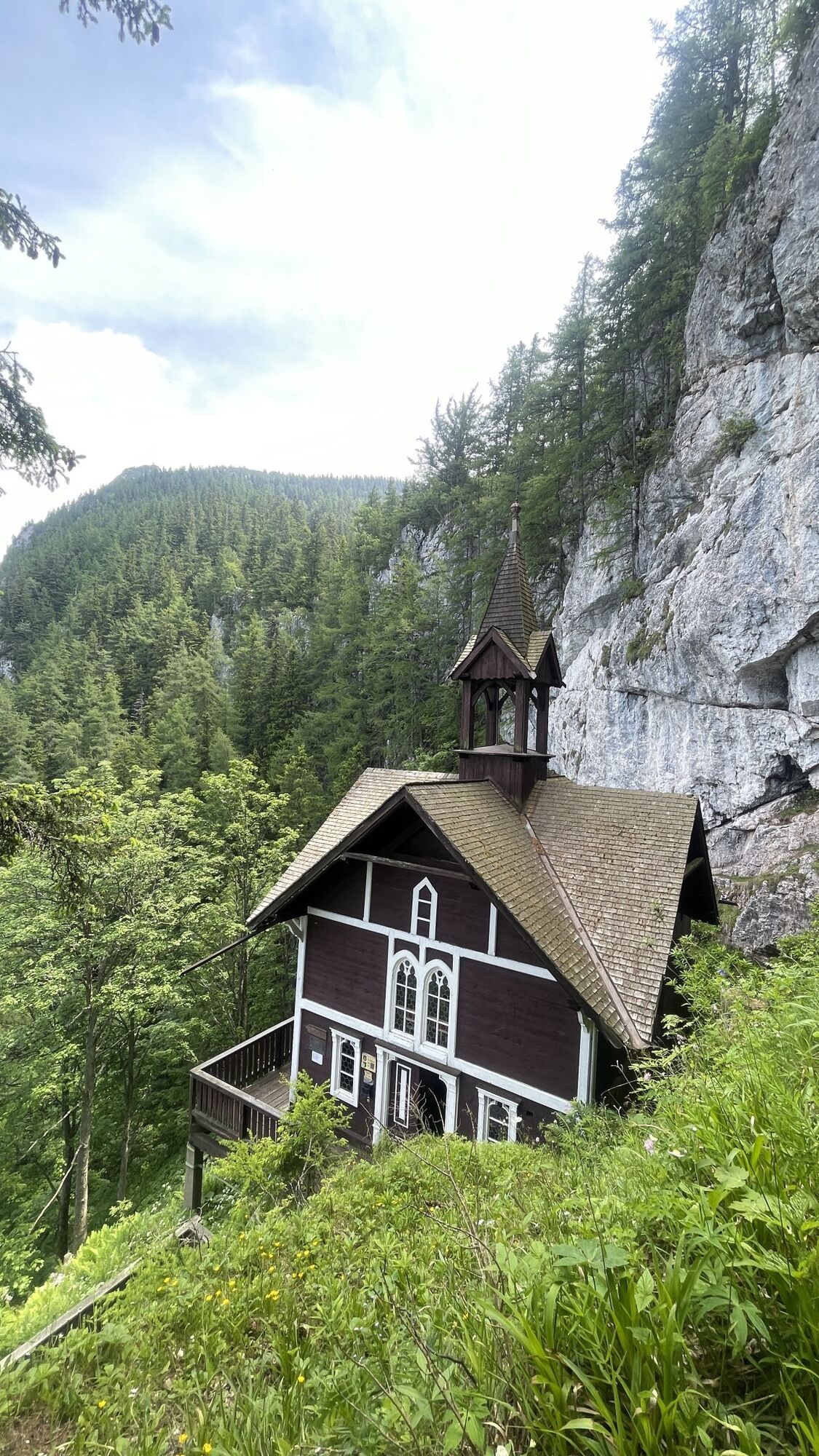


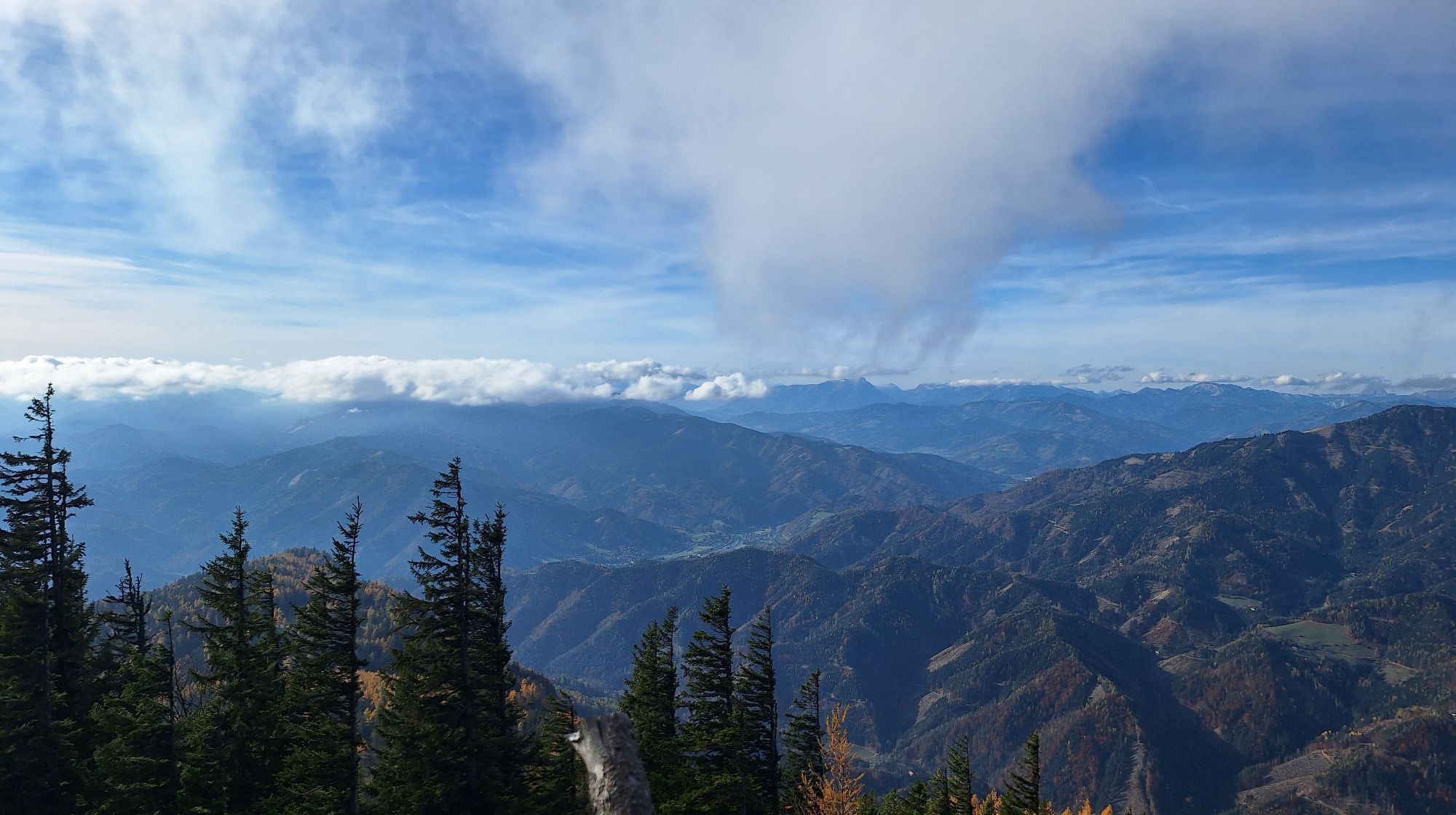

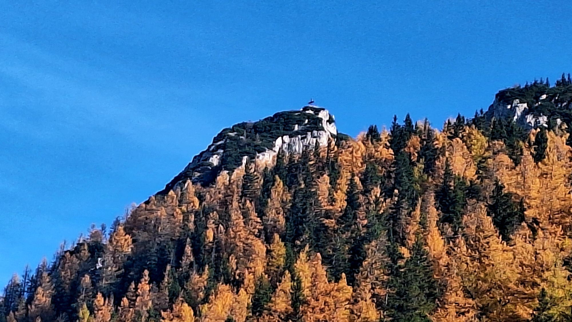
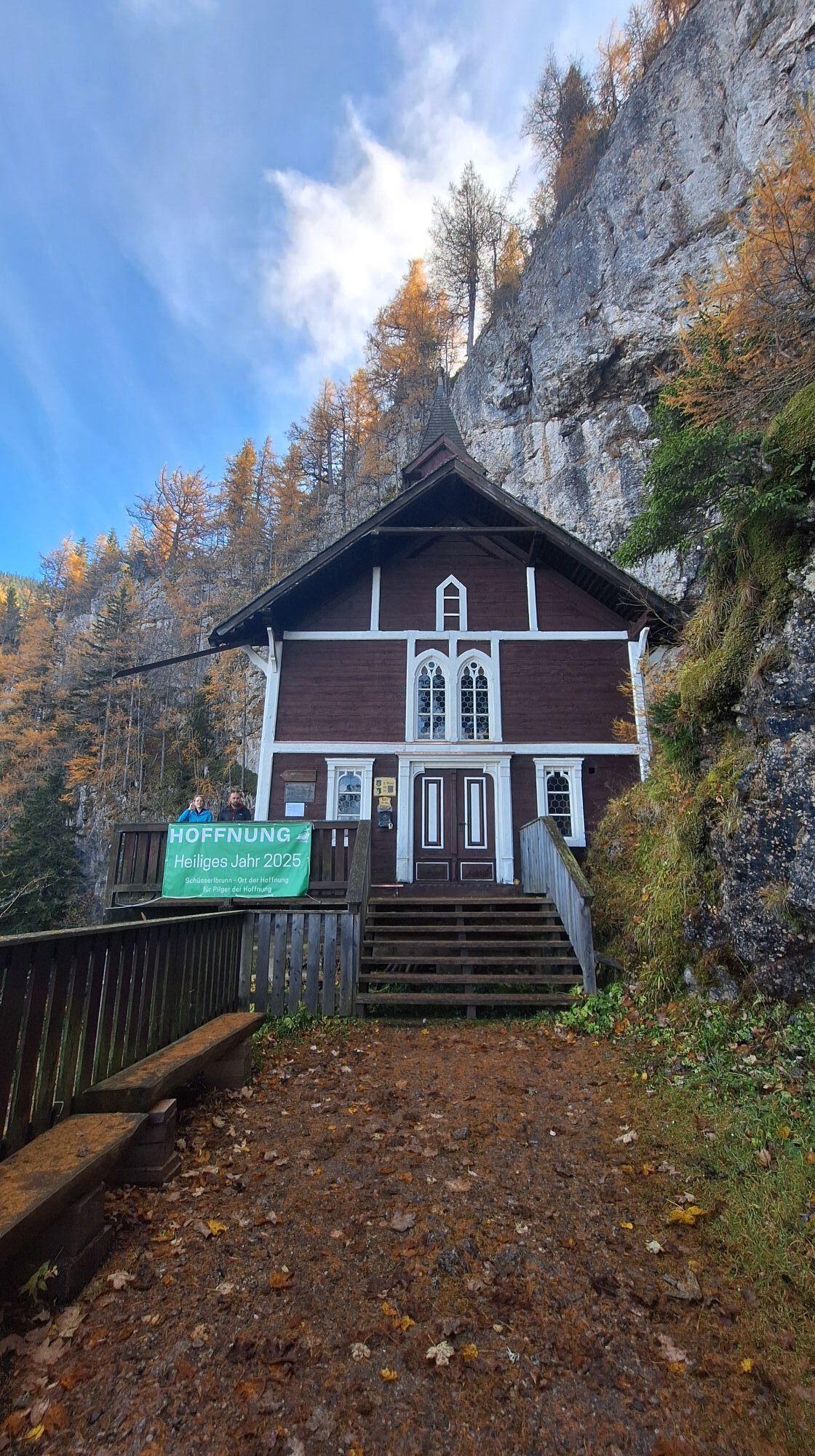
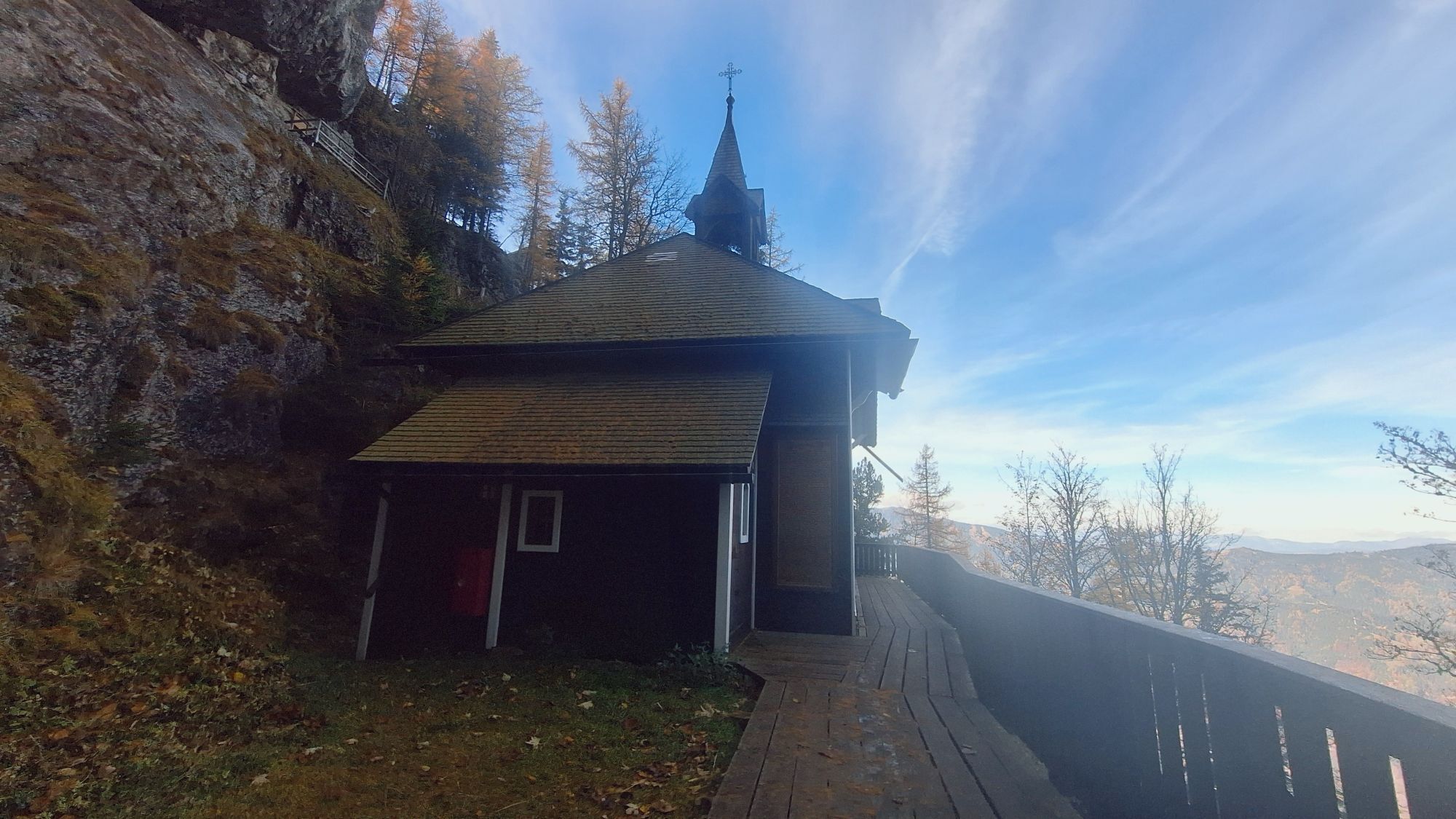


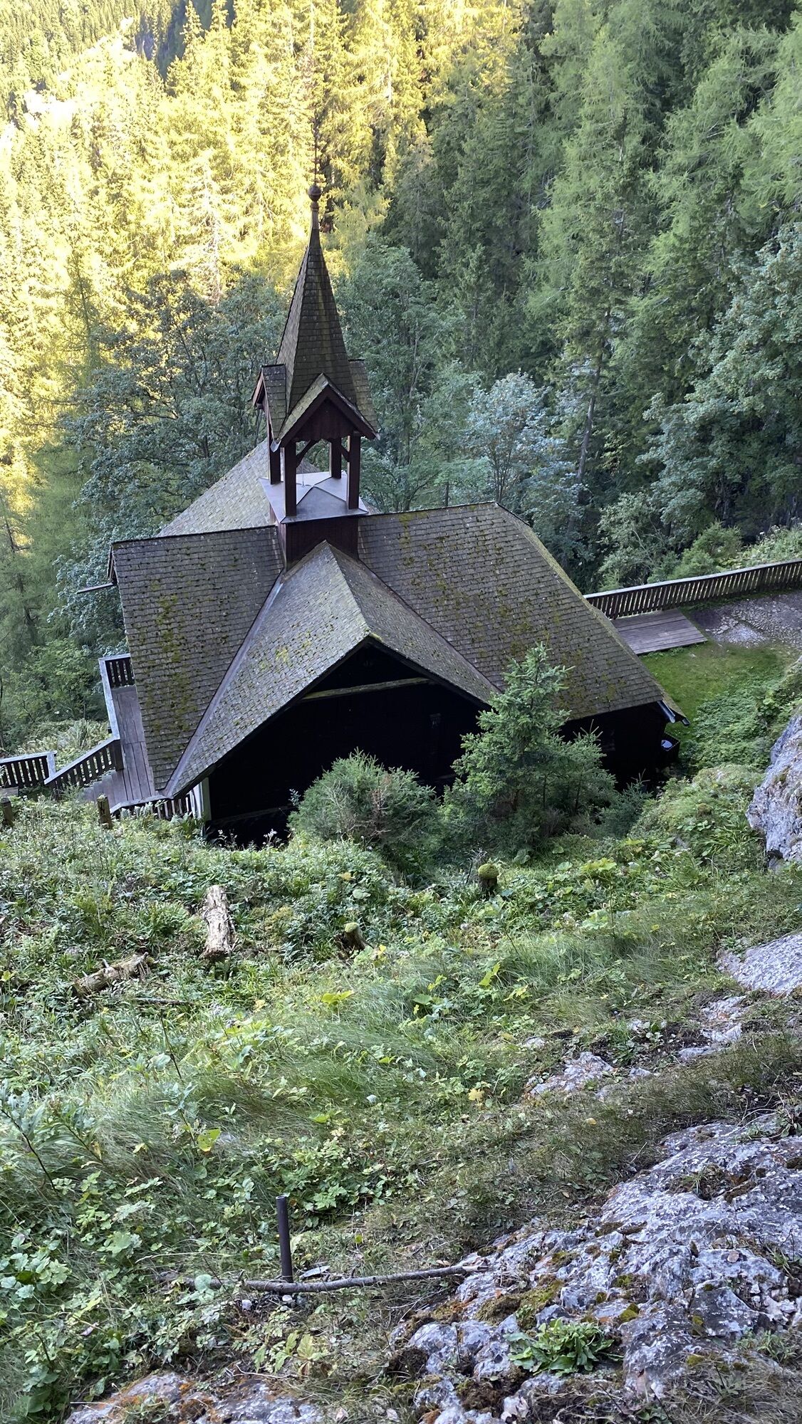

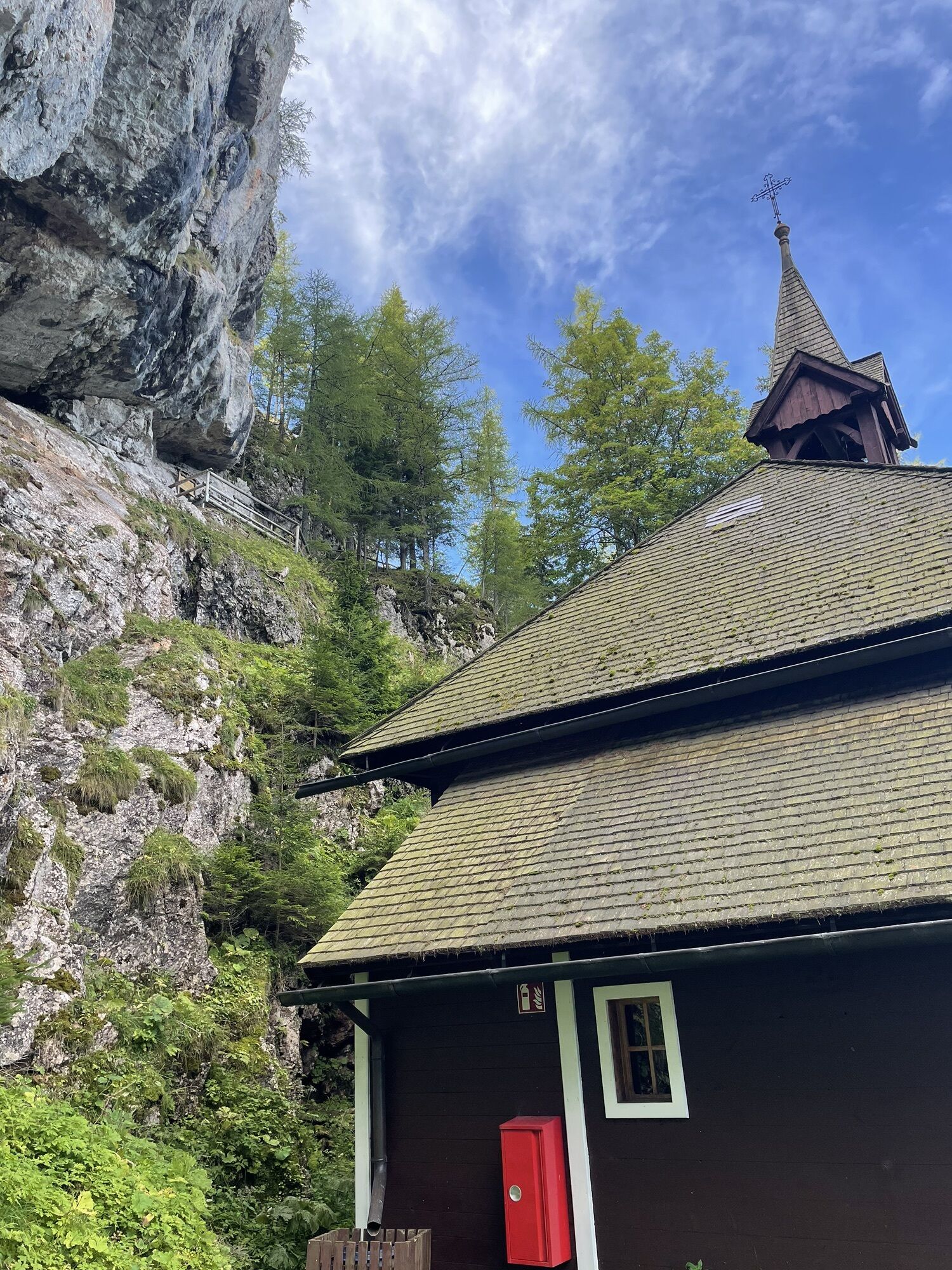


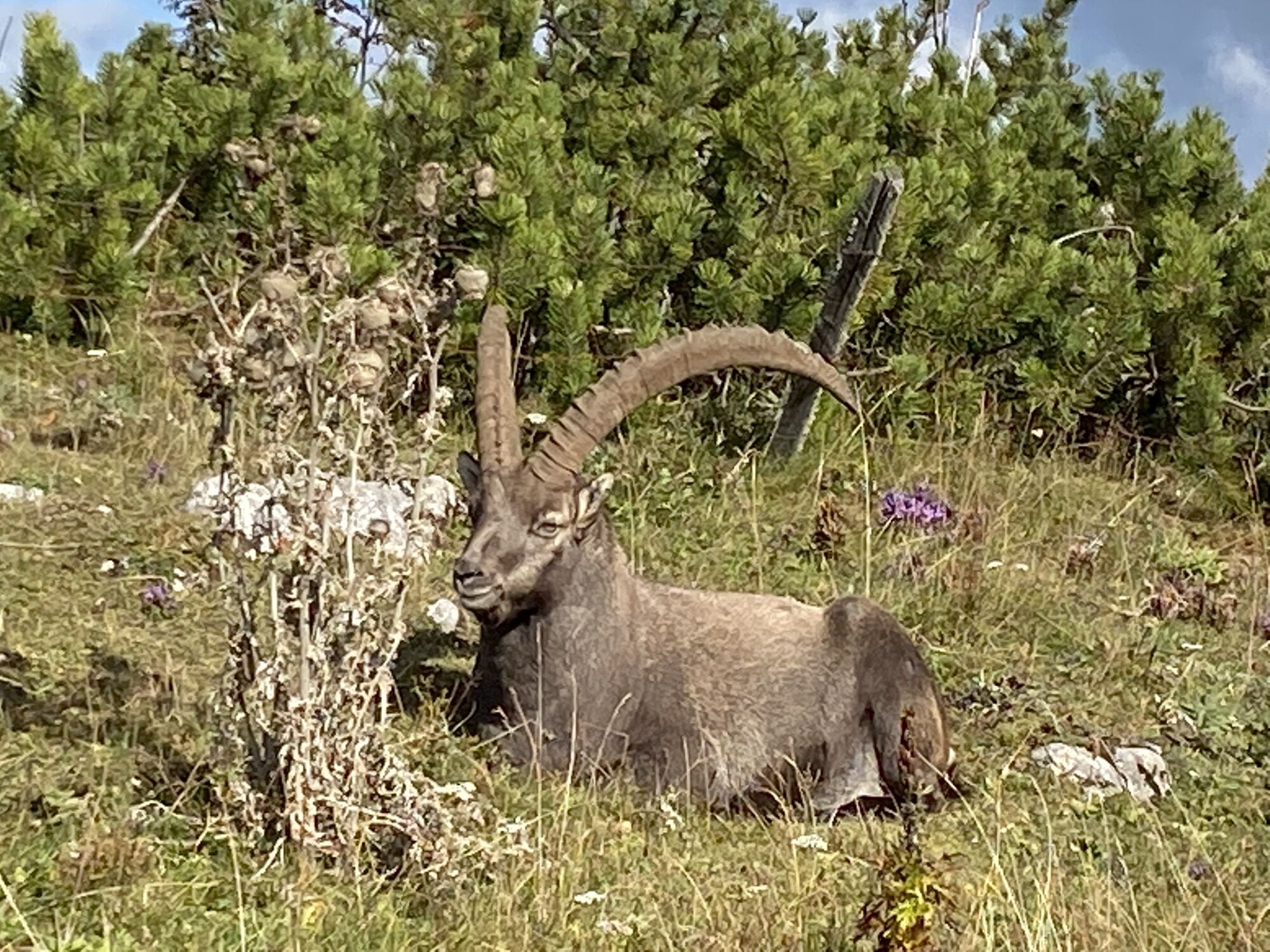
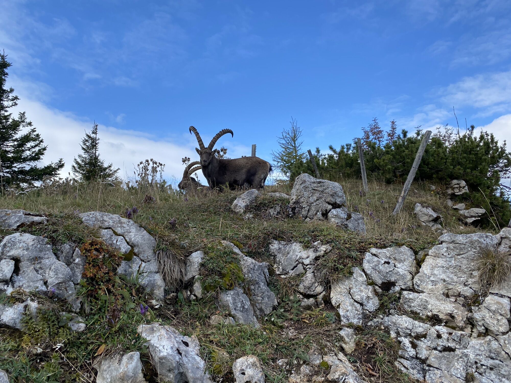
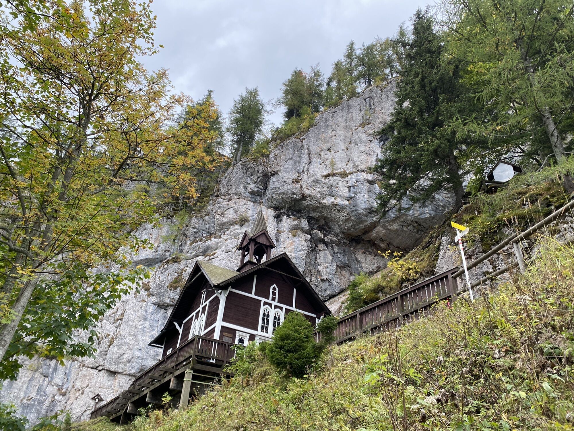
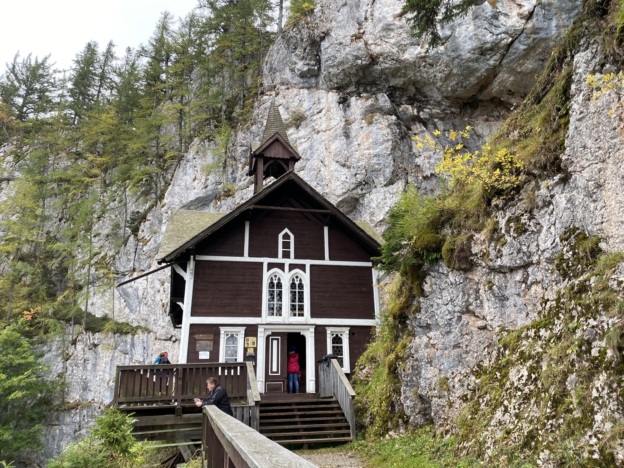
Schöne Rundwanderung mit schönen Ausblicken. Mit Glück trifft man am Hochlantsch auf Steinböcke. Der Abstieg vom Hochlantsch Richtung Schüsserlbrunn geht Anfangs über viele Felsen, gutes Schuhwerk und...
Schöne Rundwanderung mit schönen Ausblicken. Mit Glück trifft man am Hochlantsch auf Steinböcke. Der Abstieg vom Hochlantsch Richtung Schüsserlbrunn geht Anfangs über viele Felsen, gutes Schuhwerk und Stöcke empfehlenswert! Von Schüsserlbrunn geht’s dann gemütlich zurück zum Ausgangspunkt

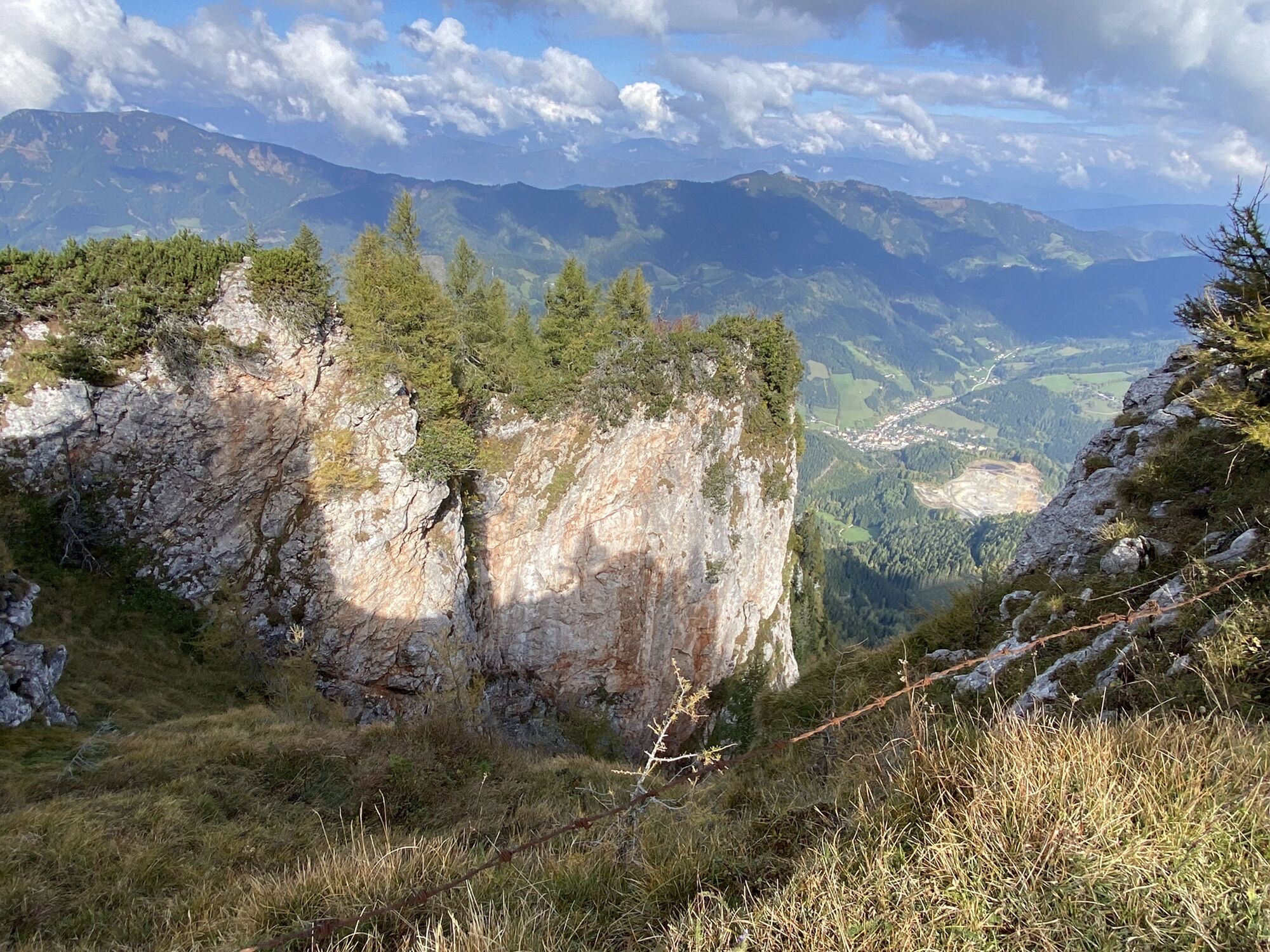
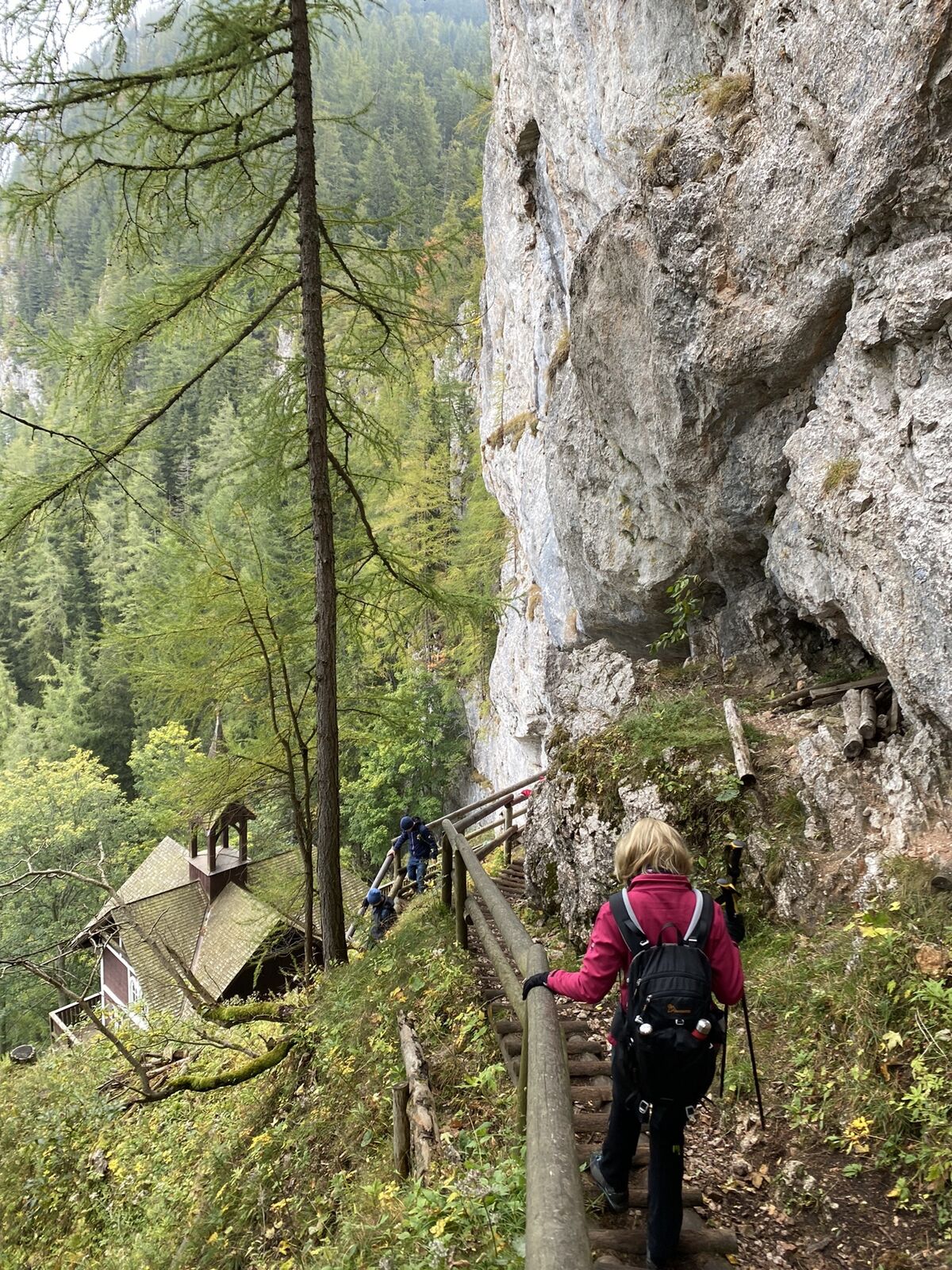

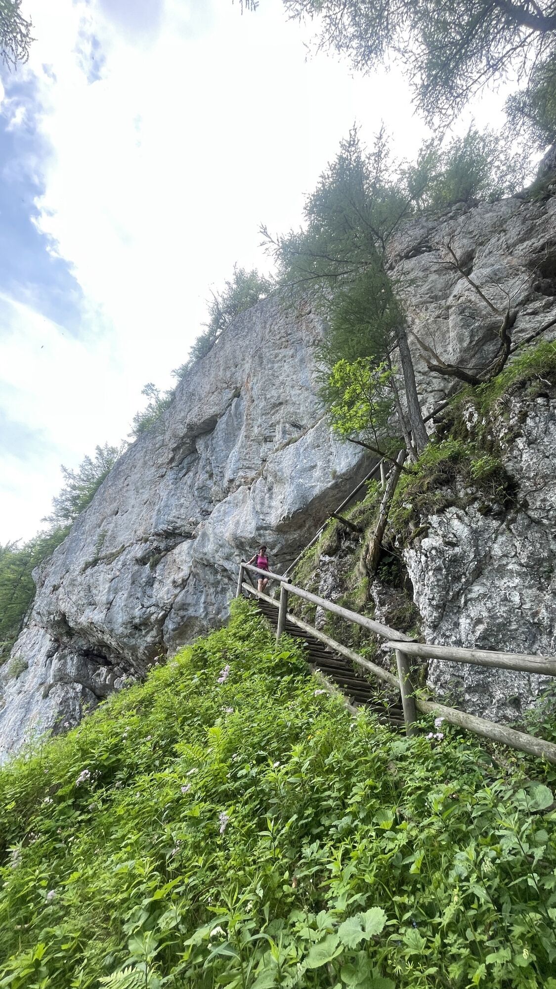
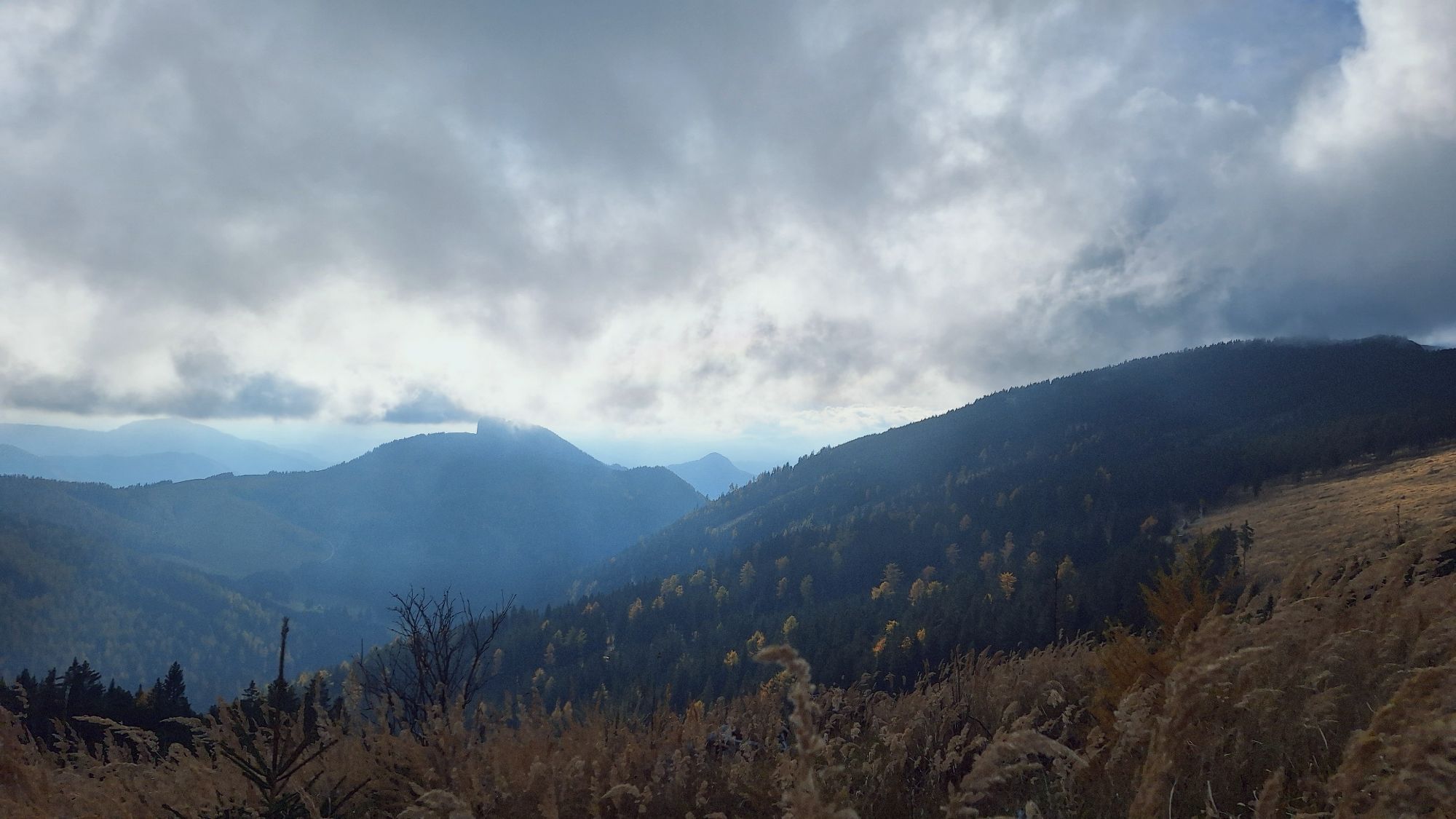
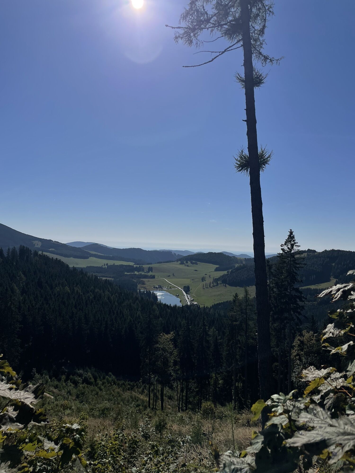
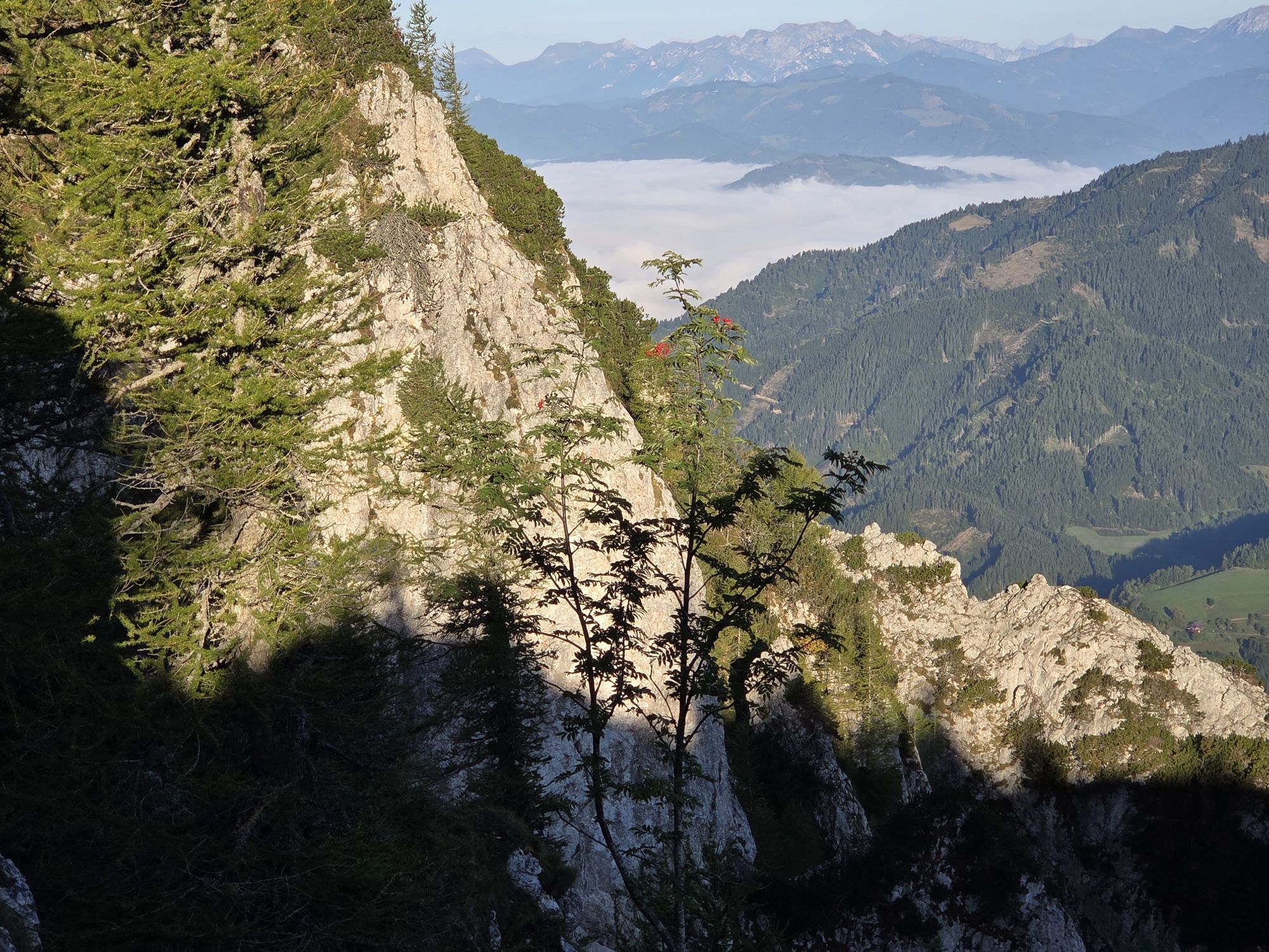
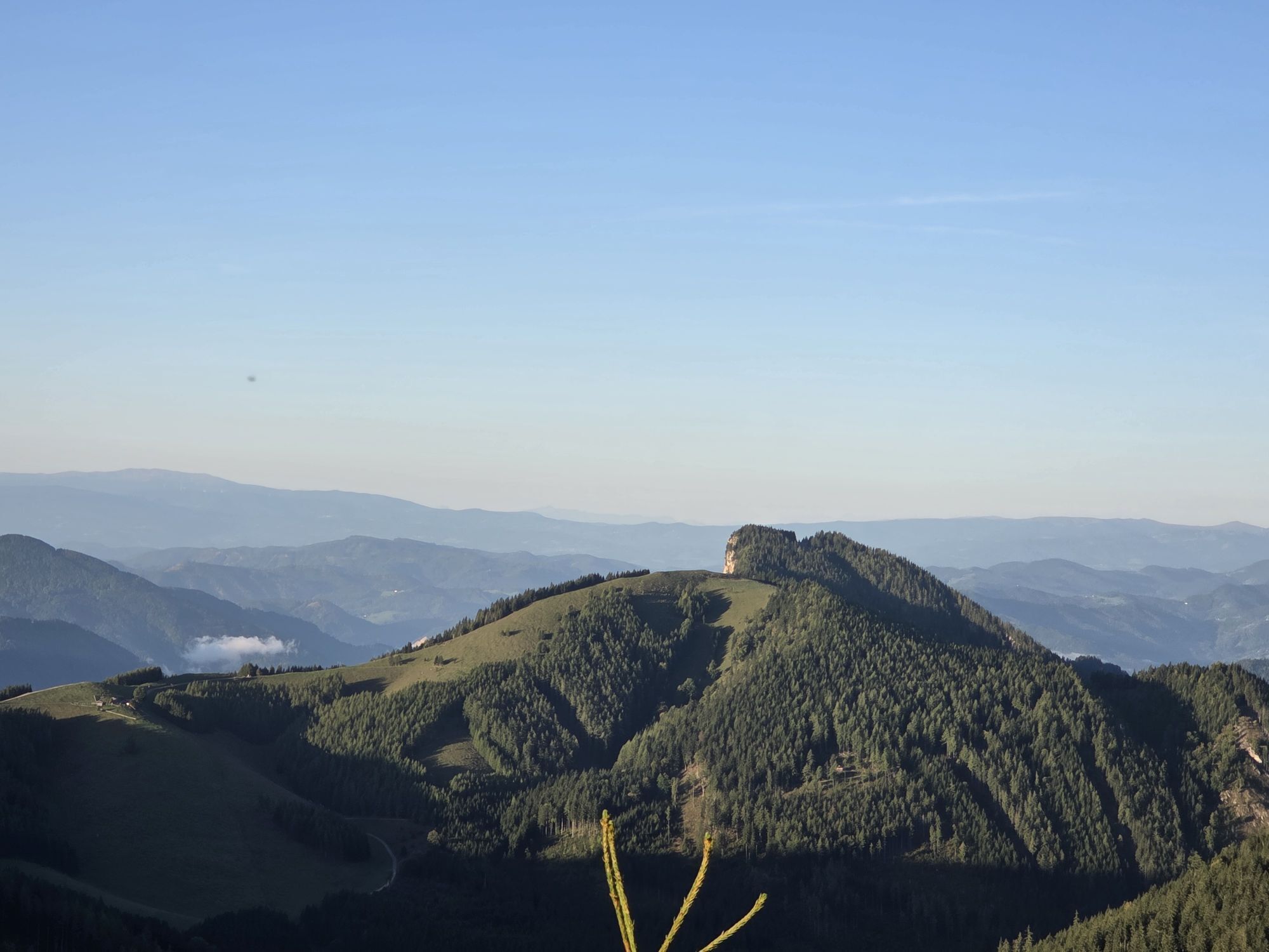
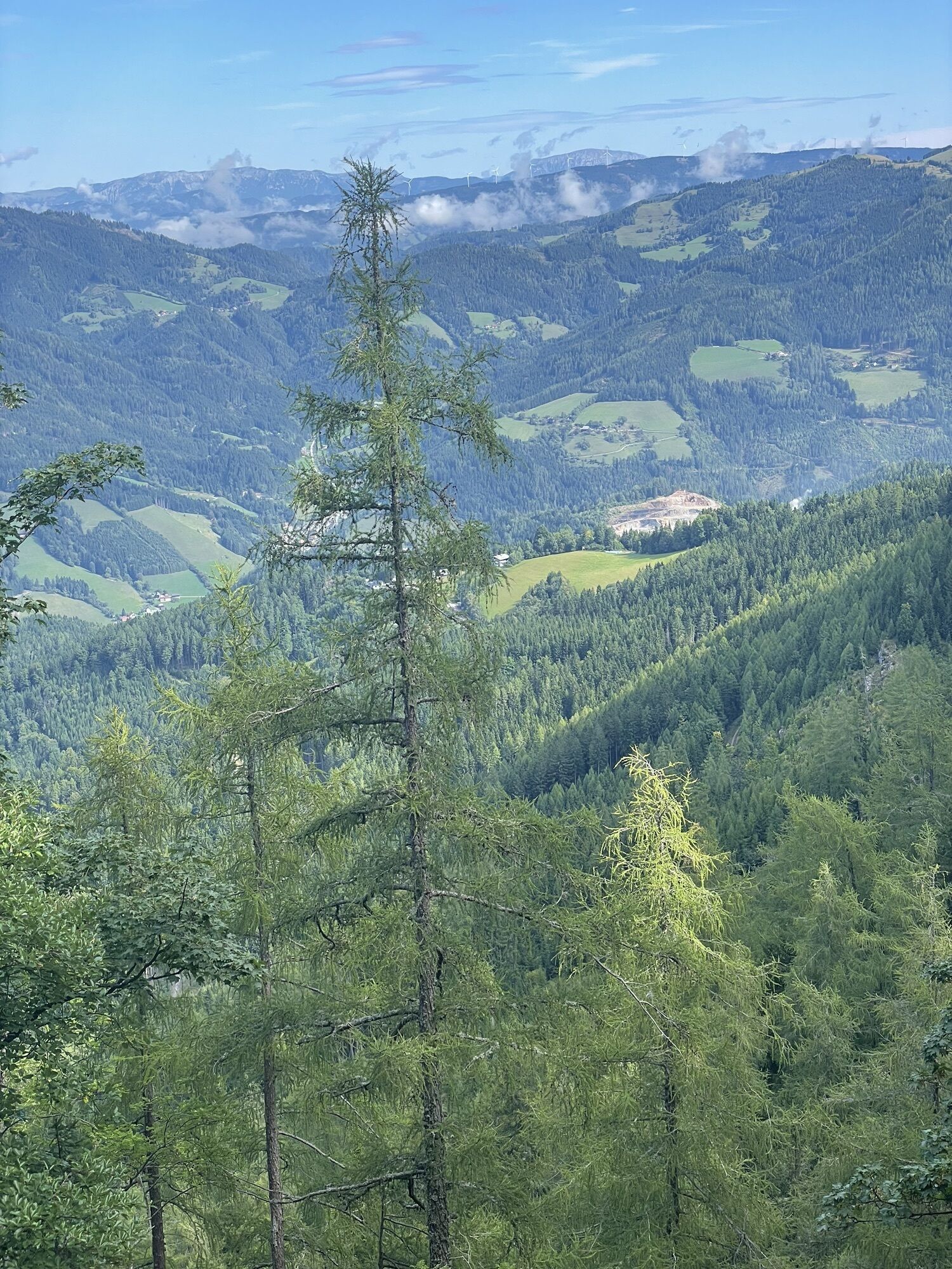
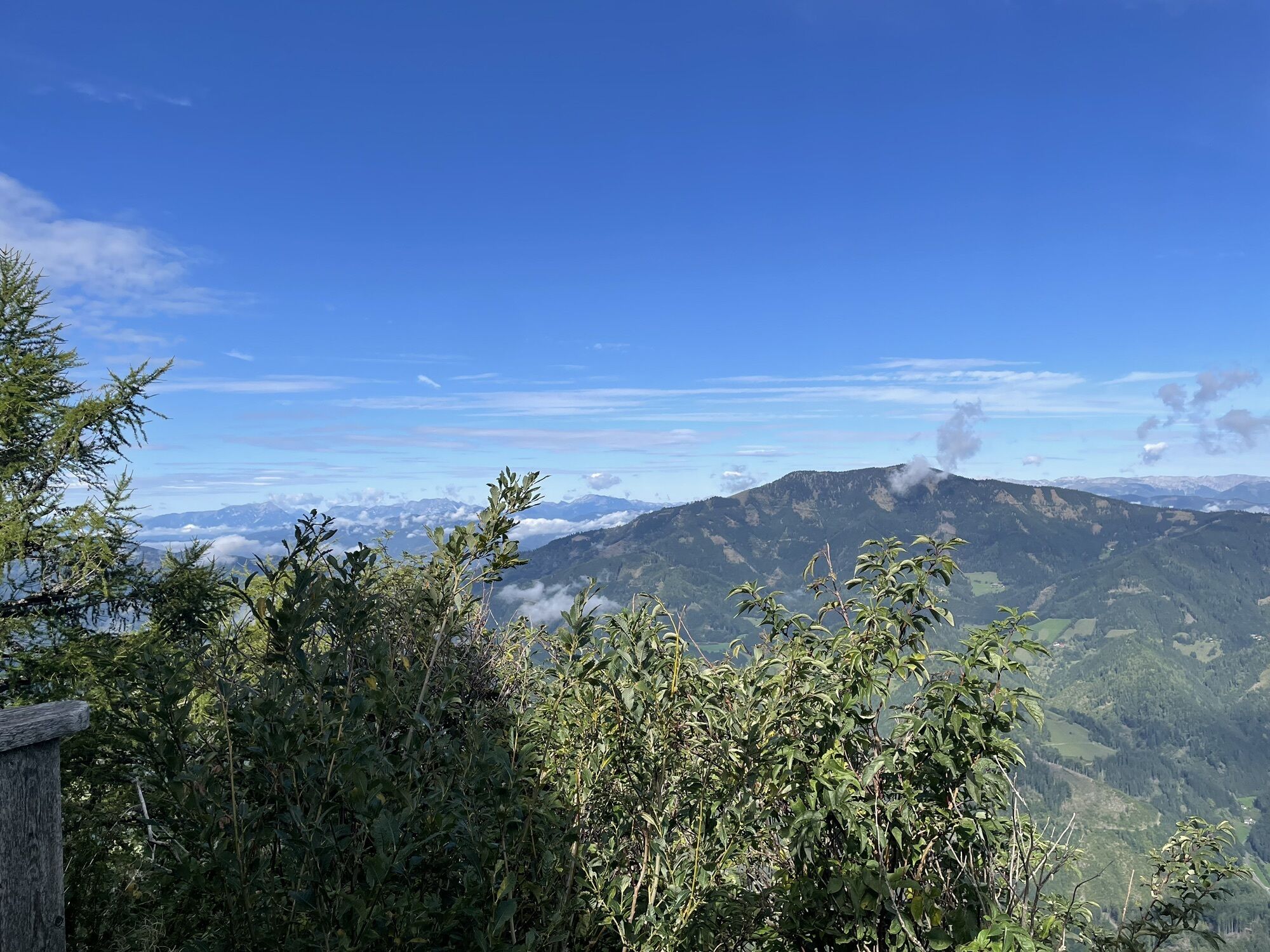
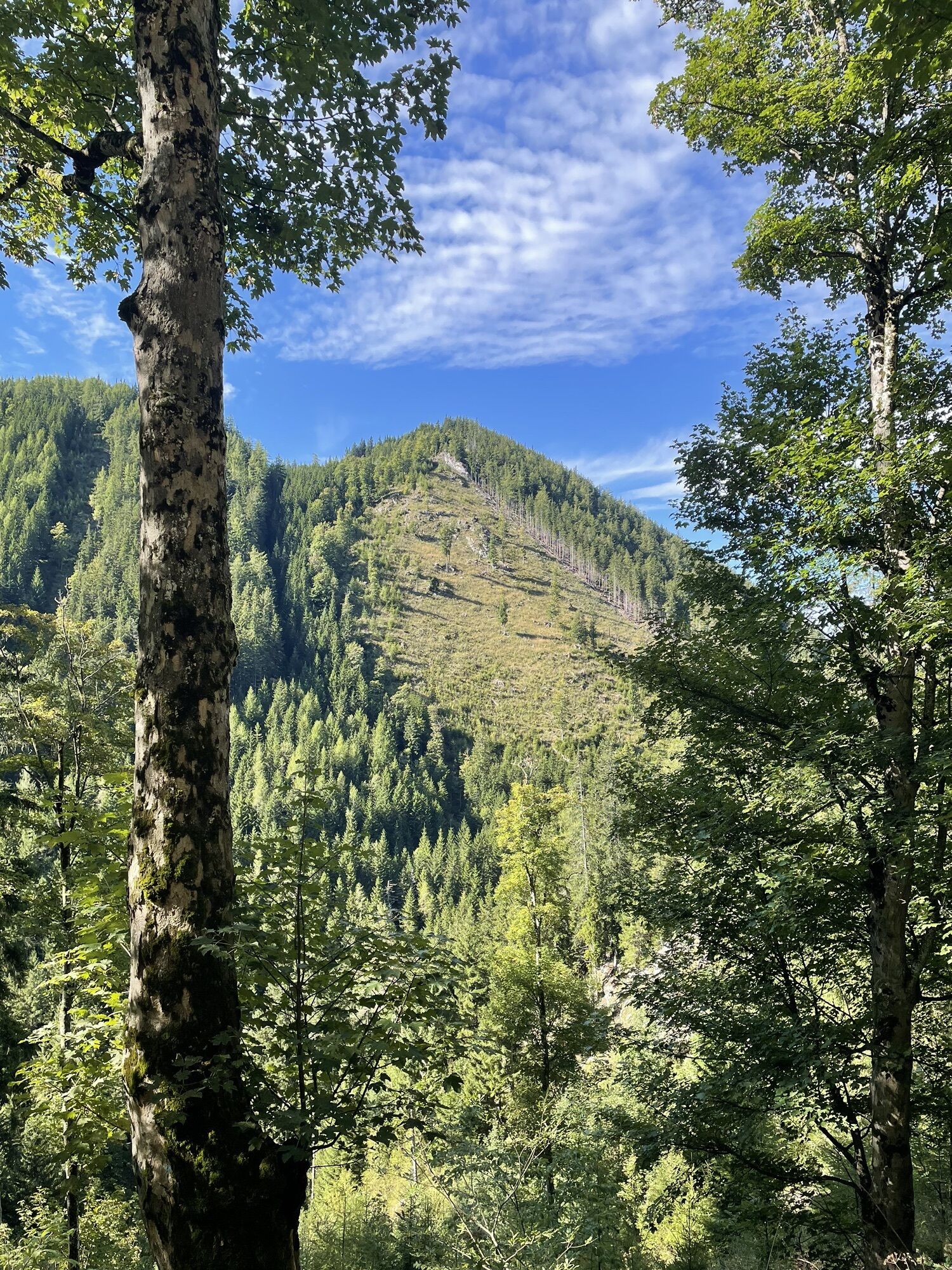
Von der Teichalm geht’s bis zum Gipfel stets bergauf…..die Mühen werden mit einem sehr schönen Ausblick belohnt. Der Abstieg über Schüsserlbrunn ist etwas anstrengender…felsiges Gelände fordern Trittsicherheit.
Gute Wanderschuhe, Stöcke usw.
Mit dem PKW über Fladnitz auf die Teichalm
Keine
Direkt beim Teichalmsee gibt’s genug Parkplätze
Popular tours in the neighbourhood
- 4,0
Fladnitz an der Teichalm: Teichalm - Hochlantsch
Hiking3,69 km - 4,3
Plankogel-Rundweg, Sommeralm
lightHiking6,30 km - 4,5
Siebenkögel-Rundweg, Sommeralm
mediumHiking12,6 km - 4,6
Frauenberg - Rennfeld Steiermark
lightHiking6,40 km - 4,6
Mixnitz - Drachenhöhle - Röthelstein - Rote Wand - Tyrnauer Alm
mediumHiking14,6 km - 4,7
Rote Wand über Tyrnaueralm, Teichalm
mediumHiking14,0 km - 4,1
Rote Wand
lightHiking10,9 km - 4,3
Hochlantsch-Runde, Teichalm
heavyHiking11,5 km - 4,4
Röthelstein - Rote Wand
mediumHiking12,5 km - 4,7
Rote Wand
mediumHiking10,6 km
Hiking & Tracking


Don't miss out on offers and inspiration for your next holiday
Your e-mail address has been added to the mailing list.