


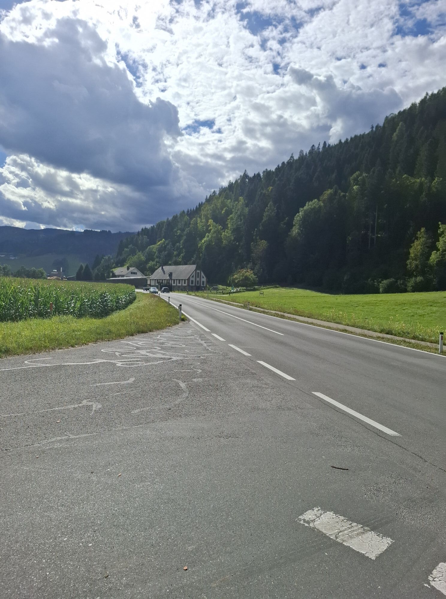
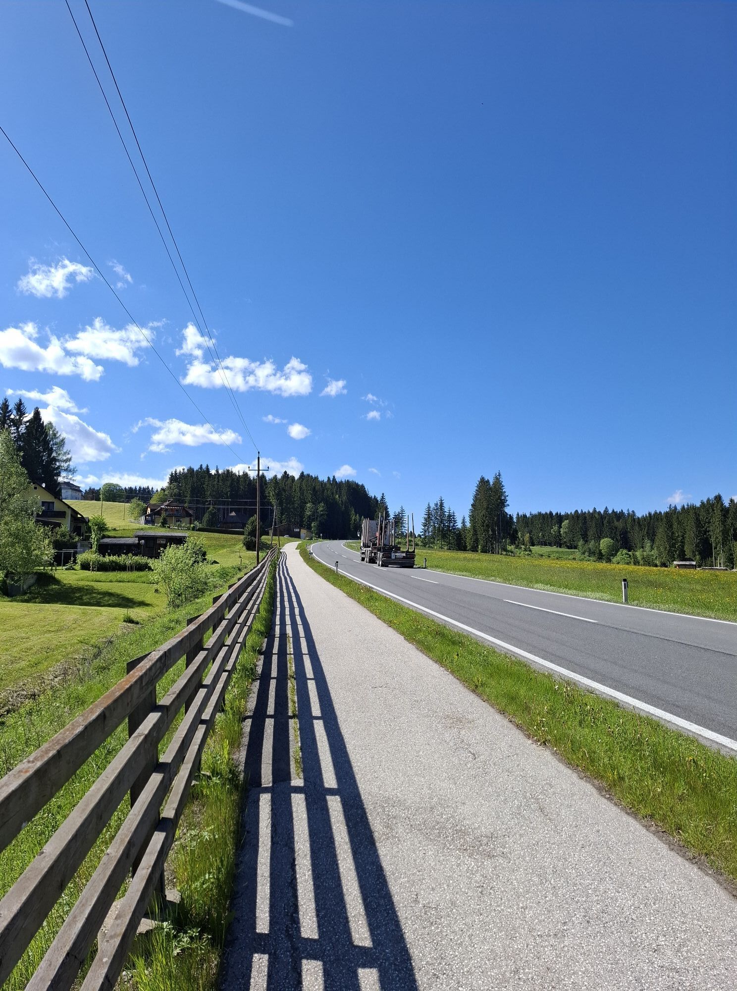
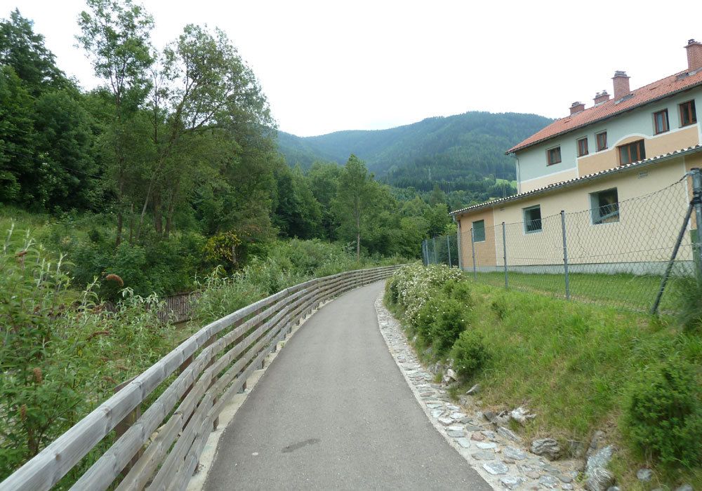
Die ganze Tour führt fast ausschließlich über einen Radweg und auf verkehrsarmen Nebenstrassen von Weißkirchen zur Kärntner Landesgrenze und ist als Verbindungsradweg zwischen dem Murradweg und den Lavantradweg...
Die ganze Tour führt fast ausschließlich über einen Radweg und auf verkehrsarmen Nebenstrassen von Weißkirchen zur Kärntner Landesgrenze und ist als Verbindungsradweg zwischen dem Murradweg und den Lavantradweg R10 in Kärnten zu sehen. Die Tour endet mittem im Wald bei der Landesgrenze.
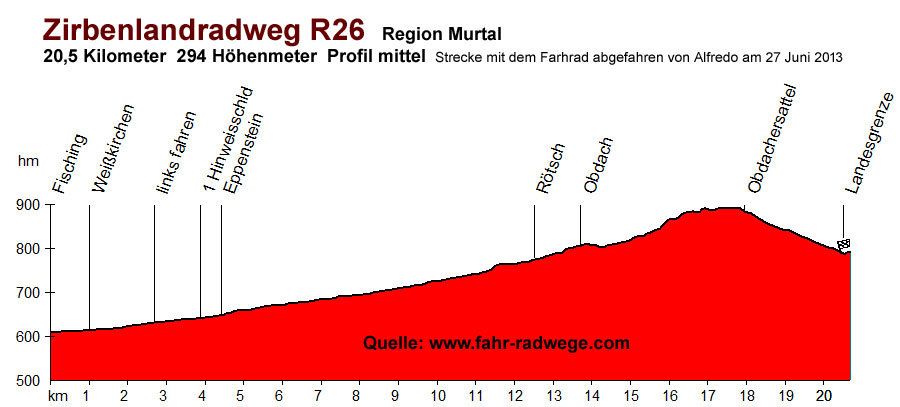
Streckenlänge: 20,5 km
Strassenbelag: Asphalt /Kiesweg
Höhenmeter: 294 hm
Profil: mittelschwer
Beschilderung: nicht gut
Von Ort zu Ort
Start beim Murradweg in Fisching
1 km Fisching
1 km Weißkirchen
2,7 km links fahren
3,9 km erstes Hinweisschild
4,4 km Eppenstein
12,7 km Rötsch
13,7 km Obdach
17,9 km Passhöhe Obdachersattel
20,5 km Kärntner Landesgrenze
Anschlussradwege
Murradweg R2
Lavantradweg R10
Strecke abgefahren mit dem Rad von Alfredo dem langsamsten Bergfahrer Europa's am 17. Juni 2013.


Mit dem Auto:
Auf der S36 Murtalschnellstraße bis nach Zeltweg und weiter nach Weißkirchen
Popular tours in the neighbourhood
- 4,7
Rappoldkogel vom Salzstieglhaus
mediumHiking2,33 km - 4,6
Zirbitzkogel-Runde über Lindersee
mediumHiking10,5 km - 4,4
Naturfreundehaus Winterleiten 1800 m- Zirbitzkogel 2369 m- Kreiskogel 2340 - Winterleitenhütte
heavyHiking11,9 km - 4,8
Zirbitzkogel Waldheimhütte - Wildsee - Fuchskogel - Zirbitzkogel, Steiermark/Österreich
mediumHiking15,2 km - 4,1
Zirbitzkogel über Wildsee
heavyHiking14,3 km - 3,7
Rappoldkogel-Runde vom Alten Almhaus
mediumHiking12,1 km - 5,0
Große 4-Seenrunde am Zirbitzkogel
mediumHiking18,8 km - 4,5
Salzstieglhaus - Speikkogel - Peterer Riegel
mediumHiking11,2 km - 4,7
Altes Almhaus -Rappoldkogel
mediumHiking11,7 km - 4,7
Vonm Almidyll Sabathy (Sabathyhütte) zur Rothaidehütte
lightHiking7,31 km
Hiking & Tracking


Don't miss out on offers and inspiration for your next holiday
Your e-mail address has been added to the mailing list.