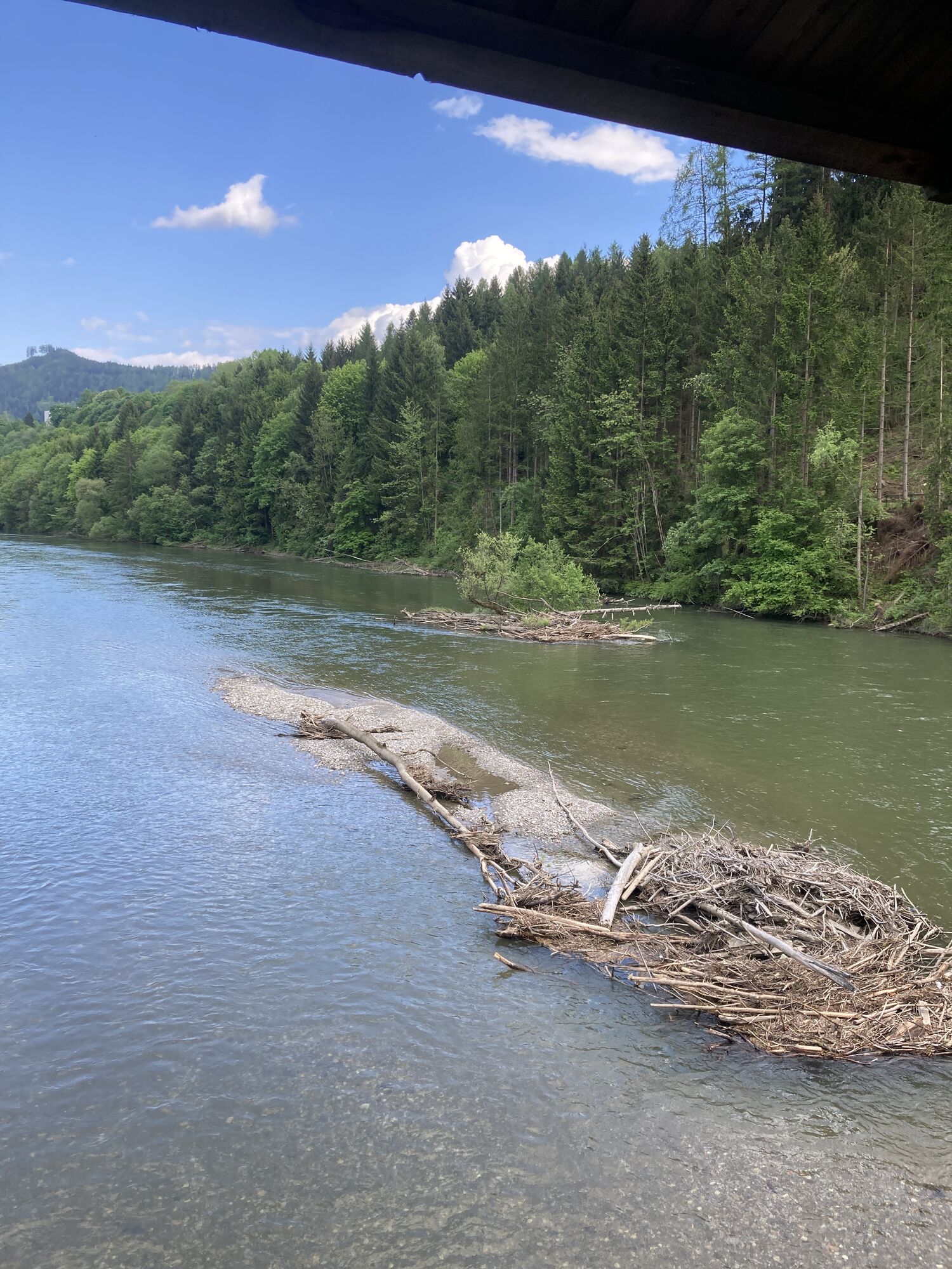
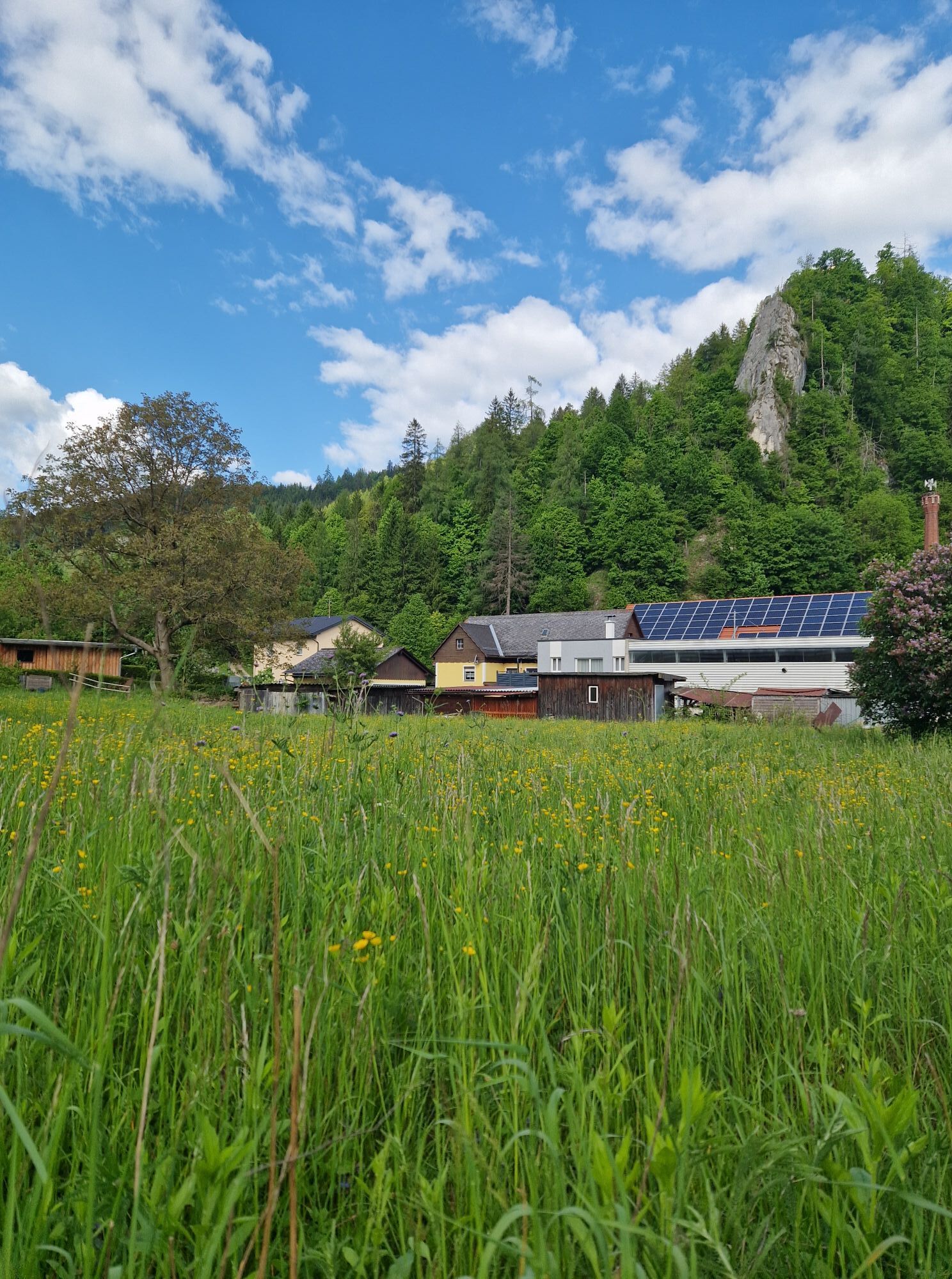
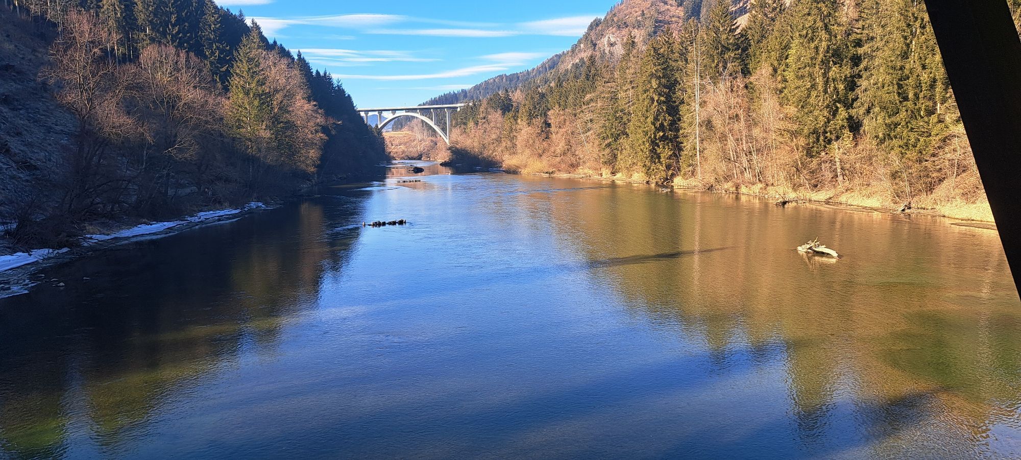
Eppenstein - Pfarrkirche hl. Veit - Buddhistisches Diamantweg-Zentrum Judenburg - St. Nikolaus - Stadtpfarrkirche
medium
Navigate
Navigate
Get this tour on your mobile
Eppenstein - Pfarrkirche hl. Veit - Buddhistisches Diamantweg-Zentrum Judenburg - St. Nikolaus - Stadtpfarrkirche
medium
Cycling
33,31
km
Scan the QR code and start navigation in the bergfex app

Hiking & Tracking


Distance
33,31
km
Duration
02:09
h
Ascent
271
m
Sea level
650 -
742
m
Track download
Eppenstein - Pfarrkirche hl. Veit - Buddhistisches Diamantweg-Zentrum Judenburg - St. Nikolaus - Stadtpfarrkirche
medium
Cycling
33,31
km


Route
Pfarrkirche hl. Veit
(687 m)
Place of worship
3,1 km
Fisching
(679 m)
Village
4,2 km
Evangelische Johanneskirche
(667 m)
Place of worship
8,6 km
Neuzeltweg
(676 m)
Village
9,9 km
Buddhistisches Diamantweg-Zentrum Judenburg
(738 m)
Place of worship
21,0 km
St. Nikolaus - Stadtpfarrkirche
(736 m)
Place of worship
21,3 km
Pfarrkirche hl. Veit
(687 m)
Place of worship
30,2 km
Route
Eppenstein - Pfarrkirche hl. Veit - Buddhistisches Diamantweg-Zentrum Judenburg - St. Nikolaus - Stadtpfarrkirche
medium
Cycling
33,31
km
Eppenstein
(727 m)
Village
0,6 km
Mühldorf
(735 m)
Settlement
0,8 km
Weißkirchen in Steiermark
(687 m)
Village
2,7 km
Pfarrkirche hl. Veit
(687 m)
Place of worship
3,1 km
Fisching
(679 m)
Village
4,2 km
Landgasthaus Liebmann
(680 m)
Restaurant
4,3 km
Silberrain
(673 m)
Settlement
5,6 km
Möbersdorf
(667 m)
Village
6,3 km
Neufisching
(651 m)
Village
7,7 km
Sturmtreff
(651 m)
Restaurant
7,8 km
Evangelische Johanneskirche
(667 m)
Place of worship
8,6 km
Zeltweg
(659 m)
City
9,2 km
Neuzeltweg
(676 m)
Village
9,9 km
Landhaus Wilhelmer
(696 m)
Restaurant
13,0 km
Aichdorf
(697 m)
Village
13,1 km
Hetzendorf
(708 m)
Village
14,9 km
Pizzeria Gasthaus Zum Kerzenschein
(712 m)
Restaurant
15,5 km
Pizzeria Rialto
(720 m)
Restaurant
16,5 km
Buddhistisches Diamantweg-Zentrum Judenburg
(738 m)
Place of worship
21,0 km
Judenburg
(738 m)
City
21,1 km
St. Nikolaus - Stadtpfarrkirche
(736 m)
Place of worship
21,3 km
Murdorf
(703 m)
Settlement
22,8 km
Landgasthaus Liebmann
(680 m)
Restaurant
29,0 km
Fisching
(679 m)
Village
29,1 km
Pfarrkirche hl. Veit
(687 m)
Place of worship
30,2 km
Weißkirchen in Steiermark
(687 m)
Village
30,2 km
Mühldorf
(735 m)
Settlement
32,5 km
Eppenstein
(727 m)
Village
32,7 km
No reviews yet
Popular tours in the neighbourhood
- 4,6
Zirbitzkogel-Runde über Lindersee
mediumHiking10,5 km - 3,8
Tremmelberg "Turm im Gebirge" über Vorder-Tremmel
lightHiking9,37 km - 4,7
Vonm Almidyll Sabathy (Sabathyhütte) zur Rothaidehütte
lightHiking7,31 km - 4,8
Zirbitzkogelrunde vom Almidyll Sabathy (Sabathyhütte) über Schlaferkogel und Rothaidehütte
mediumHiking12,4 km - 4,7
Sabathy Hütte auf Zirbitskogel über Lindersee
lightHiking4,76 km - 5,0
Rothaidehütte Runde Zirbitzkogel
mediumHiking6,17 km - 4,7
Von der Sabathy über die Winterleiten auf den Zirbitzkogel
mediumHiking14,8 km - 4,5
Kreiskogel und Zirbitzkogel-Runde über die Winterleitenseen
heavyHiking14,7 km - 4,2
Ruinen-Rundwanderweg
lightHiking7,79 km - 5,0
Lindersee, Zirbitzkogel, Lavantsee
mediumHiking13,5 km
Hiking & Tracking

Over 550.000 tour suggestions, detailed maps and an intuitive route planner make the app a must-have for all nature enthusiasts.

Don't miss out on offers and inspiration for your next holiday
Subscribe to the newsletter
Error
An error has occurred. Please try again.Thank you for your registration
Your e-mail address has been added to the mailing list.
Tours throughout Europe
Austria Switzerland Germany Italy Slovenia France Netherlands Belgium Poland Liechtenstein Czechia Slovakia Spain Croatia Bosnia and Herzegovina Luxembourg Andorra Portugal Iceland United Kingdom Ireland Greece Albania North Macedonia Malta Norway Montenegro Moldova Kosovo Hungary San Marino Romania Estonia Latvia Belarus Cyprus Lithuania Serbia Bulgaria Monaco Denmark Sweden Finland